The ancient Phoenician port city is located on a mound on the Carmel coast, and was one of the greatest cities along the northern shore.
Home > Sites > Carmel> Coast > Tel Dor (Dora, Doros, Kh. el-Burj)
Contents:
Overview
Aerial Map
History
Photos
Archaeological
Historical
Etymology
Background:
The ancient port city of Dor is located on a mound, above a sandstone ridge on the Carmel coast. With 40 centuries of history, 30 seasons of excavations, it is one of the most important archaeological sites in the northern side of Israel.
Joshua 12 23: “The king of Dor in the coast of Dor”.
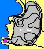
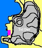
Map / Aerial View:
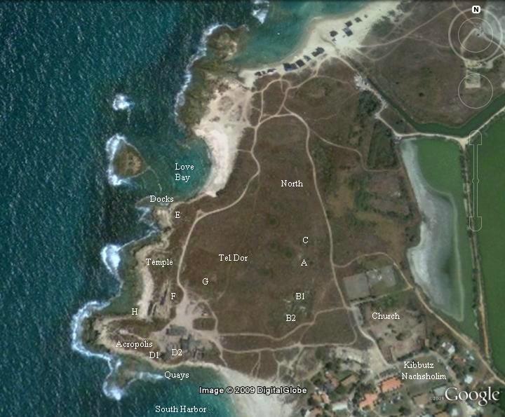
Tel Dor is located on the shore, rising 14M above the sea level, and with a size roughly 500M square. It has three major harbor bays, two in the north and south, and one on the west. The site is accessed from Dor beach near Kibbutz Nachsholim, 2KM north-west of the Furedis junction.
An aerial photo is shown below, indicating the major points of interest and the excavation areas (marked in single letters with optional suffix numbers).
History of the place:
-
Bronze age
Dor was a Canaanite city, founded in the Mid-Bronze period at about 20C BC. It was mentioned in 12C BC Egyptian sources as a marine city of “D-jr”.
The Canaanite city was protected by a massive high walls, surrounded by the sea on its west and south side, and a wet moat on the east and north side (which eventually was covered by sand). The mound is mostly man-made and accumulated additional height over the years. It was, according to the standards of its times, invincible. Even until the Roman period, it was a “fortress hard to be taken” (as per Roman historian Josephus Flavius).
-
Iron (Biblical) age I – Israelites conquest
Dor is listed in the Bible as one of the cities that joined the northern coalition of Canaanite kings against the invading Israelites in the 13th century BC (Joshua 11 1-2): “And it came to pass, when Jabin king of Hazor had heard those things, that he sent to Jobab king of Madon …, and And to the kings that were on the north of the mountains… and in the borders of Dor on the west”. The battle at the “waters of Merom” was the Canaanites last stand, and they lost – Joshua annihilated their armies, plundered their cities and burnt the city of Hazor.
The city of Dor surrendered to the Israelites (Joshua 12 7,23): “And these are the kings of the country which Joshua and the children of Israel smote on this side Jordan on the west, from Baalgad in the valley of Lebanon even unto the mount Halak, that goeth up to Seir; which Joshua gave unto the tribes of Israel for a possession according to their divisions… The king of Dor in the coast of Dor…”.
However, Canaanite Dor was not subdued and repopulated by the Israelite tribe of Menashe, who only later taxed them (Joshua 17 11-12): “And Manasseh had … the inhabitants of Dor and her towns … Yet the children of Manasseh could not drive out the inhabitants of those cities; but the Canaanites would dwell in that land. Yet it came to pass, when the children of Israel were waxen strong, that they put the Canaanites to tribute, but did not utterly drive them out”. The Israelites preferred to dwell in the hills to the east of the Carmel shore, which was a common Israelite settlement pattern.
-
Iron (Biblical) age I – Invasion of “Sea people”
The excavations revealed a total destruction of the city in the middle of the 11th century BC. This destruction may have been attributed either to the Phoenicians from Tyre and Sidon, or to the invasion of the “sea people” or Philistines, who invaded and settled along the eastern shores of the Levant. The Bible wrote about this (Amos 9 7): “Have not I brought up Israel out of the land of Egypt? and the Philistines from Caphtor…”. Caphtor is the island of Cypress. Another Biblical source points out to the source of the Philistines (Jeremiah 47 4): “Because of the day that cometh to spoil all the Philistines, and to cut off from Tyrus and Zidon every helper that remaineth: for the LORD will spoil the Philistines, the remnant of the country of Caphtor”.
Ramses III (1168BC) naval battle relief in Medinet Habu, at Tebes, Upper Egypt. It tells about the invasion: “The foreigners made a conspiracy in their island…their confederation ware Plst, Skl, … no land could stand before them…they were coming towards Egypt, and fire walked before them.” This period of the waves of invasions is dated roughly to the 12th C BC. The identity of the invaders is not certain, and several hypotheses attempt to resolve the origins of these people. Another Egyptian source (“Wen-Amon” scroll, 1080BC) lists Dor as the kingdom of the “Skl” people, one of these sea people named by Ramses. They may have been, according to some scholars, Sikels from Sicily.
A few years later, the city became a Phoenician city for a short period (1050-1000BC).
-
Iron (Biblical) age II
King David managed to suppress the Philistines and include their cities in his kingdom. Dor was incorporated into Solomon’s kingdom (1 Kings 4 1-2, 11): “So king Solomon was king over all Israel. And these were the princes which he had… The son of Abinadab, in all the region of Dor”.
The Israelite kings held the city until 925BC, when Israel – under King Rehoboam son of Solomon – was conquered by the Egyptian king Shishak (1 Kings 14 35): “And it came to pass in the fifth year of king Rehoboam, that Shishak king of Egypt came up against Jerusalem”.
-
Assyrians
The city was ruled by the Israeli kings until it was destroyed in 732BC by the Assyrian King Tiglath-Pileser III, who annexed the area (as per 2 Kings 15: 29: “In the days of Pekah king of Israel came Tiglathpileser king of Assyria, and took … Galilee…and carried them captive to Assyria”).
The Assyrians made Dor and Megiddo their regional northern capital cities, rebuilding the city they just destroyed. A new gate and walls were constructed.
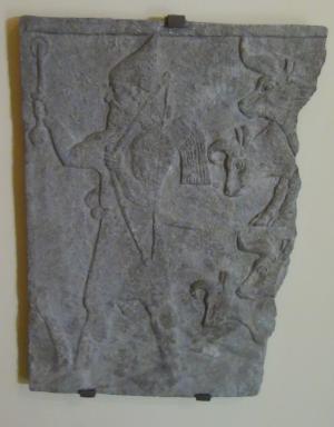
Fragmentary relief slab from Tiglath-Pileser III palace in Nimrud (744-727BC)
[Istanbul Archaeological museum]
-
Phoenician city
The Assyrians ruled here for 100 years, and were followed by the Babylonians (630BC-538BC) and the Persians (538-332BC). The excavations in Tel Dor unearthed many remains from the Persian period. During this time, Dor was managed by the Phoenicians, who made it thriving marine port city. The Phoenicians were the great marine merchants of those times, mastered the seas of the Mediterranean, and established cities all along the coast of Israel. Dor had three natural bays that were used as docking quays, and natural lagoons to the south of the site made it an ideal safe haven for their vessels. Furthermore, the city was located on the crossroad of two branches of the greatest ancient route – Via Maris – north through the coast of the Carmel and the north-east through Yokneam.
The unprecedented growth lasted until a partial destruction by the Egyptians in 399-380BC, but then returned to Persian control (380BC) .
-
Hellenistic Period
Following Alexander the Great conquest, the city was transformed to a Phoenician-Hellenistic city (332BC- 57BC). It kept its ancient name with some variation (Dora). It was known as the city of Doros son of Poseidon the Sea God, who according to Greek mythology founded the city. The city was rebuilt in a grand scale, and became one of the important cities along the northern coast. This reconstruction in an ancient mound is rare, and in most ancient cities the Greeks founded cities outside of the old ones. However, Dor is an exception since its port was still required by the Greeks and the Romans. After all, there are but a few good anchoring bays in this region.
Josephus Flavius described the city as a “fortress hard to be taken” when in 138BC Antiochos IV placed a siege on it from land and sea (Antiquities 13 7, Wars 2 2): “As Antiochus was now come to Seleucia, and his forces increased every day, he marched to fight Trypho; and having beaten him in the battle, he ejected him out of the Upper Syria into Phoenicia, and pursued him thither, and besieged him in Dora which was a fortress hard to be taken, whither he had fled. He also sent ambassadors to Simon the Jewish high priest, about a league of friendship and mutual assistance; who readily accepted of the invitation, and sent to Antiochus great sums of money and provisions for those that besieged Dora, and thereby supplied them very plentifully, so that for a little while he was looked upon as one of his most intimate friends; but still Trypho fled from Dora to Apamia, where he was taken during the siege, and put to death, when he had reigned three years”.
The city minted their own coins (205-199BC), an indication of its importance. Their mintage symbol was Δω (“Do”), the prefix letters of the city.
-
Early Roman – “ruler of Seas”
After Pompey conquered the land in 63BC, the Roman general separated Dor from the Hasmonean Kingdom, granting it an autonomous city status (Wars 2 7): “Pompey … also took away from the nation all those cities that they had formerly taken… and reduced Judea within its proper bounds… He also made other cities free from their dominion… maritime cities, Gaza, and Joppa, and Dora“.
The city also minted their own coins, counting the years since Pompey’s conquest.
The local mintage, a symbol of the city’s importance, continued during other periods (44/45, 32/22BC, 14/15 through 75/76, 111/112, 117, 143/145, 210-211).
The icon of Doros, son of Poseidon (Neptune in Roman mythology), was a common symbol on these coins. An example of such coin is seen here, from the time of Caesar Nero Claudius (54-68AD).
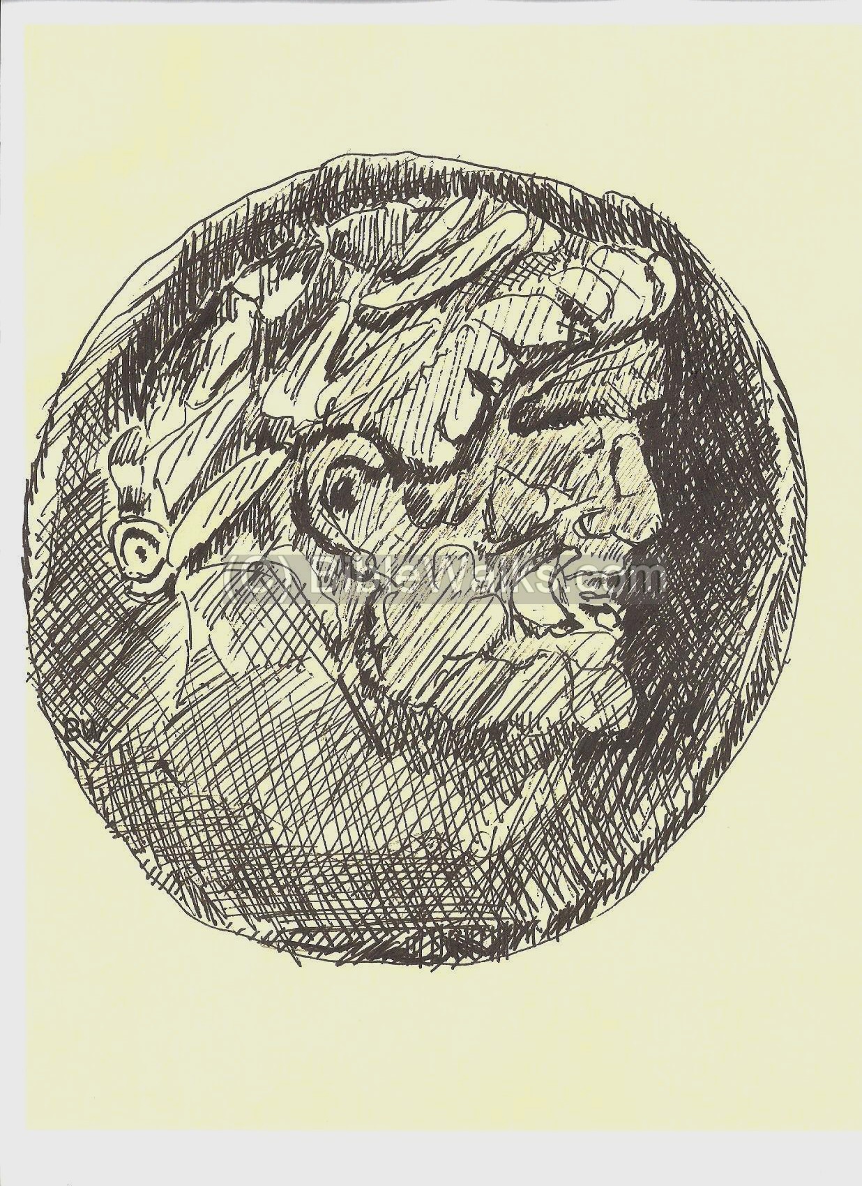 Head of Doros, bearded and laureate
Dor Mint, 54-68AD Diameter: 22 Weight: 10.06gm
Over 50 types of Dorian coins are known. They were used in the region and found in many ancient cities. Of course, many of Dora coins were found in the Dor excavations.
A coin from Trajan reads “Holy Dora, city of Asylum, Autonomous, Ruler of Seas”. This indeed it the motto of the Roman Dora.
Dor was rebuilt in Roman standards. A massive reconstruction was managed by Gabinus, Pompey’s general in Syria. A Roman theater was constructed in the north side of the city. The city population increased substantially, and required an improved water supply. This was based on two aqueducts that fetched water from a distance of 12KM from Tata spring south-east of Meir Shfeya in the Daliah creek, and from springs near Kibbutz Ma’ayan-Zvi.
Sadly, most of the Roman building blocks were stolen by the Arab villagers of Tantura, who resided on the south side of the southern bay.
-
Late Roman – Decline
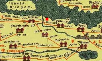
The city is seen in the Peutinger map (Peutingeriana tabula) of the 4th C Imperial Roman roads. It is named “Thora”, which is marked by a red square in the center of this section of the map. Dor, according to the Roman map, was a major city which was connected Caesarea Maritama (“Cesaria”) to Acre (“Ptolma”) and Tyre (“Tyro”).
King Herod (37-4BC) received Dor under his rule in 32BC. However, Herod realized that Dor’s port was too small and during winter the vessels had to anchor outside the bays. This great builder King embarked on a grand scale project – building a modern large port in Caesarea maritime.
After the foundation of Caesarea by King Herod , the focus of the maritime commerce shifted from Dor to Caesarea, since the harbors of Caesarea were larger and deeper, and was better equipped to handle the ever increasing maritime trade. Many of the residents of Dor transferred to the bigger and larger city, and thus Dor started to decline.
-
Byzantine Period – death of the city
The city was mostly deserted by the 3rd century AD and the city above the mound was abandoned. Therefore, there are no Byzantine remains on top of the mound.
During the 4th century a large basilica was constructed on the south-east side of the city, and was a seat of Bishops. This church, located outside of the mound, supported the pilgrims along the road to Jerusalem. The church was destroyed in the 7th century after the Arab conquest. Since then the site was used as a Arab cemetery.
-
Crusaders fortress
The Crusaders built a fortress on the acropolis (high city), on the south-western side of the city. This was the Crusader’s fortress of Merle, constructed by the French noble family De-Merle, who lived in Dor. The Crusaders removed all Roman structures from the area of the hill, cut a trench near area D, and rebuilt a fortress using the Roman pillars and rocks. In 1187 the fortress was acquired by the Crusader Templars, who held it until their retreat in 1264. It was then demolished by the Mamlukes.
-
Ottoman Period
In 1757 Daher el-Omar, the Bedouin ruler of the Galilee, captured the port city of Tantura (Dor). He expanded the capacity of the port in order to expand the export of cotton and olive trade with Europe.
In 1799 the French army, commanded by Napoleon, retreated from the failed siege of Acre, and camped here. They dumped and buried their heavy canons, blew up the ammunition, and retreated to Jaffa. Some of this gear was located and now on display at the Dor Museum.
Dor was examined in the PEF survey (1866-1877) by Wilson, Conder and Kitchener. It appears in the the section of this map of 1878, named “el Burj” (citadel). They wrote: “The ruins consist of a mound with a tower towards the south, the remains of a harbour, and of a colonnaded building near it, of a large cistern called el Hannaneh, and of a causeway leading north and south to the east of the town. Rockcut tombs also exist north and south of the ruins”.
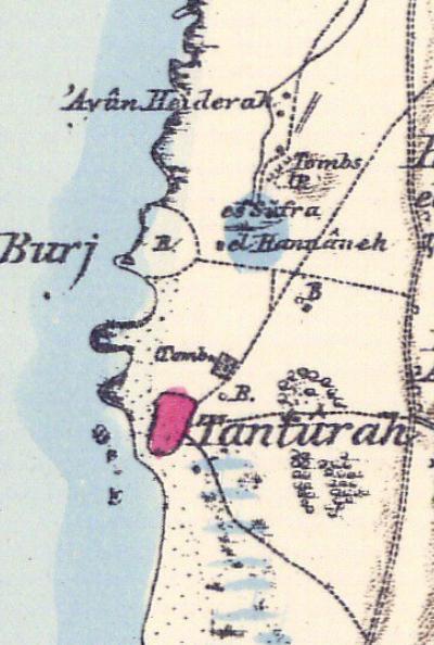 Part of Map Sheet 7 of Survey of Western Palestine,
by Conder and Kitchener, 1872-1877.
(Published 1880, reprinted by LifeintheHolyLand.com)
They continued to describe the ruins and concluded: “El Burj is thought to stand on the site of the ancient Dor, which was in ruins in the fourth century. The tombs are apparently Jewish, but most of the buildings may probably, and the tower with a great degree of certainty, be attributed to the Crusaders”.
The Arab village of Tanturah is located on the south side (marked in pink). Their report is as follows: “This is a moderate-sized village of cabins, one storey high, built of mud, and lying along the beach. To the east is a square, isolated stone building used as a Medafeh, or ‘guest-house,’ for passing travelers. There is a well north-east of the village … The village has a small coasting trade with Jaffa, and sailing boats are anchored off the shore.”.
An illustration of the ruins of the Crusaders fortress, dated 1882, was published in a book by CH. W. Wilson , one of the PEF explorers. The title: “A crusading fort at Tanturah”, with subtitle: “Its shattered tower is thirty feet in height. In the distance the village of Tanturah appears, on the site of the ancient city of Dor”.
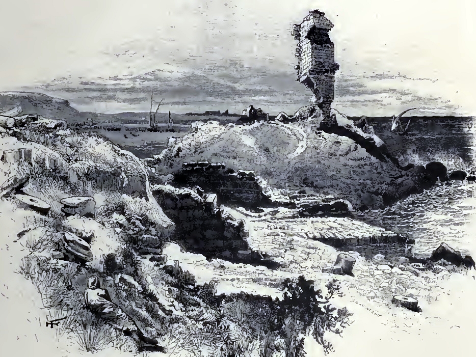
Ch. W. Wilson, Picturesque Palestine, 1882, Vol III P. 105
-
Modern Times
A Moshav with the same name – Dor – was established in 1945 on the south side of the southern harbor. A Kibbutz – Nachsholim – was founded in 1948 on the western side of the mound.
The site was surveyed in 1924 and 1950 and underwater surveys were conducted in 1962-1967. Furthermore, Tel Dor is a major archaeological site since 1980, with 30 seasons of excavations from several universities (Haifa, Jerusalem, Berkeley and others). The site is open to the public but is still in the stage of active excavations. It awaits substantial funding, conservation and reconstruction to become an organized national park, but has a great potential to become one of the exciting historical sites in this region.
Photos:
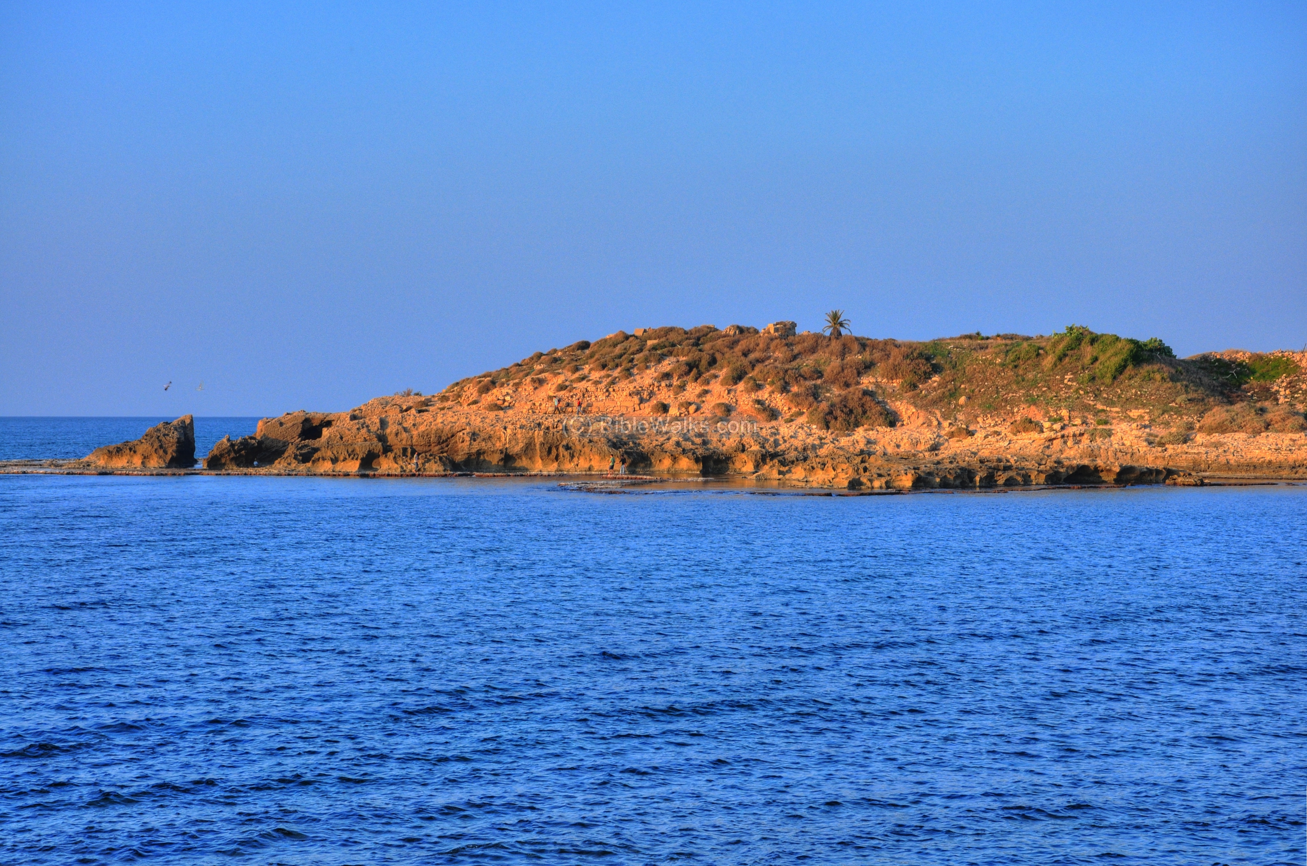
General view:
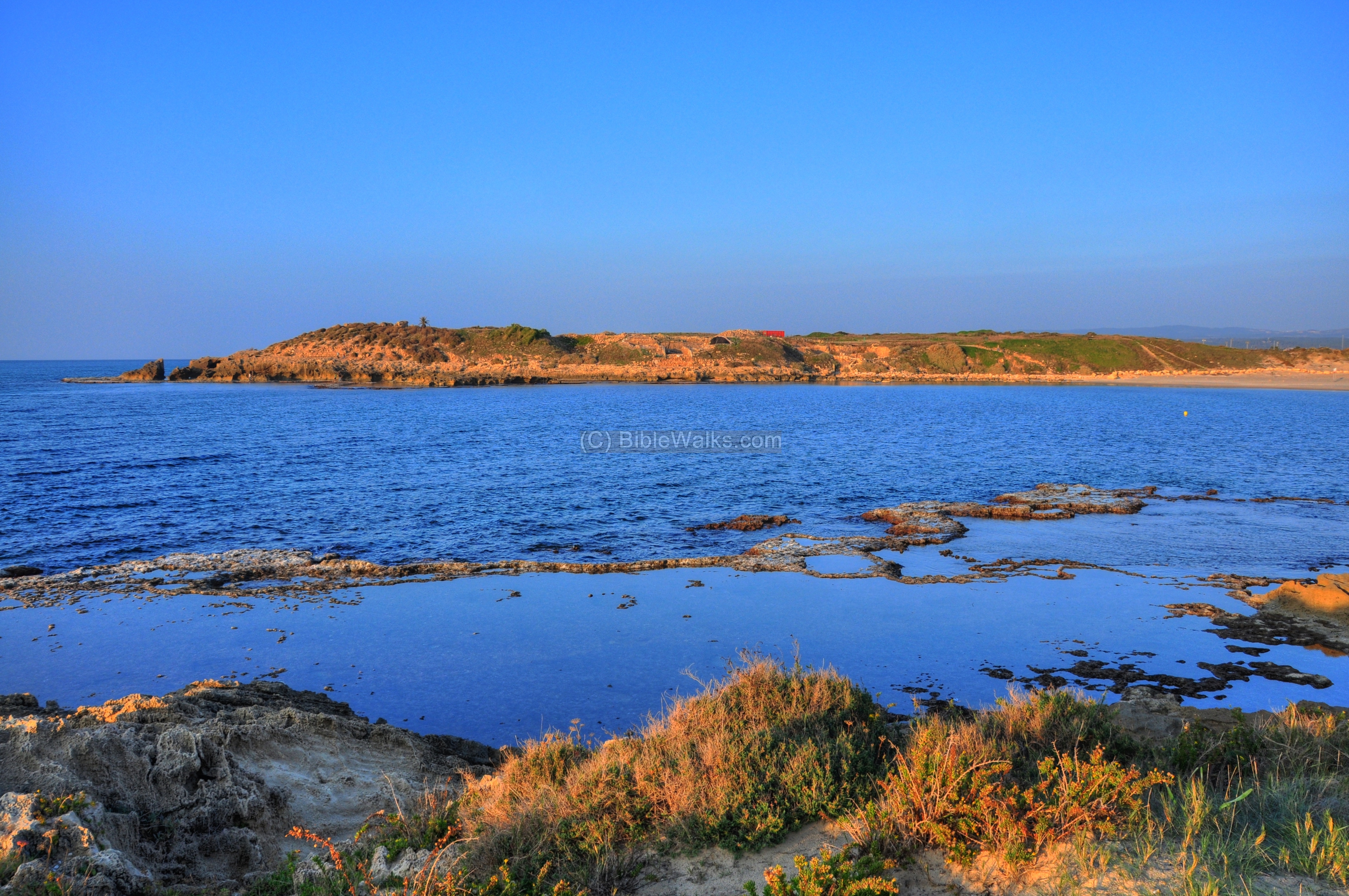
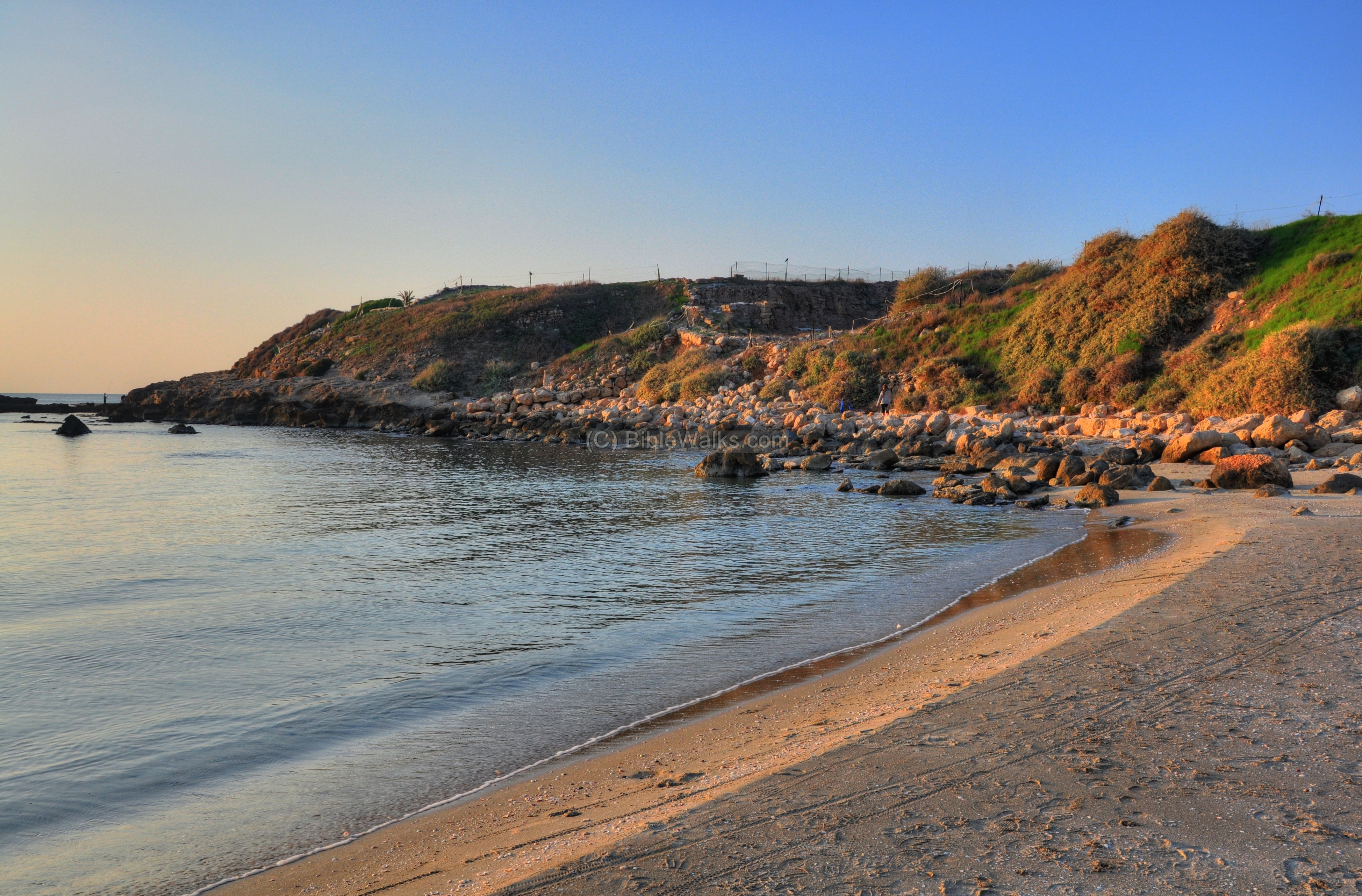
Tel Dor is seen in the photo below, as viewed from across the south bay. This was the city’s southern harbor. The total length from the left (western) edge to the right (eastern) edge is 500m.
Click on the photos to view in higher resolution…
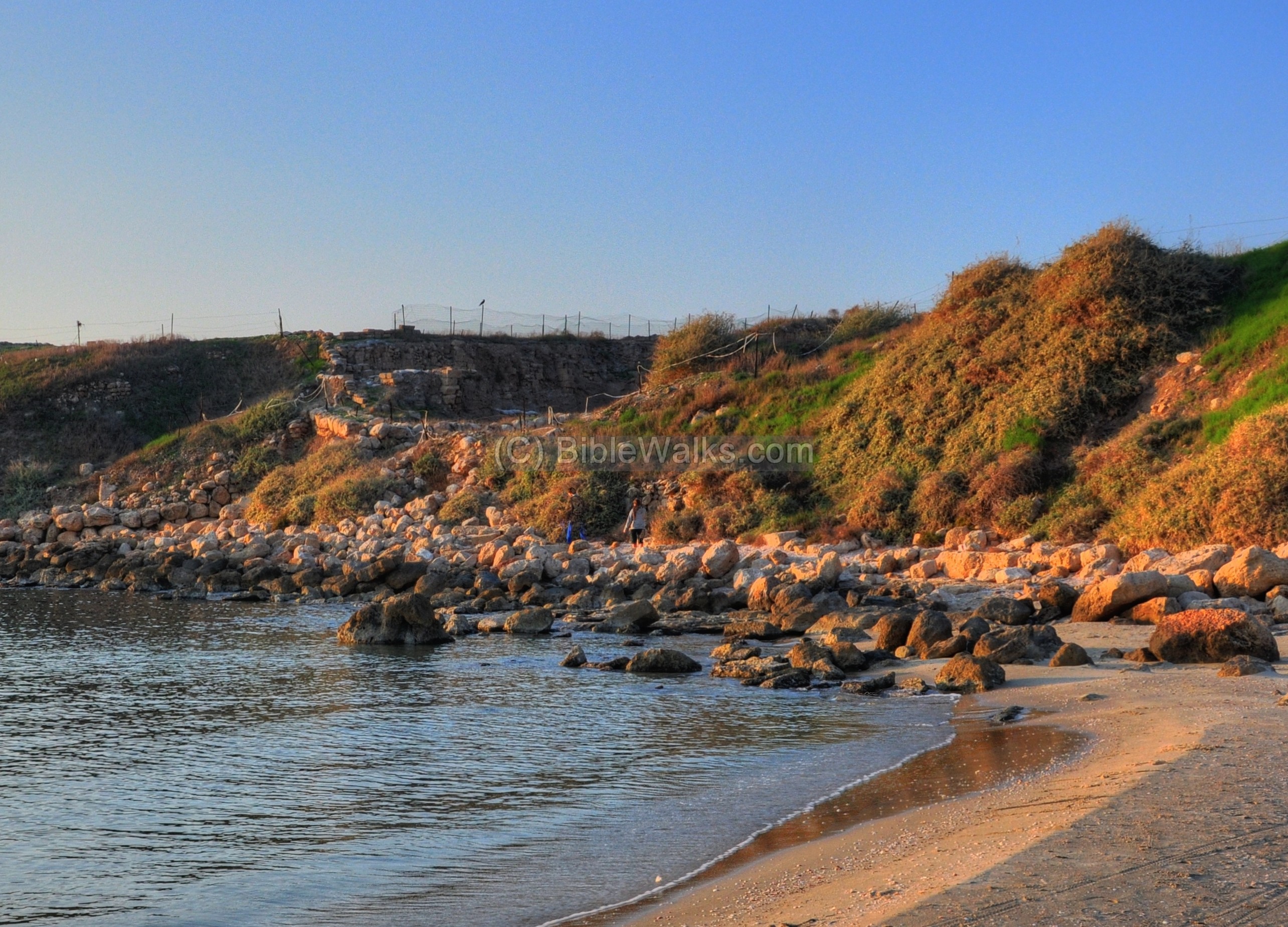
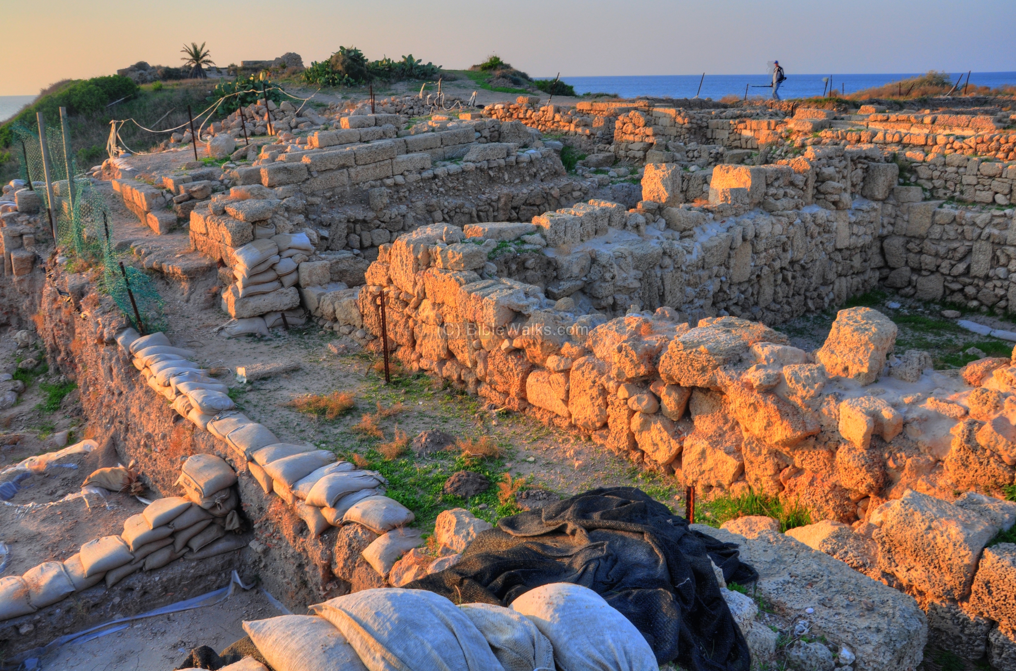
A closer view of the southern side of Tel Dor is seen below. Excavation area “D” is seen in the center of the hill, adjacent to the southern harbor. On the far left side is the higher city – the Acropolis of Dor.
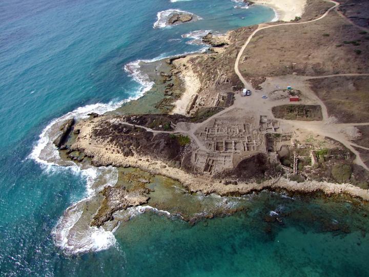
The aerial view below shows the western side of Tel Dor (courtesy of Dr Ayelet Gilboa, Co-Director of the excavations).
In most of the excavation sections in the mound, the excavators “peel” off layer after layer – starting from the modern external layer and working down to the older periods. This process make take several seasons. The photos below show an intermediate phase, which depend of the progress of the excavation. Some of the areas may be in the initial phase of excavation, which are mostly from the Roman period. Deeper layers will belong to earlier periods (Hellenistic, Persian, Iron and Bronze age).
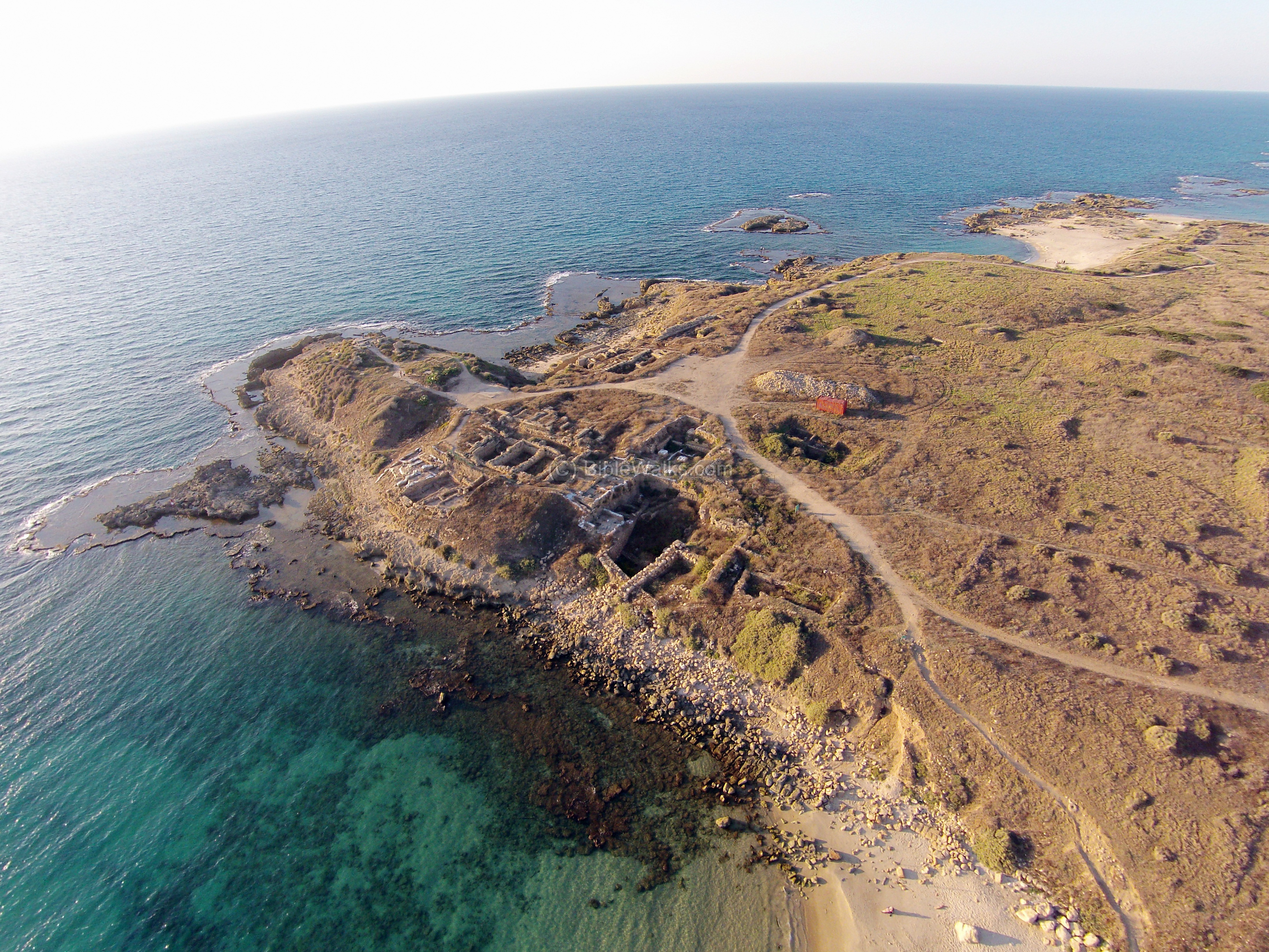
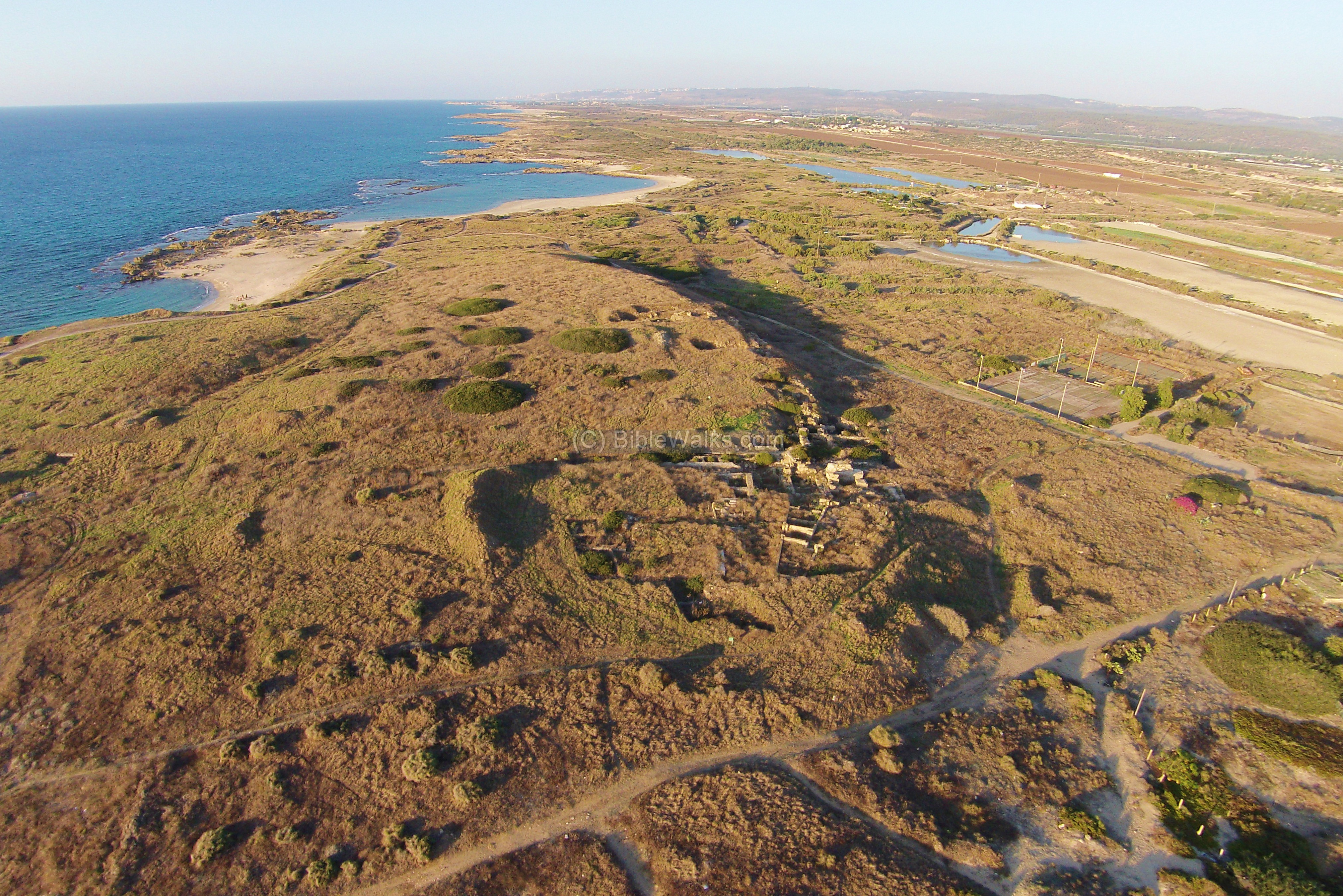
Another aerial view, captured by a quad copter, show a more recent view of the western side of Tel Dor (captured in October 2014).
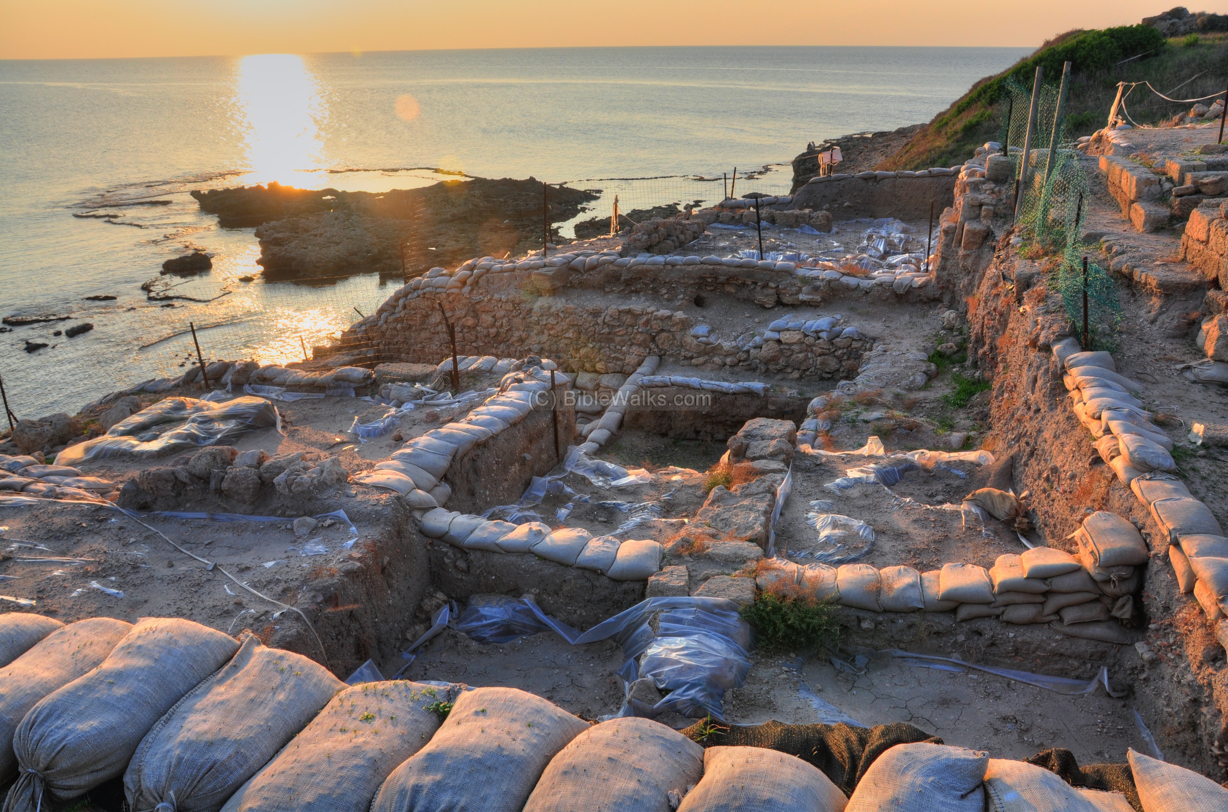
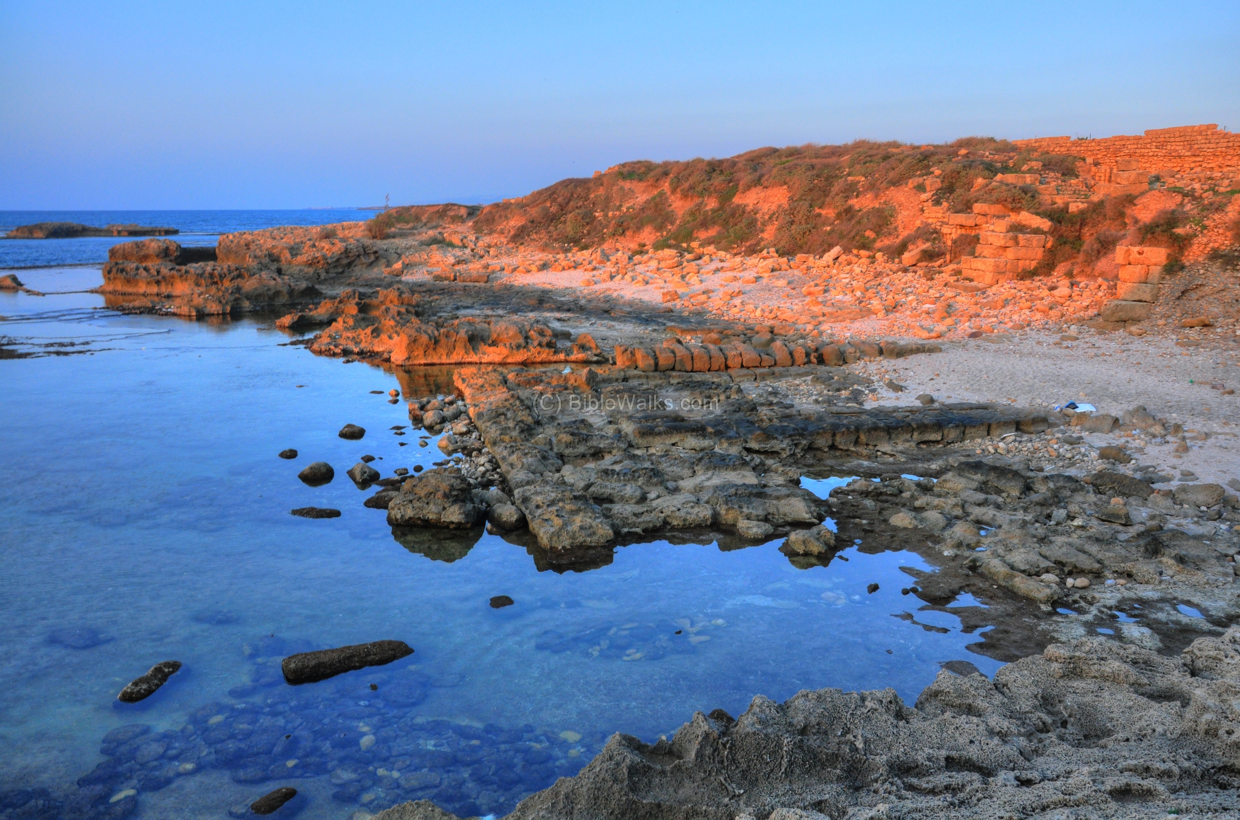
South west: Quays:
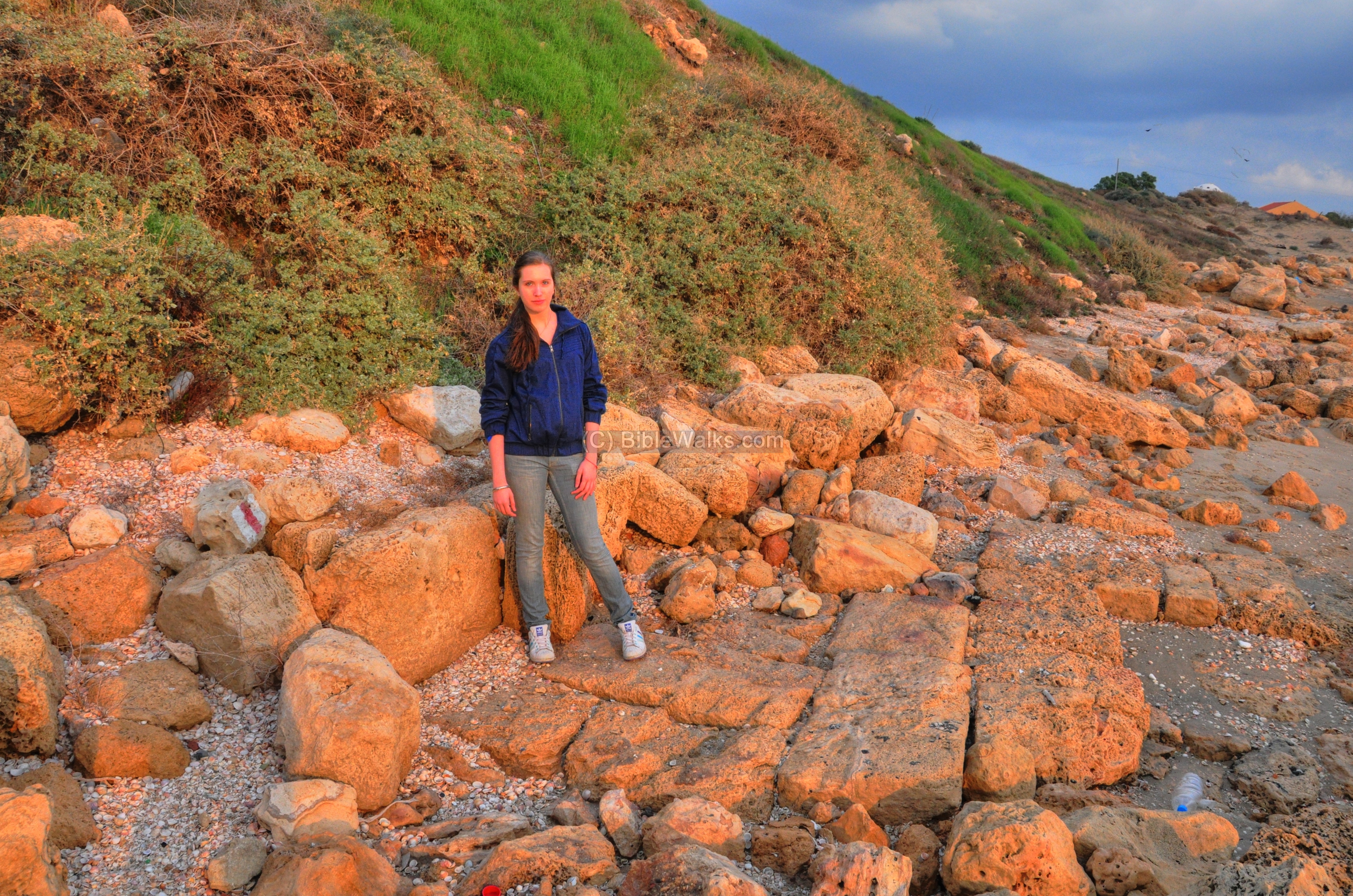
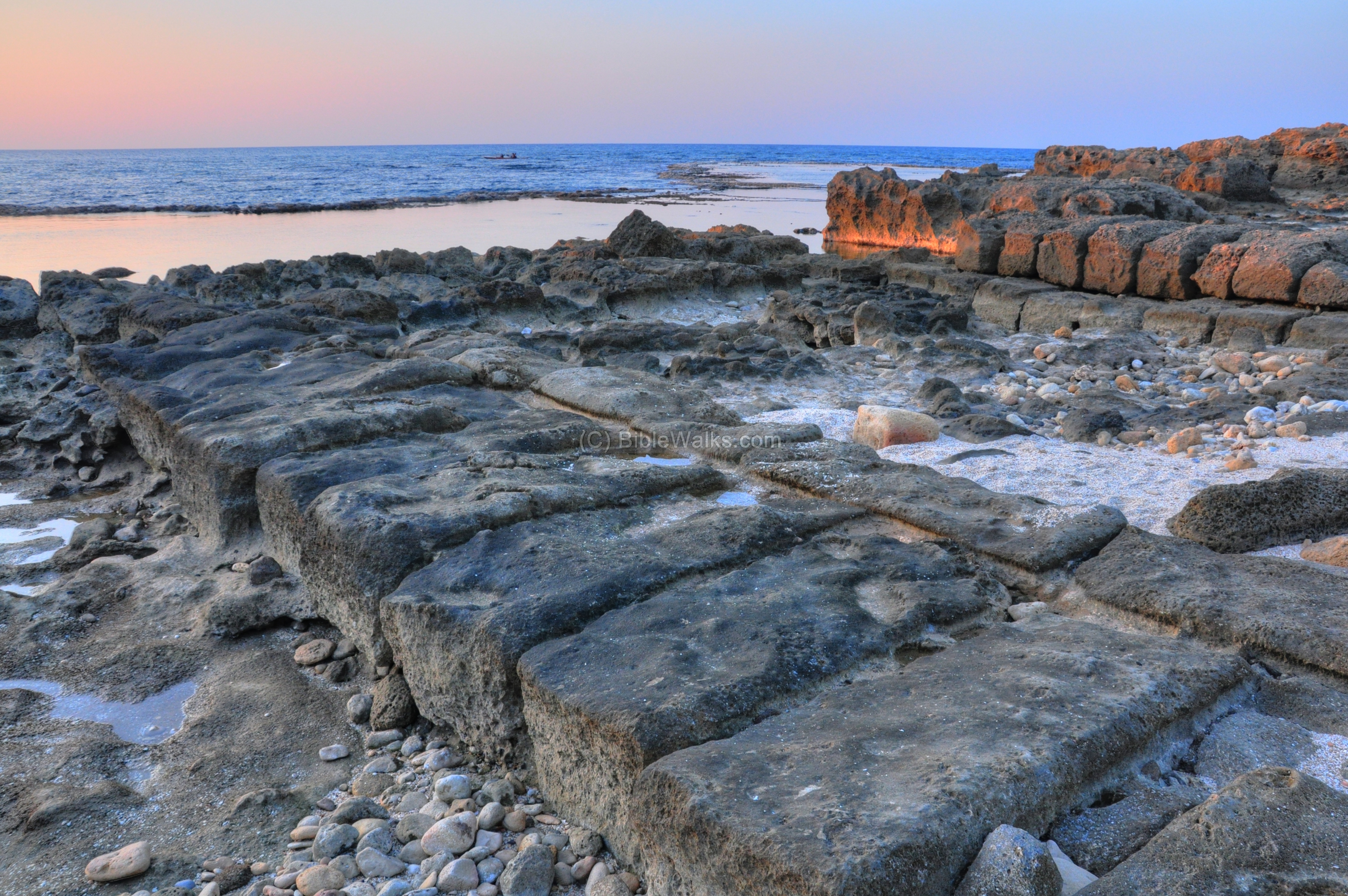
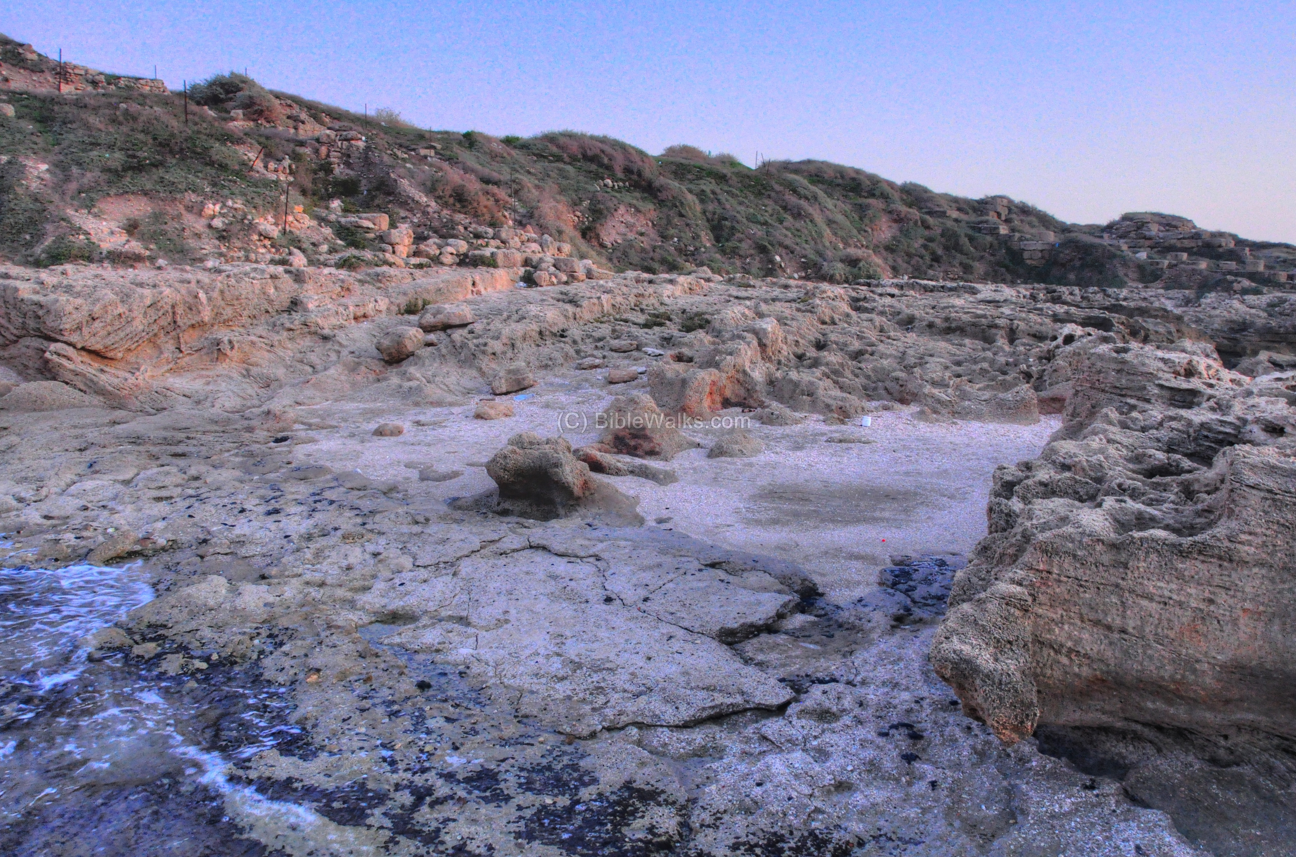
Below area D, sloping into the shallow waters of the southern bay, is a ramp-like structure built of huge ashlars. These are the remains of a harbor quay, or landing stage. It dates either to the the late Bronze Age or beginning of the Iron age.
A closer view of the ancient harbor quay is seen in the photo below. The quay is about 35M along the shore and about 11M wide. Notice also the steep climb up to the mound.
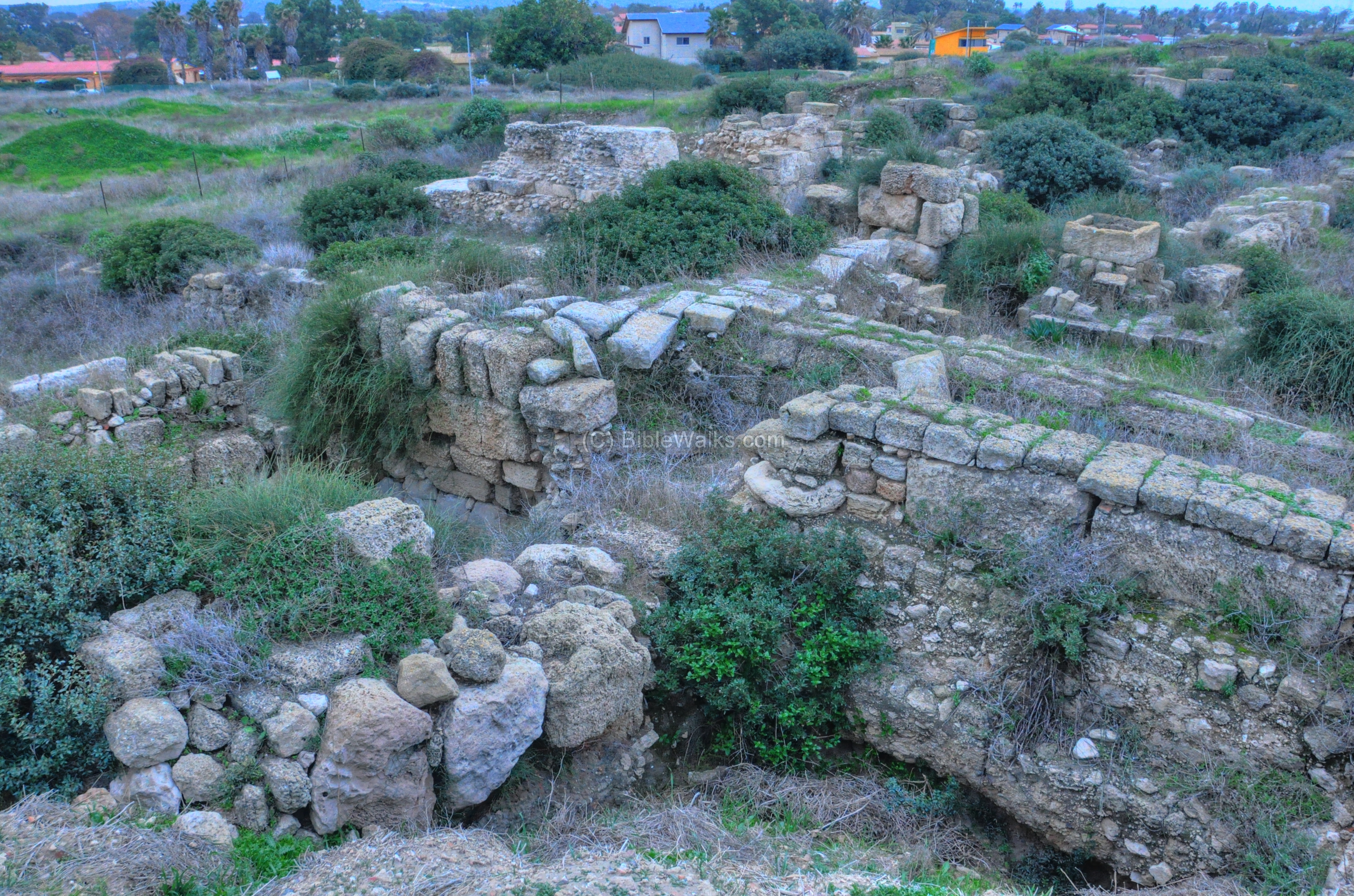
South-West: Area D:
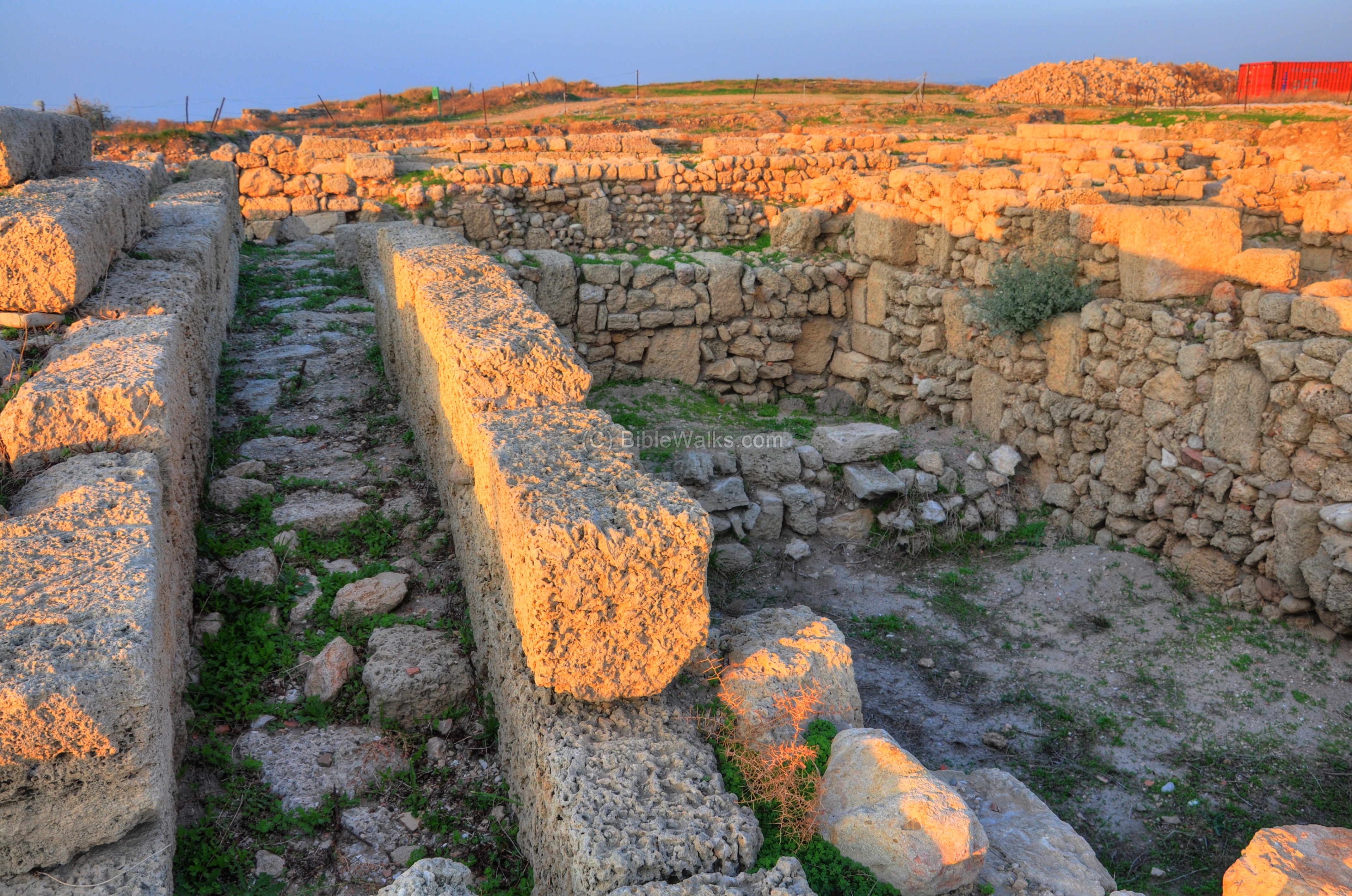
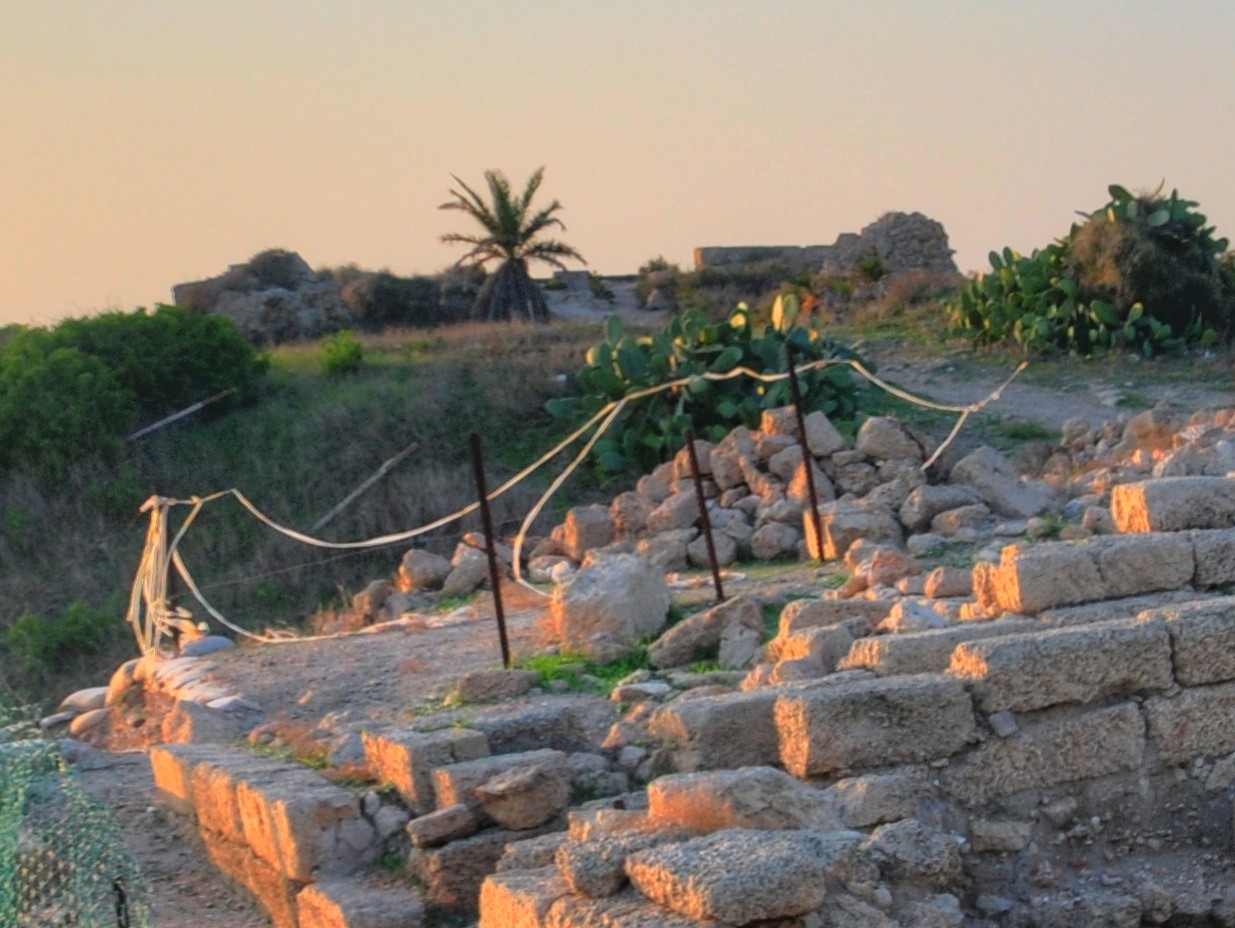
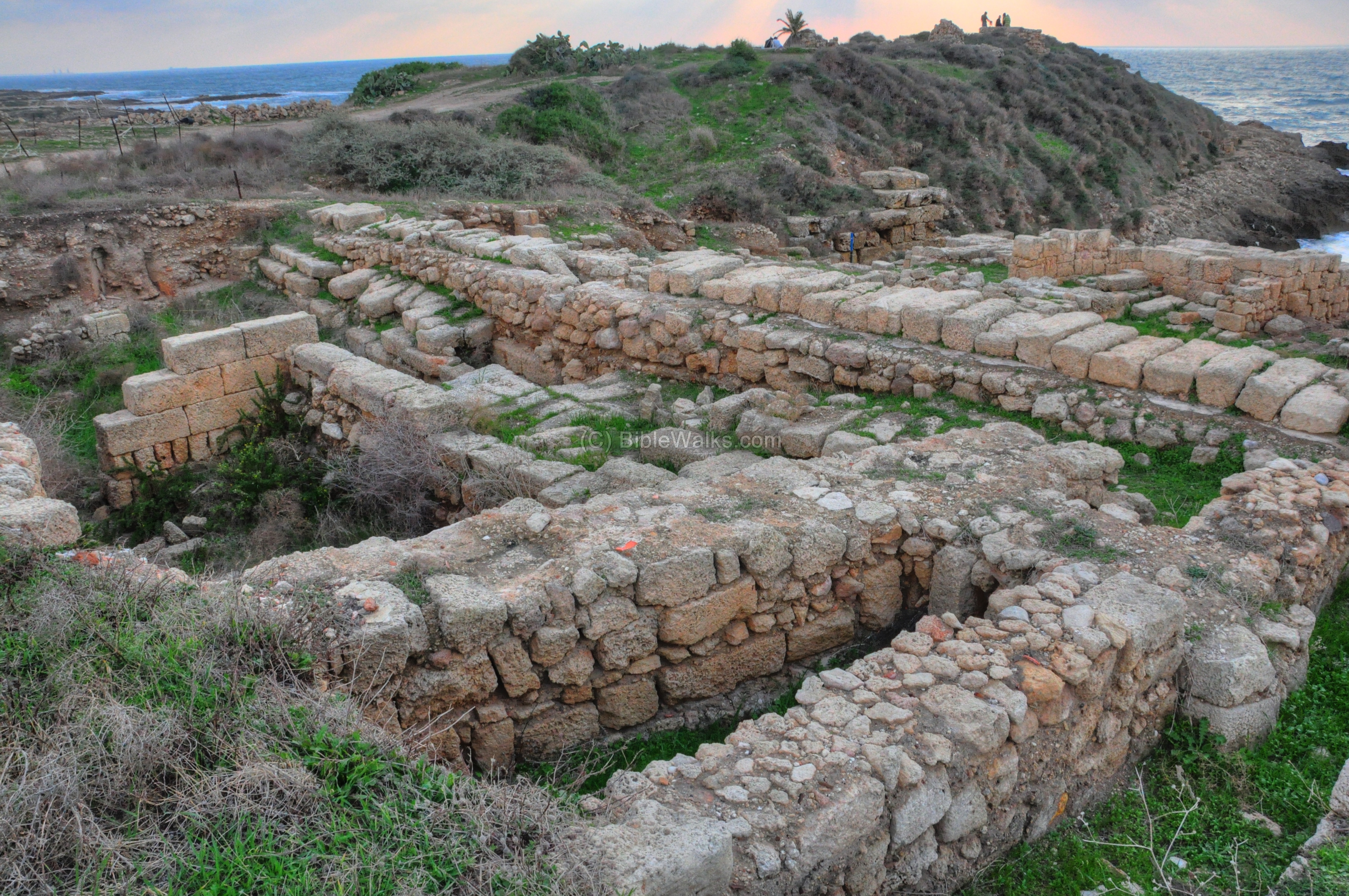
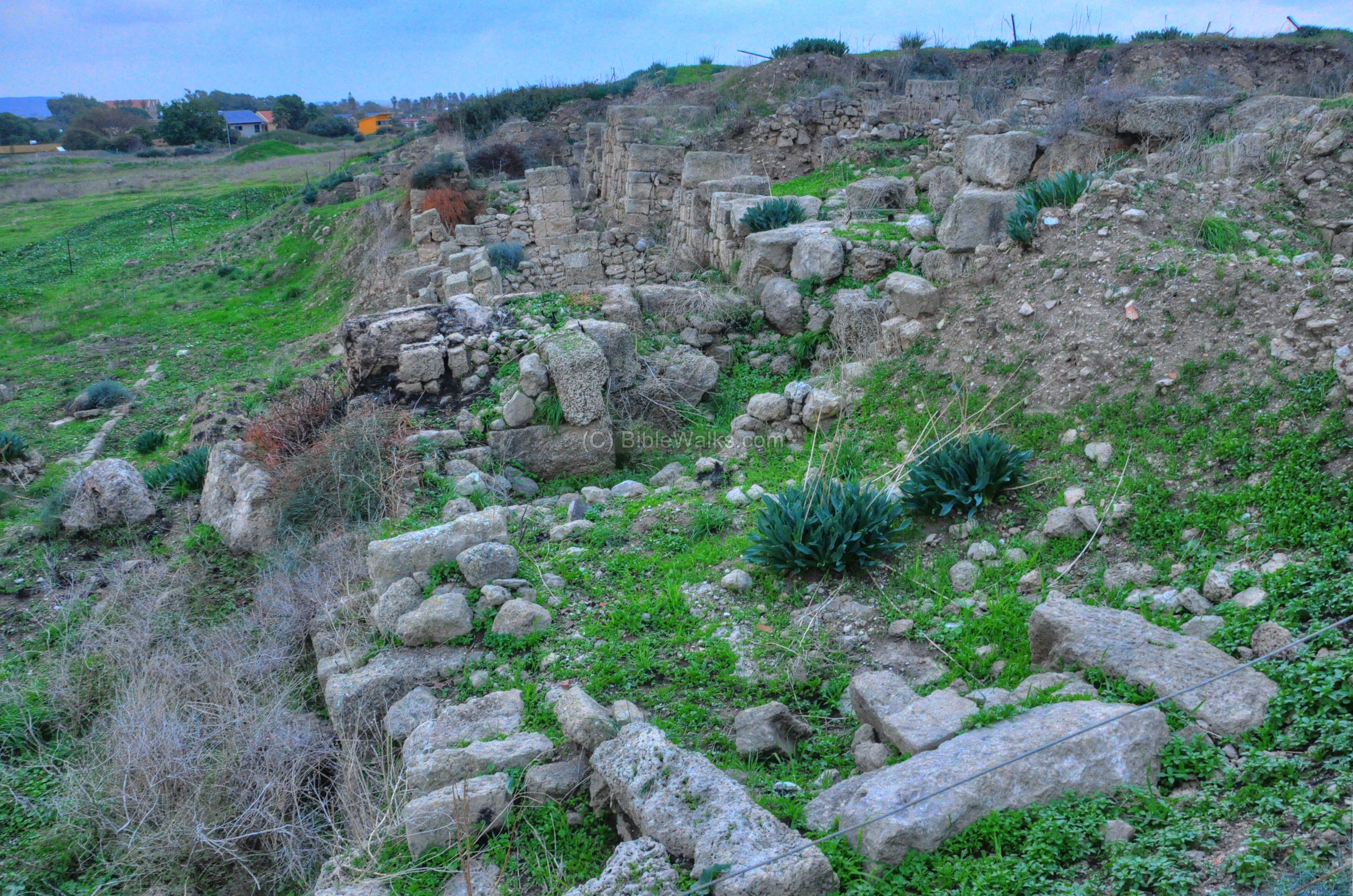
Area “D”, on the south side of the Tel, has several excavation sections (numbered D1-D4). Most of the structures in this area are harbor storerooms or other public houses.
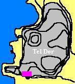
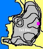
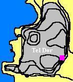
The map shows the location of this excavation area, marked by a purple rectangle.
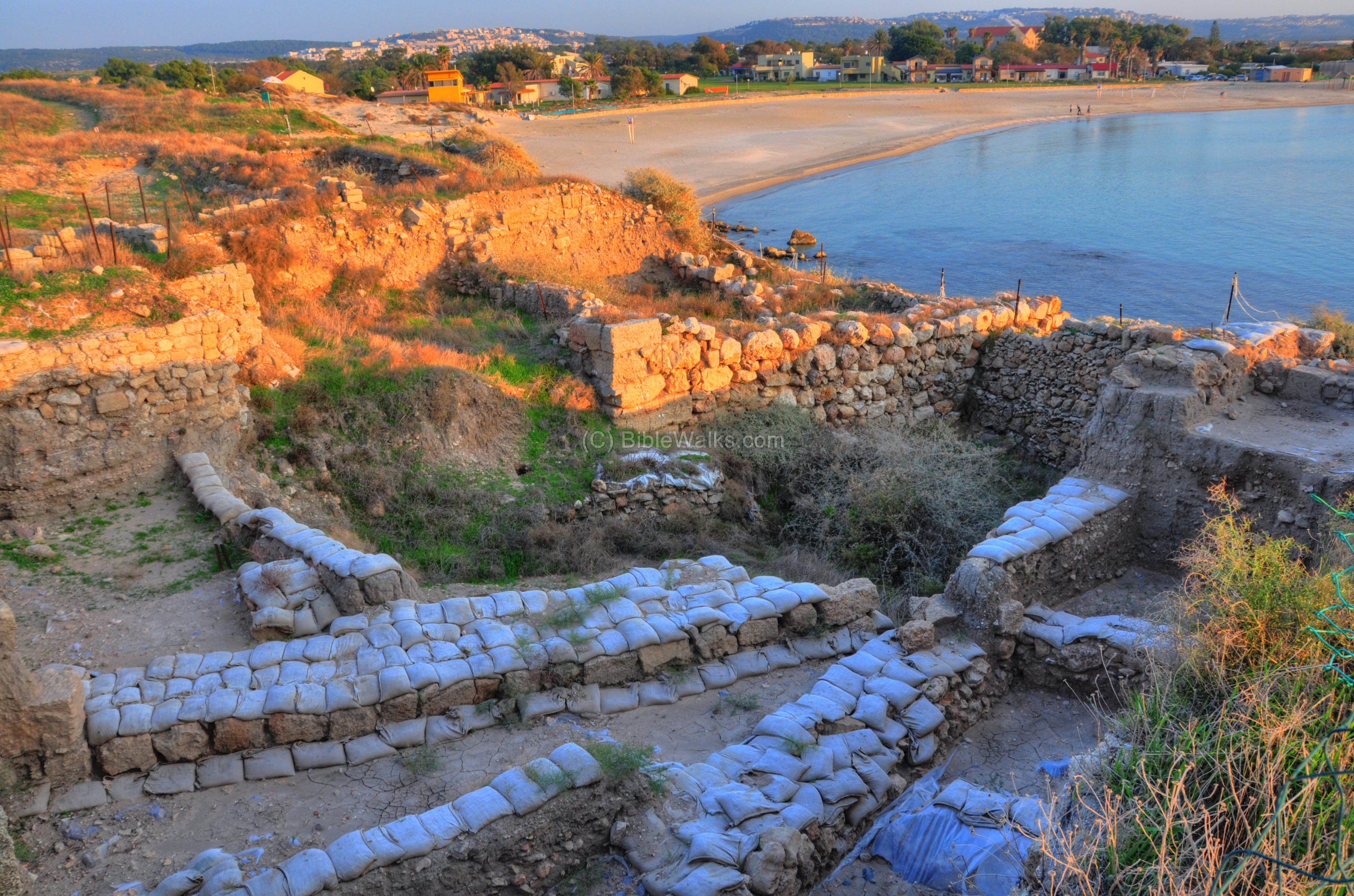
Area “D2” is located above the southern bay. Remains from the Roman, Hellenistic and Iron age periods have been excavated and reconstructed. The photo below shows a view from this section, looking south to the bay. In the background are the houses of the Kibbutz Nachsholim, and further on are the western foothills of Mt Carmel.
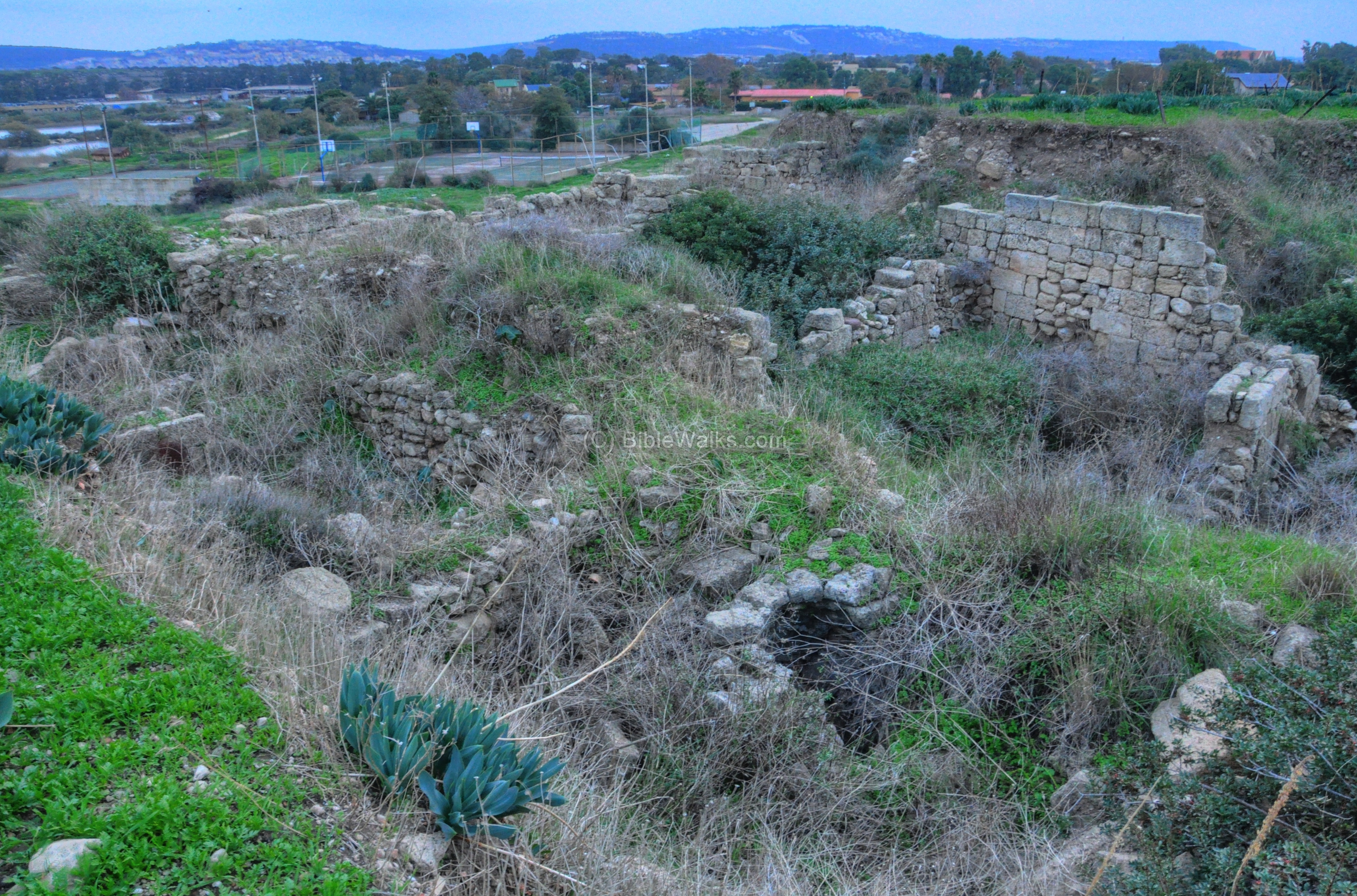
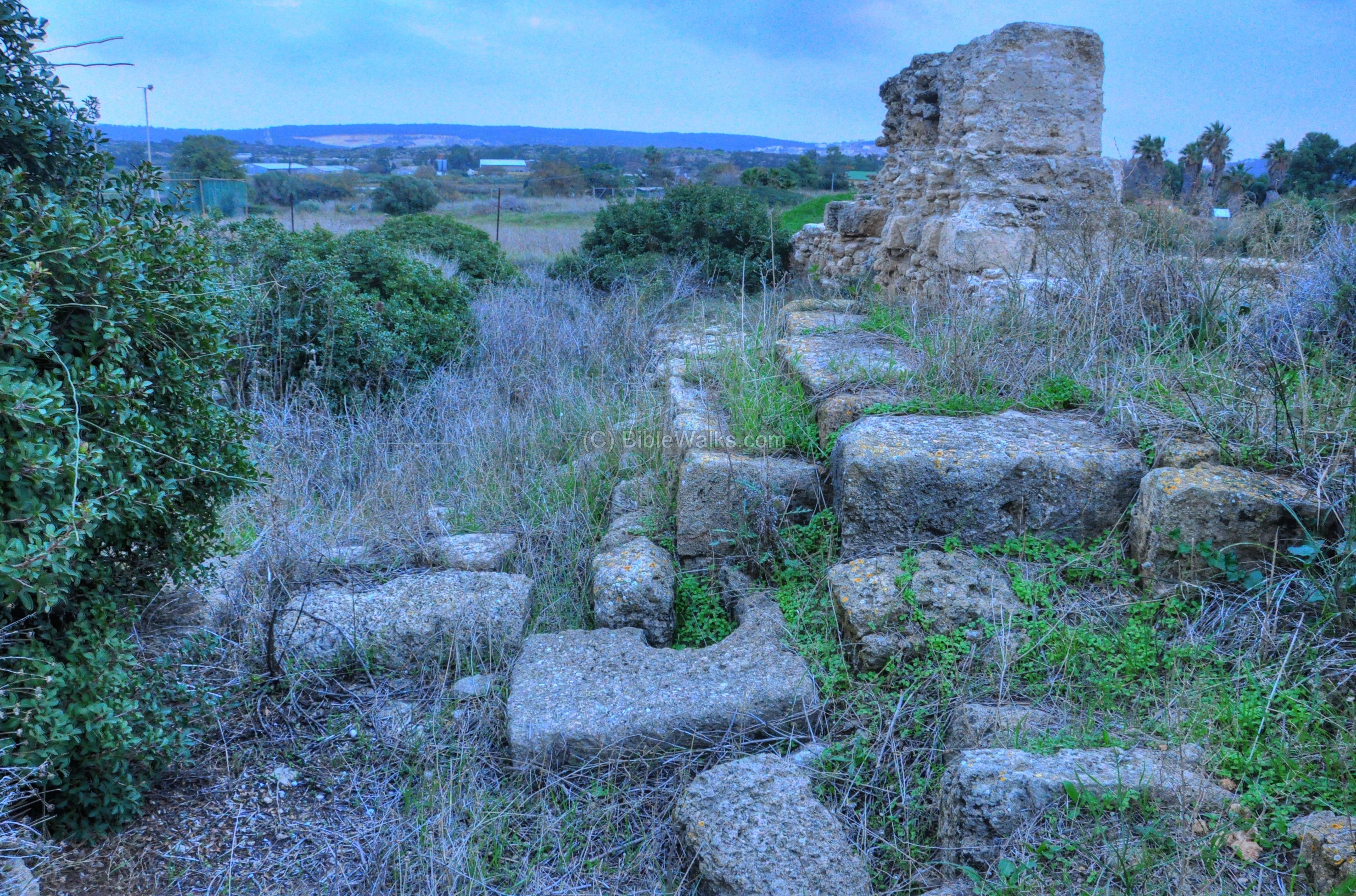
Area “D1”, seen below, is located on the south-western corner of Tel Dor. Its remains are mostly of Roman, Hellenistic and Persian periods.
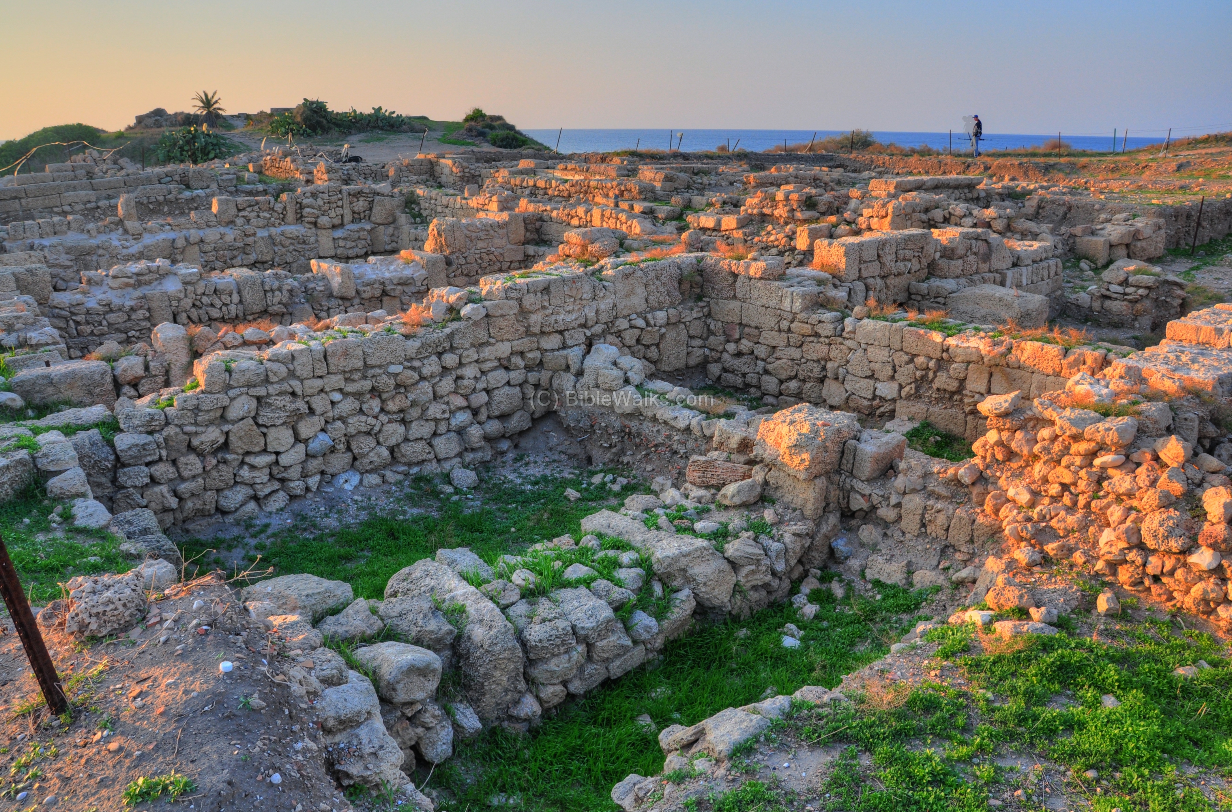
An upper section of D1 is seen below.
Area “D5” is located on the south-western extension of area “D1”, on the southern slopes of the mound. A Roman road once connected the structures between D1-D2, passing above the shore in a east-west orientation. However, the sea cut away the southern wall – toppling most of the southern part of the road, and damaging the houses along the road.
The photo below shows the southern side of D1, just above the D5 section. In the background is the acropolis – the high city.
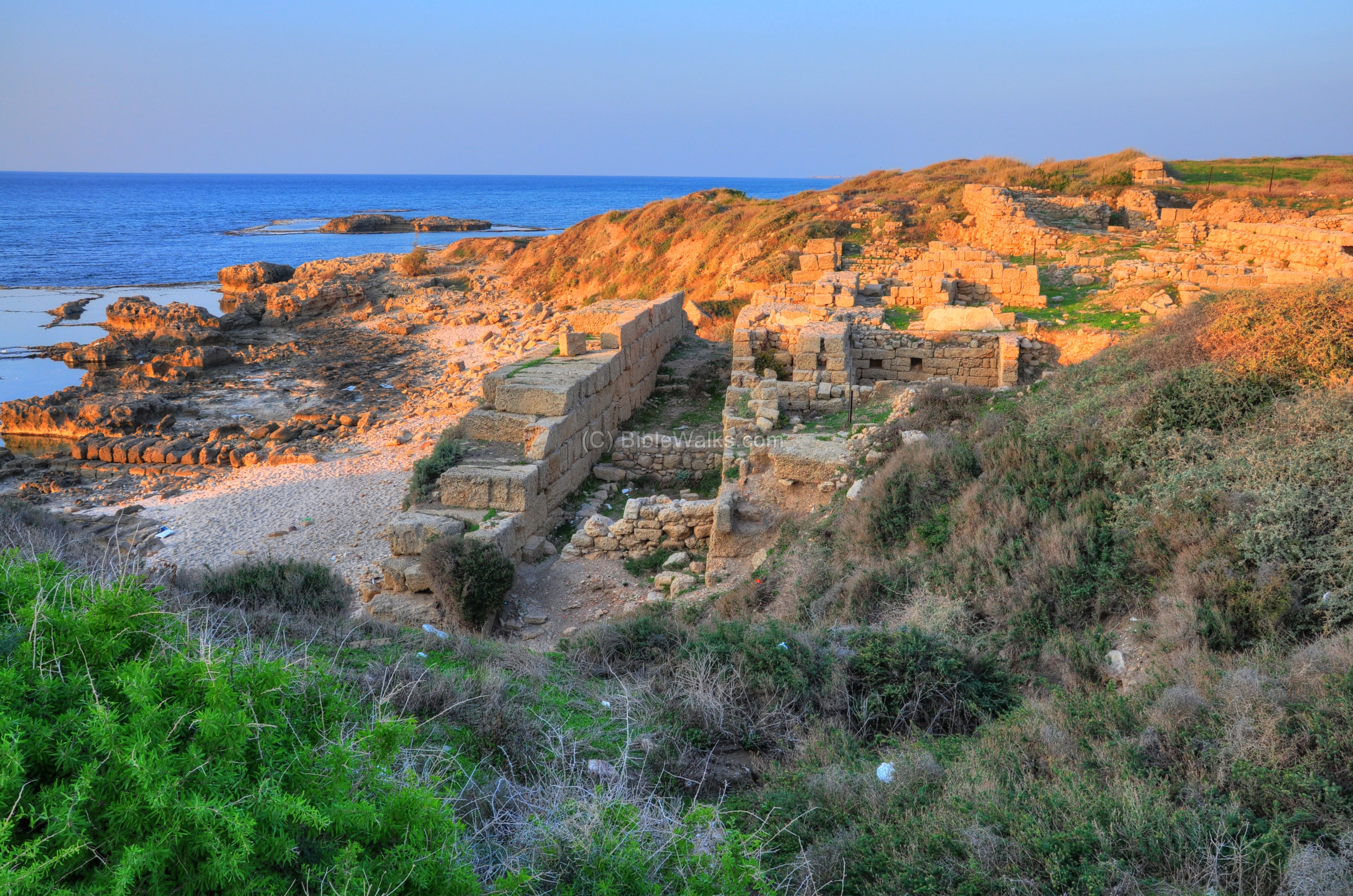
South-West: Acropolis:
The highest and western side of Tel Dor is the Acropolis – the “high city”. Around the hill are interesting sights of the remains from the Crusader fortress, and also remarkable scenes of the area and the interaction between the sea and the sandstone formations.
The map shows the location of the acropolis, marked by a purple square.
A view of the southern side of the acropolis is seen below across the bay which served in the ancient times as the southern harbor.
A view of the acropolis is seen below – behind the excavations of area D. The higher hill was separated from area D by an artificial moat, which was cut away into the bed rock at a later stage (Crusaders period, 12th C).
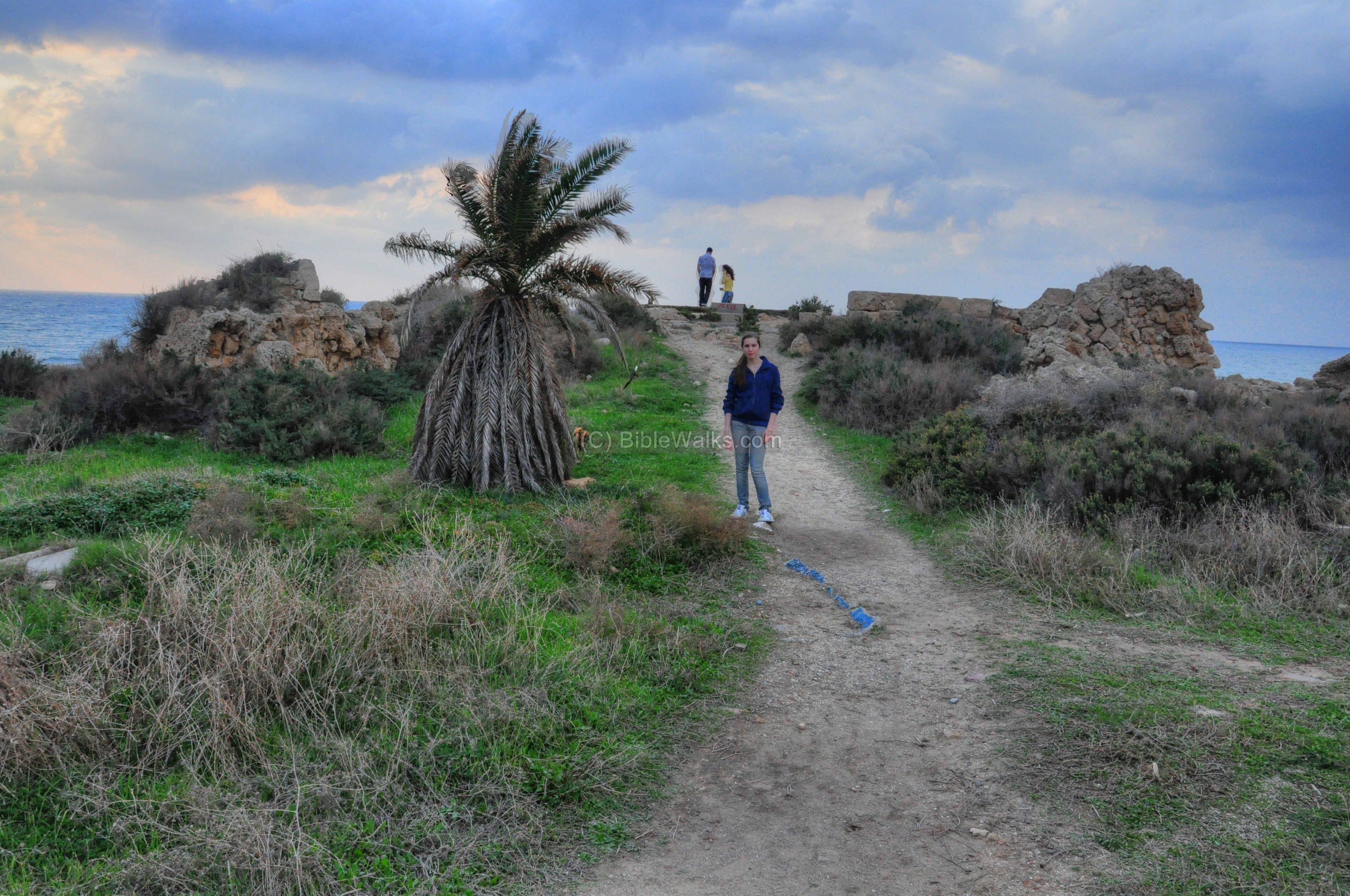
A closer view of the top of the hill is seen in the photo below. Amit, Webmaster Rotem’s sister, is standing near the palm tree.
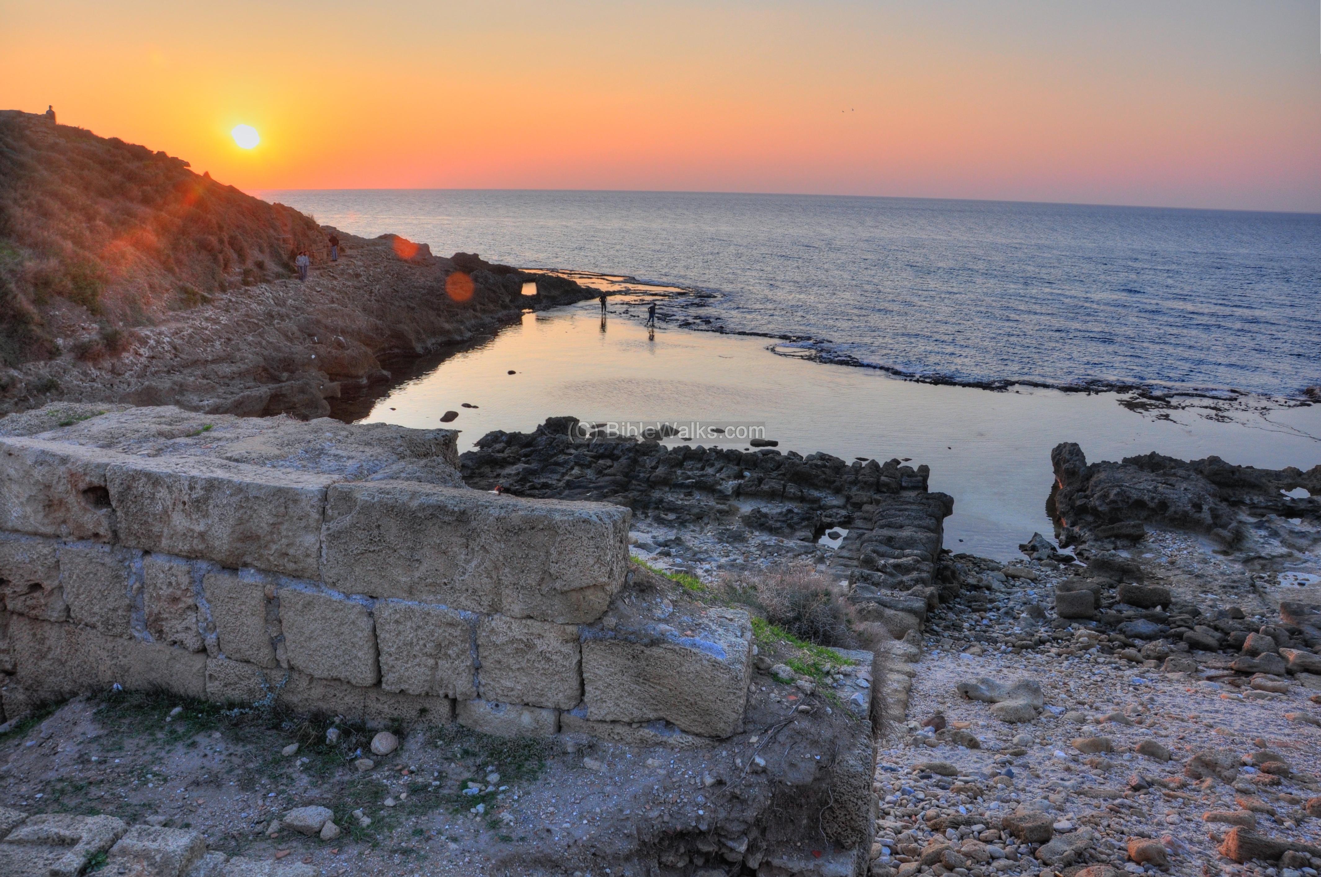
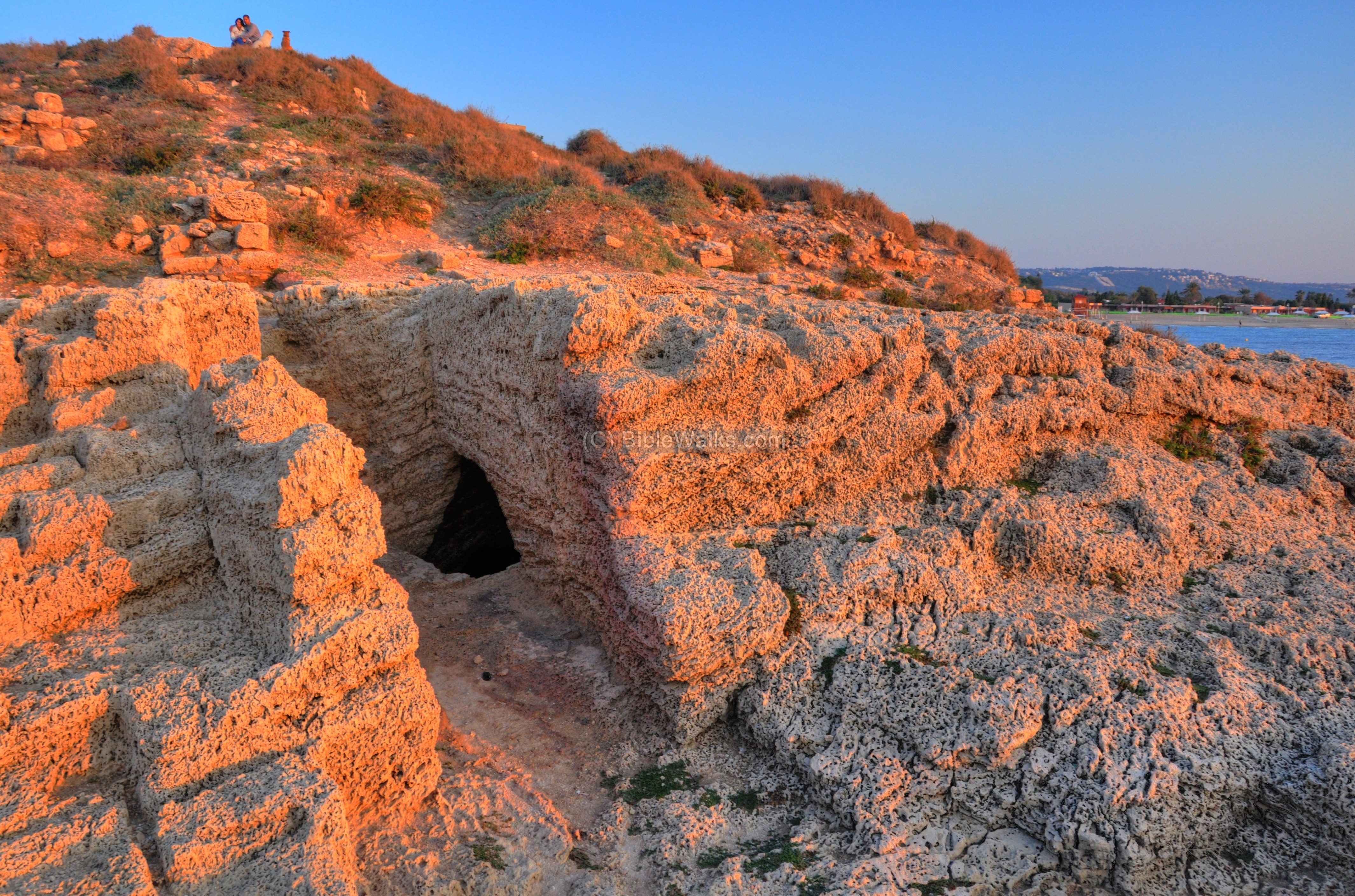
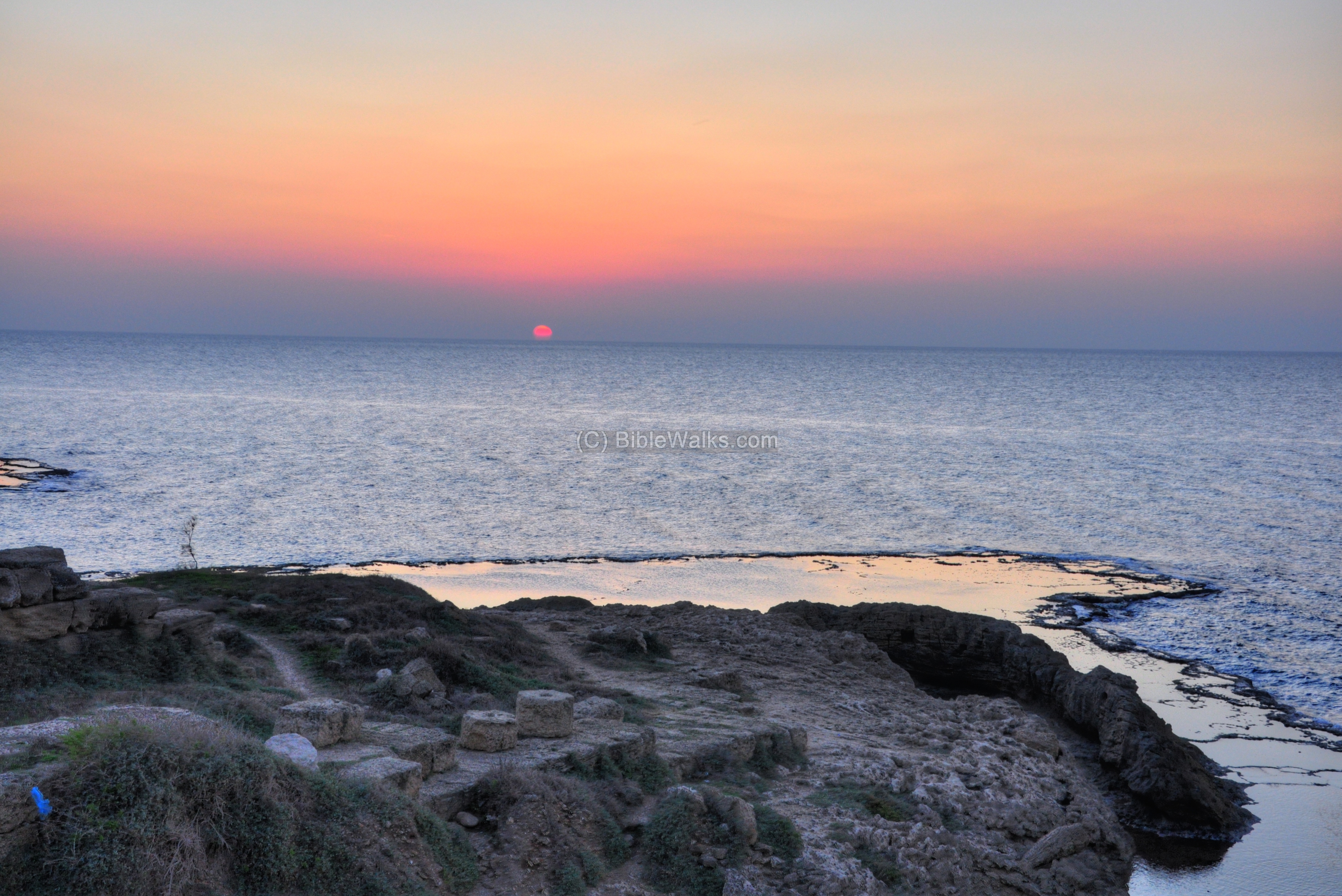
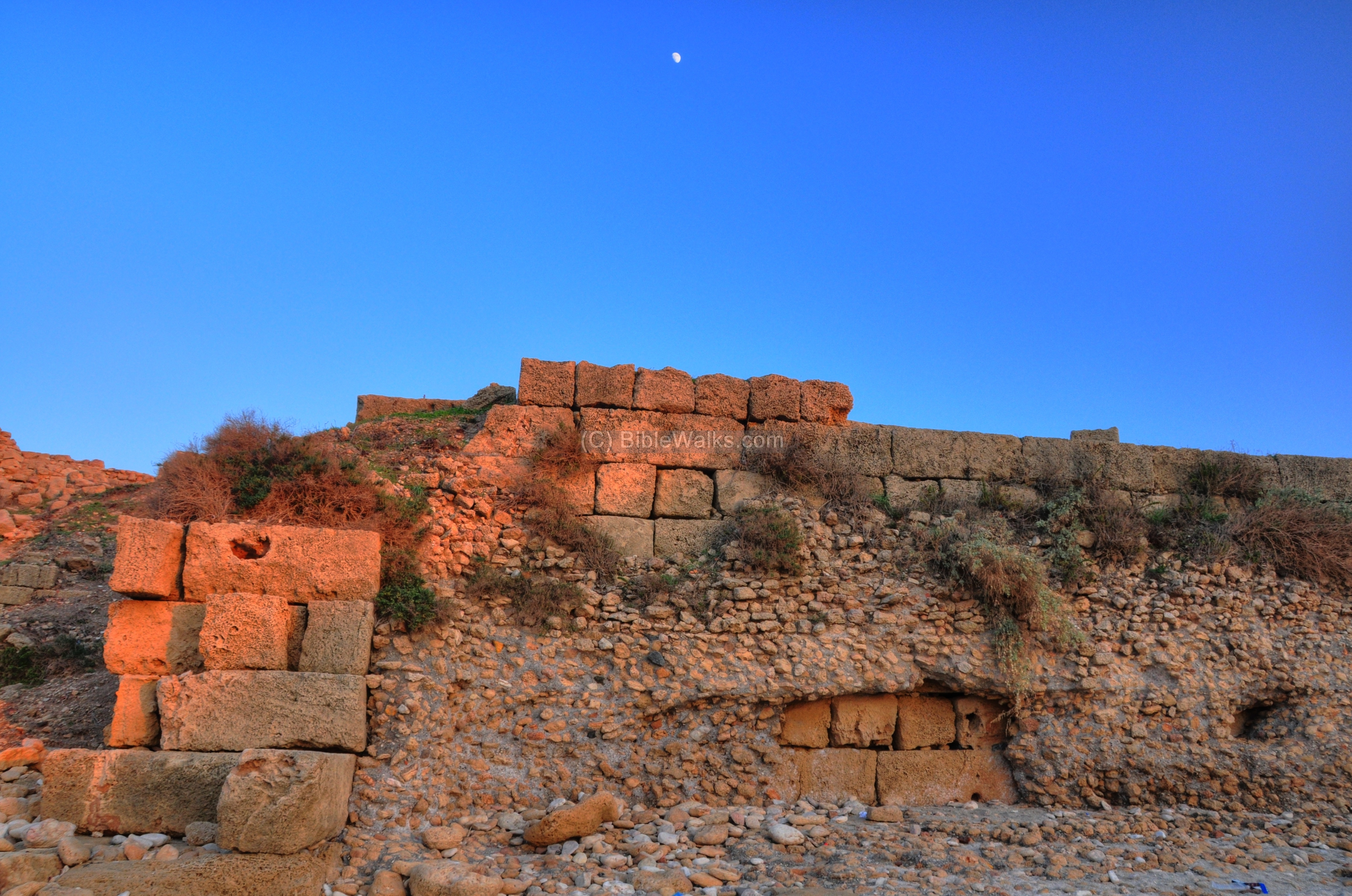
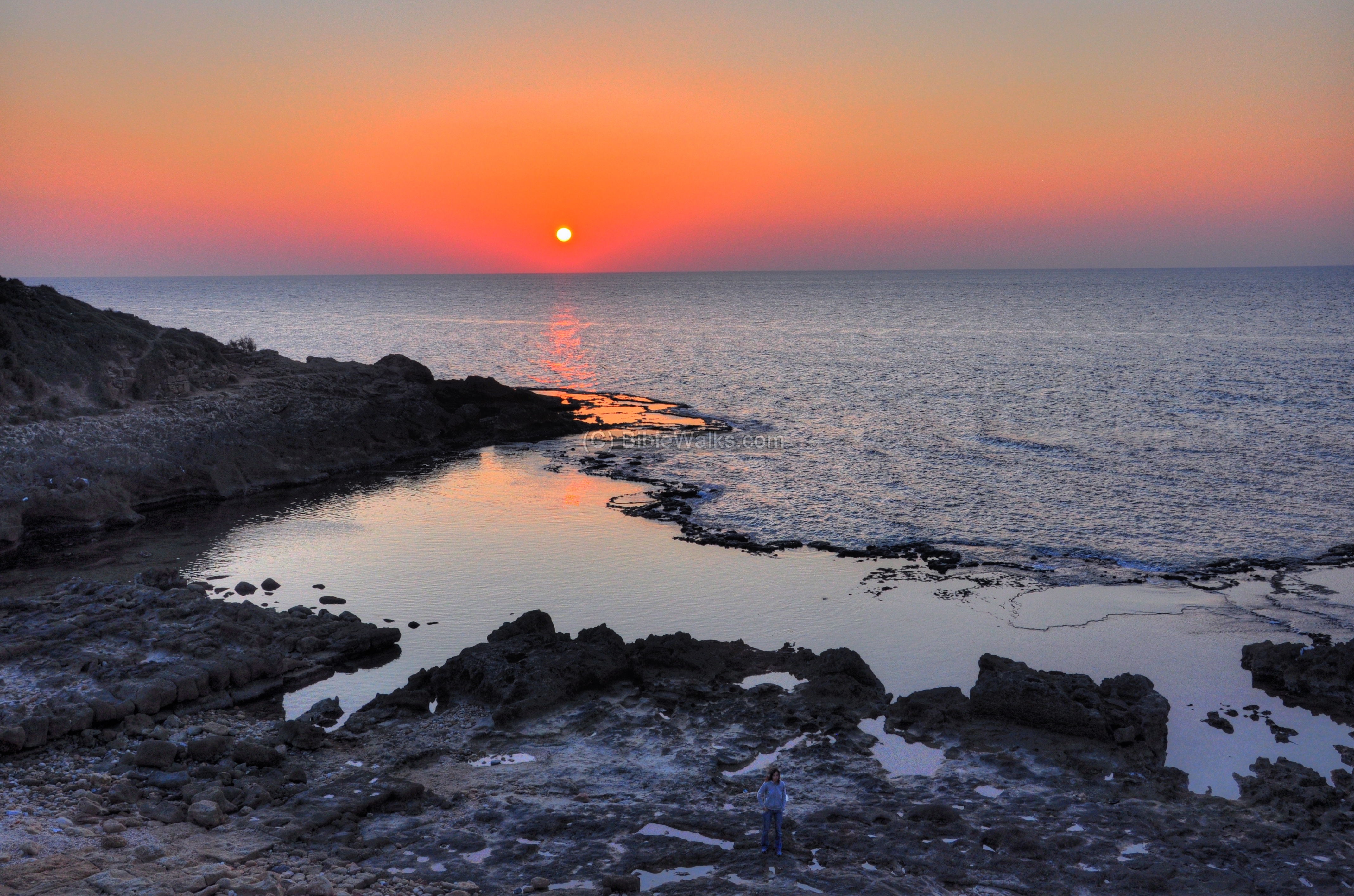
The “acropolis” is also seen below from the western slopes. Looking up to the top of the hill, a couple and their dog are sitting on top of the platform and gazing at the sunset.
On the lower side of the photo are rock cuttings. This is part of the Crusader’s fortress of Merle, constructed by the French noble family De-Merle. The Crusaders removed all Roman structures from the area of the hill and the nearby area D, and rebuilt a fortress using the Roman pillars and rocks.
In 1187 the fortress was acquired by the Crusader Templars, who held it until their retreat in 1264.
The fortress was destroyed in 1264 by the Mamlukes, as part of their global defense tactic – destruction of all marine ports (such as nearby ports of Atlit and Caesarea) in order to prevent another Crusaders wave from Europe. The fortress was rebuilt by the Ottomans in the 18th C, and a part of its wall survived until the beginning of the 20th C.
Another section of the western foothills of the acropolis is seen below.
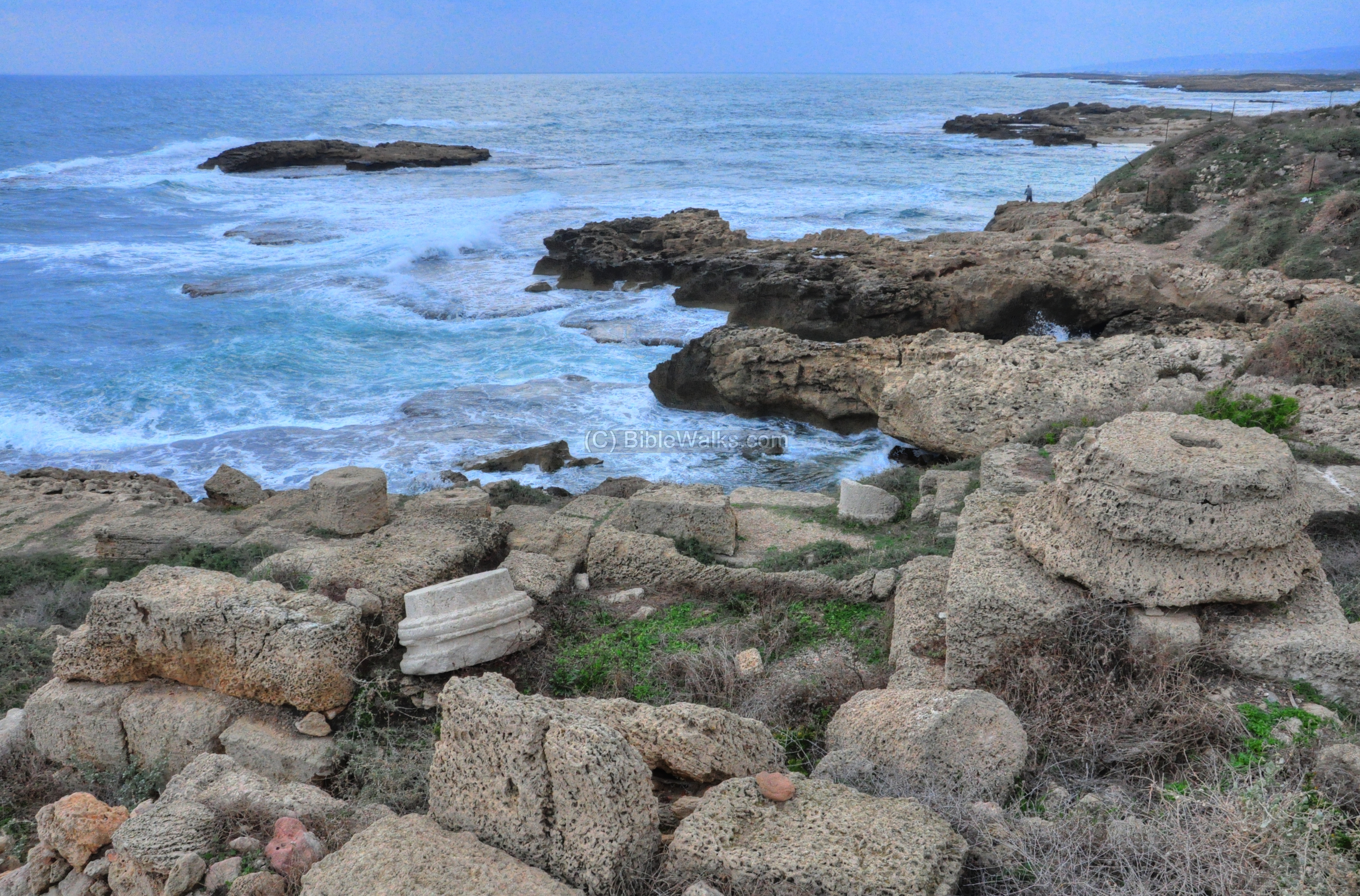
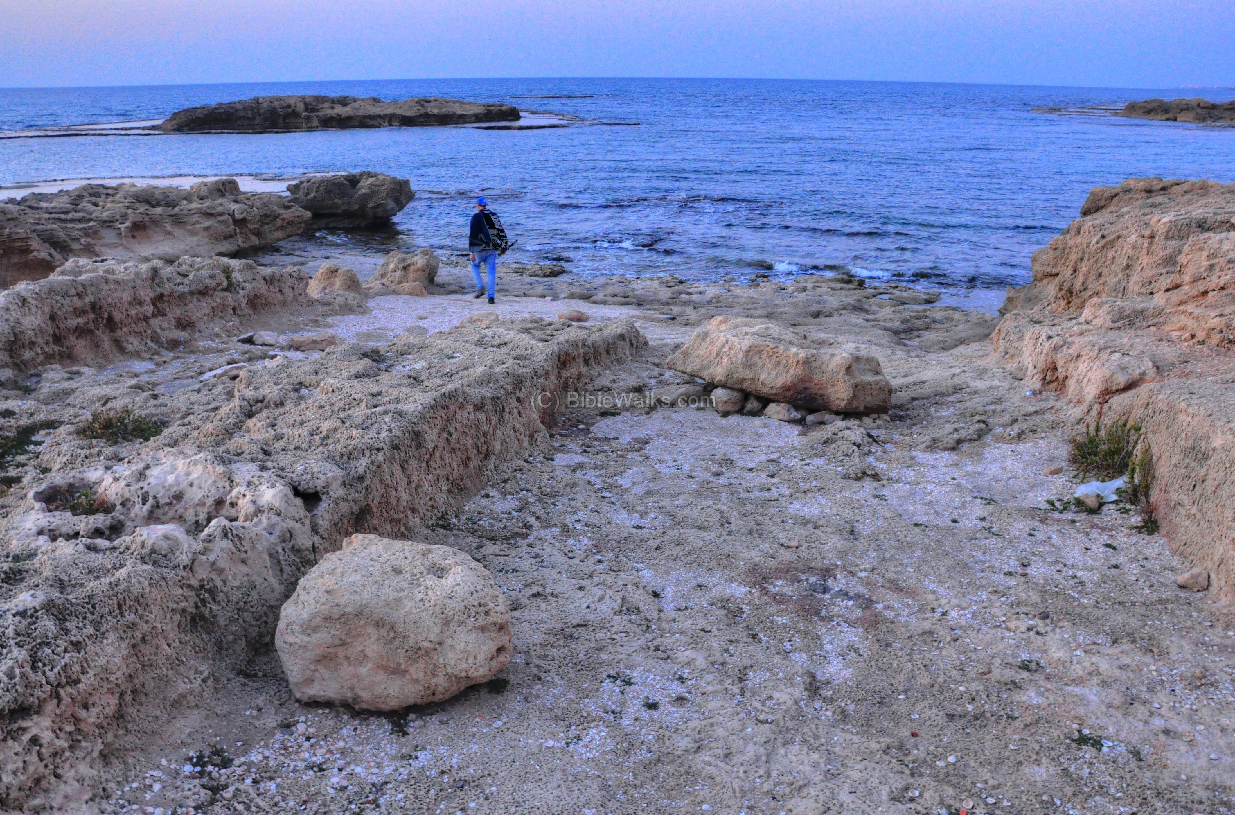
South-West corner:
The south-western corner of the sandstone ridge has interesting rock-cutting. The photo below shows a view towards the southern harbor.
North side of South-West corner:
The north side of the south-west corner has remarkable sandstone rock cuttings.
Another view is seen below.
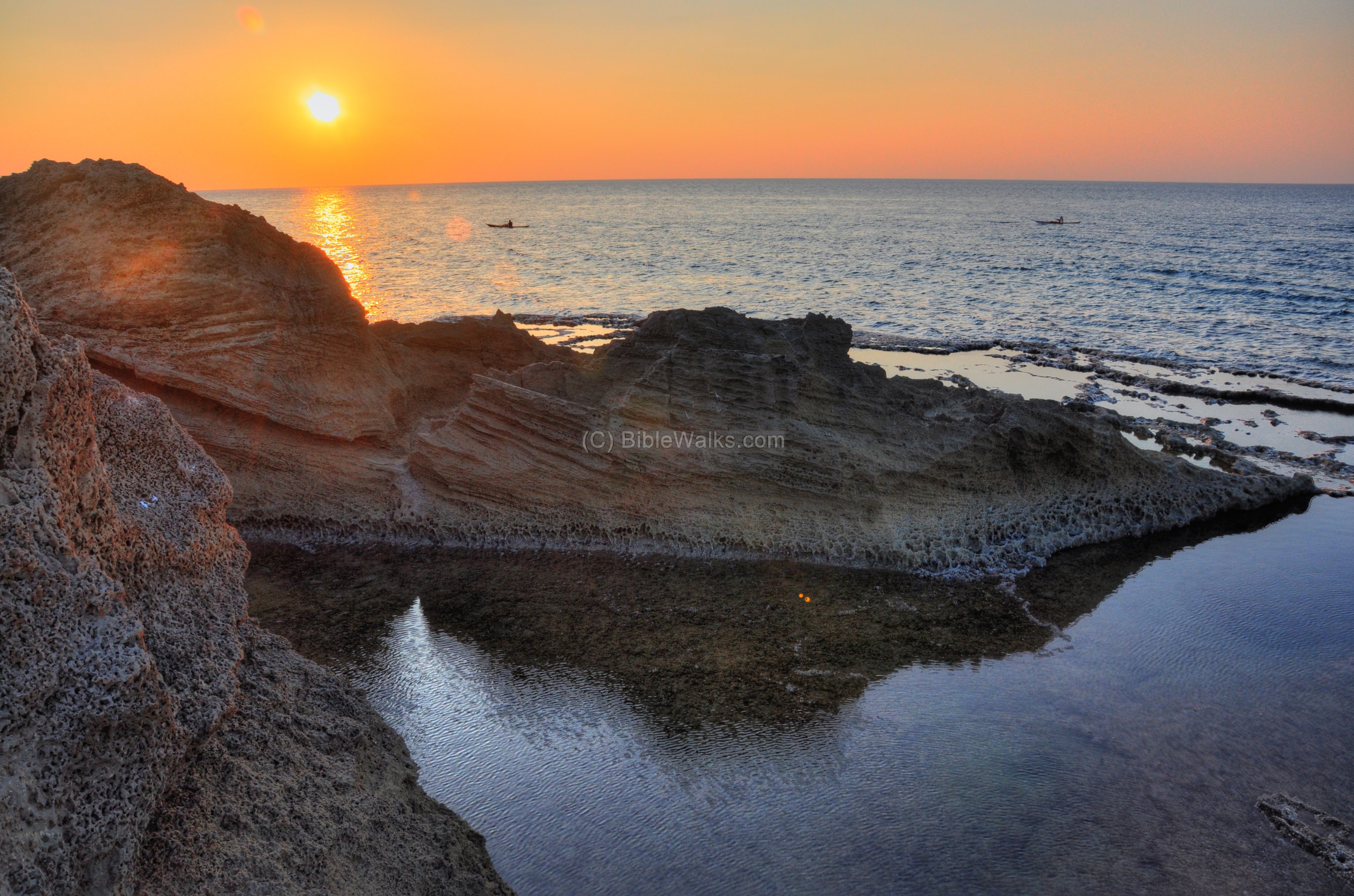
A sunset view of this side is seen below, with a group of canoes which were part of a race.
South side of South-West corner:
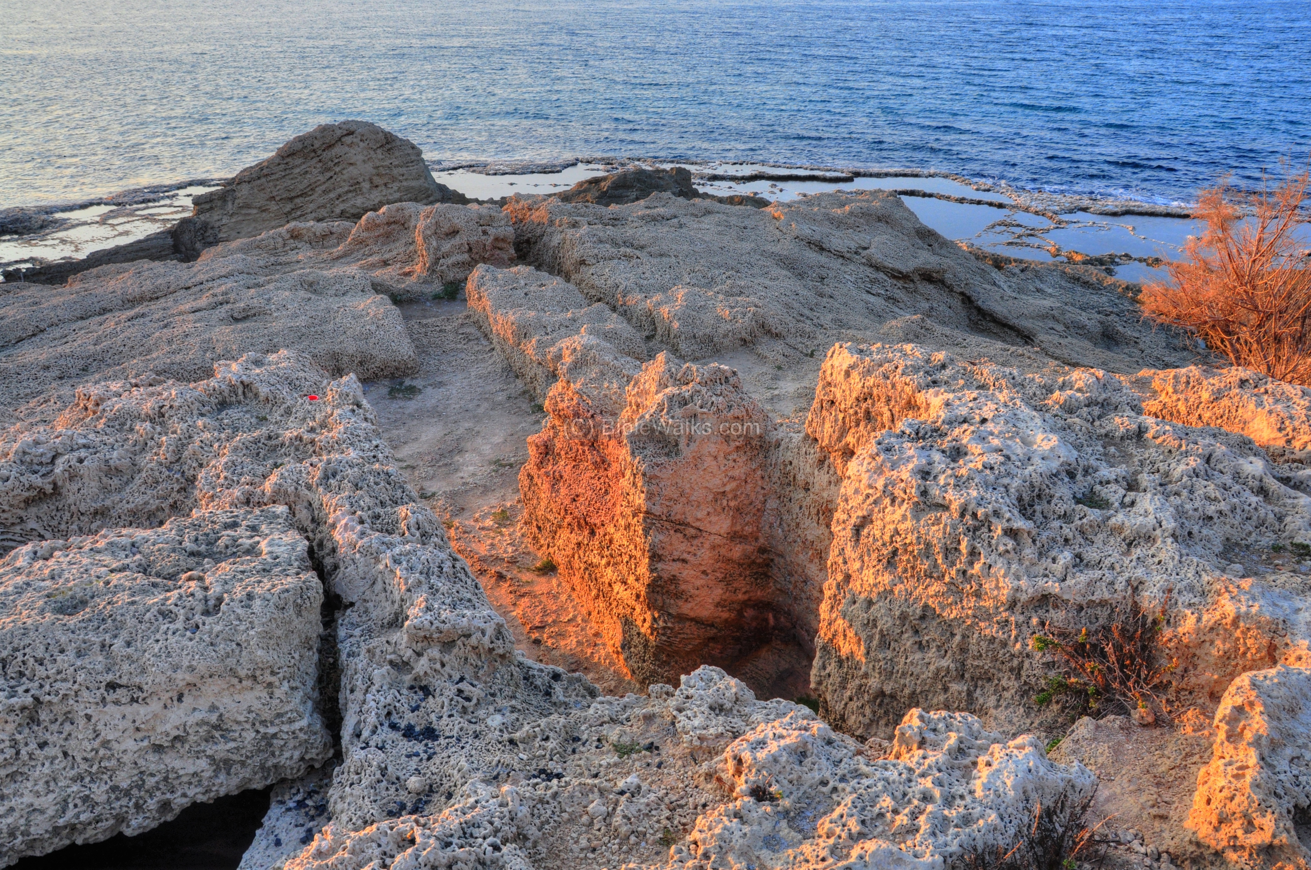
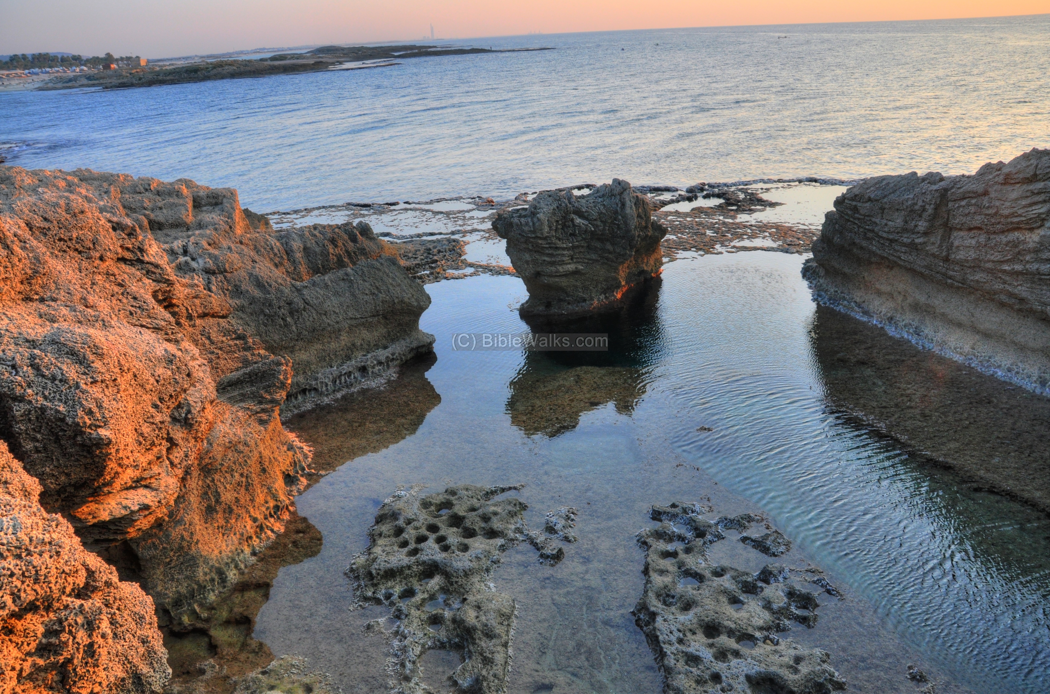
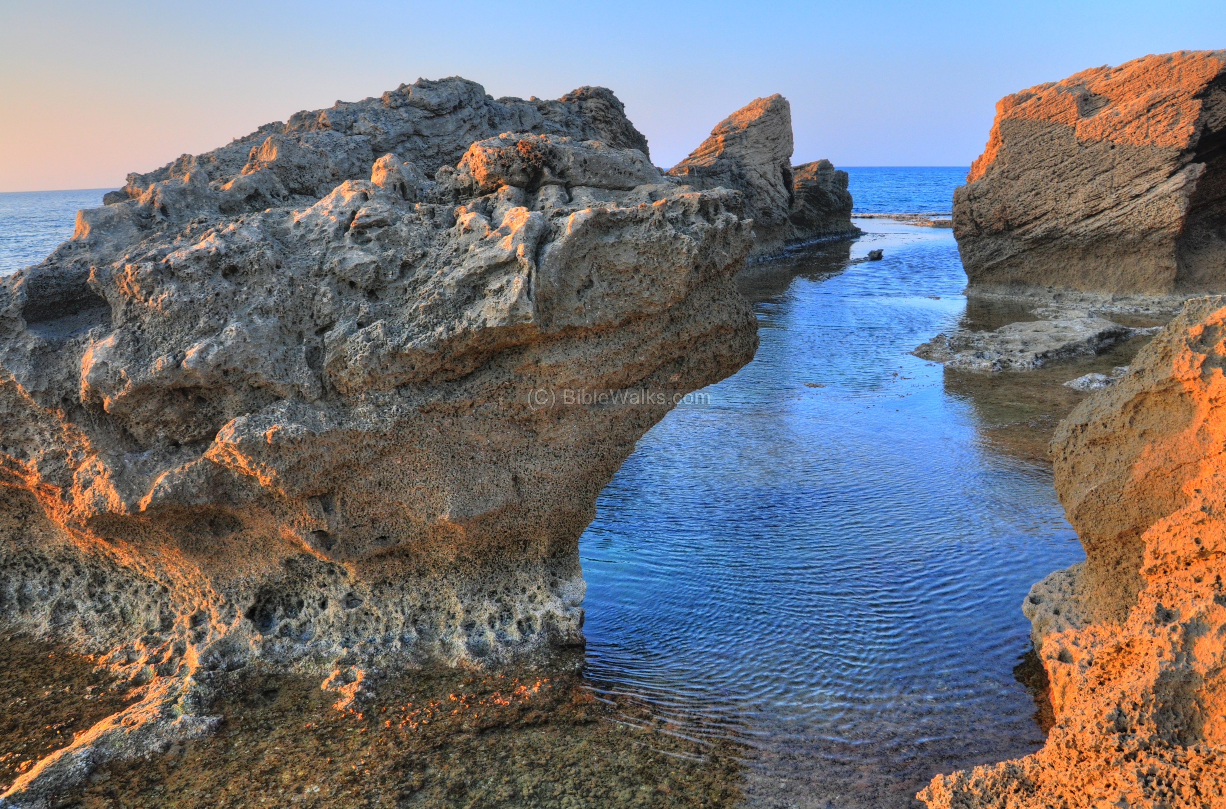
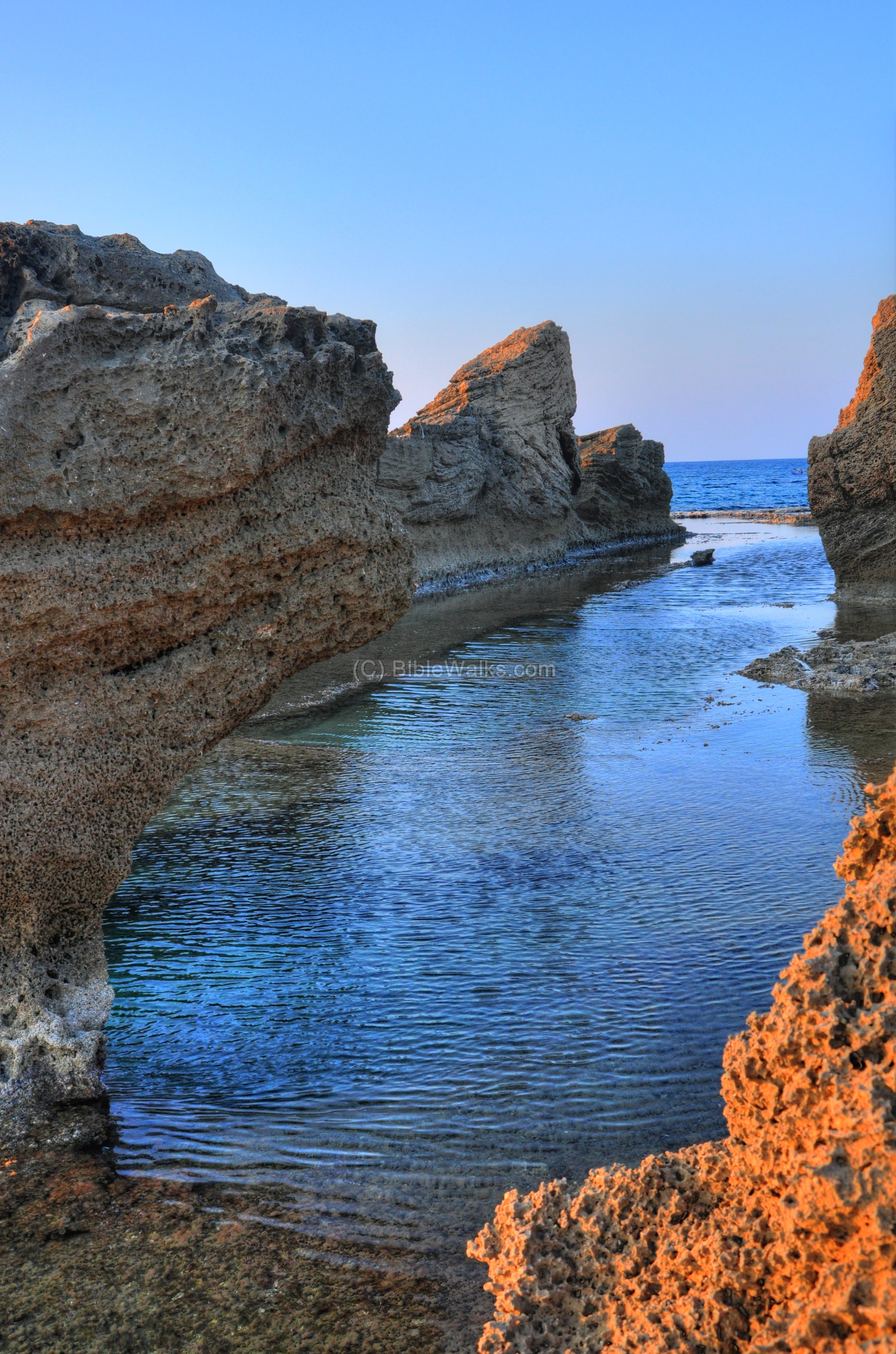
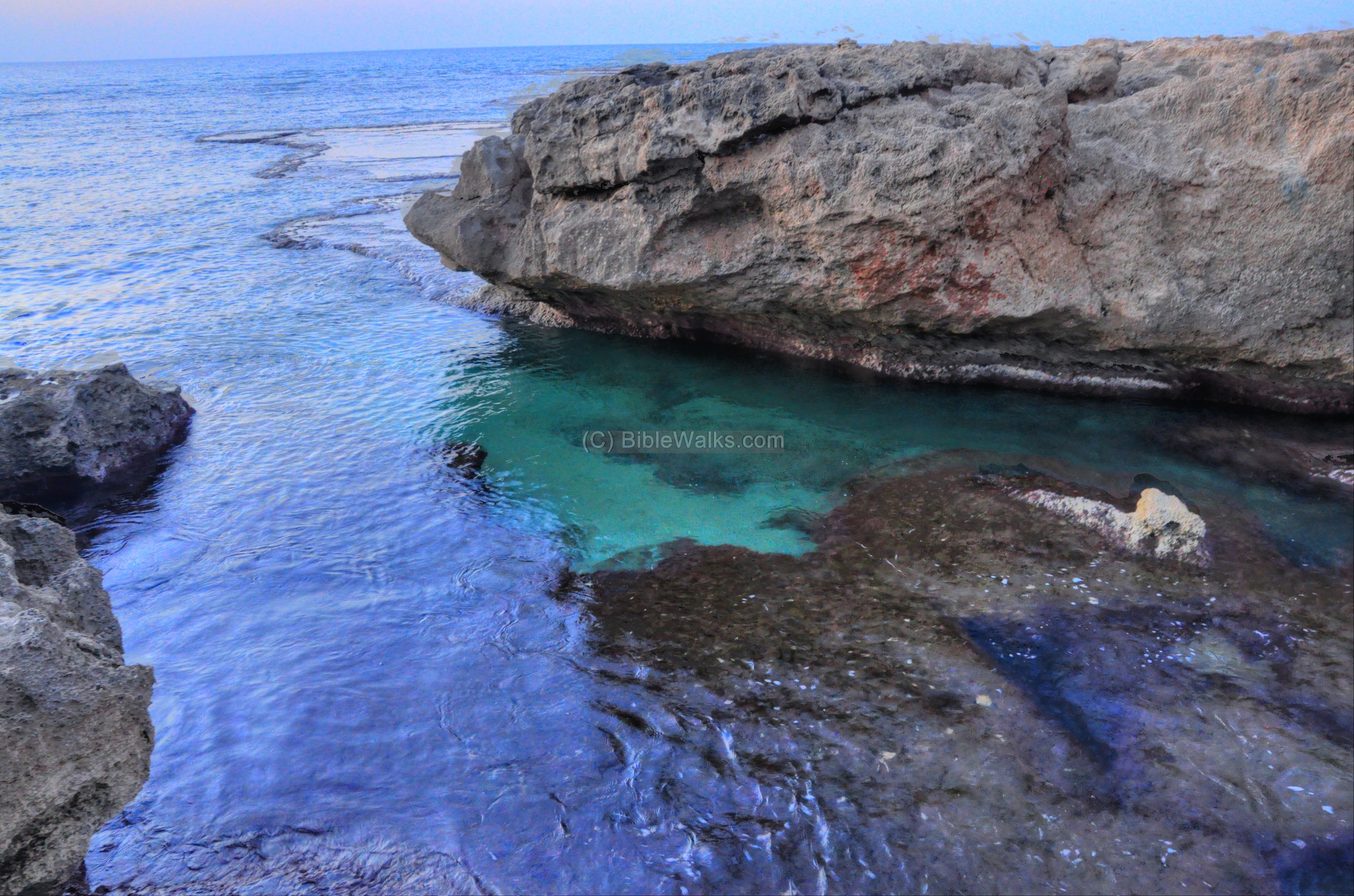
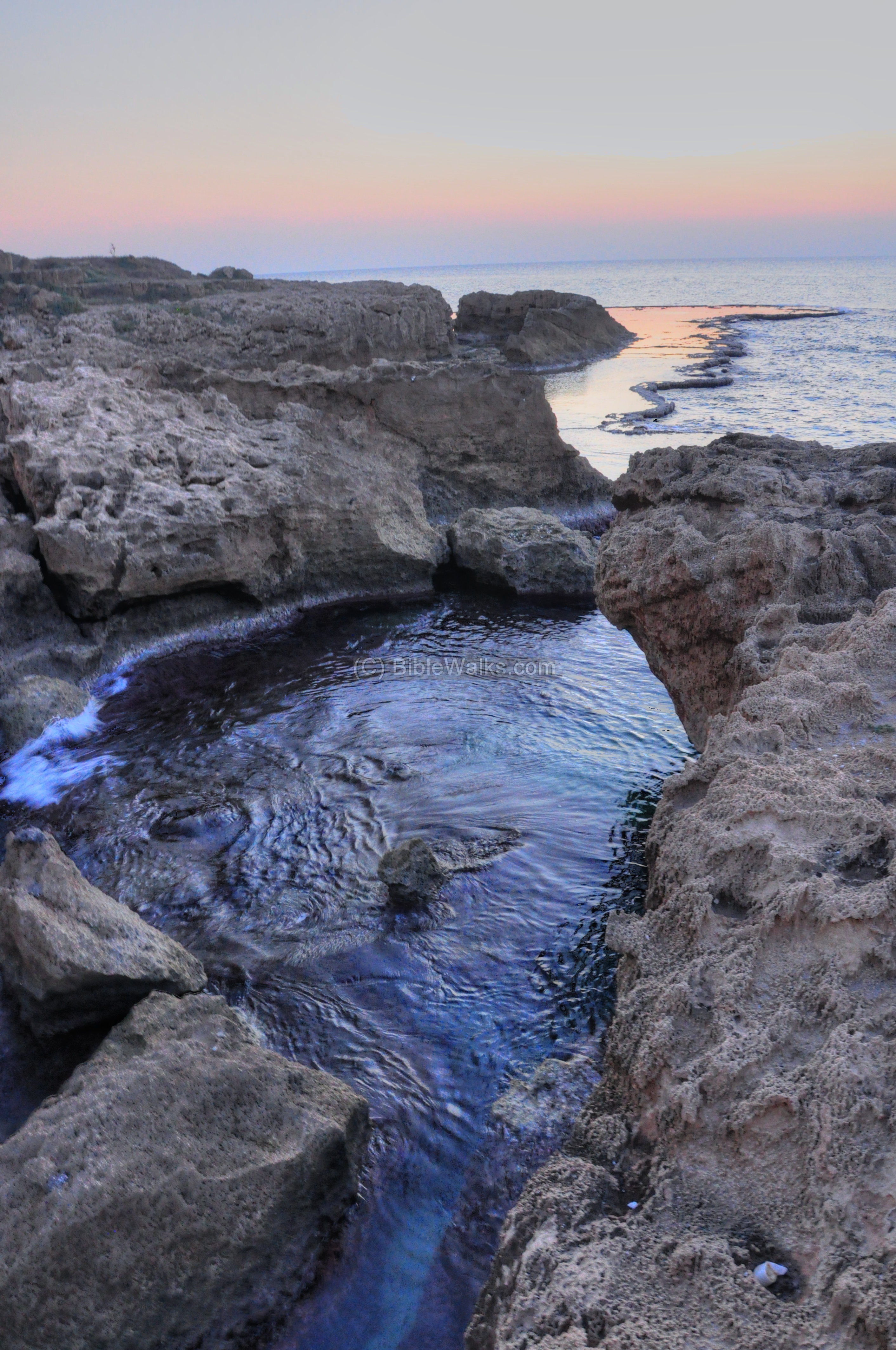
The south side of the south-west corner faces the entry to the southern harbor. The gap between this sandstone ridge and the island beyond the bay may have been deepened during the ancient times in order to support larger vessels.
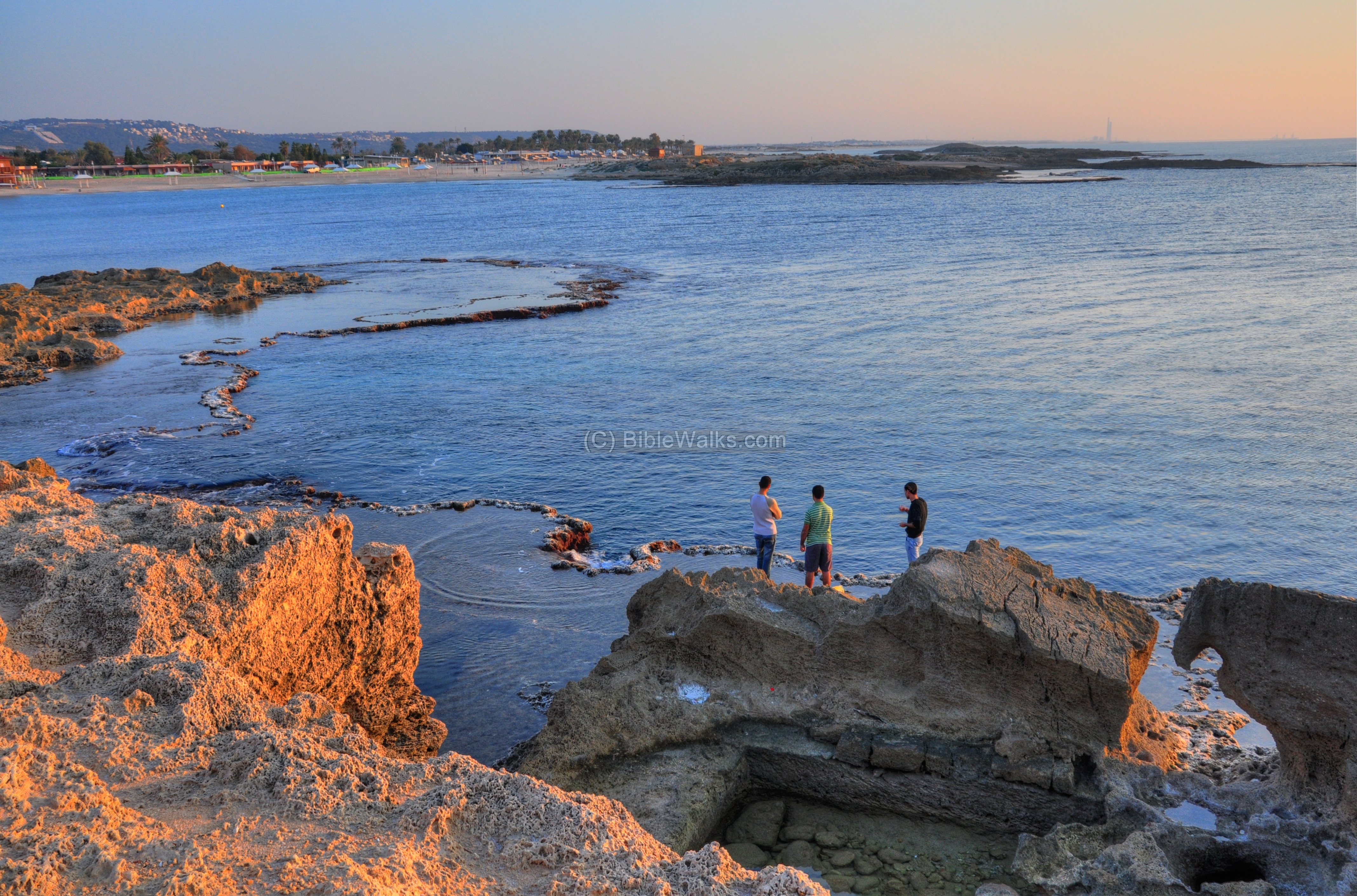
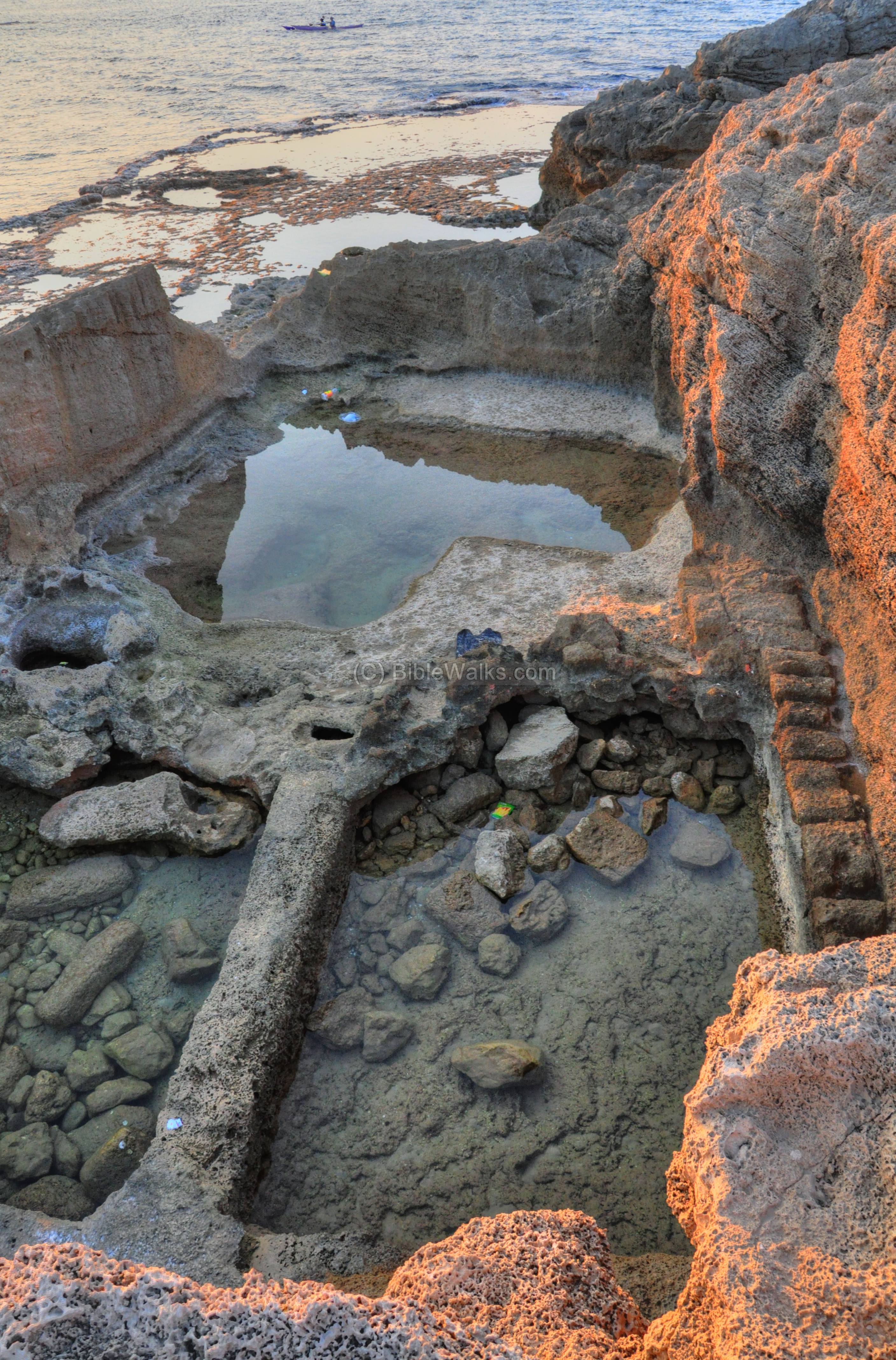
Several rock cut pools are located on this side, as seen below.
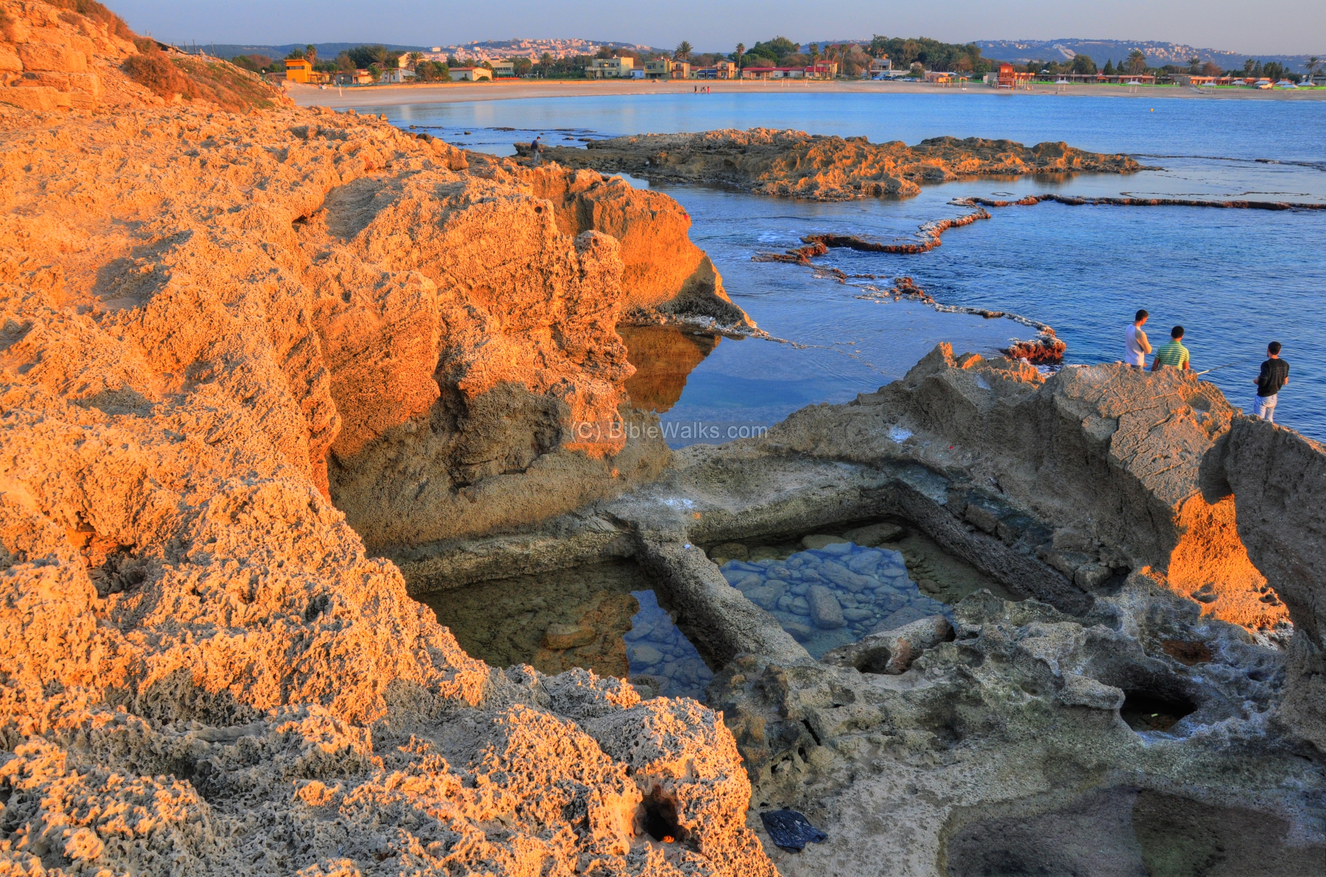
The photo below shows another view of the rock-cut pools.
West – Area H:
Area H, located on the western shore, is the location of a large Roman temple, which may have already been built in the Hellenistic period. Its length, from south to north, was 80 M(!).
The map shows the location of this area, marked by a purple rectangle.
The temple is partially submerged, as seen in the photo below. On the left side is the highest section of the mound – the acropolis.
A view from the acropolis to the north shows the full extent of the temple. It started from the (closer) right side, and extended to the north where a section of its wall is located.
A closer view of the remains from the temple is seen below.
A detail of the base of the structure is seen below.
The northern side of the temple is located on the shore.
The monumental temple was supported by a base (podium) made of very large stones. This base exists today only on the north side, as seen below.
Another view of the temple’s wall is seen below, with several sections of sandstone columns which were placed on top of the wall. The columns reached a height of 15M and were probably a magnificent sight during the Roman times.
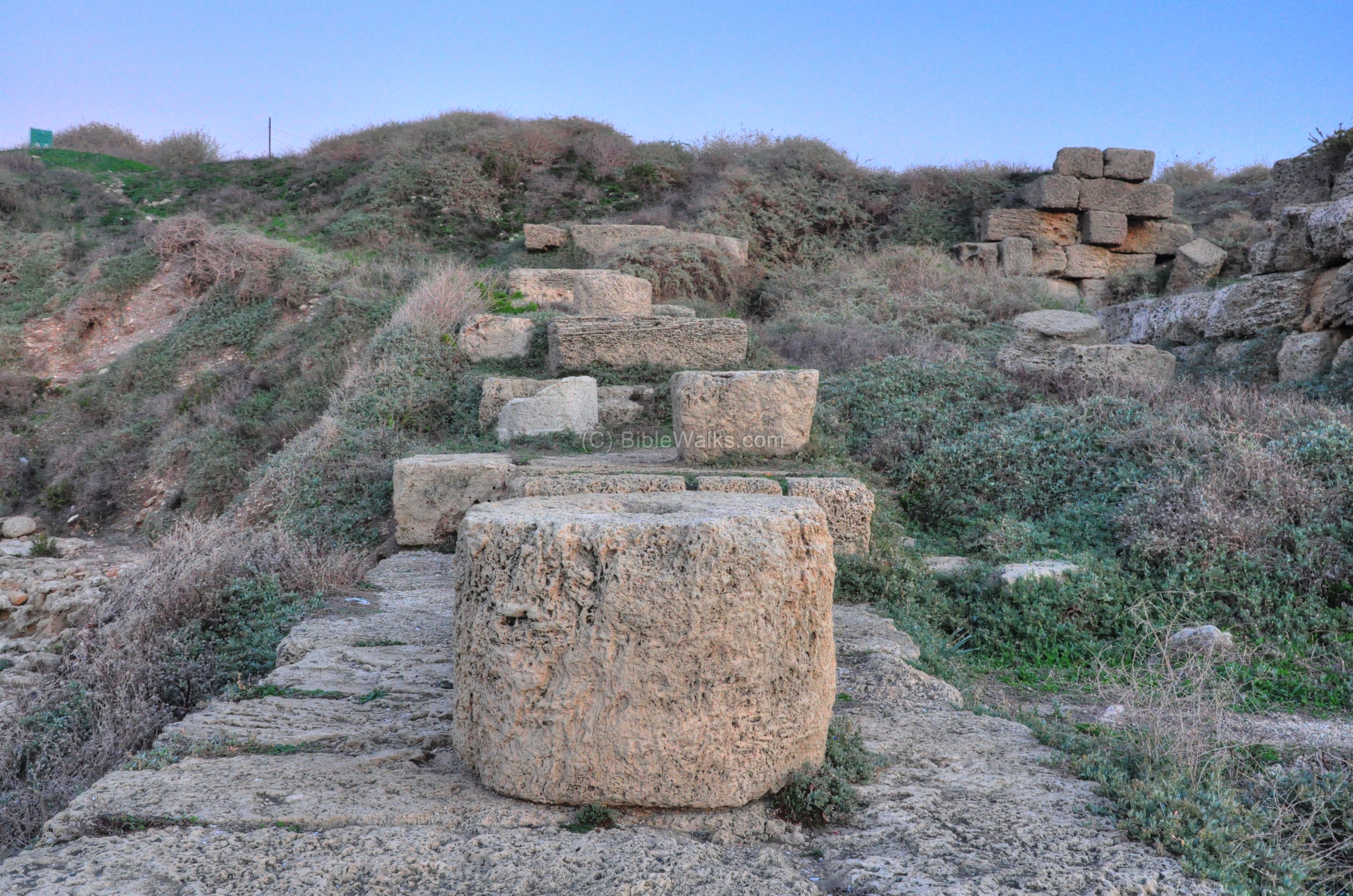
Another view of the north wall is seen below, looking towards the north. Two sets of staircases, one of them was reconstructed on the north-east side, connected the lower level of the temple to the higher level of the city.
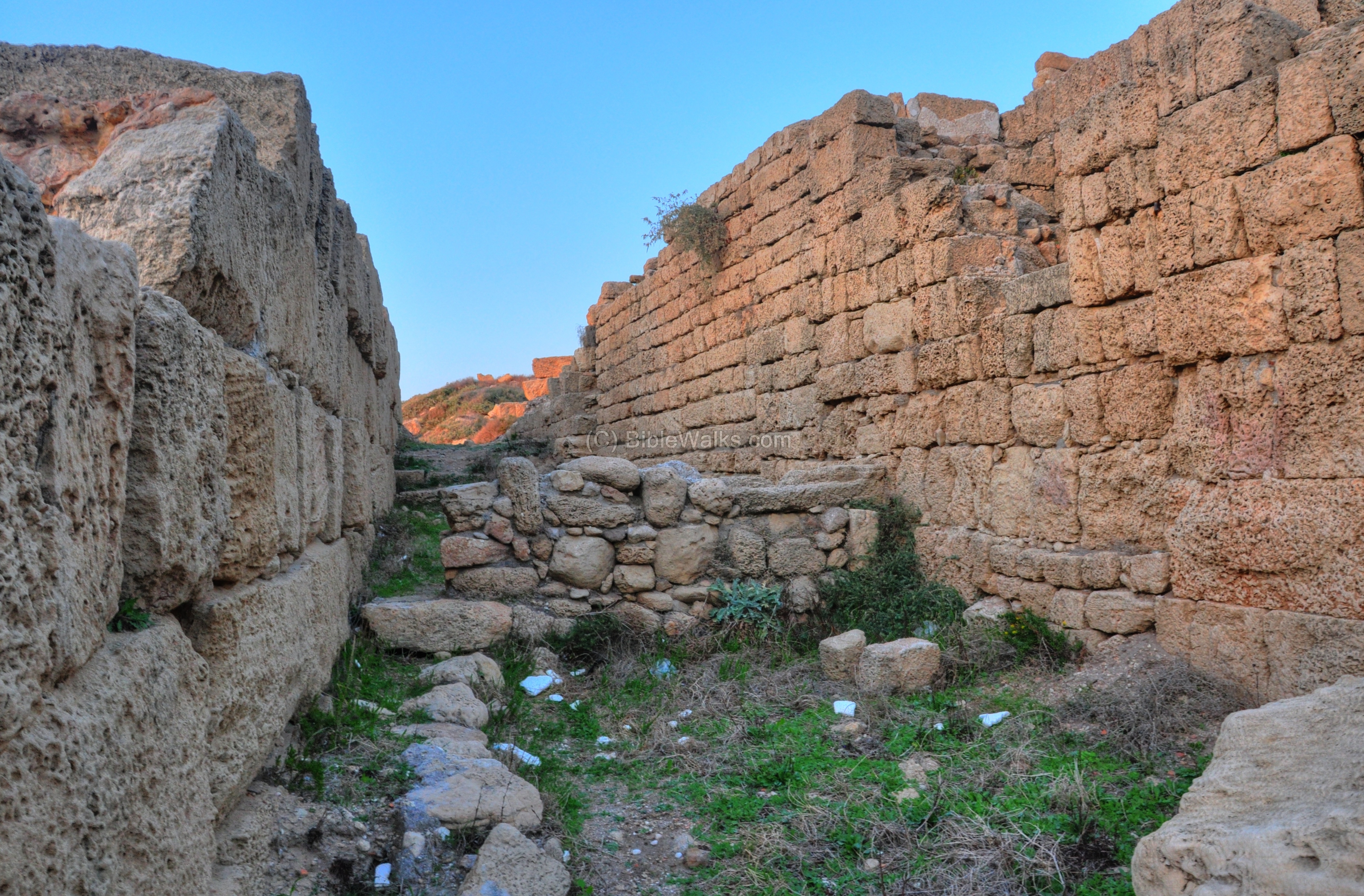
West – Area F:
Area F is another location of a great Roman temple, which is adjacent to the western shore and area H.
The map shows the location of this excavation area, marked by a purple rectangle.

The photo below shows a view of the area, as seen from the acropolis on its south side. A large staircase led from the lower side at the beach (area H, on the left side) to the upper section of the temple (on the right side).
The western wall, close to area H, is seen below.
The photo below shows a detail in this wall.

Behind the wall is the staircase that ascended from the beach level to the upper level.
Another view of the staircase, with a view of the acropolis on the south, is seen below. The temple may have been extended all the way through the acropolis to Area D in the south, but the Crusader/Ottoman fortifications on the high hill damaged the Roman structure.
A section of the temple area is seen below.
The upper staircase and other section of the temple is seen below.
On the upper side of the temple is a Roman paved street, with a north-south orientation. The street seems to be oriented at an angle, perhaps due to changes in the orientation of the walls in respect to an older street plan.
A view of the structures on the top side of Area F is seen below, with the acropolis in the background.
The photo below shows a view of the sea shore, the lower section of area H along the beach, and the acropolis on the left side.
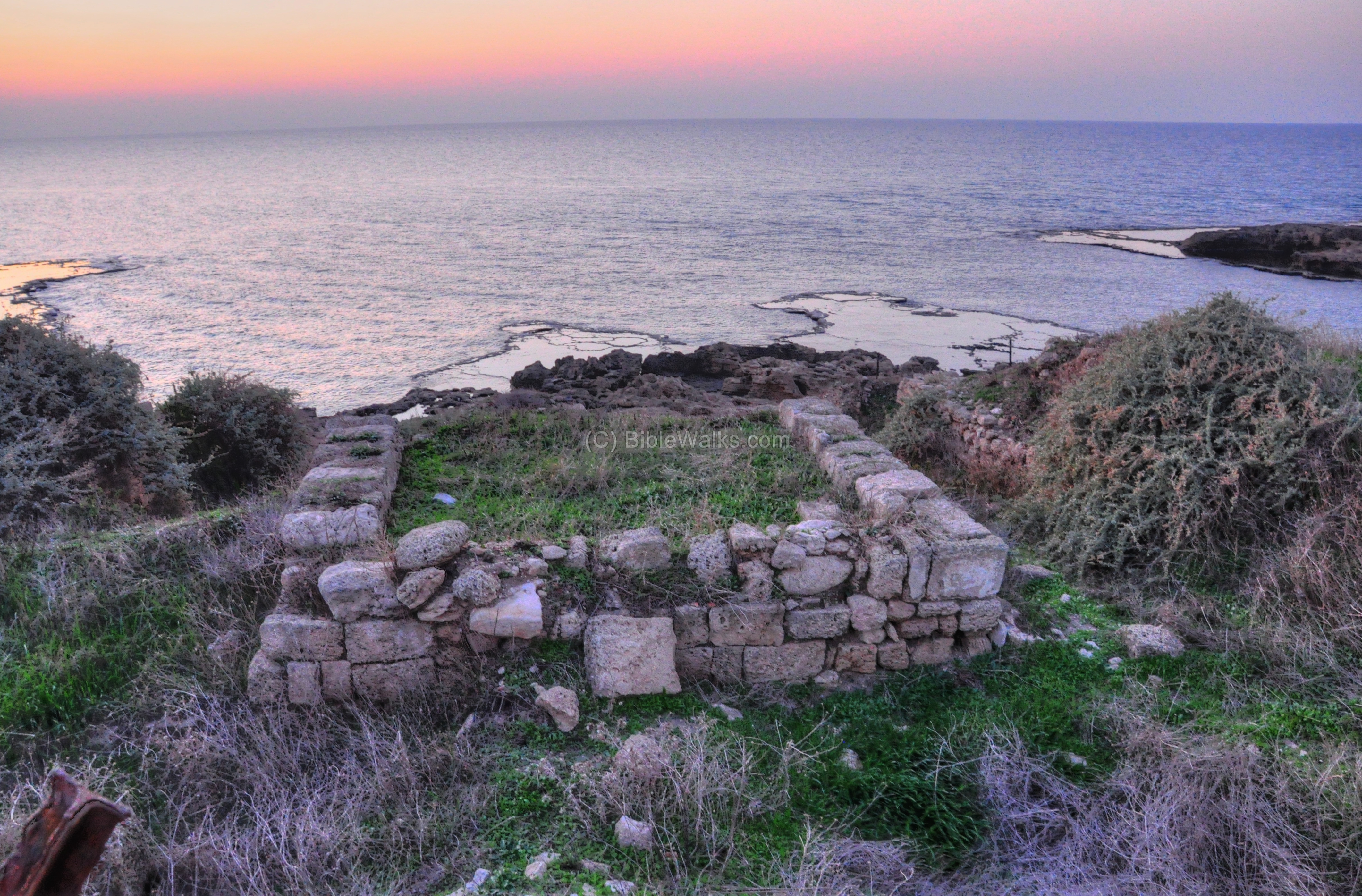
Another sunset view of the western side of the mound is seen below, with a section of a sandstone column in the foreground.
North-West: Area E and Temple:
Area “E”, located on the north-western corner of Tel Dor, was mostly structures related to the shipyard and other public houses such as a temple.
The map shows their location, marked by a purple square.
In Area “E”, above the rock-cut boat slips, ruins of a large Roman bathhouse was excavated on the northern side. Its western side, facing the sea shore, was cut away. The bathhouse included a brick based stove which warmed the waters inside the bath, using the Hypocaust method (under floor heating system, based on hot air which was pumped under the floor and heated the waters) .
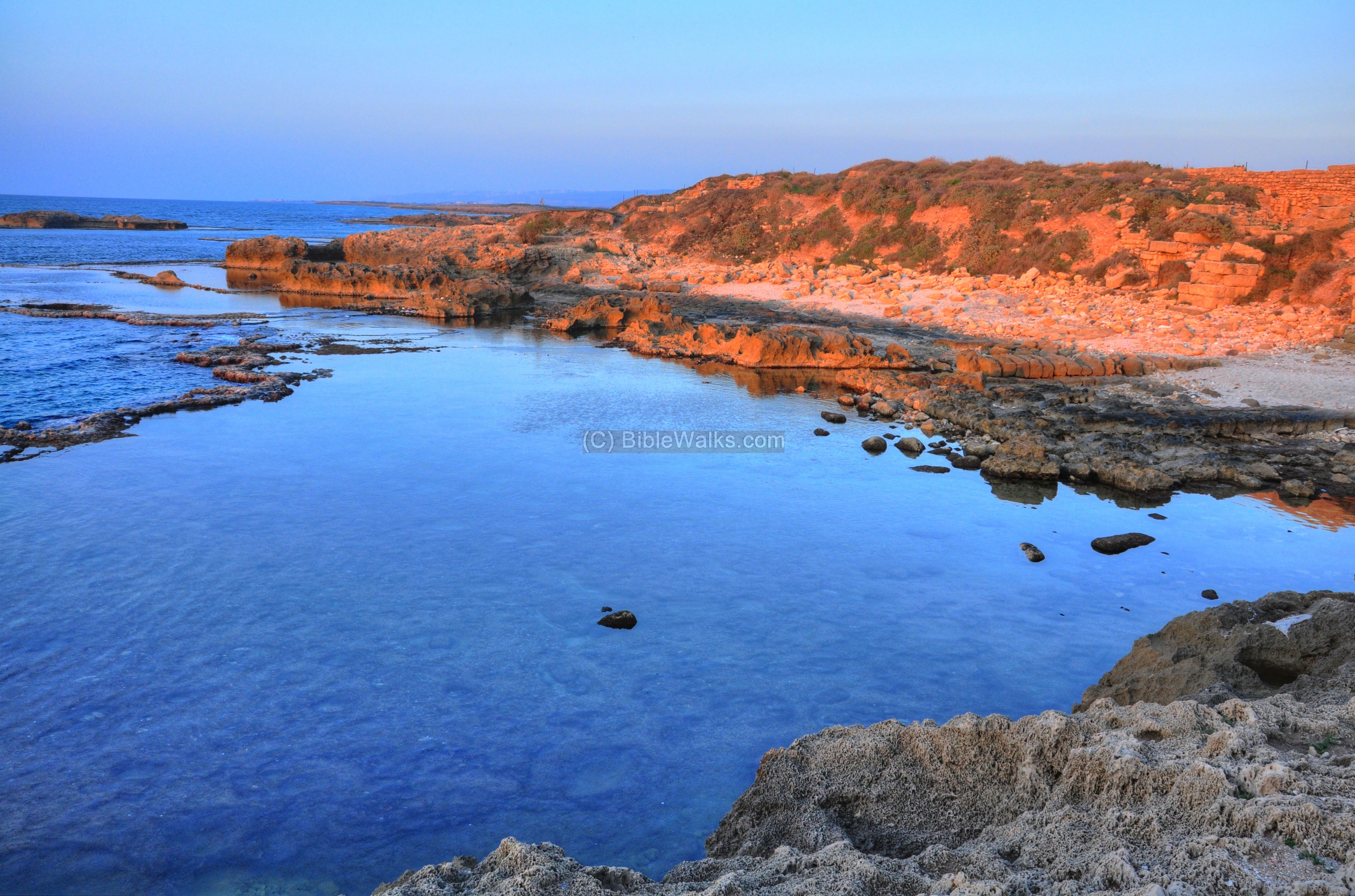
Along the shore at this point are amazing natural scenes, with a combination of the rock formations, the water and the sunshine.
Another natural masterpiece is seen below.
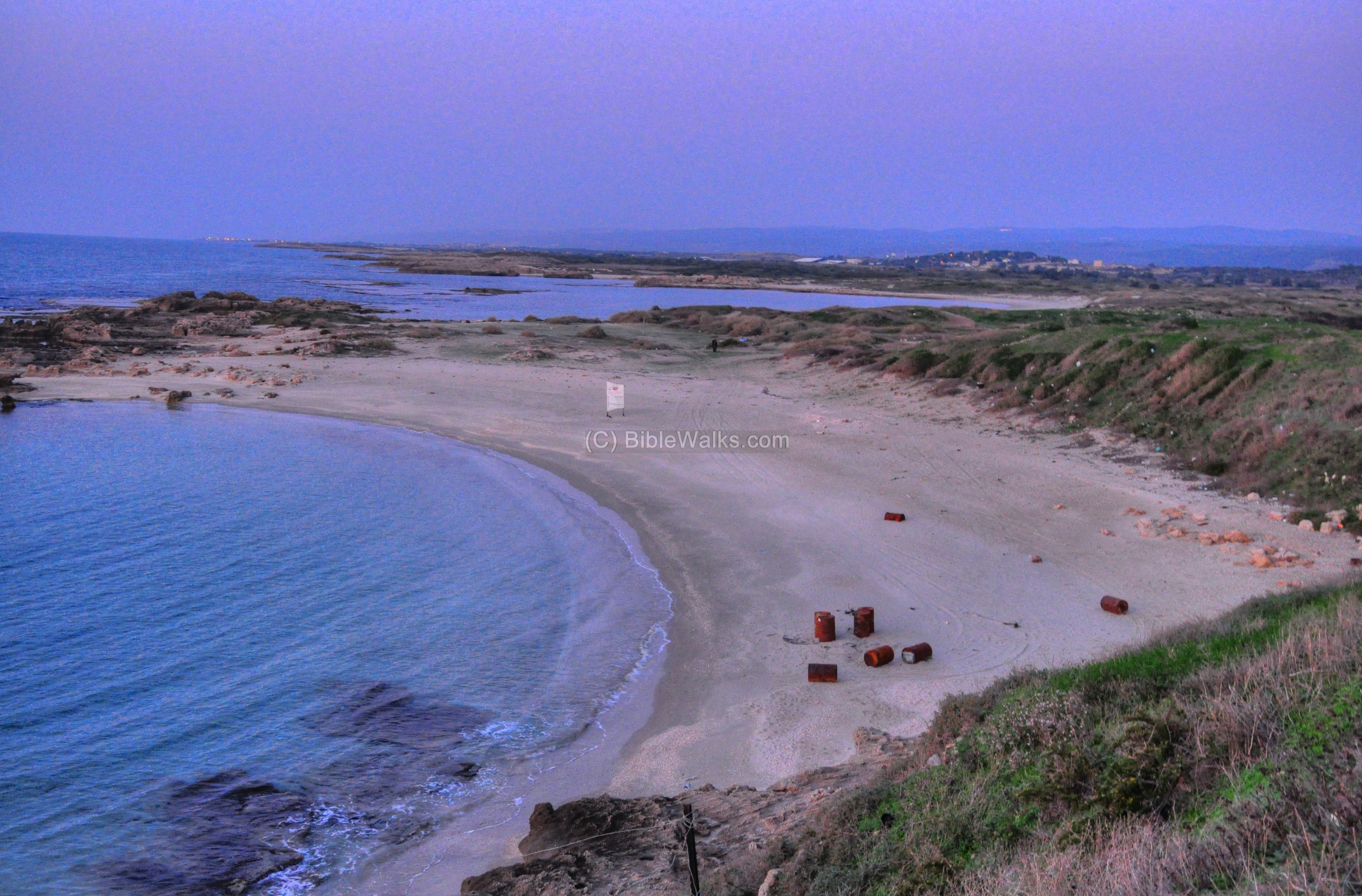
North-West: Love Bay:
A pair of rock-slips, dated to the Hellenistic and/or Persian period, are located on the shore. These may have served as dry docks, which served fishing vessels and/or military ships.
The map shows the location of the dry docks, marked by a purple square.
The photo below shows these rock cut channels, or slipways. They are 30M long and about 4M wide, with 0.6-0.8m high walls.
Another view of the rock slips is seen below. This is a unique installation, rarely found in other ancient ports. The slipways were probably used for repairing and maintaining the vessels, and perhaps during storms of the winter time for storage.
A view of the north side of the bay, called “Love Bay”, is seen below.
Most of the ancient ports in the Holy Land have 2 harbors – north and south. In Dor there are three commercial ports – the southern harbor, the northern harbor (seen in the background below), and a shallow western harbor (“Love bay”) which serviced smaller crafts .
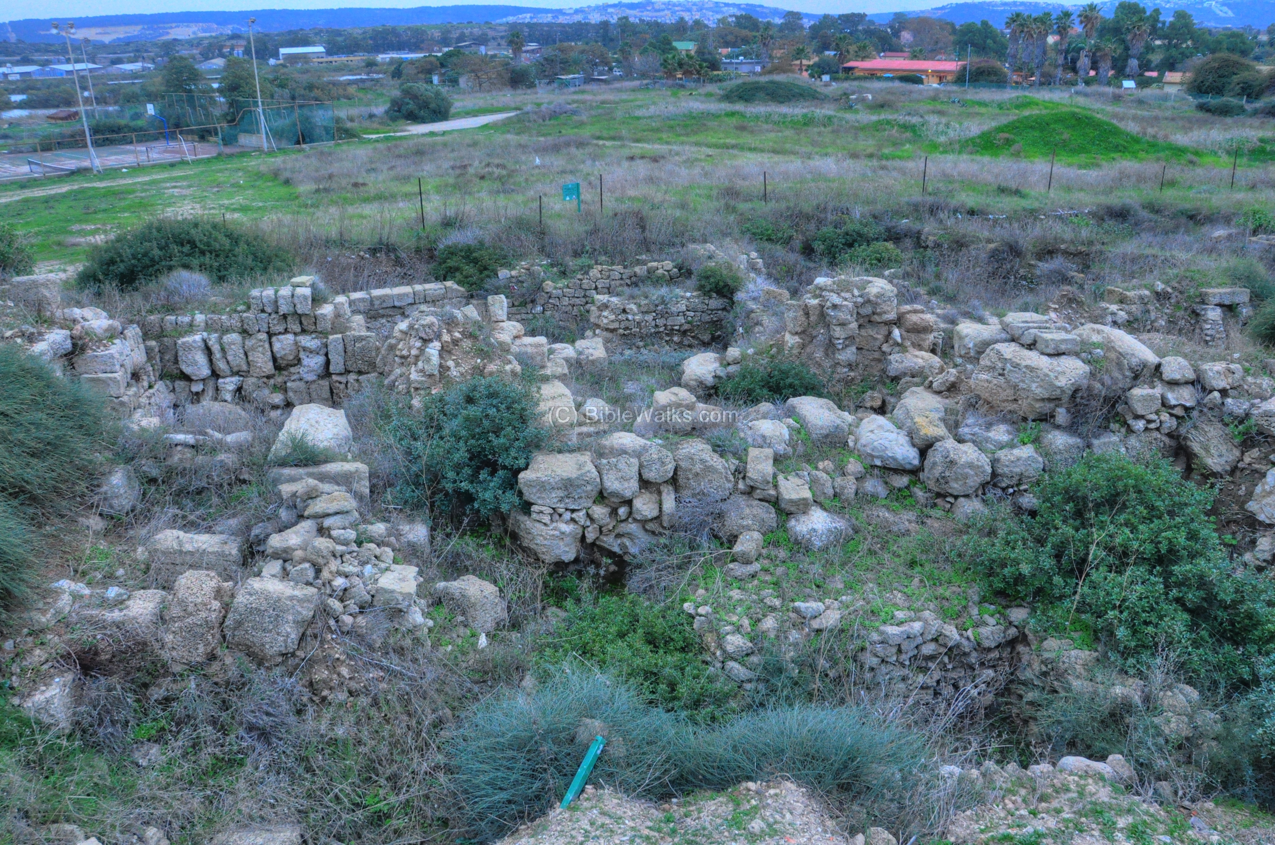
Center: Area G:
Area G is located in the center of the mound, north-east of Area F. The map shows the location of Area G, marked by a purple square.
This section was mostly an area of residences, and was opened in order to search for the main cross streets. Indeed, the excavators found that the Decumanus street from area B1 passed at this location, and crossed the main north-south (Cardo) street.
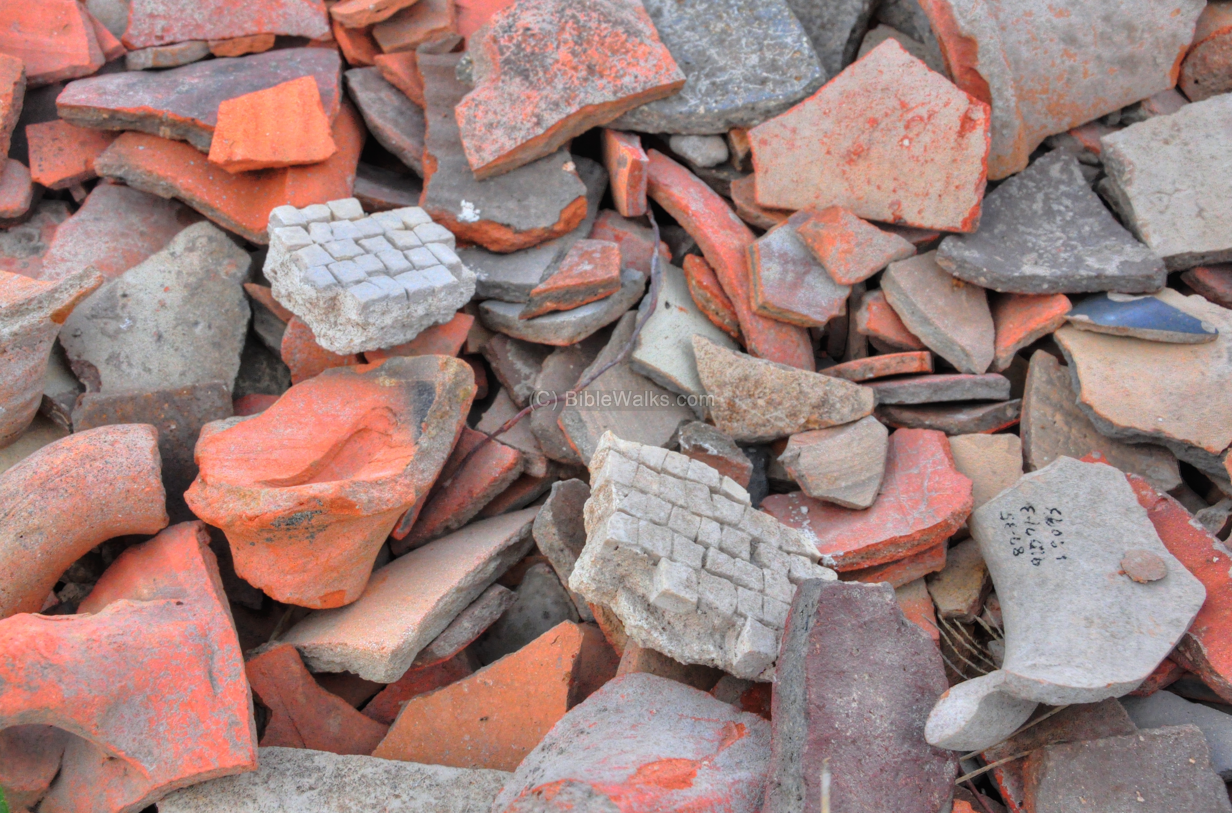
A photo of this section is seen below, which is currently covered by weed. A large pile of ceramics were left over from the excavations.
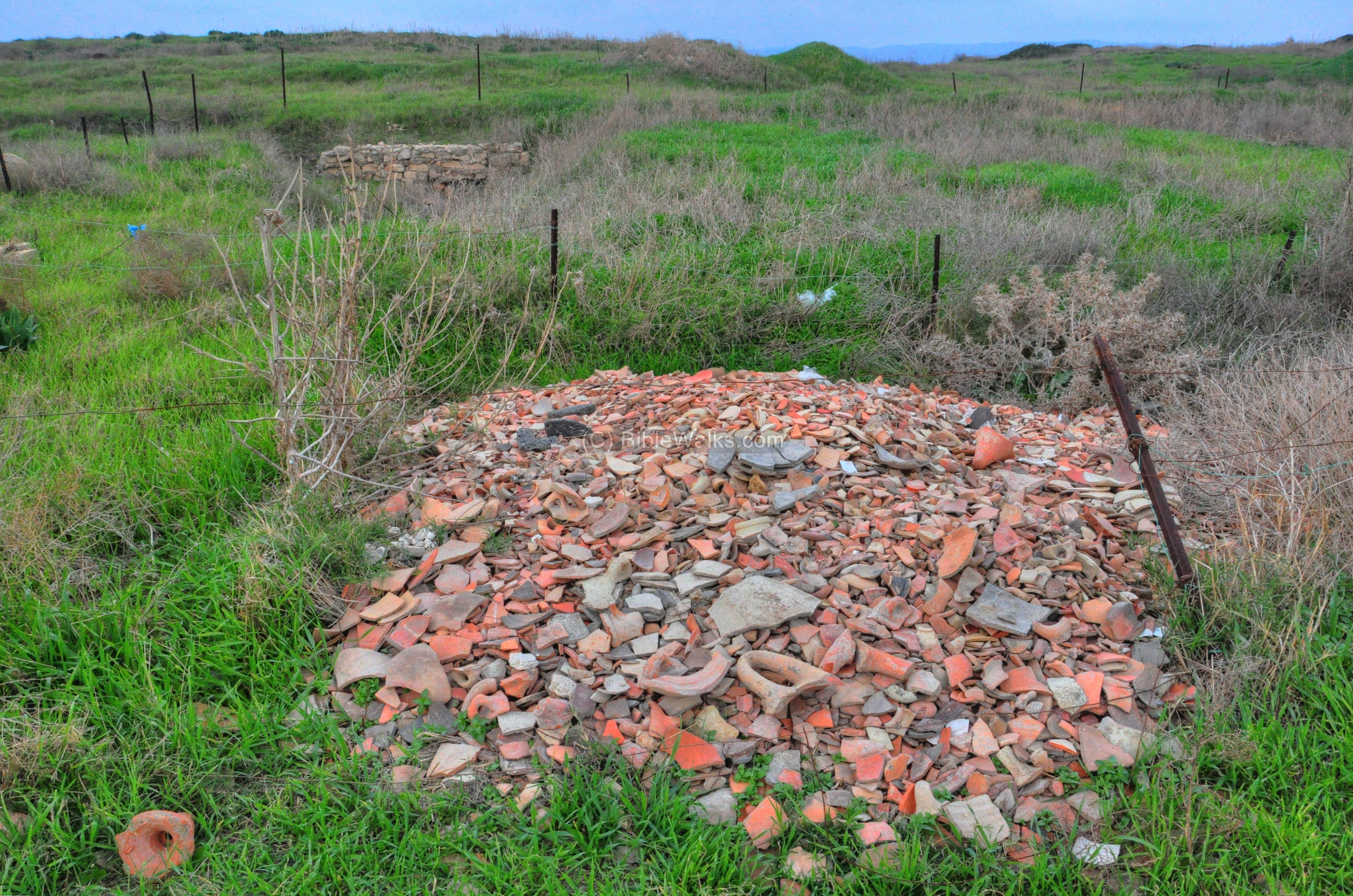
A closer view of the ceramic fragments is seen below. Sections of mosaics are also among the fragments.
North and North-East:
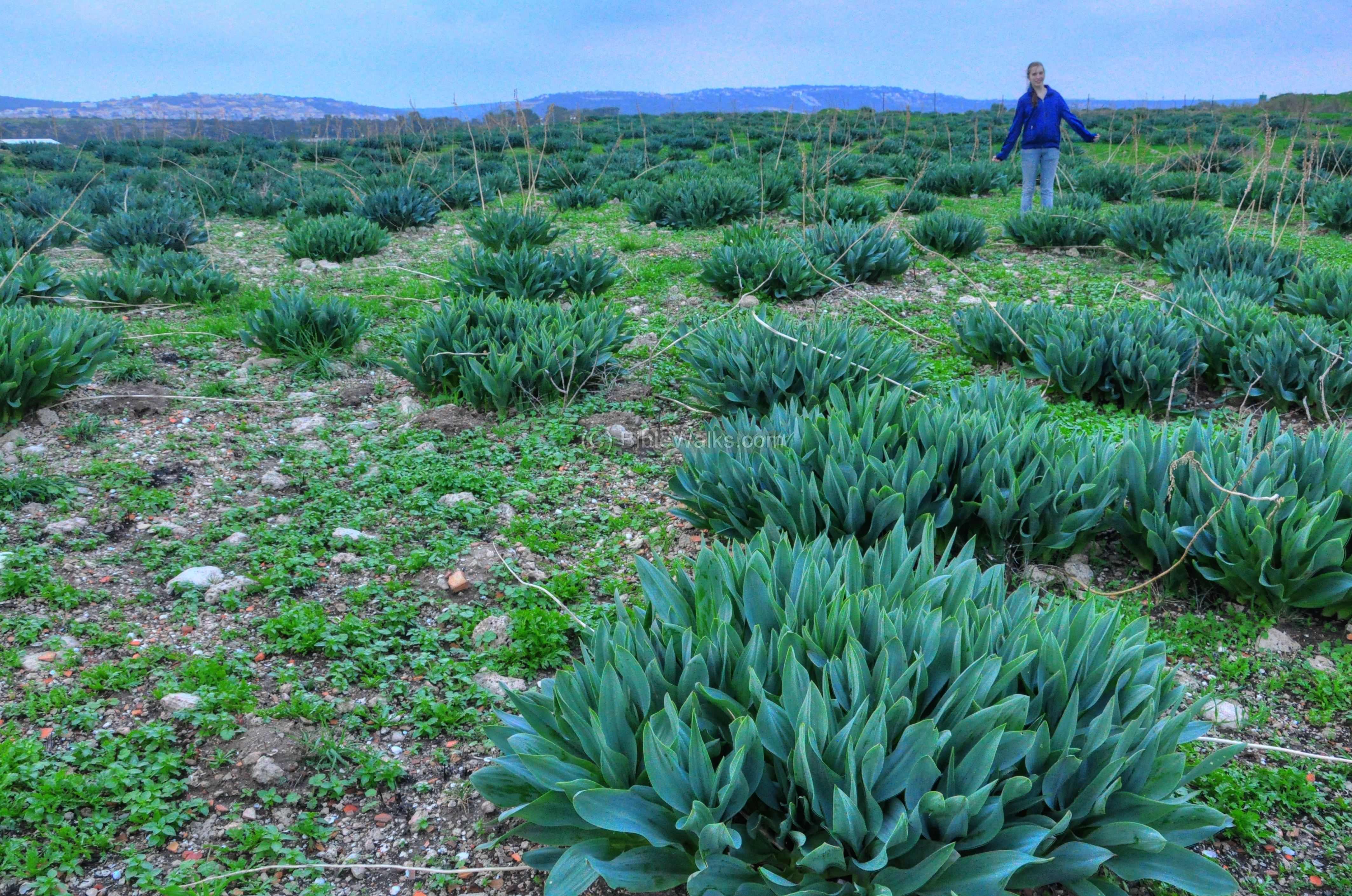
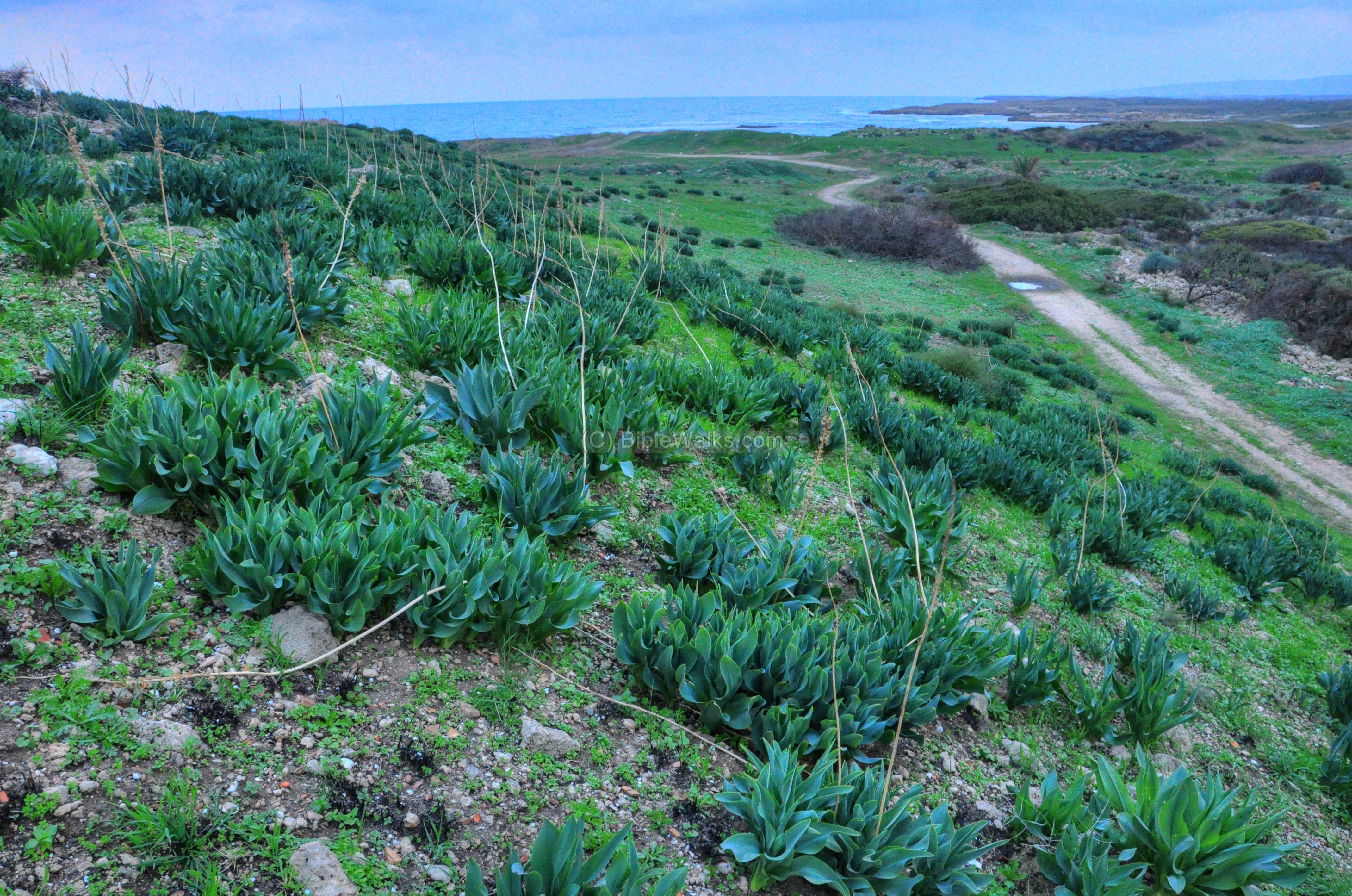
The north side of the mound is not yet excavated, but the surface of the ground contains thousands of ceramic fragments. The north area was covered during the Roman period with large structures, such as a Hippodrome, Gymnasium and other public structures and residential houses. However, during the beginning of the 20th C most of the stones were stolen by the villagers of Tantura.
The surface is also covered with leaves of the Hazav (squill) plant which flowers in the end of the summer. According to Amit, seen in the photo below, it looks like a “Teletubbies” field.
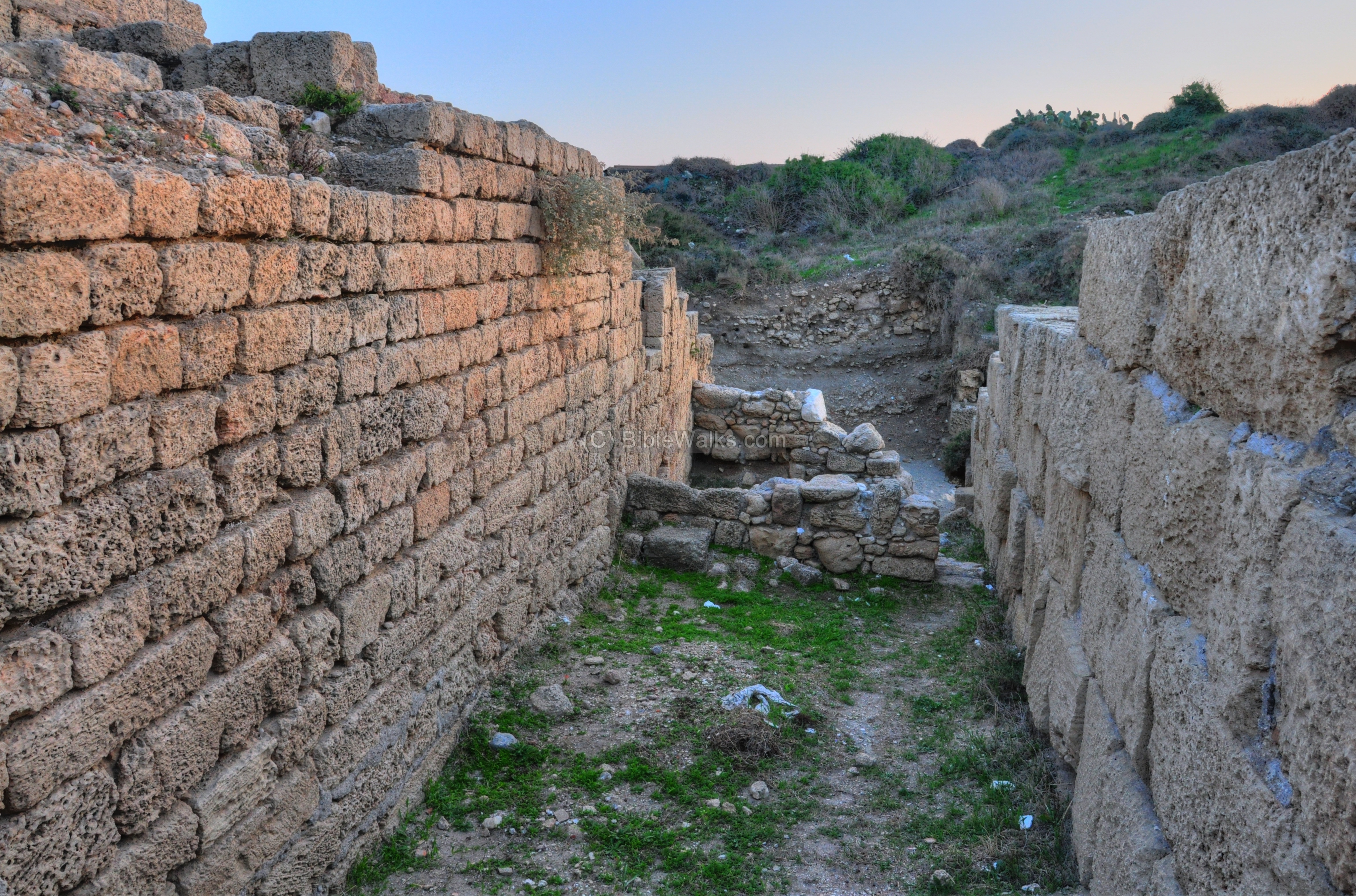
The north-east side of the mound, seen below, is steep. This was the edge of the great walls of the Canaanite city, which protected it from the north and east side.
East – Area C and A:
An aerial view of the eastern side of Tel Dor was captured by a quad copter (October 2014). In this side are areas A, B and C.
Areas C and A are located on the middle of the east side. The map shows their location, marked by a purple square.
These areas are mostly residence areas which were located close to the edge of the steep eastern side of the mound.
Area C, seen below, is the northern section of these two areas.
Another view of Area C is seen below.
Area A, a southern section of C, is seen below.
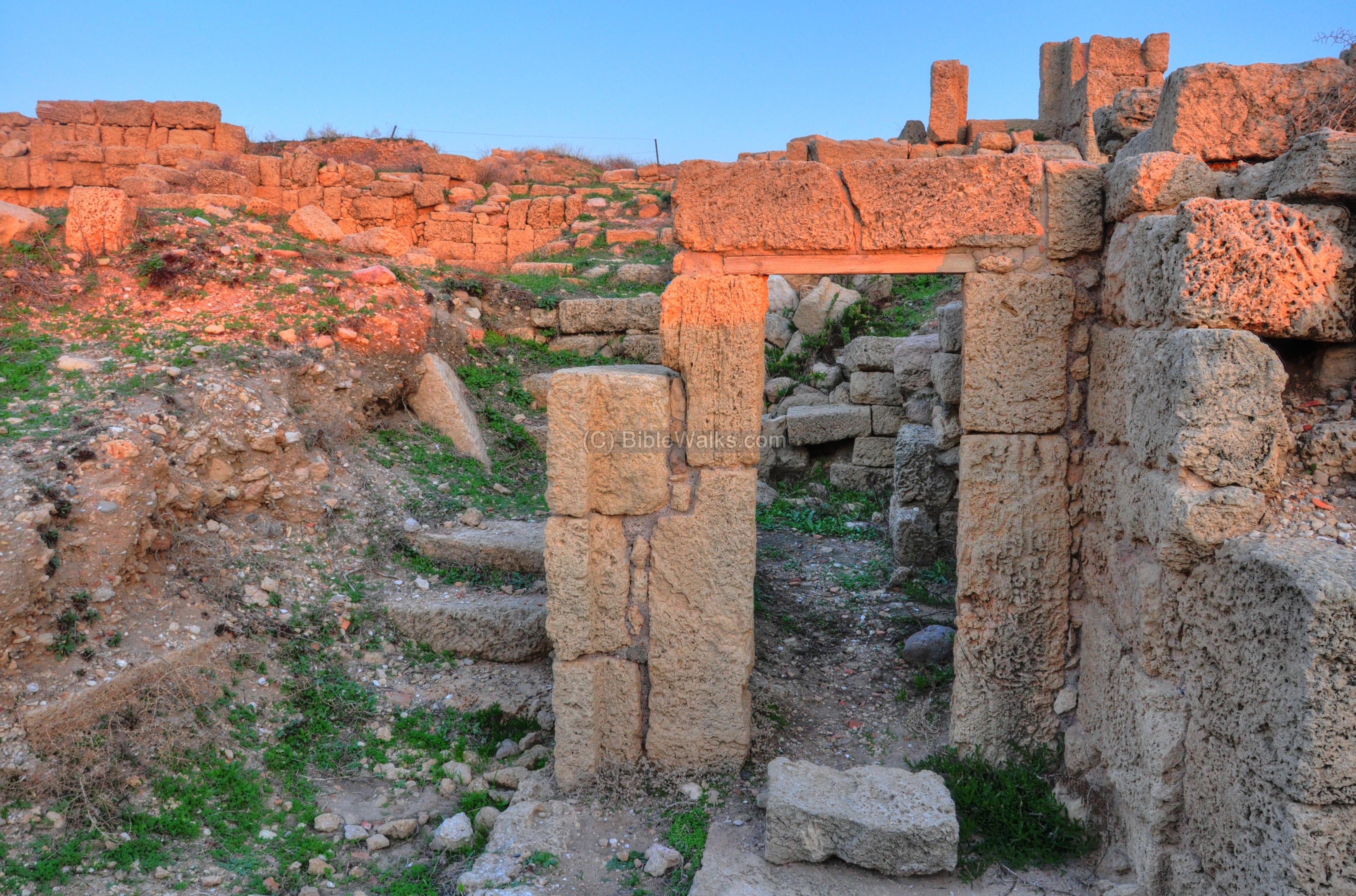
South-East – Area B:
Area B is the eastern gate of the city, with public structures around it. The map shows the location of the excavation area, marked by a purple square. There were two excavation areas here: area B1 (north) and area B2 (south).
The gate of the city continued to be in the exact same location from the first gate in the Iron/Biblical age (the times of King Ahab in the 9th C BC) until the Roman gate (1st C BC-3rd C AD). During the Roman period, a piazza was located near the gate, and included a grand fountain.
- Area B1
The Assyrian gate, dated to the 8th C BC, is seen in the lower level of the gate area. The gate design was based on a double-chamber type (one chamber on each side), which was built over the 4-chamber Israeli gate (two chambers on each side). The photo below shows the south side of the Assyrian gate, with the gate’s axis hole seen on the corner of the gate.
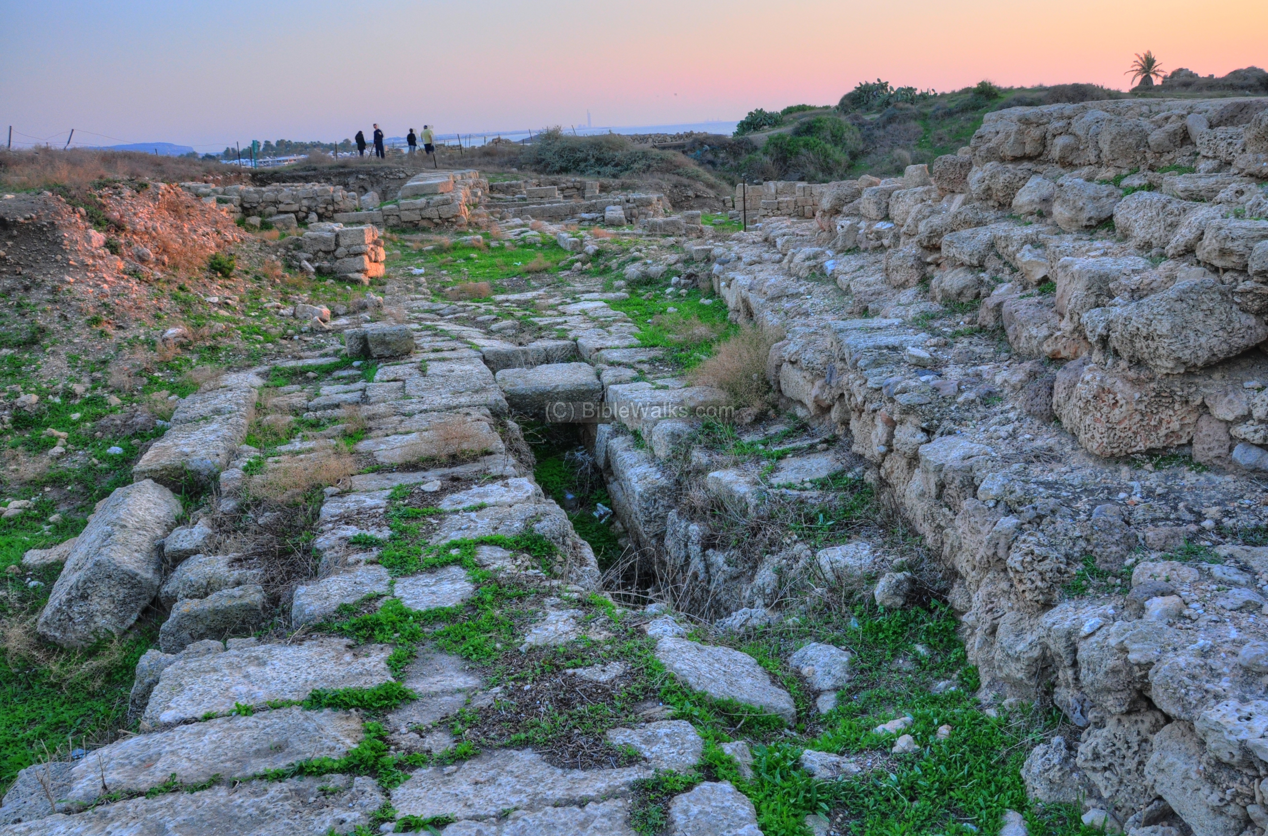
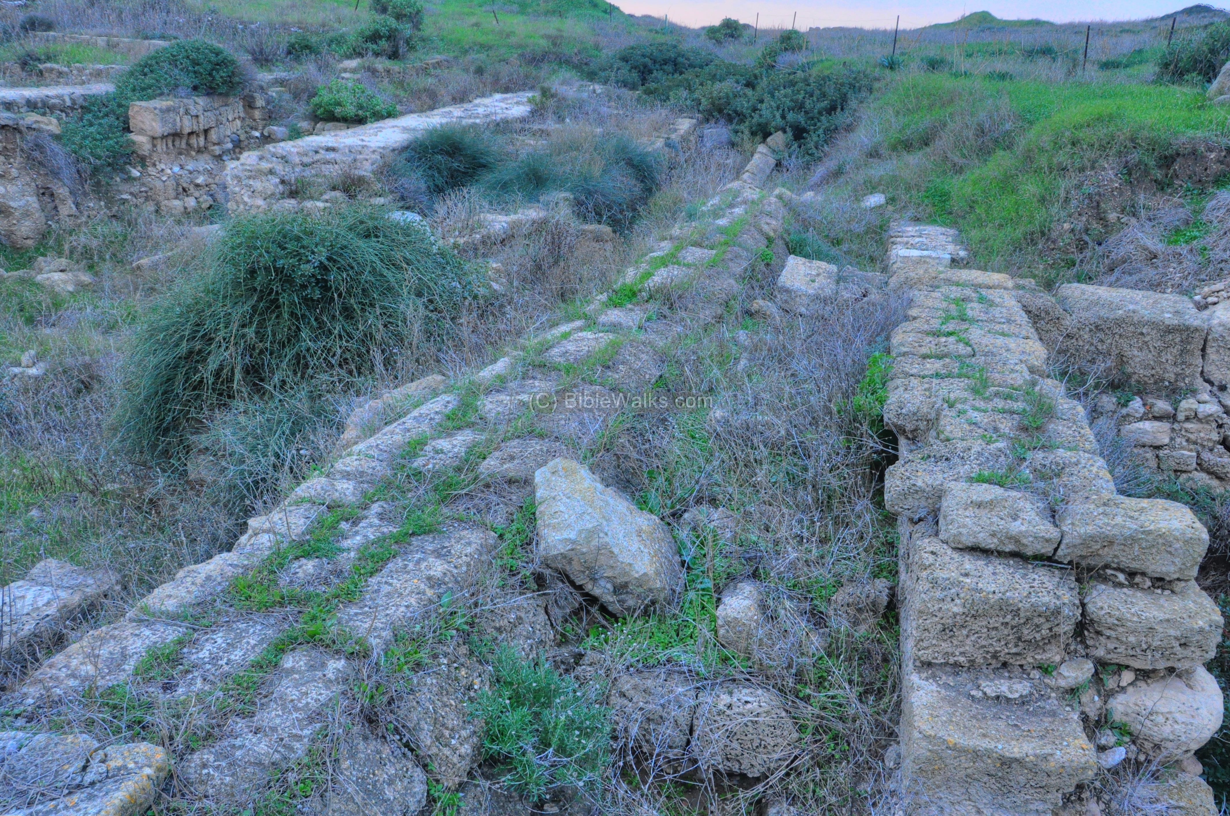
Area B1 is seen from the north side in the photo below, with the gate area on the upper side. A Roman street is located on the higher level of the excavations, with older periods under it. The Roman road (Decumanus) stretches right (west) to left (east), exiting the city from the eastern gate.
Along the remains of the Roman street is a covered tunnel, which is seen below in detail. This was the central sewer line (Cloaca Maxima) that was built under the Roman street, going through the eastern gate and out from the city walls. This is one of the largest sewer tunnels excavated so far in Israel, indicating the level of the urban design.
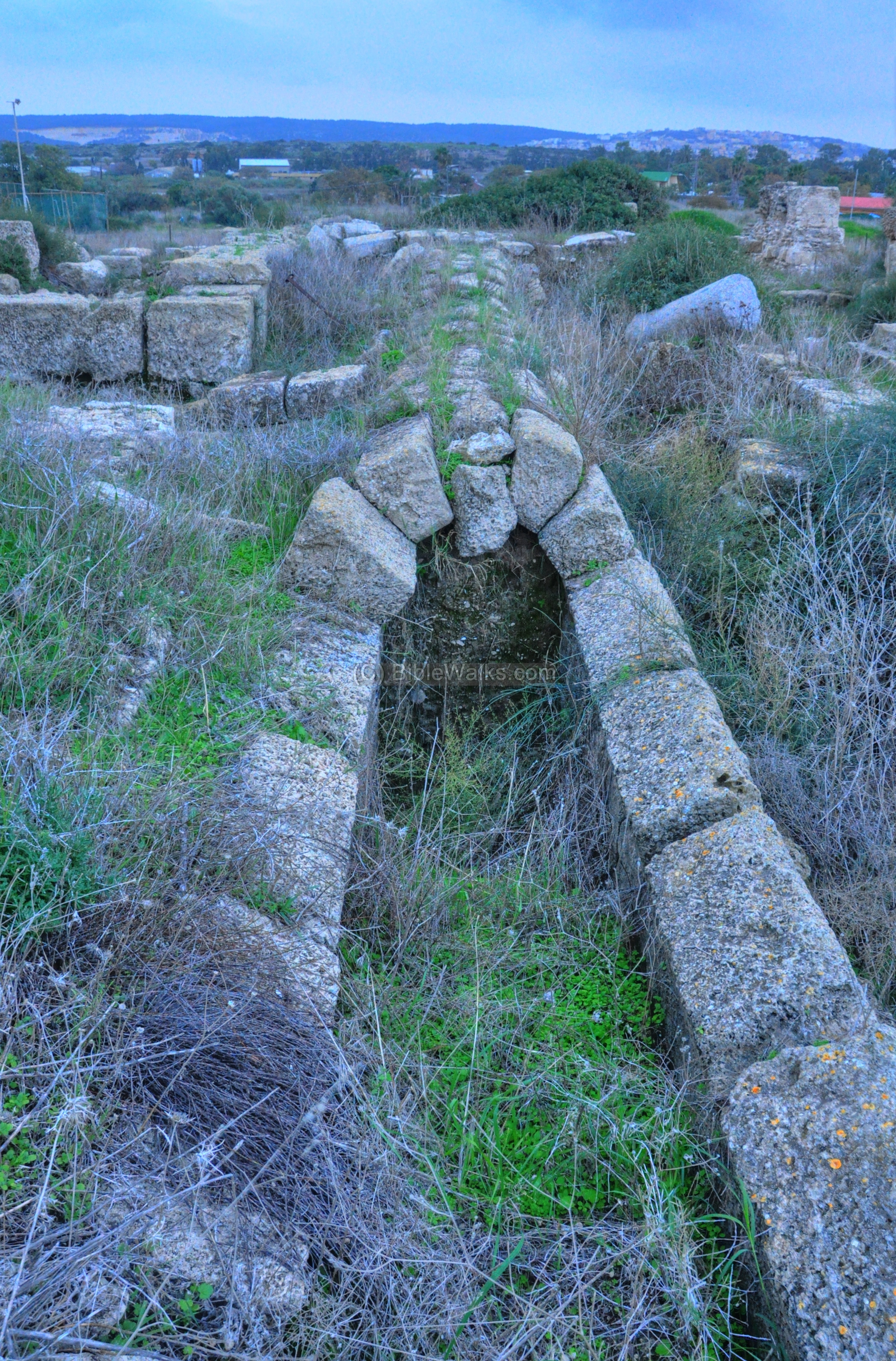
The Roman gate itself did not survive, and only the tunnel is left to indicate the path of the main entrance road to the city. This colonnaded road, 6-7M wide, crossed the mound all the way to the west side, splitting the city into a north and south section. It passed area G where it crossed the North-South (Cardo) street, and continued to the west (temple areas F & H).
The photo below shows a view of the street towards the western side. The street was paved between the two lines of stones, and the sewer tunnel ran in its center. It followed the same route of the Hellenistic and Persian road, which are located under the road.
Another water system is located in the gate area – the aqueduct. The two columns seen below are the last of three bases that supported the Roman aqueduct which supplied water to the large city. The water supply was based on two aqueducts that fetched water from a distance of 12KM from Tata spring in the Daliah creek, and from springs near Kibbutz Ma’ayan-Zvi. The wall on the left side is the edge of a water reservoir.
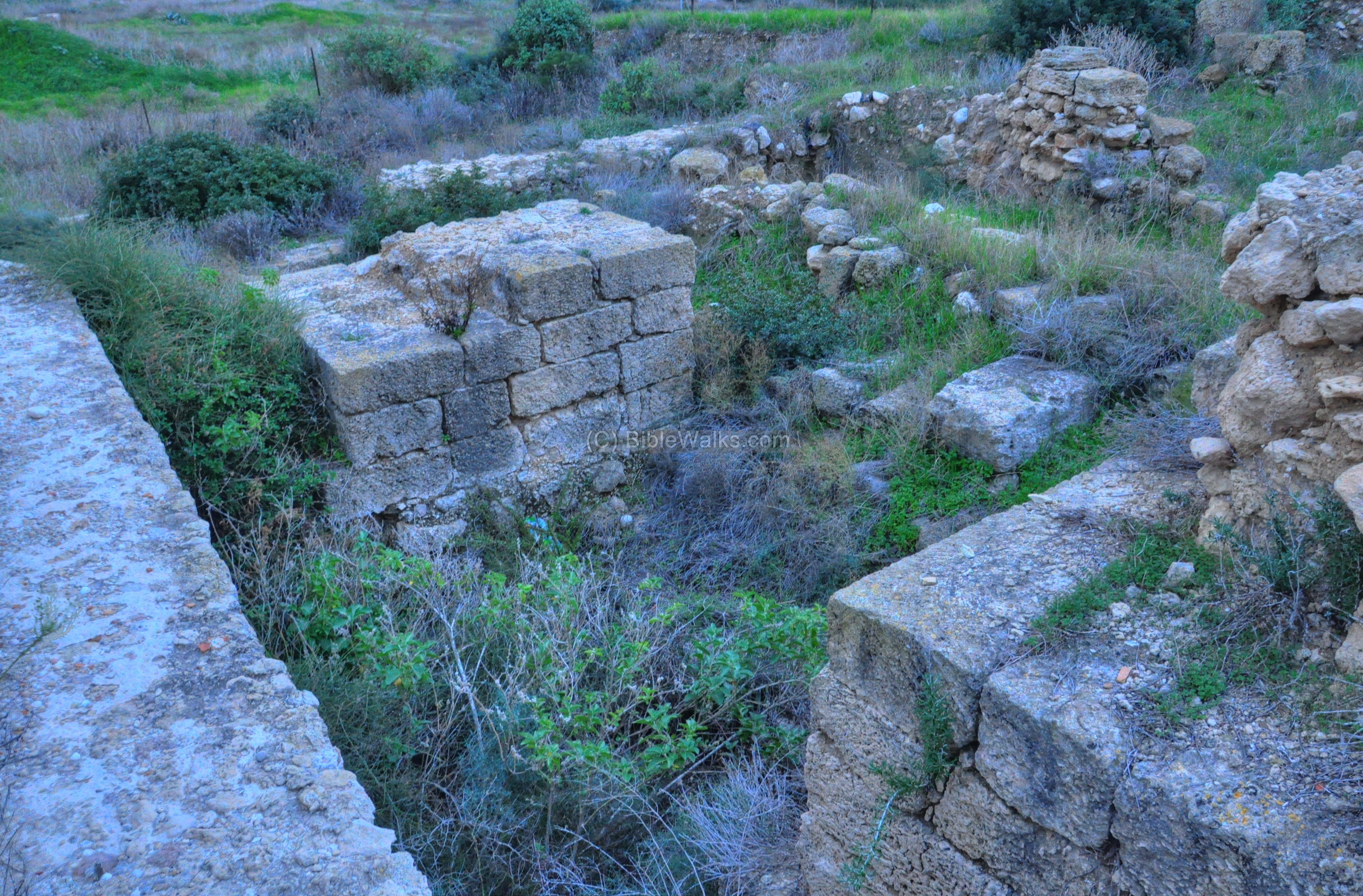
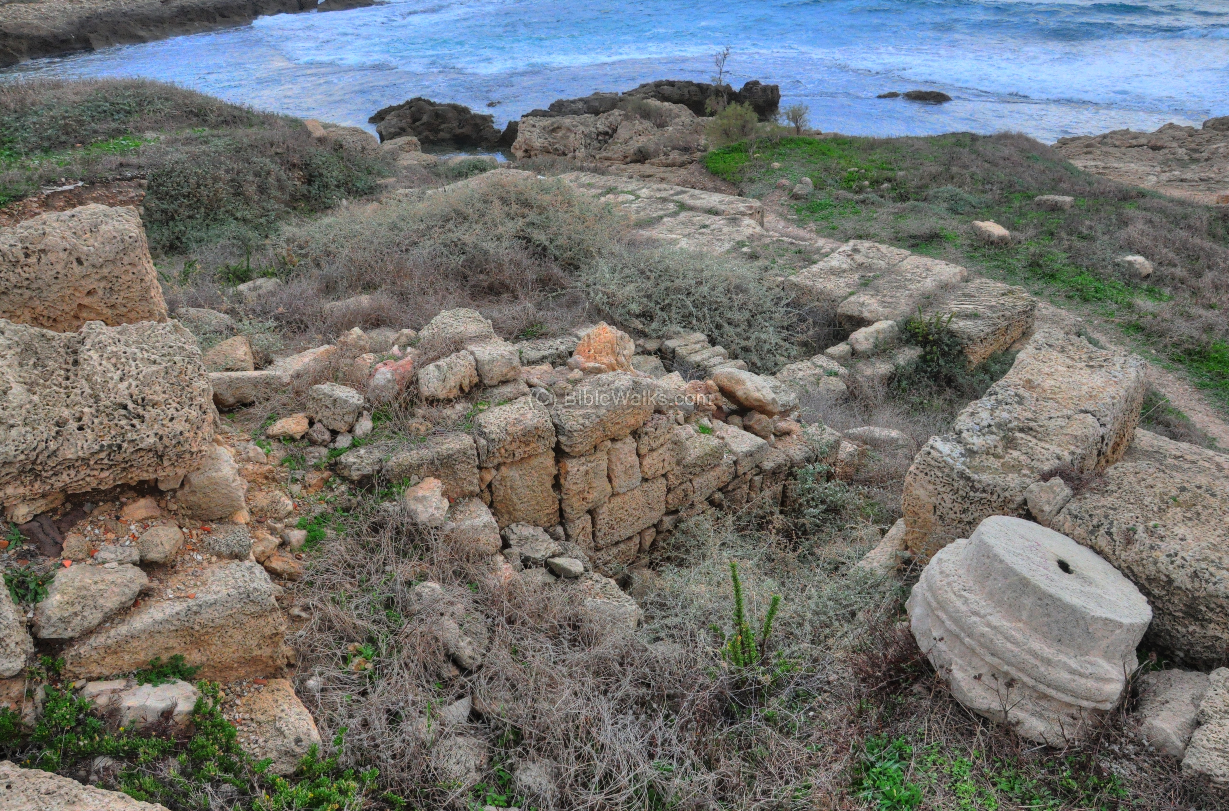
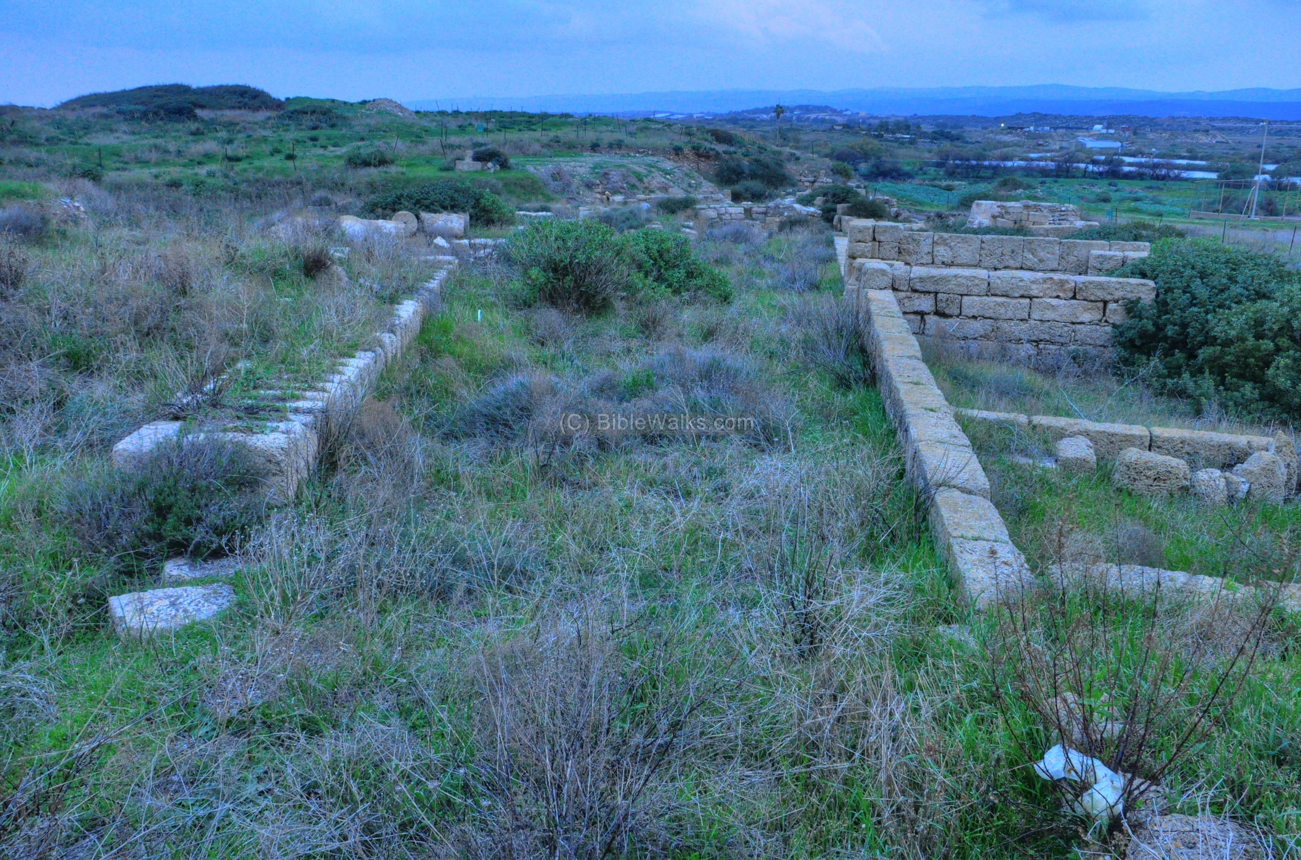
- Area B2 –
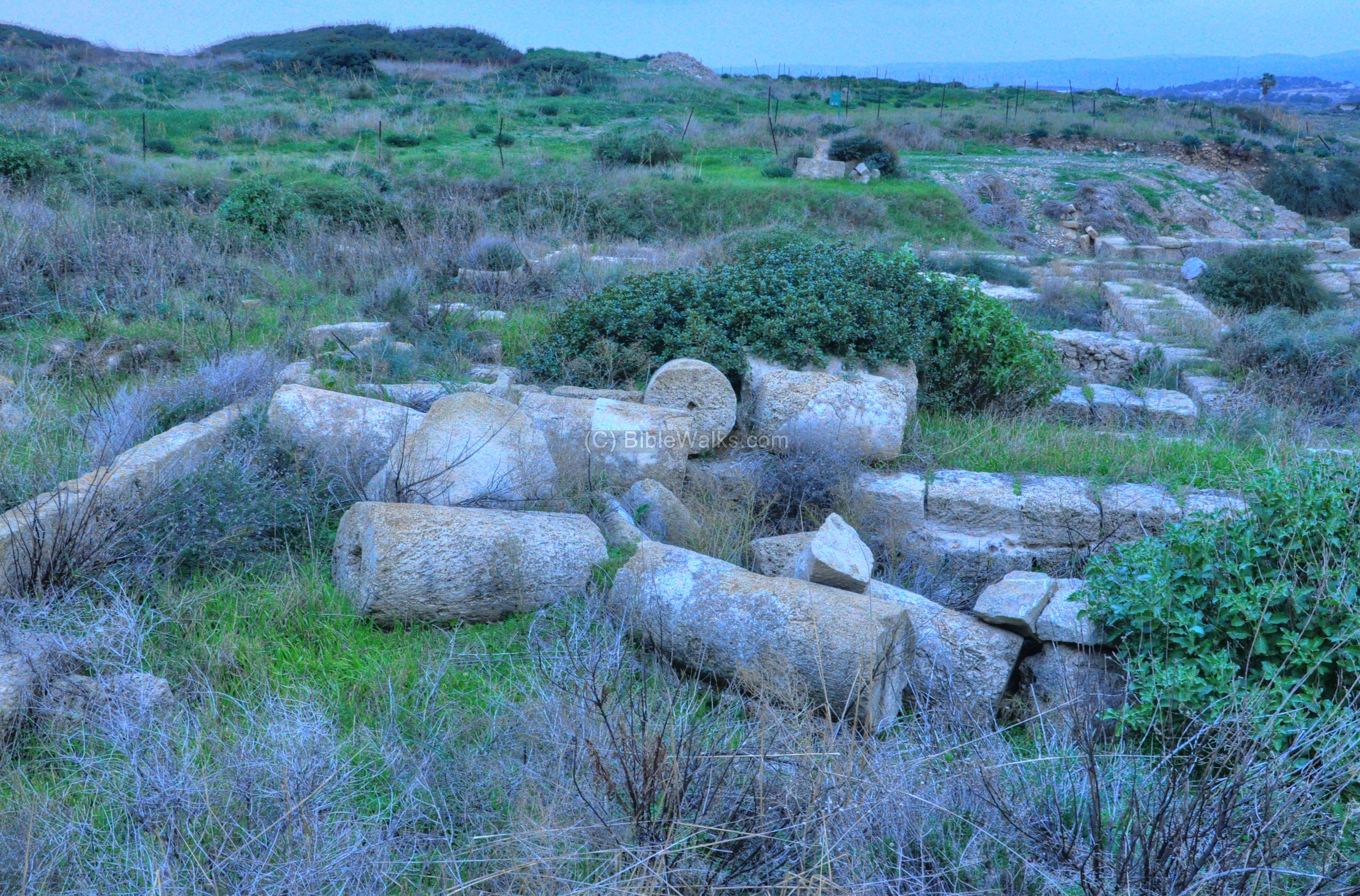
This excavation area, on the south side of excavation area B, is seen below. The pile of columns are part of a Roman monumental structure, a public house that stood near another Roman street.
Another view of Area B2 is seen below, with area B1 seen behind. This was a paved Roman street with houses on its both sides. This street is oriented south-north, running along the eastern wall, and crossing the main colonnaded street at the main gate.
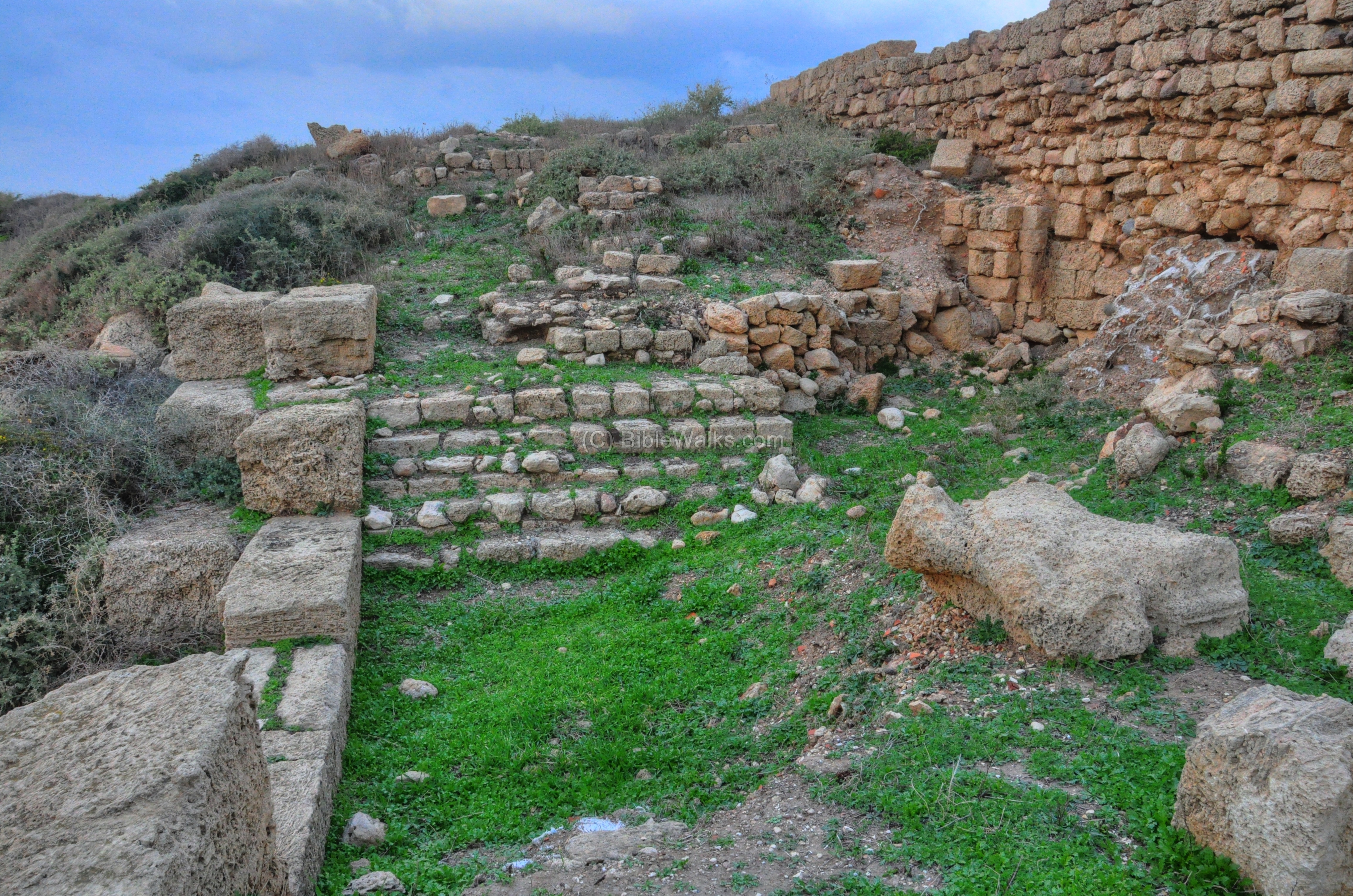
Byzantine Church and Pilgrimage center:
During the Byzantine period the city of Dora was already deserted. However, during the 4th century a large basilica was constructed on the south-east side of the city, and was a seat of Bishops. This huge church (1000m square), located outside of the mound, supported the pilgrims along the road to Jerusalem. The highlight of the church was a fragment from Golgotha and a Saint’s tomb.
The church was excavated (1979-1983) by the French Claudine Dauphin. The design is a triple-aisle basilica, 18.5m long by 14m wide.
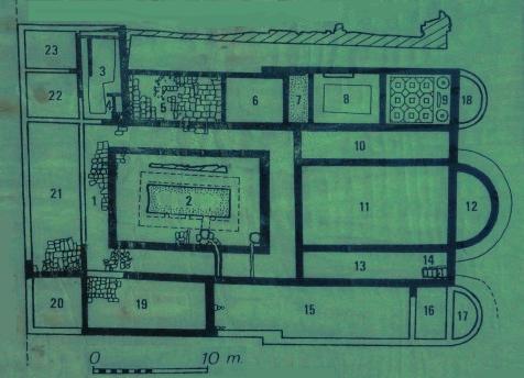
The legend of map of the church (by C. Dauphin) is: 1:peristyle court, 2: cistern, 3:tower, 4:staircase, 5/19: vestibules, 6: antechamber, 7:baptismal, 8: Anointing room, 9: room for celebration of the Eucharist, 10/13: aisles, 11:nave, 12: central apse, 14: Saint’s tomb, 15: external aisle, 17 & 18: south & north apses, 20-23: portico. 24: On the left side of the church – the Cardo – the main north-south road.
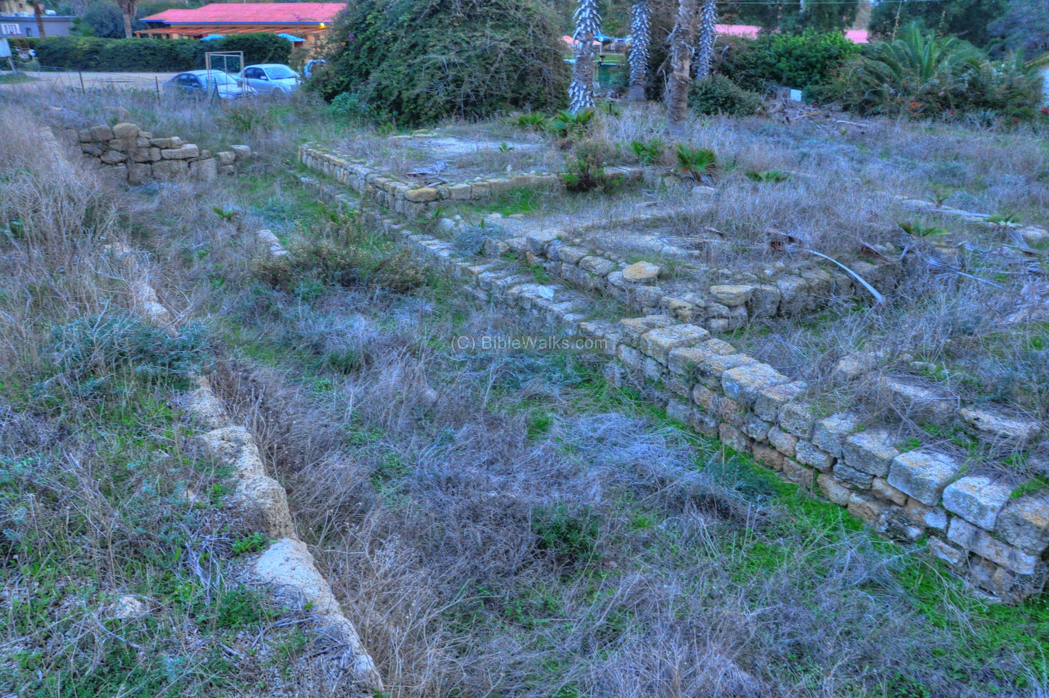
The church is seen below from the east side, where its semi-circular northern apse was located (#18). The eastern side of the mound is seen in the background. On the right side are the remains of the portico of an earlier pagan temple, from the Hellenistic and Roman periods . This was the shrine of Apollo, and parts of it were integrated into the Byzantine church.
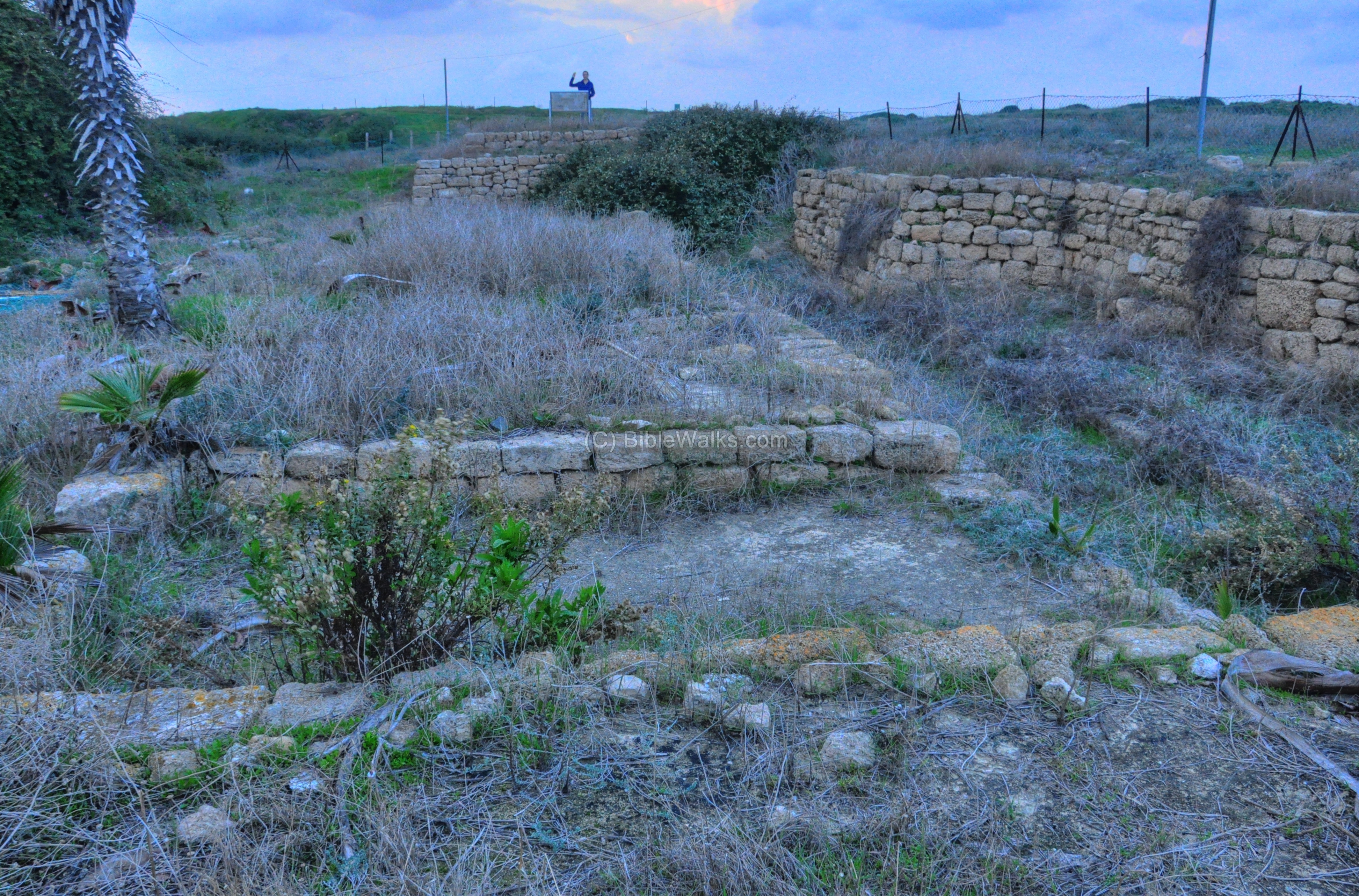
Another view – from the north-west side of the church – is seen below. The southern aisle was damaged by the construction of the Kibbutz houses on the right.
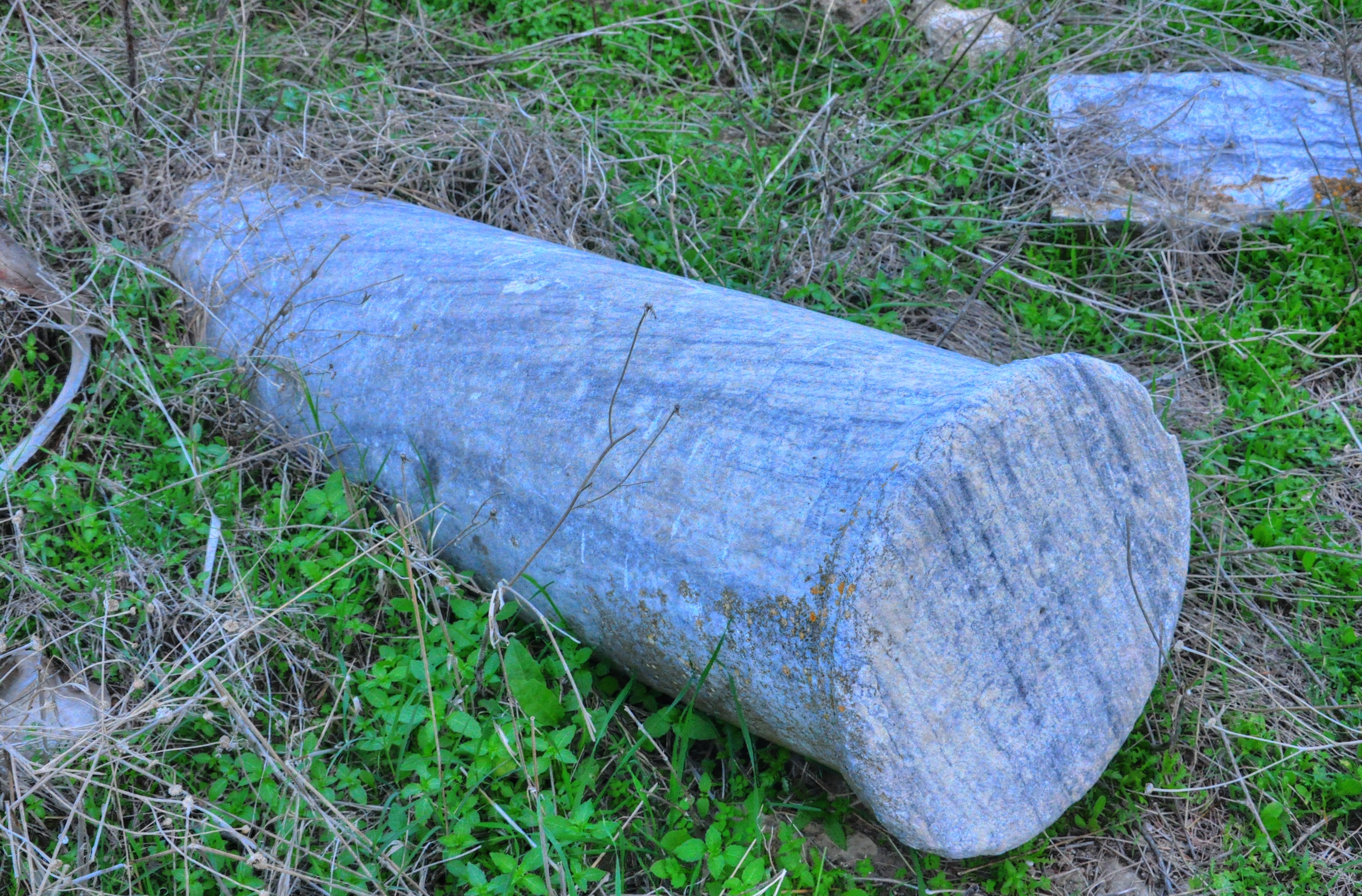
A Greek inscription was found above a depression made on a marble column, and decorated by four crosses. The inscription indicated that a stone fragment from Golgotha was embedded into the column. This was one of the important relics of the church.
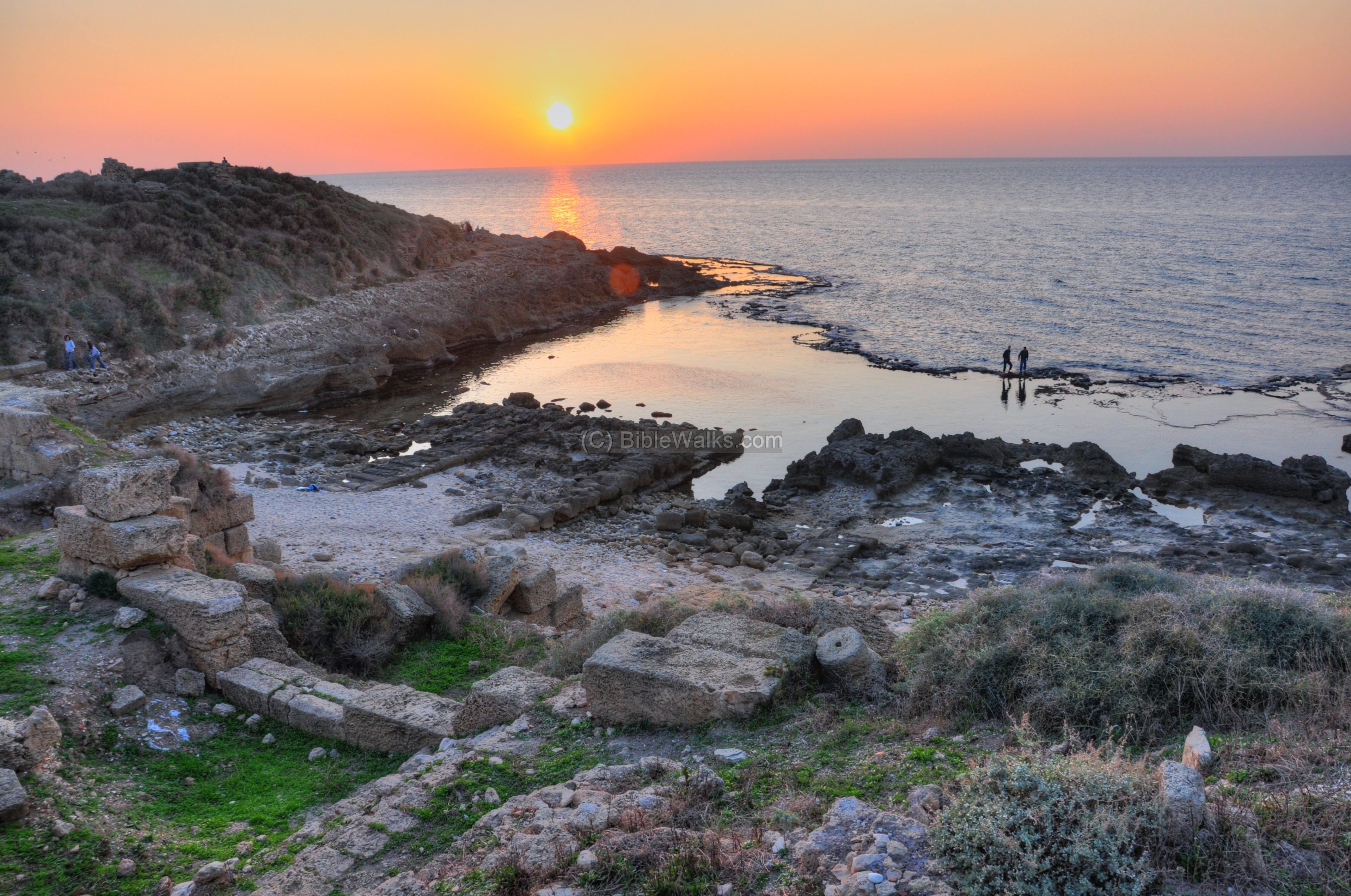
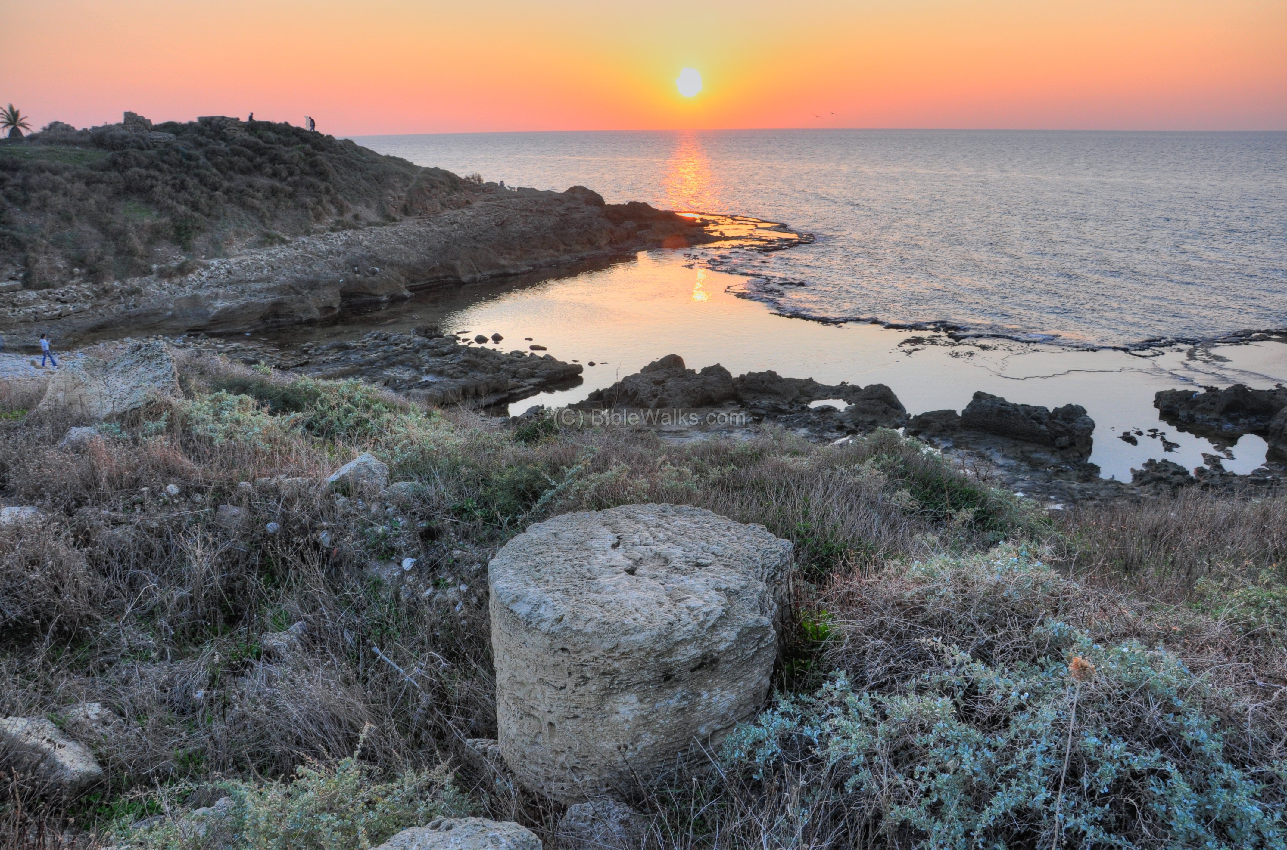
Sunsets:
There are beautiful sunsets at Tel Dor. Many couples come to the shore and admire the romantic atmosphere. Its a perfect place for a beach stroll and social events. We recommend that you come and enjoy this unique mix between nature, history and beauty.
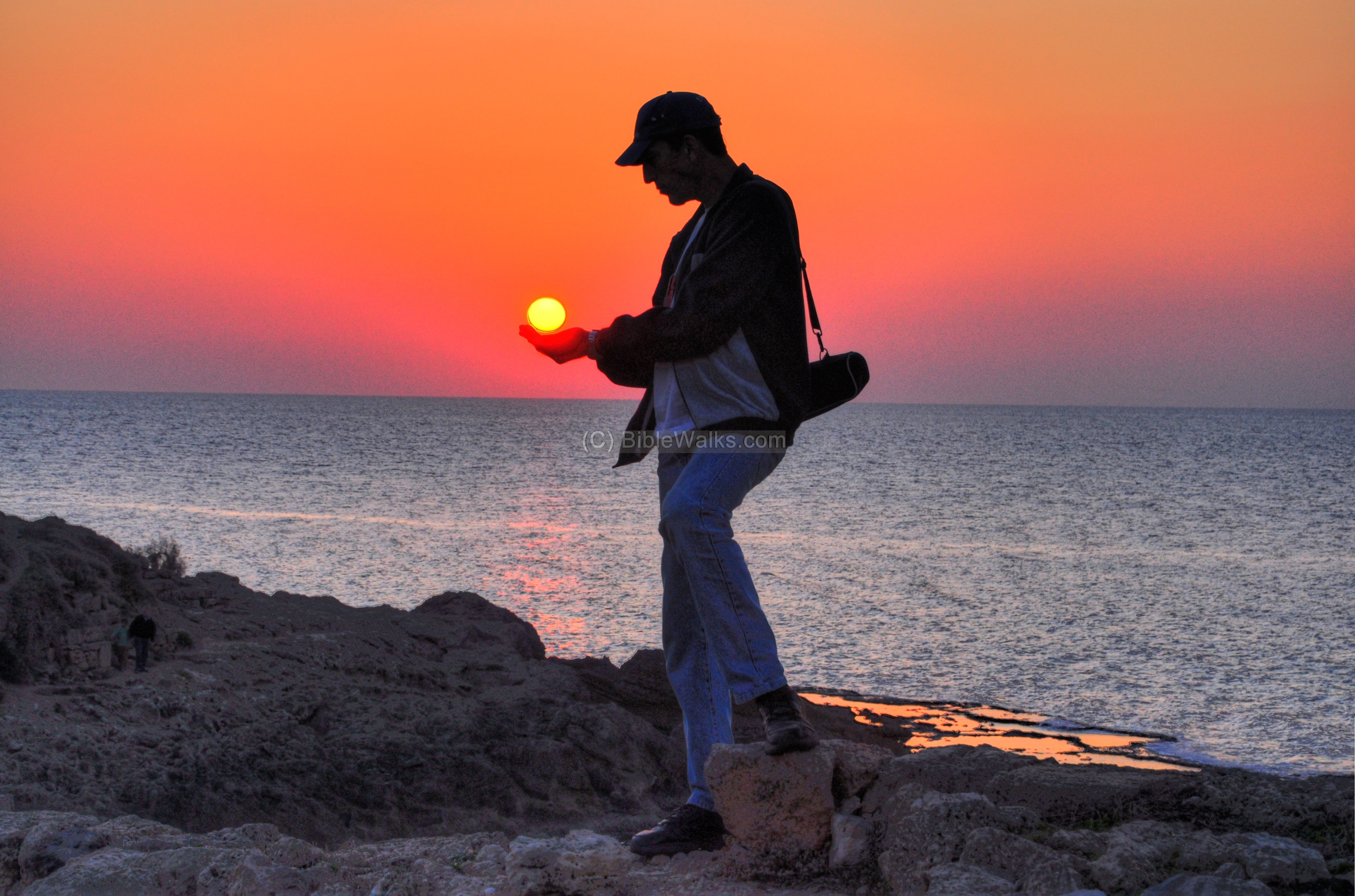
Uncle Amnon, seen below, is trying to “hold on” to the day, but apparently cannot stop the sunset… Another night falls over the majestic city of Dor, as it had being doing for the past 4,000 or so years.
Archaeological References:
* Excavation reports:
- Excavations 2004 (22’nd season)
- Excavations 2005 (26th season)
- Alexander the Great gem – found in Dor
- From Apollo and Asclepius to Christ (excavation of the Byzantine church; pdf)
* Tel Dor sites:
- Tel Dor project (Hebrew University of Jerusalem + Haifa University)
- Tel Dor Archaeological expedition (Berkeley)
* Harbor:
- Dor Harbor
* Internal sites:
- Roman roads and streets
- Dor shore – nature photos
- Quadcopter Aerial views – collection of Biblical sites from the air
Historical References:
- Dor – Summary of 10 years of excavations (Hebrew) – Efraim Stern [ISBN 965-342-588-9]
- Sea People
Etymology – behind the name:
* Names of the city:
- Dor – the Canaanite and Biblical name.
The Hebrew word means: time, generation.
Also, maybe a short form of “Doron” – gift.
- Doros – Greek, Roman – the name of the son of Poseiden/Neptune.
- El-Burej – Arabic: citadel.
- Merle – Crusader’s fortress.
* Nearby sites:
- Nachsholim – Hebrew: breakers, large waves. the name of the Kibbutz on the western side of the mound.
- Tantura – the Arab village south of the site, which was destroyed in 1948. In Arabic – pointed hill, named after the acropolis of Dor.
- Tel, Tell – mound. You can also learn about the story of a Tell in our info page.
BibleWalks.com – sights of the Holy Land sites
Habonim <<<—previous site —-<<<All Sites>>>—next Carmel site—> >> Dor Shore
This page was last updated on Apr 18, 2020 (Add illustration)
Sponsored Links: