This page summarizes the sites that are reviewed in the area of the Negev.
Home > Sites > Negev > Sites Gallery
This page is a sites gallery of the Negev area – located on the south side of Israel.
About the Negev:
The Negev desert is located in the southern part of Israel. It covers 13,000 km2, more than half of the land area of the country. Most of the area is barren and dry, which limited the number and size of the settlements in this harsh land.
The Negev is the southern border of the Holy Land. In the Bible, Negev means the direction “south”. Some of the Biblical events occurred here. Small Israelite settlements were established during the Iron age, by digging wells and collecting the scarce rain water.
During the Hellenistic and Roman periods the Nabateans perfected the irrigation solutions, allowing them to build great cities and fortresses along their trade routes. In the following Byzantine period, vast desert agriculture areas were cultivated around the cities, and supported the Christian pilgrimage to the Holy Land. After the Muslim conquest the Negev declined, inhabited only by limited number of Bedouin nomads.
Following the establishment of Israel, many areas in the Negev area were resettled, historic sites were rediscovered, and its unique nature and geology wonders are gaining popularity.
Links to the sites of the Negev desert:
On each site below you can:
- read a short summary (above the picture)
- read the biblical reference (below the picture)
- click on the title to get to the review of that site.
- click on the photo to see the picture at full resolution.
- Also check the Negev sites maps.
- Ruins of a Roman fort in the Arava, north of Timna. A British police station was built over the ruins. The site may have been one of the stations of the Israelite exodus.
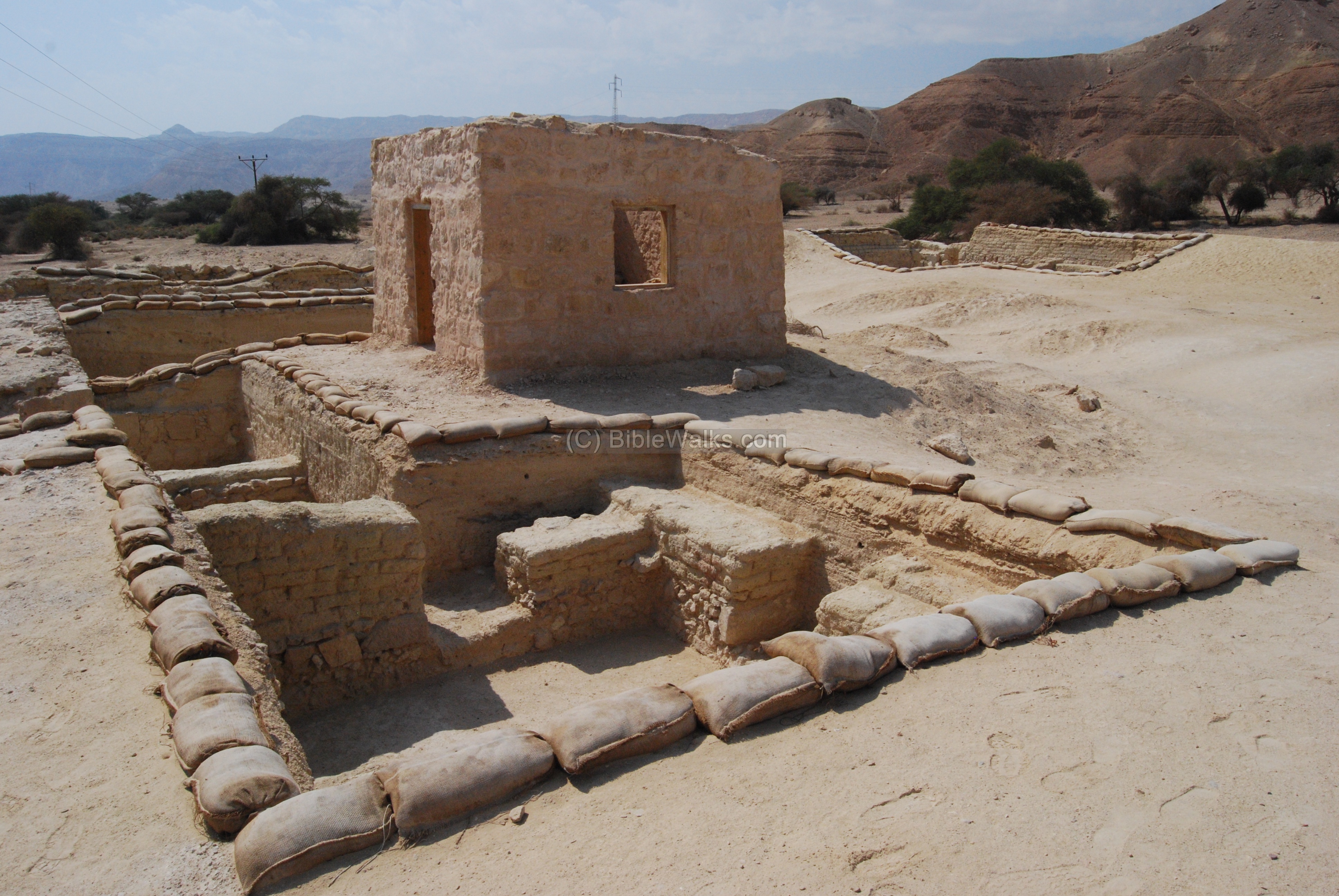
- Deuteronomy 10, 7: “From thence they journeyed … to Jotbath, a land of rivers of waters”.
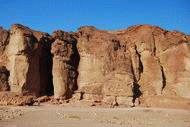
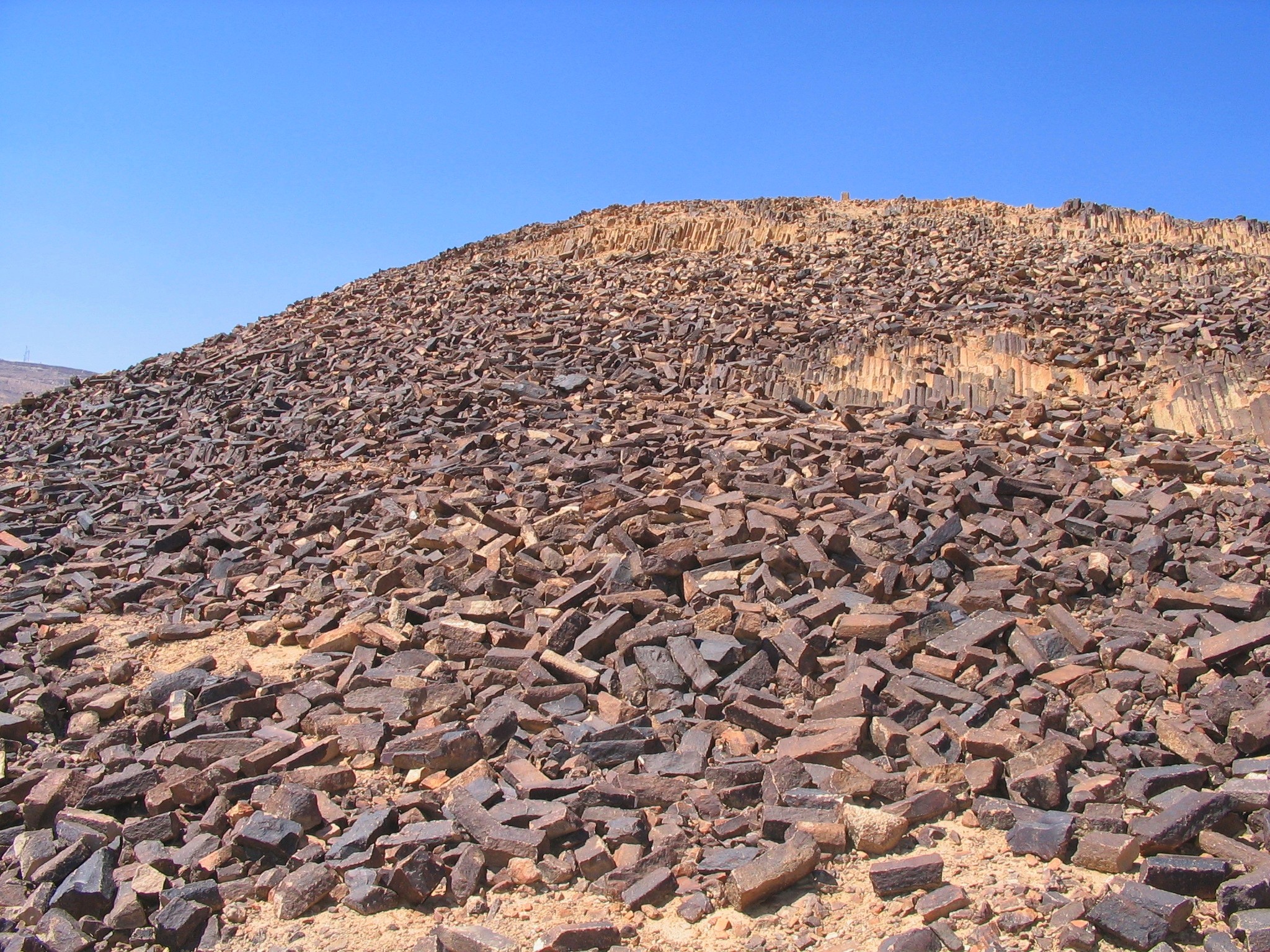
- Impressive red rock sandstone hills, located in the center of the Timna park . The ancient Egyptian copper miners erected here a temple in the times of Ramses III.

- Zechariah 6,1: “… and the mountains were mountains of brass”.
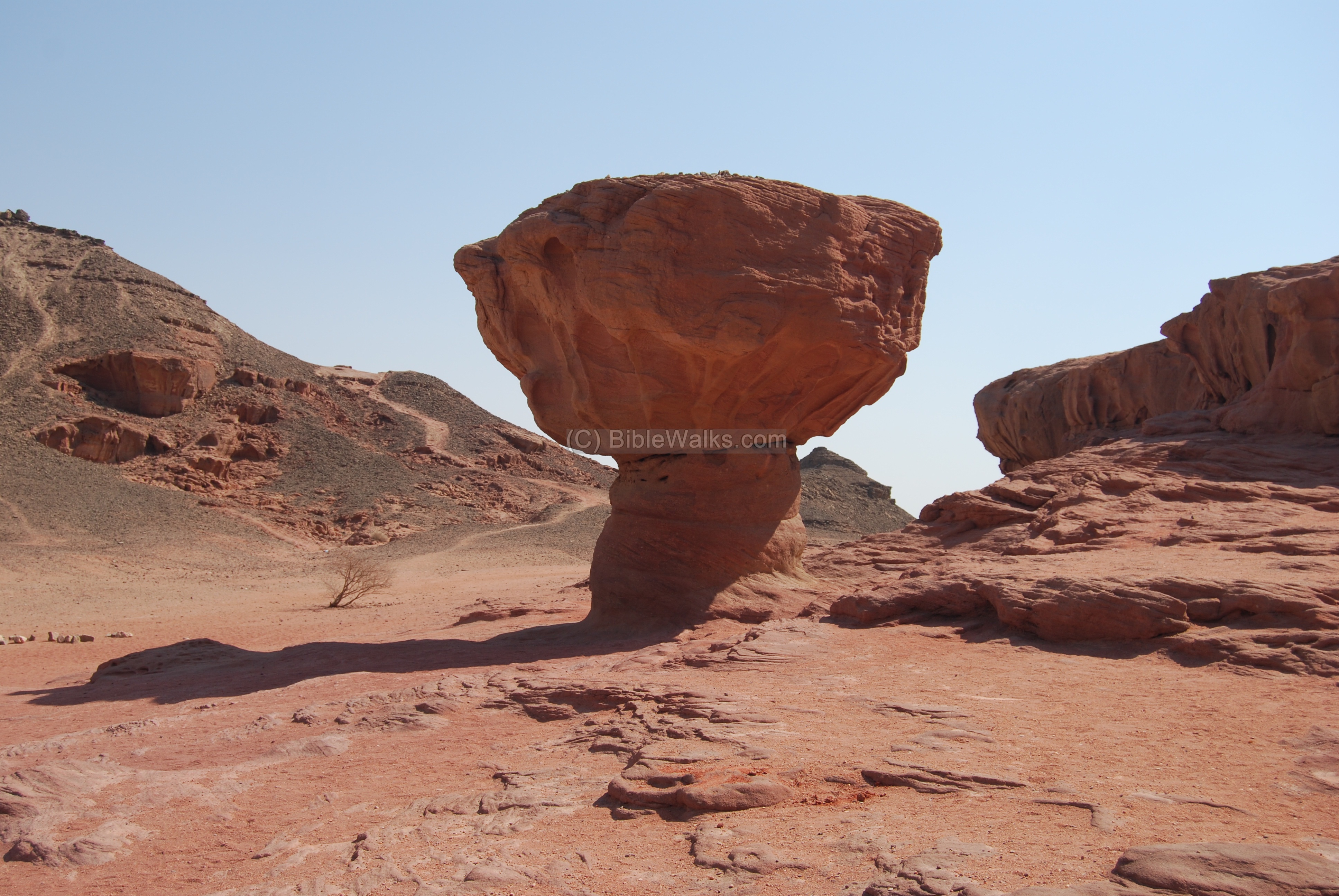
- A geological, nature and history desert park, the center of an ancient Egyptian copper mines. In the site are mining workshops, camps and installations, shrine and rock drawings.
- Eilat is the southern resort and port city in Israel. Nearby, on the Jordanian side, was the location of Eloth, a major ancient city for 3,000 years, which included King Solomon’s sea port of Etzion-Geber.
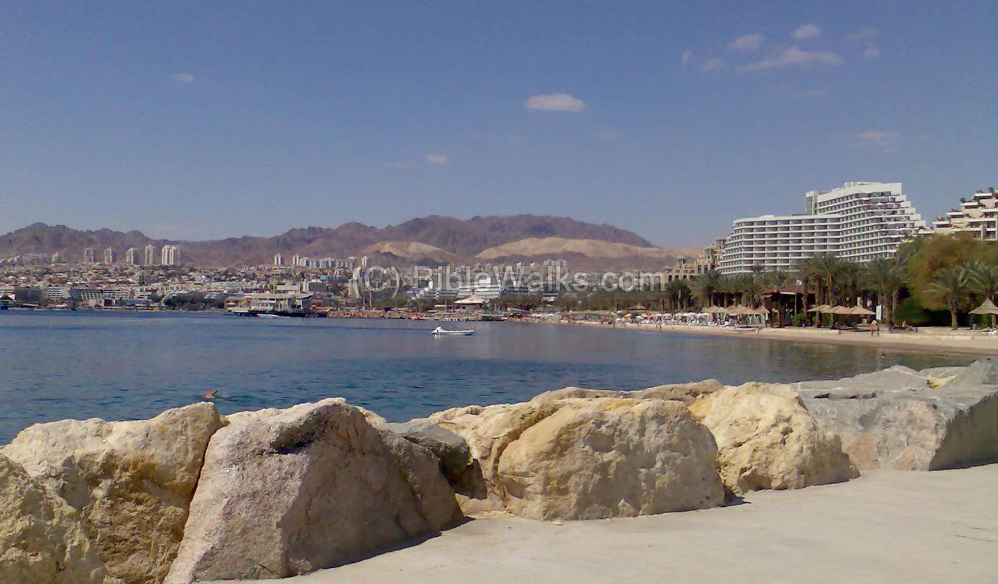
- 1 Kings 9 26: “And king Solomon made a navy of ships in Eziongeber, which is beside Eloth, on the shore of the Red sea, in the land of Edom”
Ramon crater – “Saw Mill” and colored sand
- Geology sites inside the Ramon crater.
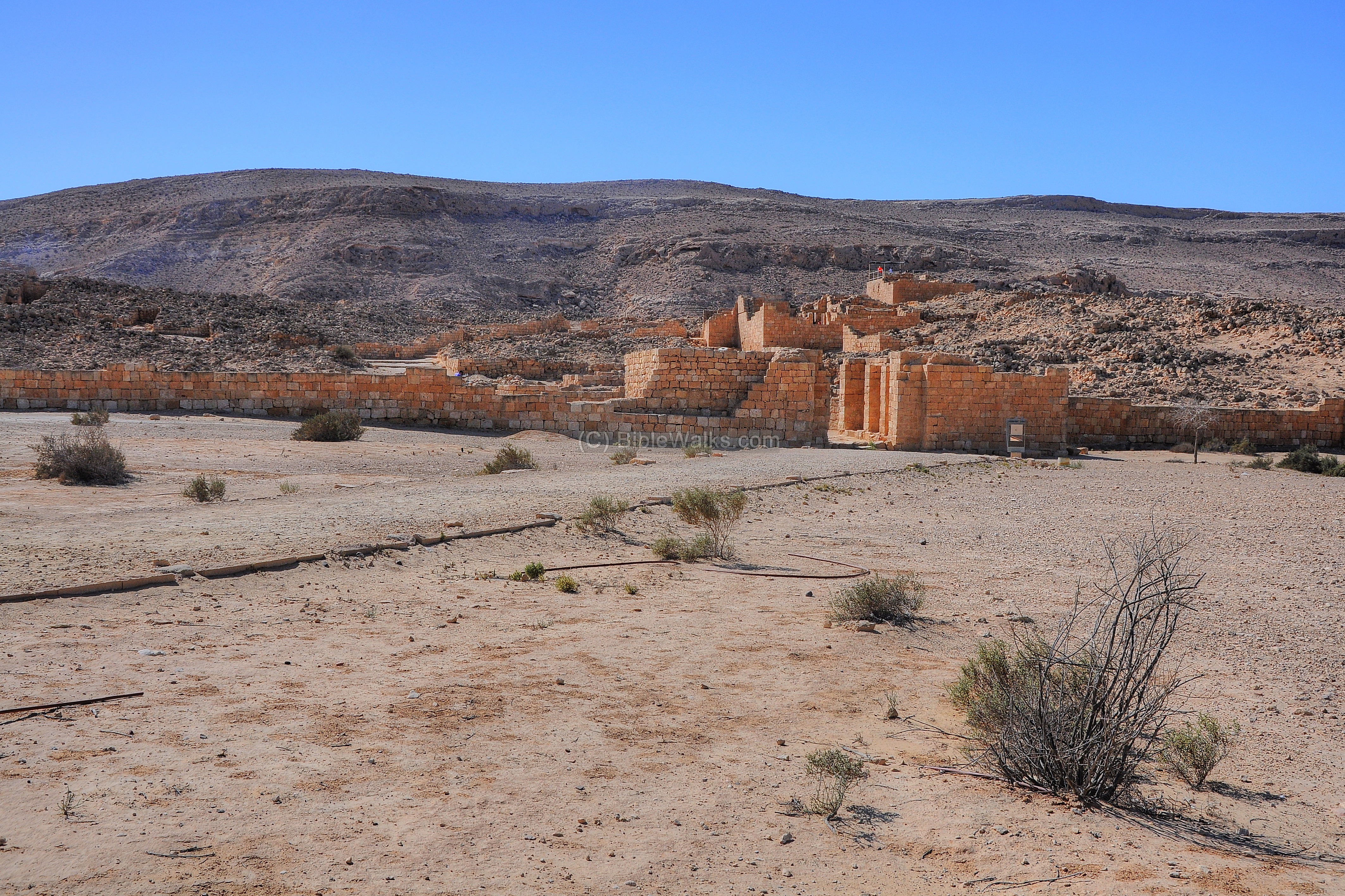
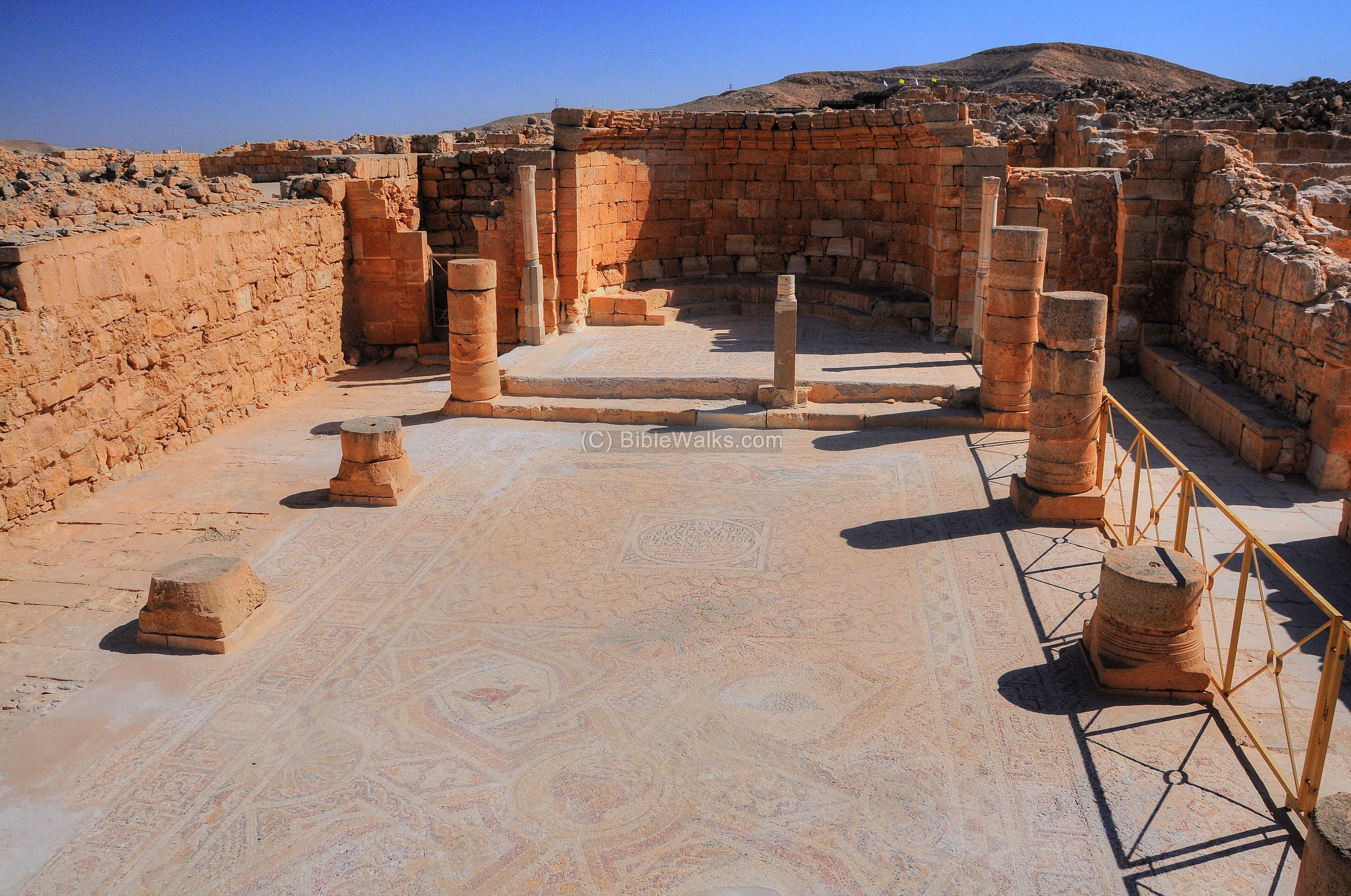
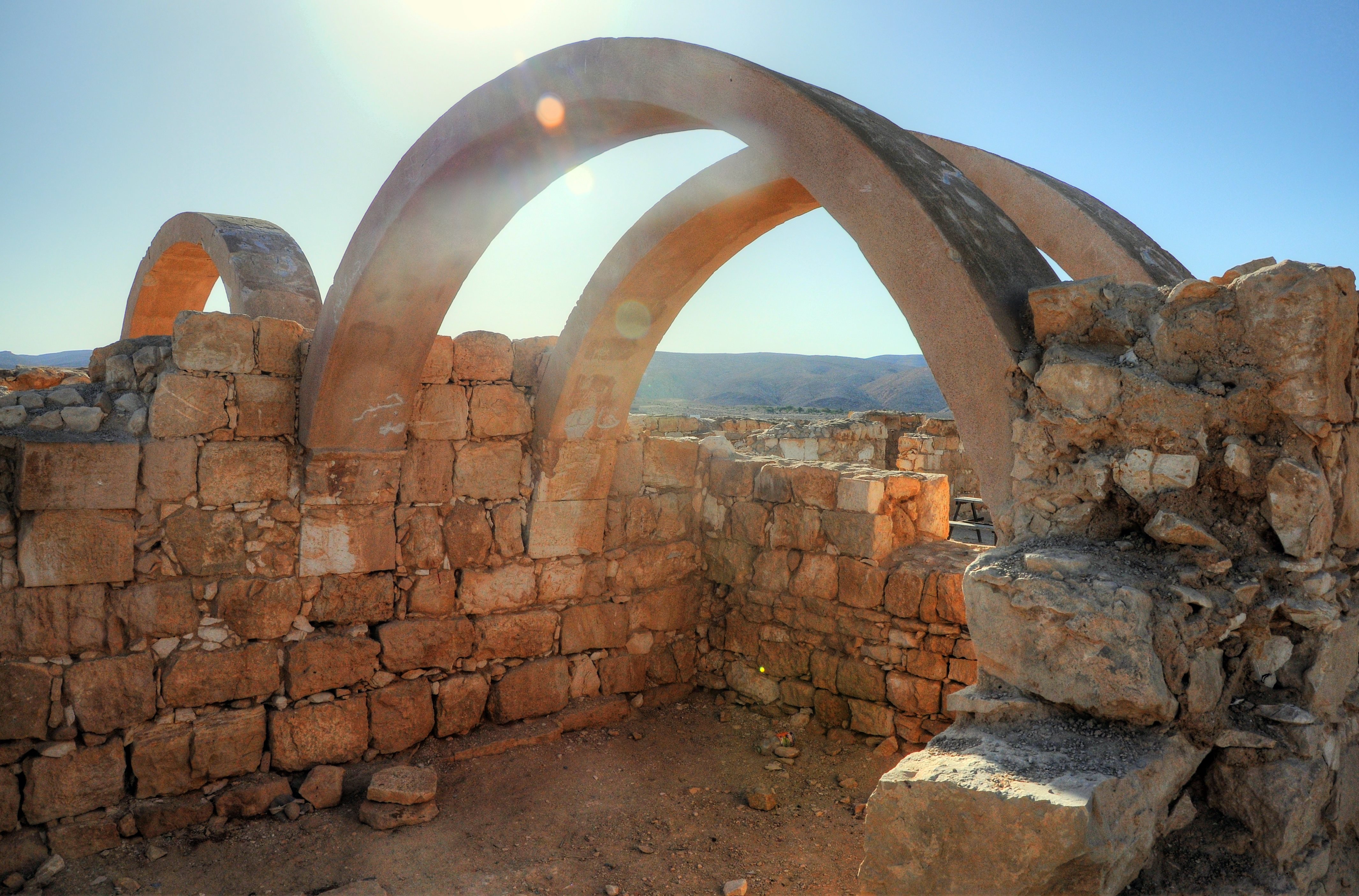
- A Nabatean city on the Incense Route, which became an impressive desert city during the Roman and Byzantine periods.
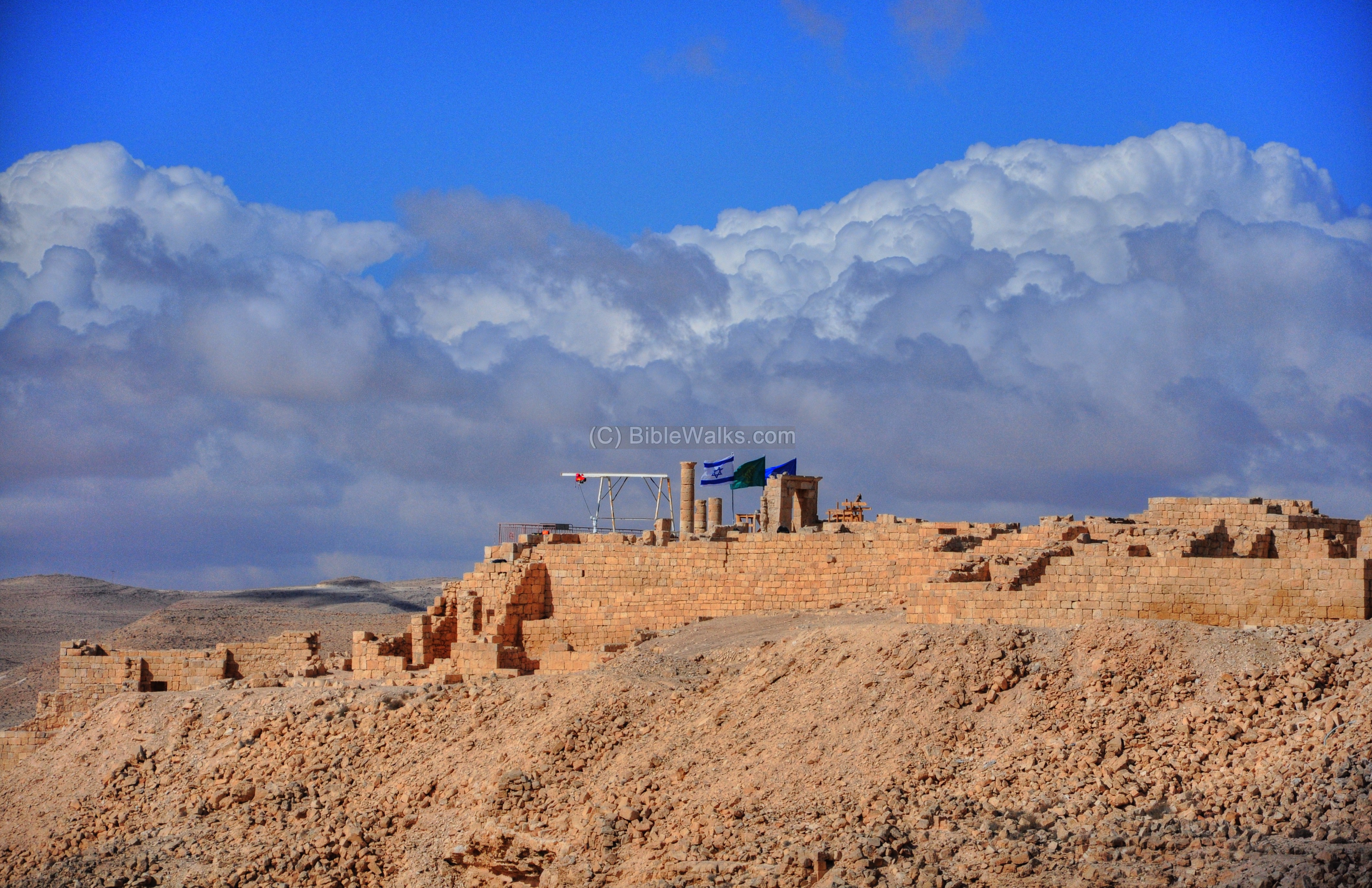
- Impressive ruins of a Nabatean, Roman and Byzantine city in the Negev desert. A UNESCO world heritage site.
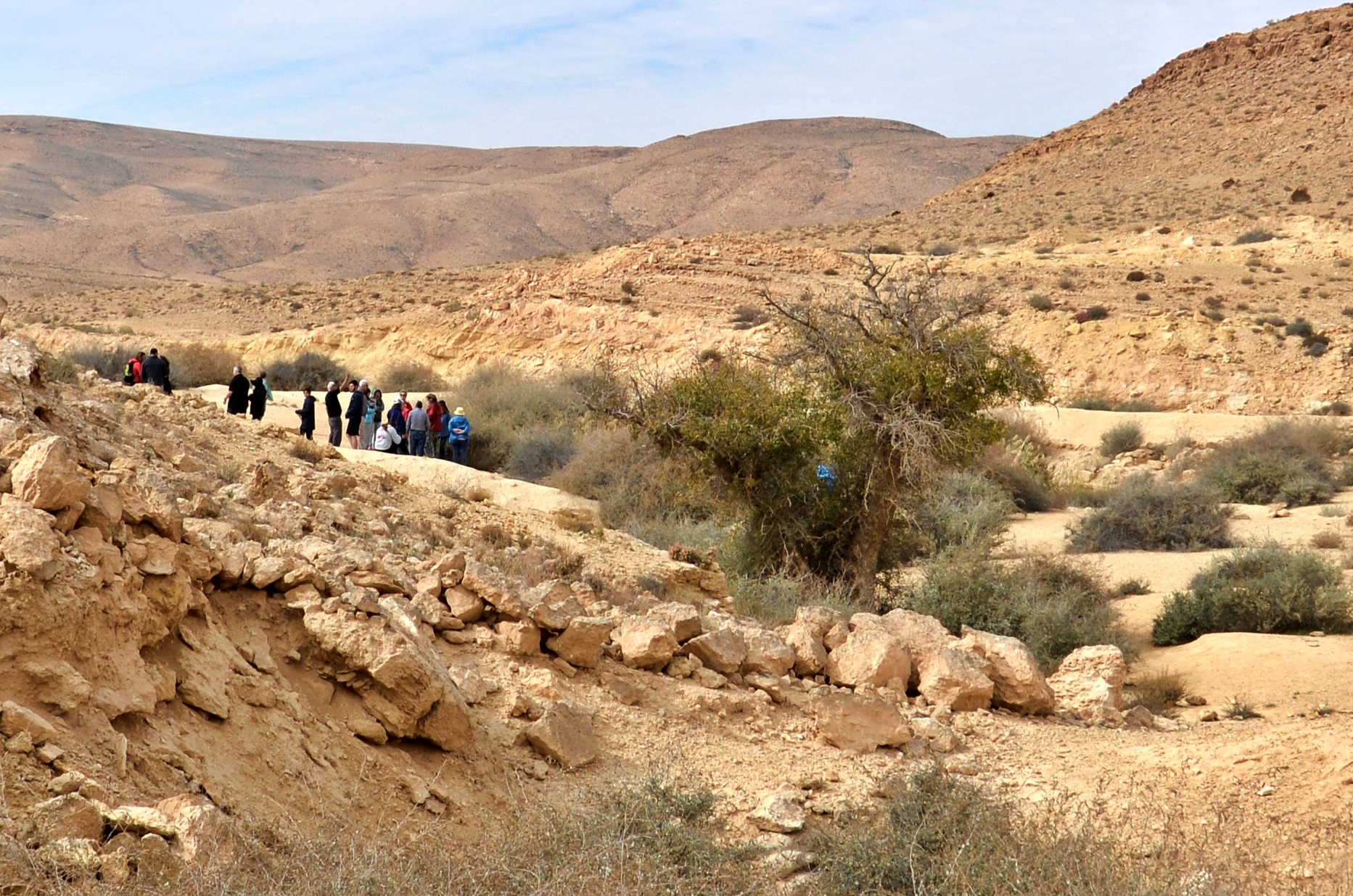
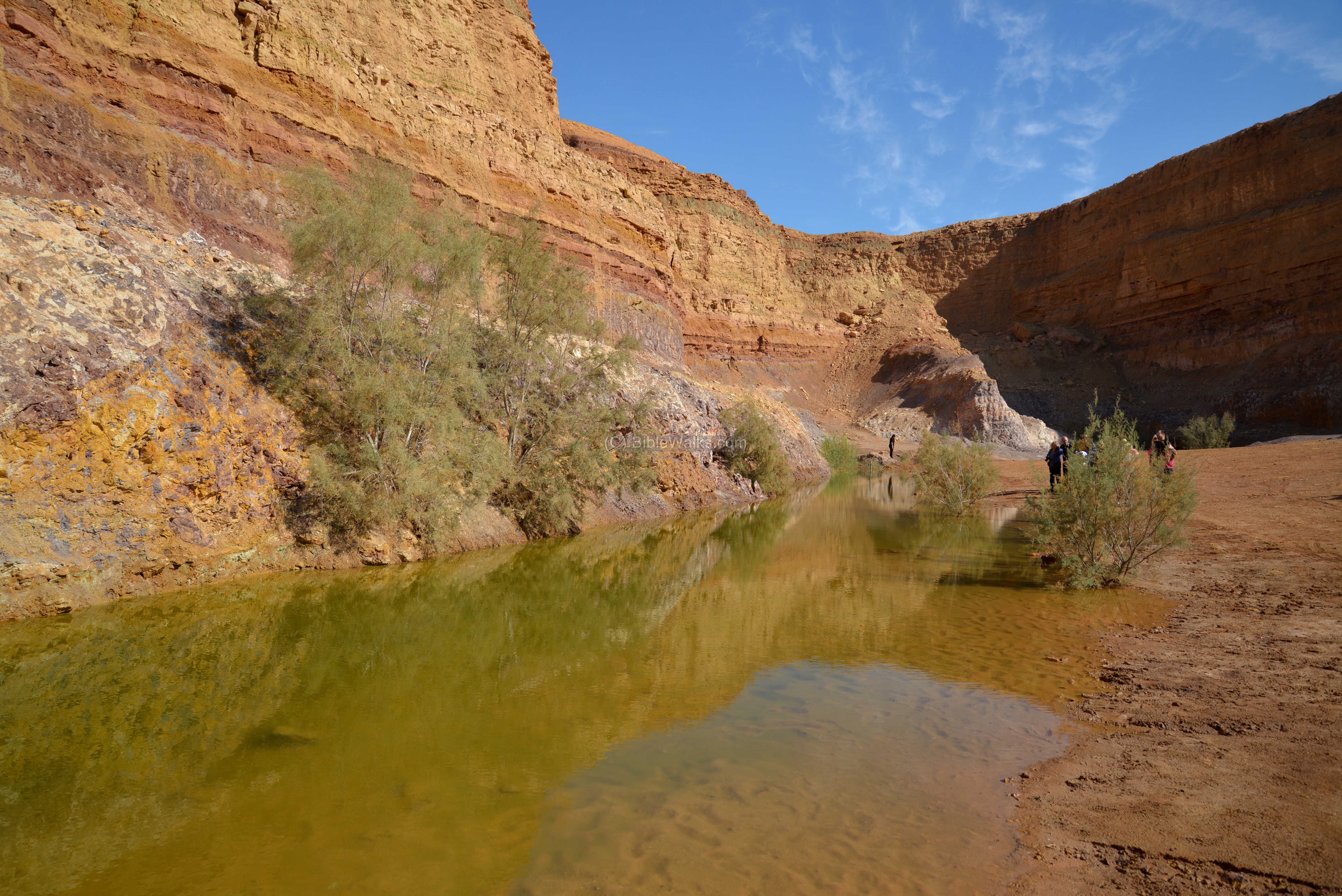
- A desert Oasis named after Moses and Aaron. Remains from the Bronze and Iron Age periods, Nabatean period, and Ottoman railway.
- Deuteronomy 10:6: ” And the children of Israel took their journey from Beeroth of the children of Jaakan”.
- Nitzana (Nessana) was a Byzantine desert city, located on the south-west frontier of the Holy Land. Founded as a Nabatean fortified station along the Incense route, then developed in the Byzantine period.
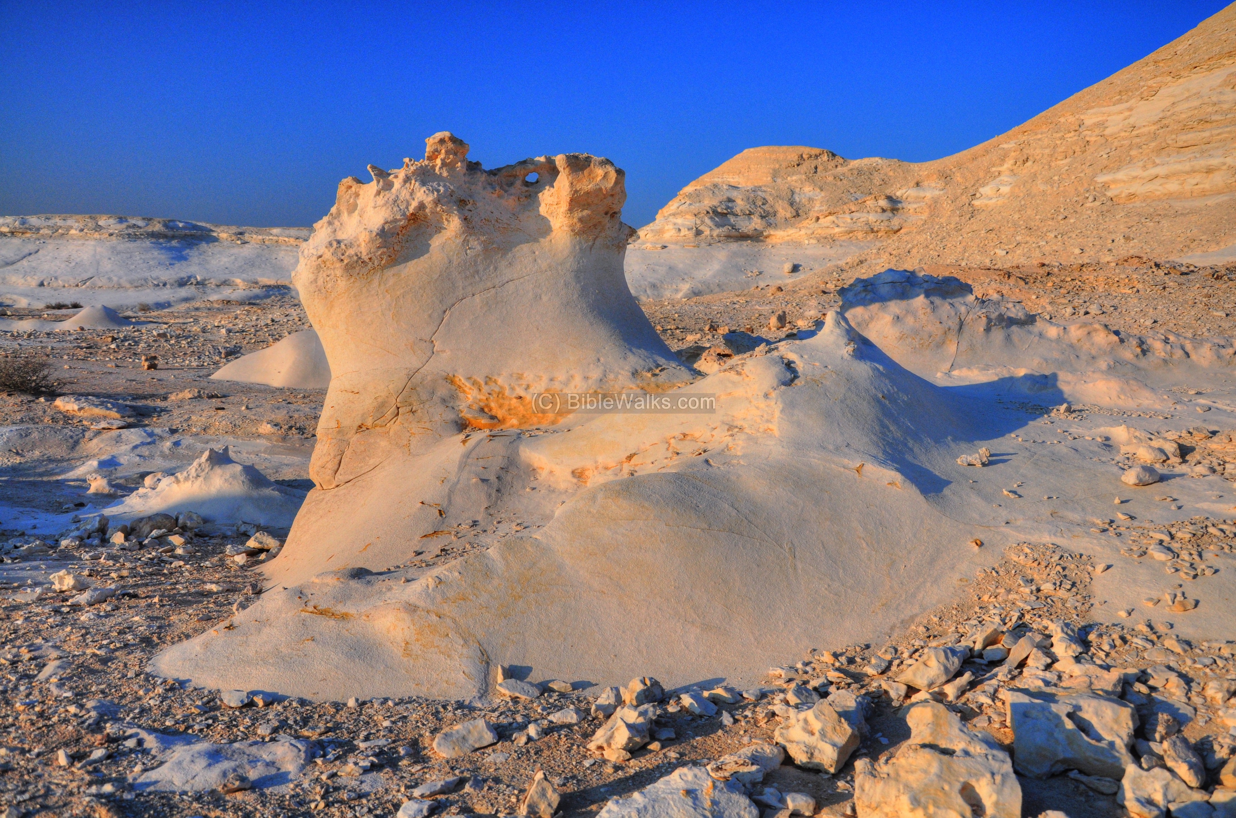
- A geological wonderland, with smooth white rock formations, in the western Negev desert.
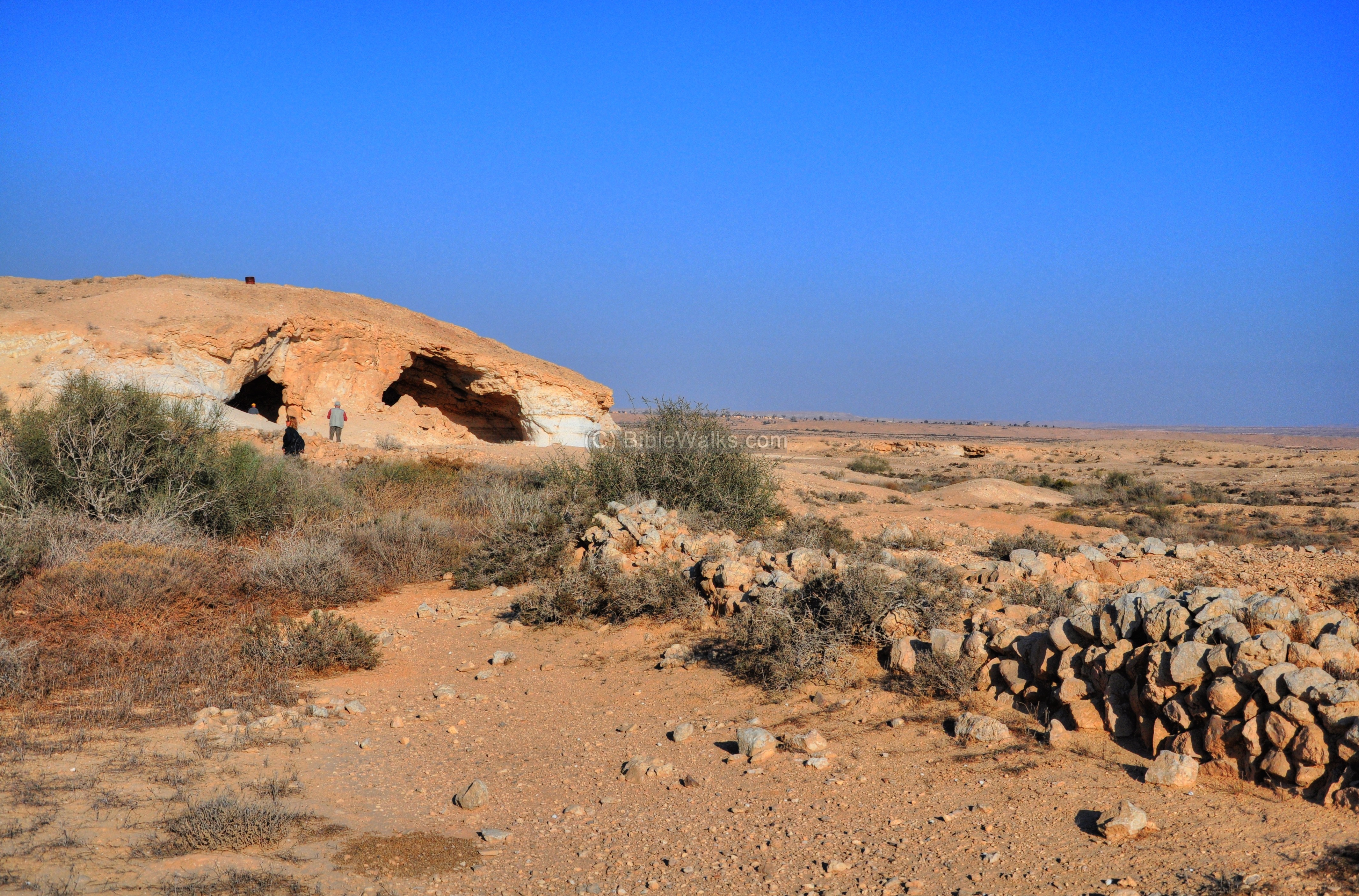
Nitzana Cave, Nabatean ancient desert farming
- Nabatean quarry cave and ancient farming lands, located south of the ruins of Nitzana.
- An ancient Nabatean, Roman and Byzantine city situated along the Incense road.
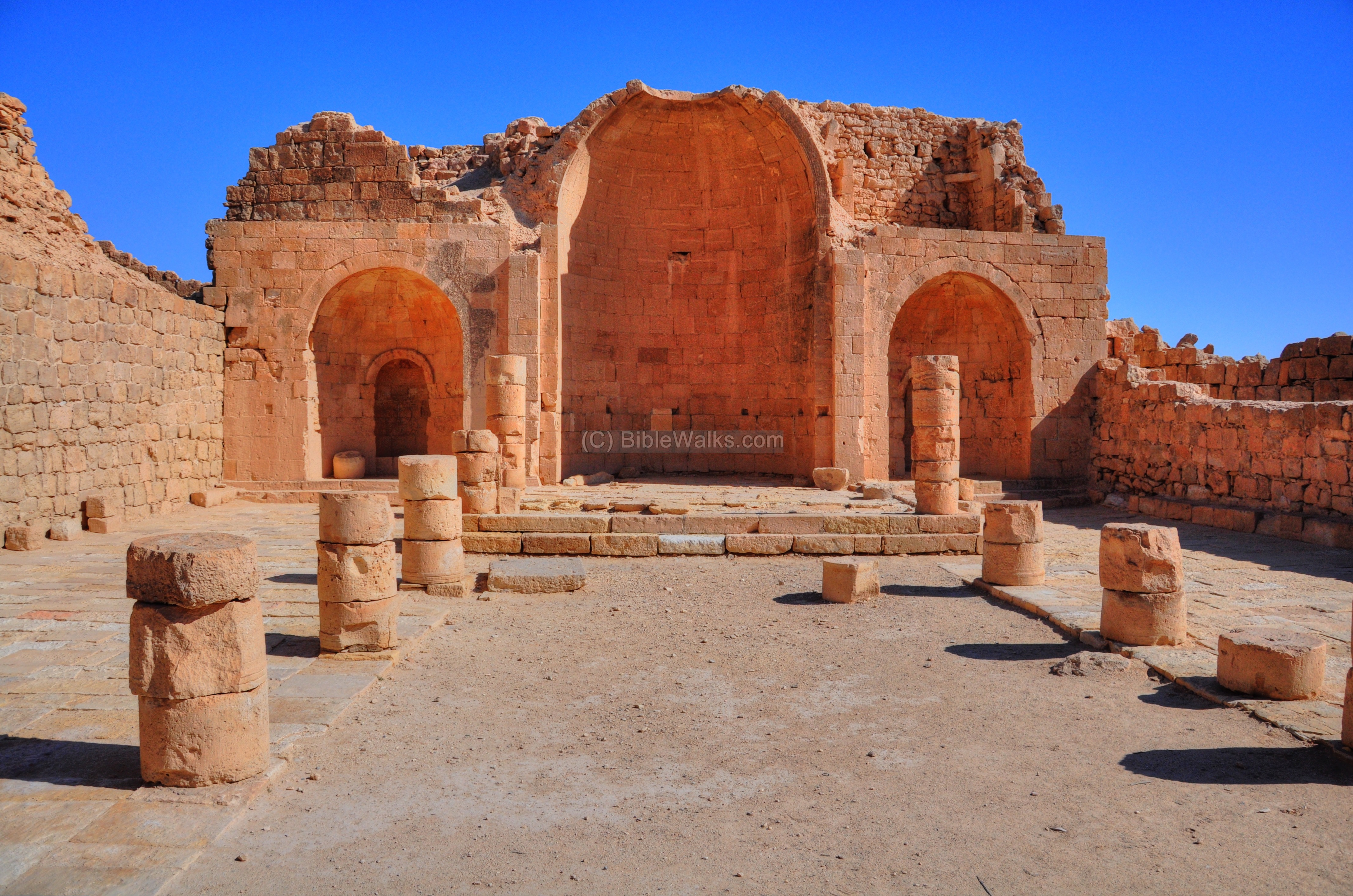
- Two great Byzantine churches in the desert city of Mamshit.
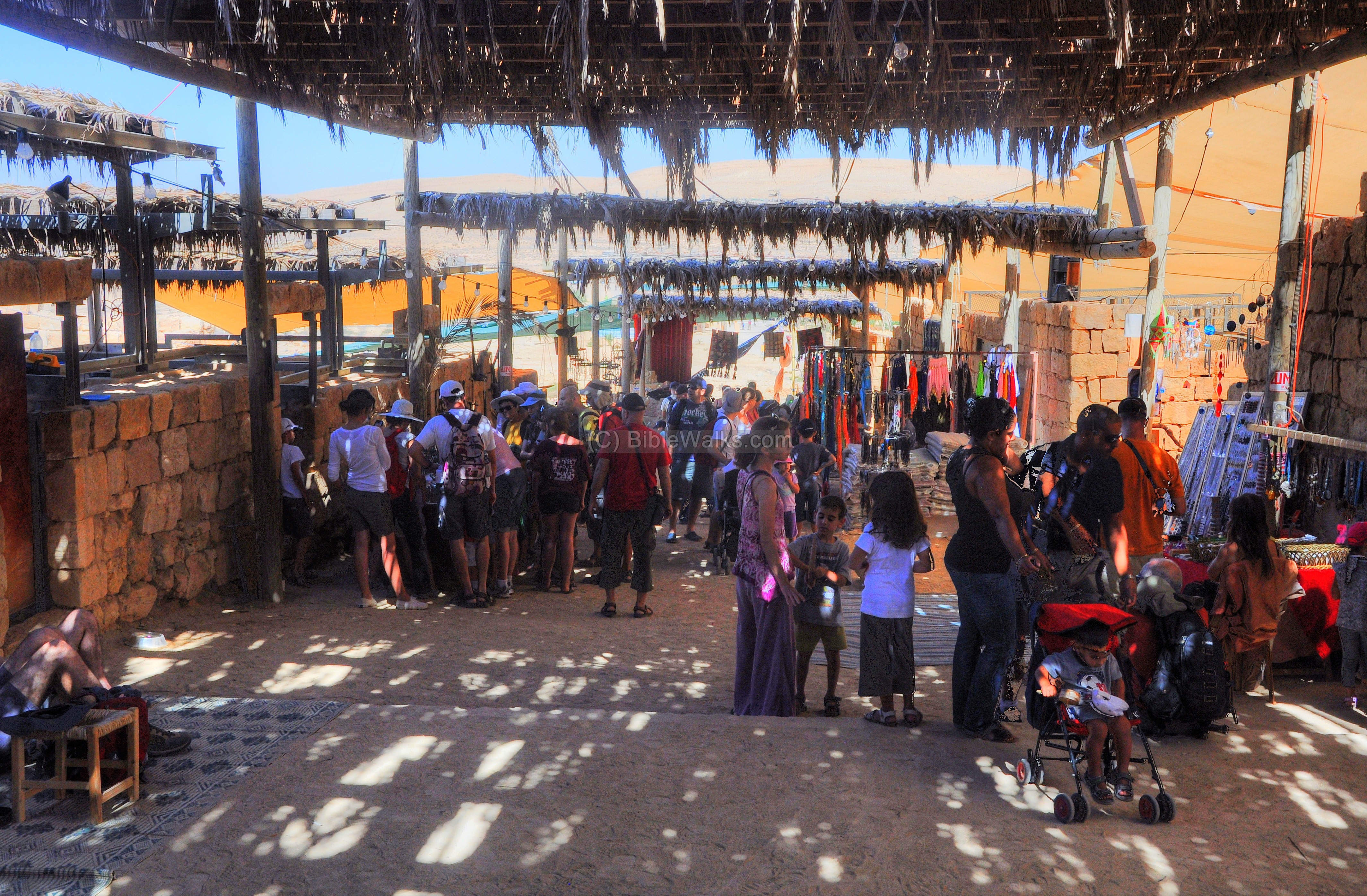
Mamshit – Market & Nabatu House
- An ancient market and the house of a rich Nabatean family becomes alive again during Mamshit festivals.
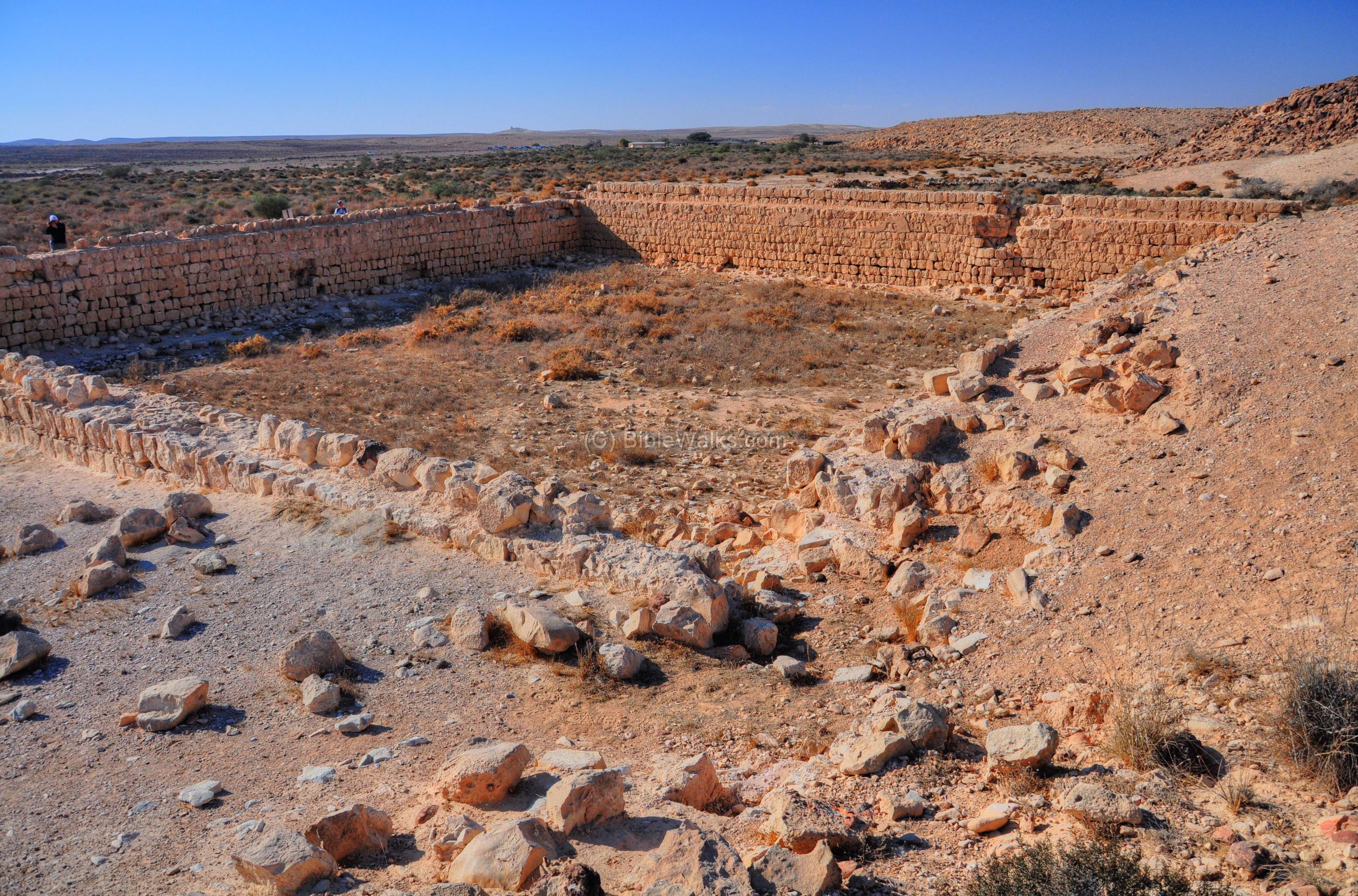
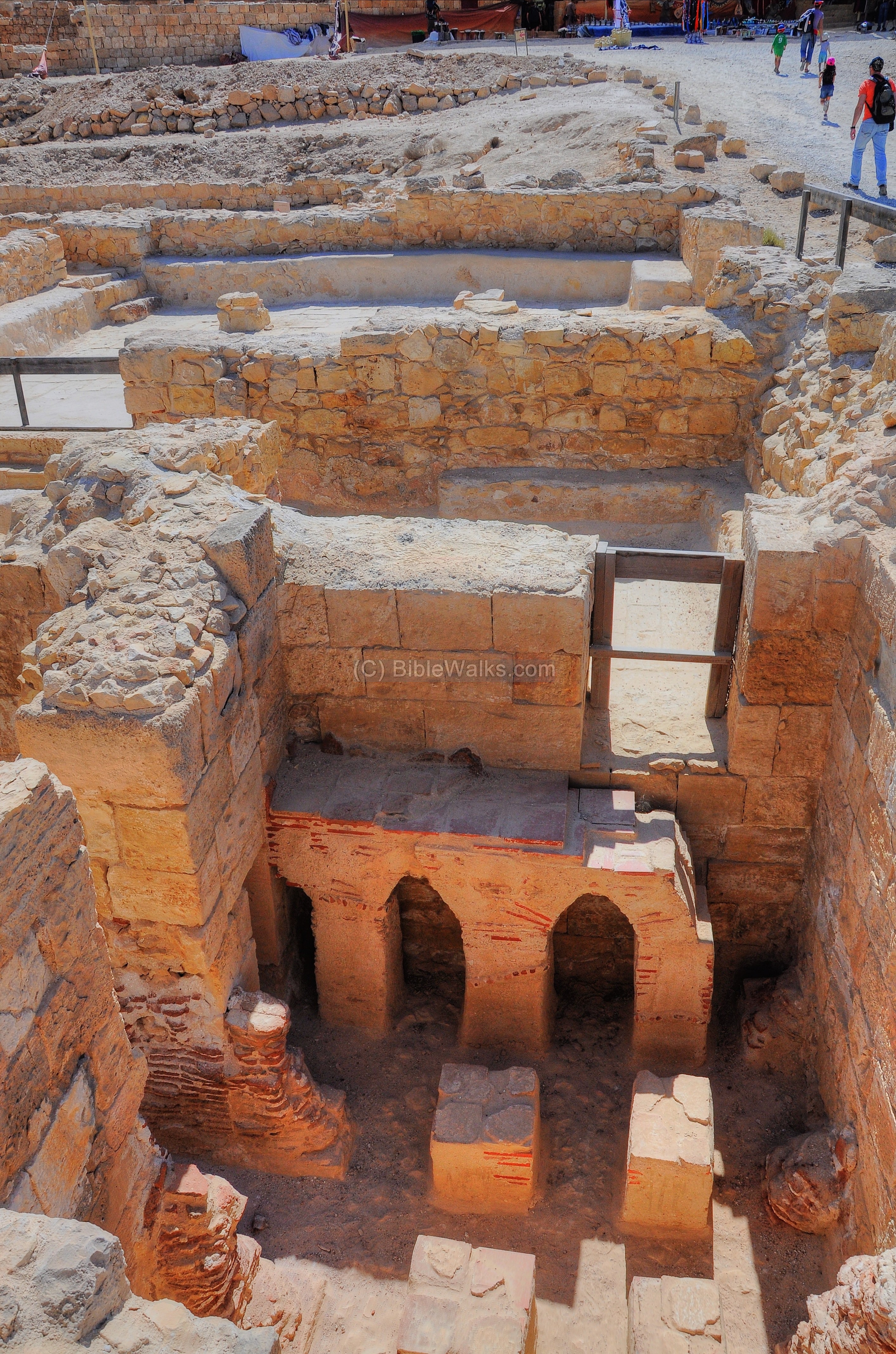
- Large public water reservoir and a Byzantine bathhouse on the south-eastern side of Mamshit.
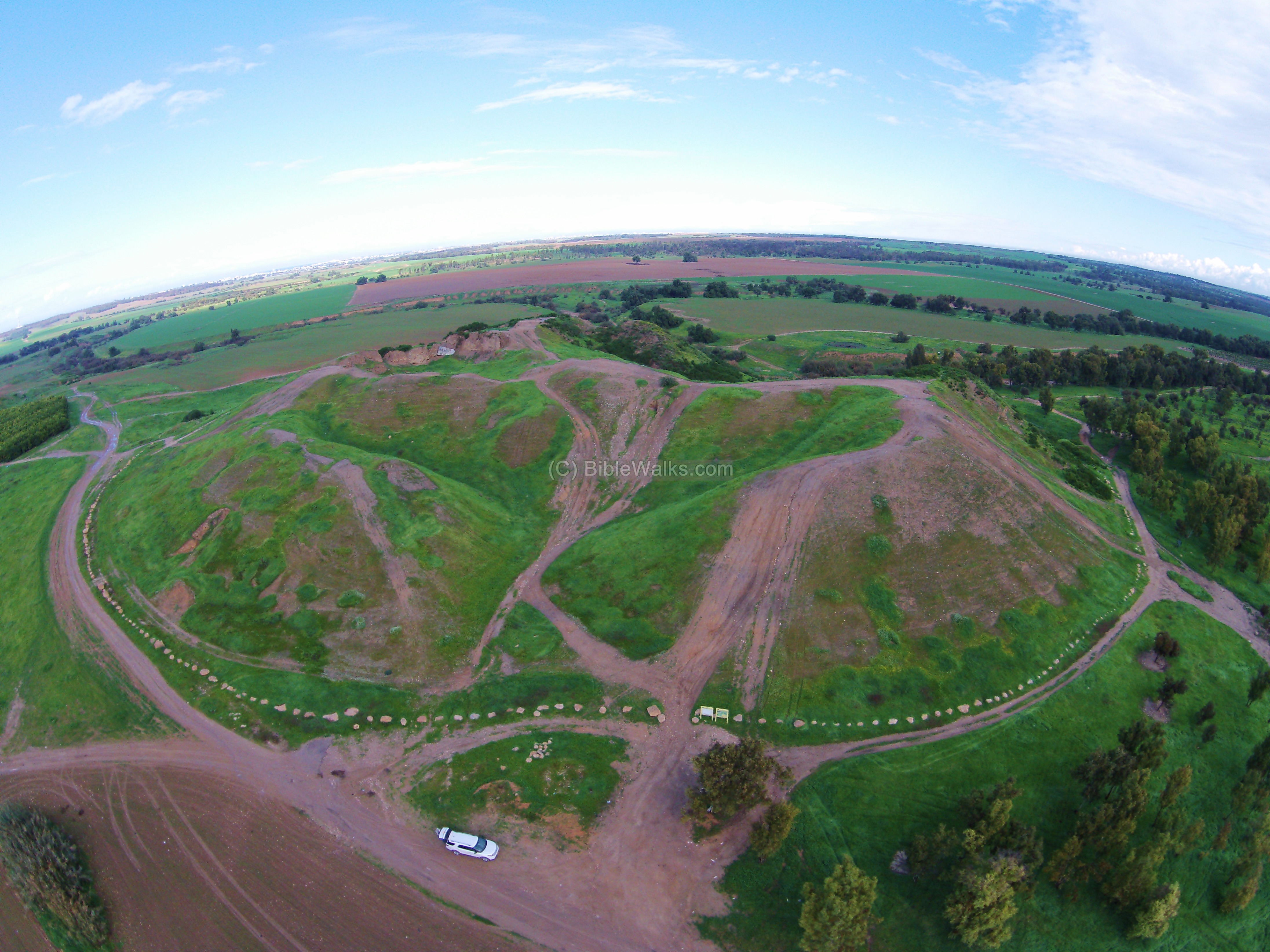
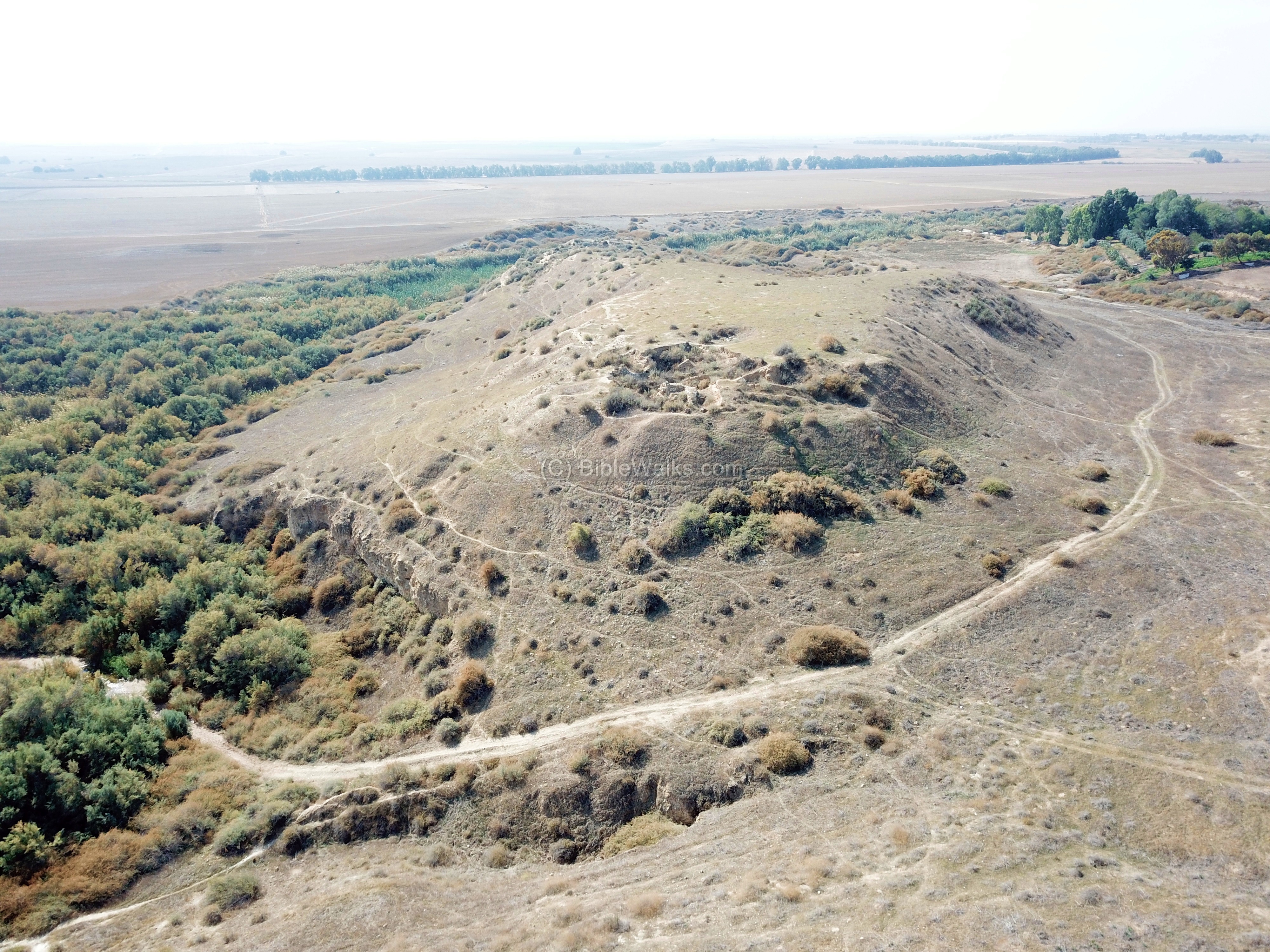
- Tel ‘Aro’er is the ruins of an 8th-6th century BC Israelite walled city, located on the side of the ancient route leading from the east to Beersheba. It was mentioned as one of the southern Judean cities during the time of King David.
- 1 Samuel 30 26, 28: ” And when David … sent of the spoil … And to them which were in Aroer…”.
- The “Small Crater” is the smallest among the 5 large geologic depression forms known as “craters” (Makhtesh) in the Negev desert.
Ma’ale Akrabbim (Scorpions Ascent)
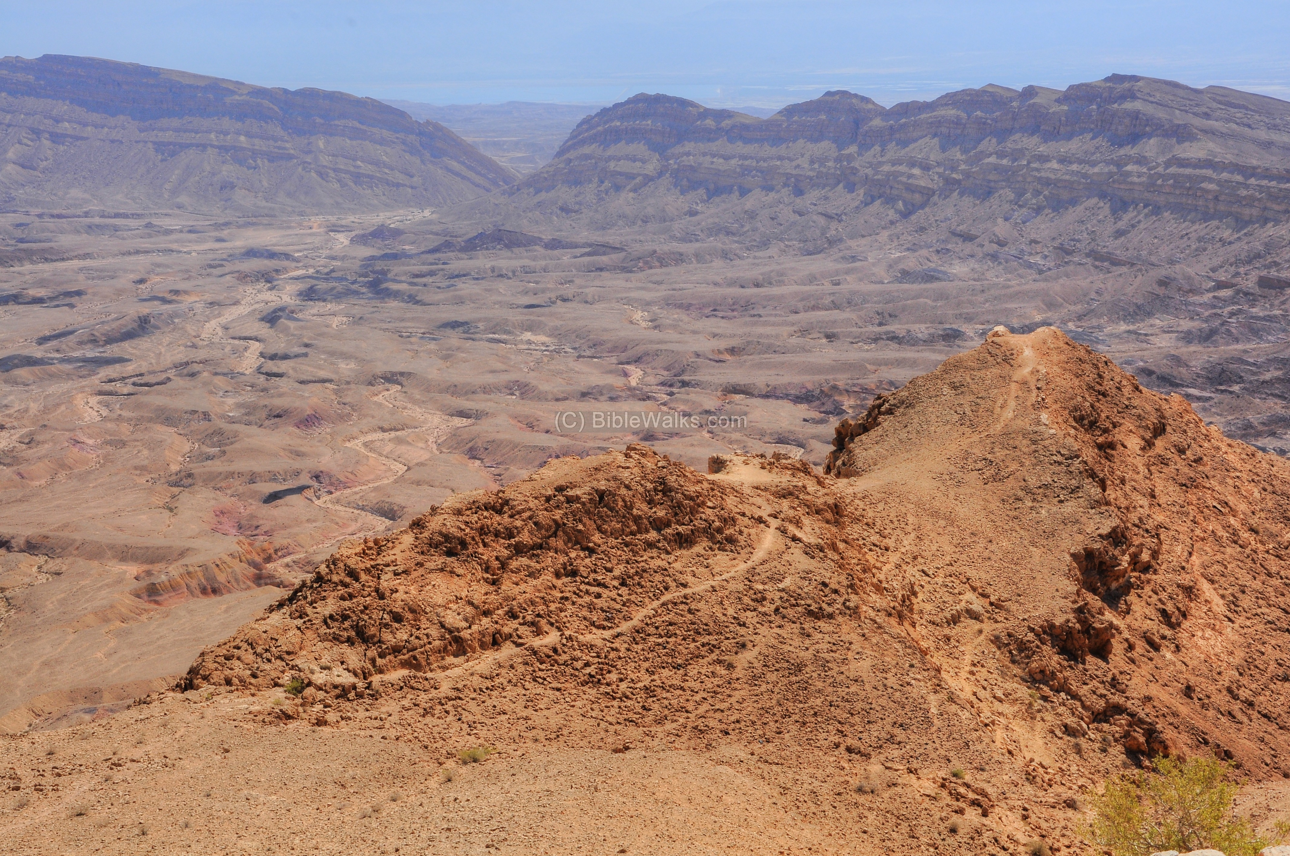
- Ma’ale Akrabbim (“The Ascent of the Scorpions”) is a scenic road connecting the Arava (Arabah) valley to the central Negev. Ancient routes traversed this steep climb.

- Numbers 34 4: “And your border shall turn from the south to the ascent of Akrabbim”
- A table shaped hill located in the valley of Zin, identified as Mount Hor – the burial place of Aaron.
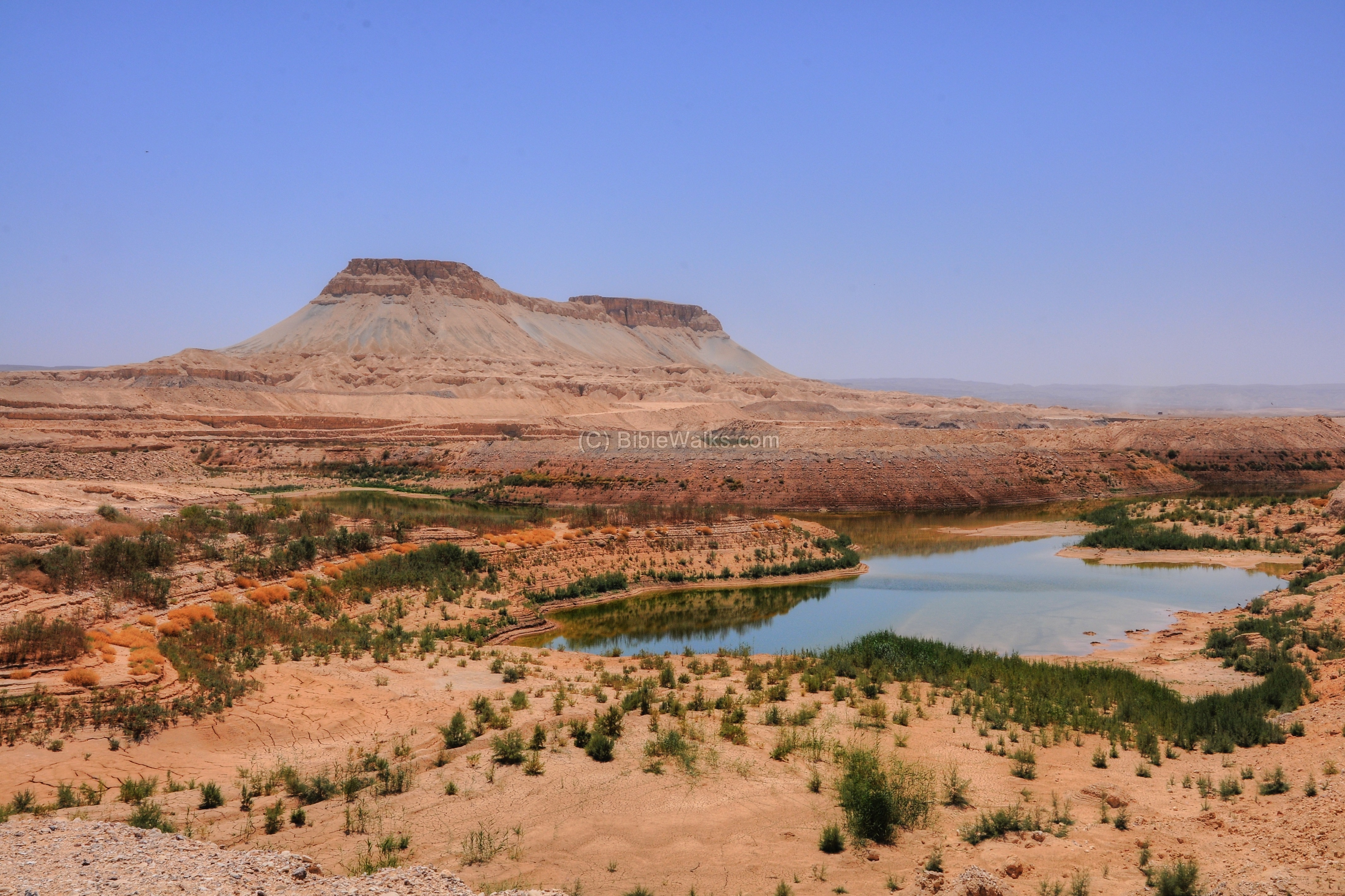
- Numbers 20 22: “And the LORD spake unto Moses and Aaron in mount Hor”.
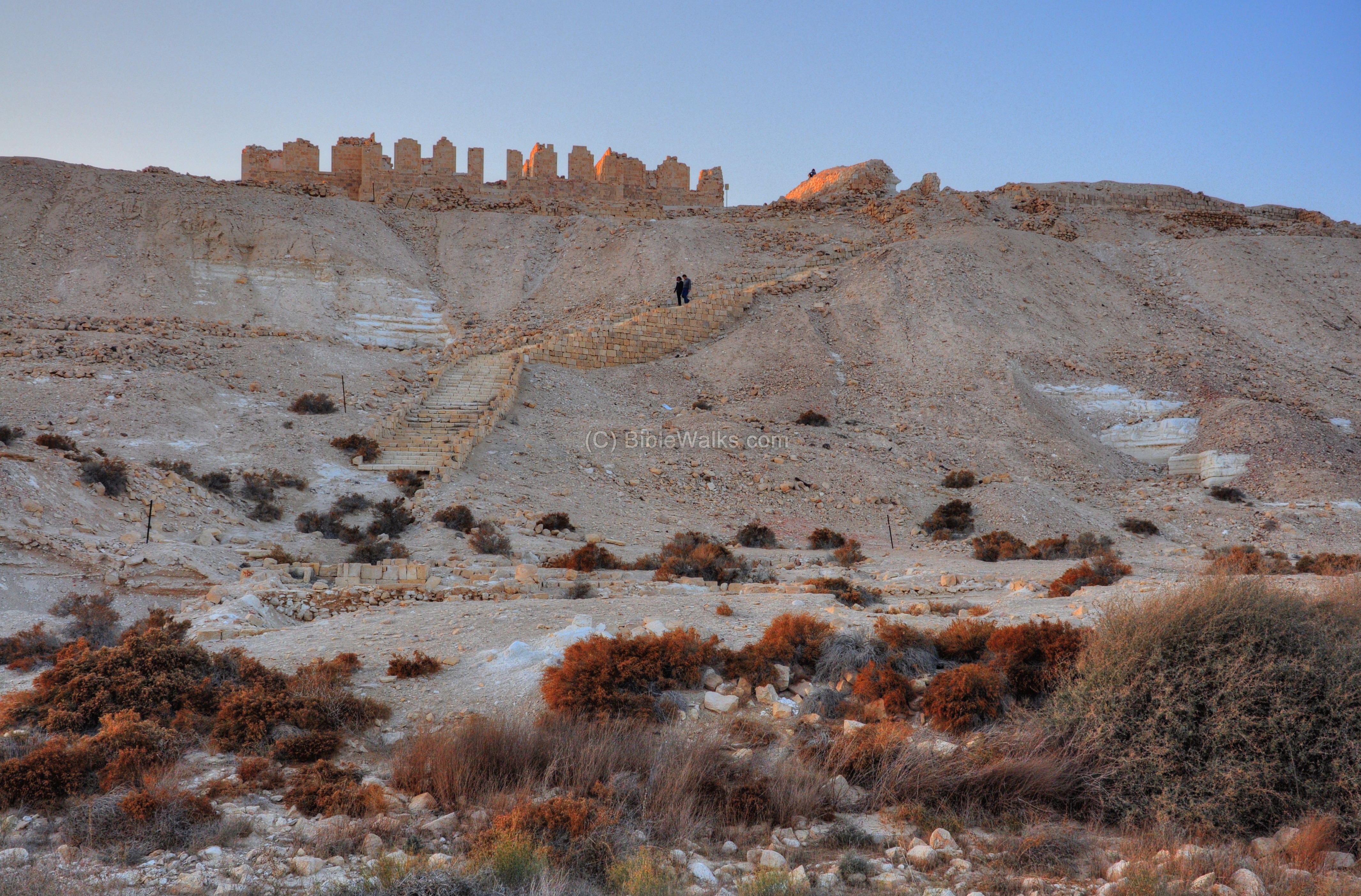
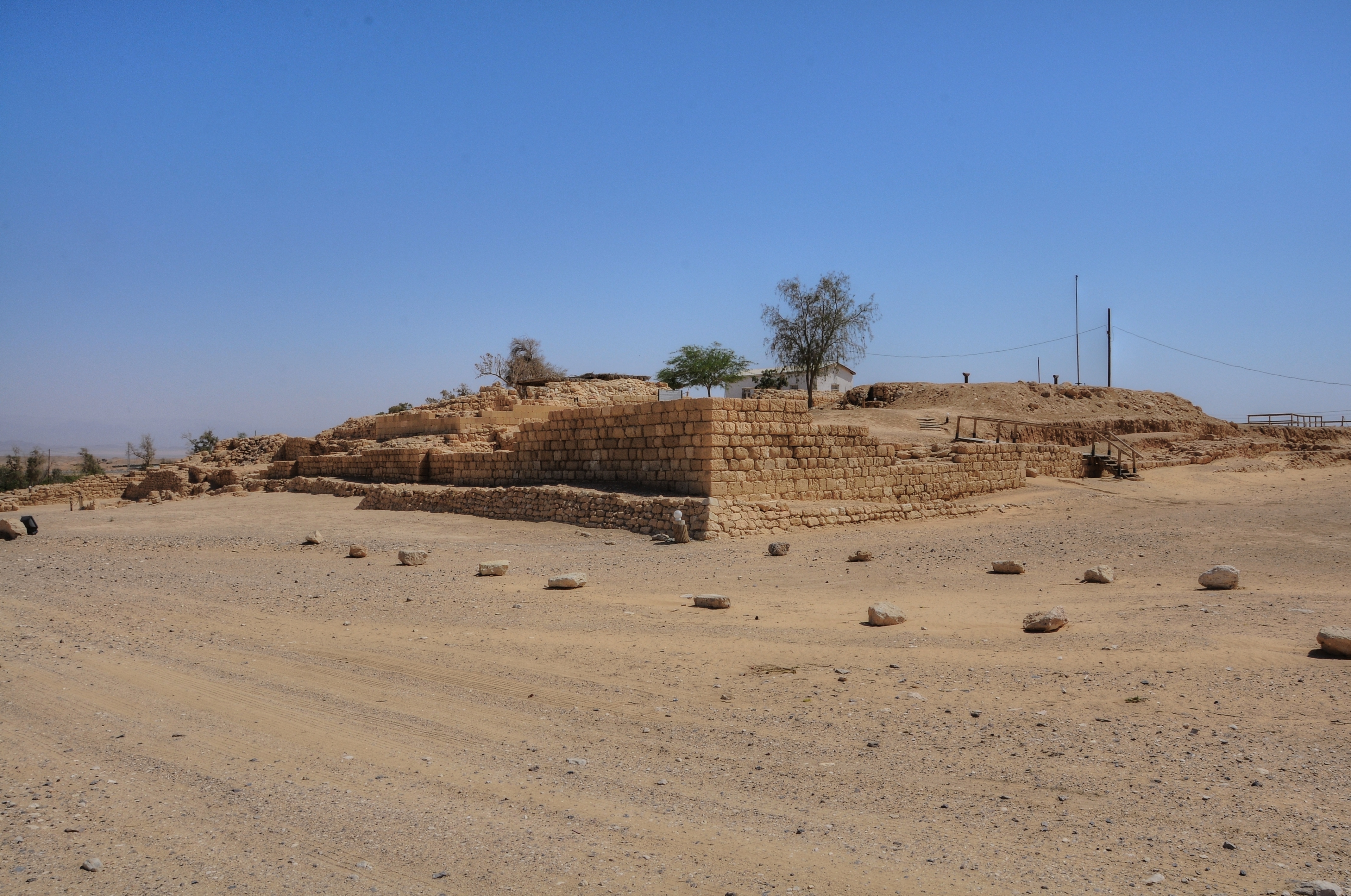
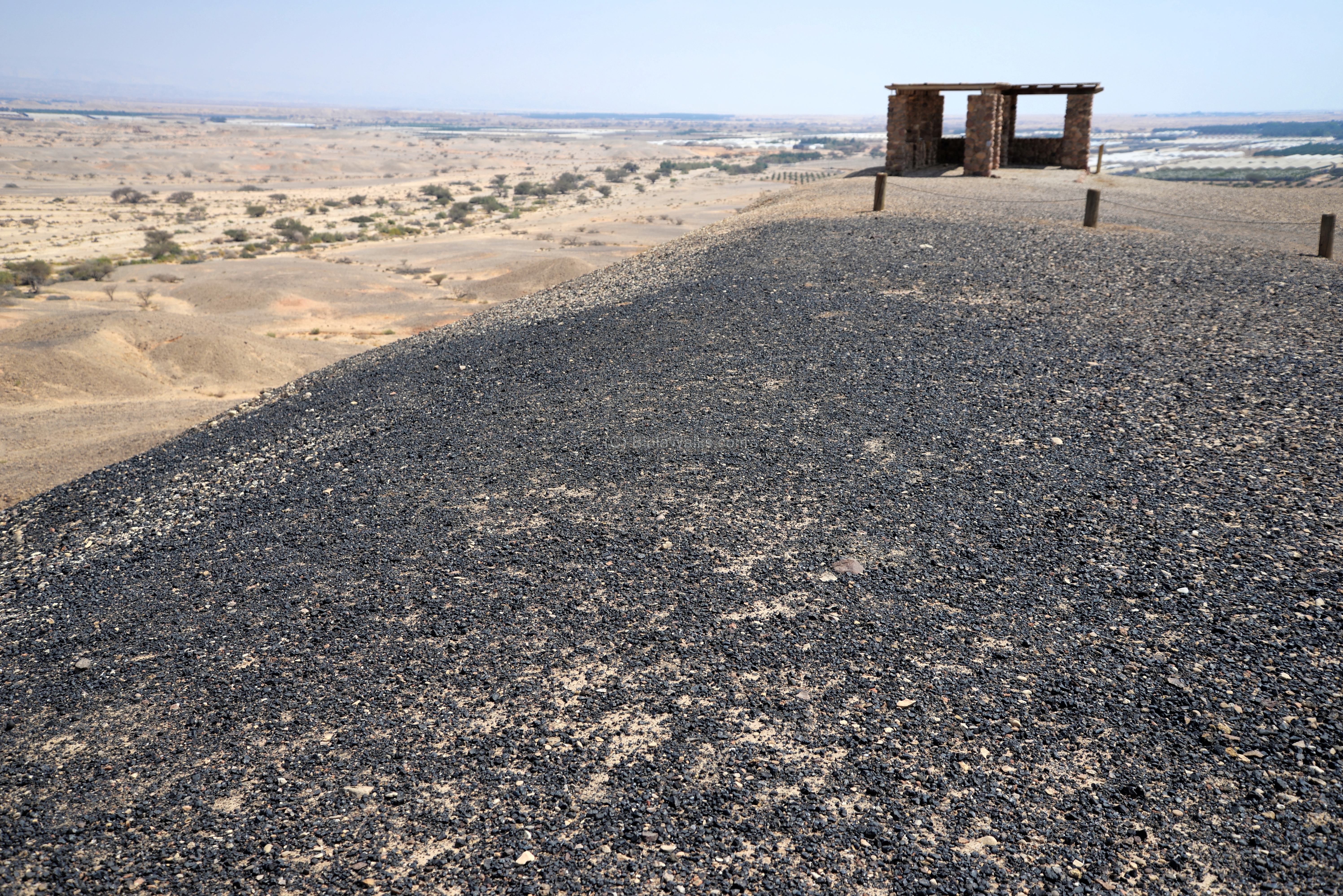
Biblical Tamar, Hazevah Fortress
- Israelite, Nabatean and Roman period fortresses located near the spring of Hazevah, identified as Biblical Tamara and Roman Tamara.
- A holy mountain in the Negev desert, possibly the location of Mount Sinai, where Moses received the Ten Commandments.
- Exodus 31 18: “And he gave unto Moses, when he had made an end of communing with him upon mount Sinai, two tables of testimony, tables of stone, written with the finger of God”.
- Ruins of an ancient farming settlement, dated to the late Byzantine and Early Arab periods, located near Kibbutz Sde-Boker.
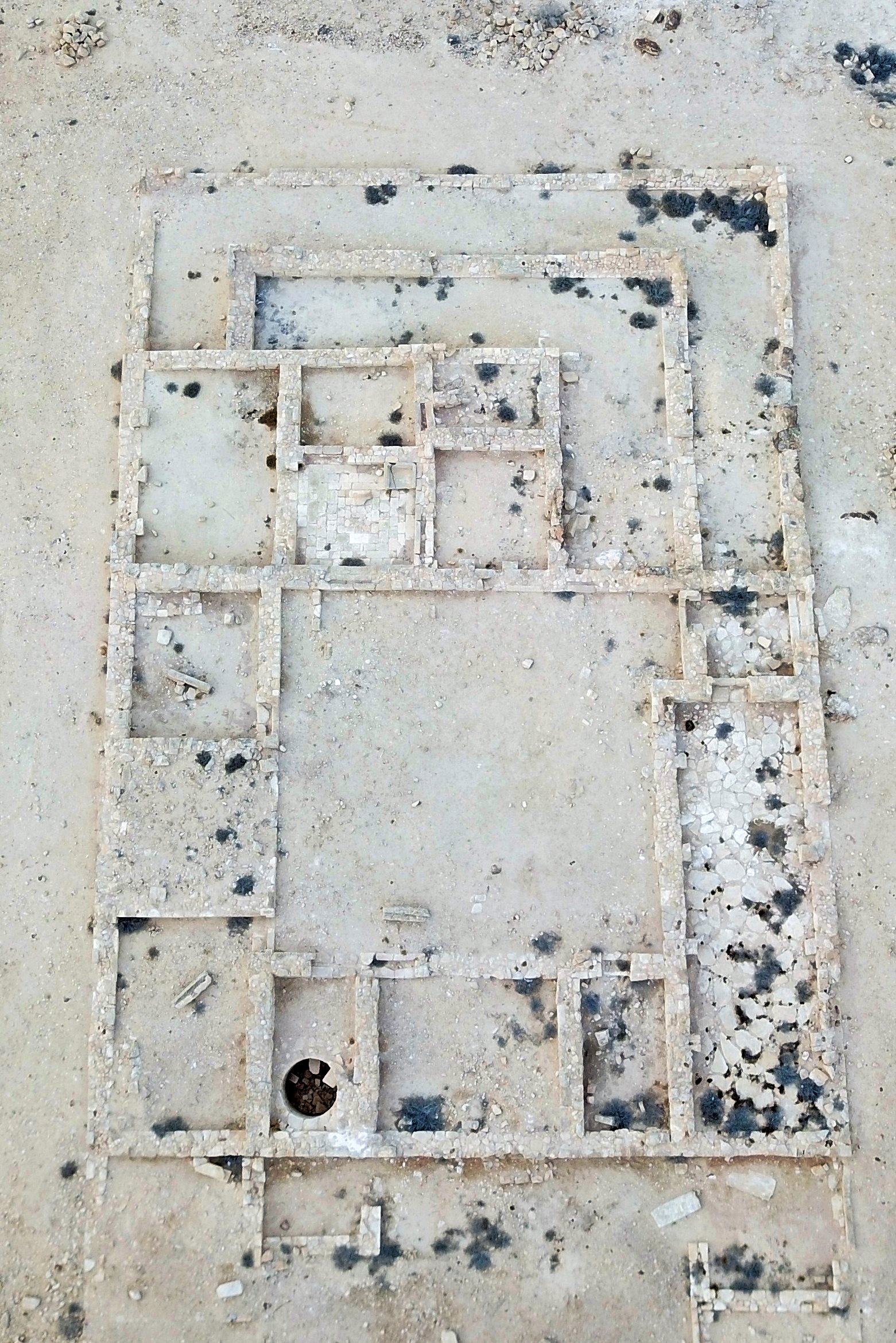
- National park, with ruins of an Israelite Kingdom fortified administrative city, located between the Be’er Sheva and Hebron streams.
- Genesis 26:33: “And he called it Shebah: therefore the name of the city is Beersheba unto this day”.
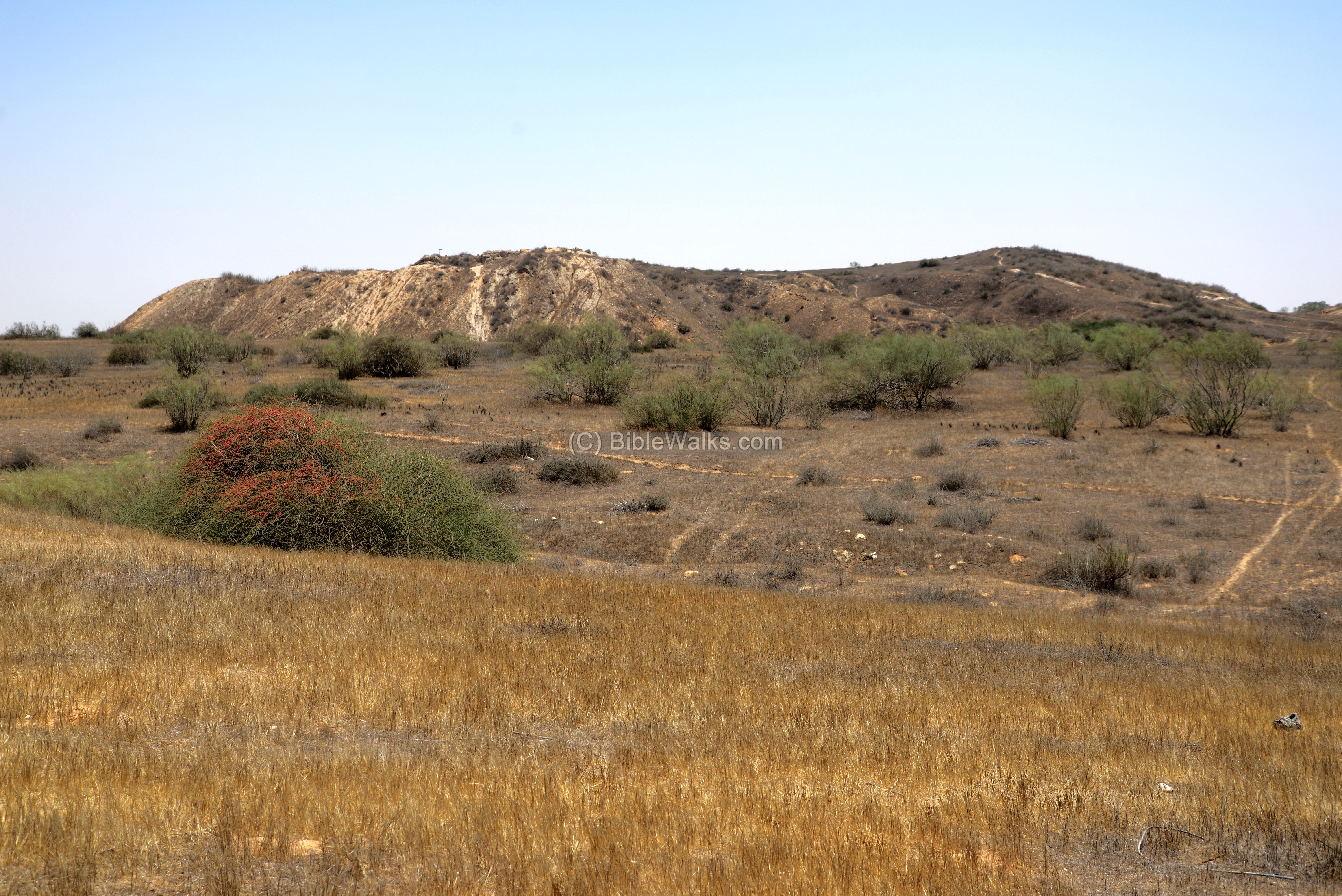
- Ruins of an ancient Canaanite and Philistine city on the Besor brook, identified as Yurza.
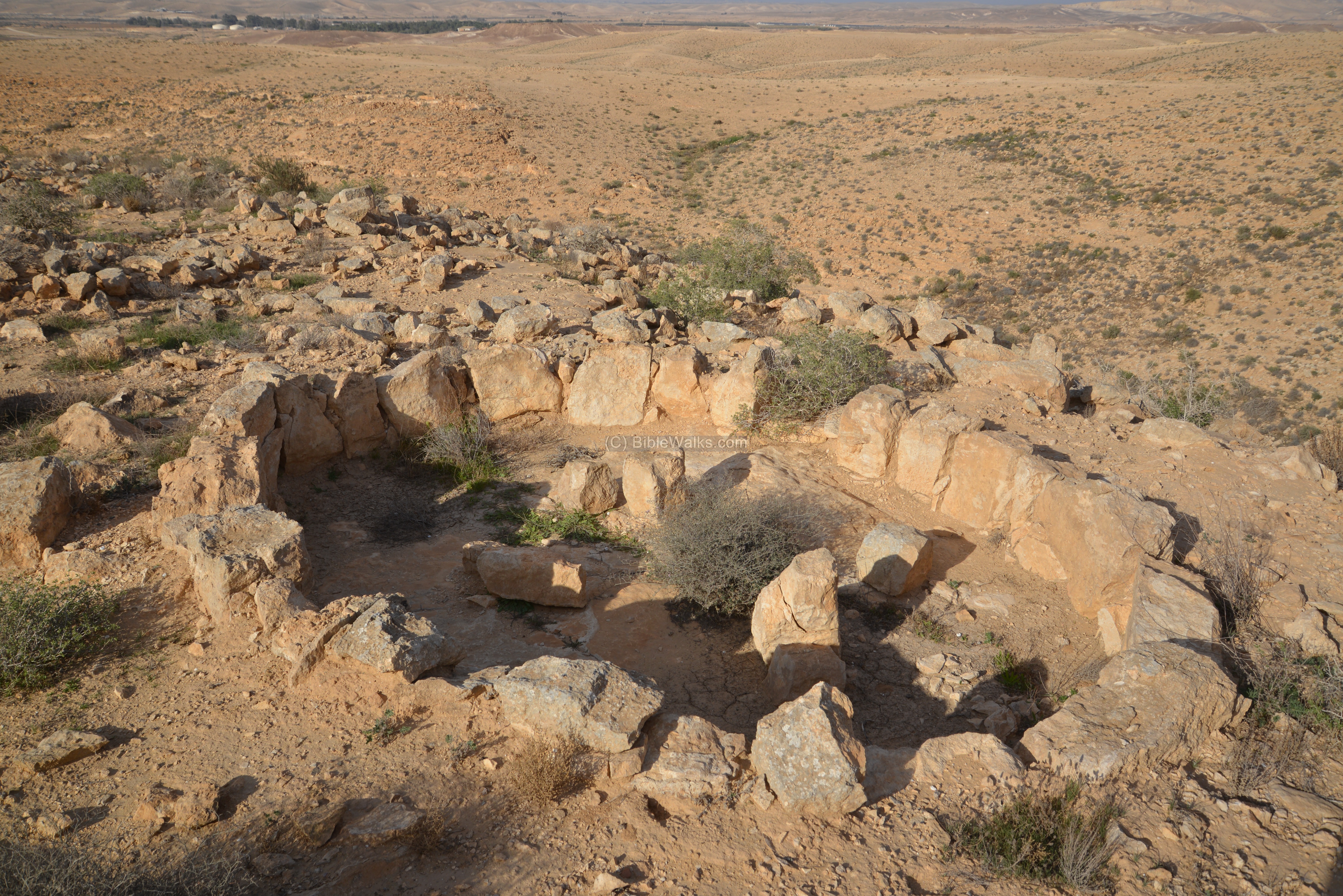
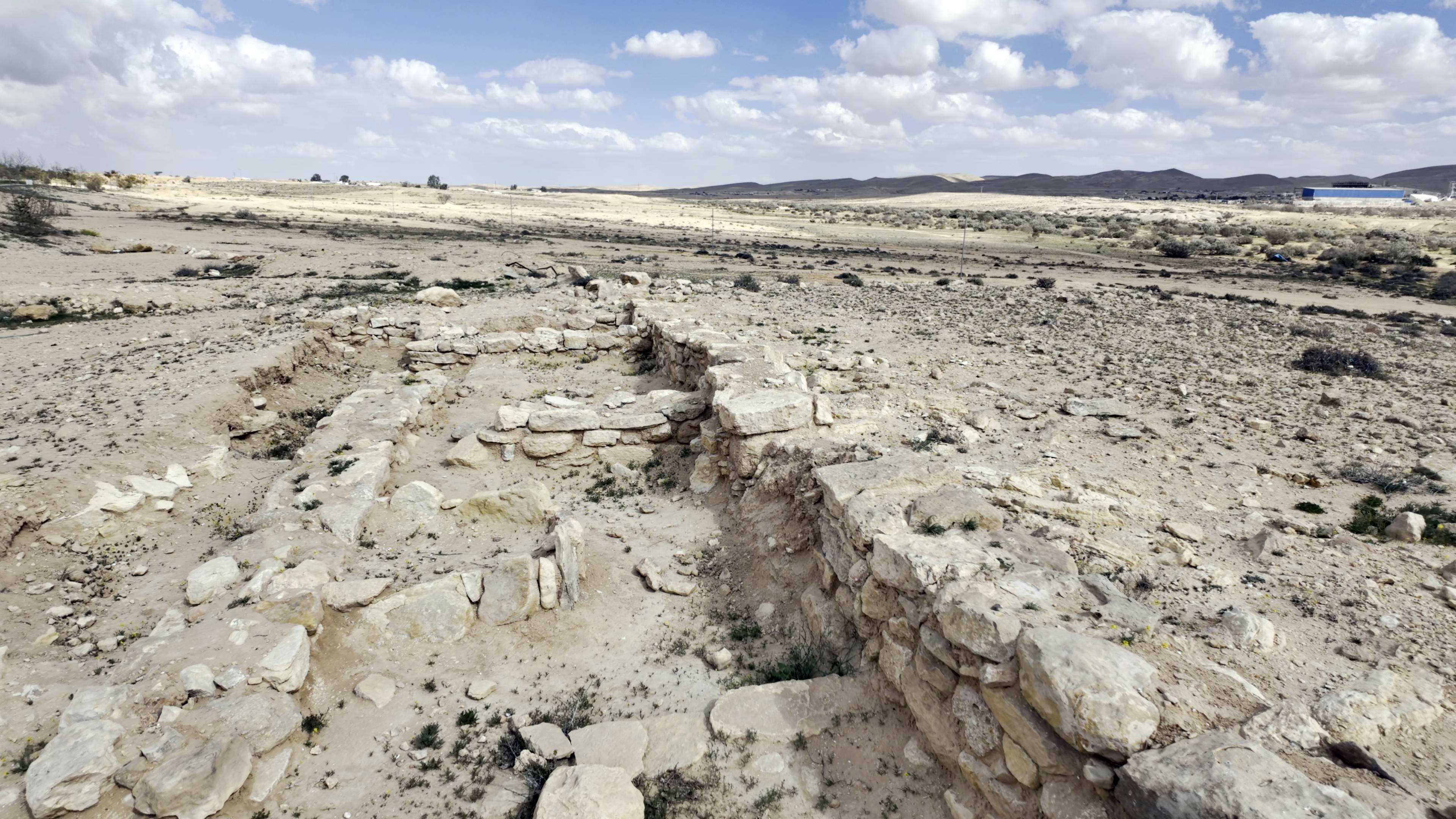
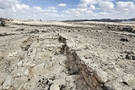
- An archaeological site in Negev Highland area, with 17 water cisterns.
- 2 Chronicles 26 9-10: Uzziah built … towers in the desert, and digged many wells…”.
- An ancient cistern in the Negev Highland area, located south of Mt. Hemet.
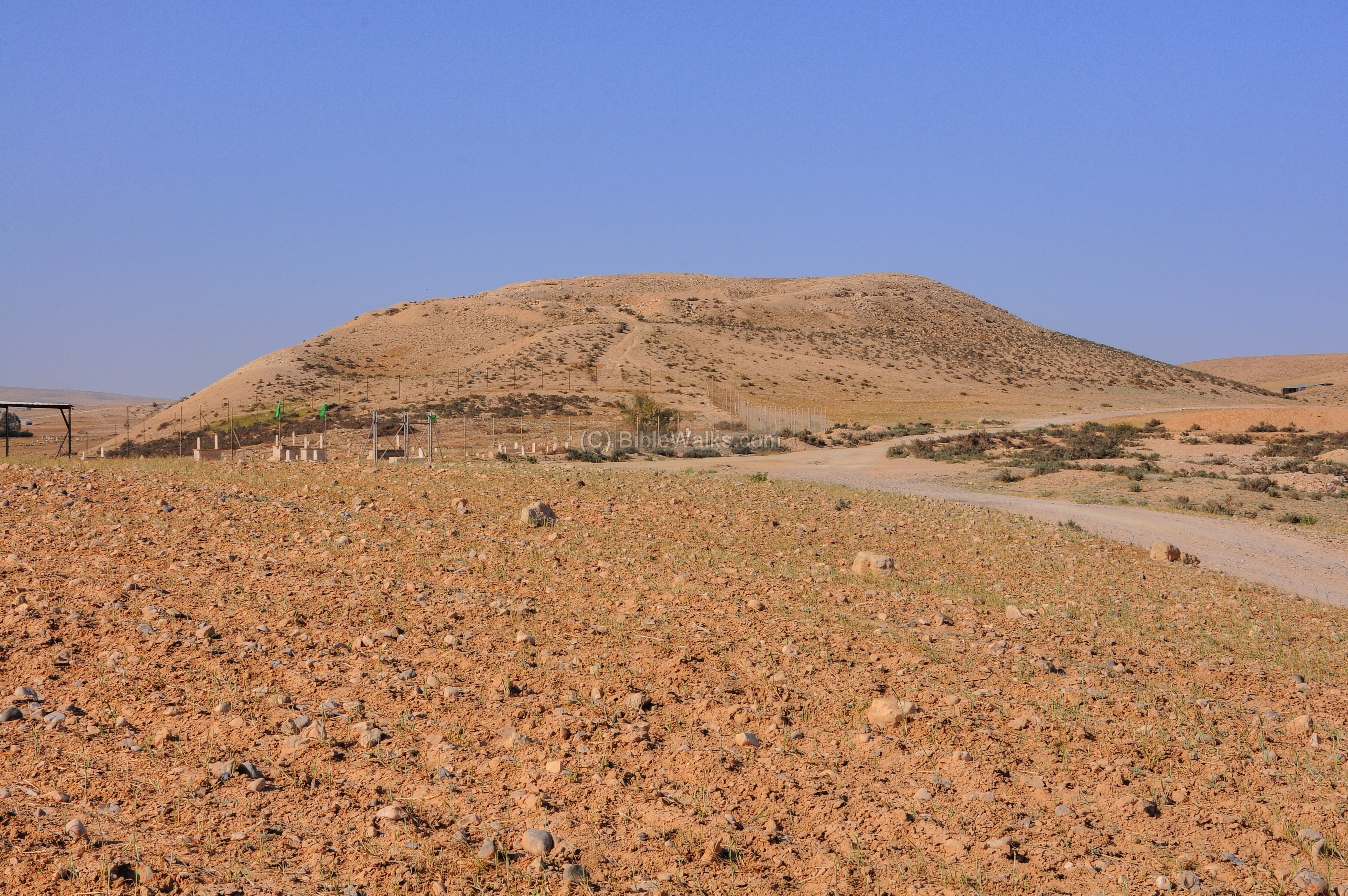
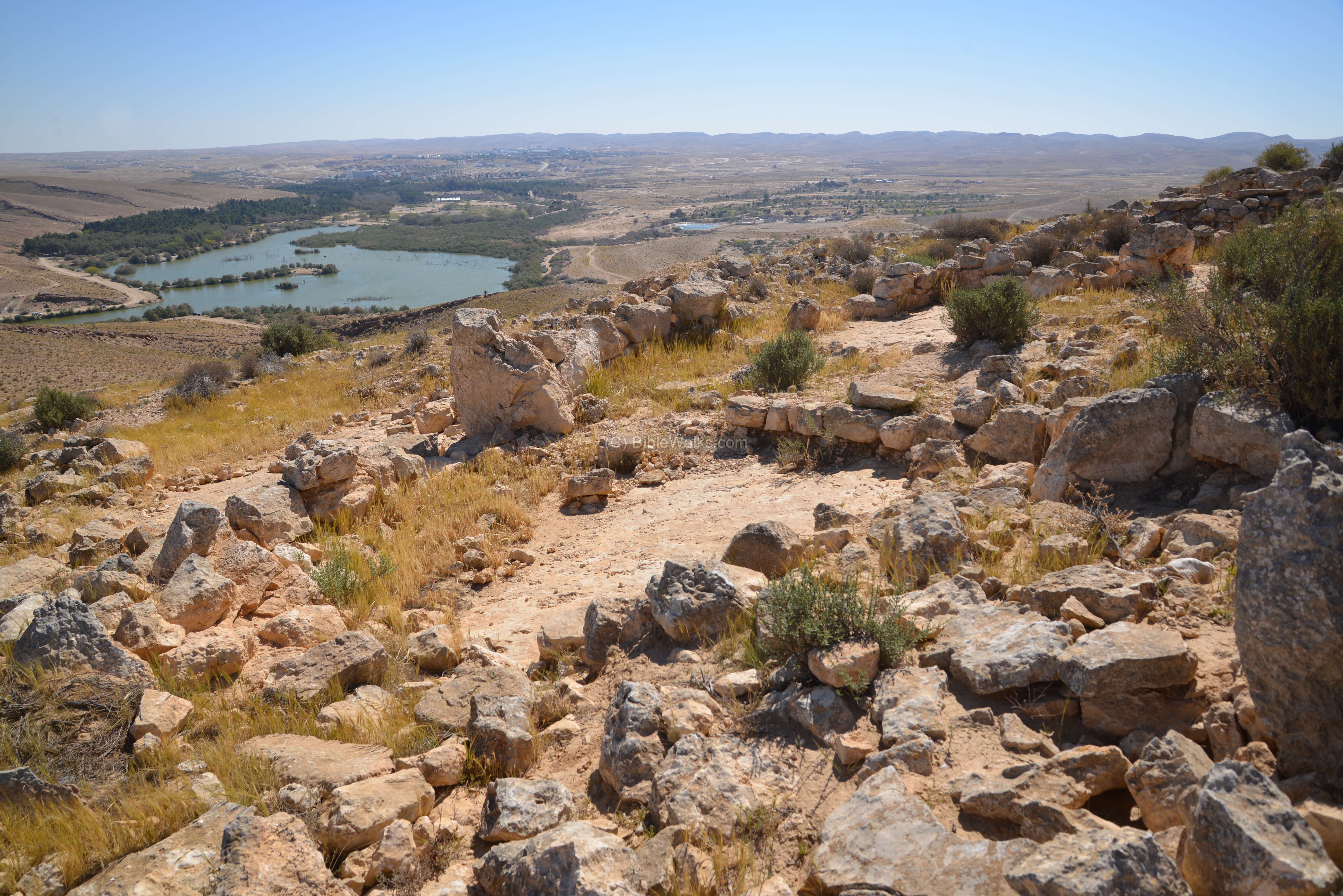
- A small hill is located near the northern rim of Makhtesh Ramon, offering great views of the Makhtesh. Remains of a Bronze Age village are located on its northern foothills.

- Overview and sites in Makhtesh Ramon, a geological crater in the center of the Negev highlands.
- Remarkably preserved village in the Negev Highland area, dated to the Intermediate Bronze period.
- Prehistoric sites, including a settlement, tombs and temple, dated to the Middle Bronze 1 period.
- Impressive and well preserved Nabatean site, a station along the Incense route.
- A large archaeological mound on the bank of Nahal Gerar, identified as David’s Ziklag.
- 1 Samuel 30:1-3: “David and his men were come to Ziklag”.
- Bronze age copper smelting installations in the Northern Aravah area.
The Canaanite city was the last stand of the Hyksos after their expulsion from Egypt in the 16th century BC. Tell el-Farah near the Gaza strip is a leading candidate for the city.
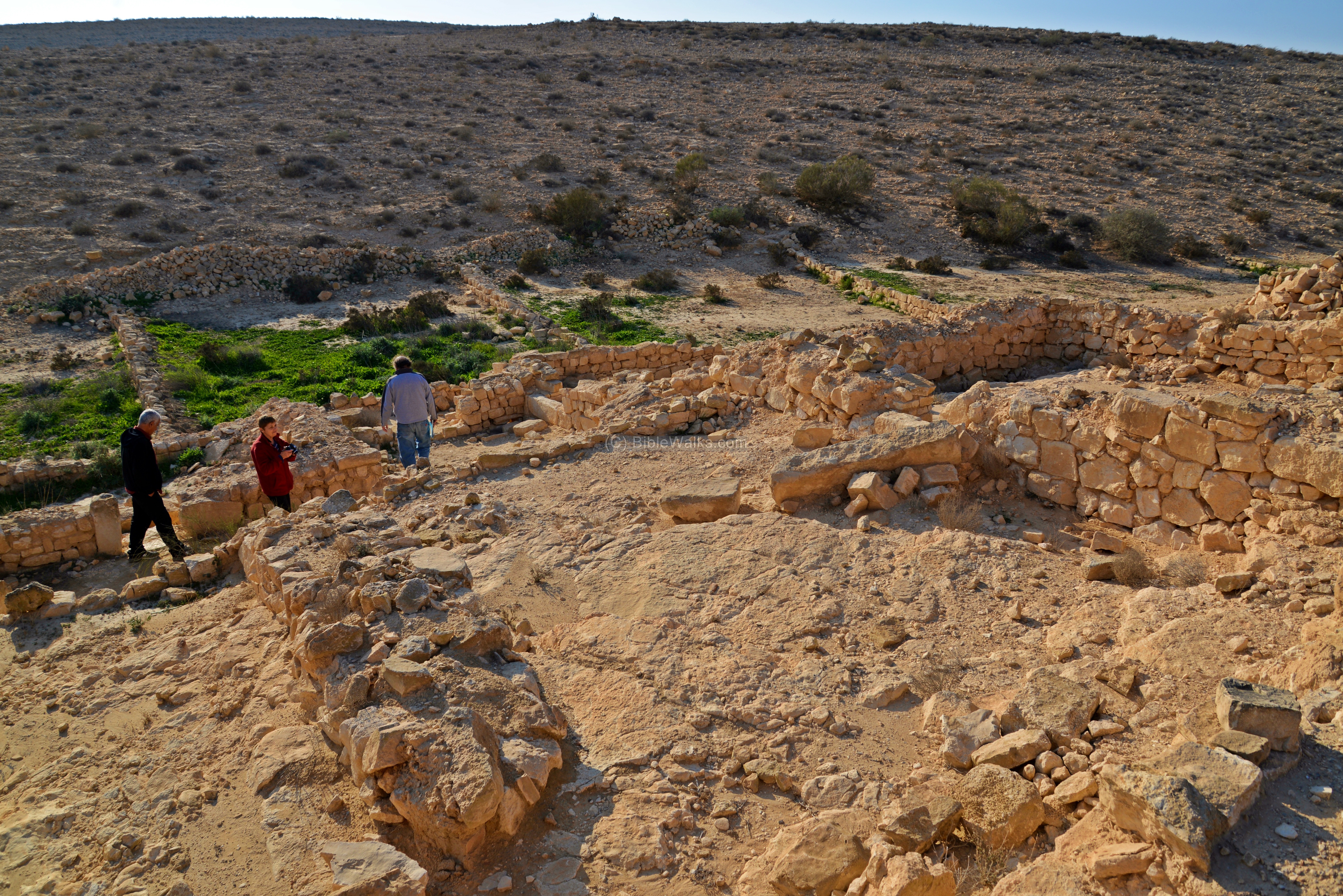
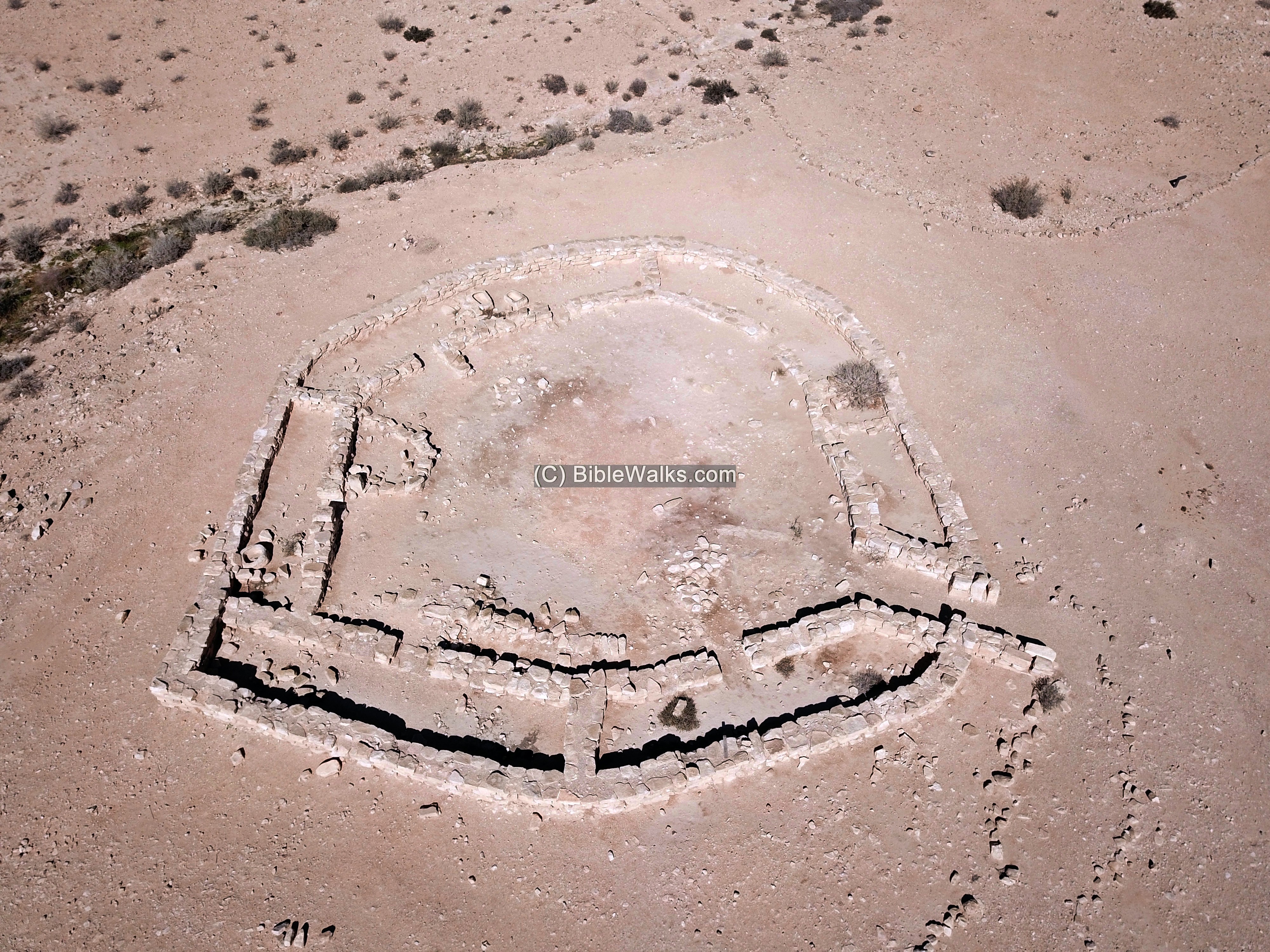
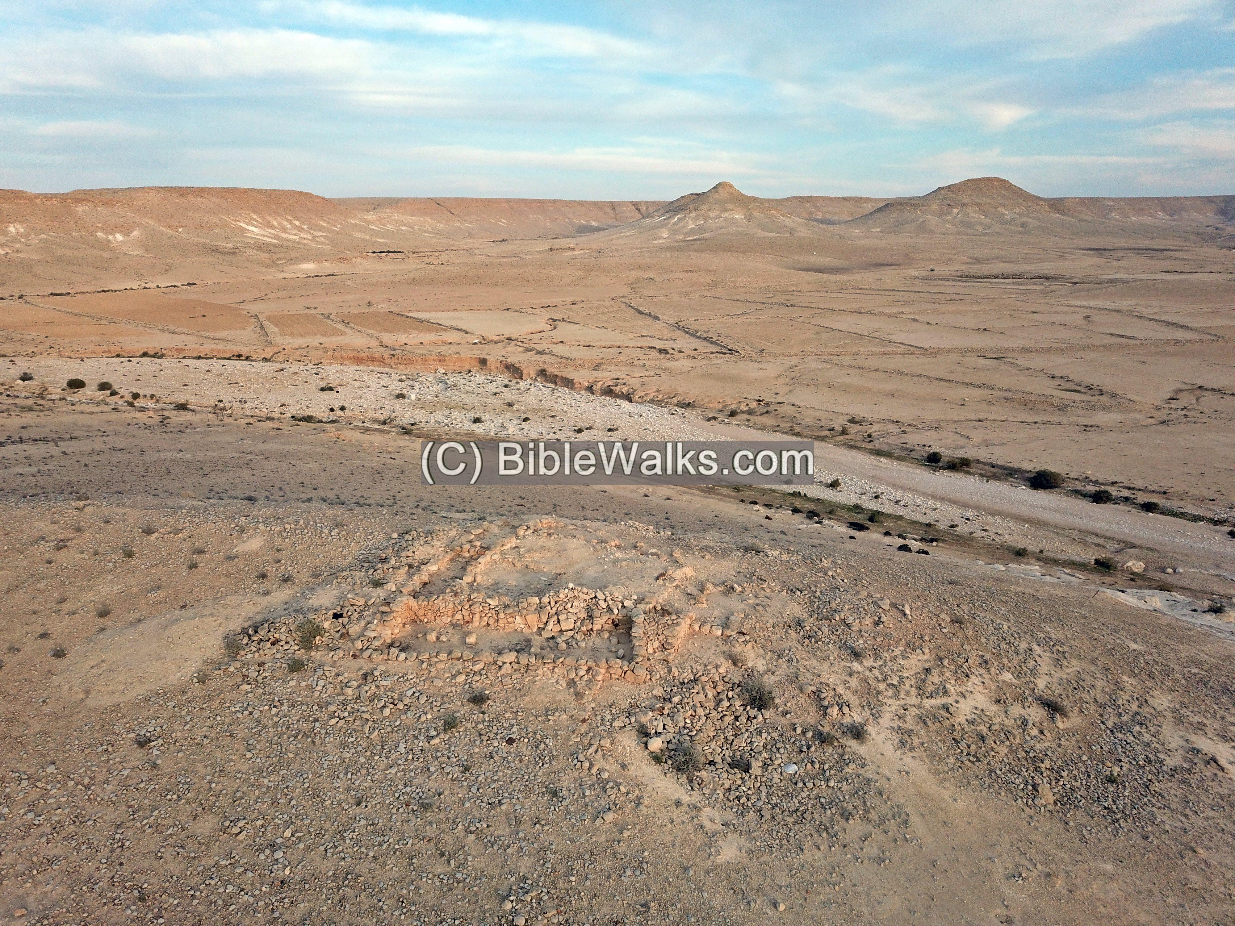
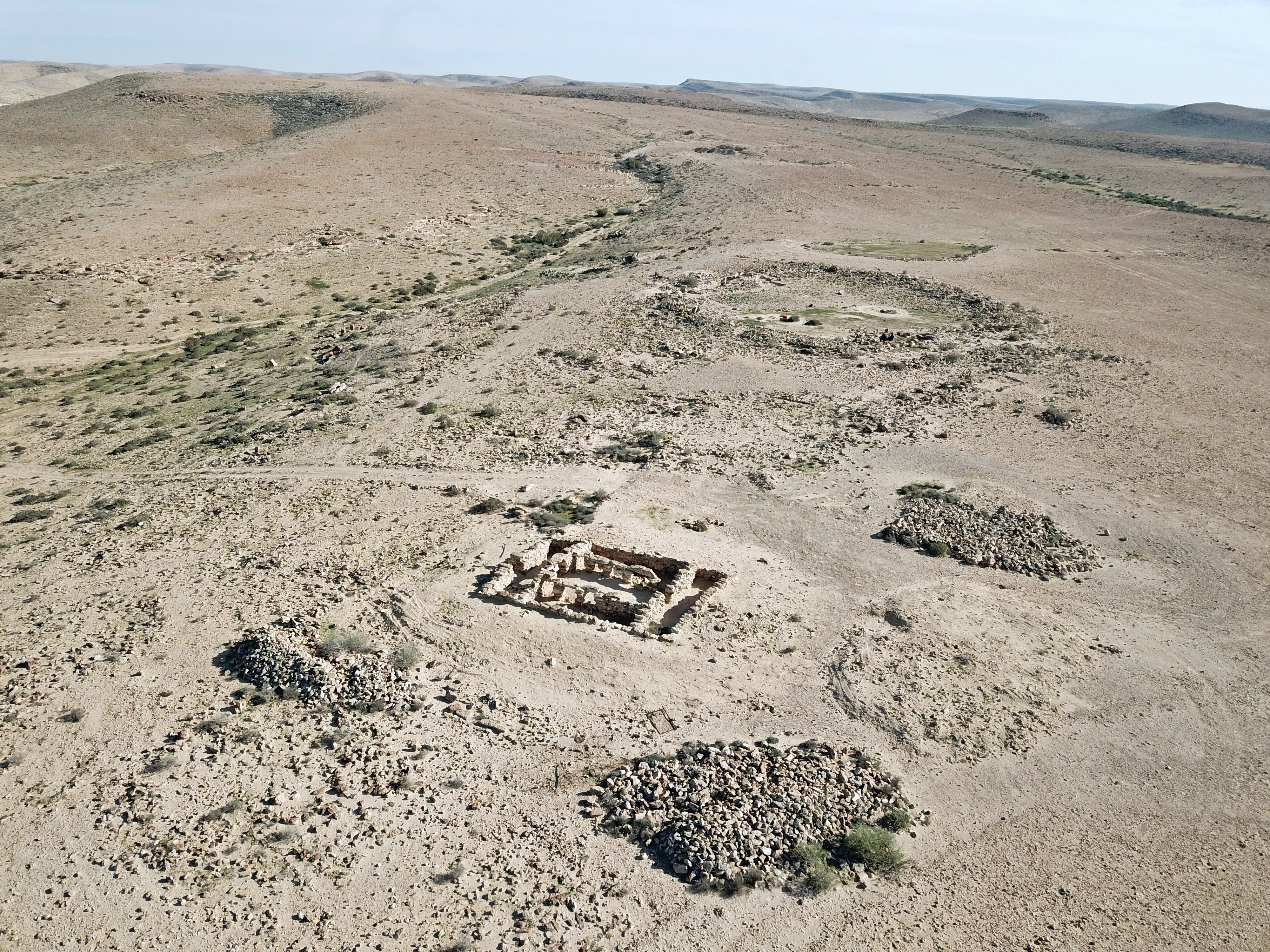
Ruins of Iron Age fortress and settlement, overlooking the valley of Nahal Boker.
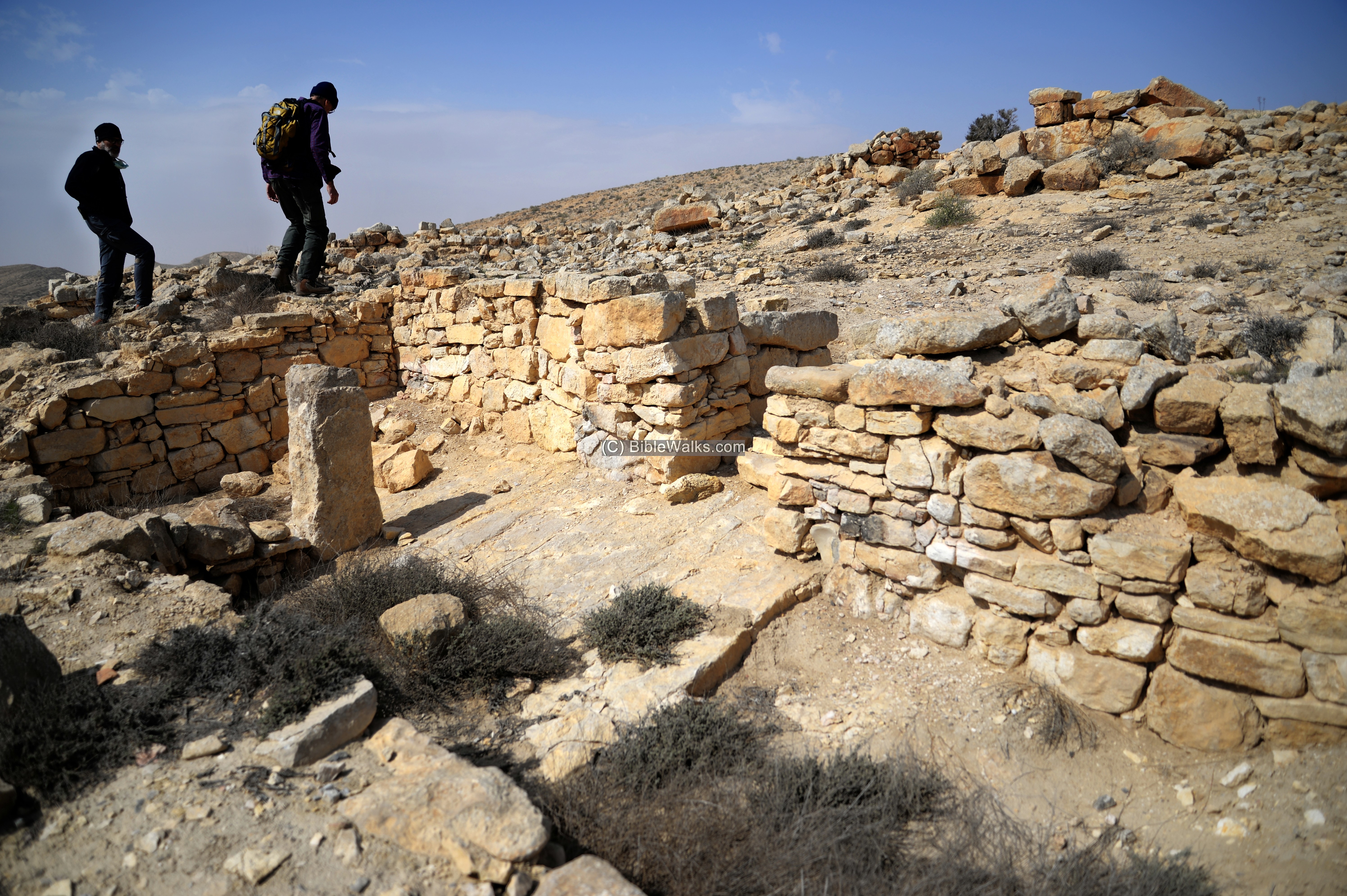
Ruins of a Israelite period desert fortress and small settlement, near the confluence of Nahal Boker and Haro’a streams with HaBasor stream.
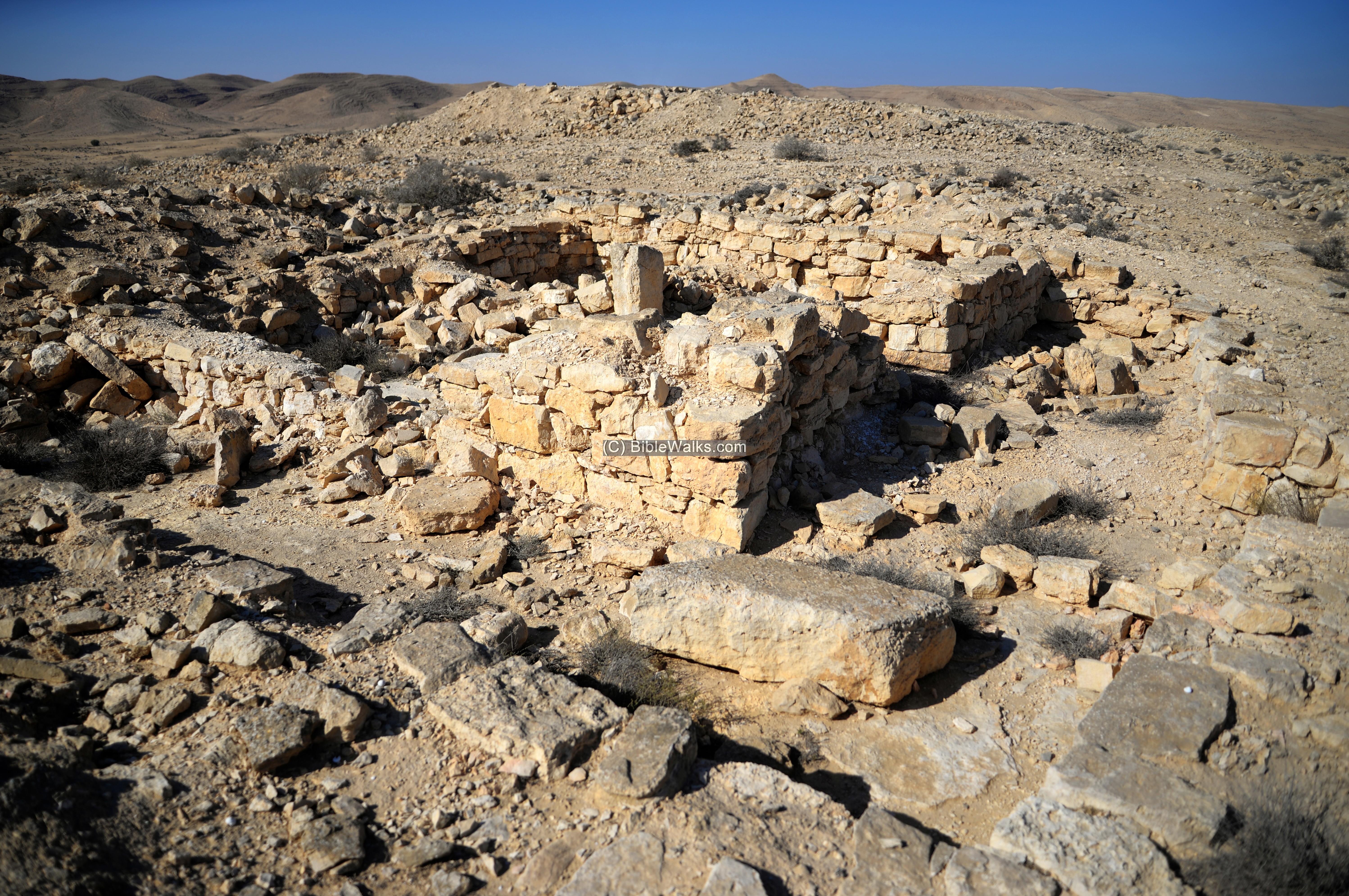
Ruins of a Israelite period desert fortress and settlement, later reused by the Nabateans.
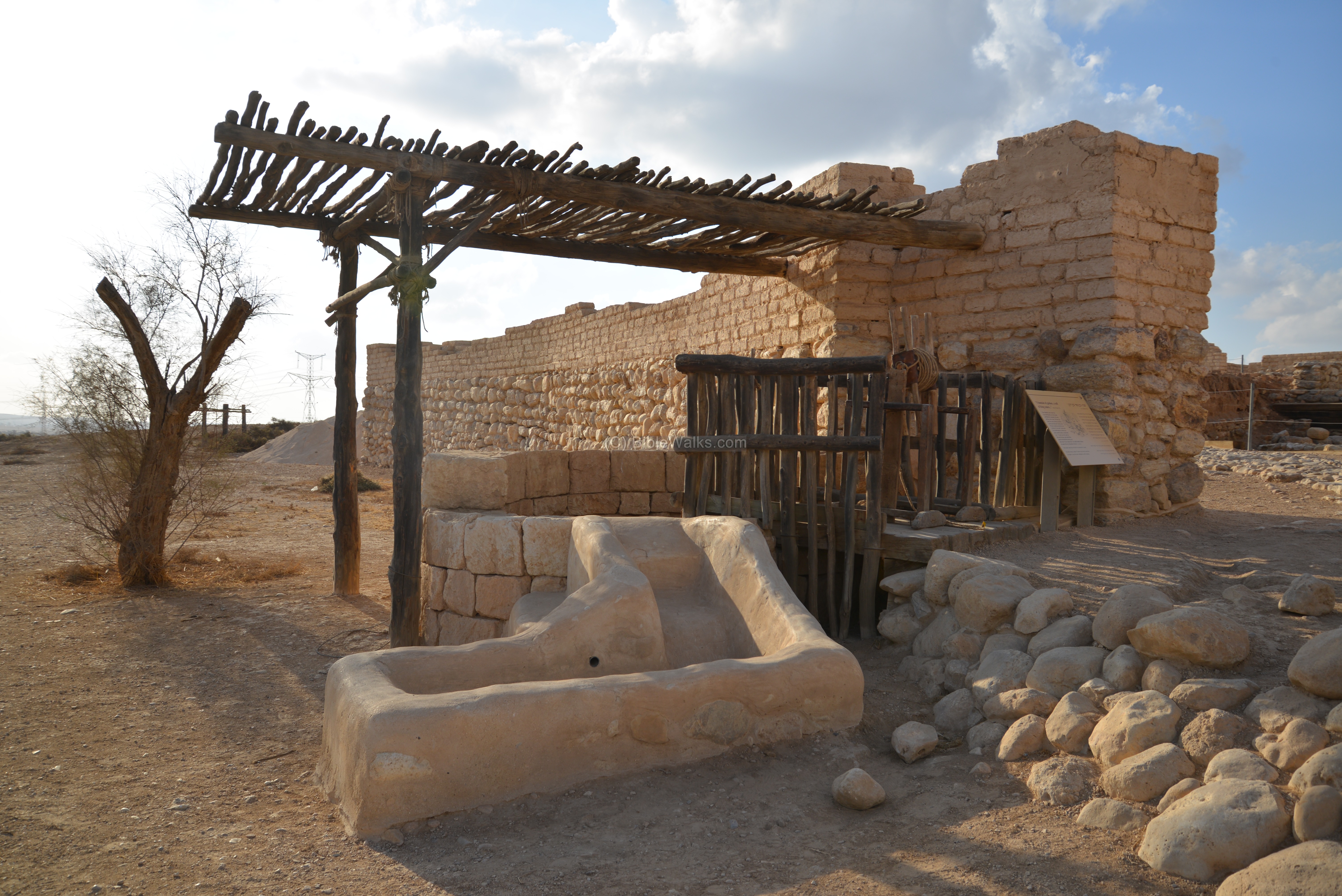
A visitor’s center and historical well in BeerSheba, associated with the history of Abraham and Isaac.

Ruins of a Israelite period desert fortress on the bank of Nahal Zin, near Mt. Eldad
Nabatean/Roman and Byzantine period desert fortress east of lake Yeruham.
Newly discovered Iron Age II period desert fortress east of Yeruham.
Overview of the sites around Yeruham, located on the high Negev desert area.
A Nabatean and Roman station, on the side of a desert trade route.
Ruins of a Israelite period desert fortress and small settlement, near the confluence of Nahal Haro’a and Mezadim streams.
» Map of Negev sites:
- Check the Negev sites maps.
Links and References:
- Early settlement in the Negev (91 pages, pdf; Hebrew)
- How did Bronze Age villagers survive in the Negev desert? (Archaeology, Zach Dunseth, Jan 2014)
- On Early Bronze Age Copper Bar Ingots from the Southern Levant (24 pages ; Andreas Hauptmann, Sigrid Schmitt-Strecker, Thomas E. Levy and Friedrich Begemann, 2015)
BibleWalks.com – walk with us through the sites of the Holy Land
Sites Navigation: On all featured sites, you can use the navigation aid at the end of the page for proceeding to the next site. The navigation bar takes you through a tour of the sites. At the bottom of each site you can navigate forward or backward, or return back to a full list of all sites in all regions of Israel.
<<<All Sites>>>—next Negev site—>>> Yotvata
This page was last updated on Mar 26, 2026 (add Haro’a)
Sponsored links + sample links to BibleWalks sites: