This page provides an overview of the Nabateans and lists their reviewed sites in BibleWalks.com.
Home > Info > People > Nabateans
Contents:
History
Sites
Map
Etymology
Links
History
- Overview
The Nabateans originated from Arabia, where they have been nomadic tent dwellers. The name “Nabat” may have originated from the word meaning “of-Arab”, a name which is known since the 10th century BC. Their language was Aramaic and many of their words were Arabic. The Nabatean script is similar to the Moab script. Although they have not left any books, the research of their history is based on the inscriptions on tombs, and on Greek and Roman historians, such as Diodorus Siculus (half of 1st century BC) and Josephus Flavius (half of 1st century AD). The Nabateans excelled in ceramics, mastered in collecting the desert water, and were skilled merchants.
- Petra capital city
Their new capital city in Edom, called Petra, based on the Greek word for Rock. In the Bible it is also named ‘rock’ (Sela in Hebrew). Judges 1 36: “And the coast of the Amorites was from the going up to Akrabbim, from the rock, and upward”, Isaiah 16 1: “Send ye the lamb to the ruler of the land from Sela to the wilderness, unto the mount of the daughter of Zion.”
Petra was the center of a vast Kingdom: the kingdom included the Negev and Sinai, Northern Arabia, Moab and Hauran (Houran). The Nabateans mastered the utilization of the scarce rainfall in the desert area, by collecting the surface runoff into hidden cisterns, and then used it for their water supply and the development of desert agriculture.
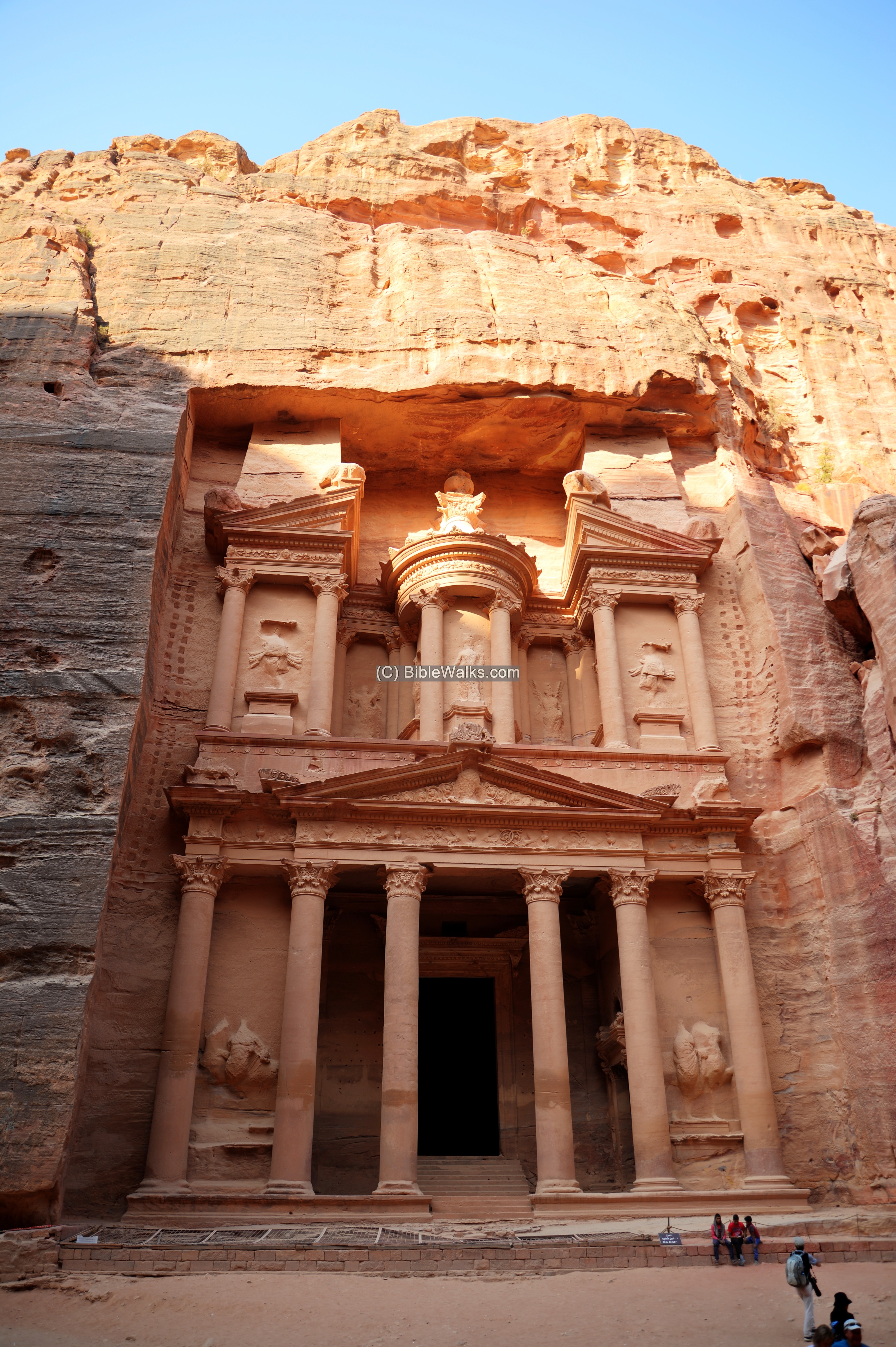
The Treasury (Al-Khazneh) temple in Petra
- Arrival to the Negev
They arrived to the Negev – the southern area of Israel – during the Persian period (about the 4th century BC). Prof A. Negev, the excavator of Avdat and other Nabatean sites, defines 3 periods in the history of the Nabateans in the Negev:
- Early Nabatean period (4th-1st century BC) – the nomad period during the Persian and Hellenistic periods
- Middle Nabatean period (25 BC to 50/70AD) – the trade empire – during the Early Roman period
- Late Nabatean period (70/80 to 150AD) – the urban agriculture period – during the Early Roman period
- Incense and Spice route
The Nabateans prospered from the operation of the Incense and Spice route, and established stations and cities along the route. This commercial enterprise started during the Persian period, around the 5th or 4th century BC, and made these merchants rich.
The Incense & Spice route connected the east (Yemen and Oman), through Arabia, via the Nabatean capital city Petra, to the port city of Gaza (Anthedon) on the shore of the Mediterranean Sea. Other routes branched to port cities on the shore of the Mediterranean Sea – Gaza, Raphia, Rhinocorura (al Arish). This road, with a total length of 2,400 km, passed through harsh desert areas. It was used by the Nabateans to export the incense and spices from southern Arabia and the Far east to the Classic world of Greece and Rome.
Stations along the Incense & Spice route were established by the Nabateans in the 3rd century BC (Hellenistic period). The station started from the construction of small forts. Some of the stations were then expanded to khan (inn) during the end of the 1st century AD. According to the findings of the Mo’a excavations, the Nabatean road station reached its zenith during the reign of the Nabatean King Aretas IV Philopatris (9 BC-40 AD).

Caravans crossing the desert – AI Illustration by DALL-E 2
In order to support & protect the Incense route, the Nabateans established stations and fortresses along the road. They were spaced at 35km apart – a length of one day camel travel, and offered the convoys food water and a place to stay overnight. A garrison was stationed in each station, with additional fortresses constructed along the route, providing protection against robbers and protecting the precious merchandise.
The Biblical map below shows the path of the Incense route, with the Nabatean cities marked by red stars. One of the routes passed through Mamshit, arriving from Tamara and the Scorpions Ascent, going north to Hebron and Jerusalem, or west through Beersheba to the port of Gaza. The other route passed through Mo’a, Avdat (Obobda), Shivta ,Nessana (Nitzana), Haluza (Elusa) and Rehovot (of the Negev).

Map of the ancient cities along the Incense/Spice route – during the Nabatean and Roman/Byzantine periods (based on Bible Mapper 3.0)
Mo’a was the first station in the Negev after crossing the Arava (Araba) valley from Petra. The next station is located in the Saharonim station inside the Ramon Crater, then proceeding to Oboda (Avdat). The next stops thru 2 routes: a southern route thru Shivta and Nessana (Nitzana) towards Egypt; a western route thru Elusa (Haluzah) to Gaza.
- Maccabee revolt and Hasmoneans (167-63 B.C.)
The Maccabees headed the anti-Hellenization rebellion against the Greek Seleucids who controlled the land of Israel since 198 BC. After a series of successful military campaigns they took control of Judea, liberated the land and created an independent Jewish country, known as the Hasmonean Kingdom (164-63 BC as independent state, and 63-37 BC as rulers under Rome).
The cities in the southern coast area of Israel were important targets during the following years of the Hasmonean expansion. In 145 BC Jonathan Maccabee captured Gaza, burnt the villages around it, and forced a truce with the city. (Antiquities 13, Chapter 5:5): “…he set a part of his army round about Gaza itself, so with the rest he overran their land, and spoiled it, and burnt what was in it. When the [people] of Gaza saw themselves in this state of affliction… so they sent to Jonathan, and professed they would be his friends, and afford him assistance… he made a league of friendship with them, and took from them hostages for their performance of it, and sent these hostages to Jerusalem, while he went himself over all the country, as far as Damascus”.
Years later, King Alexander Jannaeus captured the port city of Yavne-Yam (Jamnia) in 103 BC, followed by the capture of the port city of Gaza (Anthedon) in 100 BC, the inland city Gaza (100 BC) and the coastal city of Raphia (south of Gaza) in the same year. The loss of the port cities was a major defeat for the Nabateans, causing their cities along the Incense route to decline. On the other hand, the possession of Gaza made the Hasmoneans richer and was one of the important sources of income for the Jewish Kingdom. The Hasmonean Kingdom controlled Gaza until the Roman conquest by Pompey the Great forty years later (63 BC).
The Hasmoneans attempted to expand the Hasmonean Kingdom by capturing the territories of Moab, east of the Dead Sea in modern day Jordan. However, King Obodas I, who ruled the Nabatean Kingdom from 96-85 BC, defeated Alexander Jannaeus in a battle northwest of Philadelphia (modern day Amman) in 95 BC. This blocked the Hasmonean expansion in the south east area of the Kingdom.
- Roman period
The Romans, headed by Pompey, captured the land in 63 BC, and rearranged the territories in the region. This did not initially affect the Nabatean Kingdom, as the business along Incense and Spice route were important for the Romans.
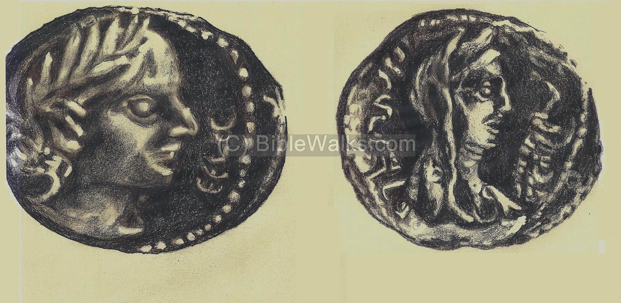
Nabatean coin of Obodas III (30-9 BC) – Drawing by Rina
The Nabataean kingdom became an ally of Rome. During this period the Nabatean commerce expanded, and they even established a port in Pozzuoli, Italy. A Nabatean temple, dated to the early 1st century AD, was found submerged in the ancient port.
- Roman Annexation (106 AD)
In 106 AD the Romans annexed the Nabatean Kingdom. The Roman annexation brought a substantial religious change – from the Nabatean Semite religion to the paganism of the Roman world.
The Incense route started to decline at the end of the 1st century AD, since it was replaced by other routes through the Roman empire. The Nabateans gradually switched to the development of desert agriculture and providing support to the Roman army and travelers along the desert roads. Khans (inns) were built along the route. According to the survey at Mo’a, the Khan was rebuilt after the Roman annexation, at the beginning of the 2nd century AD.
The stations along the route were finally abandoned in the 3rd century AD, probably as a result of an epidemic outbreak.
- Desert Farming
During the Roman and Byzantine periods the Nabateans mastered the knowledge of collecting scarce desert water and using it for farming. They supplied fresh vegetables and fruits to the Nabatean cities and to the Roman army garrisons stationed along the frontier. This desert farming started in the end of the 1st century AD and lasted until the 8th century.
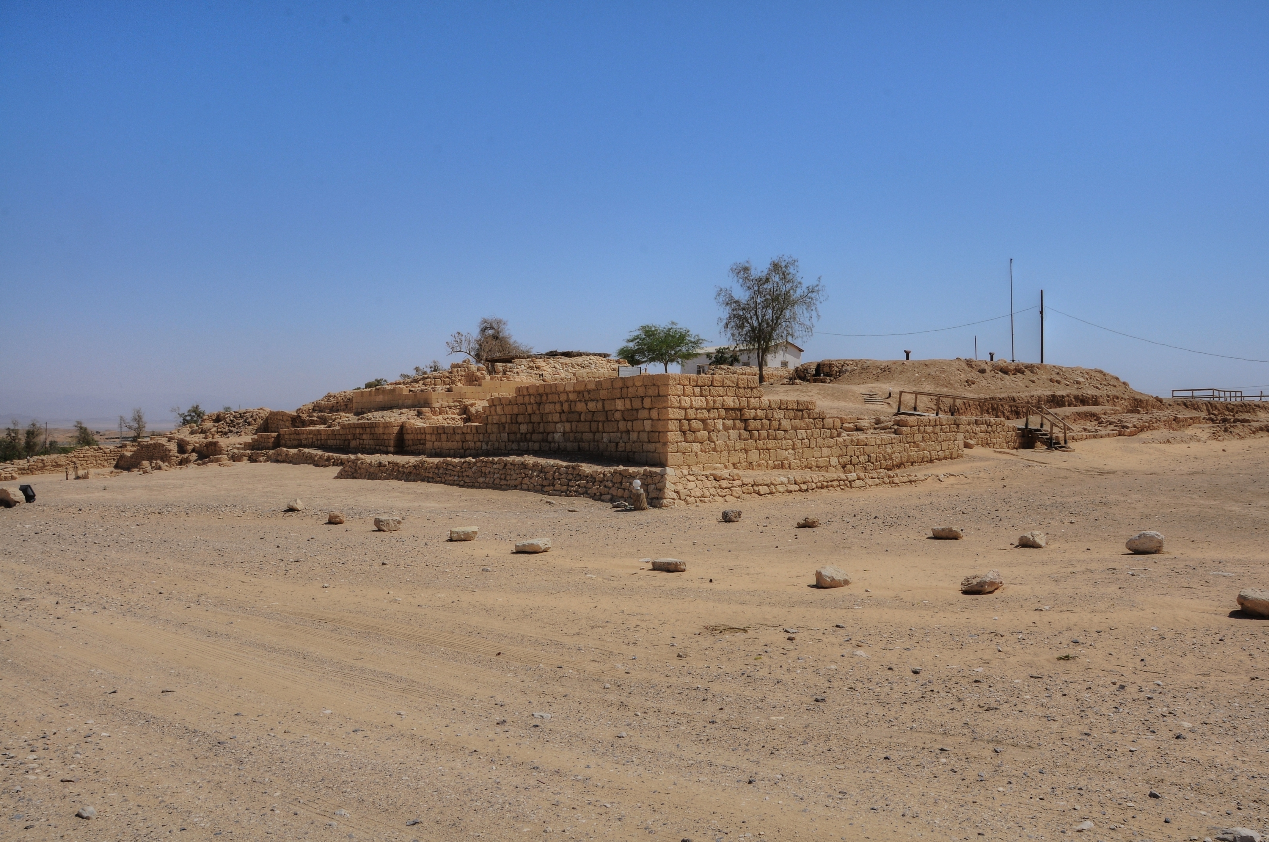
The Nabateans built their farm lands along the narrow valleys (Wadis). The idea behind this was to collect the scarce rain water (only 200-300mm annual rainfall), and multiplying it by collecting the runoff into a smaller area where they would plant the crops.
These ancient farmers constructed stone walls, such as the one seen below, thus creating a series of dry lake sections. During the winter time, the rain water was collected from the hills around the farm land, and the water flooded these lakes, thus watering the crops.
The size of a common farming section was roughly 250m in width (the size of the valley) by 120m (the distance between each separation wall). The total farming area of each section is 3 dunams (0.3 hectares). The researchers found that the ratio of the drainage basin for each such farming module was roughly 25 times larger, so each such section was watered by a drainage basin area of 75 dunams (7.5 hectares).
The Nabateans covered about 40,000-50,000 dunams (35,000 hectares) of farming area in the Negev area, out of a total of 2 million dunams (or, 2.5%). Most of the Negev farming was based on dryland farming (“Baal”) based on rainfall, while a minority of the agriculture was based on irrigated farming (“Shalkhin”).

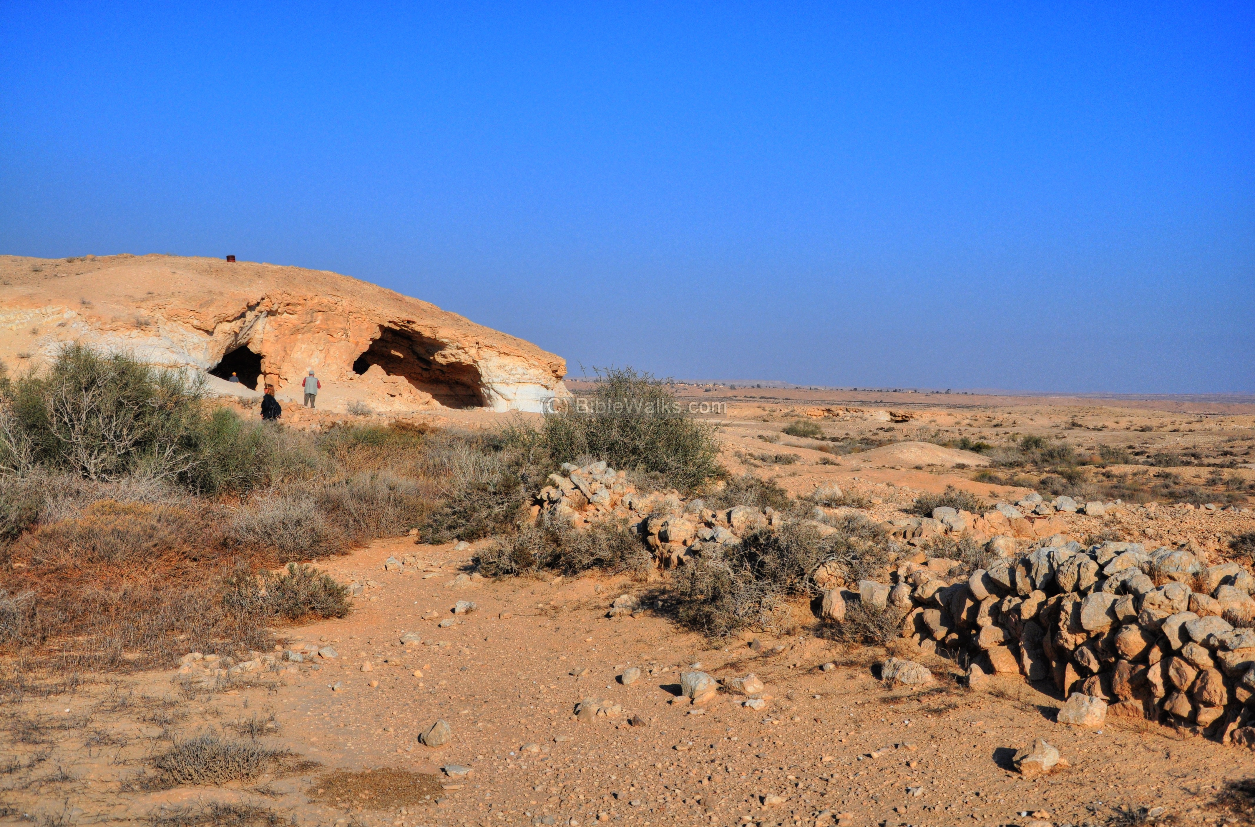
Example of ancient desert farming (from Nitzana Cave page)
- Byzantine period (4th – 7th century AD)
The Nabateans converted to Christianity starting at the 4th century AD. Their temples were replaced by Churches and monasteries in all of their cities in the Negev. Large residential quarters were built, as well as other installations and structures. The cities continued to develop and prosper.
The region became a center of pilgrimage and monasticism, starting from a major center in Gaza and then spreading around the Negev desert cities, Jerusalem and the Judean desert.
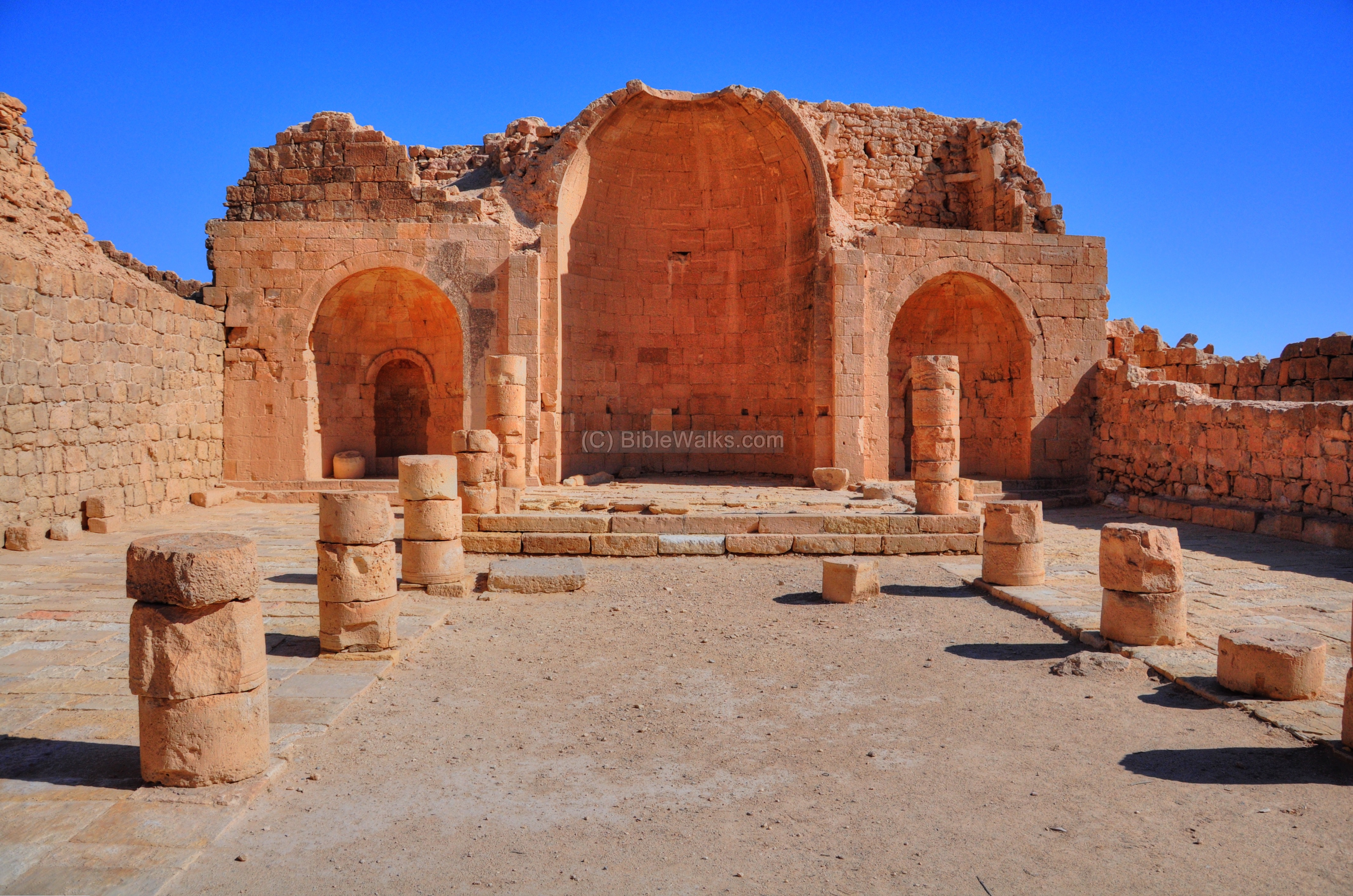
Example of Byzantine period churches – from Shivta page
The Byzantine empire encouraged the development of the border cities such as Nessana and Shivta by financing public projects and roads, reducing taxes and relocating population from the north. The residents of the city offered services to the great number of pilgrims who passed through the city. Their cities prospered in the 6th and 7th century.
- End of the Nabatean cities (7th-9th century AD)
The Nabatean cities reached a tragic end following a massive earthquake (around 630BC), as well as the result of the Persian and Muslim conquests.
After the Muslim conquest (about 634 AD) the cities gradually declined. The sources of income (farming and pilgrimage services) started to dry out. The residents gradually deserted their homes, and the cities like Nessana were totally abandoned in the 9th century. This led to the abandonment of the Nabatean cities.
The ruined cities remained in ruins until the 20th century.
Sites of the Nabateans:
The following table lists the sites related to the Nabateans that have been reviewed in BibleWalks.com.
Click on the site’s title to see more information on each site. Click on the photos to enlarge them.
| Site | What | Where | Form | Sample Photo |
| __________ | _________________ | ________ | ________ | _________________ |
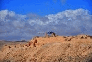
| (Click to get to the site) | Impressive and well preserved Nabatean site, the first station in Israel along the Incense and Spice route. | Arava | Fortress,
Inn |
 |
| Mamshit
(Mampsis, Kurnub) |
An ancient Nabatean, Roman and Byzantine desert city situated along the Incense road. | Near Dimona | City | 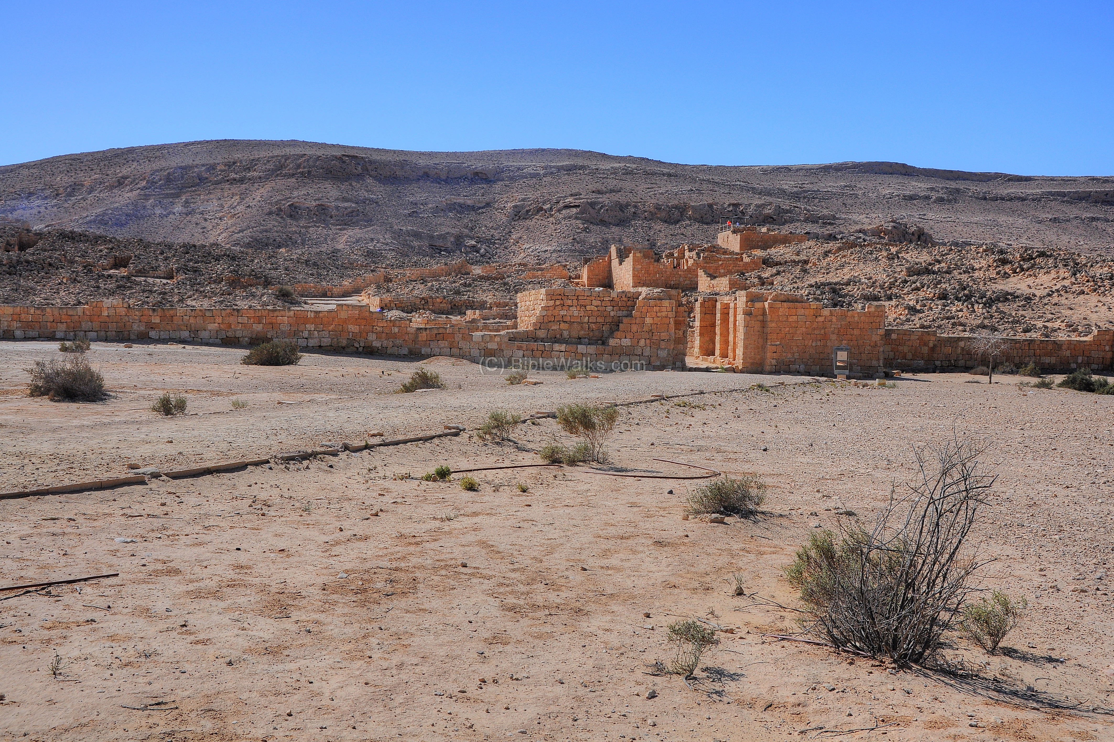 |
| Shivta
(Sobota) |
Impressive ruins of a Nabatean, Roman and Byzantine city in the Negev desert. | SW of BeerSheba | City |  |
| Nitzana Cave | Nabatean quarry cave and ancient farming lands | Nitzana | Quarry,
Farming |
 |
| Nitzana
(Nessana) |
Founded as a Nabatean fortified station along the Incense route, then Byzantine city. | Nitzana | Fortified station | 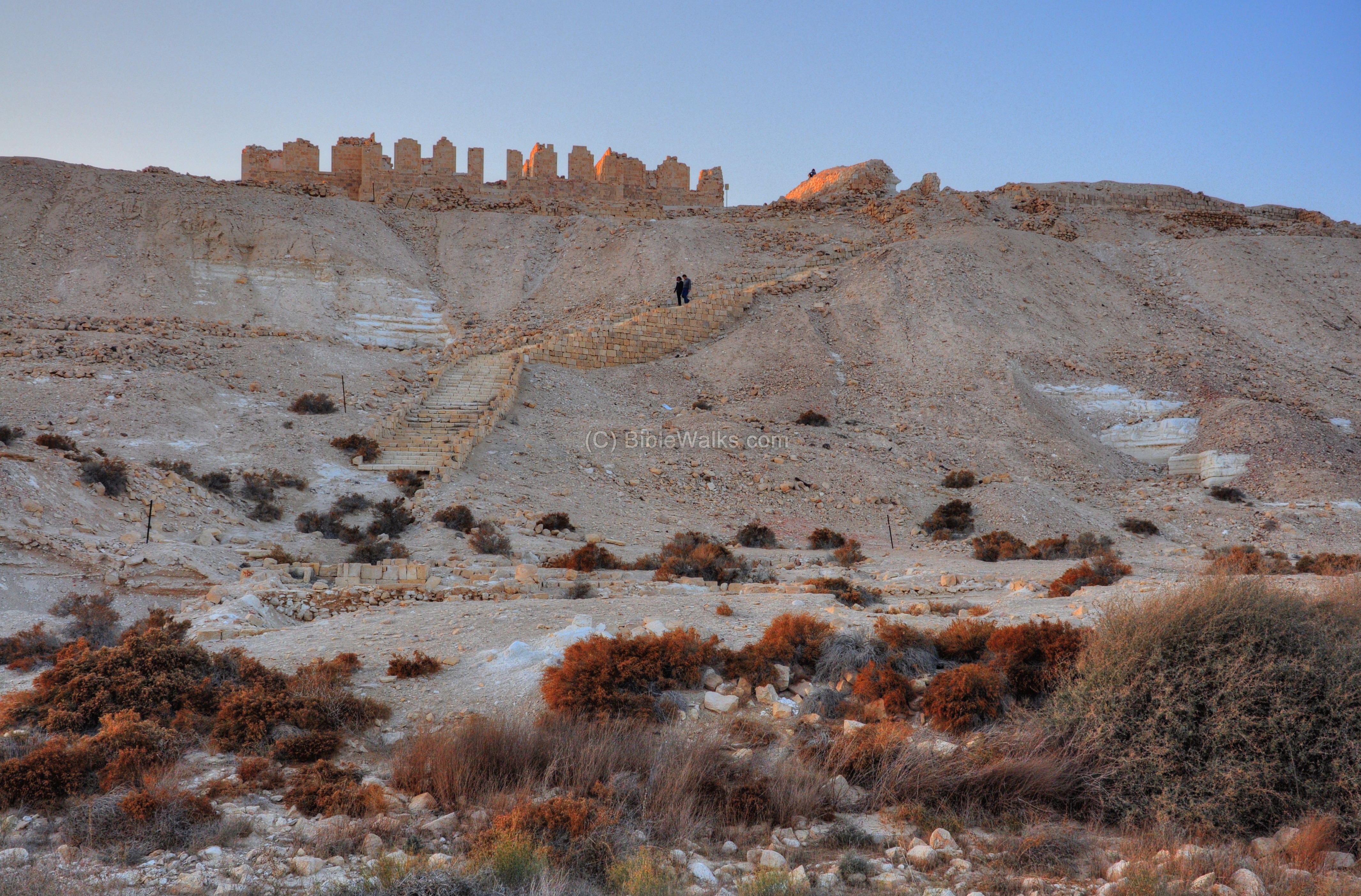 |
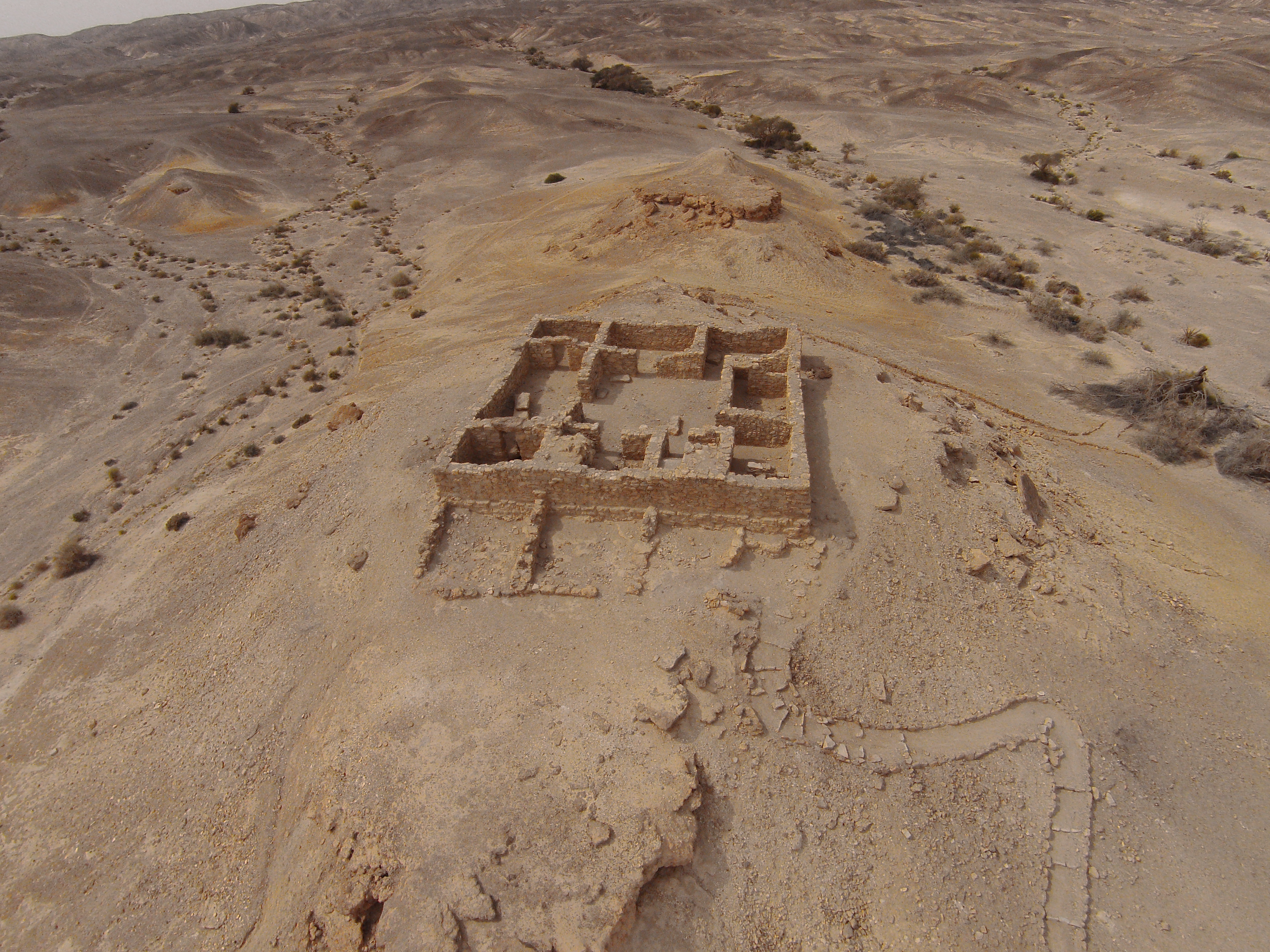
| Ma’ale Akrabbim (“The Ascent of the Scorpions”) | Nabatean trade route stations: lower (Rogem Zafir), upper (Horvat Zafir) and nearby fortress (Mazad Zafir) | Arava | Route,
stations, fortress |
 |
| Loz Cisterns | An archaeological site in Negev Highland area, with 17 water cisterns. | Negev Highland | Water reservoirs, farming | 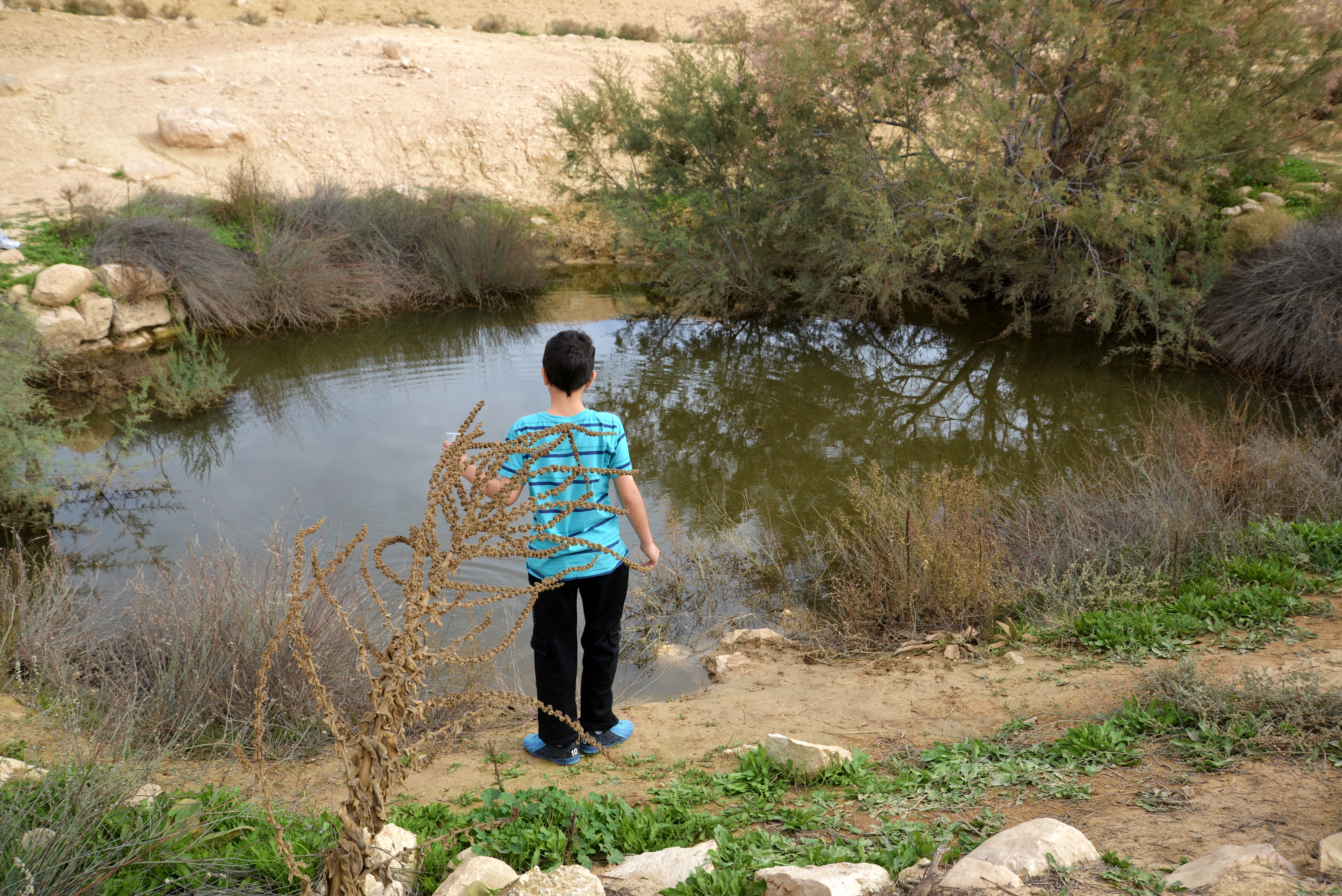 |
| Tamara | Israelite, Nabatean and Roman period fortresses located near the spring of Hazeva oasis | Arava | Fortress,
station |
 |
| Be’erotaim | A desert Oasis and Nabatean farmng. | South of Nitzana | Farming |  |
| Gaza | The major Nabatean port – the end of the Incense route. | Shefela | Harbour city |  |
| Avdat
(Oboda) |
A Nabatean city on the Incense Route; became an impressive desert city during the Roman/ Byzantine periods. | Central Negev | City, station | 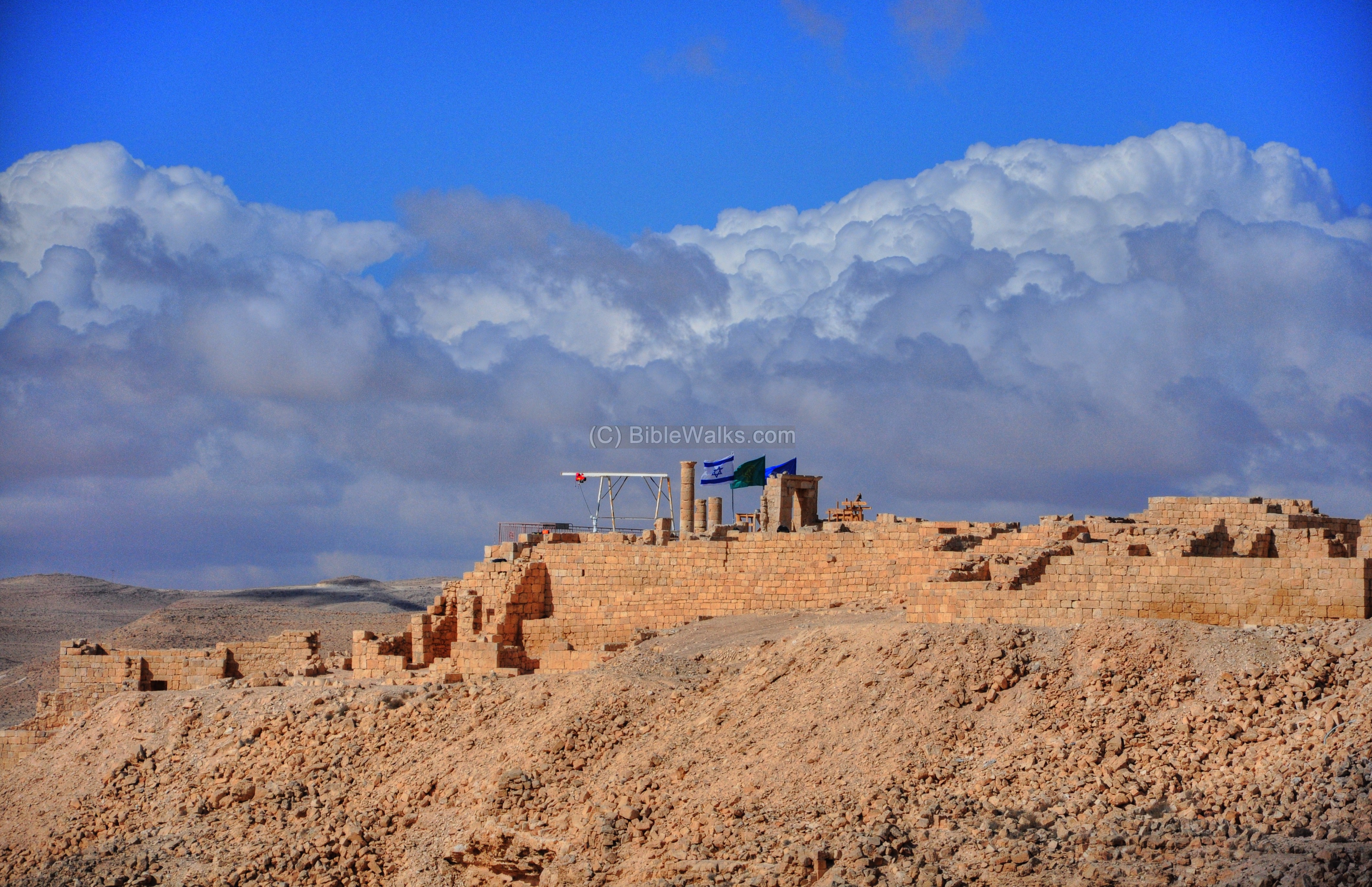 |
| Haluza
(Elusa) (*) |
A large Nabatean/Byzantine city. | Western Negev | Large city | 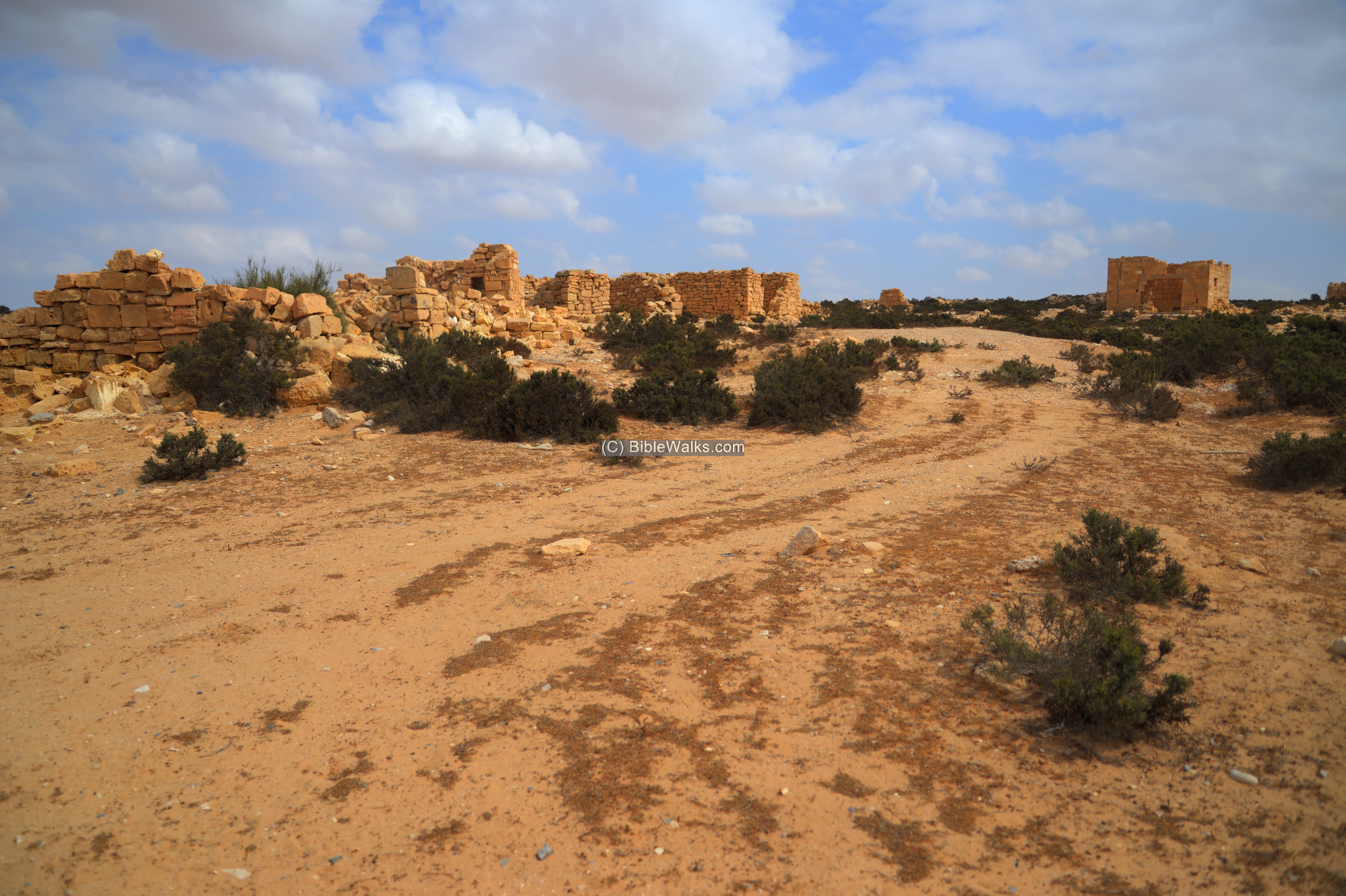 |
| Horvat Saadon
(*)
|
Ruins of a Byzantine-Nabatean town in the western Negev desert, covering an area of 30 dunam , include 3 Churches. | Western Negev | Small Town |  |
| Rehovot (in Negev)
Kh. Ruheibeh (*)
|
Ruins of the vast town scattered over 130 dunam First founded as a Nabatean town in the 1st century AD, grew as a large Byzantine desert town with more than 10,000 residents. |
Western Negev | Large Town | 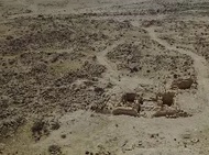 |
| Yeruham
|
Nabatean/Roman and Byzantine period desert fortressbetween Avdat and Mamshit. | High
Negev
|
Fortress, Caravansarai | 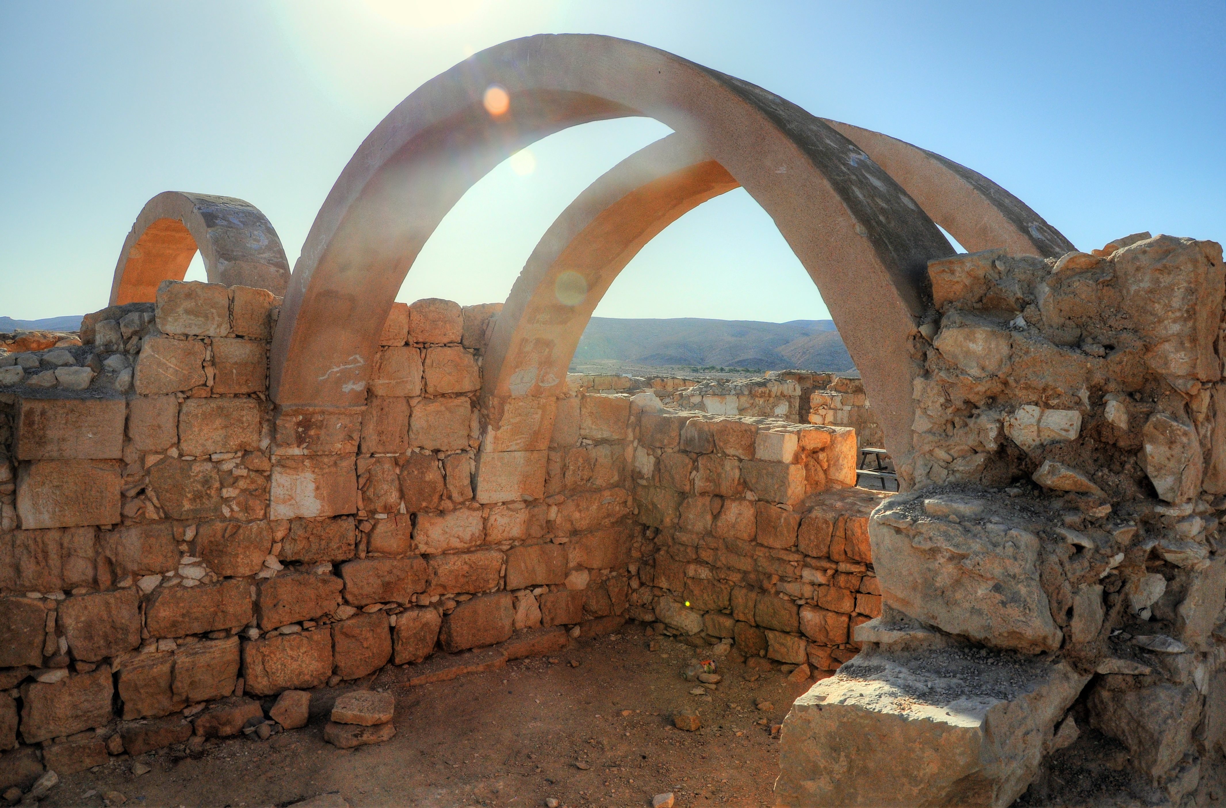 |
| Petra(*)
|
Capital city of the Nabateans | Jordan | City | |
Note: (*) Starred sites were not yet published (although visited by BibleWalks staff) and will soon be added.
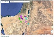
Map of sites:
View an interactive map of the Nabatean sites.
Etymology – behind the name:
- Nabatean – “Nabat” may have originated from the word meaning “of-Arab”, a name which is known since the 10th century BC.
- Petra – from Greek: rock.
- Sela – the Biblical name of Petra, meaning in Hebrew: rock. (Judges 1 36): “And the coast of the Amorites was from the going up to Akrabbim, from the rock, and upward”
Links:
External:
Internal:
BibleWalks.com – Travel to the Nabatean sites
Crusaders <<<—Previous info—<<< All Info >>>—Next Info—>>> Deborah & Barak
This page was last updated on Mar 2, 2026 (add Yeruham)
Sponsored links: