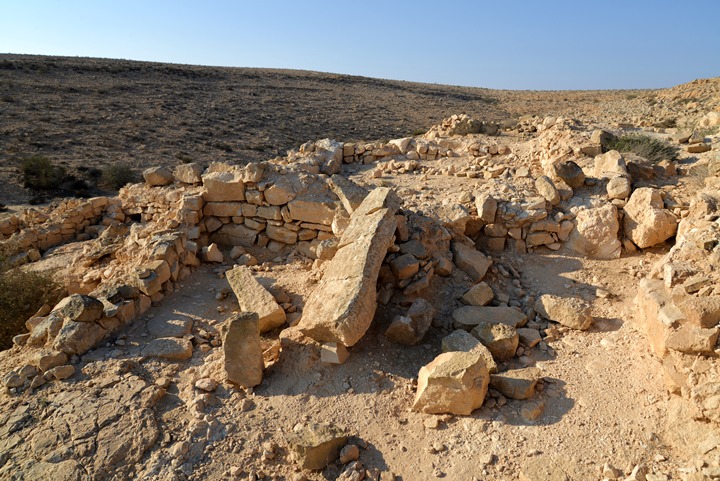
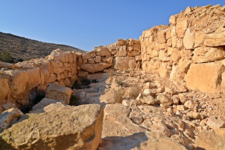
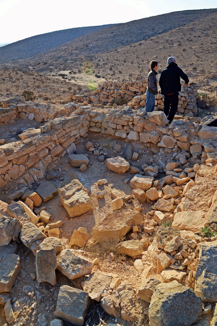
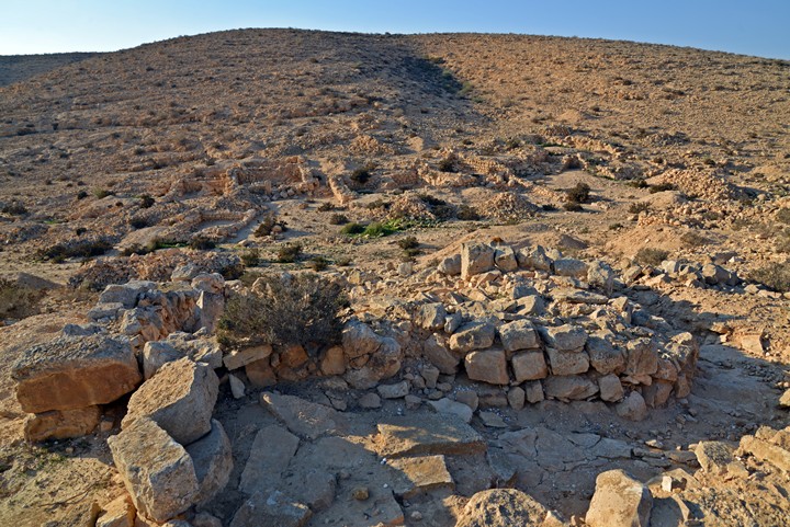
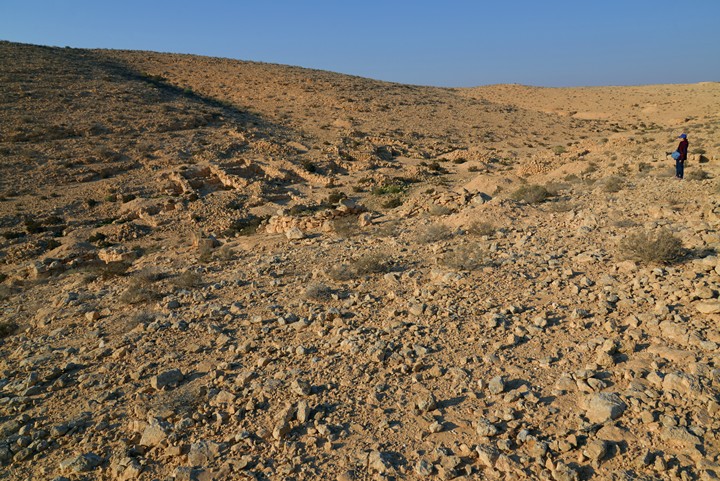
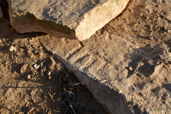
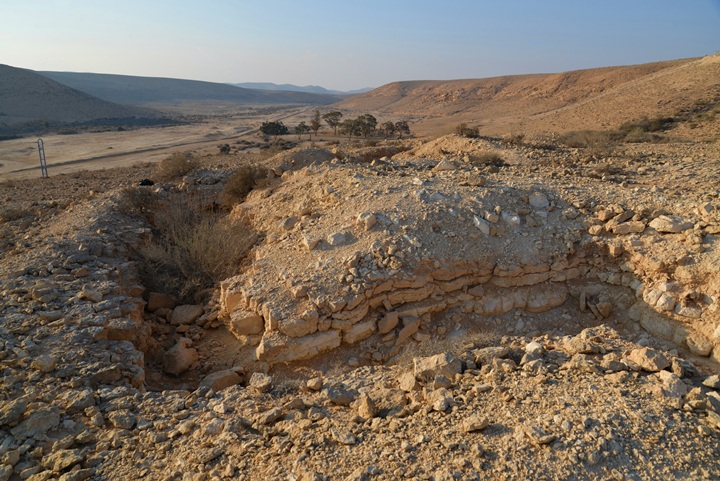
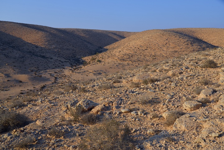
Ruins of an ancient farming settlement, dated to the late Byzantine and Early Arab periods, located near Kibbutz Sde-Boker.
* Site of the Month May 2013 *
Home > Sites > Negev > Lost City (near Sde Boker)
Contents:
Background
Location
History
Photos
* Aerial Views
* The village
* Farming
* Mosque
* Small Things
* South side
Etymology
Links
Overview:
The “Lost City” is an ancient farming settlement, which was built along a number of streambeds near Kibbutz Sde-Boker (“herding field”). It is dated to the late Byzantine and Early Arab periods.
The identification and purpose of this previously unknown site posed many questions and debates, so it received its mystic title “lost city”. The name was suggested by the excavator of the site, the late Negev archaeologist Yehuda D. Nevo (1932-1994), who resided in Kibbutz Sde-Boker.
Location and Map:
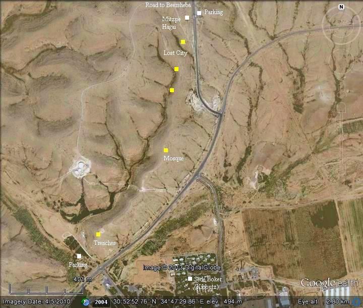
The site is located about 0.5KM north of Kibbutz Sde-Boker, 250 west of Halukim junction. The ruins are located along a number of streambeds, in parallel (but hidden) to highway #40 from BeerSheba to Mizpeh-Ramon. The north-most section starts from the hidden valley below Mitzpeh Hagai, where you can park your car and walk to the south of the site.
History:
-
Byzantine-Early Arab period
The site is dated to the end of the Byzantine period (6th-7th Century AD) and the beginning of the early Arab period (7th – 9th century).
The area of modern Sde-Boker was a junction of ancient crossroads. One of these routes (known as the Incense & Spice route during the Roman/Nabatean period) led from Oboda (Avdat) to the port city of Gaza and the north of Israel. Its location is marked as a red square on the Biblical map below.
Map of the area around the site (marked by red square) – during the Roman/Byzantine periods (based on Bible Mapper 3.0)
-
Modern Period
The “Lost City” was excavated and partially reconstructed by Yehuda Nevo. The archaeologist also published hundreds of inscriptions that were discovered at the site. The archaeological research of the “Lost City” shed light on two transitions of the society of the Negev – the slow process of penetration of Christianity during the Byzantine period, and the fast conversion to Islam following the Islamic conquest in 738 AD.
In 2011 a controversial plan was submitted to construct a 40 Dunam (10 acres) resort near and on top of the site. Public outcry hopefully will block its approval, so the “lost city” will not be lost again.
Photos:
(a) Aerial Views:
A drone captured these aerial views over the site in November 2018. The first photo shows a general view of the village, with structures along two streambeds. On the left side is highway #40, and on the top left corner is junction “Halukim” with highway “204”.
The next photo is a closer view of the structures nearest to the highway.
A reverse view of these structures near the highway is in the next photo. Notice the walls that cross the valley, used to hold the rain water in order to irrigate the crops.
On the farther streambed is another set of structures. In the far left background is Kibbutz Sde Boker.
![]() The following YouTube video shows a flight of a drone above the site.
The following YouTube video shows a flight of a drone above the site.
(b) The city:
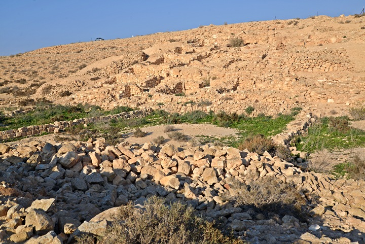
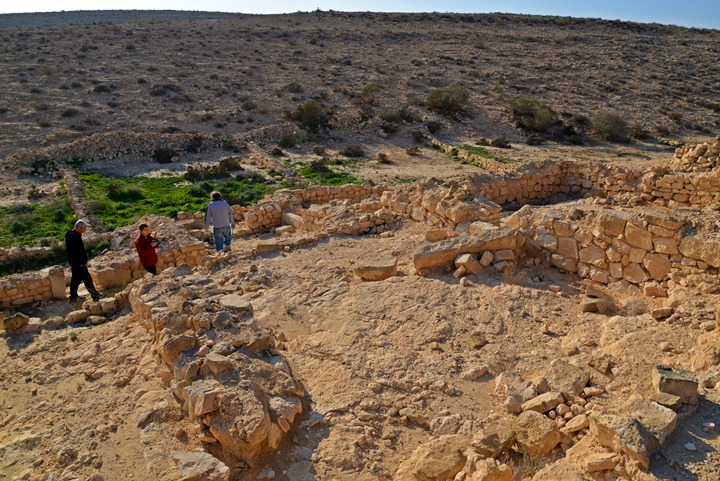
There are about 350 rooms and structures which are built on the foothills along the narrow valleys.
Click on the photos to view in higher resolution…
The houses are rectangular in design, built along the foothills above the streambed.
More views of the structures are shown in the following photos.
(c) Farming:
The ancient farmers constructed stone walls along the valley, which collected the scarce rain water (only 100mm annual rainfall!). They multiplied the water by collecting the runoff from the area around the valley into the smaller areas between the walls where they planted the crops. There are no other sources of water in the area, so this was the only method of collecting water.
In the photo above and below you can notice the green areas of the farm land between the agriculture terraces along the streambed. We arrived to the site after a rainy week, so the green color can be seen only in few days of the year.
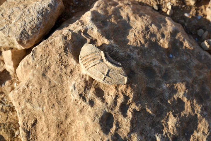
Among the structures on the north side, we found a fragment of an oil lamp. On it is a cross, an evidence of the Christian population who resided here before the Muslim conversion.
(d) Mosque:
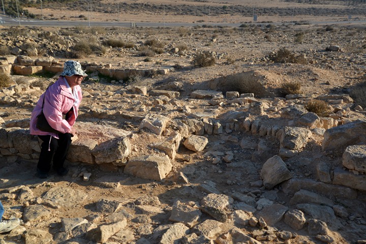
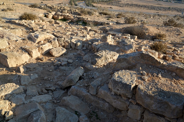
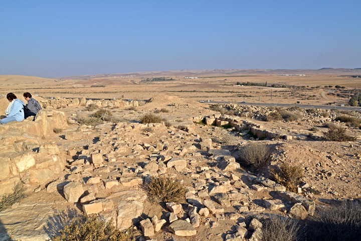
Remains of a large open mosque are located on the south side, on top of the ridge overlooking the highway.
A prayer niche – Mihrab – is embedded on the south wall, directed towards the Islam Holy cities of Mecca and Medina.
The west side of the mosque:
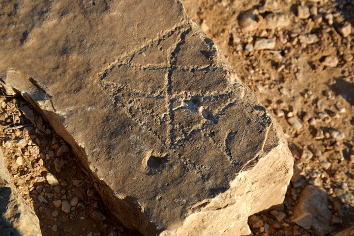
The excavators found hundred of engraved inscriptions and rock art around the area of the mosque and the site. Most of the inscriptions are ritual in nature, with various requests from Allah.
A carved stone was found under the mosque, specifying the Islam date 165 (781-782 AD). This finding implies that the mosque was built after this date.
One of the engraved stones is seen on the south side of the mosque.
Another carved stone:
(e) The small things…
Some interesting objects may be found under each stone, so take a careful look.
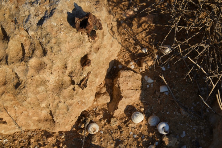
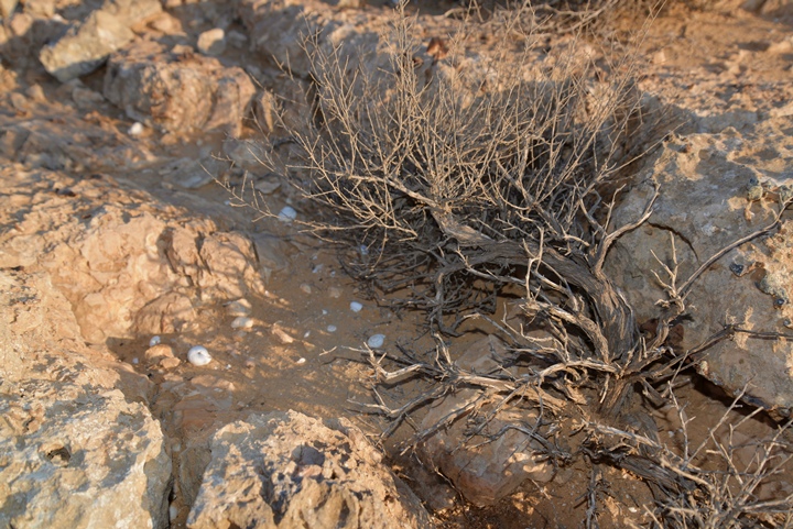
For example, these white shells indicate that some animal, probably the spiny mouse (Hebrew: Kotzan), collected the snails and left the shells near the entrance to its nest. These mice hid among the rocks, such as seen here.
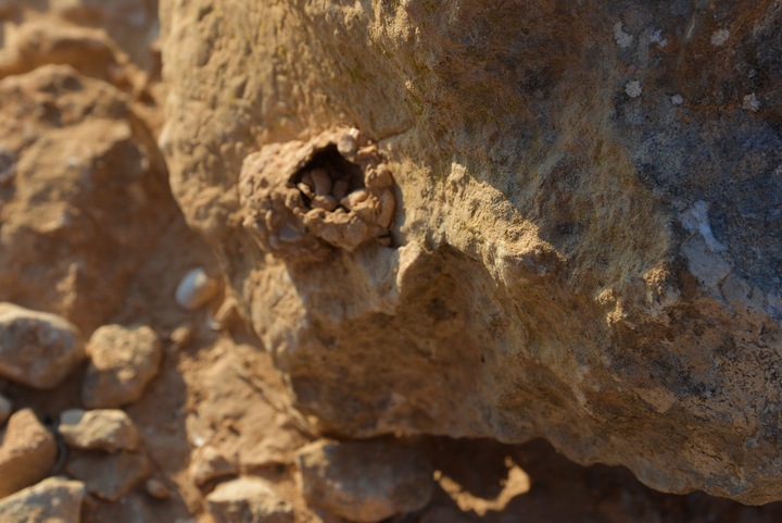
Another mice nest is seen in this picture, with remains of shells.
Looking careful on the edge of a rock – a self made “house” of some insect.
(f) South side:
On the south side of the site is a KKL picnic area called “the shepherd park”. There are also old military trenches dug into the hill.
A last view of the southern side of the site:
Etymology (behind the name):
- Sde Boker, Sede Boqer – Kibbutz, established 1952.
Meaning (Hebrew): herding field.
- El Bakar – Arabic: cowboy; source of the Hebrew name of the site
Links and References:
* External links:
- Sde Boker – Home page of the Kibbutz (Hebrew)
* Internal links:
- Ramat Boker fortress – nearby site in Nahal Boker
- Nahal Besor village- Byzantine/Early Arab site, 2km south west of the site.
- YouTube – more Aerial videos and the site specific drone video
- Avdat – A Nabatean city on the Incense Route, 10KM to the south
BibleWalks.com – Search for the lost cities of the Bible
Karkom <<<—previous site—<<<All Sites>>>—Next Negev site—>>> Ramat Boker
This page was last updated on Feb 25, 2022 (Add link to nearby village)
Sponsored links:
