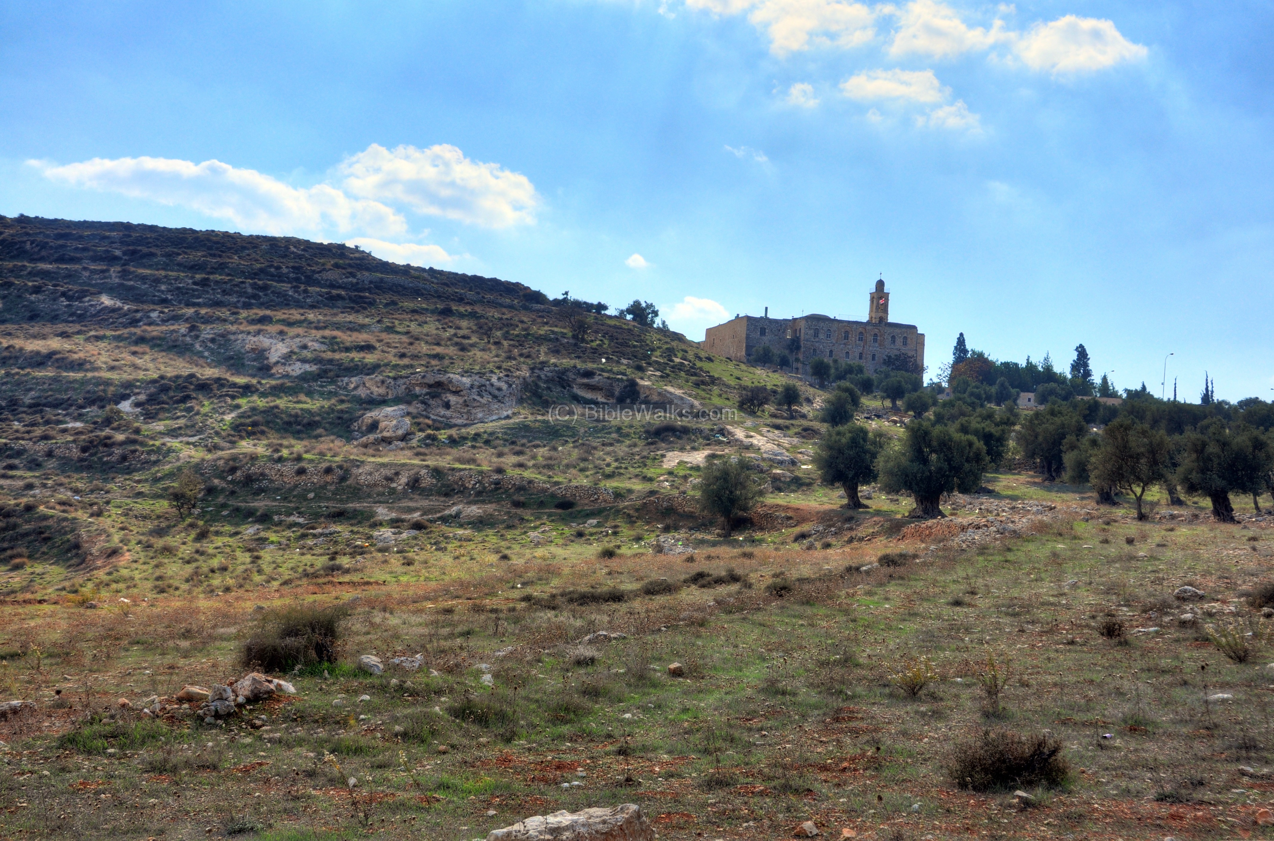
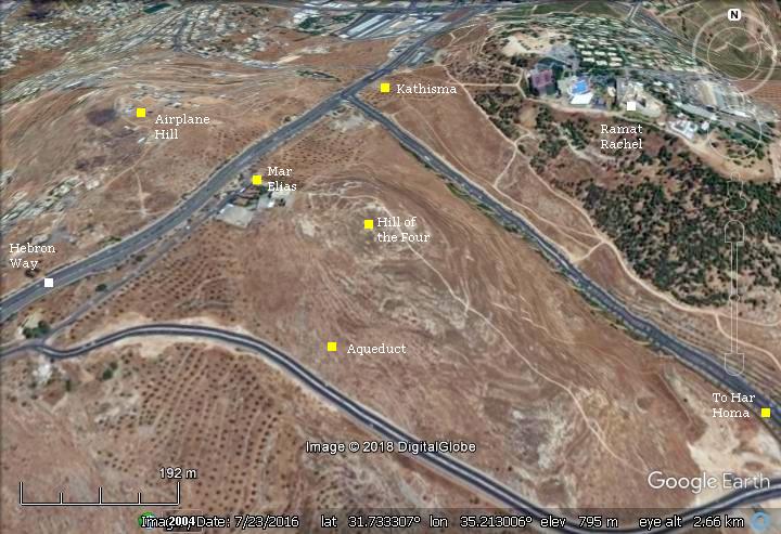
On the east side of the Mar Elias monastery, is a site named “Hill of the Four” (Giv’at Ha’Arba’a).
* Site of the month May 2019 *
Home > Sites > Judea > Hill of the Four (Givat Ha’Arba’a)
Contents:
Overview
History
Photos
* Aerial views
* General views
* Hill top
* Lower aqueduct
* Eastern foothills
* Har Homa
* Southern foothills
* North west
Biblical Refs
Etymology
Links
Overview:
On the east side of the Mar Elias monastery, is a site named “Hill of the Four” (Giv’at Ha’Arba’a). It is also known as “the hill of Elijah”. This web page reviews the major points of interest on the hill.
Location:
The site, 5km southwest of Jerusalem, is located on a hilltop east of the Mar Elias monastery and south of Kibbutz Ramat-Rachel. It is located on the side of the ancient road from Jerusalem to Bethlehem.
History:
-
Ottoman period
Conder and Kitchener of the Palestine Exploration Fund (PEF) surveyed the area during the Survey of Western Palestine (SWP) in 1874-75.
A section of their map appears here. The hill is indicated by a red square [added by BW], right to the Mar Elias monastery.
Notice the blue line crossing the hill to the right – the path of the “Lower aqueduct” which was built by the Hasmoneans and crosses the hill east of Mar Elias.
This 25 km long aqueduct started from the reservoirs known as ‘Solomon’s pools’ south west of Bethlehem. It conveyed the water to the temple mount. At later date another aqueduct was added (the “Upper aqueduct”) using a different shorter and straighter route, passing to the west of the hill (see: Airplane hill).
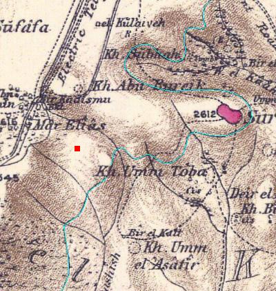
Part of map Sheets 17 of Survey of Western Palestine,
by Conder and Kitchener, 1872-1877.
(Published 1880, reprinted by LifeintheHolyLand.com)
-
Modern period
This hill was a Jordanian military post before the 1967 war. A series of bunkers and ruins of these fortifications are cut deep into the top of the hill.
In 1956 a conference of archeologists from the Israel Exploration Society, visiting nearby Ramat Rachel, was attacked by a Jordanian soldier, positioned on this hill. He opened fire at the crowd, killing four people and wounding 16. The hill is named “the four” honoring their memory.
Photos:
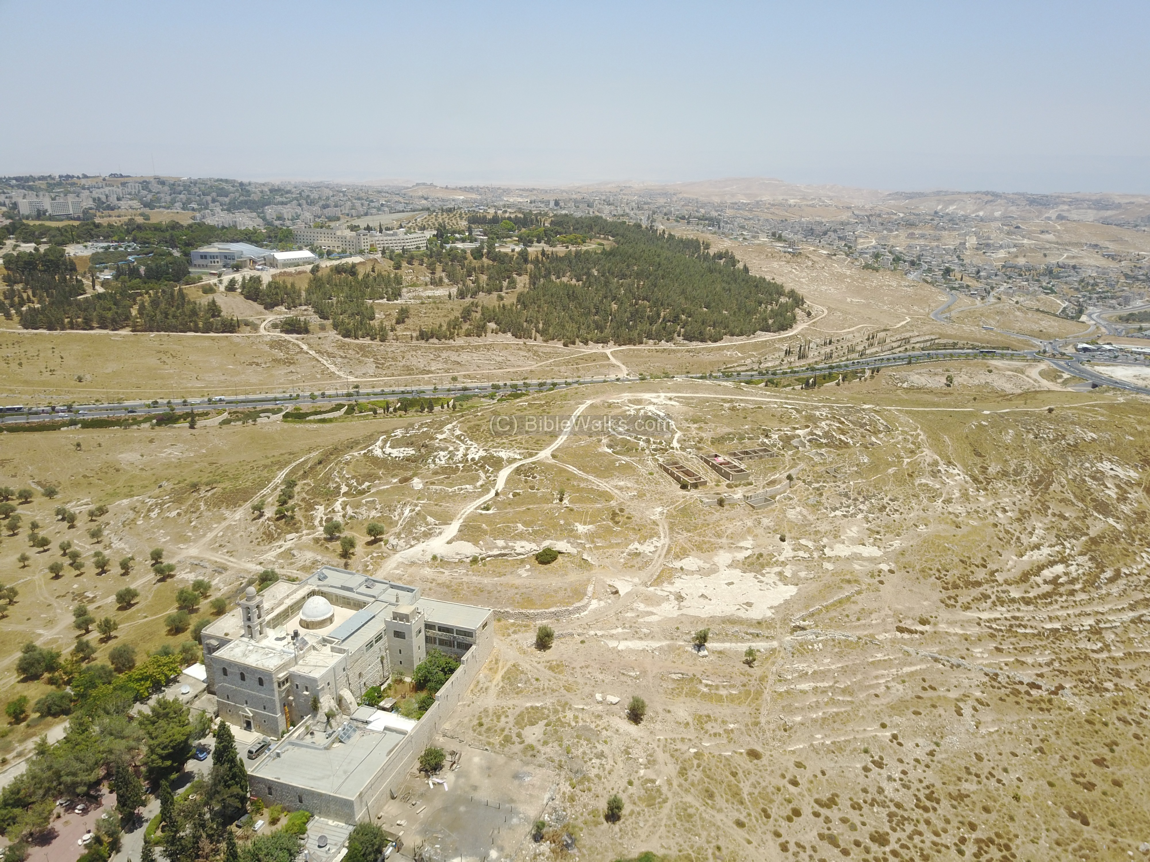
(a) Aerial views
A drone captured this view of Mar Elias and the “Hill of Four” from the south west side. On the left background is Kibbutz Ramat Rachel. In the far background is Jerusalem.
Click on the photos to view in higher resolution…
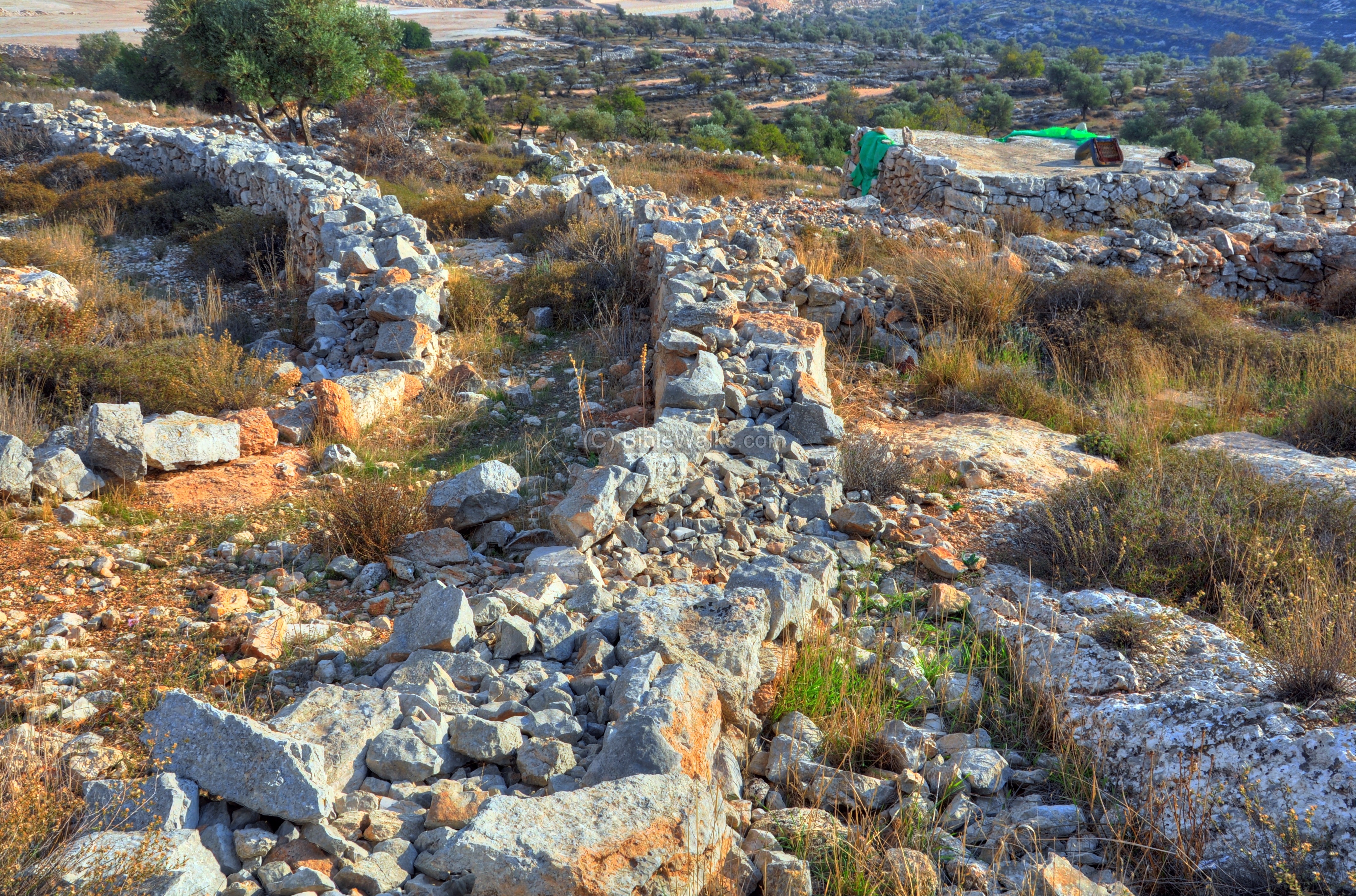
(b) Hill top
The hill was a Jordanian military post before the 1967 war. A series of bunkers and ruins of these fortifications are cut deep into the top of the hill.
In 1956 a conference of archeologists from the Israel Exploration Society was attacked by a Jordanian soldier, positioned on this hill. He opened fire at the crowd, killing four people and wounding 16. The hill is named “the four” honoring their memory.
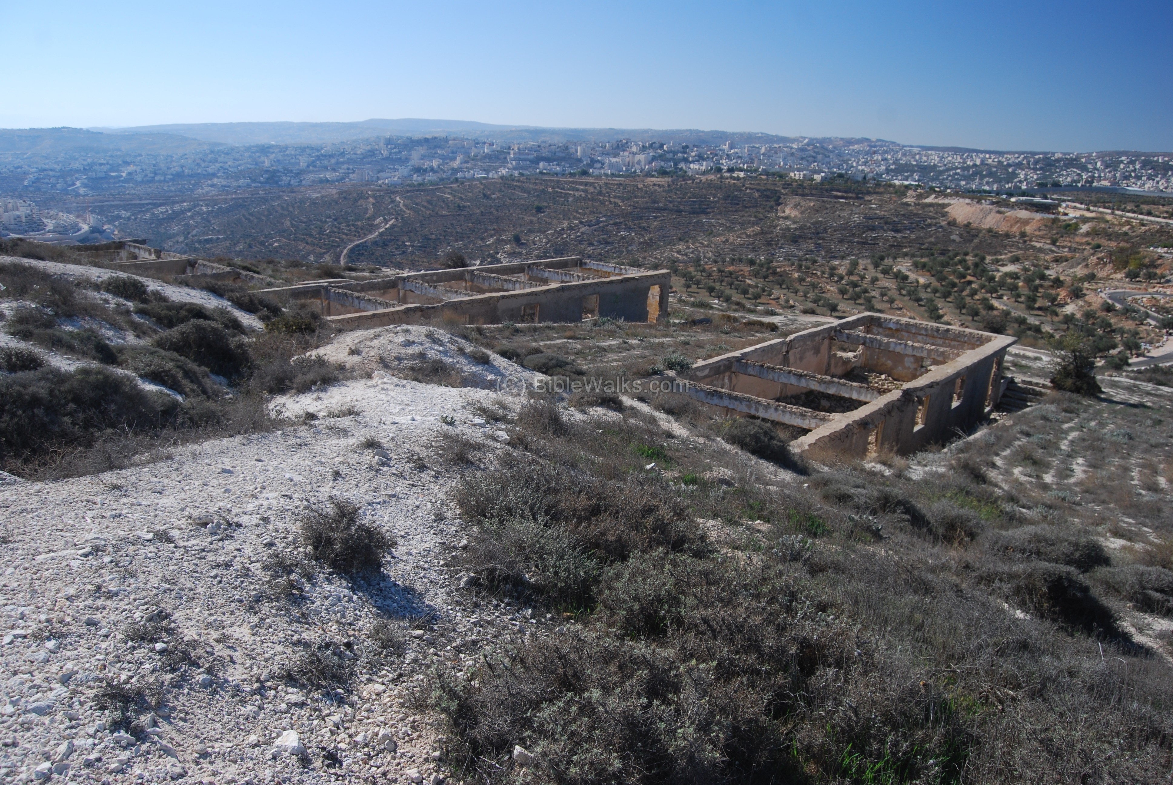
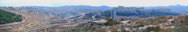
A beautiful panorama is seen from its top – views of Jerusalem on the north, Bethlehem on the south, Har-Homa and the Judean desert on the east, and even Herodion on the south east.
The following photo is a scene of the east. Clicking on the photo will open a flash viewer, which will allow you to move around, and open a full-screen view.
<—– Kibbutz Ramat-Rachel <— Judean desert —–> <—– Har-Homa ——————–> <–Herodion –>
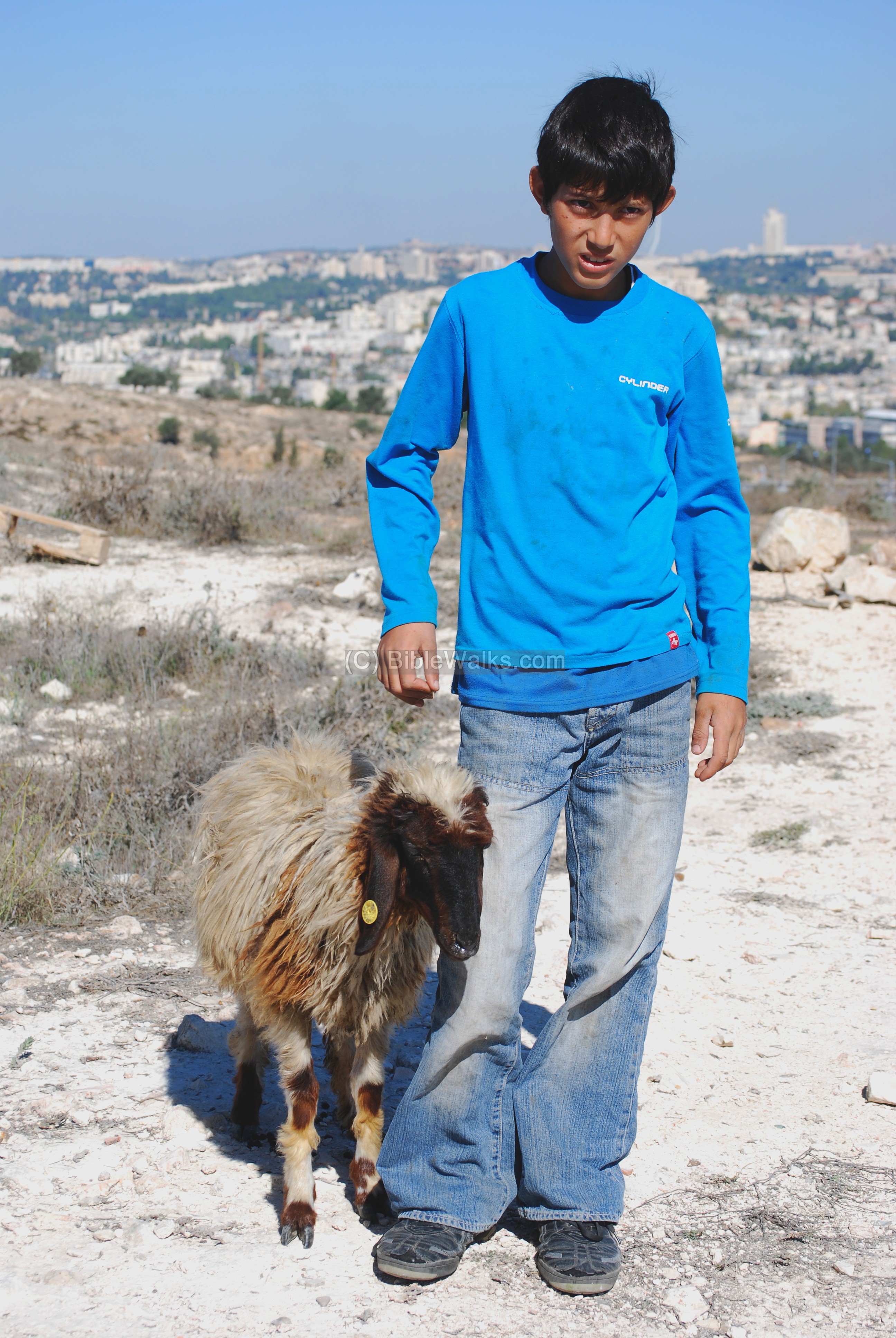
On the top of the hill we met children shepherds and their goats, grazing between the trenches of the old Jordanian bunkers.
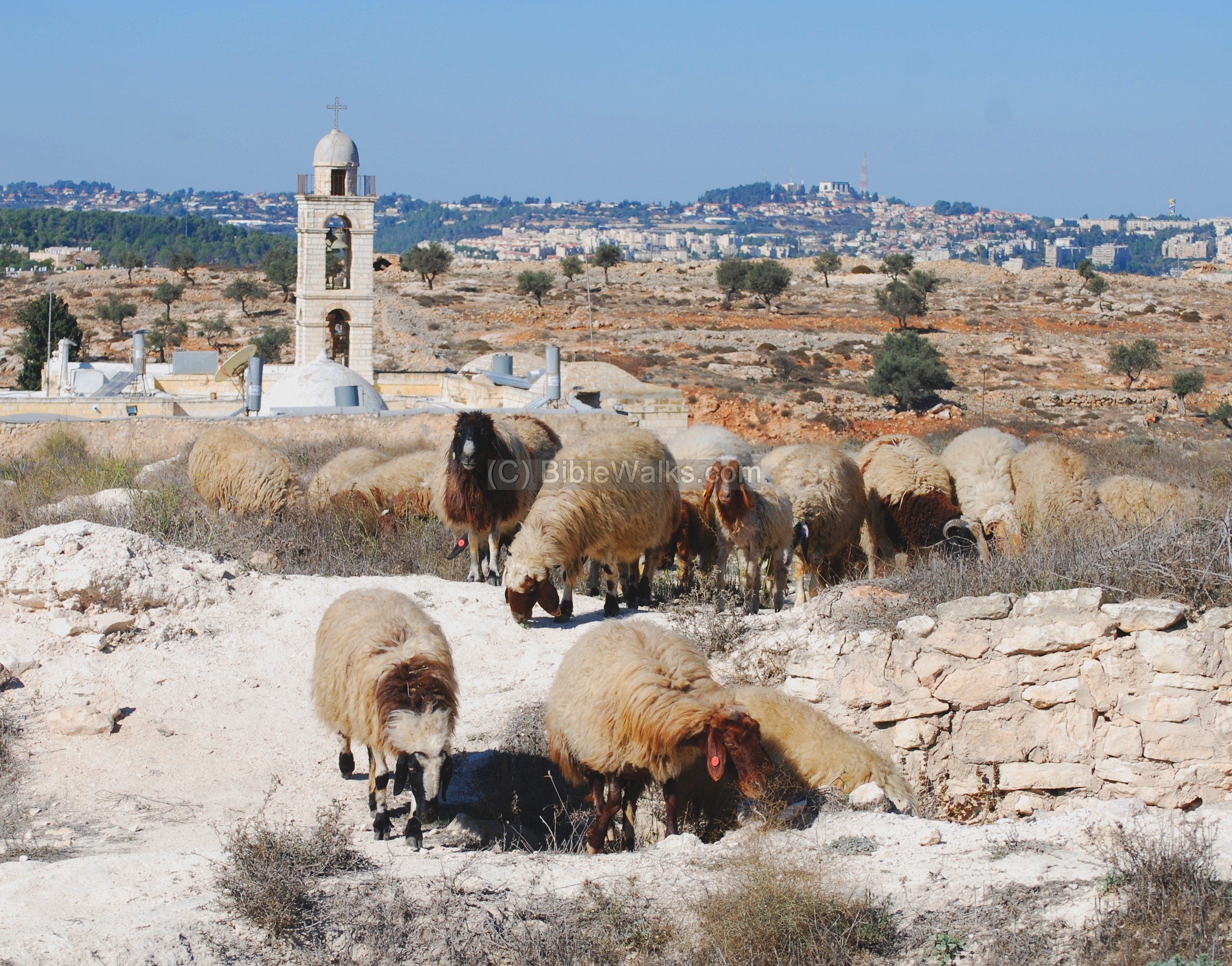
The goats and shepherds are seen below, with the background of Jerusalem (left) and the archaeological park at Kibbutz Ramat-Rachel (right).
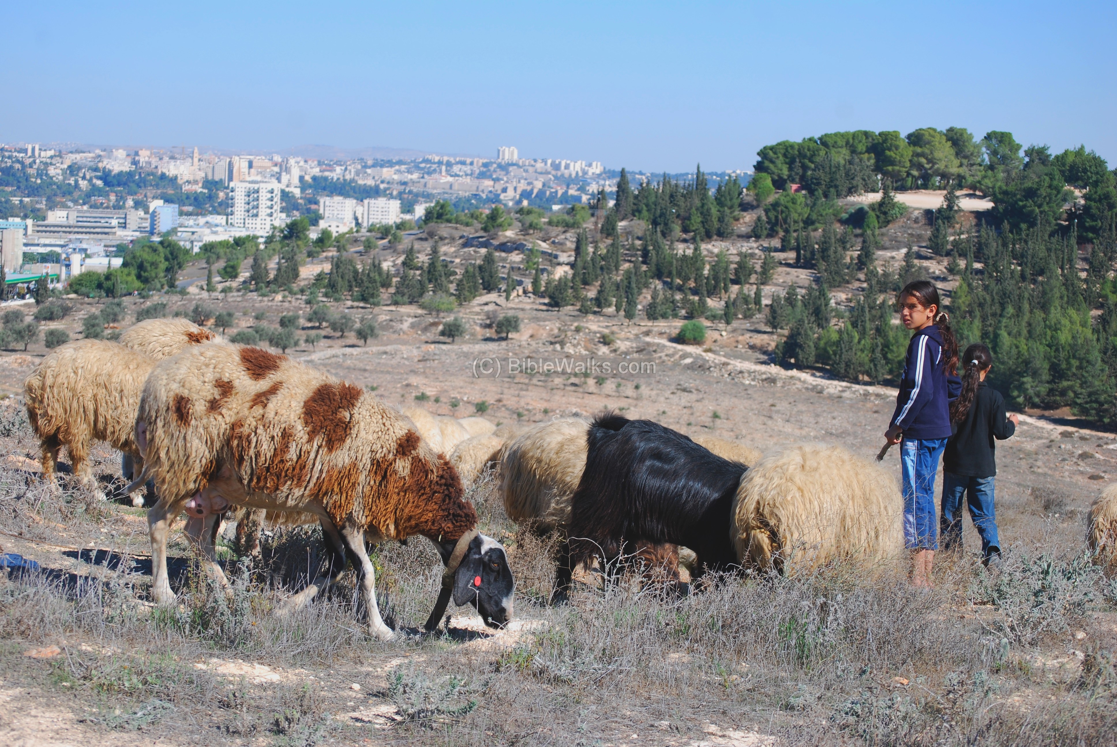
Another view of the third shepherd.
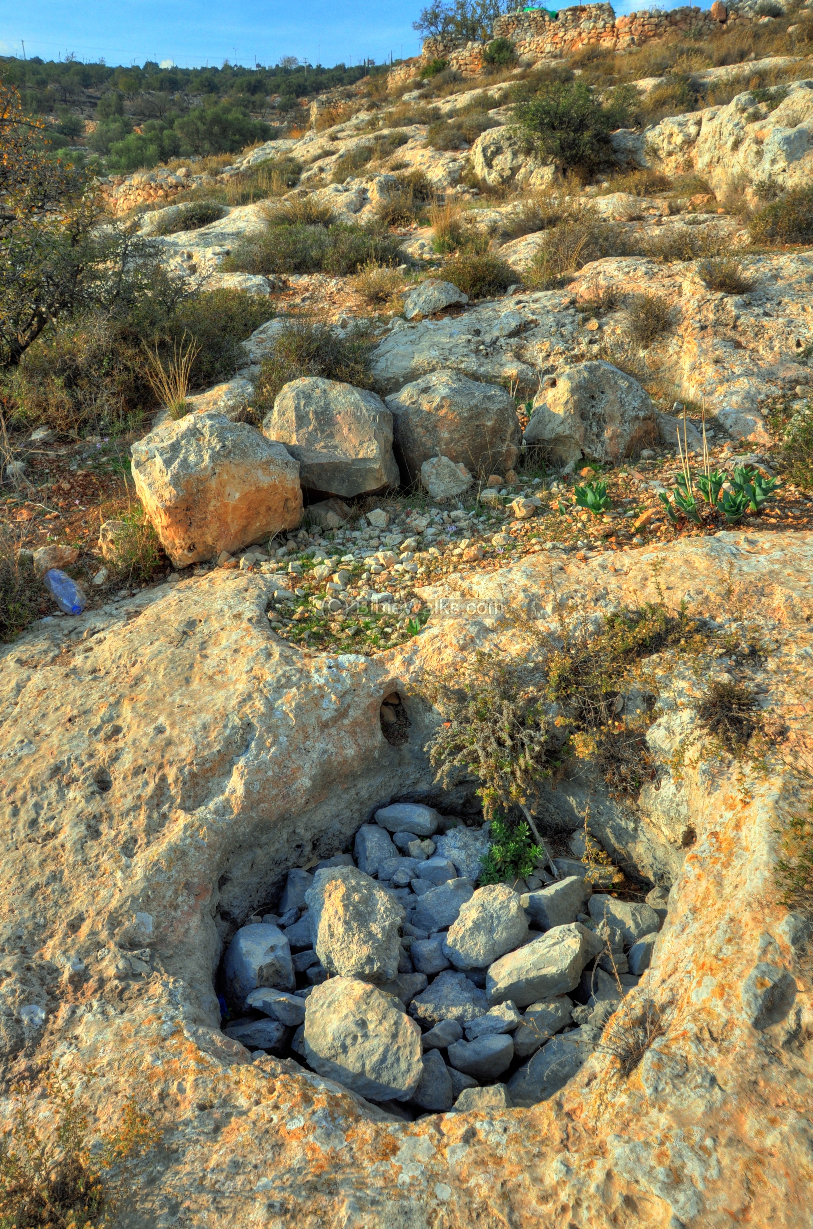
(c) Lower Aqueduct
On its foothills are the ruins of the “Lower Aqueduct”, that brought water from the Ein Eitam spring (alt. 765m), via the Solomon pools reservoir, to the Temple mount (alt. 735m). It was built by the Hasmoneans around the second century BC, and supplied water to Jerusalem for 2,000 years.
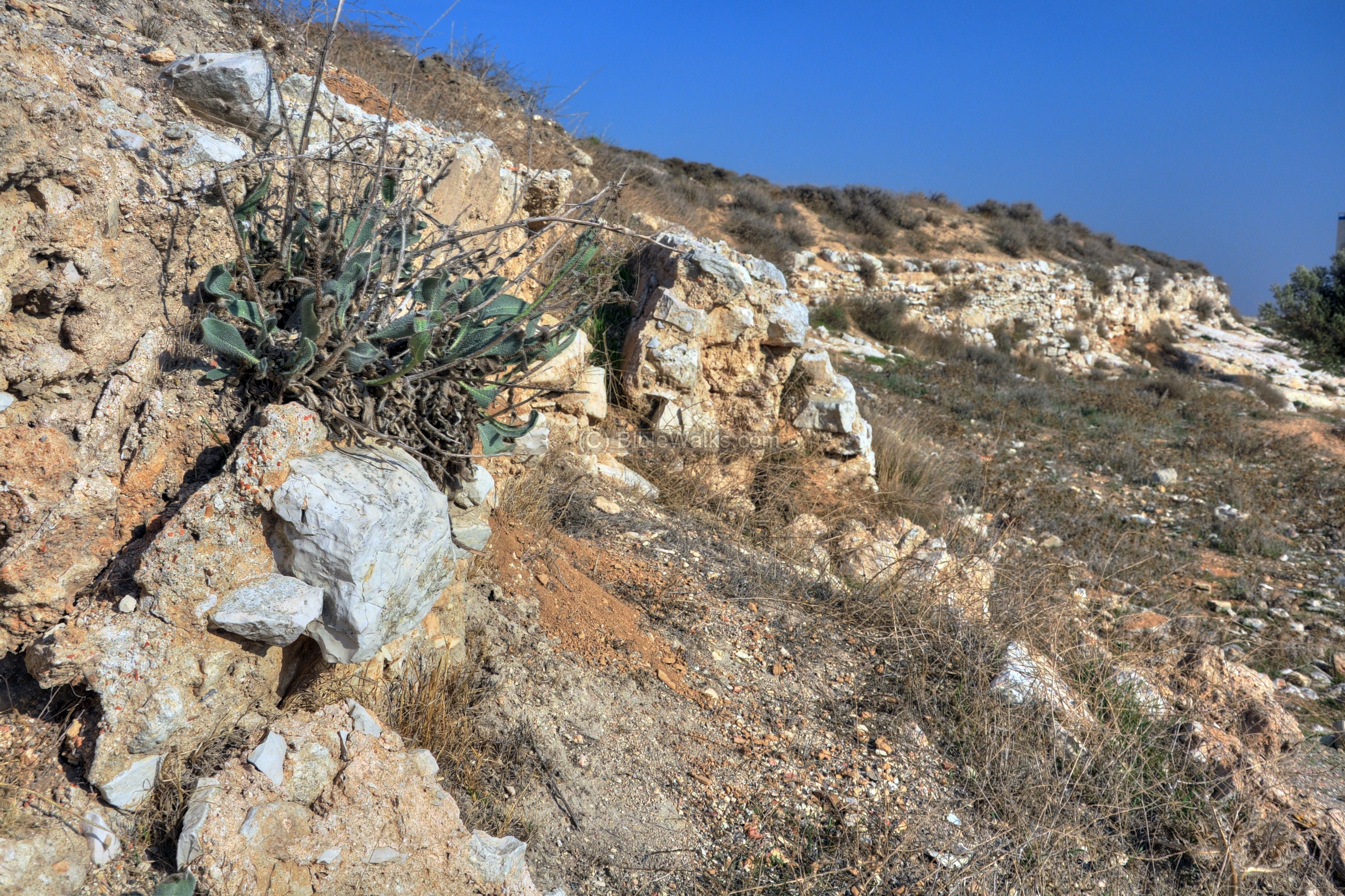
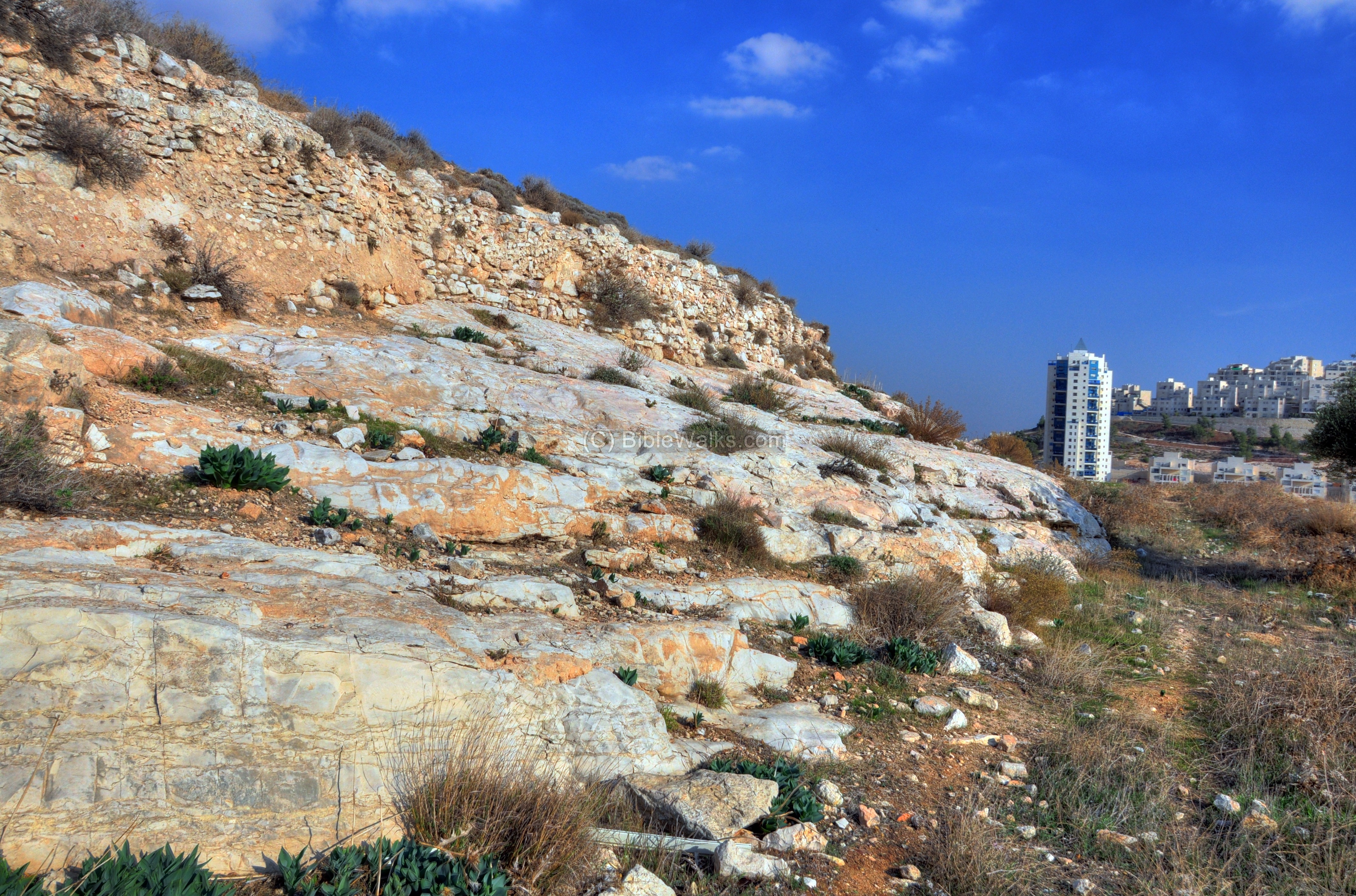
The aqueduct passes along the height level of 745M on the north side of the hill, along the road to Har-Homa (“wall mountain”, the new south-east neighborhood east of the hill seen here on the right).
A view of this section is next. The wall of the aqueduct was 1.5m thick, made of small stones enforced with cement.
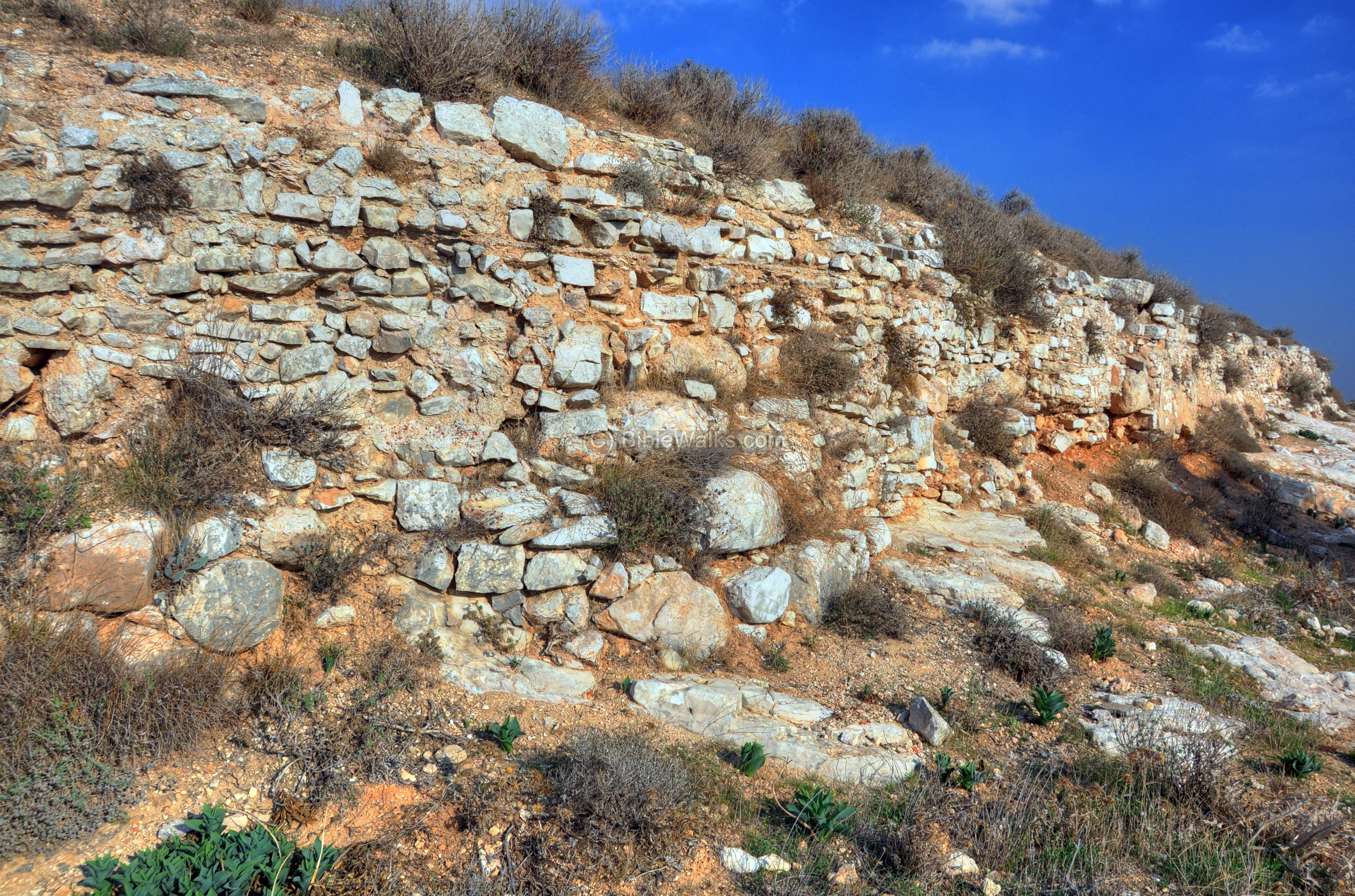
A closer view of the pipe is next. The average channel is 50cm wide, 60 cm high, with side walls 30 cm thick. The channel is covered with layers of plaster to prevent the water to spill out. Flat slabs covered the channel.
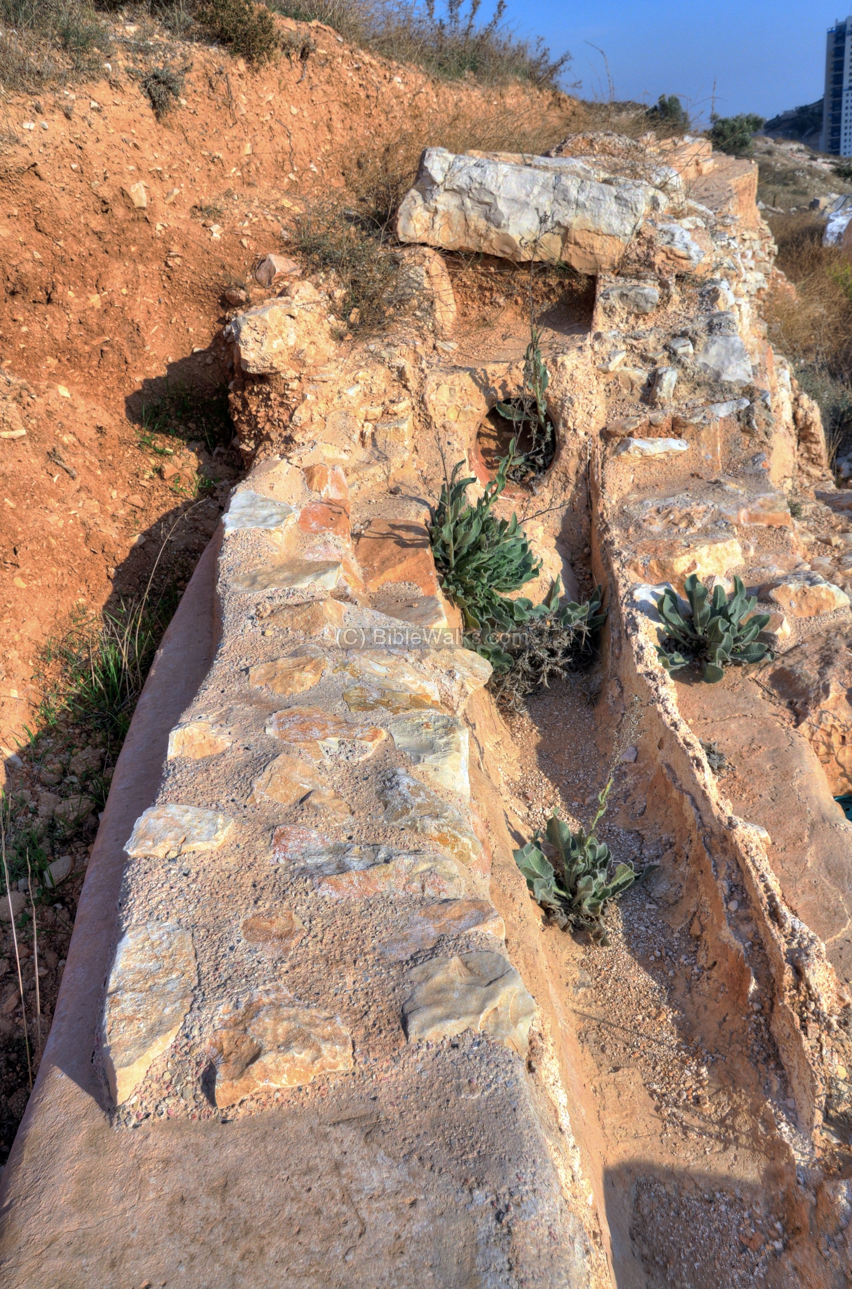
Another cross section of the aqueduct:
Some section has a cover of slabs still in place, although many of the stones were carried away to be embedded into housings:
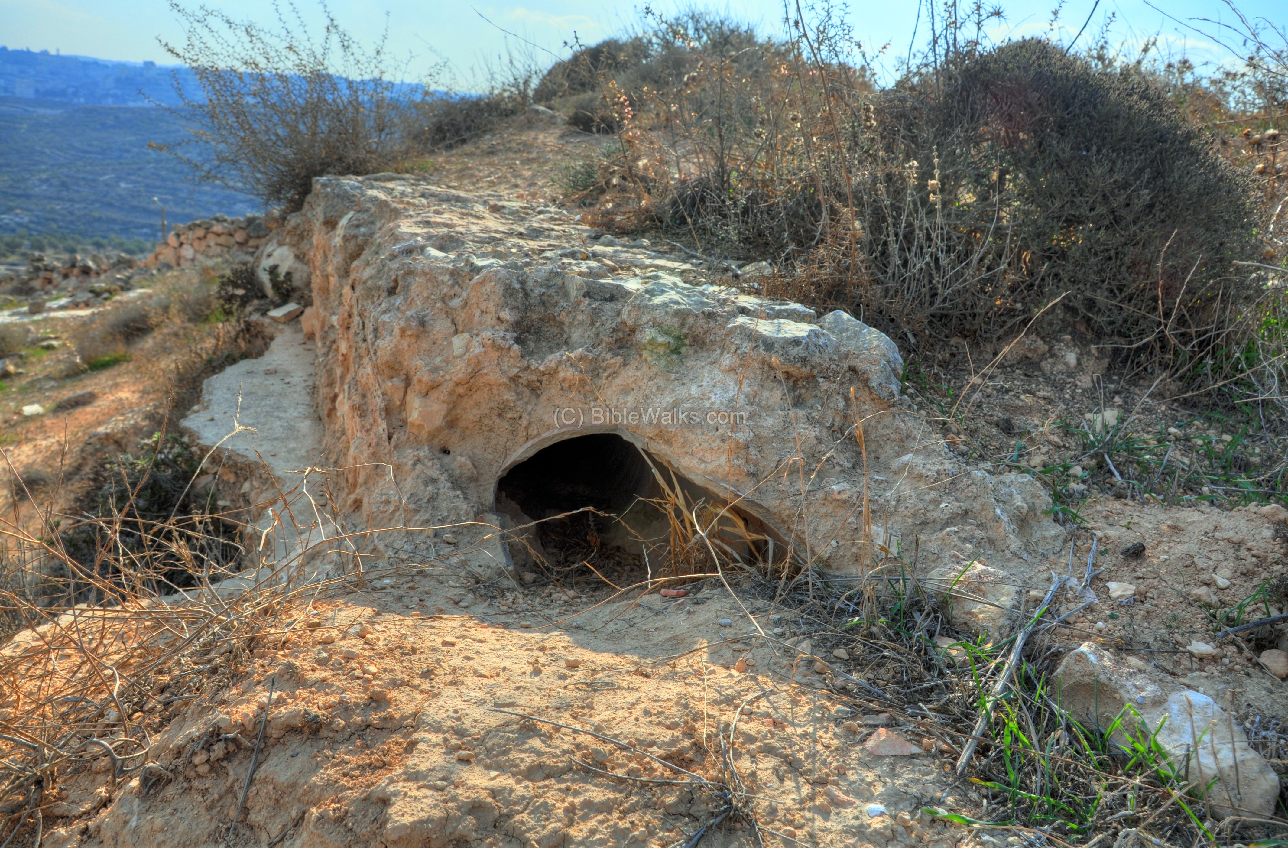
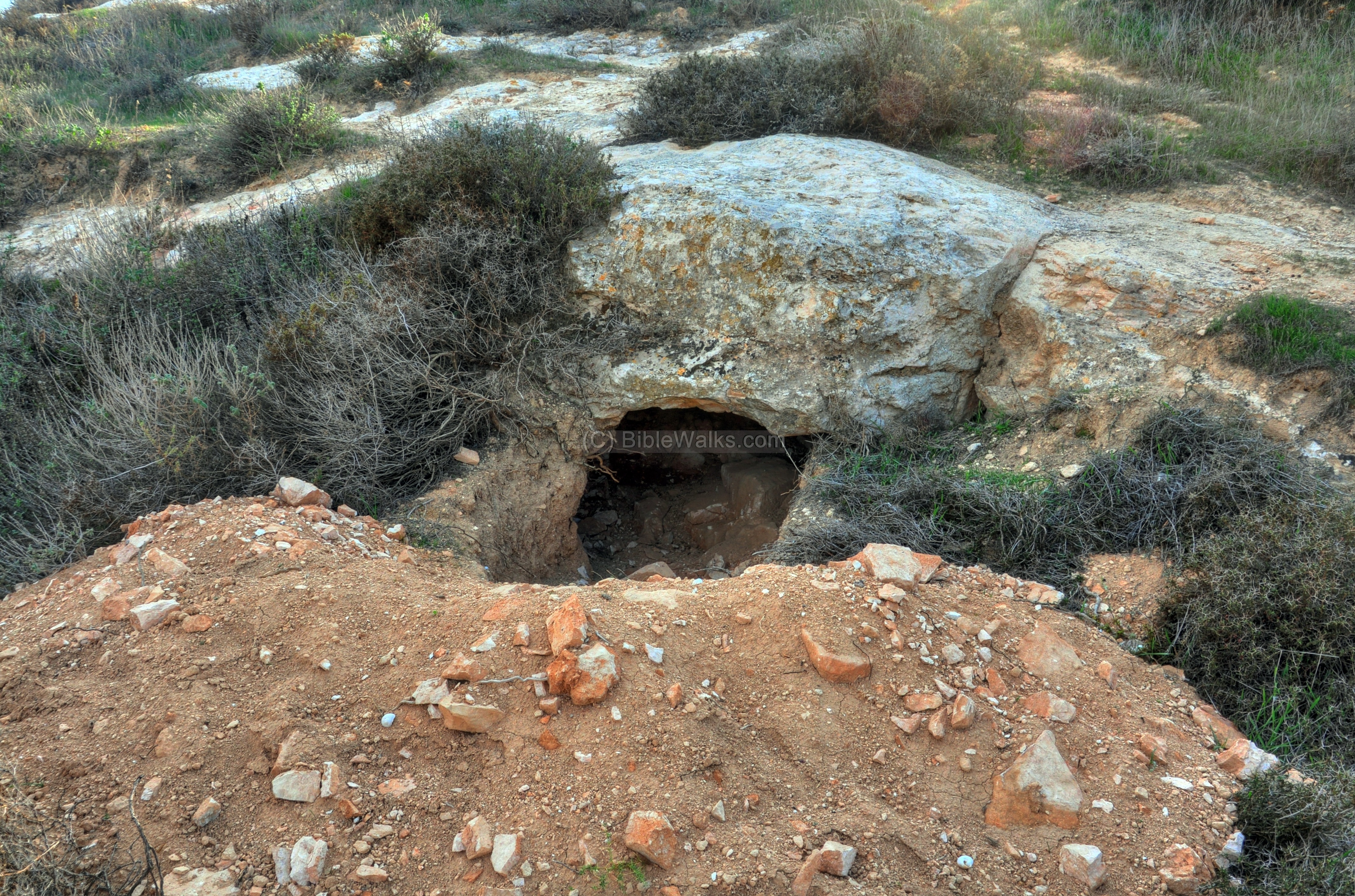
(d) Eastern foothills
The aqueduct loops around the eastern foothills, then crosses the valley and loops around Ramat Rachel’s hill towards the village of Zur Baher.
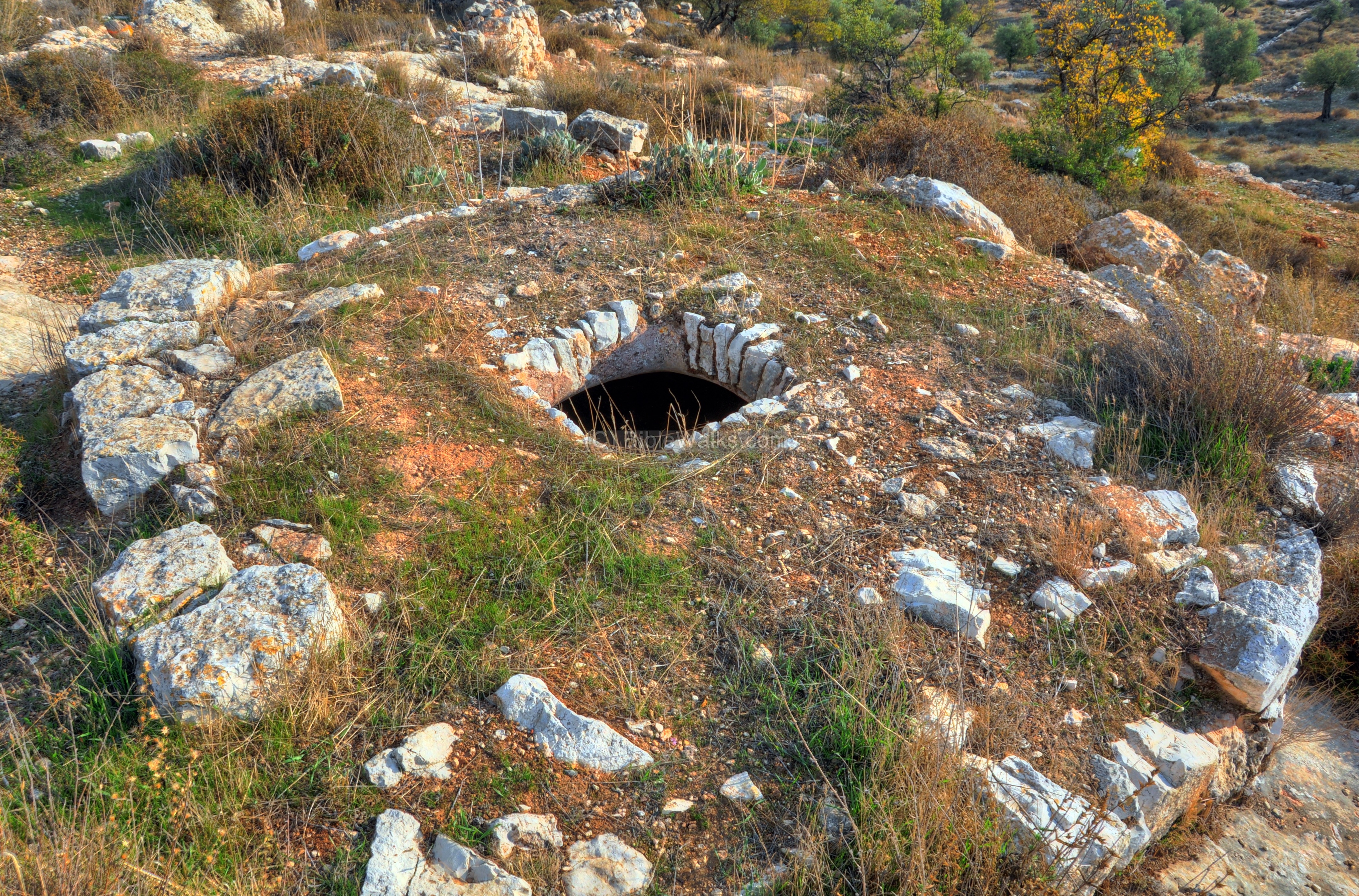
An entrance to a burial cave can be seen along the foothills. There seems to be an illicit digging here.
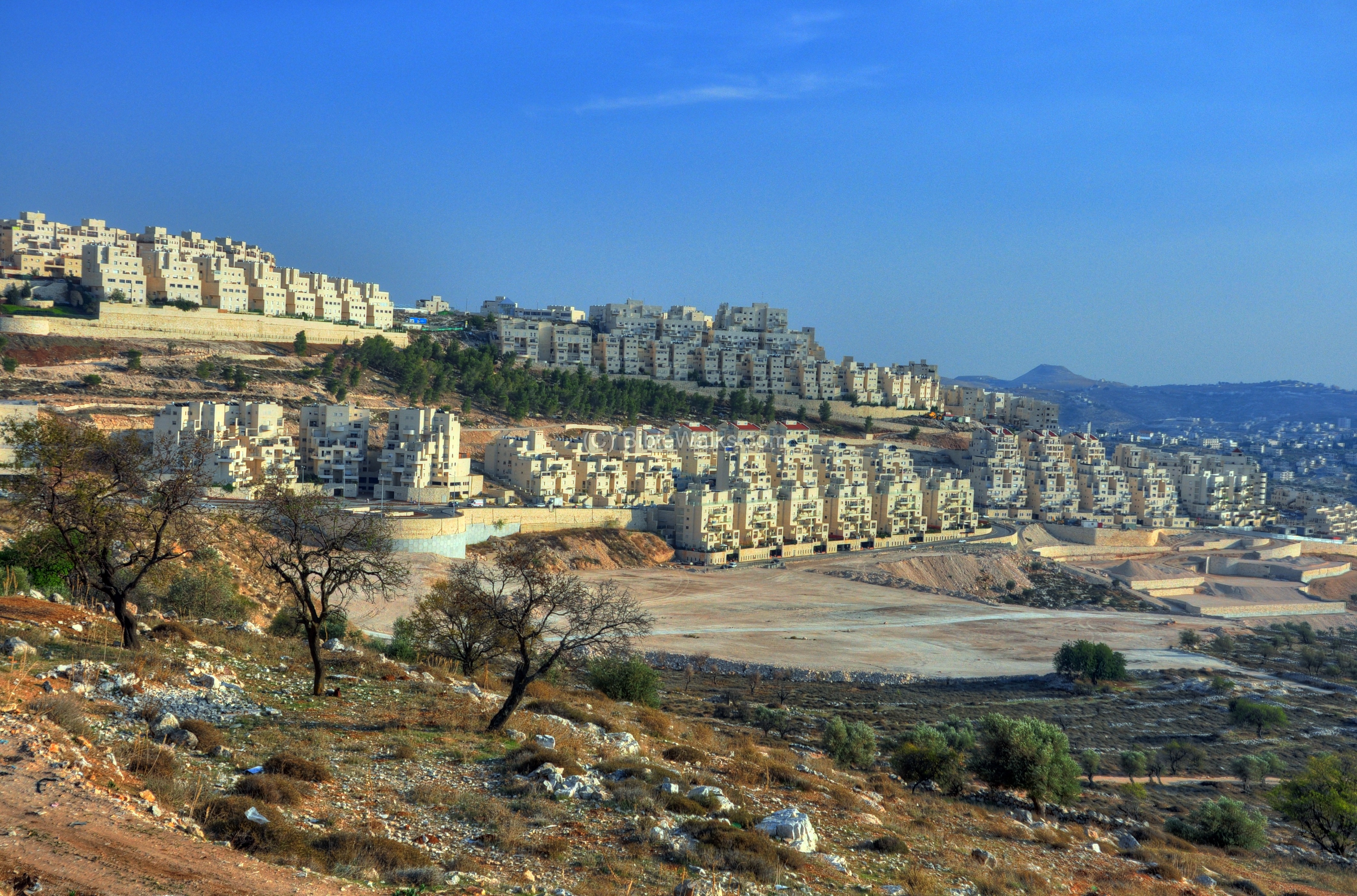
(e) Har Homa
East of the hill is Har-Homa (“wall mountain”), also called Homat Shmuel (“wall of Samuel”). It is the new residential neighborhood, which was first constructed in the late 1990s.
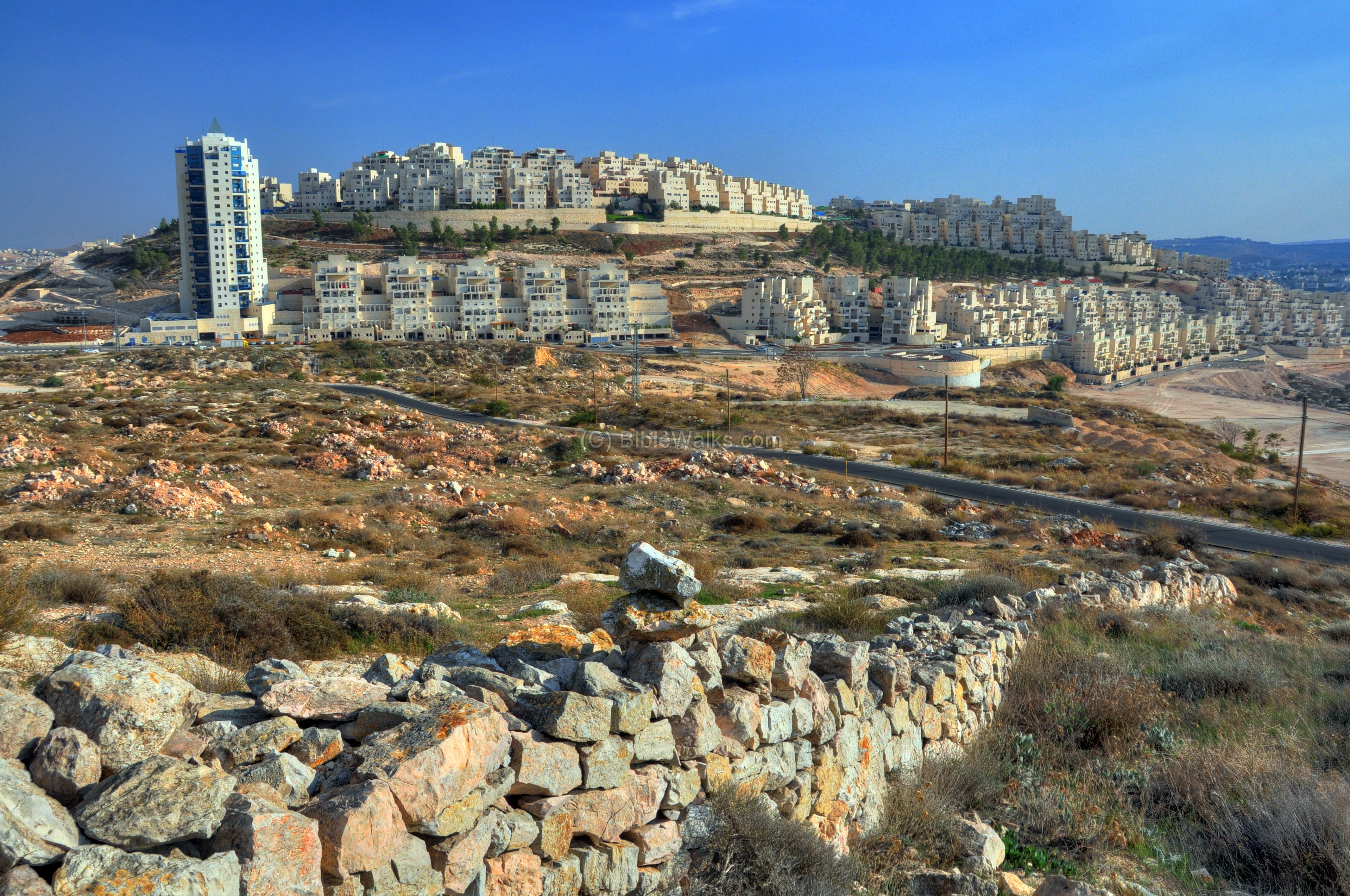
The name of the neighborhood – Har-Homa – means “Mountain of the Wall”. It refers to the wall of a ruined Byzantine monastery on the hilltop, as it was seen from the pre-1967 Israel defense lines. The official name of the neighborhood, with a population of 25,000, is “Homat Shmuel” – named after the late deputy mayor of Jerusalem Shmuel Meir.
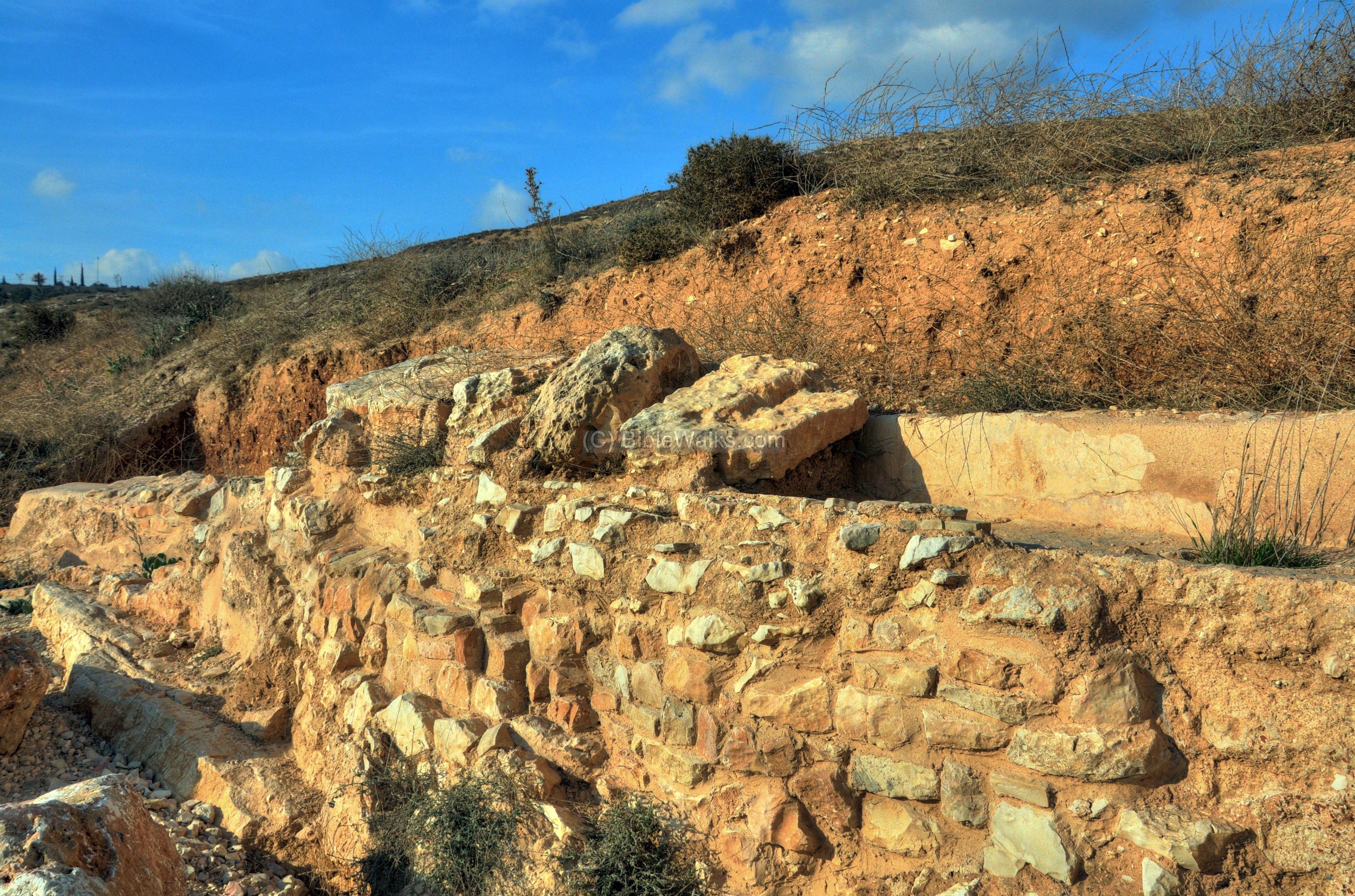
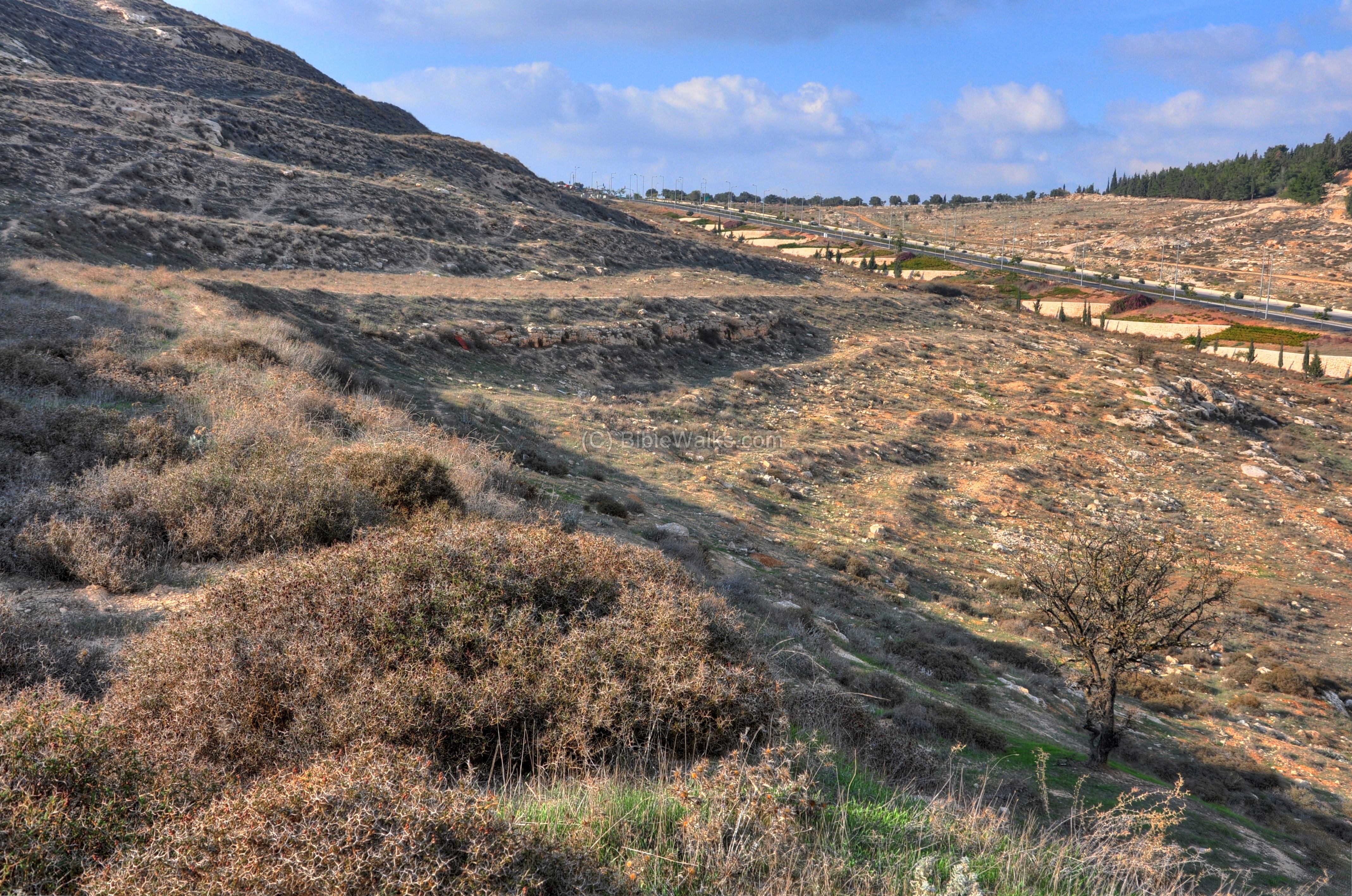
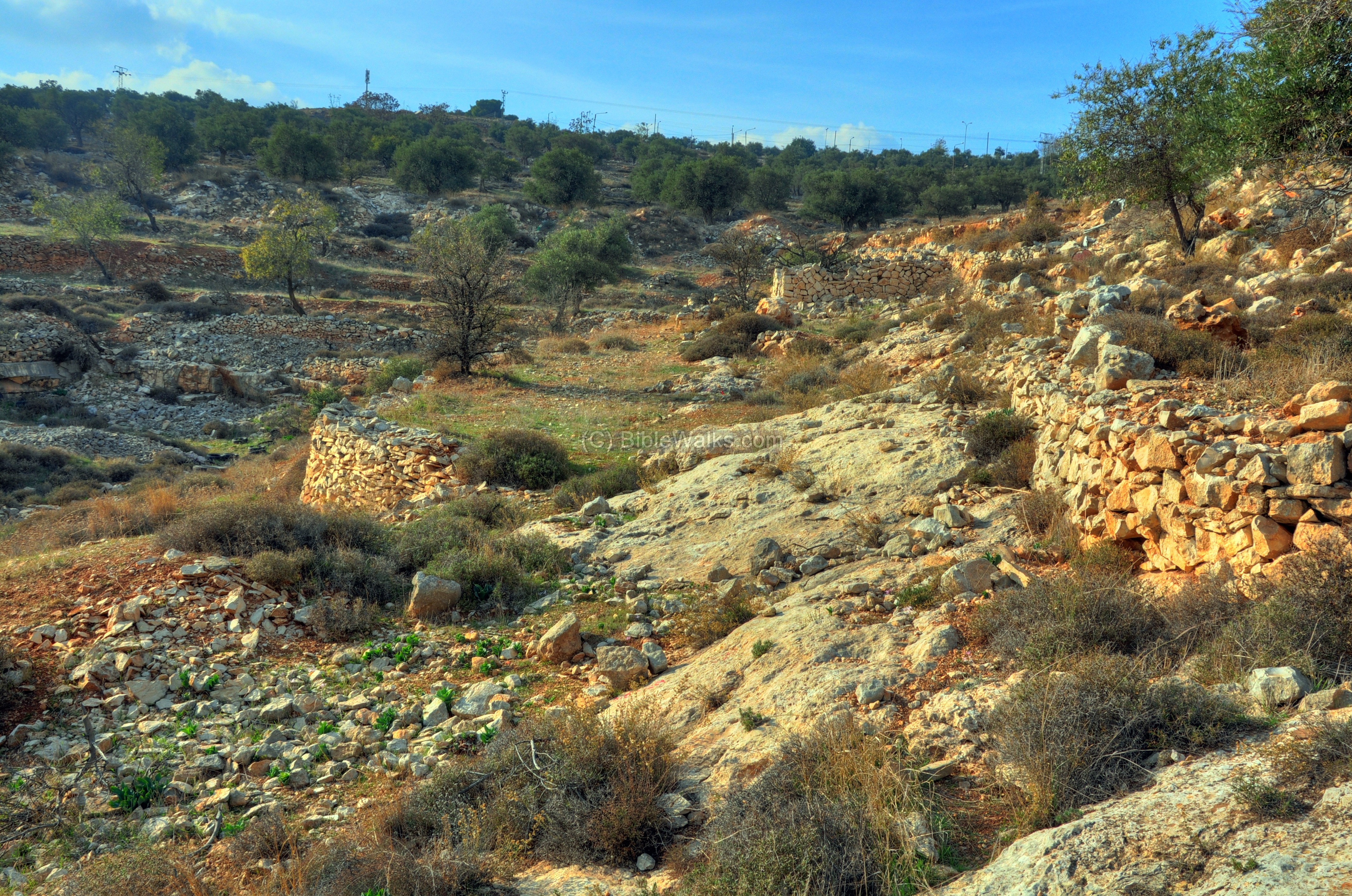
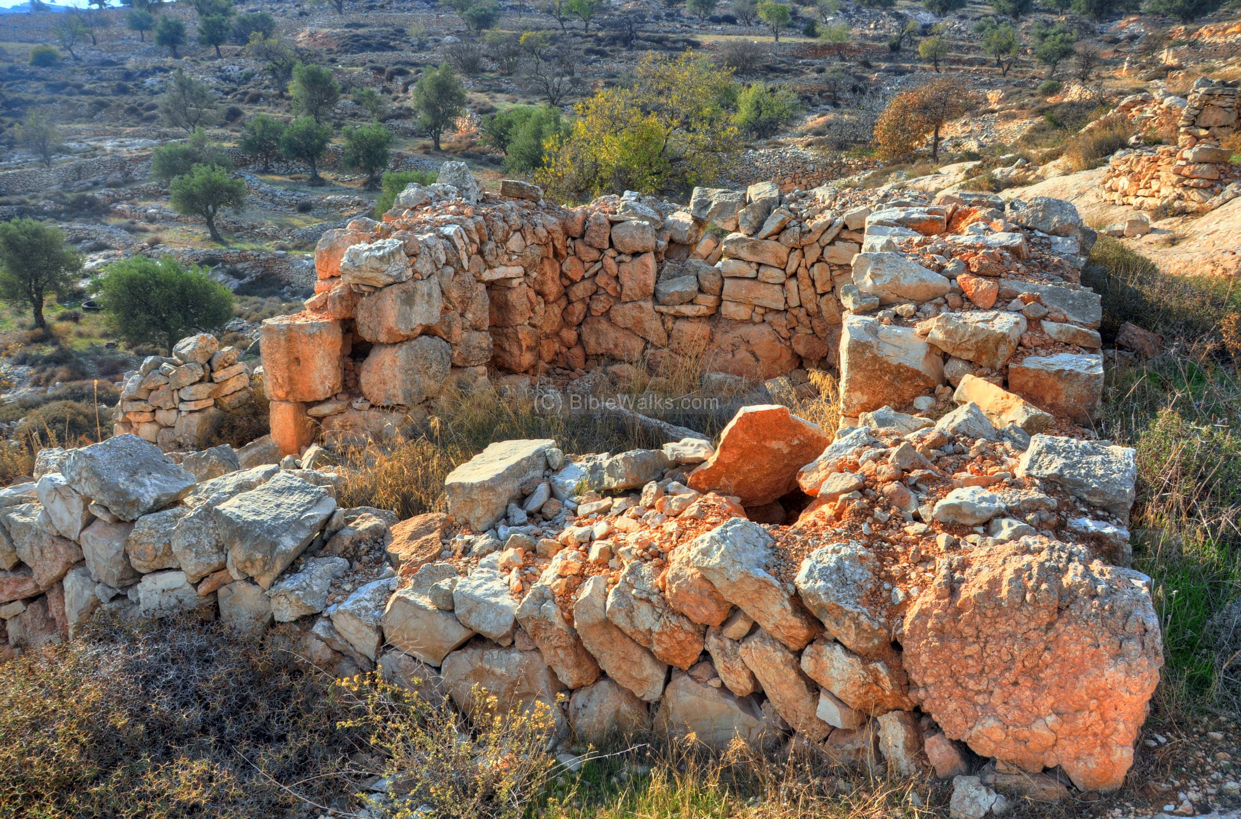
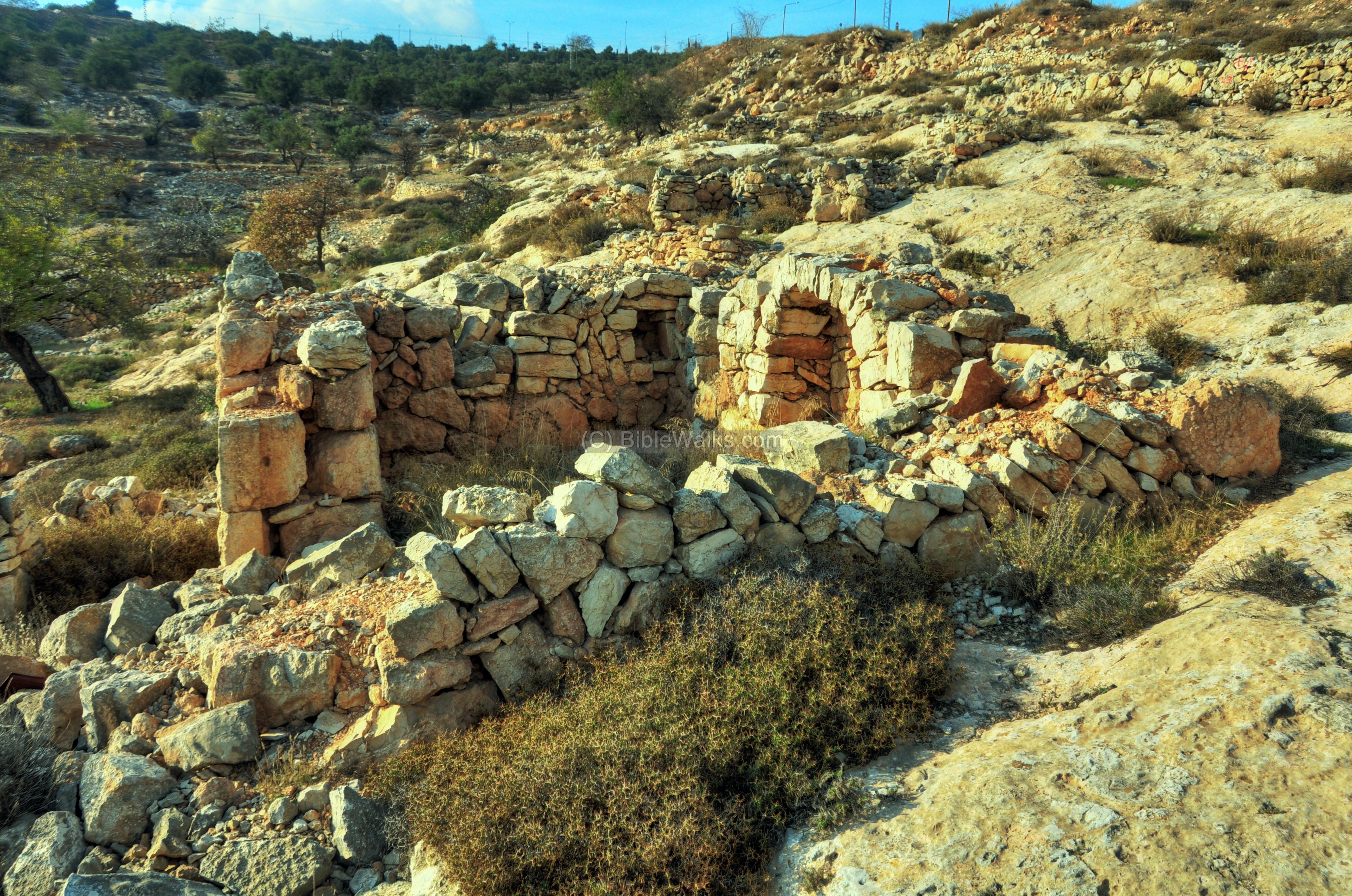
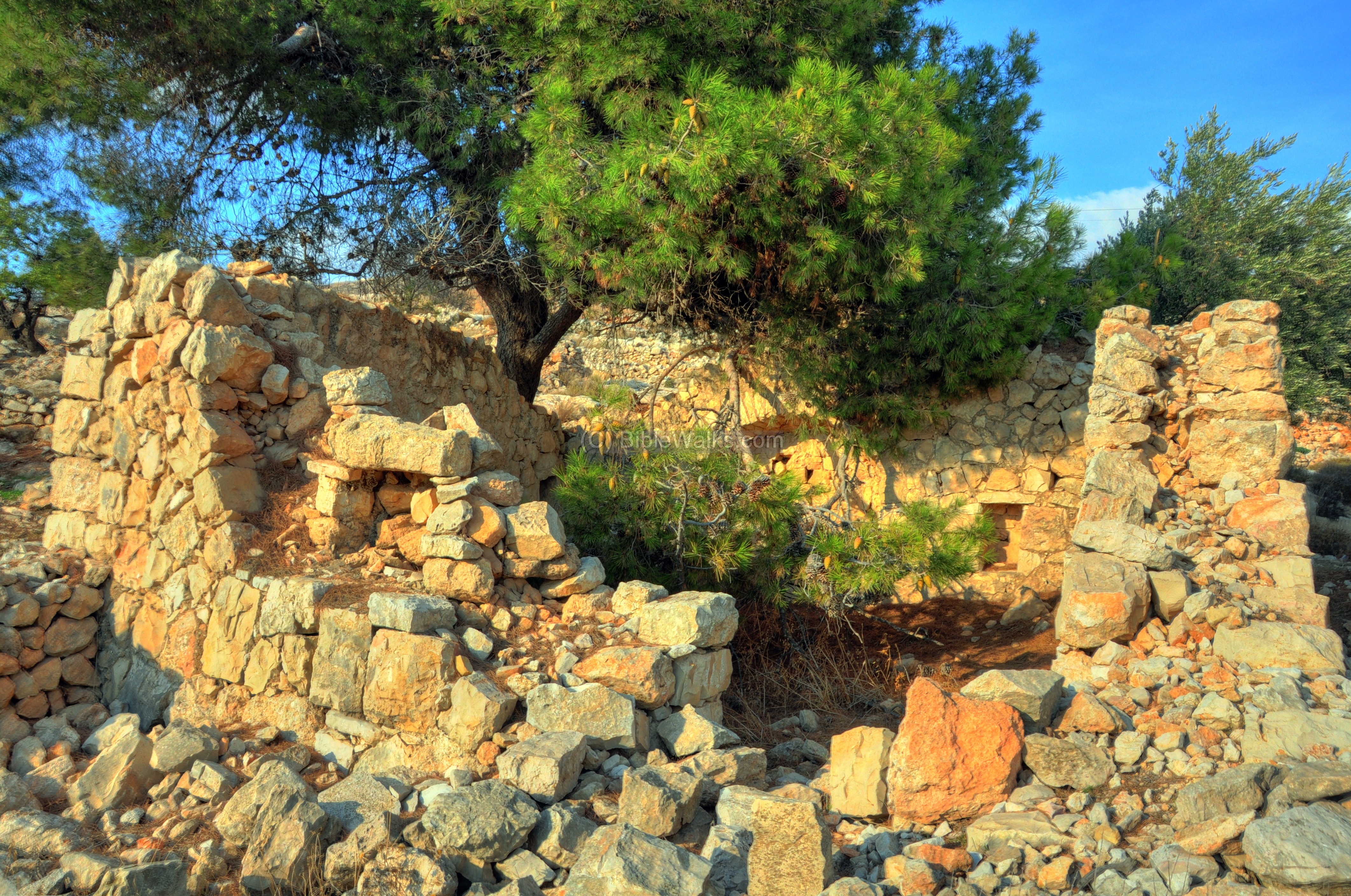
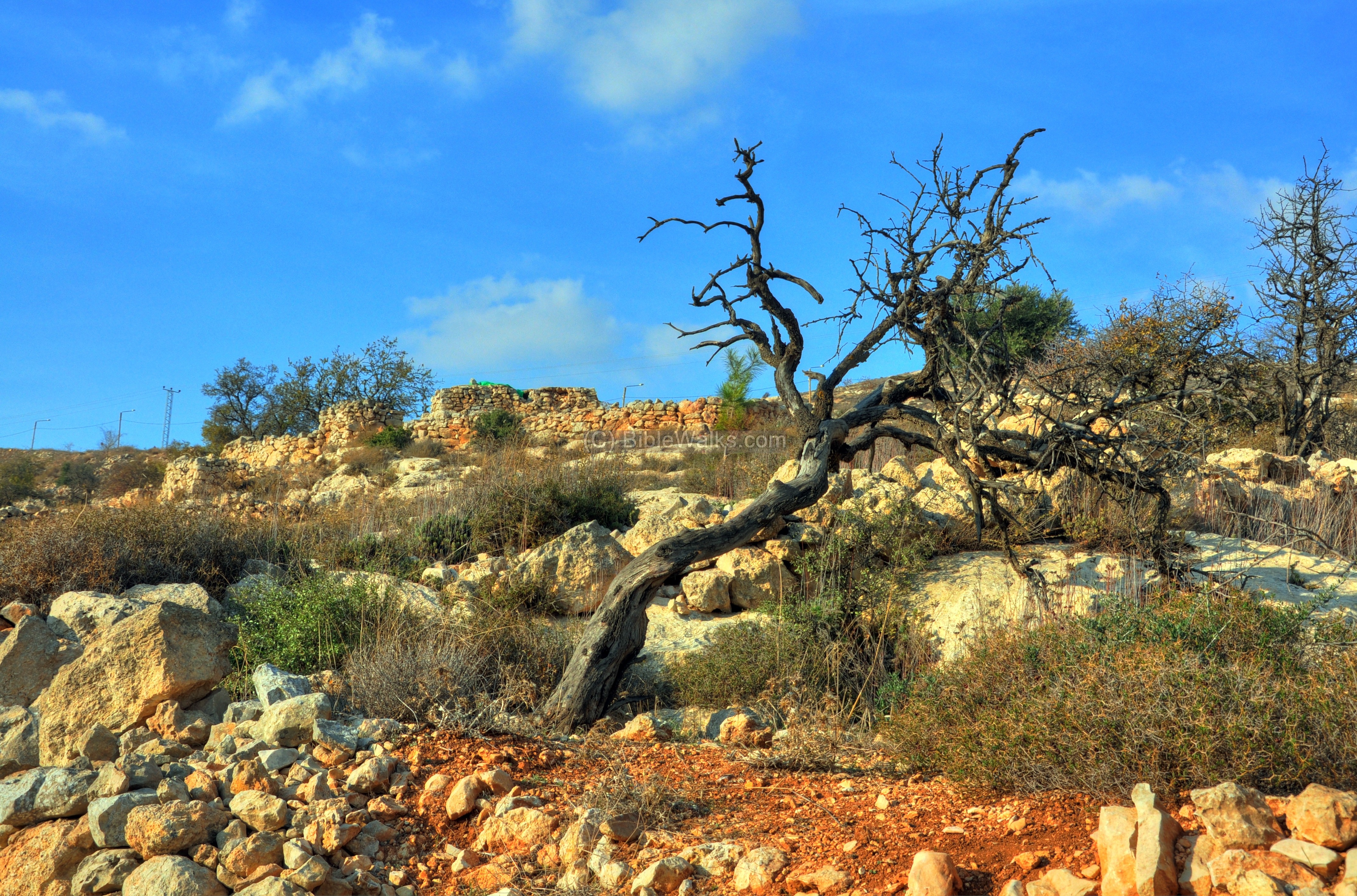
(f) Southern foothills
The Lower Aqueduct also passes along the southern foothills at the height of 745 m. In addition to the aqueduct, there are other ancient points of interest here.
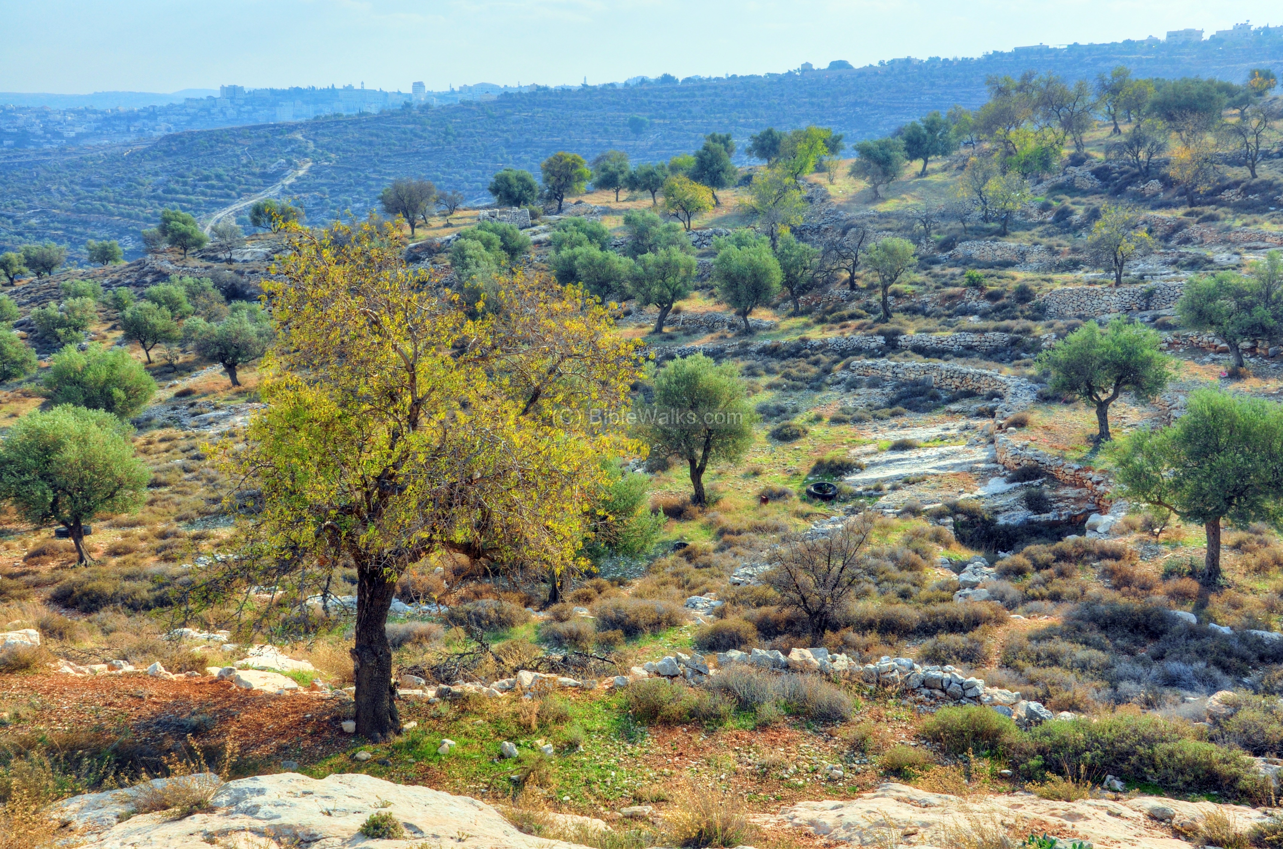
The following photos show a number of ancient farming and agriculture installations, traces of walls and structures, and other interesting objects:
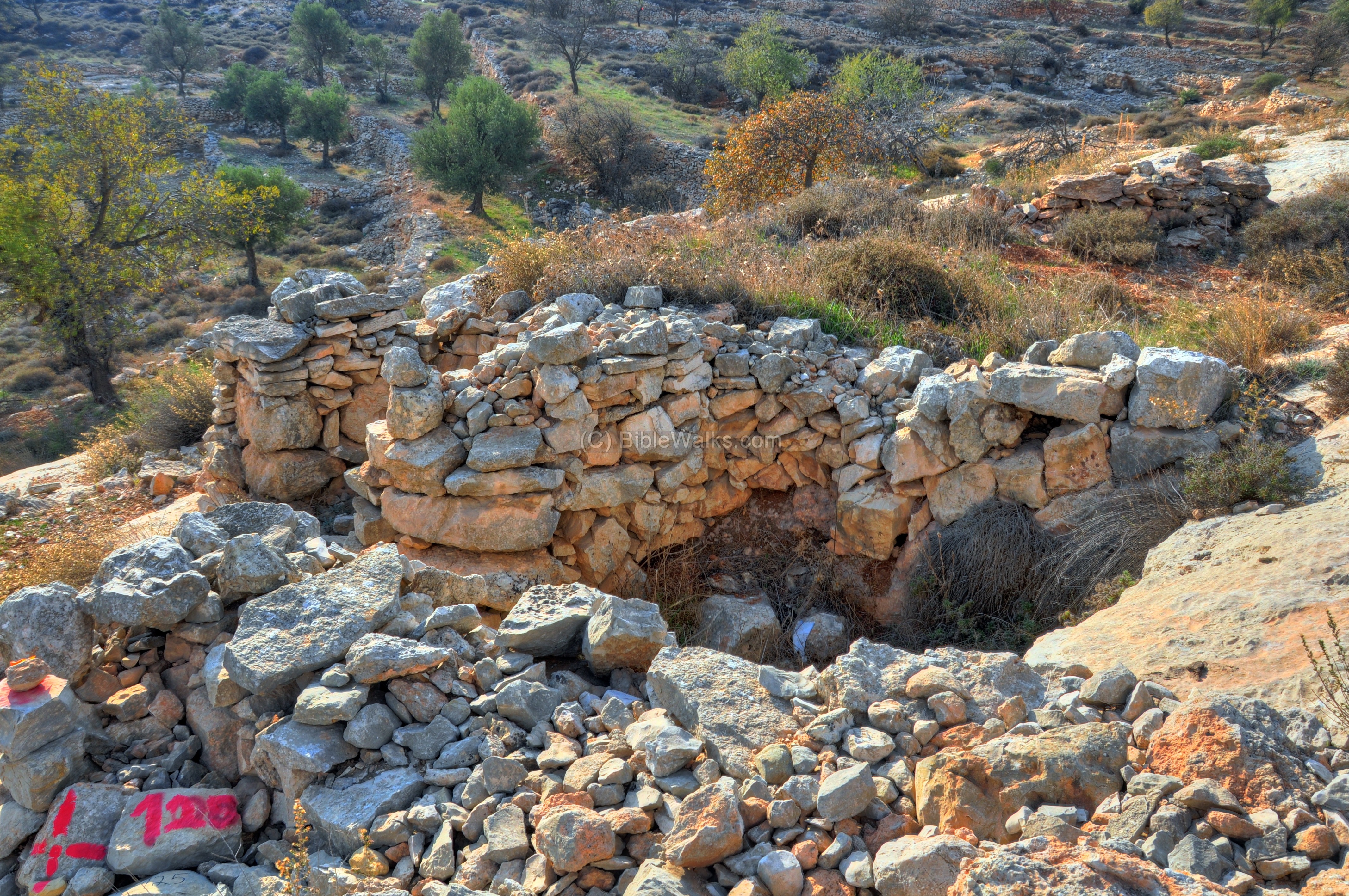
An agriculture installation:
Another ruin:
The area was gutted by a large fire, leaving some sculptured dead trees:
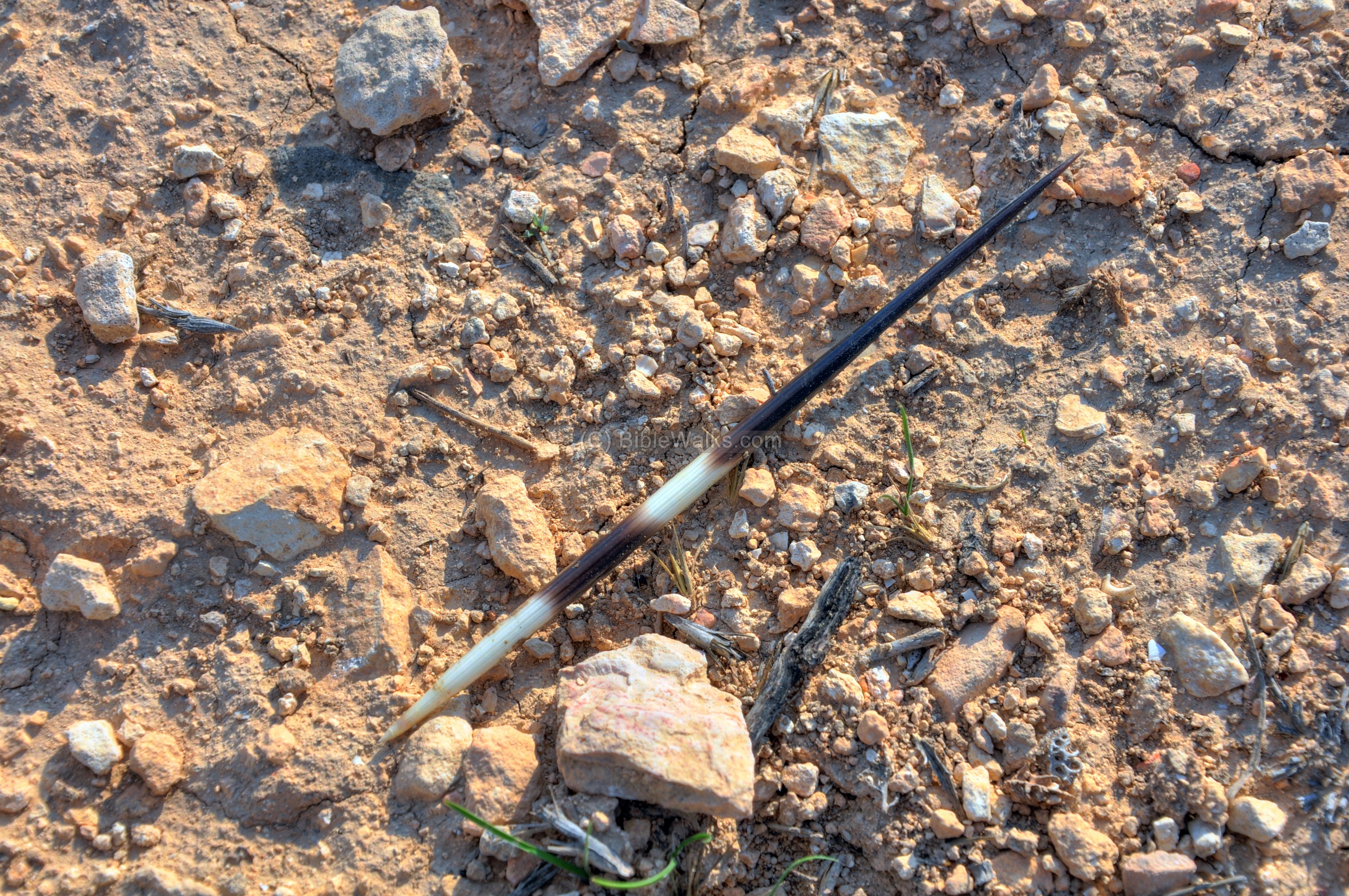
A porcupine quill (needle) lies here:
(g) North Western foothills
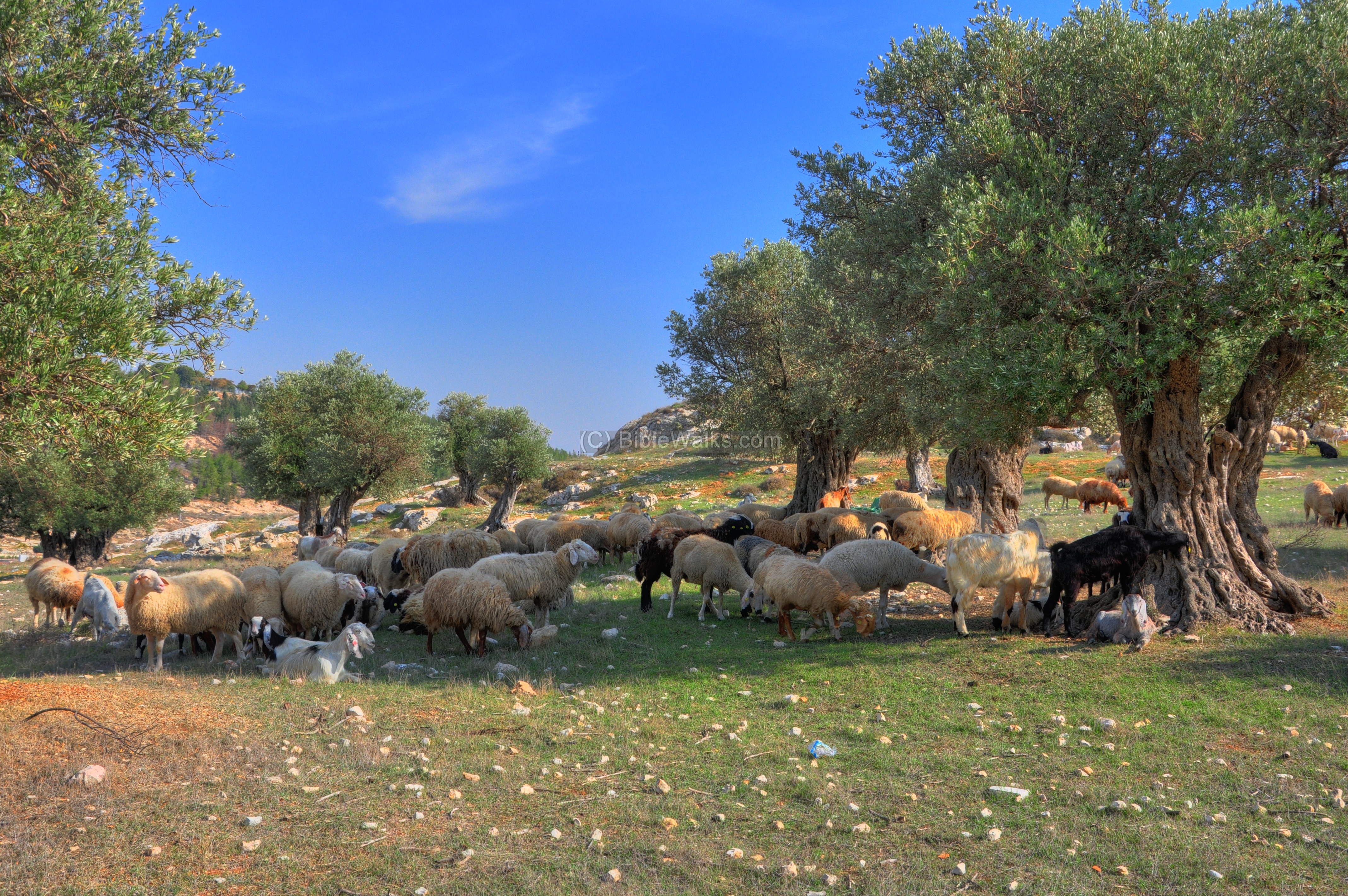
The north western foothills are mostly barren, except for a small olive tree orchid close to the Mar Elias monastery.
A herd of goats and sheep graze between the olive trees on the north side of the monastery:
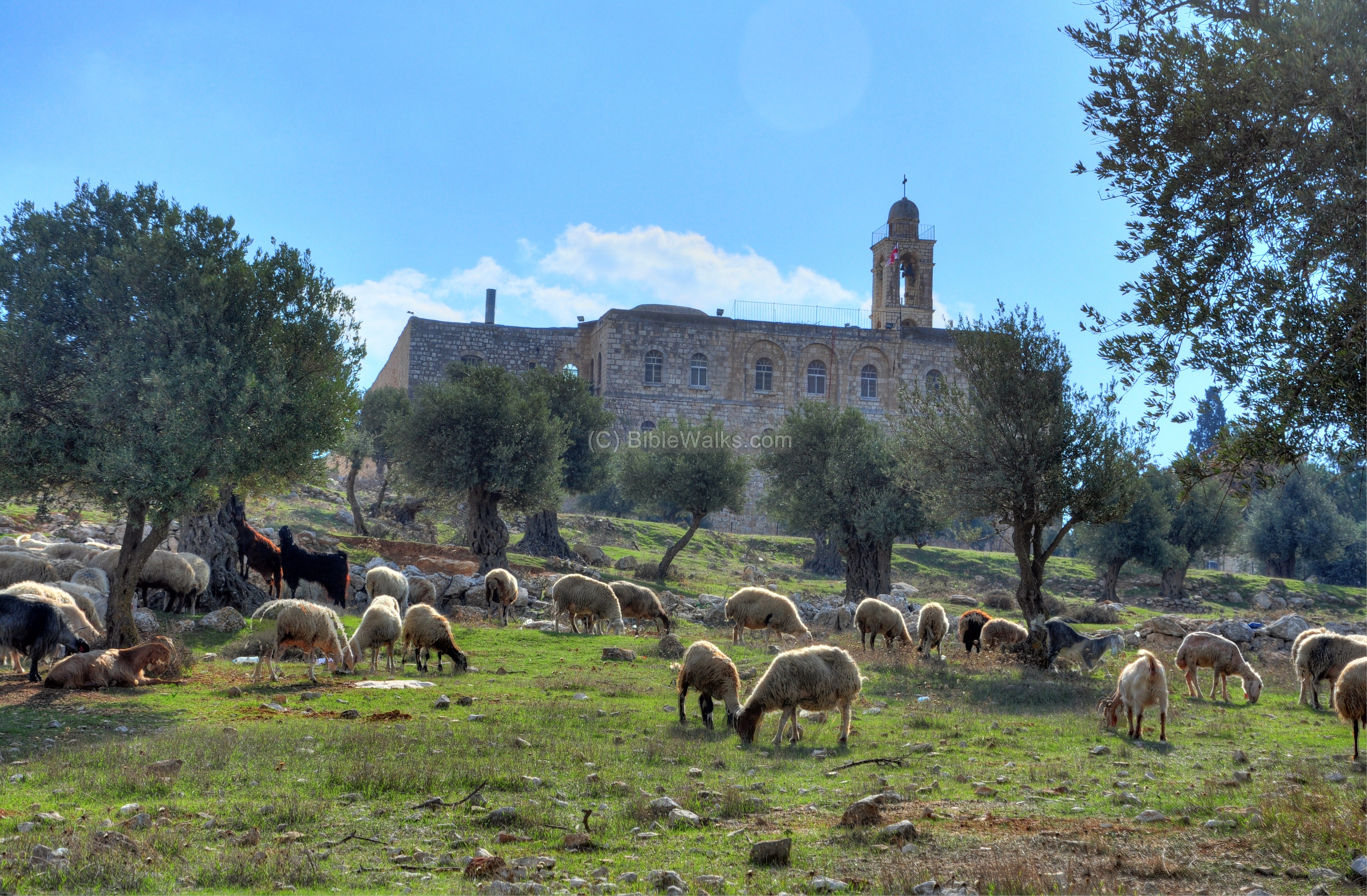
Yet another Biblical-like view of the grazing herd:
Etymology:
- Har-Homa – means “Mountain of the Wall”. The official name of the neighborhood, with a population of 25,000, is “Homat Shmuel” – named after the late deputy mayor of Jerusalem Shmuel Meir.
- Givah – Hebrew: hill
- Giva’t Ha’Arba’a – Hebrew: hill of the four. In 1956 a conference of archeologists from the Israel Exploration Society was attacked by a Jordanian soldier, positioned on this hill. He opened fire at the crowd, killing four people and wounding 16. The hill is named “the four” honoring their memory.
Links:
* External:
- From the Archaeology survey of Israel:Giv’at Ha’Arba’a – map 106 site 112 Giv’at Ha’Arba’a top – map 106 site 111 Giv’at Ha’Arba’A east – map 106 site 113 – remains of structures
* Internal:
- Mar Elias – monastery on the east side
- Airplane hill – on the west side of Mar Elias
- Kathisma ruins of a Byzantine church north of Mar Elias
BibleWalks.com – walk with us through the sites of the Holy Land
Airplane Hill<<<—previous Judea site–<<< All Sites >>>—next Judea site—>>> Biar Tunnel
![]()
This page was last updated on Sep 16, 2018 (new)
Sponsored links: