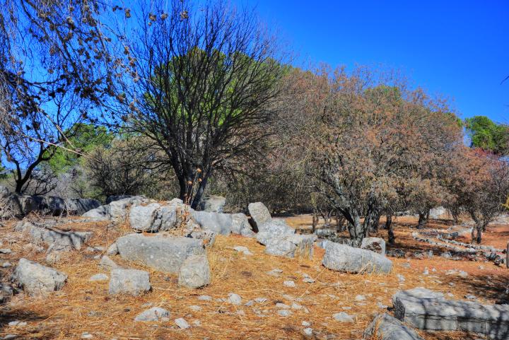
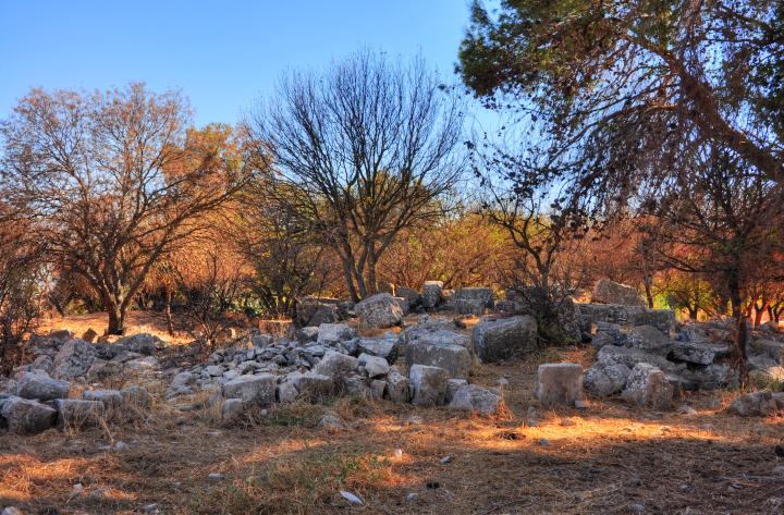
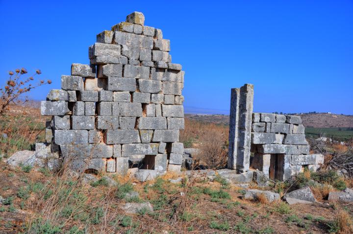
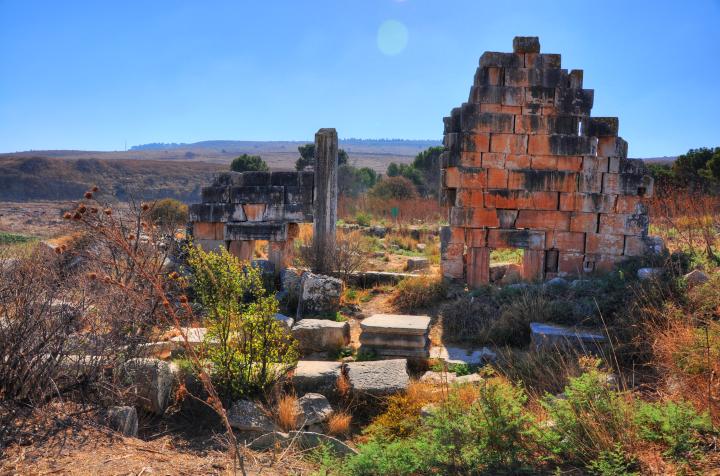
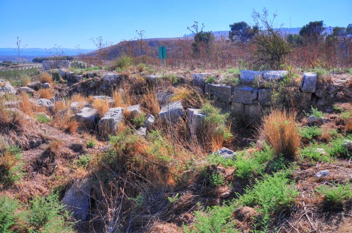
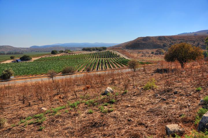
The ruins of the Roman village are located on a small hill to the north-east of the ancient Biblical site.
Home > Sites > Upper Galilee > East > Kedesh > Roman City
Contents:
Background
Location
History
Photos
* Overview
* Mausoleum
* Sarcophagi
* Burnt Trees
* Roman temple
* South side
* North side
Links
Etymology
Background:
This web page details the Roman period in Tel Kedesh. The ruins of this period are located on the eastern Tel Kedesh, a low hill on the north-east side of the ancient Biblical city.
Josephus War IV 2 3: “This Cydessa was a strong Mediterranean village of the Tyrians”
An overview of Tel Kedesh is described in a separate web page.
Location and map:
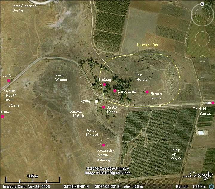
Tel Kedesh is located above the Kedesh valley It is composed of an an ancient mound (with North and South hills) and a lower east hill, with a spring in the center.
Ruins of the Roman period village are located on the lower eastern hill. Its boundaries are marked in yellow in the center of the map below.
The altitude of the hill is 434m, slightly higher than the plateau of the Kedesh valley around the site (395m). It was called by the Arabs “Tell el Hilis”, preserving the name of the Sun God (“Helios”).
History:
The following focuses on the Roman period. For a complete history of Tel Kedesh – refer to the overview page.
- Roman Period (1st century BC – 4th century AD)
The eastern mound became a Tyre stronghold in the 1st century BC and the 1st century AD (early Roman period), as described by Josephus Flavius. Kedesh, now called Cadasa (or Cadisos), was an important Roman city during the 3rd C-4th century. The ruins of the impressive pagan temple, mausoleums and decorated sarcophagi seen today on the eastern mound attest to the wealth of the Roman city.
According the preliminary excavations at the site, the Roman temple was built in about 117 AD, and was destroyed by the earth quake of 363 AD.
During the great revolt against the Romans (66A D), Titus camped near Kedesh (Cydessa), and Josephus explains why (Josephus War IV, 2 3): “Titus was prevailed with by this pretense for a delay, and that he pitched his camp further off the city at Cydessa. This Cydessa was a strong Mediterranean village of the Tyrians, which always hated and made war against the Jews; it had also a great number of inhabitants, and was well fortified, which made it a proper place for such as were enemies to the Jewish nation.”
Titus Arch, Rome – the victory procession of Titus (right, on chariot)
-
Ottoman Period
The site was examined in the PEF survey (1866-1877) by Wilson, Conder and Kitchener, who also photographed the Roman temple, mausoleum and other features. At their times the ruins were in better shape, since later they were damaged by the local villagers. Excerpts from their report are included in this web page.
- Modern period (21st century):
The site is open to the public and is a national park since 1999. There is an easy access to the eastern mound, with a parking lot located at the entrance to the trail.
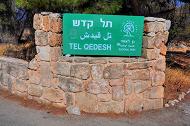
Sign in the entrance to the National Park, where the trail starts
Photos
(a) General view:
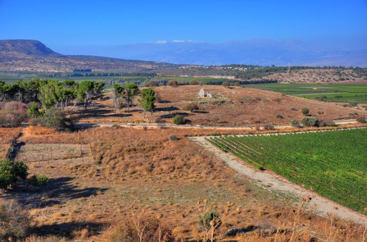
The eastern Tel Kedesh is located on a low hill to the north of the southern mound, on the side of the road from Nebi-Yush’a. This was once a Roman period village, where the city relocated after the ancient Tel ceased to function following the 2nd C BC.
An open parking lot (hidden beyond the pine trees on the left side) provides an easy access to the hill. The view below is towards the north, with Mt Hermon in the center of the far background. The PEF Survey (1872-1877) identified a Roman road in the small valley leading to the spring on the bottom left, so probably the entrance to the city was at this side.
Click on the photos to view in higher resolution…
(b) Roman Necropolis:
On the western side of the Roman city is a necropolis – a large ancient cemetery with elaborate tomb monuments. An aerial view of this area, captured with a quadcopter drone above the east side, is seen in the following photo. The path leads from the parking place in the background to the Roman temple on the east side. The Biblical mound is seen in the far background.
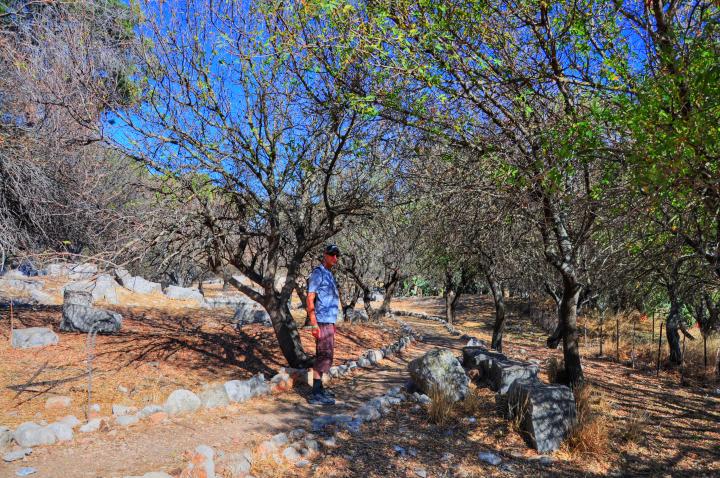
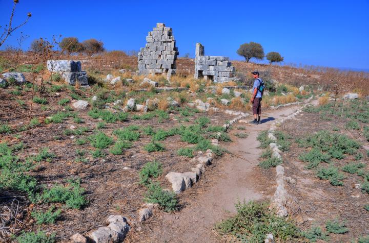
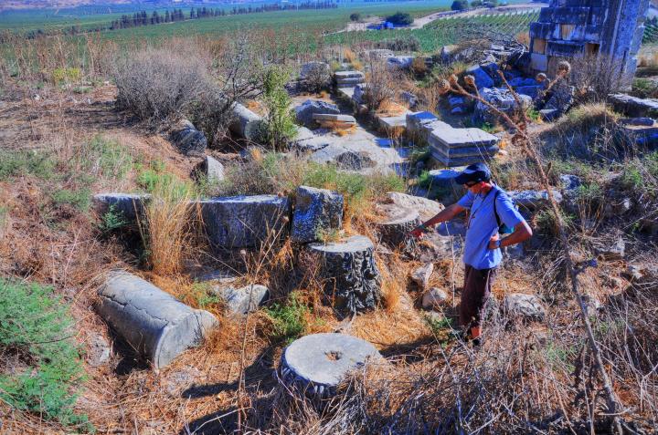
From the parking lot, near the entrance sign to the national park, is a trail among the trees. Uncle Amnon is seen walking along the trail.
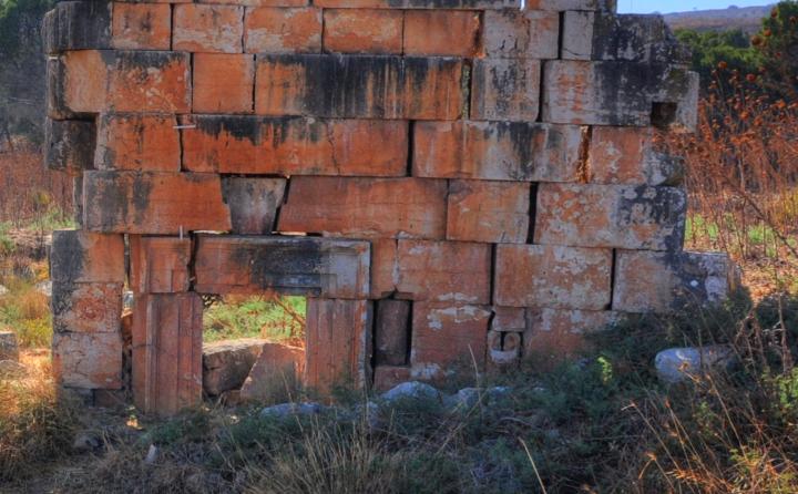
Ruins of a Roman mausoleum tomb are located near the parking lot, with its large ashlars scattered around. Notice that some of the trees in the national park are burnt, evidence of the fires that broke up after the bombardment from Lebanon during July 2006.
Captain Wilson of the PEF survey found the mausoleum in a better, still standing, condition in 1866 (SWP Sheet IV, p228): “At Kades there is a building 34′ 4″ square, with a doorway on the southern side, which leads into a chamber, on each side of which are three loculi, except on the south, where there are only two, one on each side of the entrance; in the corners are piers of solid masonry, and the spaces between them were covered with semi-circular arches, portions of which on the north and east remain; the center appears to have been vaulted. The masonry is of plain chiseled stones set without mortar in courses from 1′ 10″ to 2; 3″ in height, and the moldings are of a simple character and well cut; on the exterior near the door is a niche 5’11” high, and round the base of the whole building runs a plinth”.
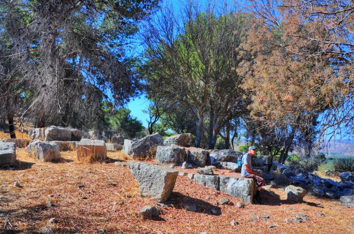
The following photo shows a view from the north side. In the Middle Ages, some scholars (like the Jewish traveler Isaac Chelo, 1334) suggested that Barak and Deborah were buried here, since Kedesh-Naphtali is mentioned as the birthplace of the military leader Barak. However, the tombs are actually from a later period (Roman) than the Judges of Israelites.
(c) Sarcophagi:
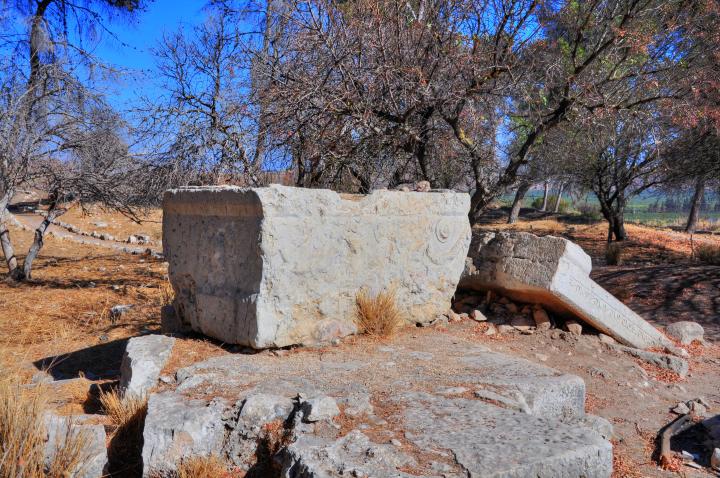
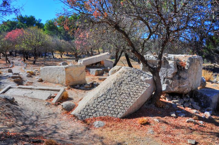
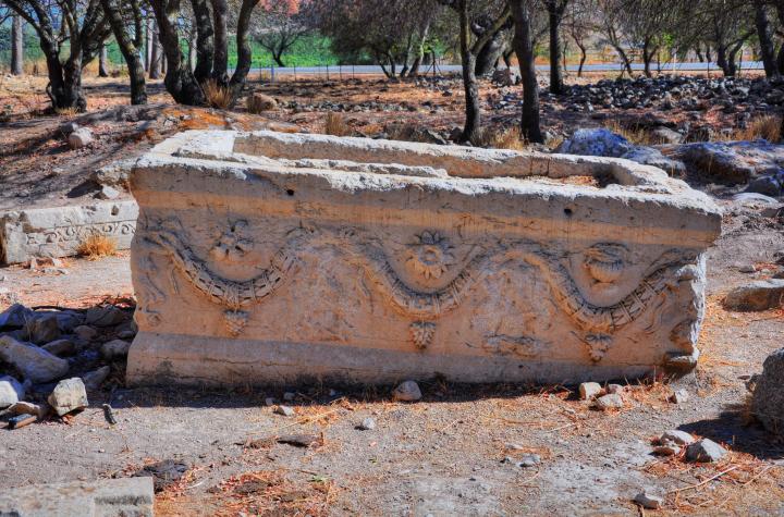
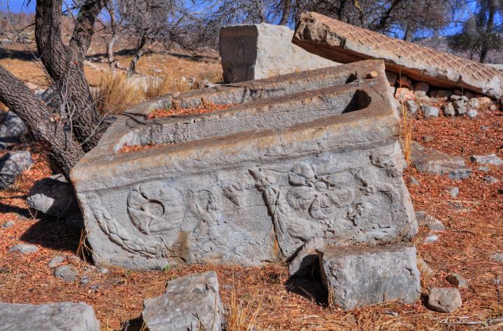
Another unique highlight of the site are a number of huge sarcophagi (tomb coffins). They are located near the entrance to the park, not far from the mausoleum tomb. This was part of a second mausoleum, and the coffins used to stand above a raised platform. Captain Wilson wrote about this (1866): “Of the sarcophagi, those at Kades are the most elaborately ornamented; not far from the masonry tomb described above, there is a very remarkable group, formerly elevated on a masonry platform, but now, with the exception of one, overturned”.
A sarcophagus (sarcophagi in plural) – in Greek – means “flesh eater”. It is a stone coffin, intended to be a multiple use box that contained the body of the deceased for the first phase. After the flesh decomposed the bones were removed to a smaller container or pit, allowing the next member in the family to be placed in the coffin.
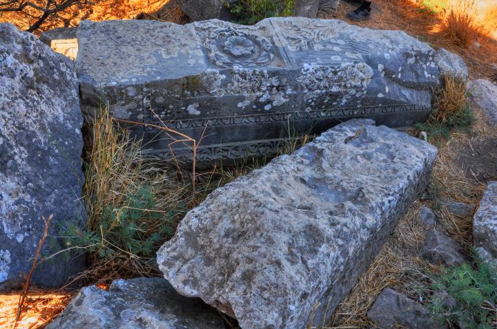
The decorated stone coffin below, one of the several laying around, is unusual – it has two cavities, with head positions in opposite directions. Captain Wilson of the PEF survey wrote about this (1866): “Some of these are made to contain two bodies laid in opposite directions, and at the bottoms of the loculi are small raised pillows to take the heads; the covers are pent shaped, and covered with a leaf-like ornament.
Captain Wilson continues: “The material out of which the sarcophagi are hewn is hard white limestone, almost marble, and the workmanship is excellent; the usual design on the sides is a garland held up in two or more loops by nude figures, with some device over each bend, and a bunch of grapes hanging from the bottom.
The ornament has been disfigured and worn away, so that it is difficult in many cases to see the design, but on one which is uncovered the carving was sharp and good, though the faces and busts of the figures have been purposely mutilated; they consisted of a winged female figure with flowing drapery at each corner, and two figures on the sides holding up a garland, over which are a vase, flowers, etc., and from which hang bunches of grapes. (see a detail here). On the end of the lid of one of these sarcophagi is a shield and sword…”.
Detail of the corner, with a mutilated female figure,
holding the garland on the left
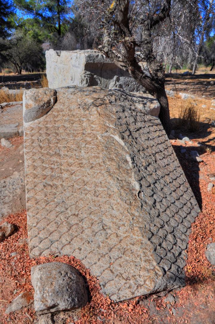
The cover of the sarcophagus is shaped like roof tiles:
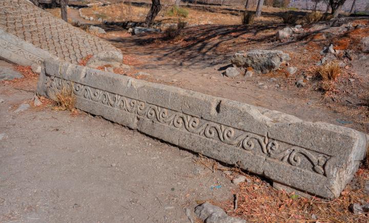
Another half-buried stone cover of a coffin is seen below:
(d) Burnt trees:
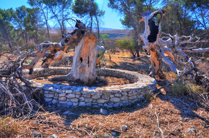
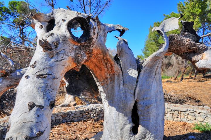
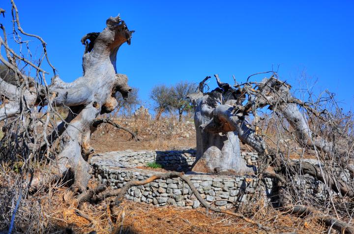
Further to the east is a group of burnt and decayed trees, probably another result of fires that broke up after the bombardment from Lebanon during July 2006.
The burnt trunk turned into a sculpture of a “monster”.
Another view, with the Roman temple between the trunks.
(e) Roman Temple:
Ruins of a Roman temple, dated to the 2nd and 3rd century AD, are located on the southern side of the eastern mound, easily accessed by the trail. This aerial view shows the plan of the temple from the east side.
According to the inscriptions and the paintings, this was a pagan temple dedicated to the Syro-Phoenician god Baal-Shamin, and is called the “Temple of the Sun”. The attributes of this Syrian sky-god deity was the eagle and the lightening bolt.
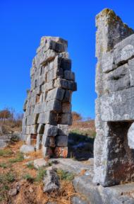
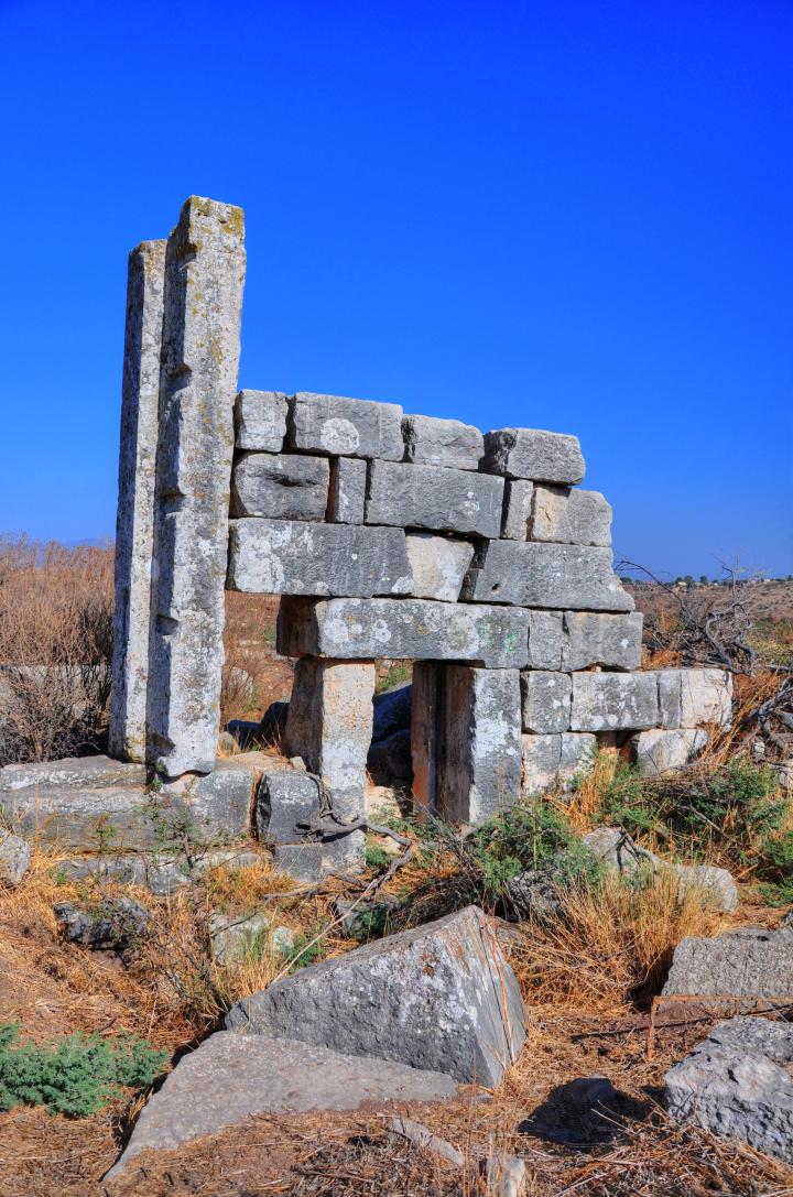
Sections of the eastern wall of the temple is still standing high, built of well dressed large ashlars. The original height is estimated at 11m high, which makes it one of the most impressive Roman temples in the land. The entire temple complex (30m by 18m) was surrounded by a wall.
The temple is oriented east to west, with a door on the east side (seen standing from inside the temple), while the inner altar is located on the west side. This orientation rules out an ancient Jewish synagogues (west to east, or north to south, facing Jerusalem) or Christian churches (west to east, with apse or altar on the east side).
- Eastern entrance
An eastern view is shown below, with the ancient Tel Kedesh in its background. This was the entrance to the temple, with a central door in the middle and two small side gateways on both sides. The entrances face the rising sun – after all this is the temple of the Sun God.
On the eastern side of the wall are fragments of pillars and other architecture elements of the temple. According to Conder & Kitchener (SWP Sheet IV, p227): “Two great columns probably supported the porch, which sheltered the beautifully fine work of the eastern front”, adding “The temple has a similar form to the temples of the same kind found in Syria”.
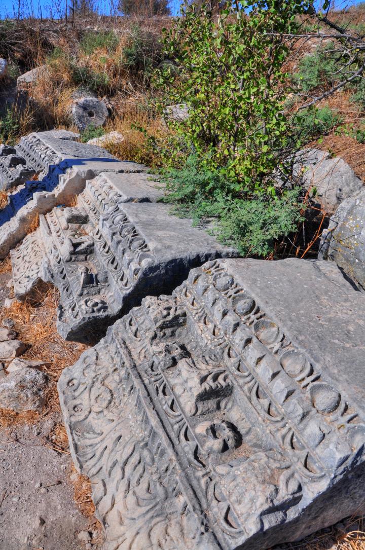
A closer view of one of the large stones, part of an elaborate decorated cornice (horizontal molded projection) which was fragmented into three pieces.
- Main doorpost
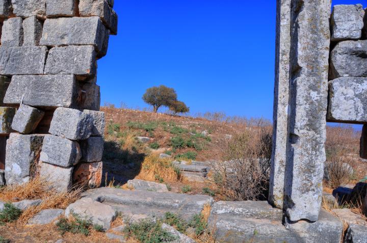
The main entrance is seen in this west view. The door post, still standing, is a monolith fifteen feet high. Its lintel is missing – its has fallen down many years ago, and now found on the ground. The left side of the doorway looks like its about to fall soon… another earthquake will probably topple it. We hope that the reconstruction of this site will rescue the temple before the remaining wall falls down, and call for the authorities to assist in this project.
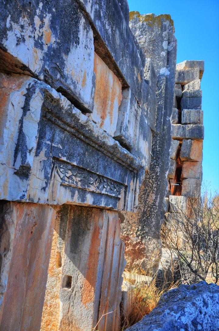
A beautiful fragment, part of the lintel above the main door, was dug out by Captain Wilson and now is lying in front of the doorway. He wrote about the winged deity of the Baal found on this stone (p228): “The lintel over the main entrance was dug out; on its under side is a large figure of the sun (I think), and over the architrave is a small cornice beautifully worked; it consists of a scroll of vine leaves, with bunches of grapes; in the center is a bust, and facing it on either side is the figure of a stag”.
- South side doorway
The following is west view from the inner side of the temple. The south doorway is on the right side, while the doorpost of the main entrance is seen on the left side. Note that the other opening between the doorways was caused by fallen stones.
The south doorway is seen again from the eastern exterior side.
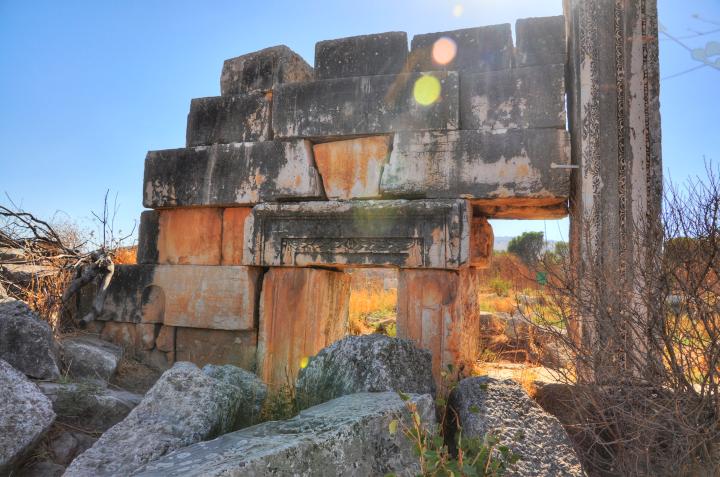
The decorated lintel above the southern doorway is shown in detail in the following picture.
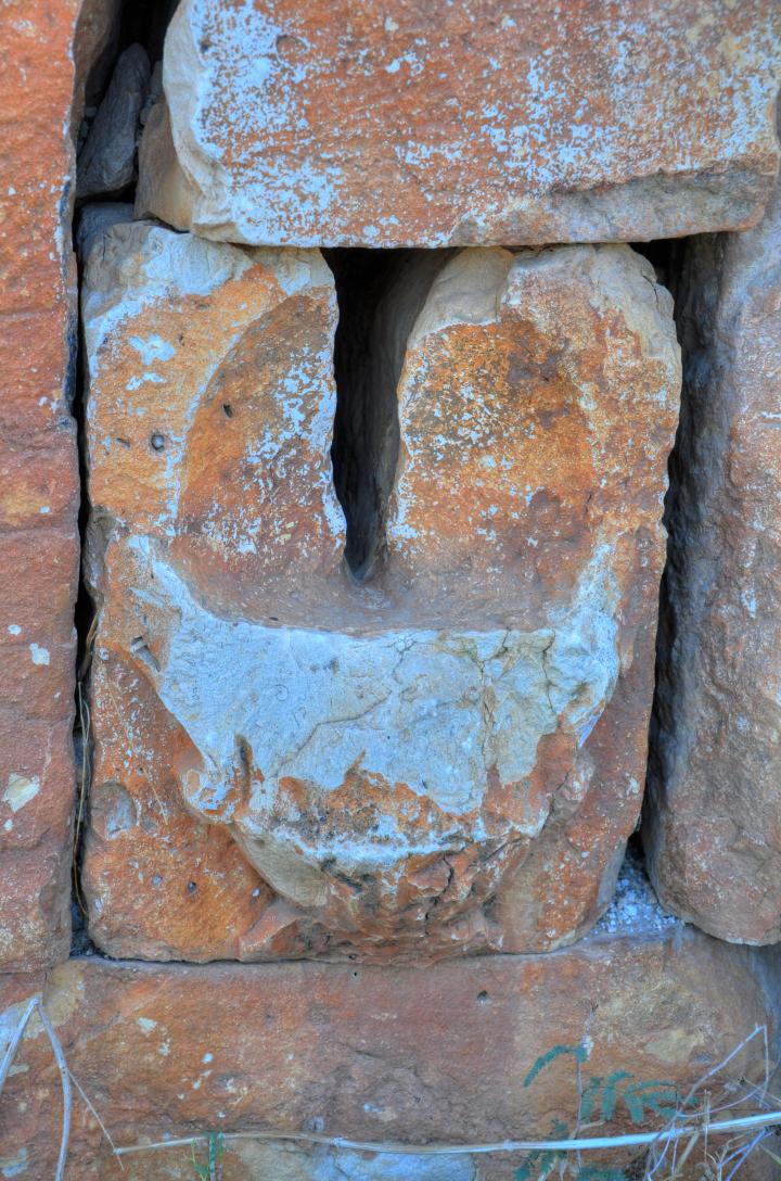
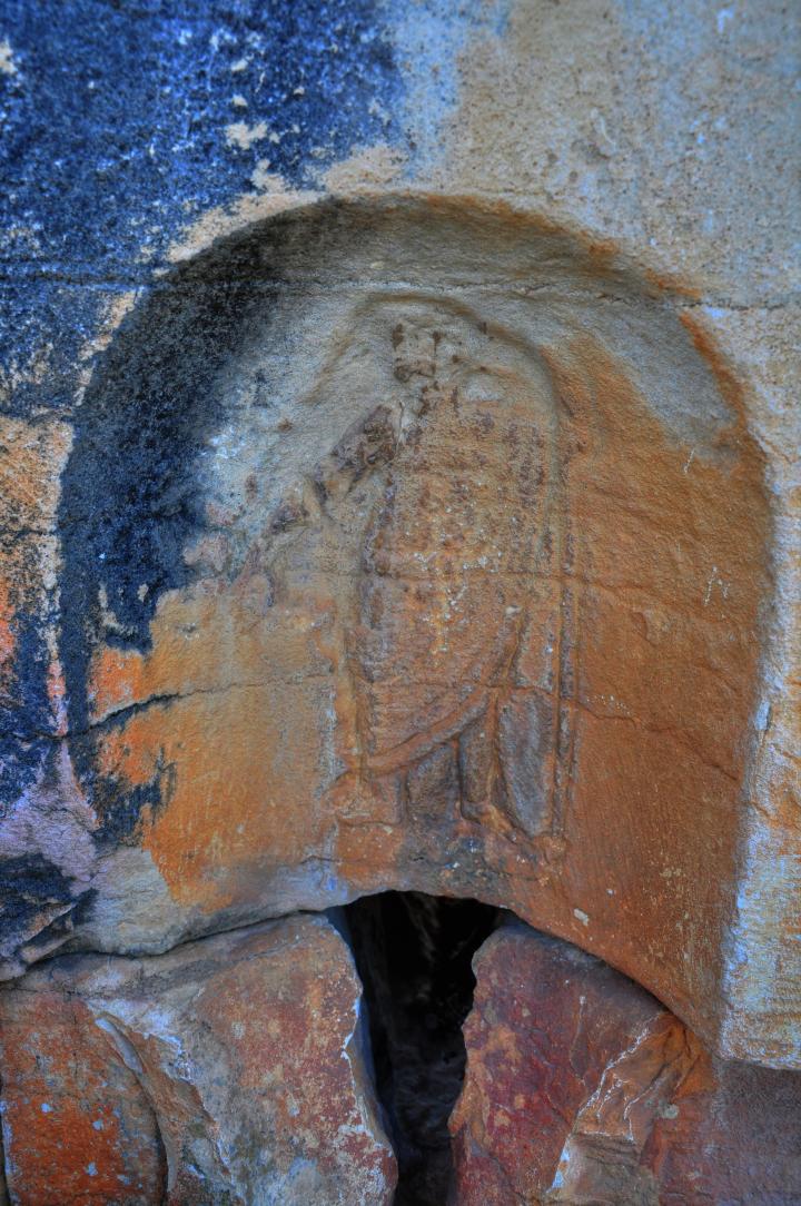
To the left of the southern doorway is a niche. On its top side is a carved figure clothed in a robe, holding a spear in the left hand. The groove under it may have been an inlet of the blood flowing from the ritual offering into the other side of the wall.
- North side Doorway
A similar doorway and niche is found also on the north side of the entrance. Conder & Kitchener report (p227): “Over the northern one is a representation of an eagle with outspreading wings”.
The report continues: “Farther north, on this side, is a little projecting stone, with a small passage made in the masonry to a small recess on the inside; through this money could be dropped, or an oracle could be delivered from the inside without the speaker being seen”.
- Western side
The main altar was located on the western side of the building. Its ruins are scattered around, waiting to be reconstructed.
(f) South Side:
The “North Road” passes on the south side of the hill, below the Roman temple. Beyond the road, on the left side, stretches the plateau of the fertile Kedesh valley with nicely organized rows of Merlot and Cabernet Sauvignon vines.
On the right side is the southern edge of the ancient Biblical mound, where the first excavation seasons (2007-2010) reconstructed a Persian-Hellenistic period administration building. After the Hellenistic period, the ancient mound was abandoned. (Read more in a separate page).
(g) North Side:
The north side of the eastern hill is seen in the panoramic picture below. It is not yet excavated, like hundreds of similar sites in Israel. Almost no remarkable structures are in sight – the ruins of the Roman town lay under the ground level.
On the left side is the border with Lebanon, which stretches along the mountain side all the way to the leftmost cliff. The green area is part of the Kedesh valley which surrounds Tel Kedesh from the north, east and south sides.
Pressing on the photo will bring up the hi-res photo.
Links:
* External sites on Kedesh –
- Kelsey Museum of Archaeology Dig Diary Overview
* Internal sites:
* Aerial views
- Drone Aerial views – collection of Biblical sites from the air
Etymology (behind the name):
* Names of the city:
-
Kedesh – from the root word in Hebrew, meaning: to be sanctified. There were many cities and villages in the Holy Land with this name, and the Bible used a suffix to distinguish between them (such as Kedesh-Naphtali, Kadesh-Barne’a).
-
Cadasa, Cadisos, Cydessa – Roman name of the city, which preserved the ancient name
-
Kades, Qades – Arabic name of the village, as listed in PEF survey
BibleWalks.com – Walking the Bible trails
Kedesh Overview <<<–previous site—<<<All Sites>>>—next Upper Galilee site—>>> Kedesh Biblical City
This page was last updated on Mar 21, 2024 (fixed pano)
Sponsored links:
