The Roman road from Emmaus passed through a narrow mountain passage named Nahal Ilan (Wadi A’lakah), and started here its ascent to the Holy City of Jerusalem.
Home > Sites > Judea > Mountains > Nahal Ilan – Roads to Jerusalem
Contents:
Overview
Location
History
Photos
Etymology
Links
Overview:
The Roman road from Emmaus passed through a narrow mountain passage named Nahal Ilan (Wadi A’lakah), and started here its ascent to to the Holy City of Jerusalem. A Roman fortress guarded this route, and a collection of Roman milestones can be seen on the side of this important road.
This mountain passage was used also in the Biblical period, connecting the valley of Aijlon to Jerusalem, and an adjacent modern route traverses the adjacent valley.
Judges 1 35: “But the Amorites would dwell in mount Heres in Aijalon”
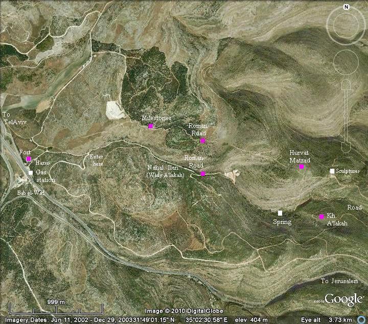
Location:
The interesting sites along the western section of Nahal Ilan, close to the lower side of Bab el-Wad (“gate of the valley”) passage, are indicated on the map below. The following aerial view shows the points of interest.
History:
-
Biblical period
This area was a gateway to Jerusalem, and the mountain pass was one of the few options to ascend to the city. A Biblical city was located between the two outlets of the valleys of Nahal Ilan (Wadi A’lakah) and Bab el-Wad (Sha’ar Hagai). The ruins of the site is covered by the forest and is known as “Hurvat Harsis”, named after Mount Heres. The Bible tells us that the tribe of Dan who was forced to live in these mountains due to the Amorites (Judges 1 34-35): “And the Amorites forced the children of Dan into the mountain: for they would not suffer them to come down to the valley: But the Amorites would dwell in mount Heres in Aijalon”.
The location of Mount Heres and Hurvat Harsis is indicated as a purple square in the Biblical map below. Notice the dashed line of the ancient road that ascends from the valley of Aijlon to Jerusalem.
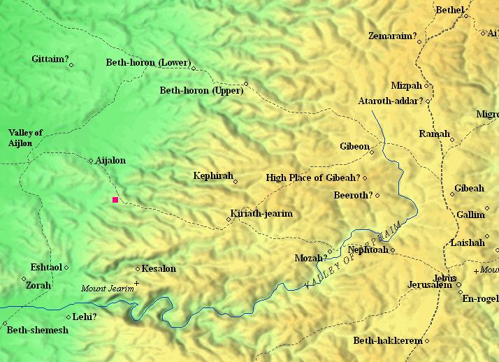
Biblical Map: Area around Mount Heres – Canaanite through Israelite periods (based on Bible Mapper 3.0)
-
Roman period
One of the major Roman roads from the coast to Jerusalem passed through Nahal Ilan, where it started its ascent to the city. The Roman road on this section is part of the ancient road from Jaffa to Jerusalem. The PEF survey report (1878) of this section (SWP 3 XVII p56) is as follows: “…an old Roman road from Yalo [Ayalon, today Park Canada] runs south nearly to Bab el-Wad [Sha’ar Hagay], then, turning east, ascends 1,400 feet in 4 miles, and joins the modern road west of Kuryet el ‘Enab [Abu Ghosh]. A milestone lies beside the path on the ascent.”
This road is mentioned in the event following the resurrection of Jesus (Luke 24:13): “And, behold, two of them went that same day to a village called Emmaus, which was from Jerusalem about threescore furlongs. And they talked together of all these things which had happened…”.
The Peutinger Map (Tabula Peutingeriana) is a medieval map which was based on a 4th C Roman military road map. The map shows the major roads, with indication of the cities, and geographic highlights (lakes, rivers, mountains, seas). Along the links are stations and distance in Roman miles (about 1.5KM per mile). The roads are shown as brown lines between the cities and stations.
In the section shownhere is the area of Jerusalem, drawn in a rotated direction (Egypt on the left, the Mediterranean sea on the top). Jerusalem is illustrated as a double house icon, which represents a major city. It is listed as “formely called Jerusalem, now called Aelia Capitolina” (antea dicta Hierusalem n(unc) Helya Capitolina).
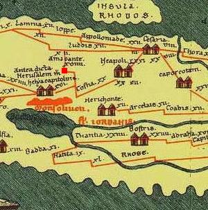
Emmaus is indicated as “Amauante“, just above the icon of Jerusalem. It is located on the road from Jerusalem to the cities in the Sharon (Jaffa, Caesarea and Ashkelon). The distance from Jerusalem to Emmaus is indicated as “XVIIII” (19 miles – about 29KM).
The section where the road passes through Nahal Ilan is indicated as a red square.
-
Ottoman period
The sites around Nahal Ilan were examined in the PEF survey (1866-1877) by Wilson, Conder and Kitchener. This area appears in the center of the section of this map of 1878. Nahal Ilan appears on this map in its Arabic form – Wady A’lakah.
Their reports on some of the sites:
- Kh. el Jerabeh – “traces of ruins”
- Kh. el Kusr (the fortress on the Roman Road)- “Square foundations of good-sized masonry. A rock-cut cistern, vaults, and a cave. The place appears to have been a station on the Roman road”.
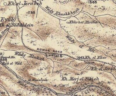 Part of Map Sheet 17 of Survey of Western Palestine,
by Conder and Kitchener, 1872-1877.
(Published 1880, reprinted by LifeintheHolyLand.com)
Note that the modern motor way through Bab el-Wad (Sha’ar Hagay) was not the path of the Roman road: As a preparation for the historic visit of Franz Jozeph I, the emperor of Austria (Nov 9, 1869), the road from Jaffa to Jerusalem through Bab el-Wad was paved with stones (1867-1869). A total of 17 forts were built along this road. Only four of them survived, including the 13th station near the gas station in Bab el-Wad (the site of Hurvat Harsis).
-
Modern period
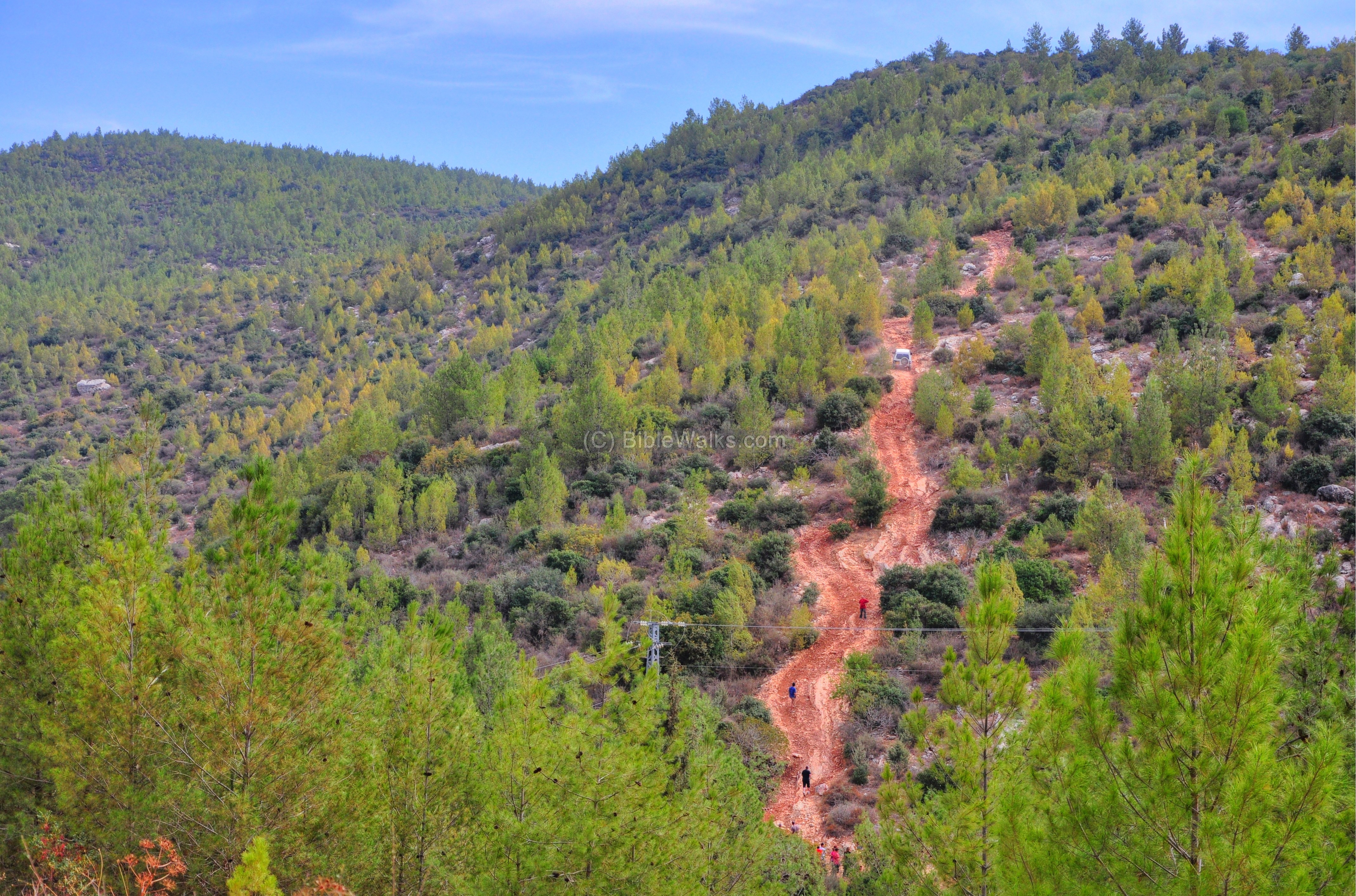
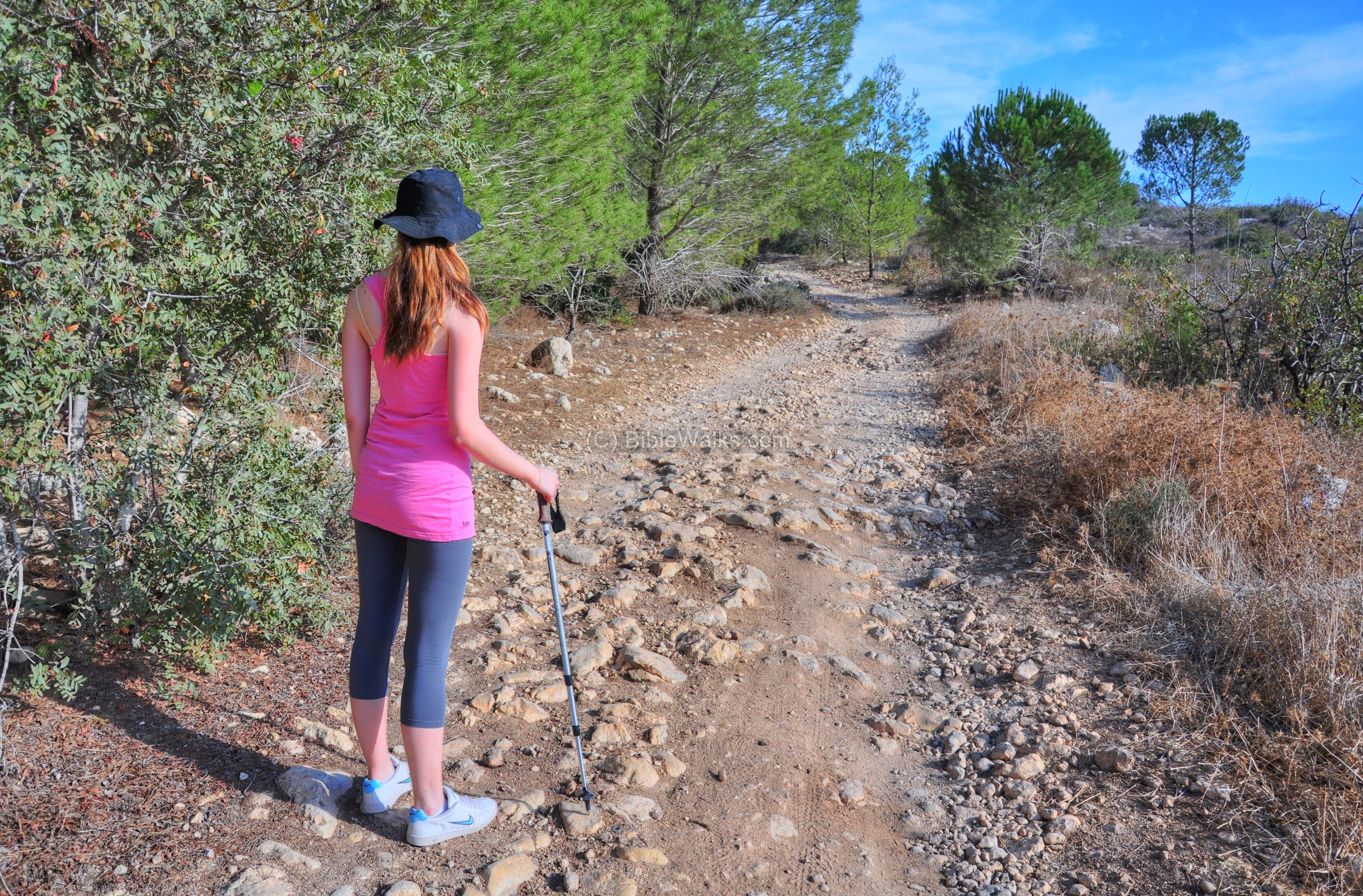
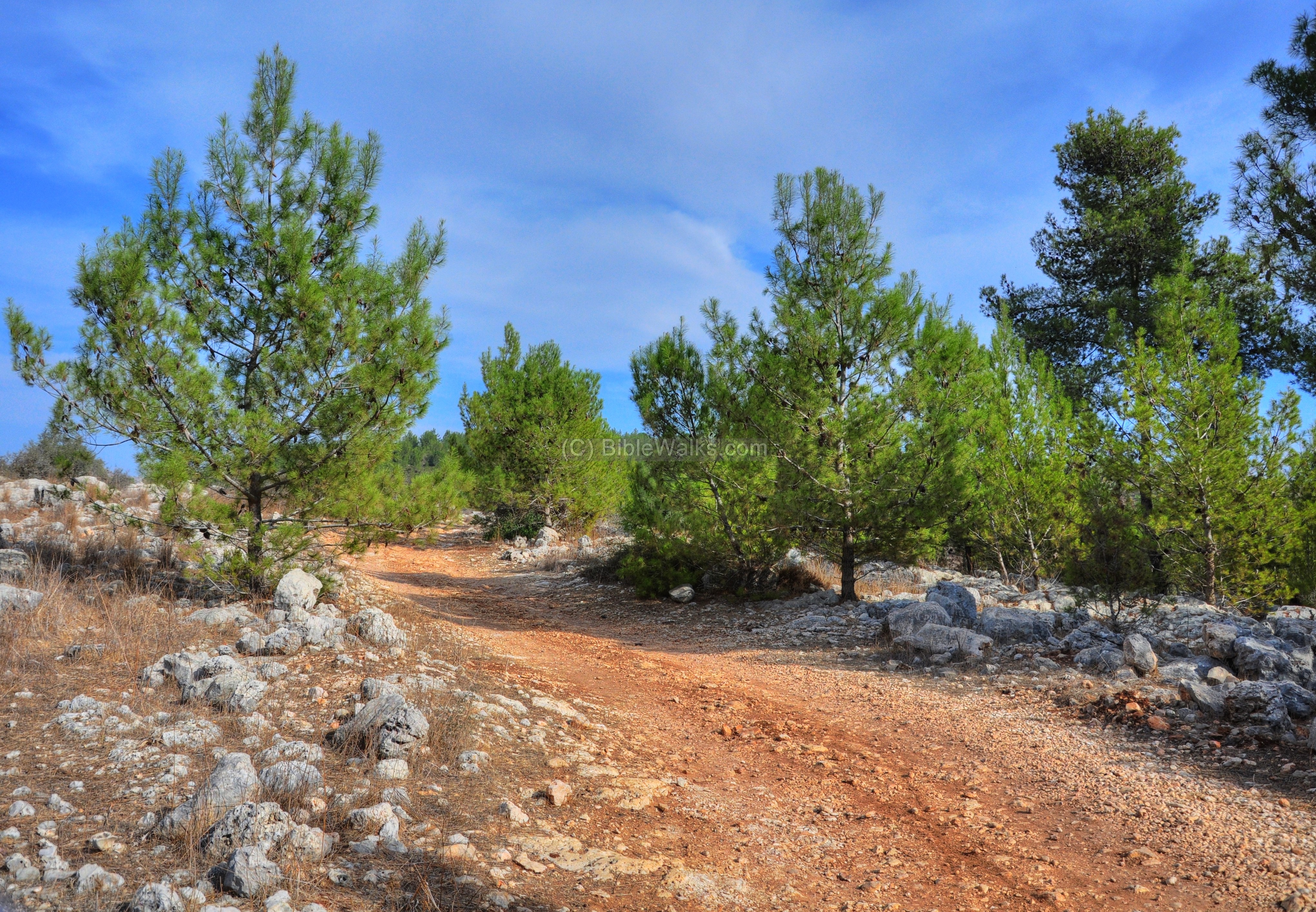
The area around the site is covered by a forest of tall pine trees. This open park area, east of Canada Park, is popular among drivers of 4×4 road vehicles. You can see these crazy drivers ascend on the steep hillsides, sometimes exceeding reasonable risks. Some hikers – like us – also walk along the country roads and enjoy the relaxing scenery. Families also come here for a weekend picnic.
A new rail road to Jerusalem is constructed nearby, and the earth movers are changing the landscape on the north side of Bab el-Wad. Hopefully soon (2012?) this construction project will be completed and the picturesque scenery will resume its former state.
Photos:
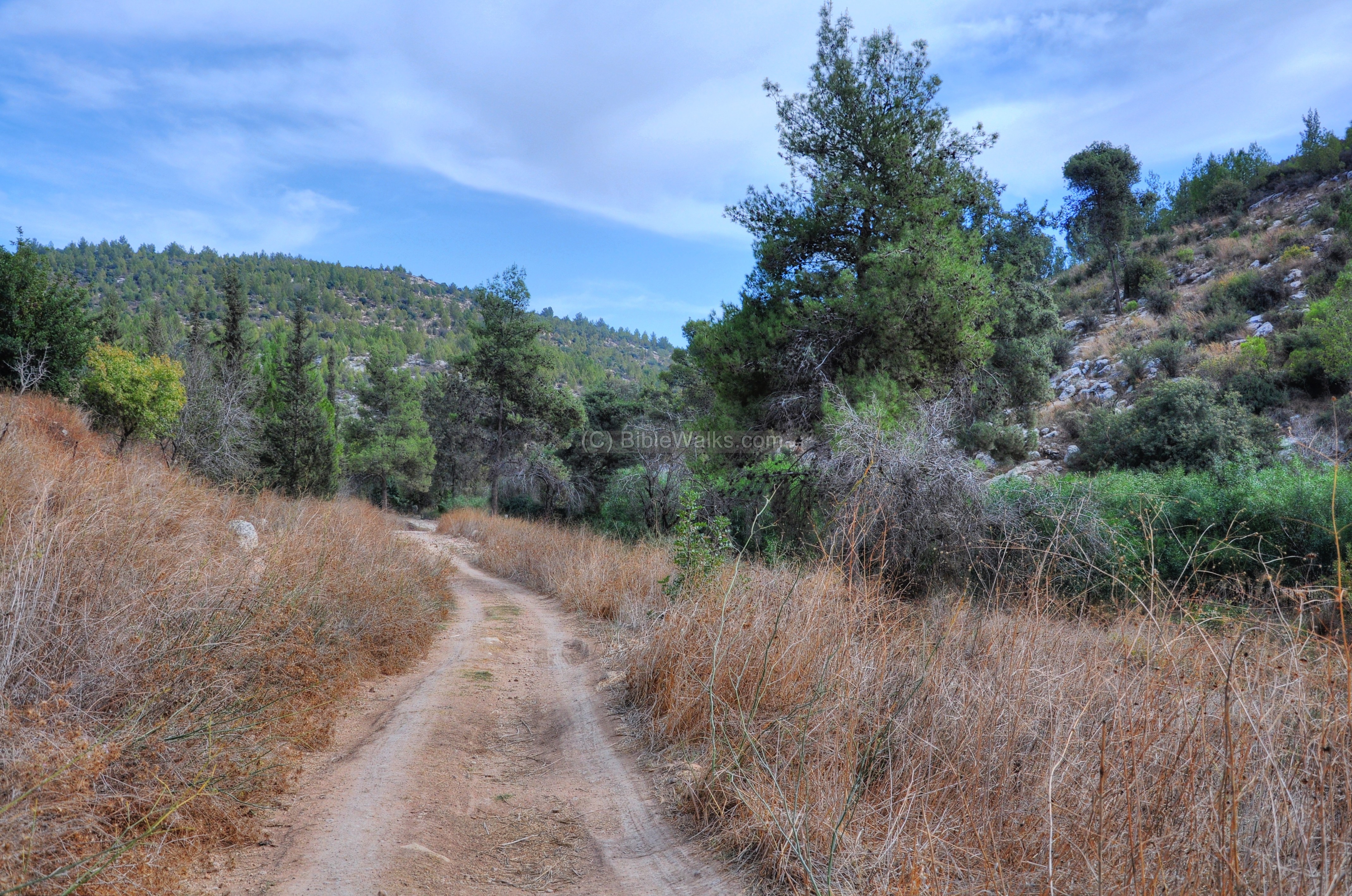
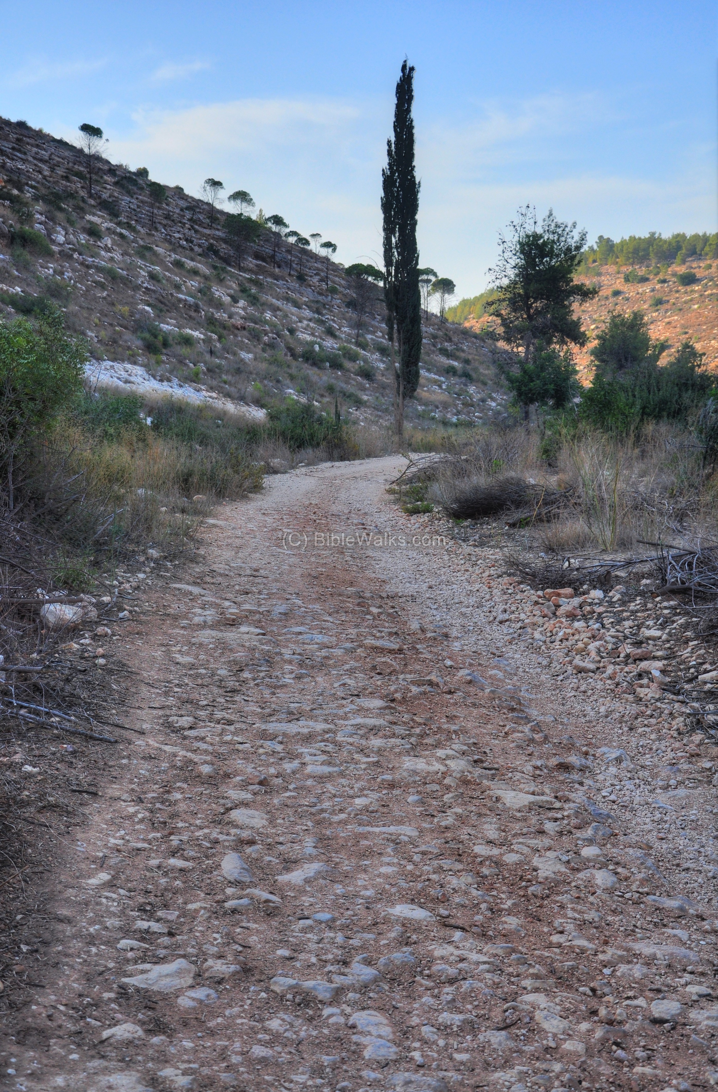
(a) Enter the Valley:
We started our tour of the lower section of Nahal Ilan from the west side, by turning north along a country road which starts from the gas station at Bab el-Wad. We soon were surrounded by a forest of pine trees and bush.
Click on the photos to view in higher resolution…
The park area is popular among drivers of 4×4 road vehicles. They ascend on the steep hillsides, sometimes exceeding reasonable risks. In Ma’ale Guri, one of the the steepest of all ascents, a number of vehicles were stuck for more than an hour during their bold attempt to drive up the tough terrain.
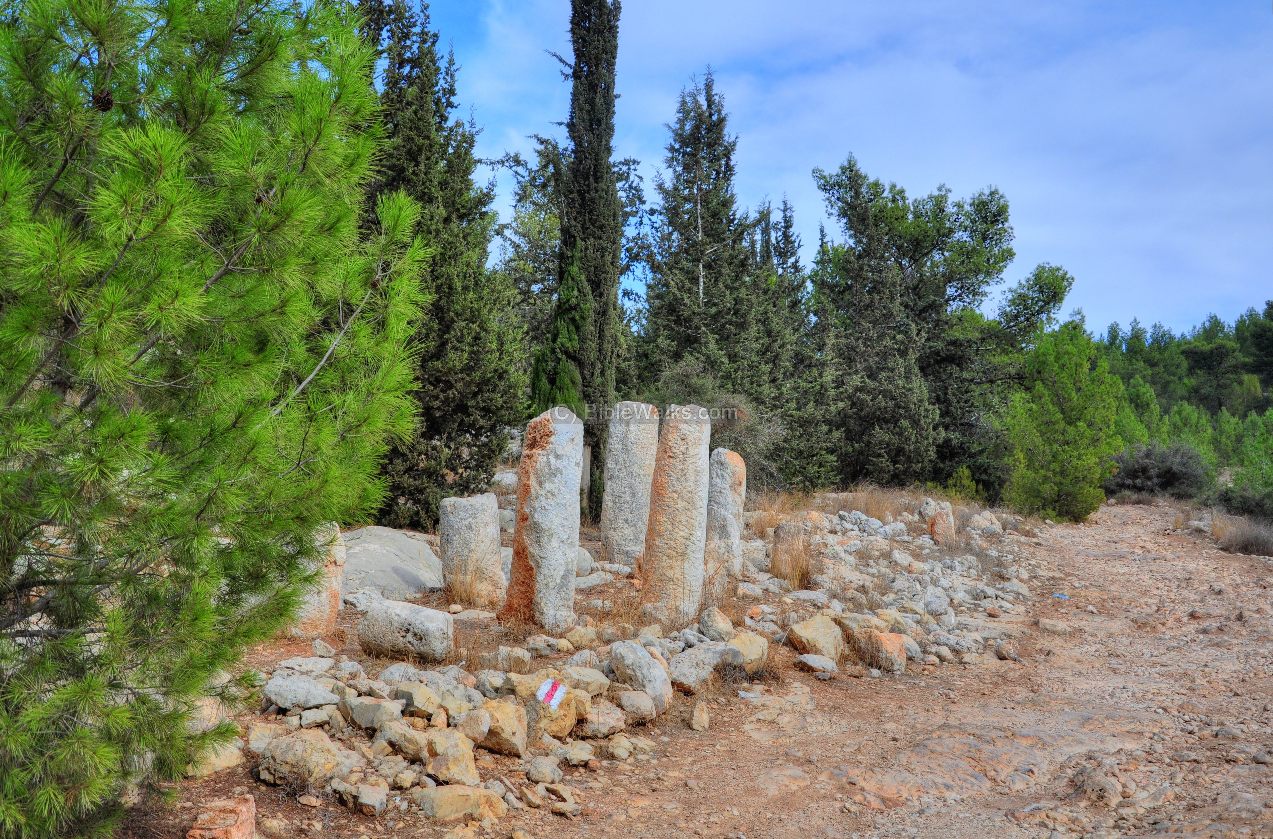
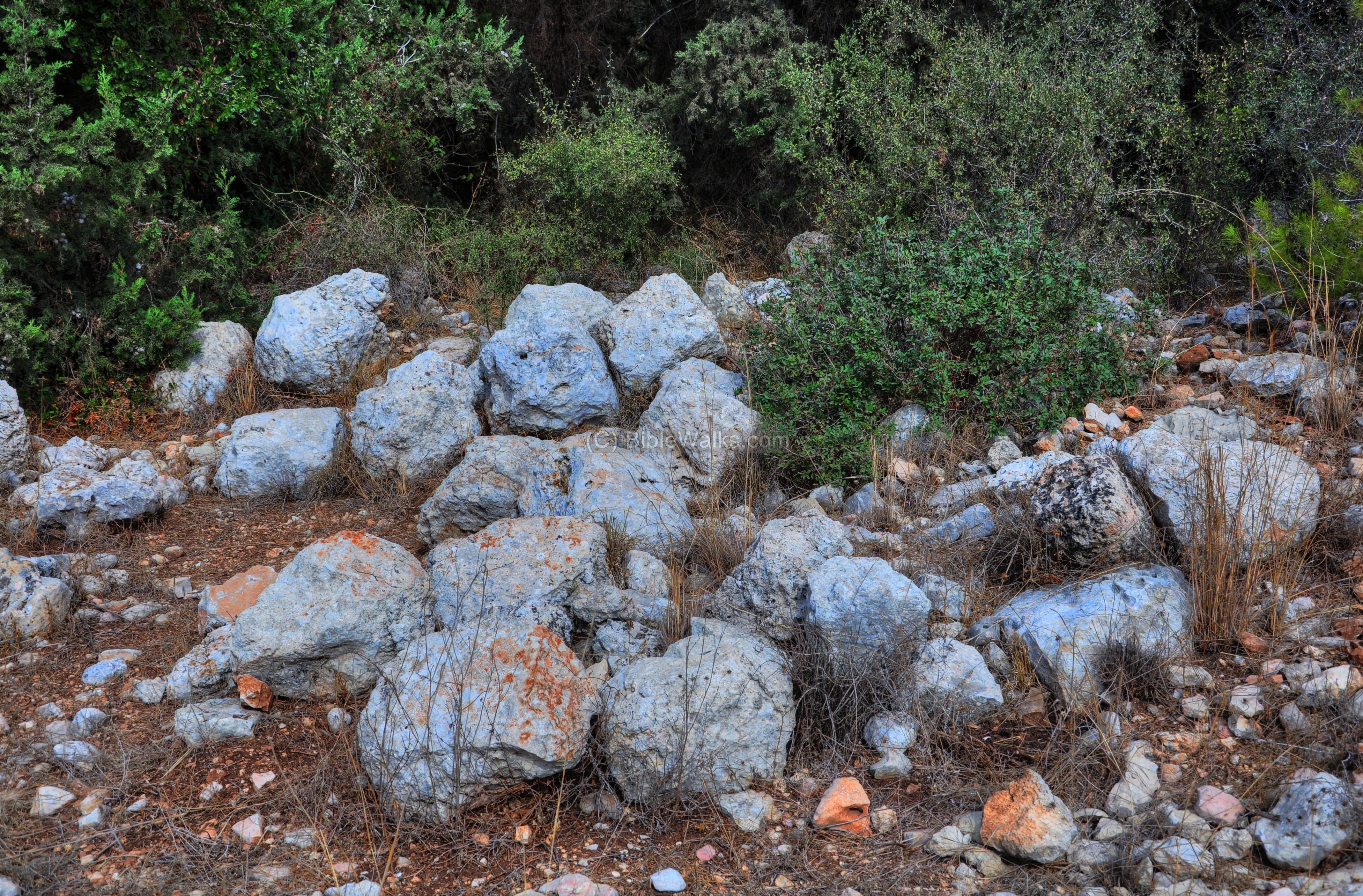
(b) Roman Milestones:
A number of Roman milestones were collected from the road that passed at this location, and grouped together. They are located on the northern ridge above Nahal Ilan, so you will have to climb up a steep path – or drive there with a 4×4 vehicle.
Roman milestones are usually inscribed with Latin or Greek inscriptions, and in most cases bear the name of the Caesar, the road name (in this case – Emmaus to Jerusalem), the position or range along the road, and an optional blessing to the Emperor.
The following picture shows one of the milestone from a closer range. It bears a Latin inscription, and is dedicated to Gaius Julius Verus Maximinus (ruled 235-238AD). This Roman emperor, Maximinius, was born in Thrace (hence his nickname Maximinus Thrax), and was the first of the soldier-emperors. He spent the three years as Caesar in the battlefields.
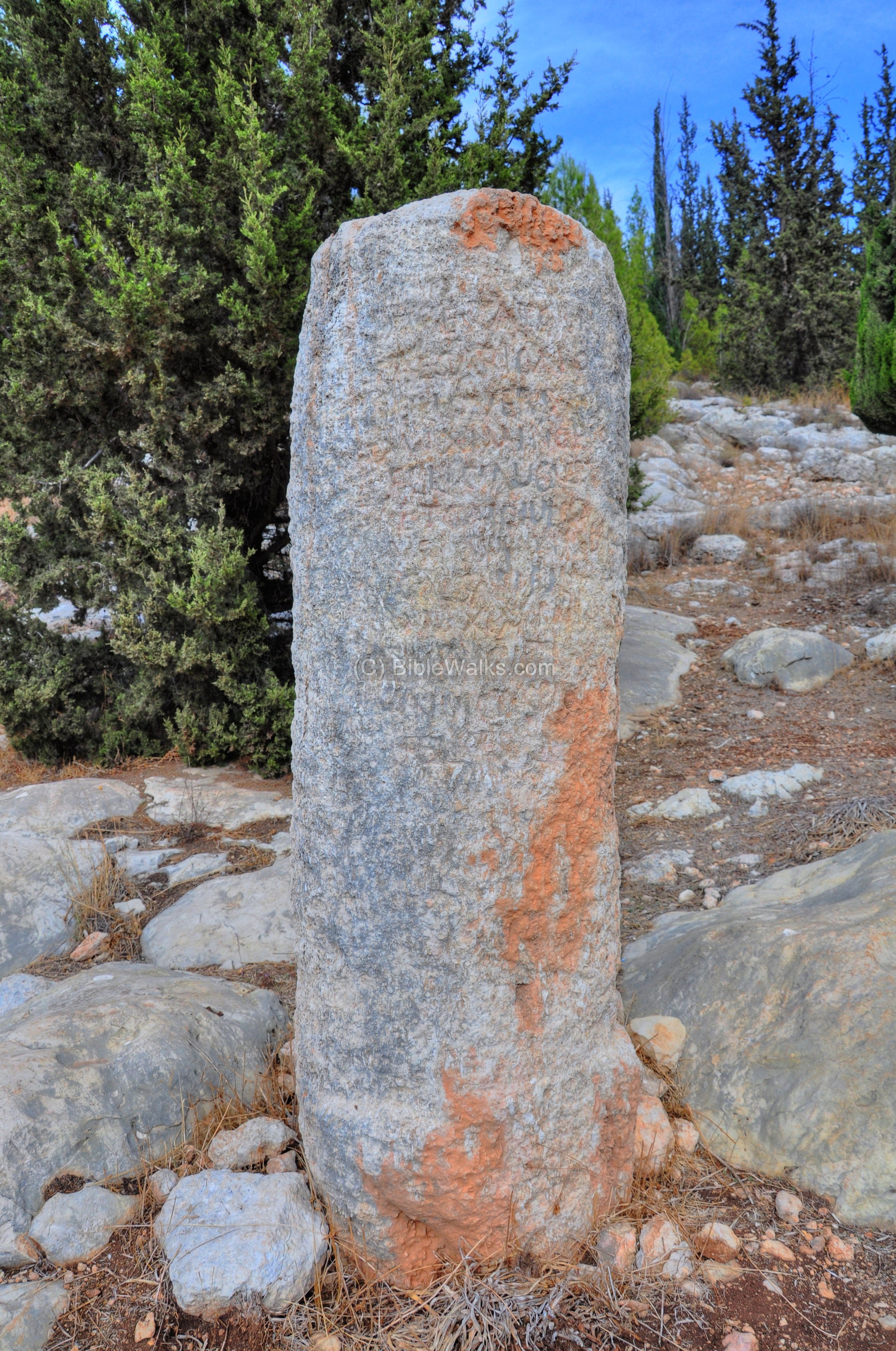
A closer view of the inscription (notice on the 3rd and 8th lines the word “MAXIMIAN” and on the 4th line the word “AUG” short for Augustus):
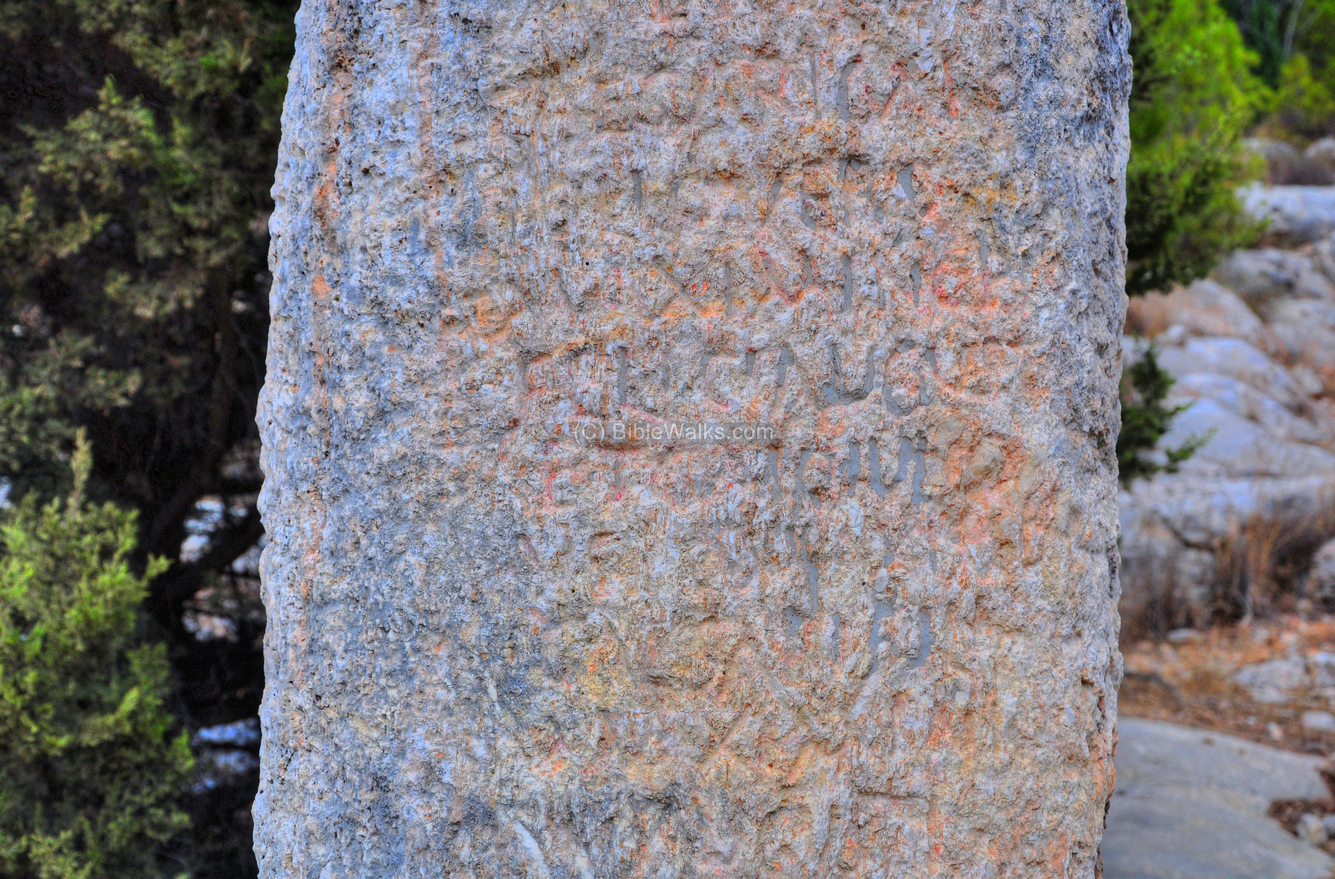
These milestones show that there was a considerable amount of road-building or repair during the middle of the third century.
Amit is seen standing by the milestones in the picture below.
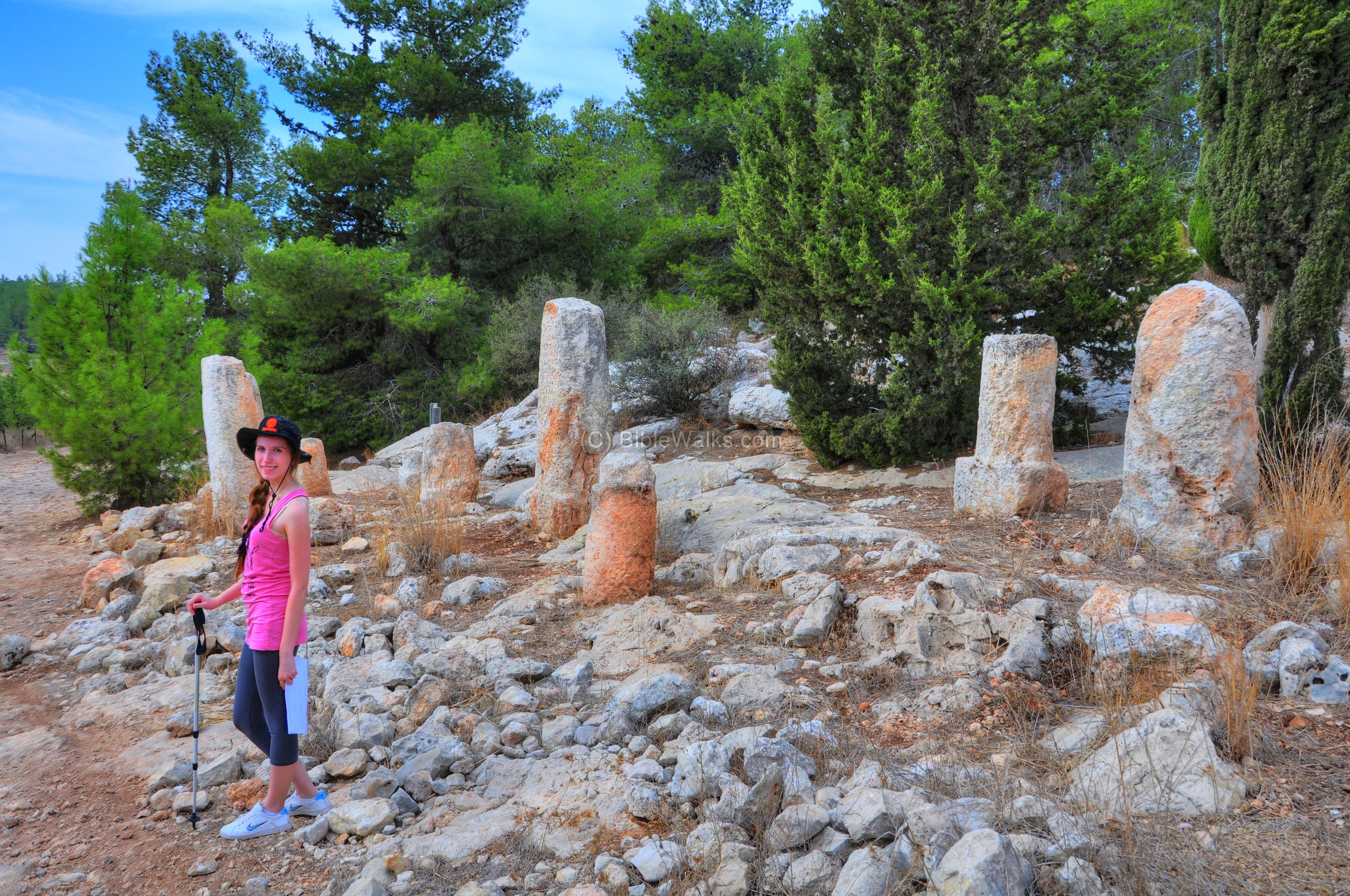
The Roman road from Emmaus to Jerusalem crosses the site of the group of milestones, on its way westwards from Jerusalem to Emmaus and the coast of Israel. This route is located on the top side of the ridge, following the course of the valley. A parallel Roman road is also located in the bottom of the valley (which is on the left).
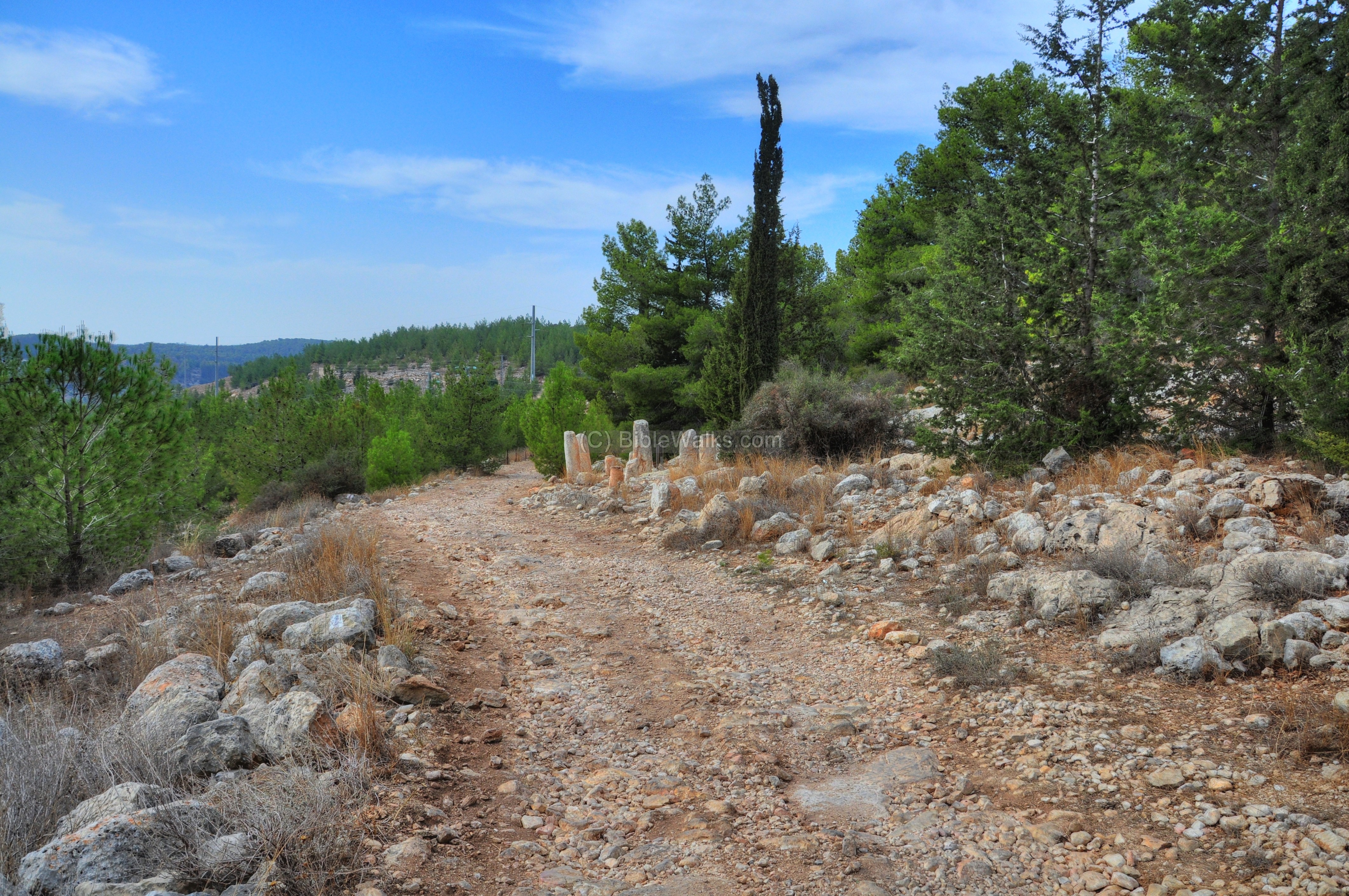
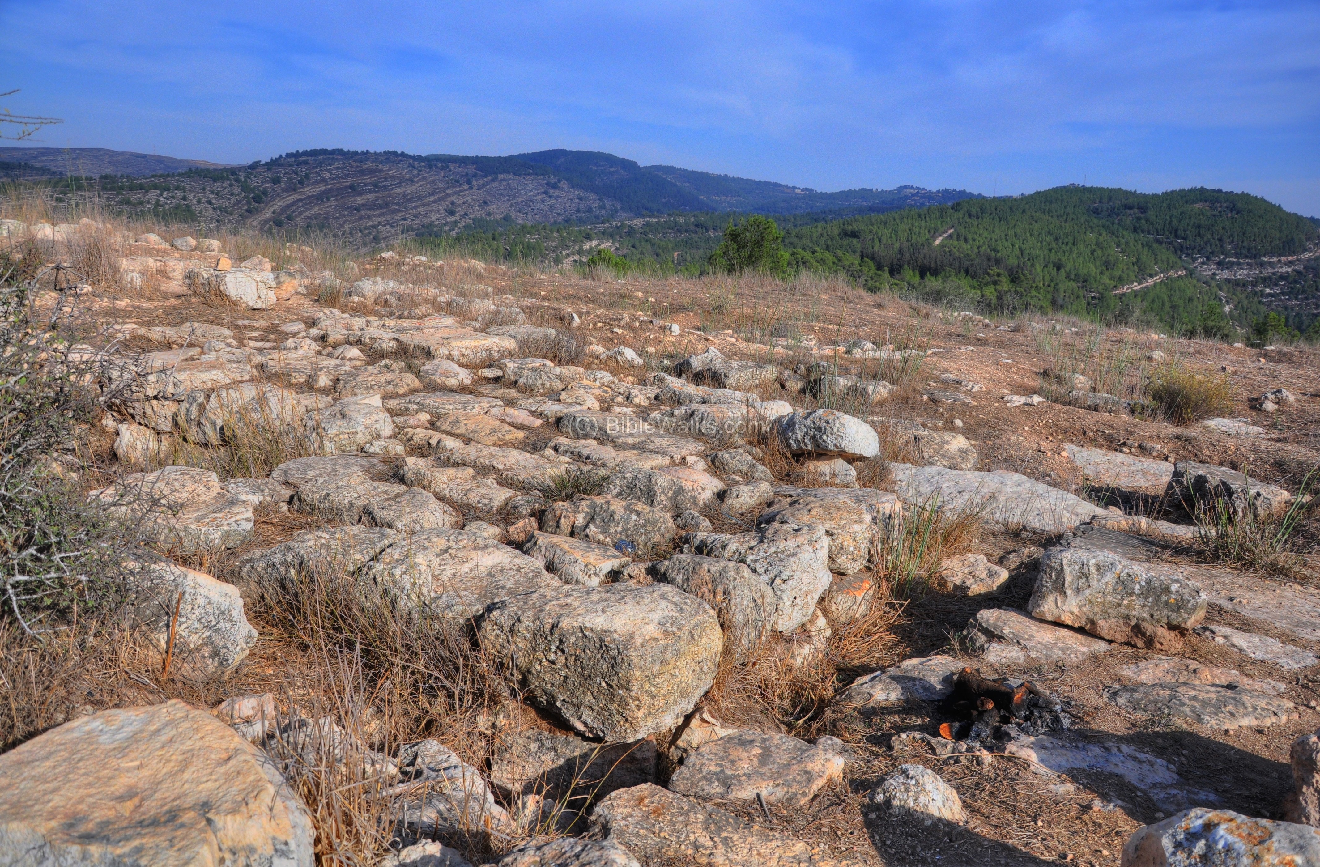
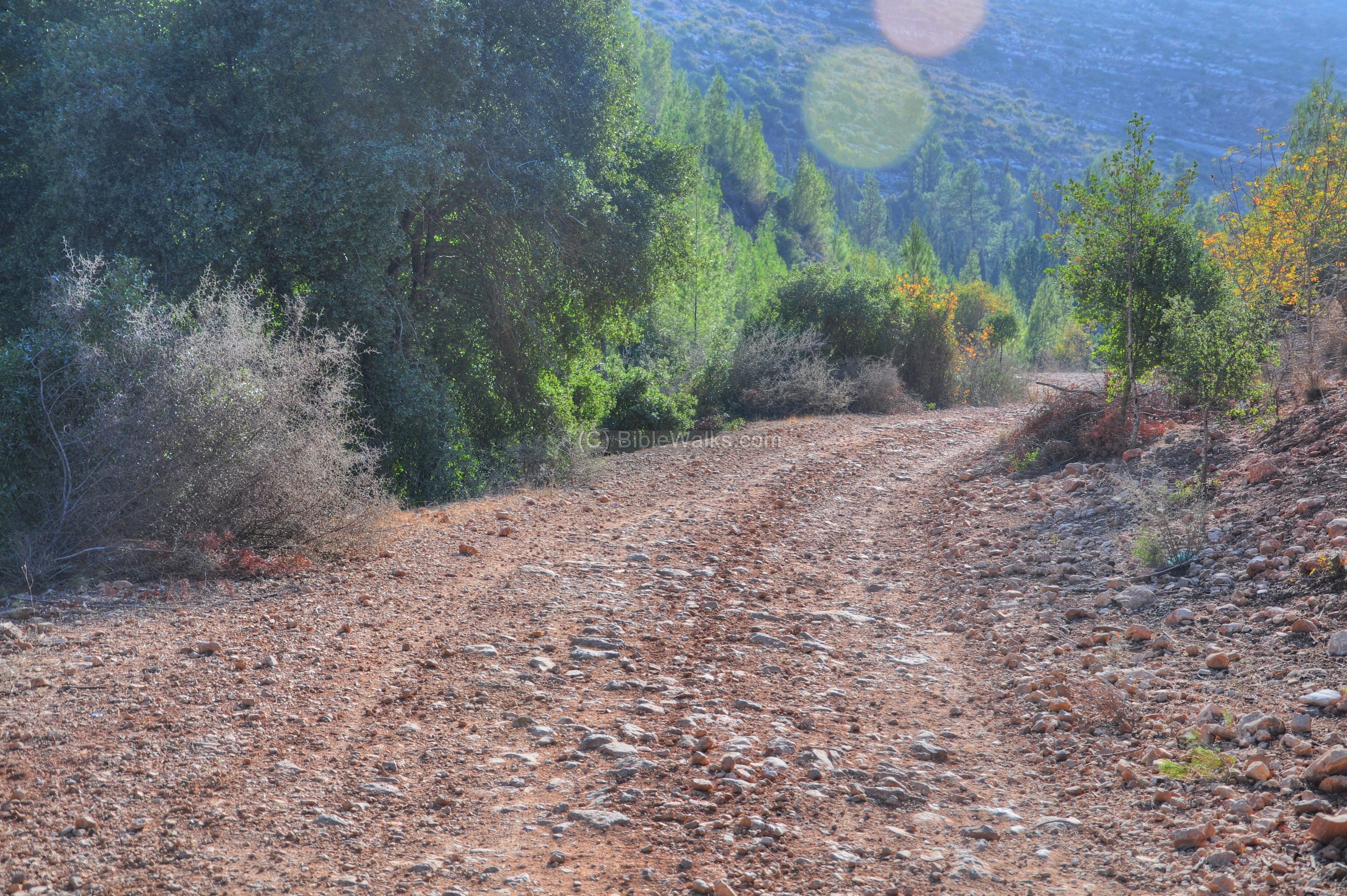
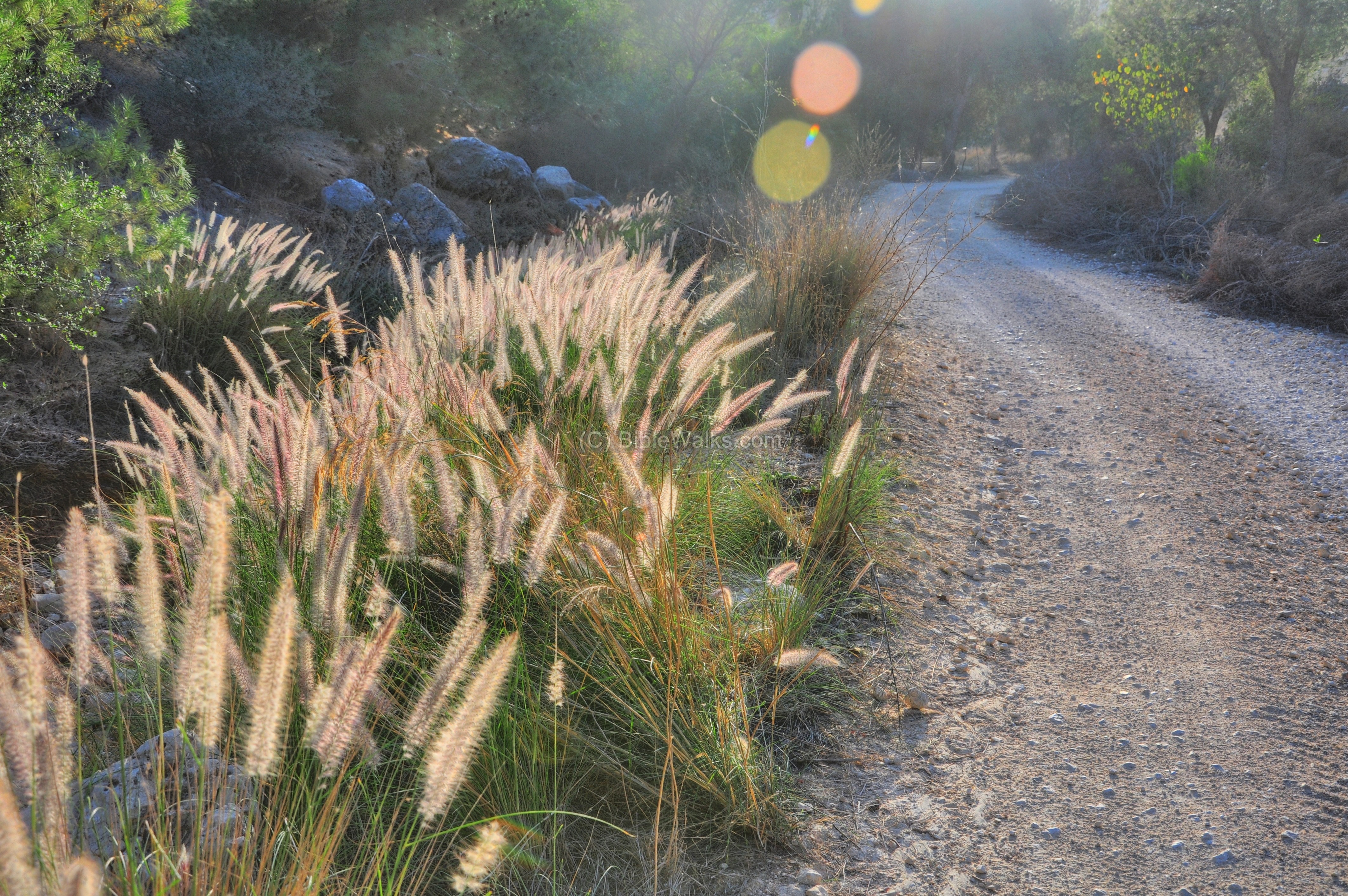
(c) Roman Road (Upper route):
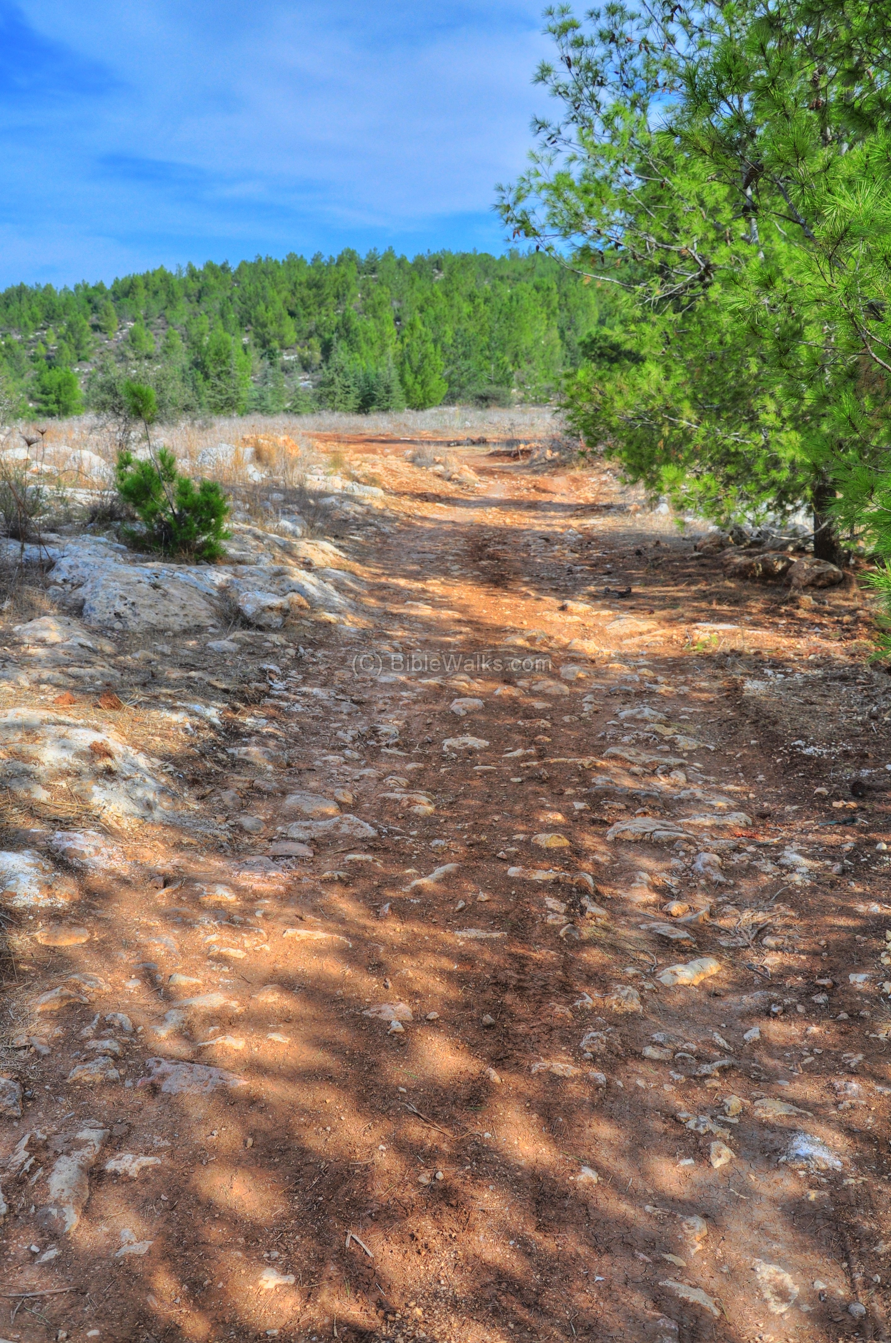
The following pictures are arranged in the order from west to east, walking along the Roman road from the group of milestones towards Jerusalem. The photo below is a section of the road near the milestones, where the road ascends up the hill. The pavement of the road has been damaged over the years, and very few remained from the original Roman pavement.
Along the road we noticed some ruins of a structure, which may have been part of the installations which supported the users of the road.
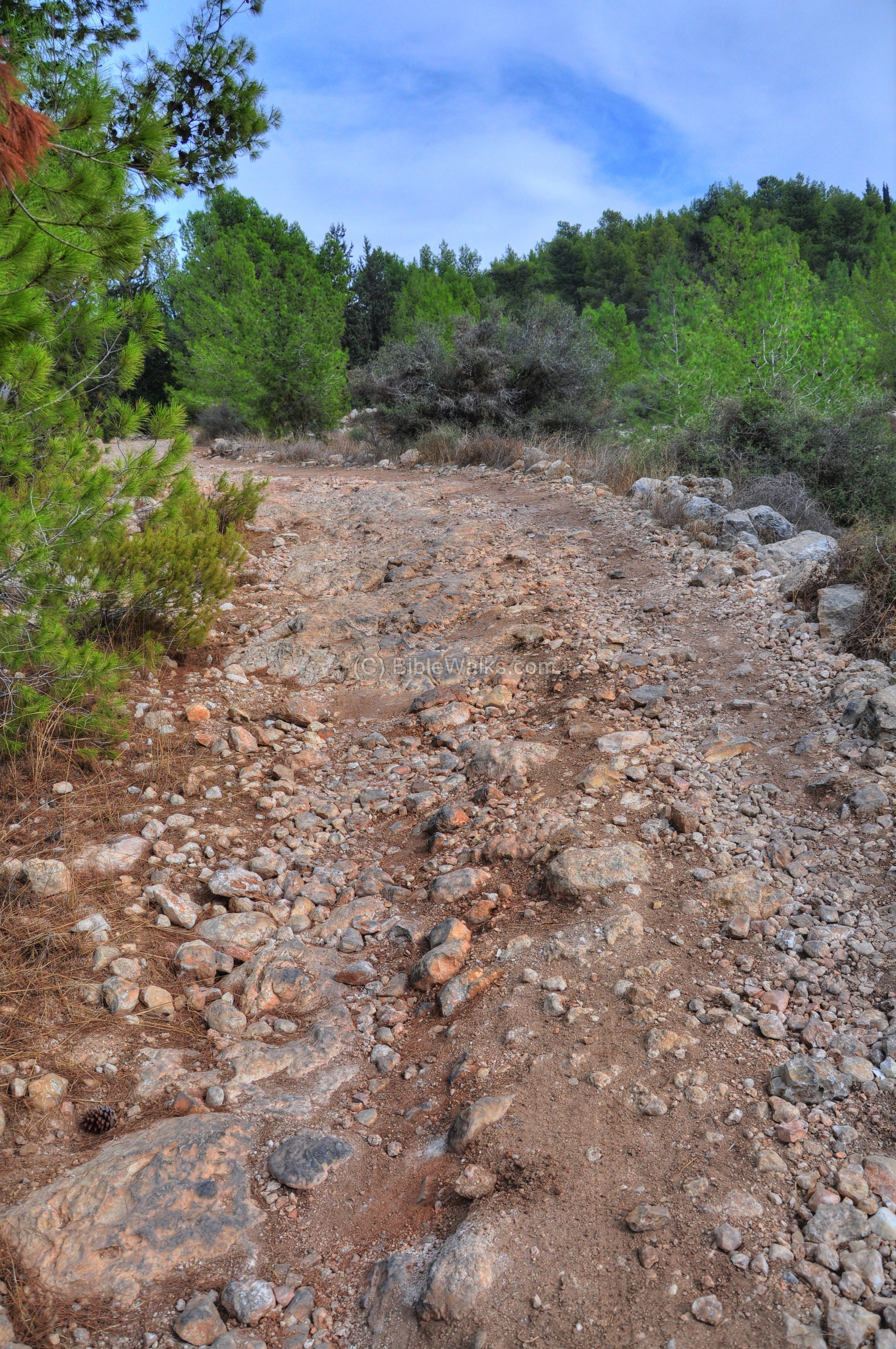
Walking along the road…
This may have been the section of the road from Jerusalem to Emmaus, as mentioned in the event following the resurrection of Jesus (Luke 24:13): “And, behold, two of them went that same day to a village called Emmaus, which was from Jerusalem about threescore furlongs. And they talked together of all these things which had happened…”.
Further east, the road crosses a flat area:
Another section, with more visible pavement stones:
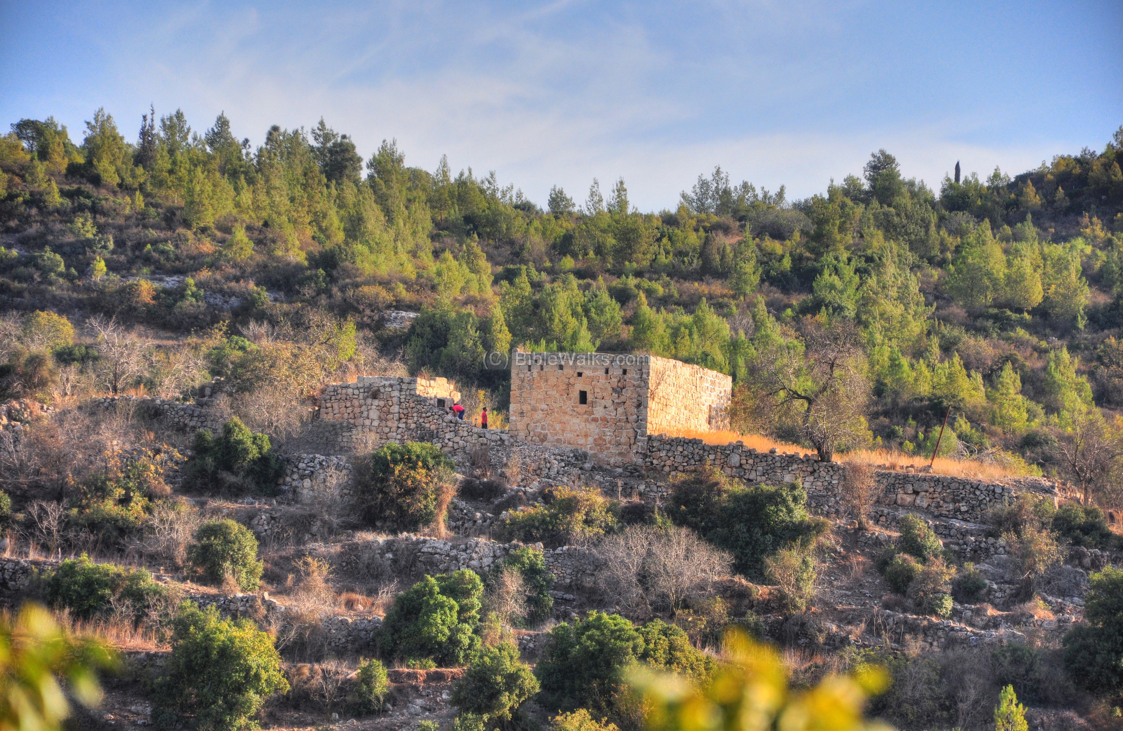
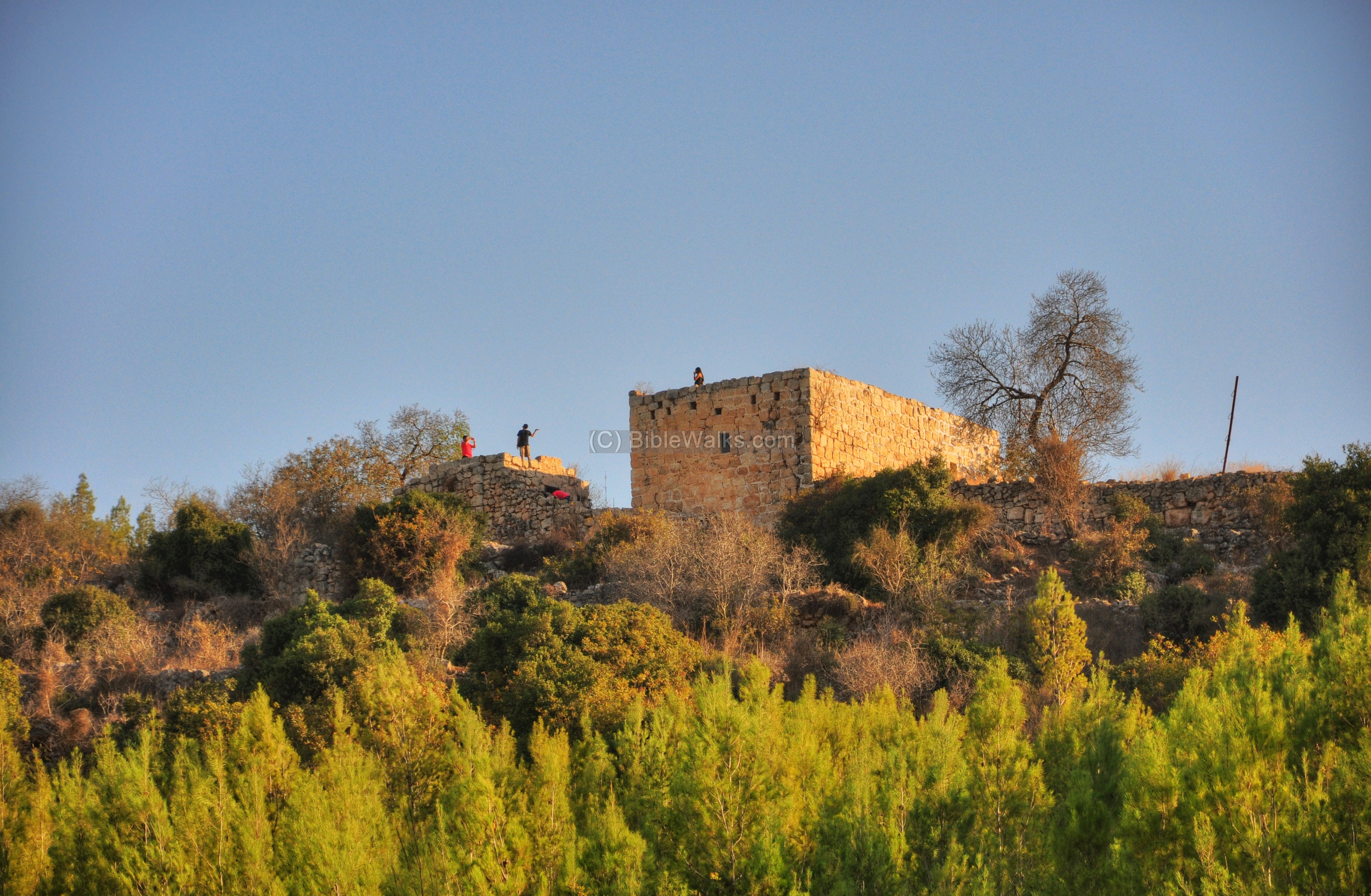
(d) Horvat Matzad:
A small fortress is located on the north side of the Roman road, about 1.5Km east of the group of milestones. It is called Horvat Matzad, meaning “Ruins of the fortress” (Hebrew), based on the Arabic name Khirbet-Kasser (or Kh. el-Kusr as in the PEF/SWP survey).
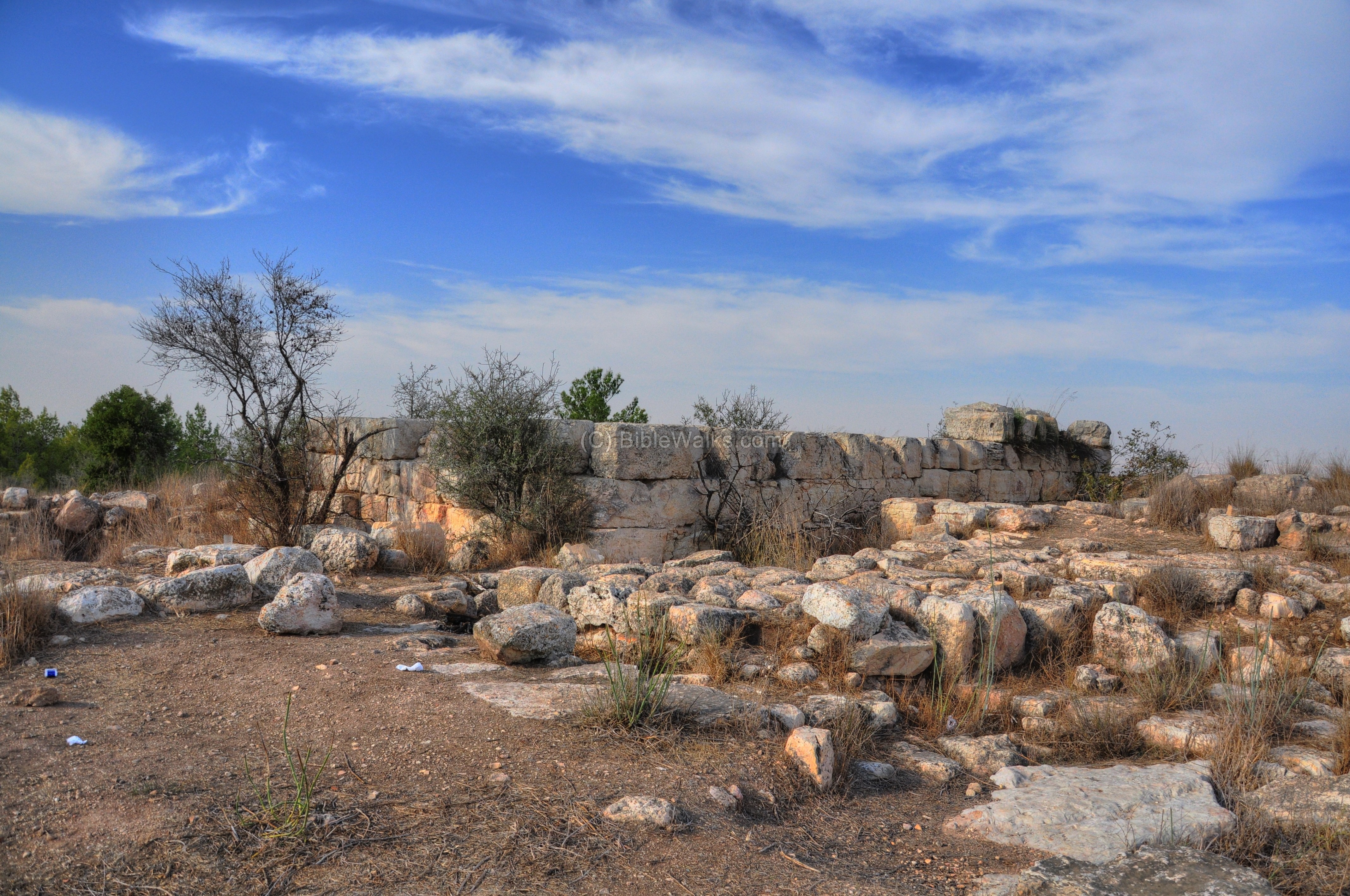
The PEF survey (1878) wrote about Kh. el Kusr: “Square foundations of good-sized masonry. A rock-cut cistern, vaults, and a cave. The place appears to have been a station on the Roman road”.
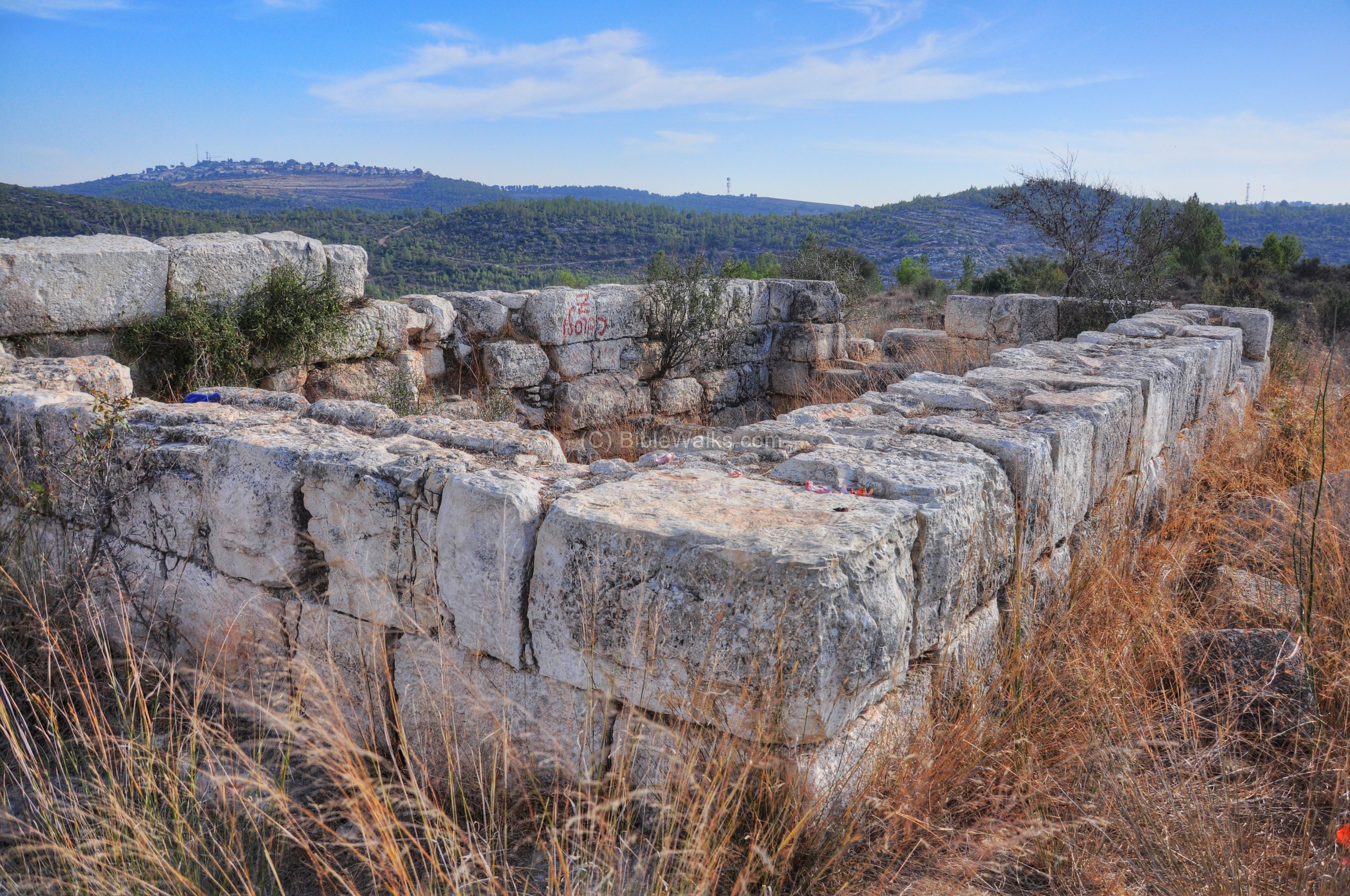
The structure is dated to the Byzantine period, but is built on earlier ruins dated to the Hasmonean period (2nd century BC). This fortress was in use until the Early Arab period (7th century AD). Its purpose was to protect and control the road.
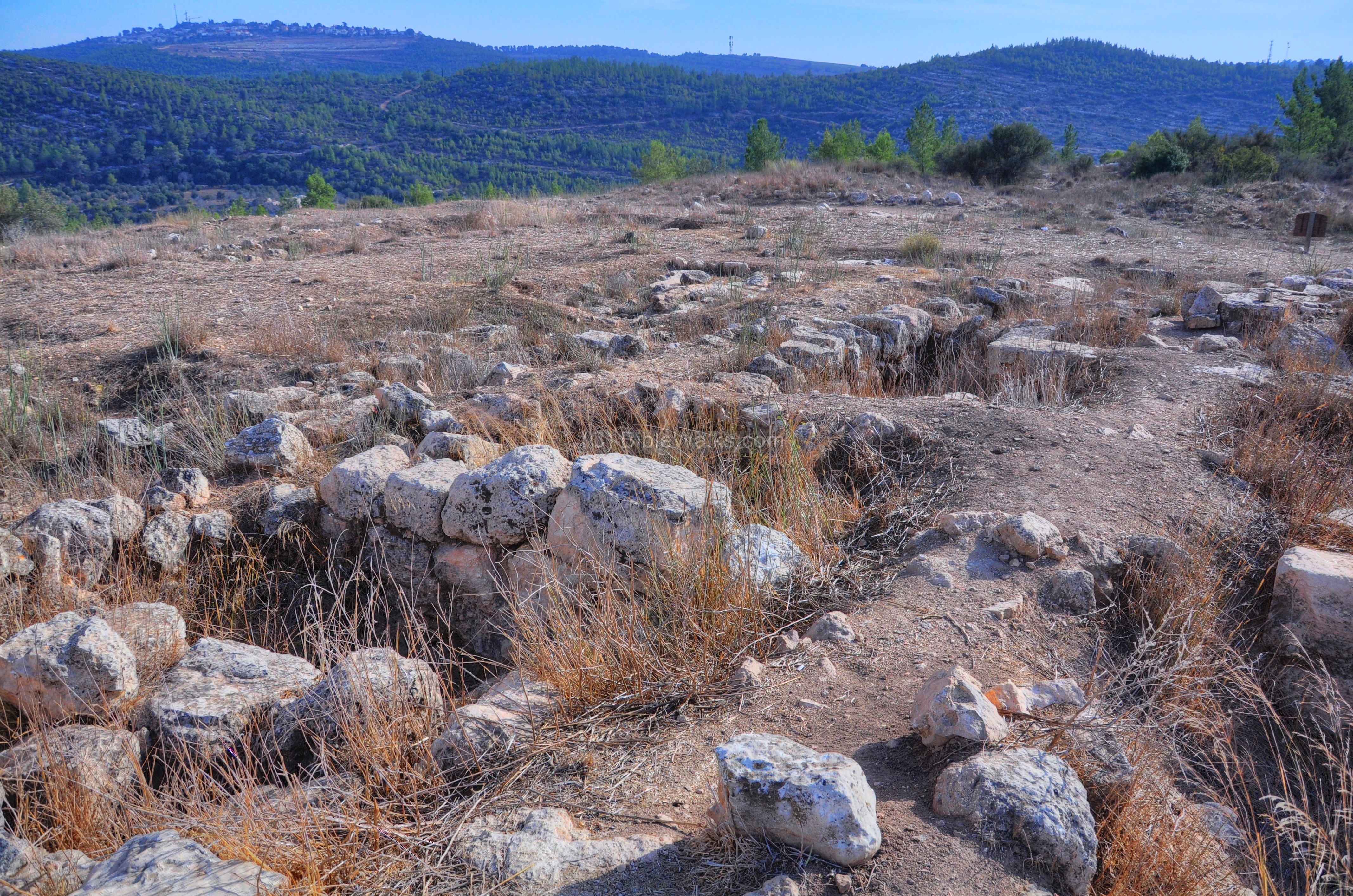
Around the central structure are traces of ruins of other buildings and cisterns.
A cave (which used as a large water reservoir) and additional ruins are located on the south side of the road.
(e) Sculptures Garden:
After Hurvat Matzad, the road descends eastwards towards the valley.
After 400m the road reaches an open air sculpture garden and a picnic area. Many families come here on the weekend, reaching the site with standard vehicles through Neve Ilan (see map). The place is named “Colleges Forest”, and was established in 1988 by Neomi Eshel and KKL (forest service).
(f) Neve Ilan
Another section of this road from Emmaus to Jerusalem is located 100m south of Neve-Ilan hotel, about 4km to the east of the previous section. Notice the steps that were carved on the surface of the rock.
(g) Khirbet Alalkah:
A single structure stands high above the south side of the valley. Khirbet A’lakah includes a few ruins, cisterns and a rock-hewn wine press are located around it.
Situated on a small hill above the valley, it is an easy challenge for hikers who climb up to the site and observe the area from the roof of the structure.
(h) Roman Road (valley route):
A parallel route of the Roman road is located on the bottom of the valley.
This section is in a better road condition, and even private cars can drive it.
The valley of Nahal Ilan used to be surrounded by tall pine trees, but fires in recent years almost completely burnt down most of the trees.
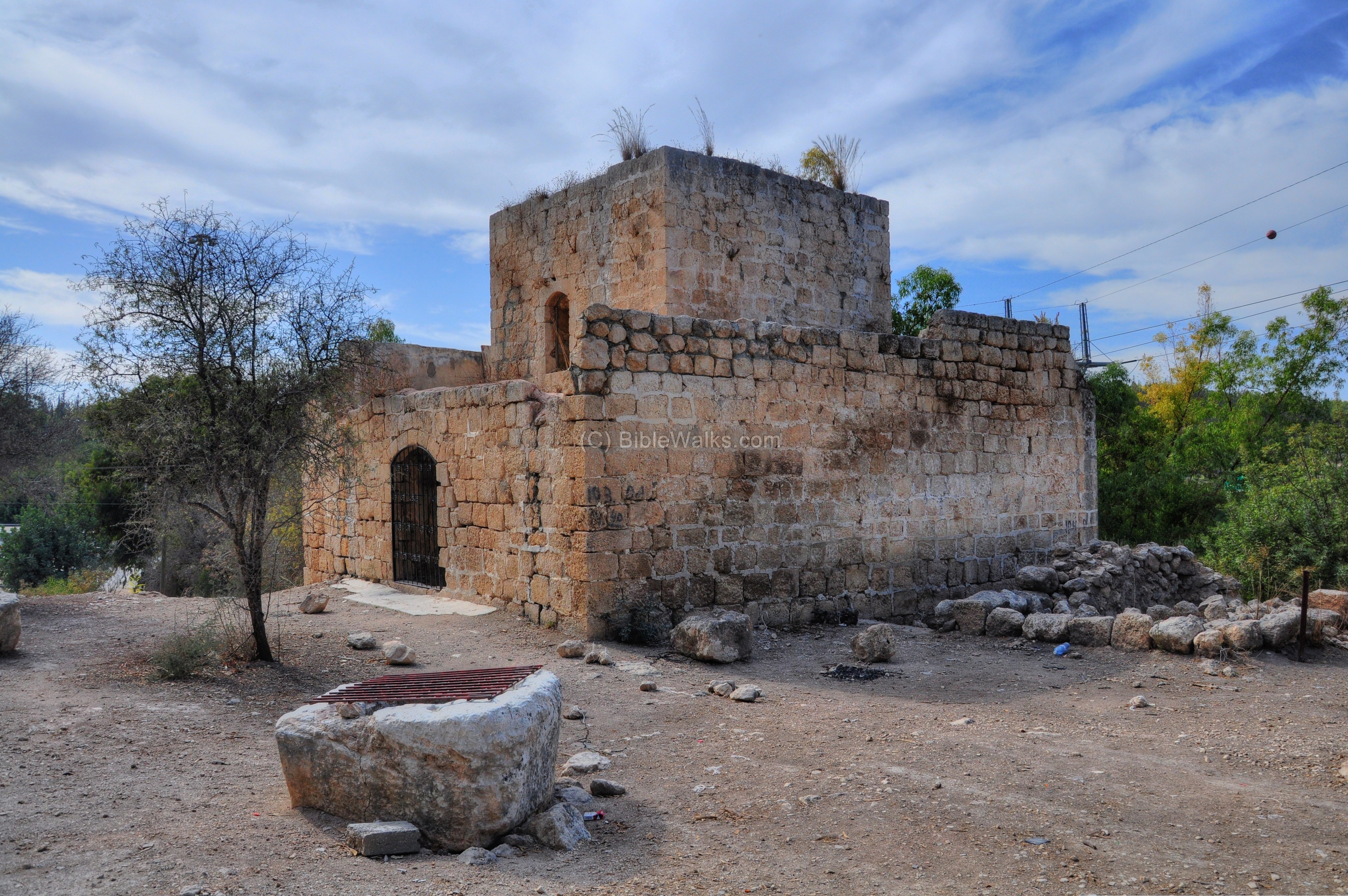
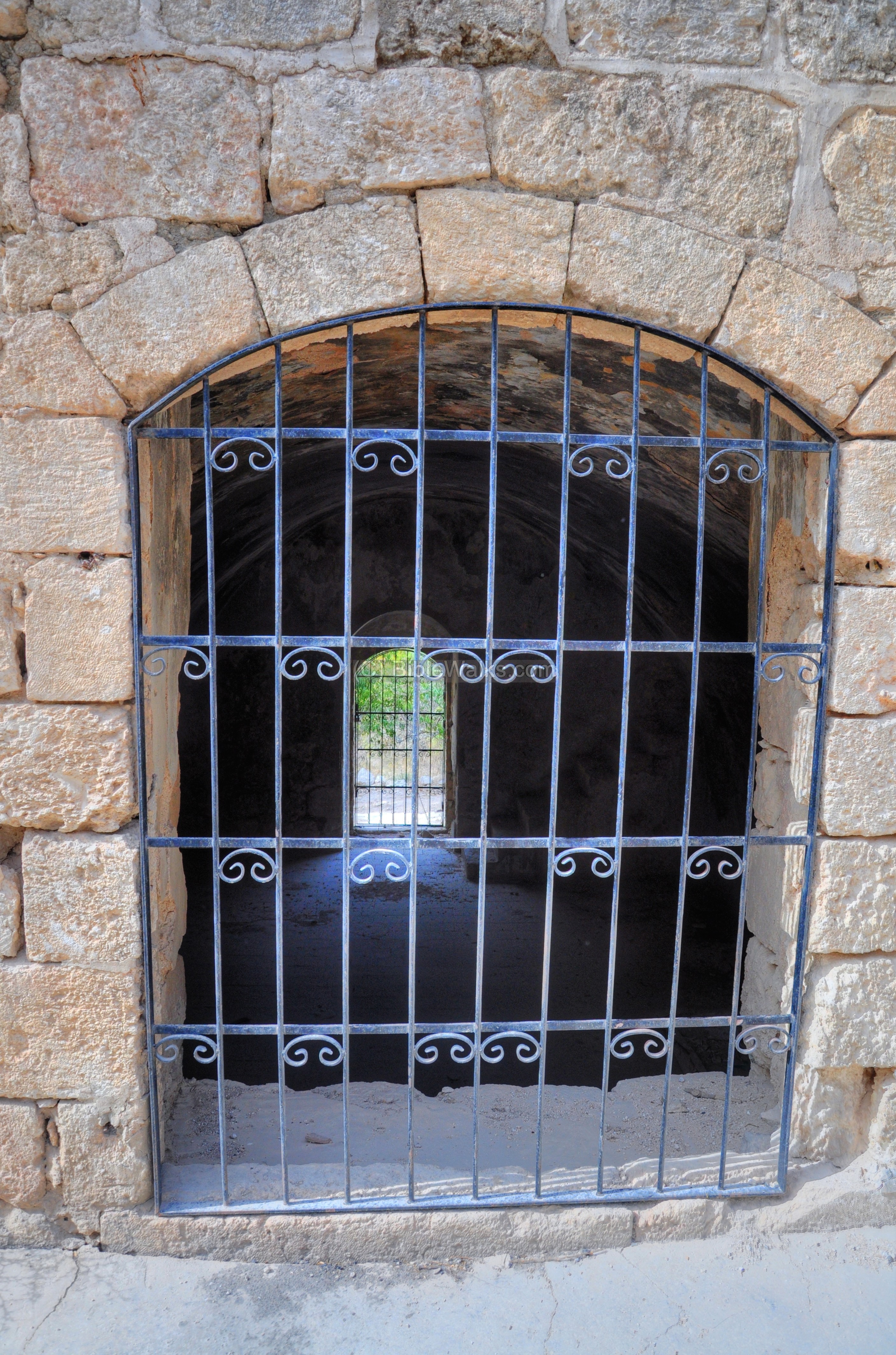
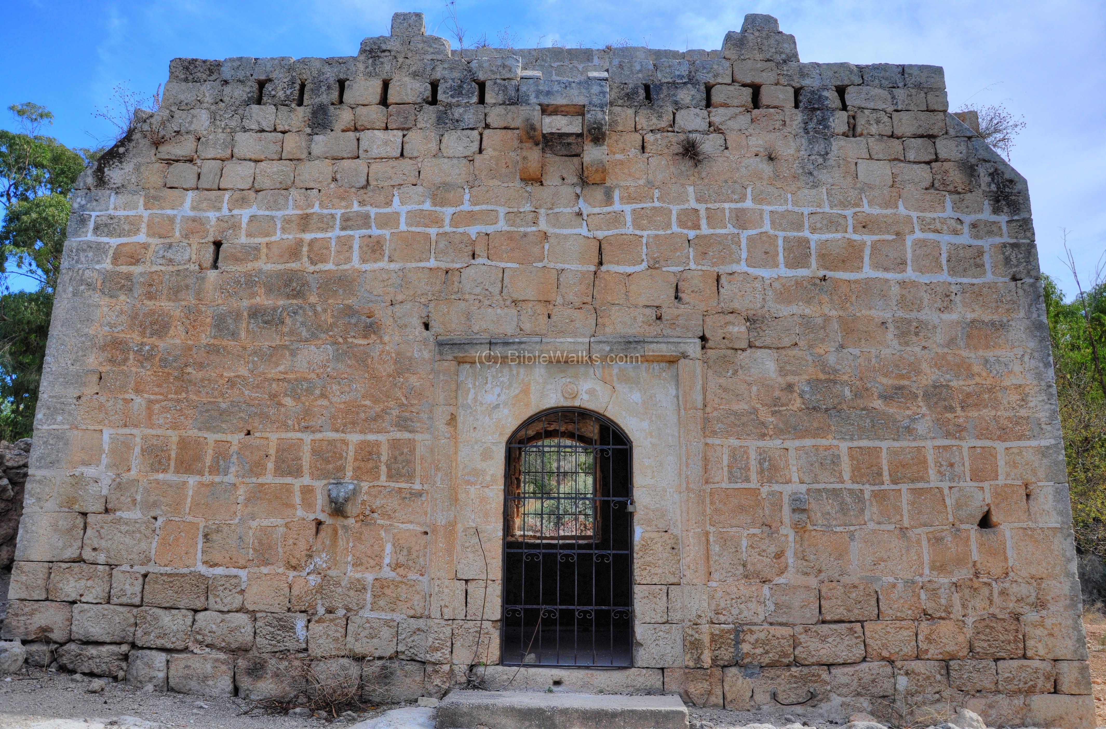
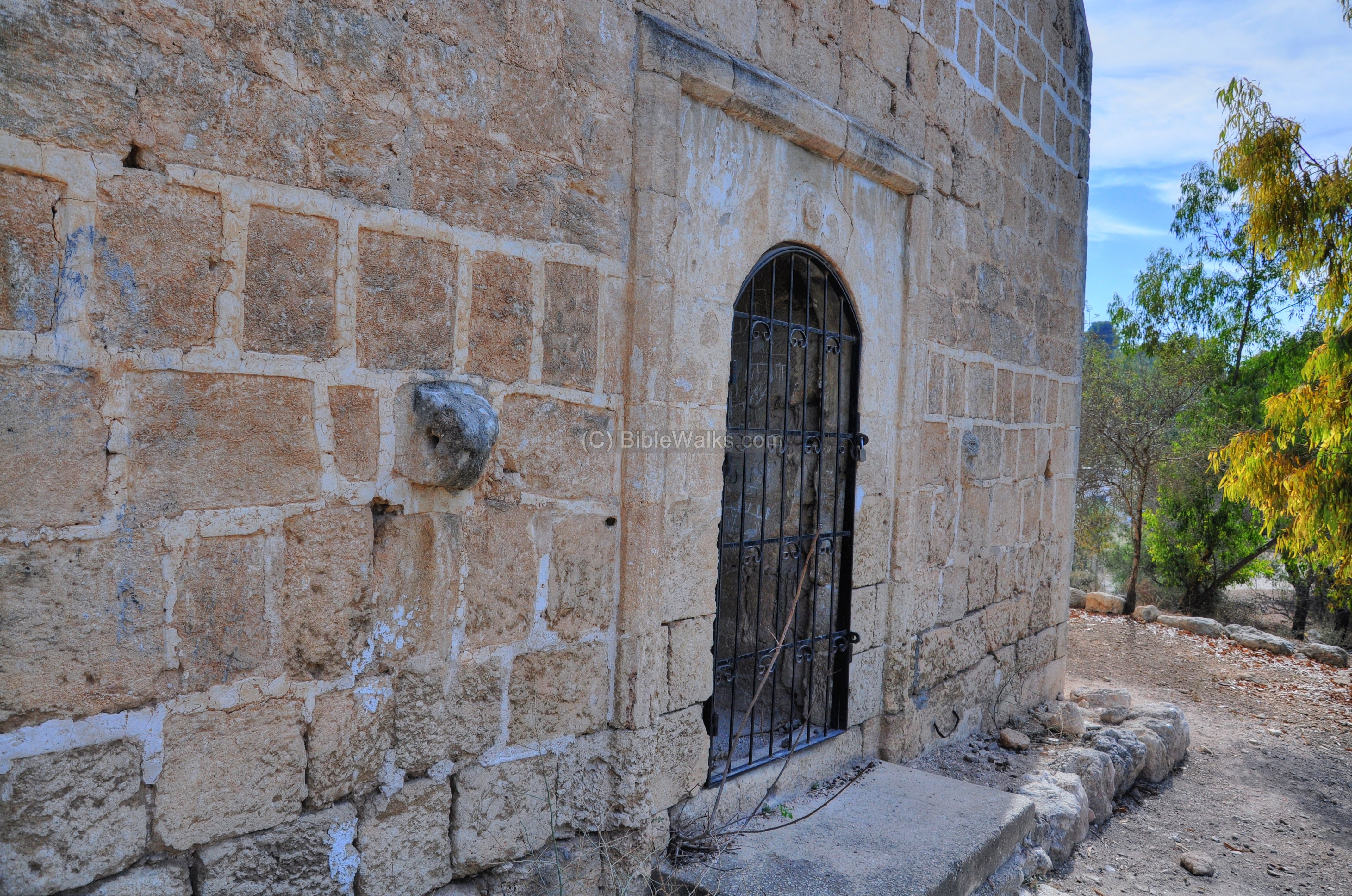
(i) Horvat Harsis:
In Hurvat Harsis, close to the Bab el-Wad gas station, stands an Ottoman period building. Like the Roman road fortress, this guard station had the same function – to protect the road. It was constructed by the Ottomans at the time the road from Jaffa to Jerusalem through Bab el-Wad was paved with stones (1867-1869). A total of 17 strongholds were built along this road in order to protect it from robbers. Only four of them survived, including this 13th station.
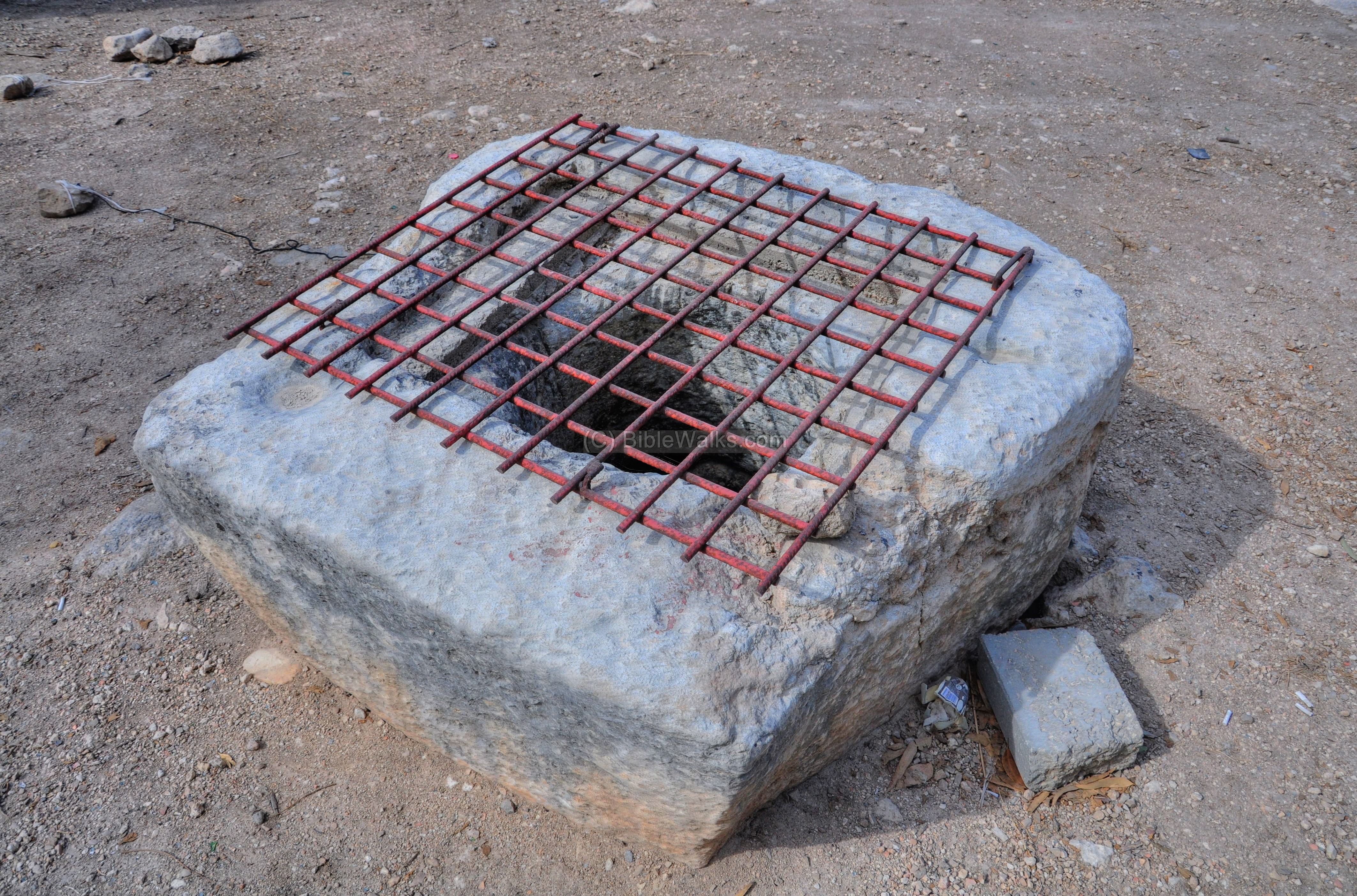
A closer view of the well in front of the building:
This small Ottoman-period stronghold is located on the west side of a larger ancient site – Hurvat Harsis – which is now mostly covered by the forest. Its Arabic name is based on the Hebrew word “Heres”, or clay ( and also refering to “sun”). The Biblical site is identified as Har-Heres, which is described in reference to the tribe of Dan who were forced to live in these mountains due to the Amorites (Judges 1 34-35): “And the Amorites forced the children of Dan into the mountain: for they would not suffer them to come down to the valley: But the Amorites would dwell in mount Heres in Aijalon”. The valley is called Ayalon (Aijalon), which lies to the north-west.
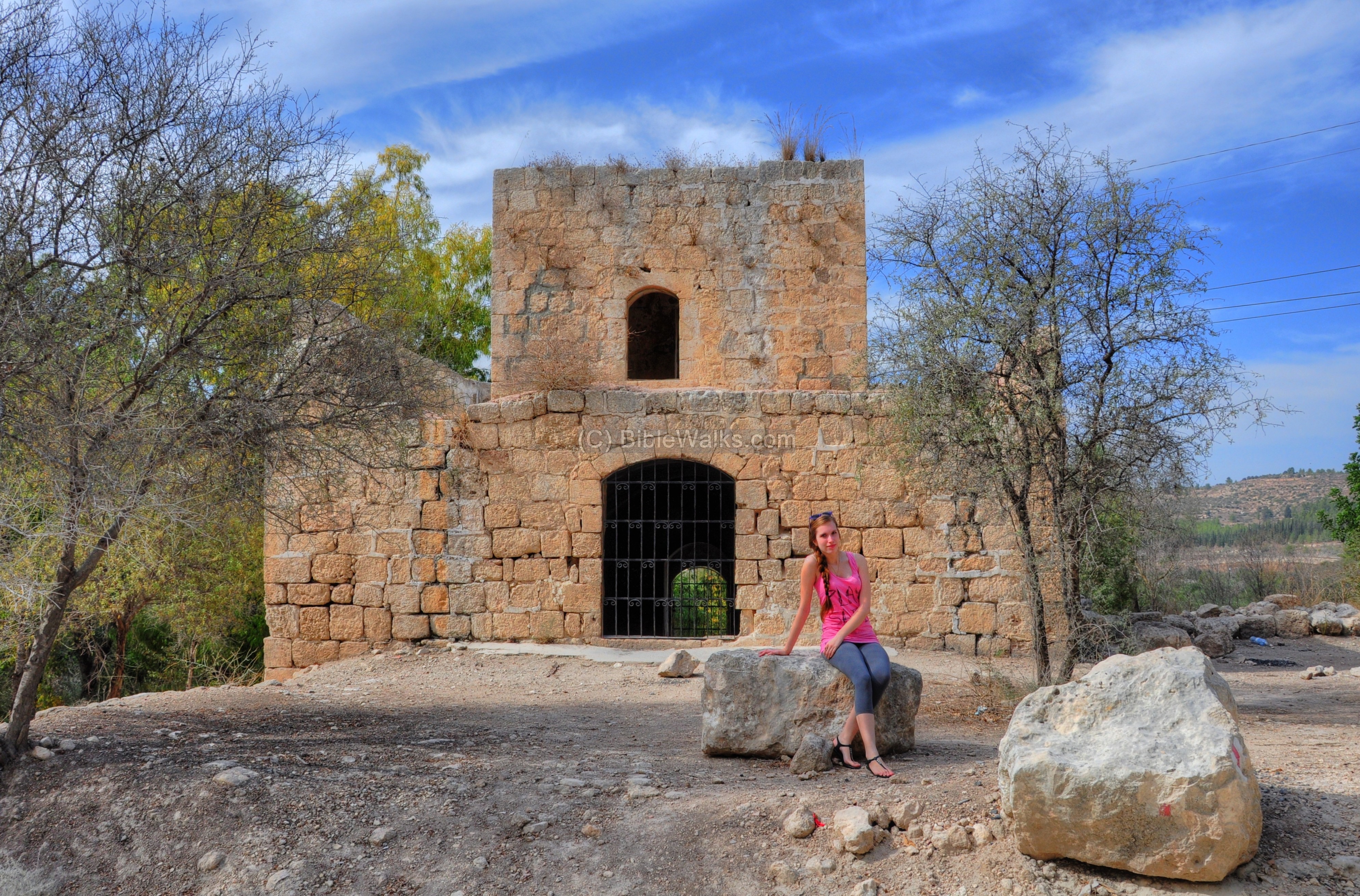
A view from the front door:
The rear side of the Ottoman structure:
A detail on the side of the door is seen in the next picture. The embedded stone was used to fasten a tie ring for tying a horse.
Biblical:
Luke 24: 13-15 (King James version)
This text tells about the meeting between Jesus, after his resurrection, and the two companions, on the road to Emmaus.
“And, behold, two of them went that same day to a village called Emmaus, which was from Jerusalem about threescore furlongs. And they talked together of all these things which had happened. And it came to pass, that, while they communed together and reasoned, Jesus himself drew near, and went with them…”
Etymology:
Bab el-Wad – Arabic: The gate to the valley. Hebrew: Sha’ar Ha’Gai.
Ilan – Hebrew: tree, plant.
Neve Ilan – Hebrew: Oasis of Ilan. The settlement started as a Kibbutz (1946) and then reorganized as a Mushav-Shitofi (1971).
Links:
* Archaeology:
- Deir Ayub (East) – area north of Nahal Ilan
* Milestones:
- The Near East under Roman Rule – Selected papers – Benjamin Isaac (pp48-74) – great review
* Other
- Map of Neve Ilan forest (pdf; Hebrew)
- Neve Ilan website
* Internal
BibleWalks.com – All the Holy Roads lead to Jerusalem
Nebi Samuel – Ottoman <<<—previous site–<<< All Sites >>>—next Judea site—>>> Horvat Hanut
This page was last updated on Mar 13, 2023 (add Neve Ilan)
Sponsored links: