Ruins of Bronze and Iron age fortified city, located on a steep hill at the junction of Misgav.
Home > Sites > Hilazon > Horvat Gamum
Contents:
Background
Location
History
Photos
* Aerial Views
* General view
* South
* Foothills
* Top
* East
Etymology
Links
Background:
Ruins of Bronze and Iron age fortified city, located on a steep hill at the junction of Misgav.
On top of the hill are traces of ruins spread over a round area with a diameter of (roughly) 70M, arranged in 2-3 levels. There are traces of walls around the circumference. The stones found in the site are made of medium size un-hewn (rough, natural) rocks, typical of the Bronze/Iron age sites.
Inside the enclosed area are bases of houses. Fragments of crude pottery are located in the ruins. Several cisterns are located between the houses, which used to supply water.
Location:
The site is located north to the road (#805), at the junction of Misgav. The height at the top is 320M, 40-80M higher than its sides. The best access is from the south slope, a climb of about 40M.
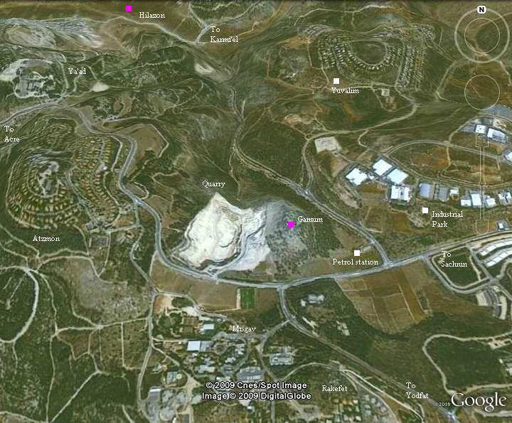
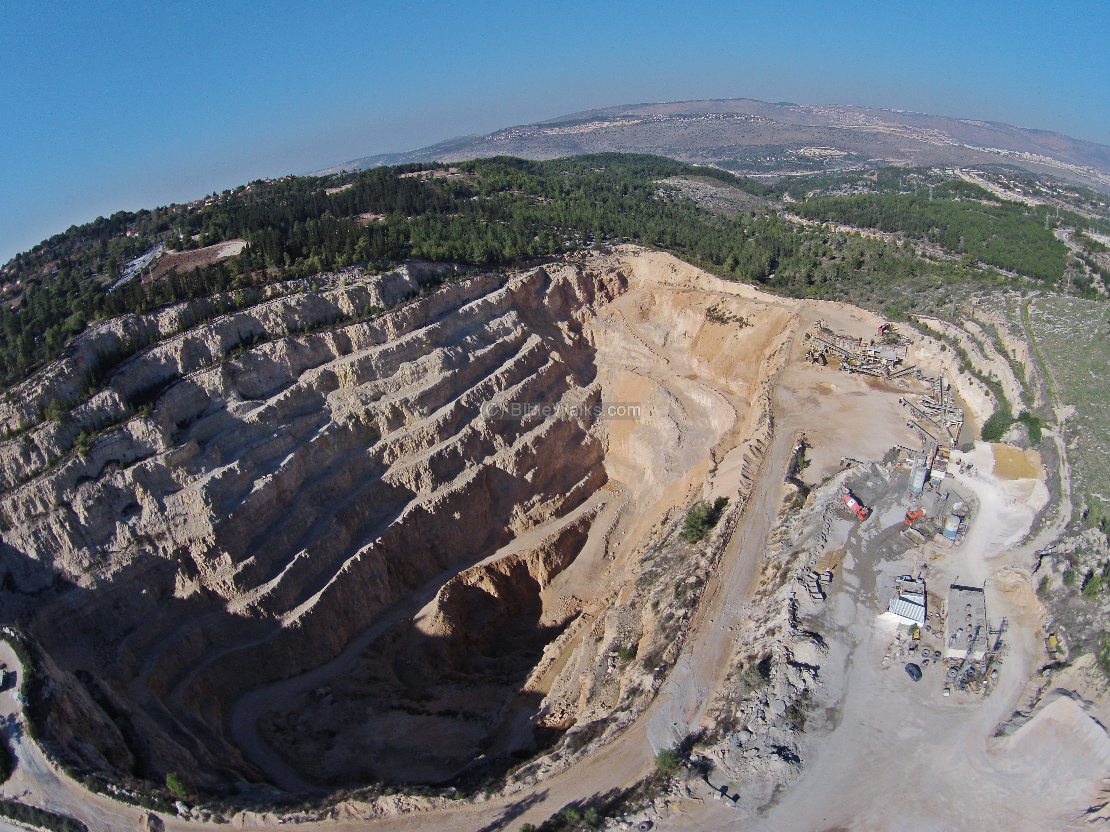
An aerial map of the area around the site is seen below. The stone quarry is the bright white area on the west side of Gamum.
History of the place:
Bronze/Iron age in the area:
The Hilazon (Chilazon- “snail”) creek was an ancient route from Acre to the east, one of the branches of Via Maris (the Biblical “way of the sea”). A number of Bronze/Iron age sites were established along this route (including Ne’iel and Fachir inside the valley, and Rosh Zayit and others around the valley).
In the wide valley of Sachnin (Siknin, Sikhnin, Suginin, Sagani), on the eastern side of the Hilazon creek, was the Canaanite city of Sachnin. It was mentioned as “Sachan” in the list of cities that were conquered in 1468 BC by Egyptian Pharaoh Thutmose III. Their residents produced leather goods and used the purple dye extracted from the snail, which may have been the source of the name of the Hilazon creek. Later, the Israelites conquered the Canaanite cities and resettled them during the Iron age.
The site:
Gamum was one of the towns south of the Hilazon creek. The ancient route climbed up the mountain from Ne’iel, Rosh-Zayit, then to nearby Sachan, and further down east to the Sea of Galilee. Another route came from Kabul on the south-west. This mountain route may have been used more frequently in the winter when the Hilazon creek was muddy.
Ruins of Gamum are located on a steep hill located just above the ancient mountain route, on its north side. It is easily protected, and the walls around the hill side made it a strong fortress. As most of the highland Bronze/Iron age cities, their population was “essentially small, well developed strongholds with very small populations” [“Galilee through the centuries” p.5-6]. However, these cities controlled several farming villages around them. The Biblical description calls them “…with her suburbs”, meaning the villages under their control. “Most of the population lived in unfortified villages, while only the elite lived within the walls of the political and economical center.”
The Israelite sites were probably destroyed by the Assyrians in the 8th century BC (734-732), after the intrusion Tiglath-Pileser III (Kings II 15: 29). This intrusion wiped out most of the Galilean sites, as written in the Bible. The ruins may have been resettled partially after the return of the exiles during the 5th until the 3rd century BC (Hellenistic period), and were abandoned since then.
Modern period:
The site is in ruins and not yet excavated. A stone quarry is located on its west side, which sadly chopped away a section of its foothills.
Modern settlements were established in its vicinity –
- Yuvalim (1.5 KM to the north-east), established 1982
- Rakefet (1 KM to the south), established 1981
- Ya’ad (2 KM to the north-west), established 1974
- Atzmon/Segev (1 KM to the west), established 1975
The nearby Regional council Misgav (500M to the south-west), was established in 1982. It is interesting to see that both sites, Gamum and Misgav, functioned as administrative centers (the former in the Bronze/Iron age, the latter in the modern period) and are located side by side. After all, history repeats itself.
Photos:
(a) Aerial views:
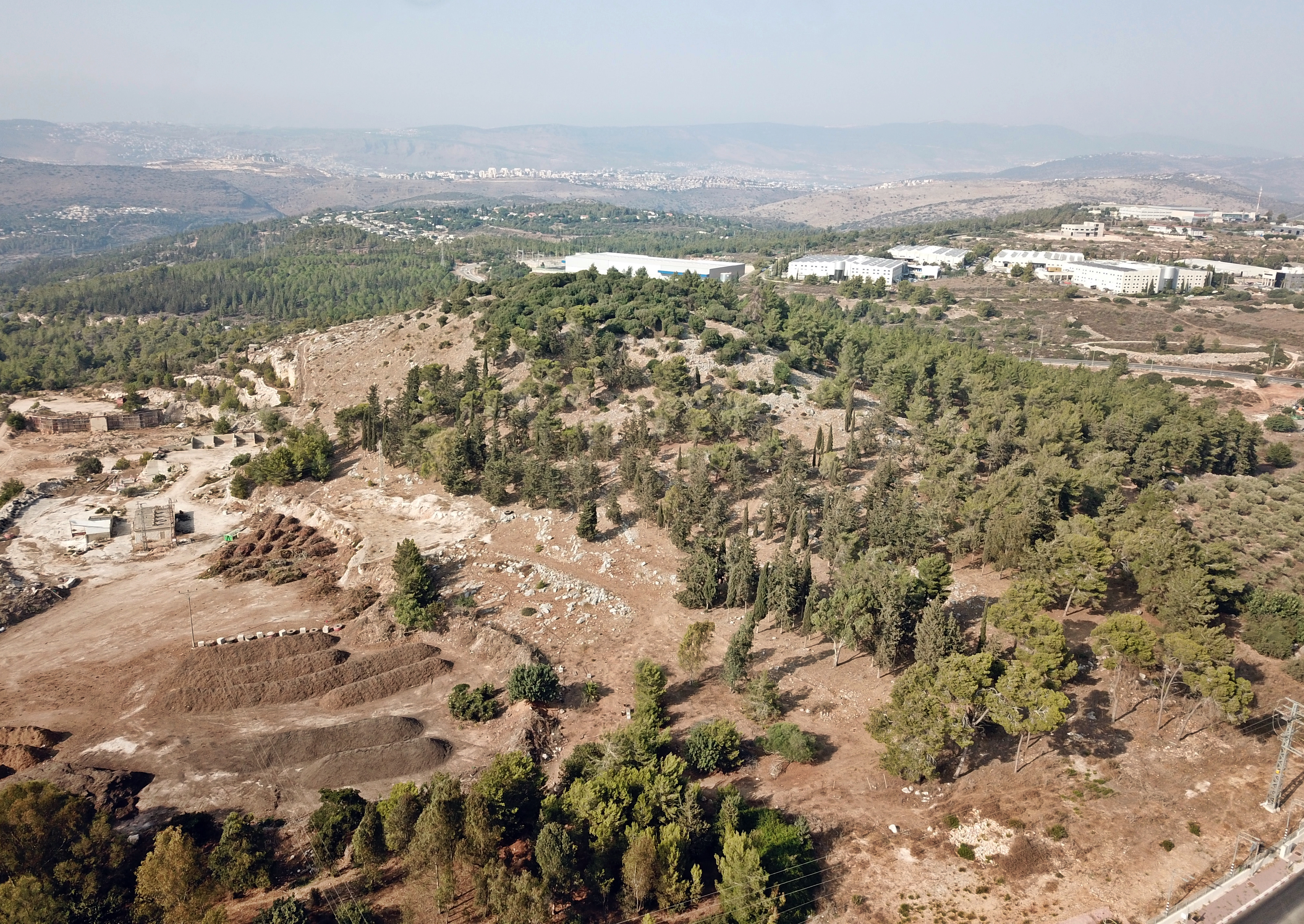
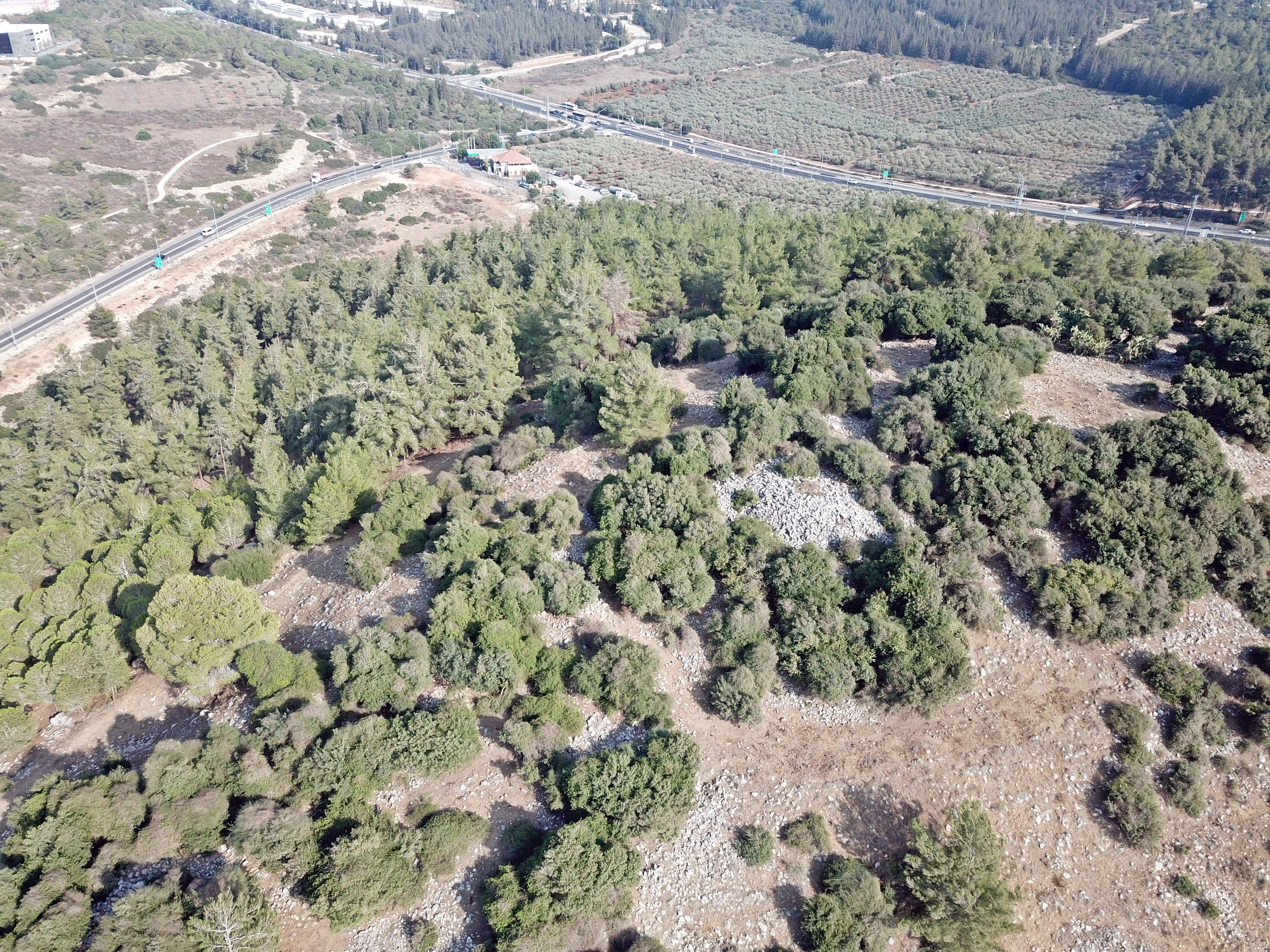
A drone view shows the hill of Horvat Gamum from the south west side. This steep hill towers around all sides, and therefore was selected to be the place of a Biblical city. The edge of the western foothills, seen on the left side, were cut and flattened by a large quarry.
The valley of Hilazon creek is on the far background. Closer, on the middle background, are residential houses of the community of Yuvalim. In the right background, with long white structures, is an Industrial park.
Click on the photos to view in higher resolution…
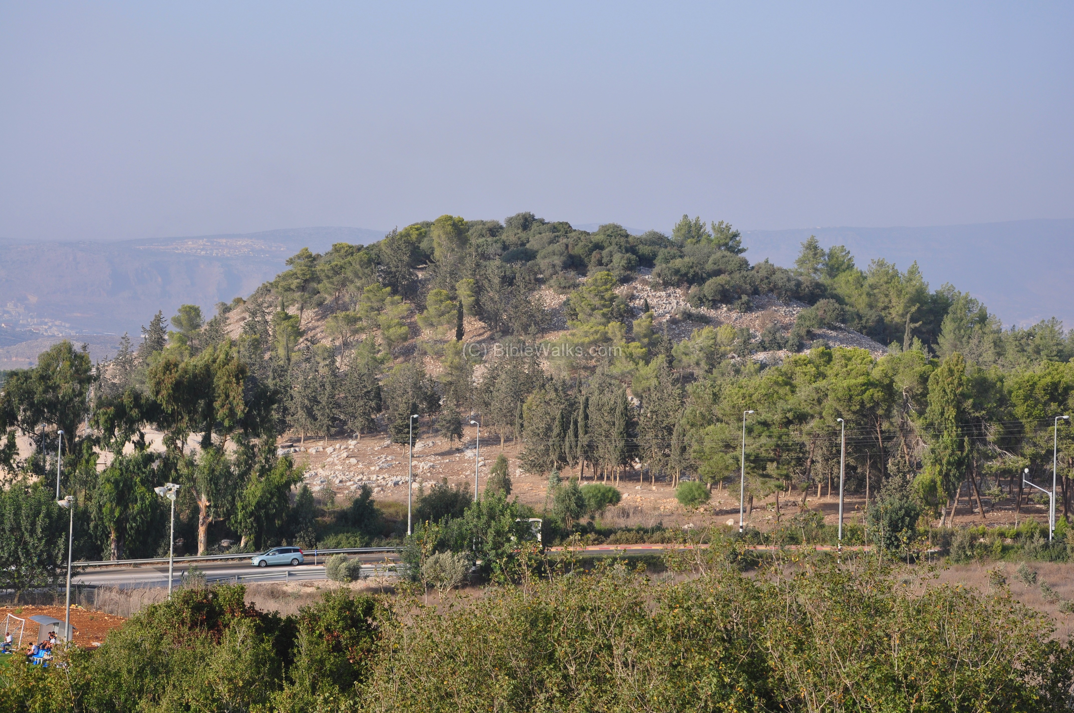
A closer view of the summit from the south is in the following photo.
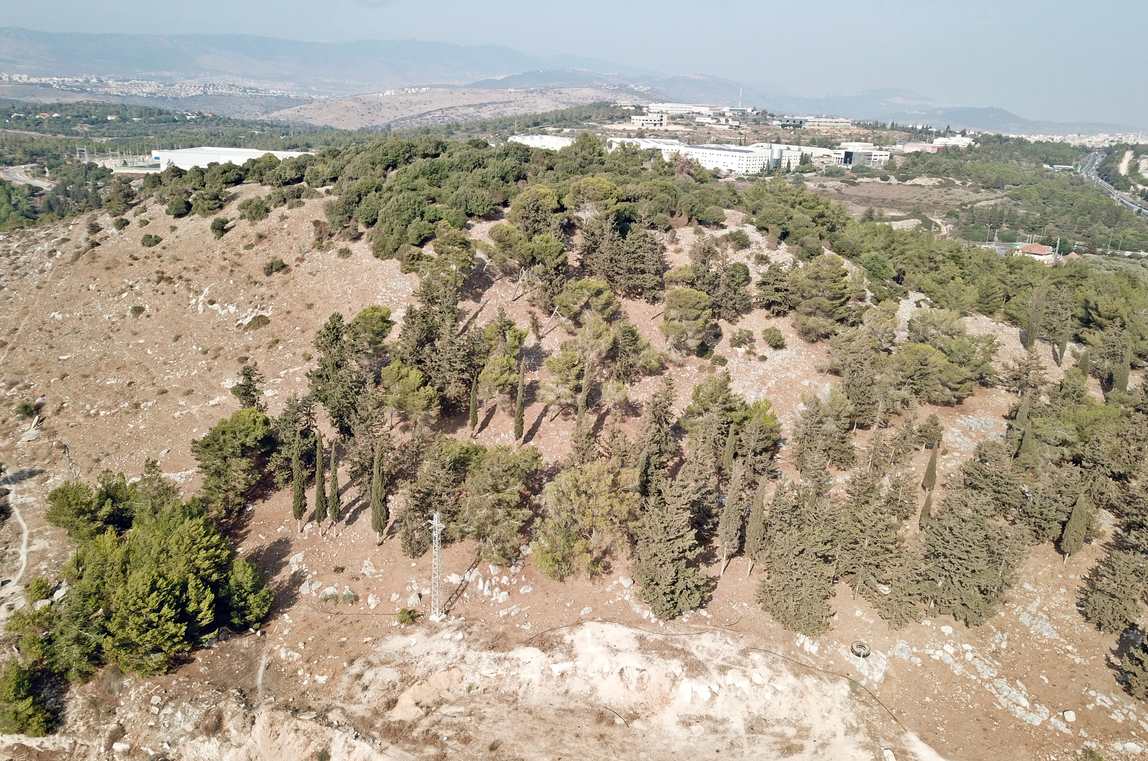
Another close view from the north is in the next aerial view:
Active mining is conducted on its west side, cutting off its western foothills. The “Segev” quarry is quite large and deep. The local factory produces gravel, cement blocks, and quicklime. It is operated since 1935 by “Readymix” (Even ve-sid). The national Quarries rehabilitation fund (QRF) is operating a rehabilitation project, returning the quarry’s bright scars back to green, by creating terraces and planting trees along them.
![]() A flight over the site can be seen in the following YouTube:
A flight over the site can be seen in the following YouTube:
(b) Ground views:
A ground level view of the site is seen from the west side.
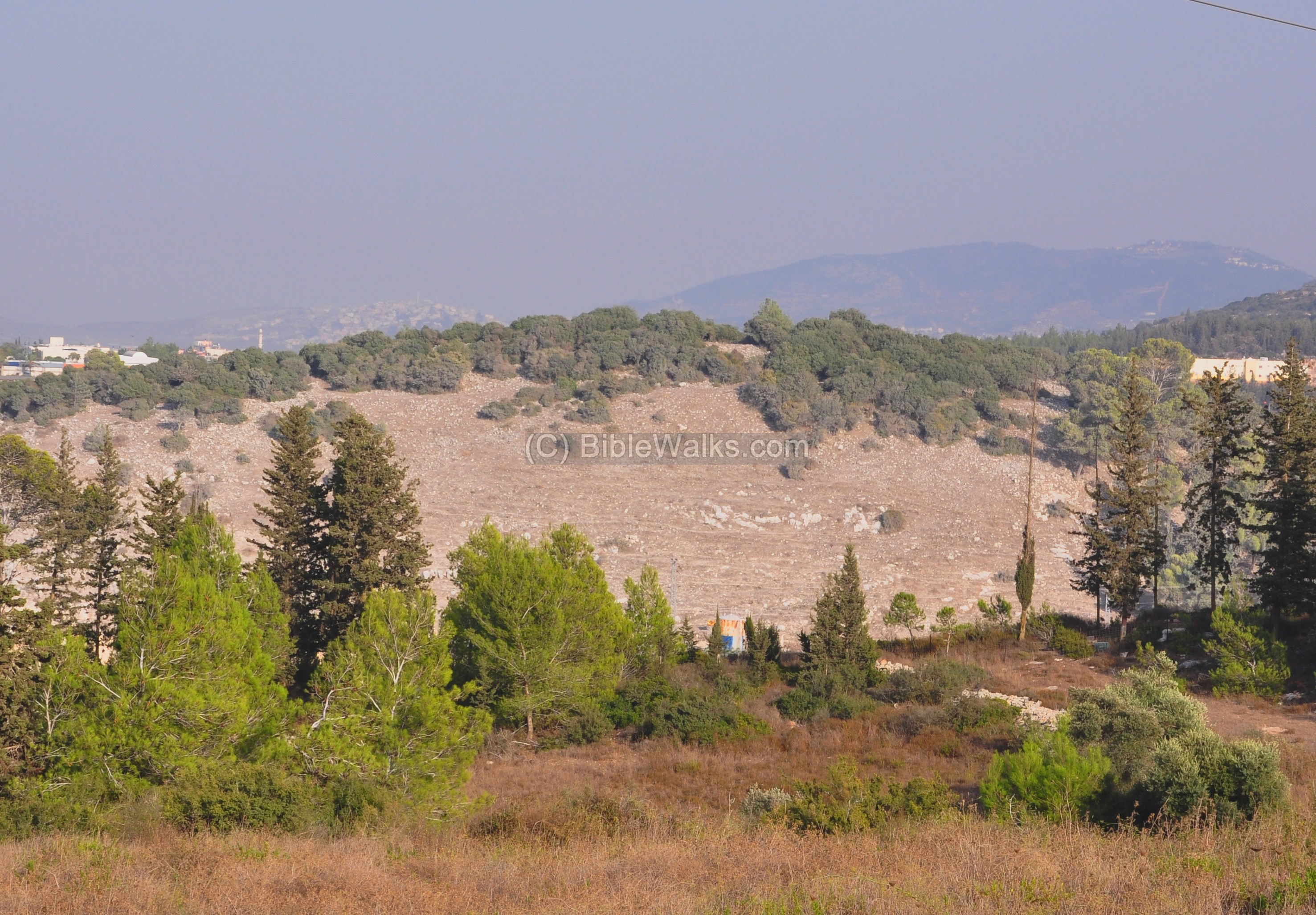
A more impressive view is seen from the regional council of Misgav, south of the site. You may notice the ruins on the upper quarter of the round hill, scattered between the bush. The ancient route passed at the same way as the modern road – from left (west0 to right (east).
(c) South side:
The south side of the hill, closest to the junction, is seen below. The ancient route passed exactly at this point, from left (west from Acre) to east (to Sachan and Sea of Galilee). Few pine and cypress trees form a small forest. A section of a winepress can be seen on the west side, closer to the quarry.
On these foothills some large rocks decorate the hillside, as seen below.
(d) South foothills:
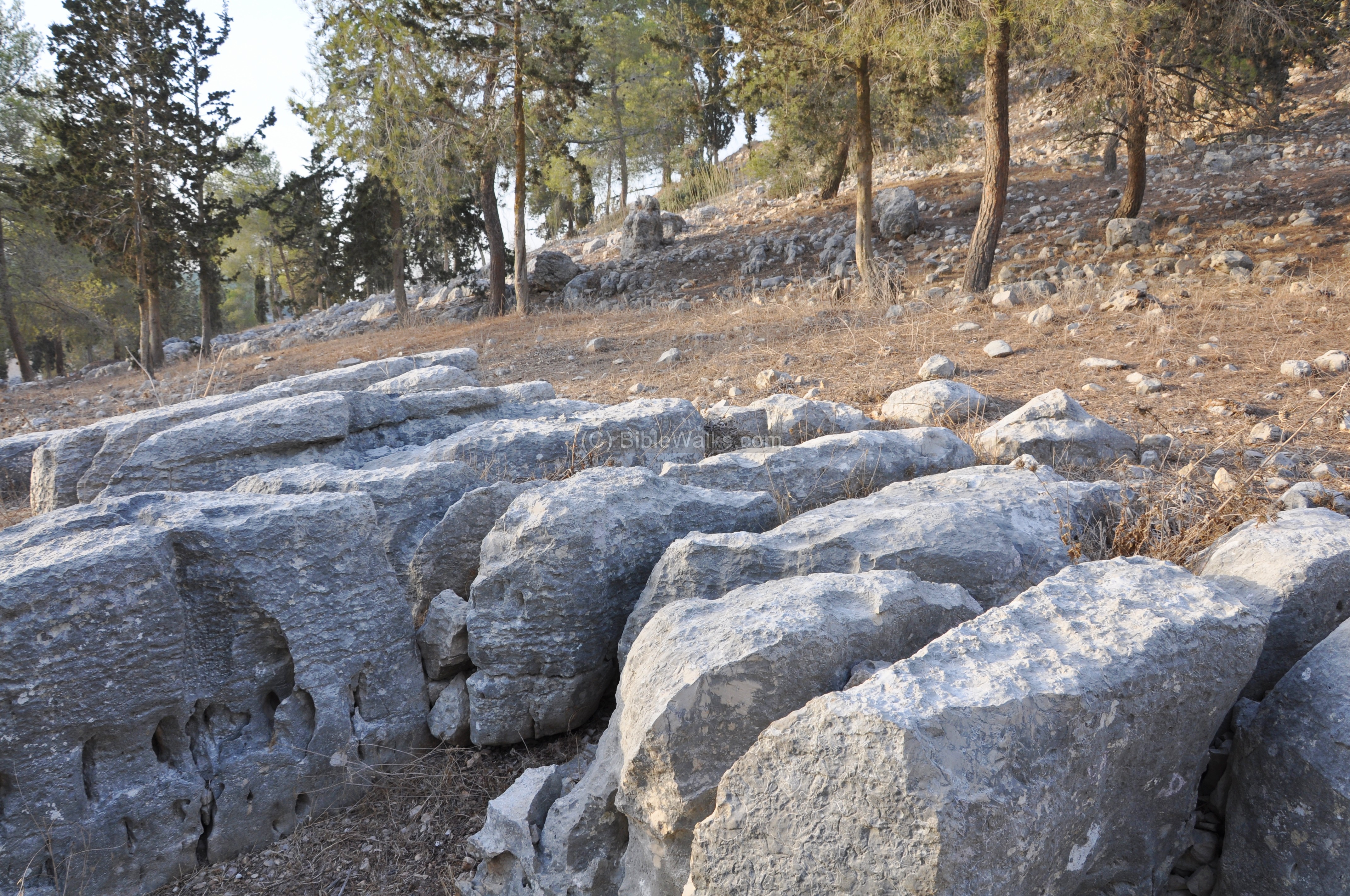
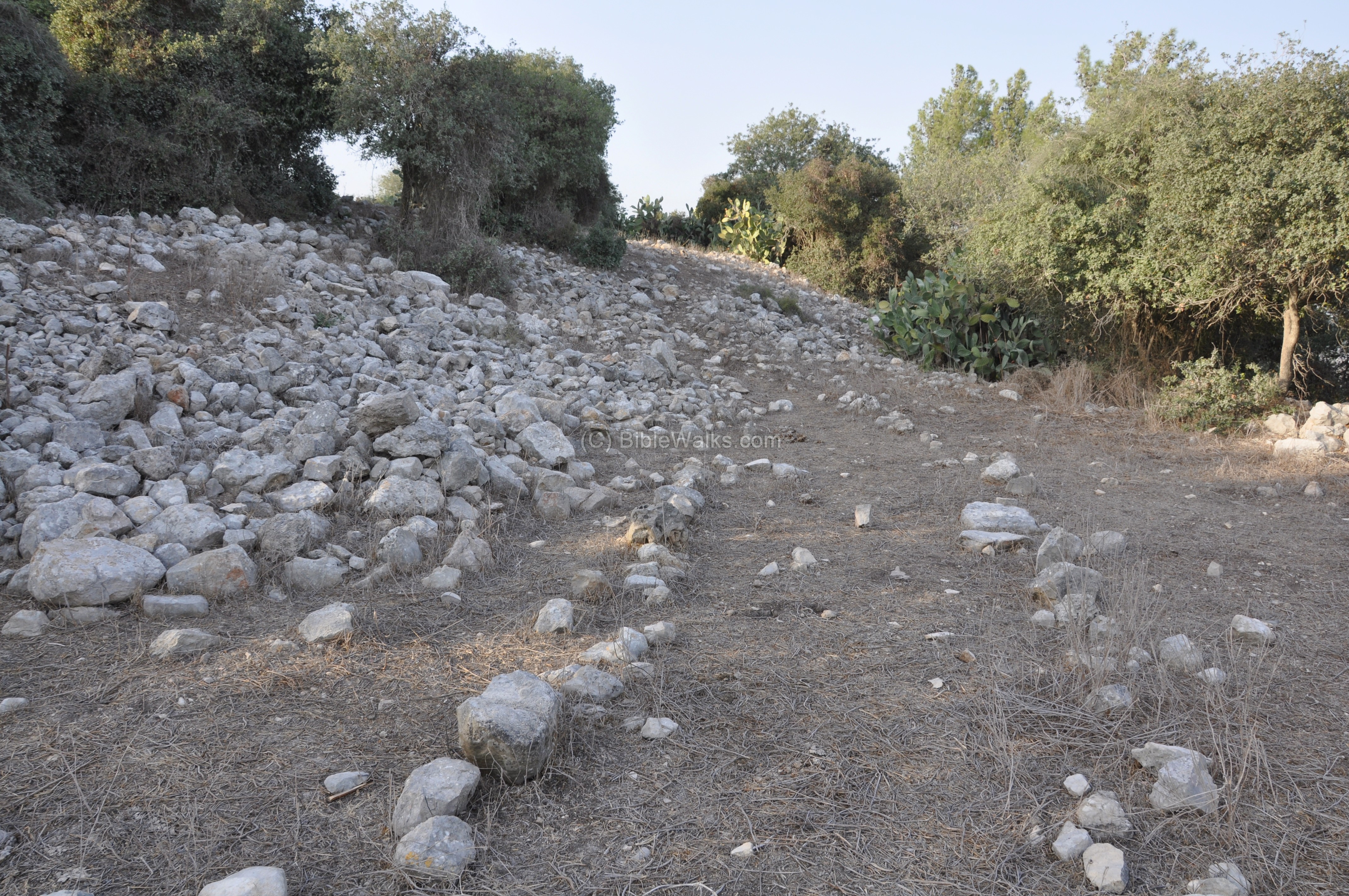
The south side is the easiest way up. The photo below shows the walls of the city just behind the trees. A trail leads up to the top.
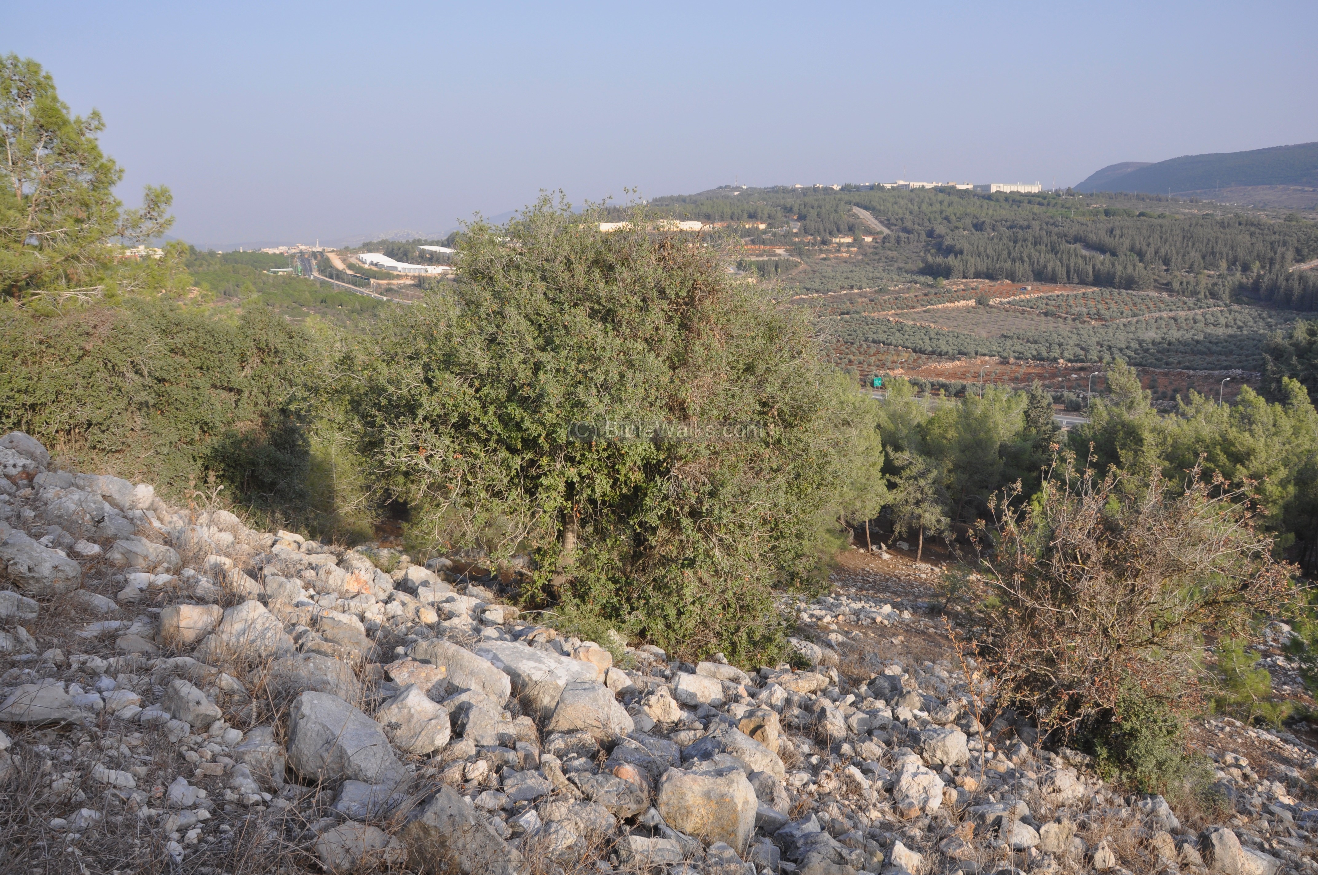
A view of the south-west foothills is seen below. A section of the wall is seen in the bottom of the photo. In the background is the regional council of Misgav and the settlement of Rakefet.
Another view of the walls on the south side is seen below. In the left side of the background is the Arab city of Sachnin, once the Bronze/Iron age city of Sachan.
Yet another view of the south walls is seen below.
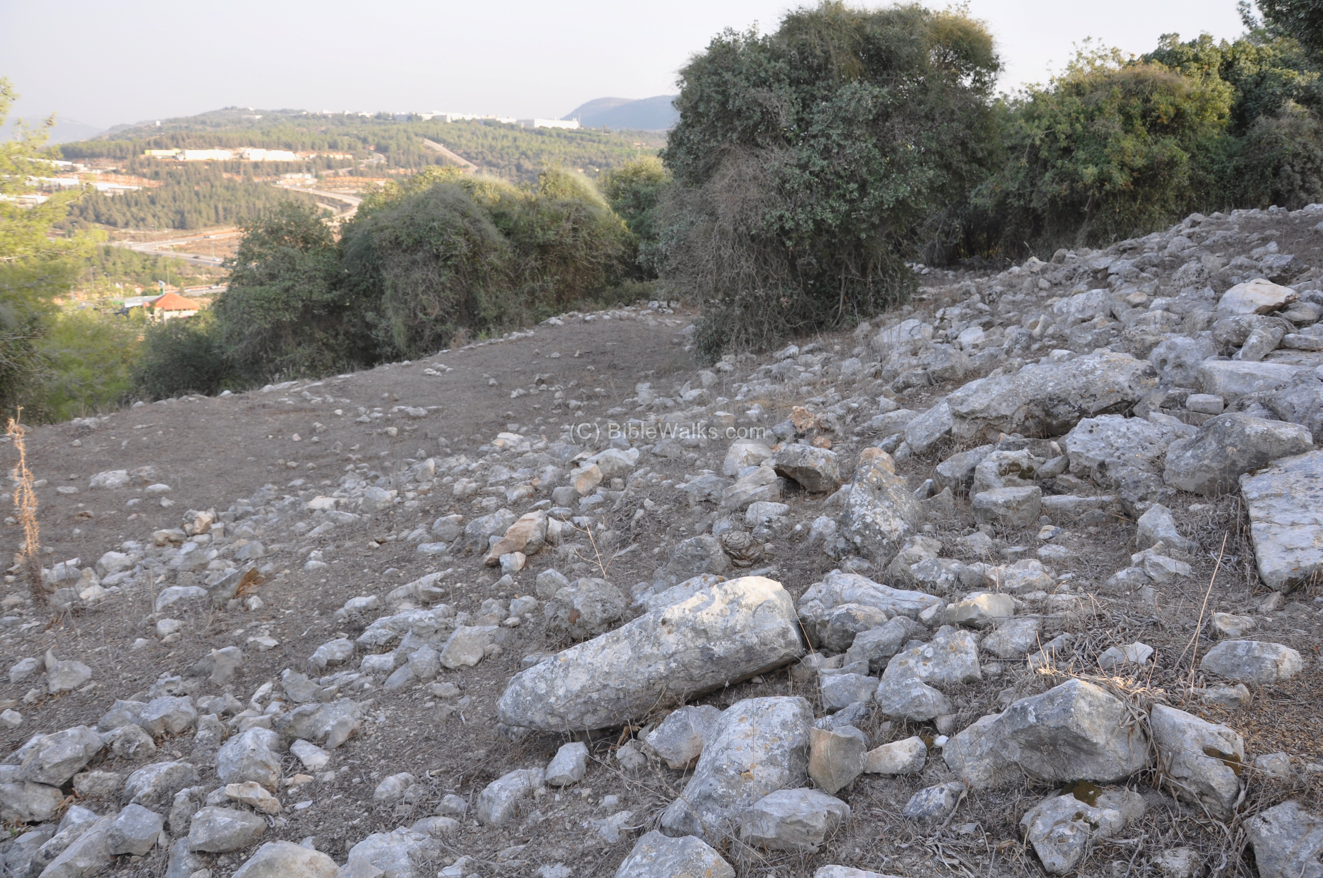
(e) Top of the hill:
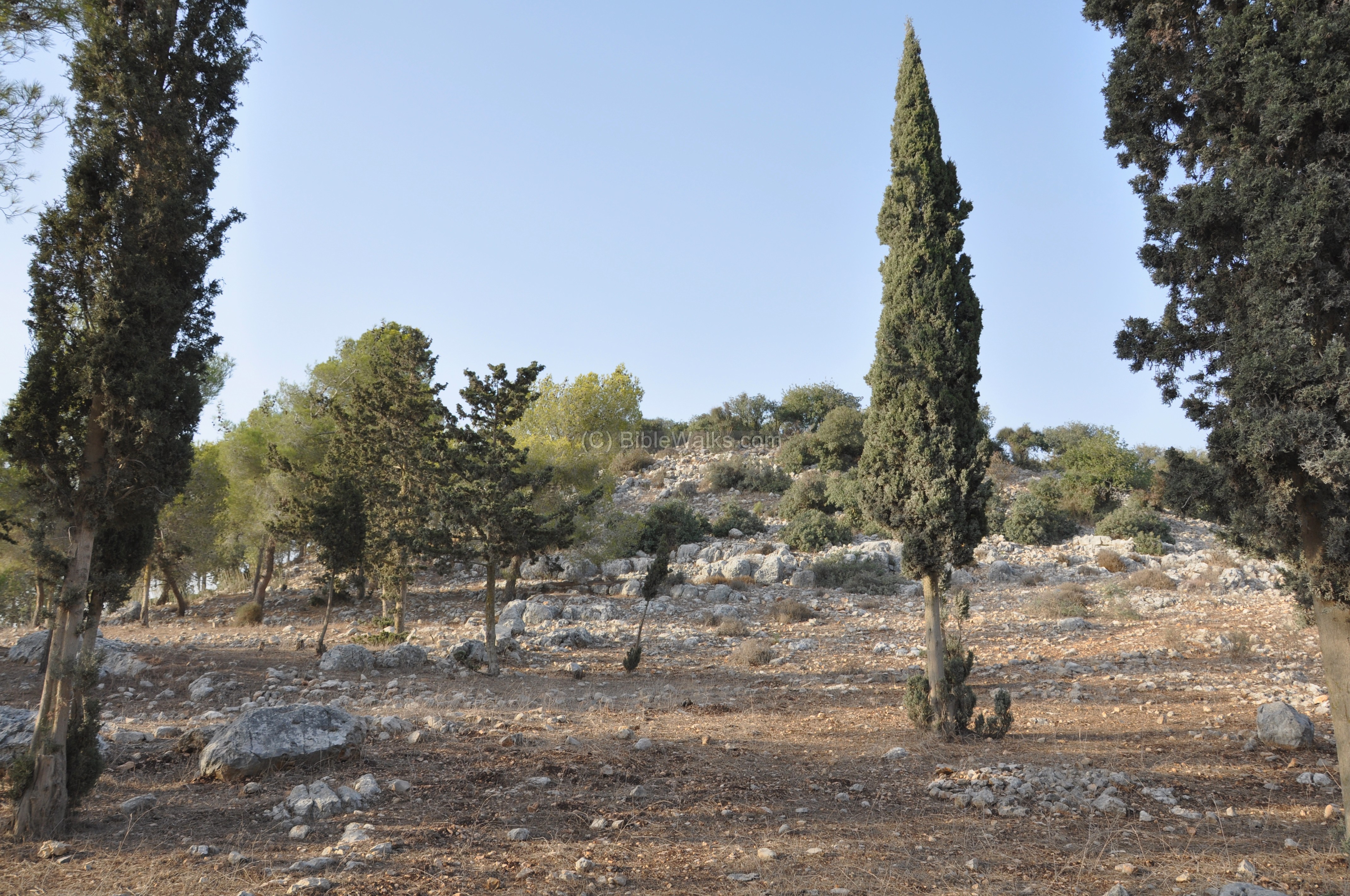
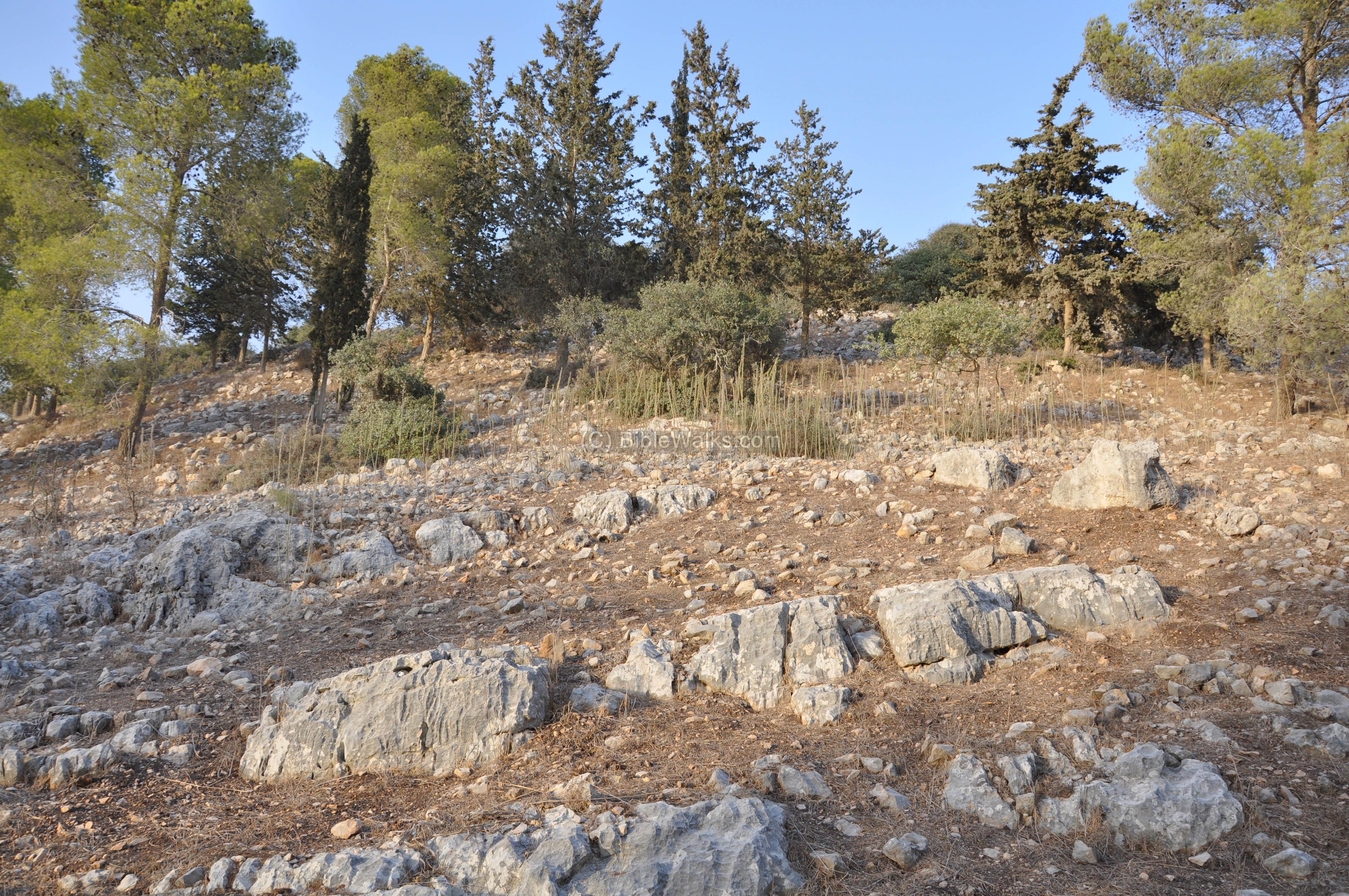
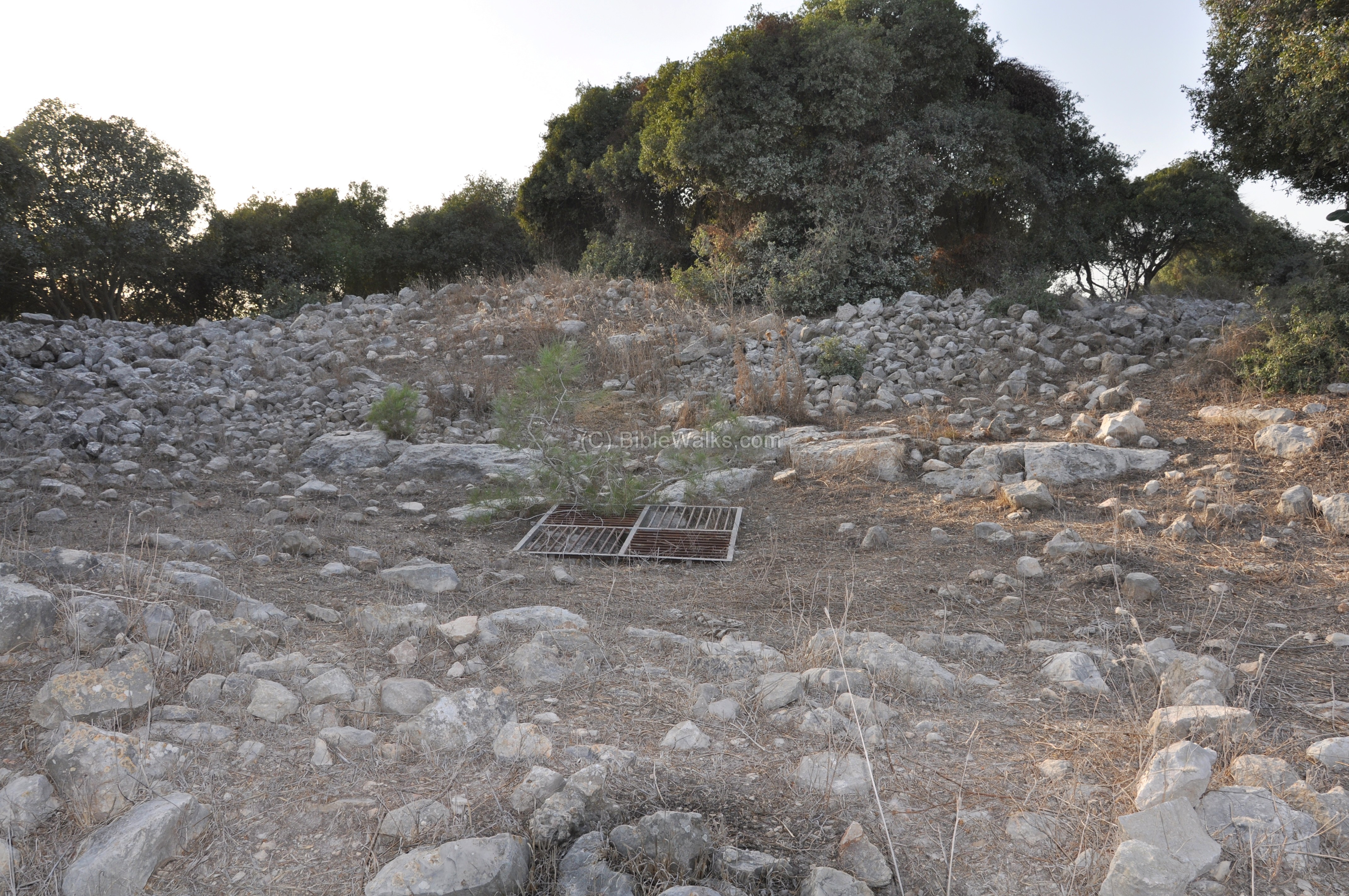
On top of the hill are traces of ruined houses and walls. The trail continues to the center of the hill.
Between the ruins are several deep cisterns. They collected the rain and provided drinking water for the residents of the city.
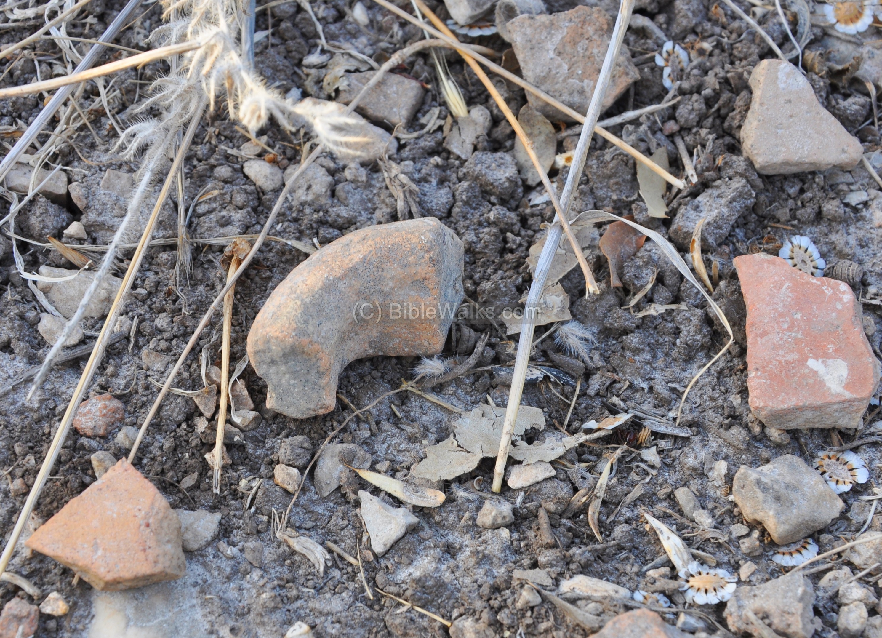
Fragments of pottery are seen between the ruins.
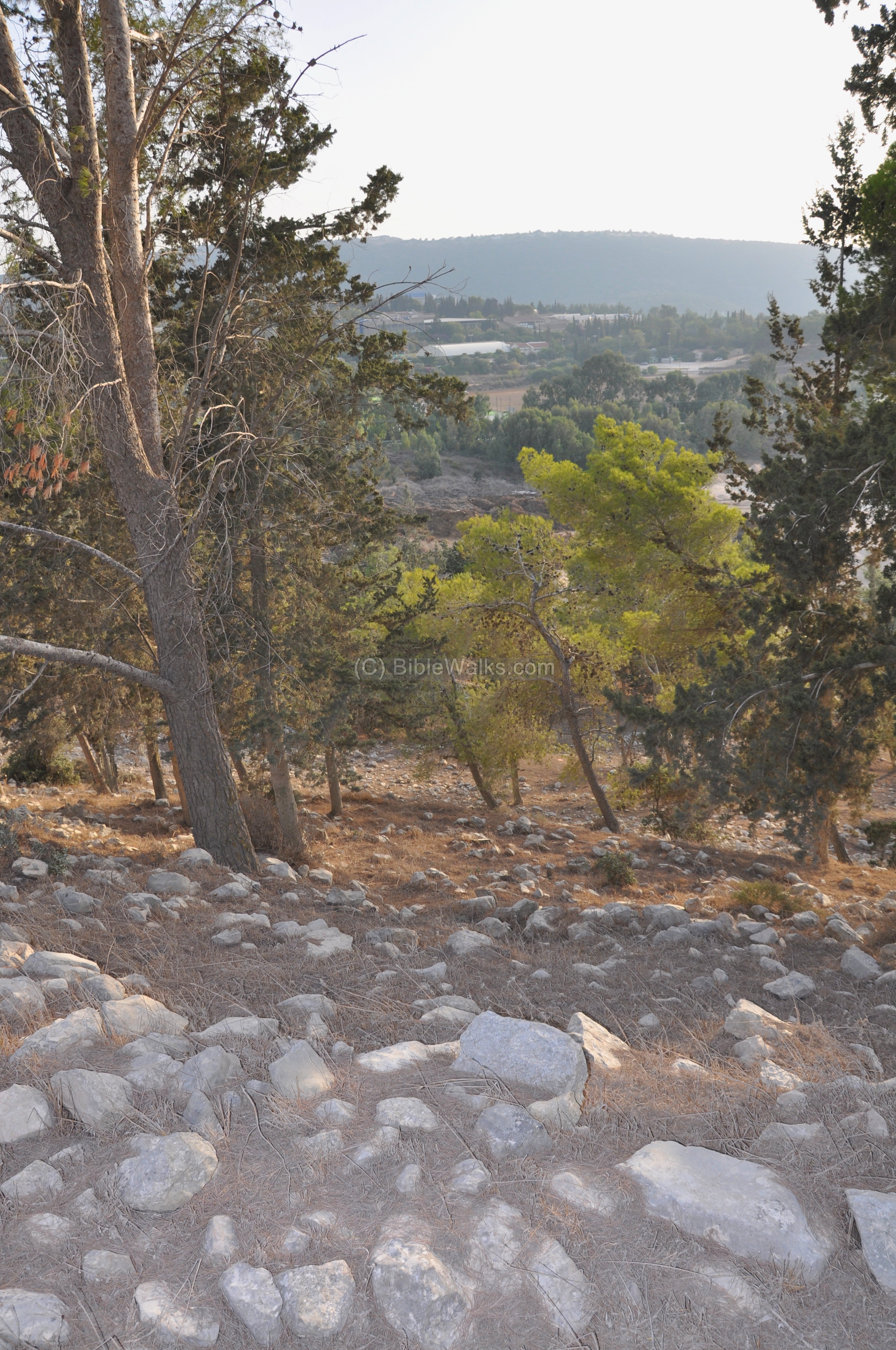
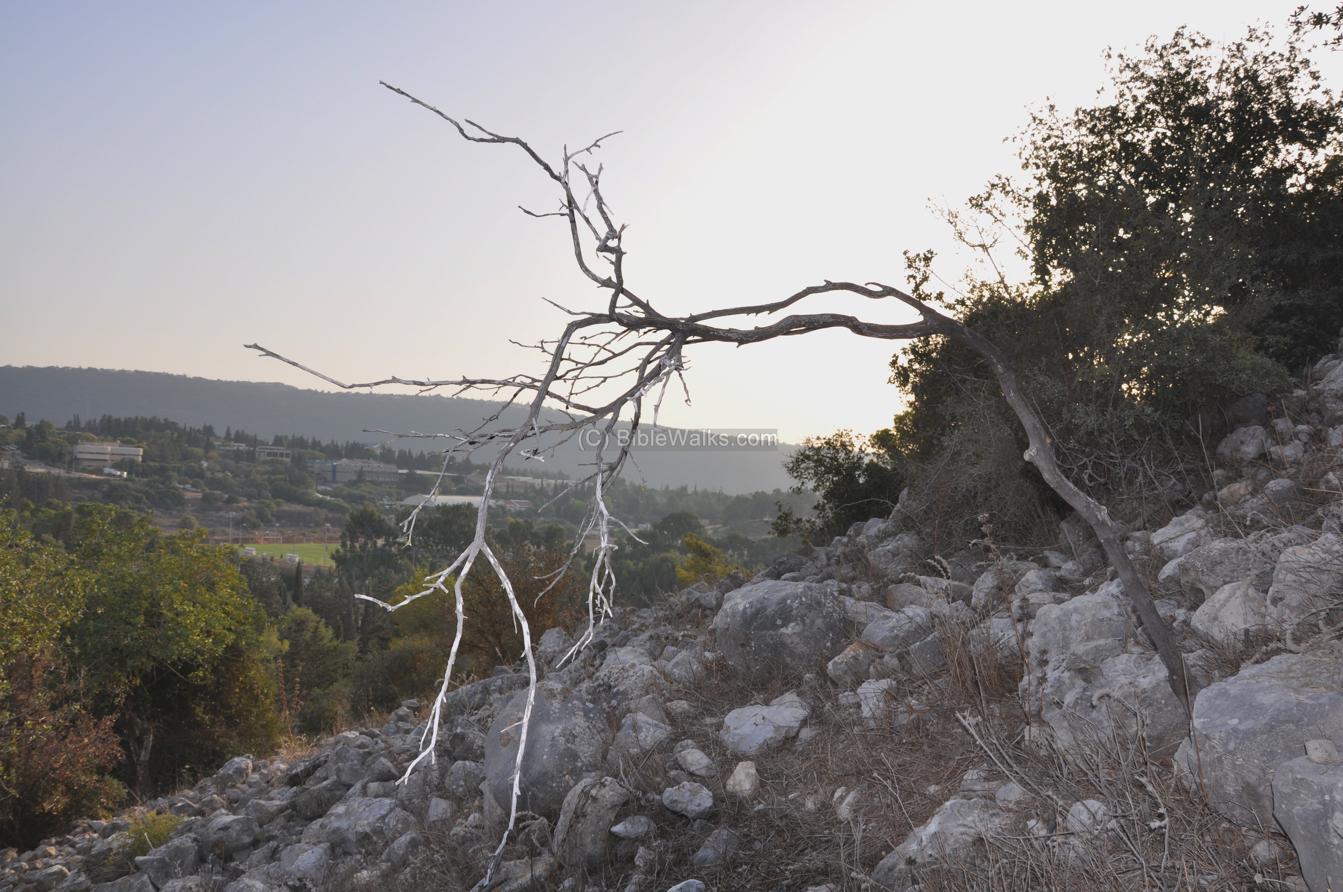
(f) Eastern side of the hill:
A view of the eastern foothills is seen below. In the background, 300M to the east, is the industrial zone of Misgav, “Teradion”. It is named after the 2nd C martyr, Rabbi Hannaniah ben Teradion.
Etymology (behind the name):
- Khirbet Jumeijma – Arabic name of the site
- Khirbet (Arabic), Horvah (Hebrew) – ruins
- Gamum – The modern Hebrew name of the site; perhaps based on the Talmud work for “cut”, since the hill is cut by the quarry.
- Teradion – The name of the industrial park of Misgav, on the east side of Gamum. It is named after the 2nd C teacher, Rabbi Hananiah ben Teradion, who lived in Sachnin (Siknin). He is one of the ten Martyrs murdered by the Romans, after ignoring the ban on teaching the Bible.
Links:
* External:
- Misgav – the regional council (Hebrew, with English menu)
* Nearby sites of the same period:
* Other internal links:
- Drone Aerial views – collection of Biblical sites from the air
BibleWalks.com – touring the Bible places
Kh. Beza<<<–previous Hilazon site—<<<All Sites>>>
This page was last updated on Sep 5, 2022 (new aerial photos)
Sponsored links: