One of the prettiest cities in Israel, located in the heart of Beit-Kerem. During Byzantine period a center of many monasteries.
Home > Sites > Beit-Kerem > Karmi’el (Overview)
Contents:
Background
Location
History
Sites
Panoramic
Tour
Photos
Links
Etymology
Background:
Karmiel (“The vineyards of God”) is a city in the Galilee region of northern Israel, located in the Lower Galilee. It is one of the prettiest cities in Israel, located in the center of the Beit-Kerem valley, in the heart of the Galilee. It is situated about 20 kilometers east of the city of Acre and about 30 kilometers south of the city of Safed.
During Byzantine period this region was a center of a Christian population with a total of nine monasteries. The city was founded in 1964 as part of a government initiative to develop the Galilee region and attract Jewish immigrants to Israel. Today, the city has a diverse population of around 50,000 residents, including both Jewish and Arab citizens.
Karmiel is known for its beautiful natural surroundings, which include forests, hills, and valleys. The city is also home to several cultural institutions, including the Karmiel Dance Festival, which takes place every summer and is one of the largest dance festivals in Israel.
Karmiel is a hub for commerce and industry in the Galilee region, with many businesses and factories located in the city’s industrial zone. The city also has a vibrant shopping and entertainment scene, with many restaurants, cafes, and stores.
Location:
Karmiel is located in the heart of the valley of Beit-Kerem (“House of the grove/vineyard”), a region located between the West Galilee and the Upper Galilee. The city is spread among a number of hills on the south side of the valley at an average heights of 260-330M, higher than the center of the Beit-Kerem valley (Nahal Shagor creek, which is about 220M).
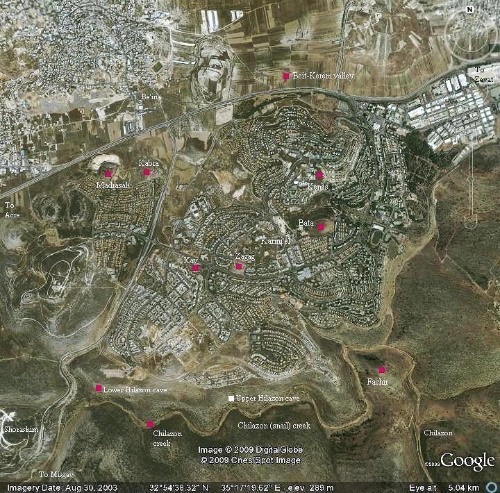
Several ancient sites are located in the municipal area of the city, as seen on the map below.
History:
Byzantine:
During the Byzantine period (5th-7th century) the area of western Galilee was mostly populated by Christians. The area within the municipal area of the city of Karmiel was the densest in this region – a total of nine (!) Byzantine monasteries were excavated here or identified as such.
Arab/Mamlukes period:
Most of the Byzantine sites were destroyed in the 7th century during the Persian or Arabic conquests. Some of the sites were resettled during the Arab, Crusader, Mamlukes and Ottoman periods. Today most of these sites are in ruins and only few of them were excavated and preserved.
Modern times:
Karmiel was established in 1964, declared a city in 1986, and has grew since then to a large and beautiful city with over 50,000 residents (2008). Adi Eldar is the energetic mayor since 1989.
The municipality of Karmi’el and its mayor takes special interest in the urban design, landscaping and gardening. In every corner of the city you can see how they care about the city. Karmi’el is one of the leading cities to preserve their ancient sites and incorporate them into the urban design and parks. It is also famous in its dance festival, a yearly event since 1988 and held for 3 days and nights during the month of July.
Symbol of the city – Anemone (Kalanit) flower
between the Galilee hills and the rising sun
The sites:
The following ancient sites are detailed in other BibleWalks pages (click on the site’s name to visit its web page):
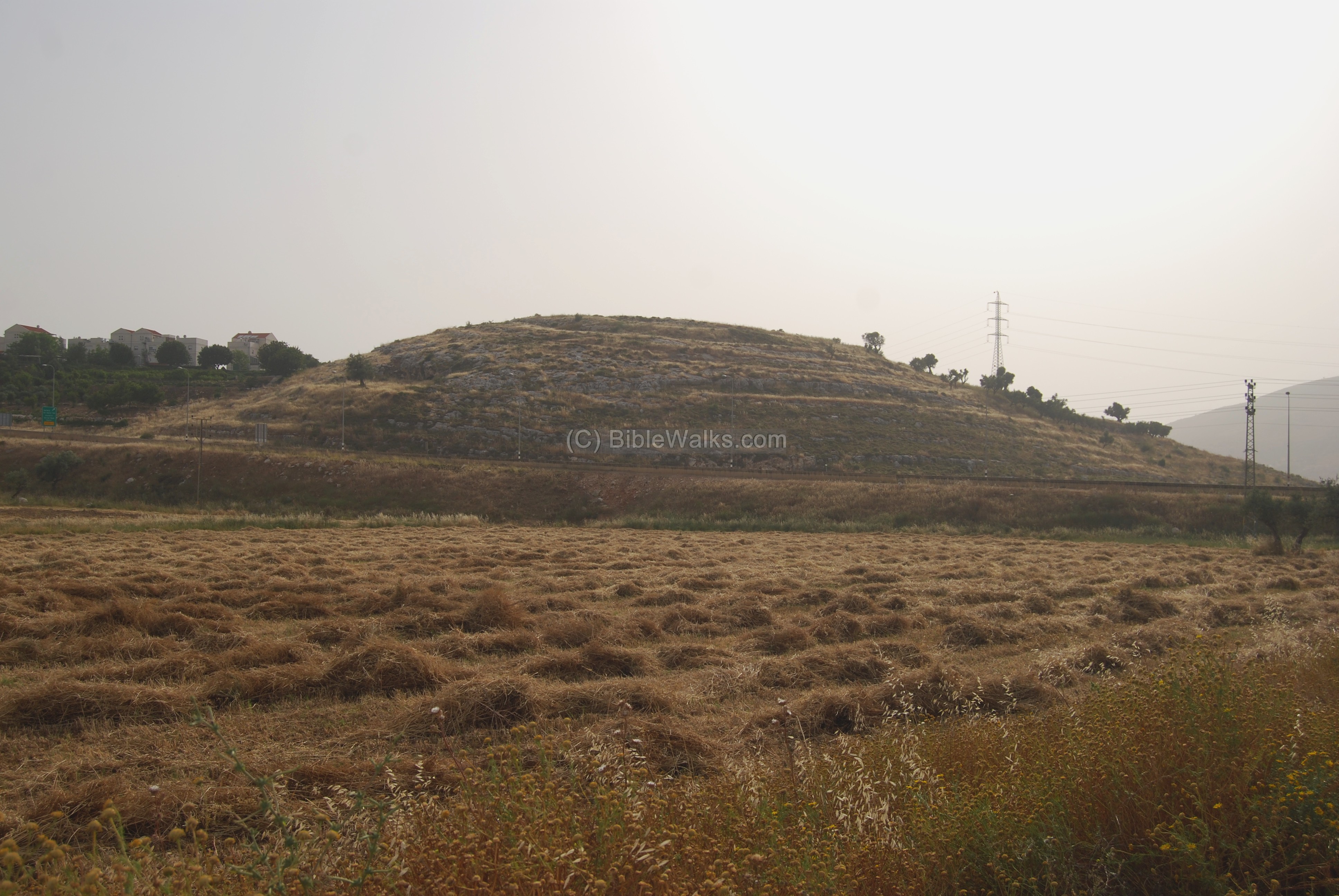
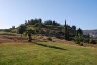
- Ruins located on a small hill on the north-west side of Karmi’el. This was probably one of the Byzantine monasteries in the area.
- North-West area
- Ruins of a Byzantine monastery located on a small hill on the north-west side of Karmi’el.
- North-west area
- Ruins of a Byzantine monastery, located in an archaeological park in the west side of Karmi’el.
- West area
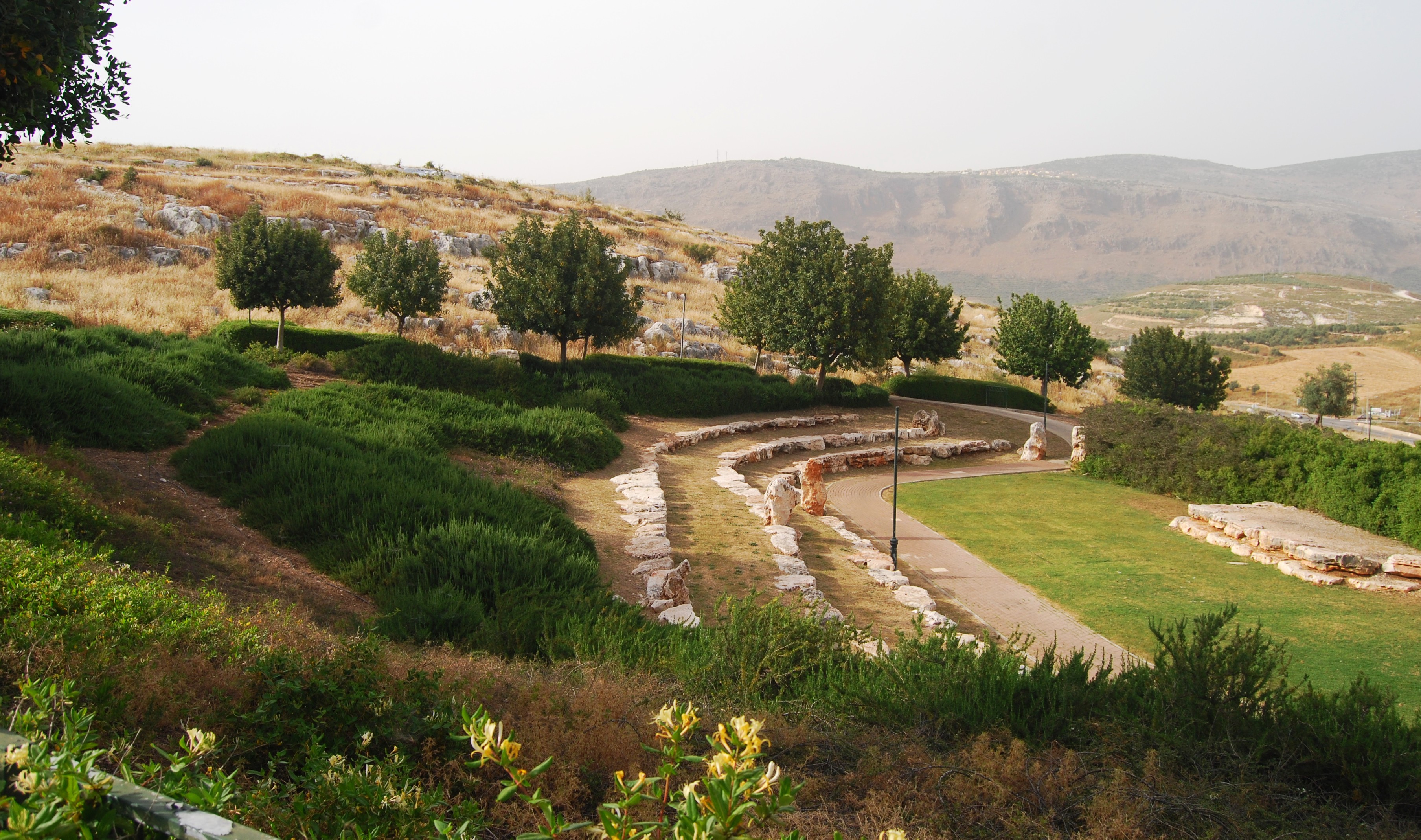
- Ruins of a small Byzantine monastery, located on a hill in the center of Karmi’el. Excavations unearthed rooms, oil press and chapel on top of the small hill.
- West area
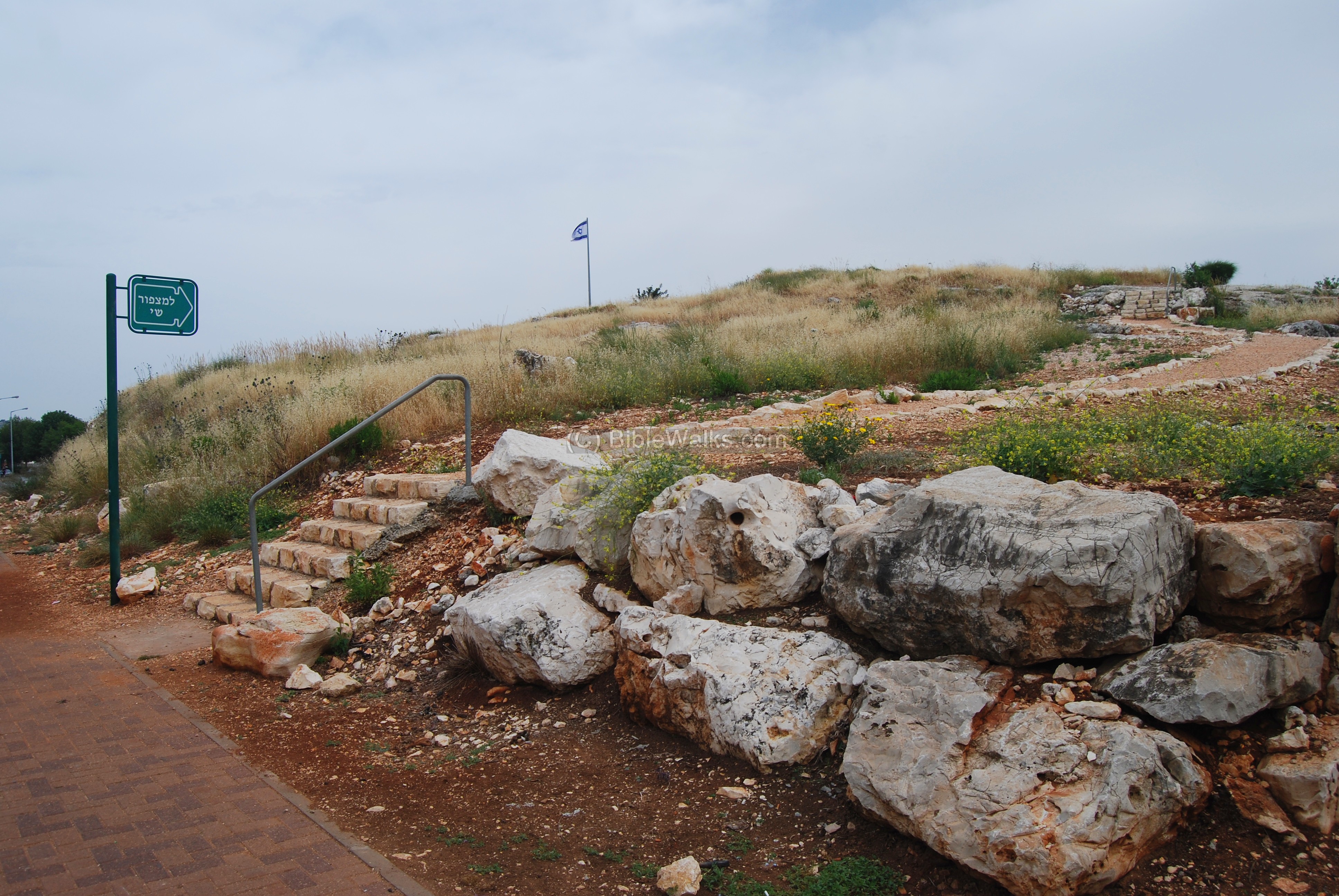
- A Byzantine fortified village located on a high hill on the east side of Karmi’el, with two churches. This was the most important site in the area.
- East area
Khirbet Kenes (Kanayis)
- A large church (25 x 50M) was excavated in Khirbet Kennes, north of Kh. Bata. It is covered today in the school yard of Megadim high school.
- North-East
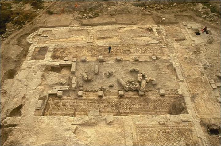
Photo courtesy of Dr. Motti Aviam
There are other sites around the city – please visit the Beit-Kerem Gallery.
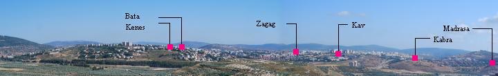
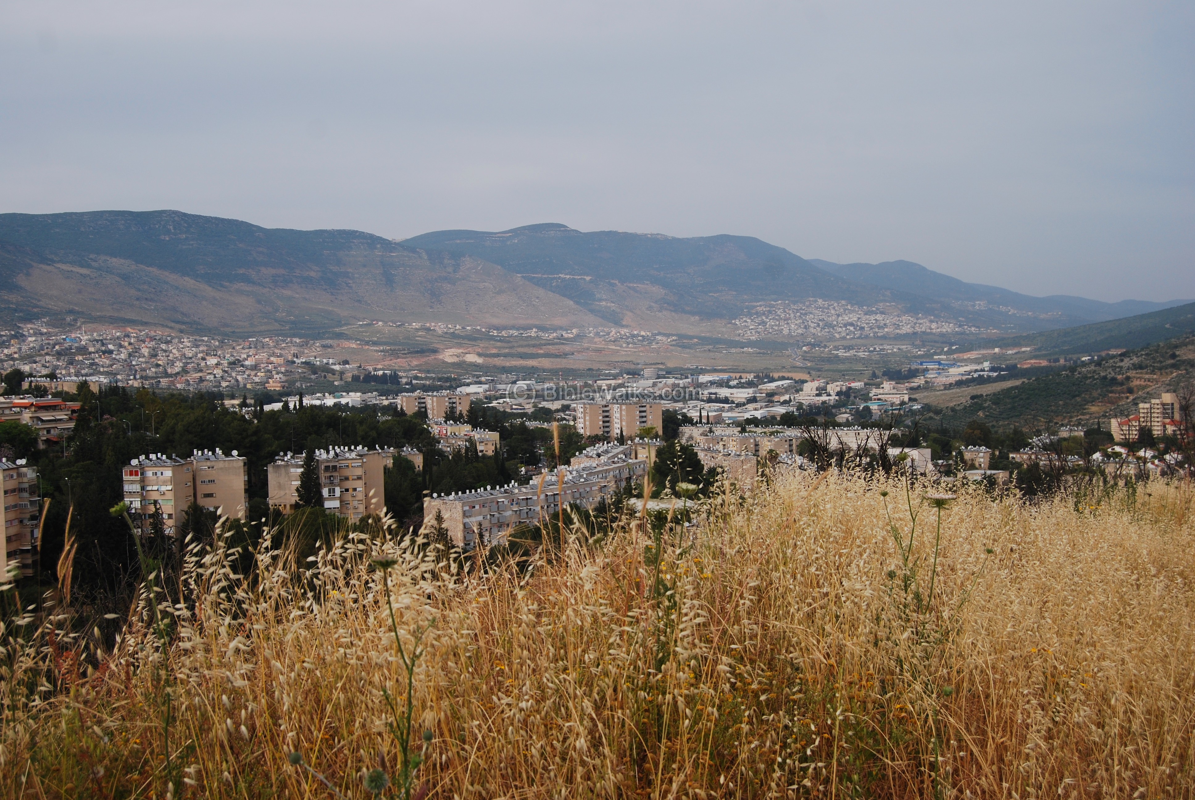
Panoramic view
A panoramic view of the city, as seen from the northern edge of Beit-Kerem, is shown below. The city spreads on a very large area in the heart of Beit-Kerem valley, more than 5KM from east (on the left side) to west (right side).

The sites featured in BibleWalks are indicated on this view:
Other Photos:
Touring the city:
Follow with your vehicle the tourist route using the “Kalanit trail” signs that cover the main sites of the city, and are posted along the streets of the city. The trail passes the ancient sites listed above, and other remarkable places in the city.
Some additional photos are shown below.
-
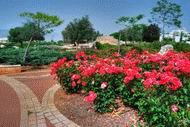
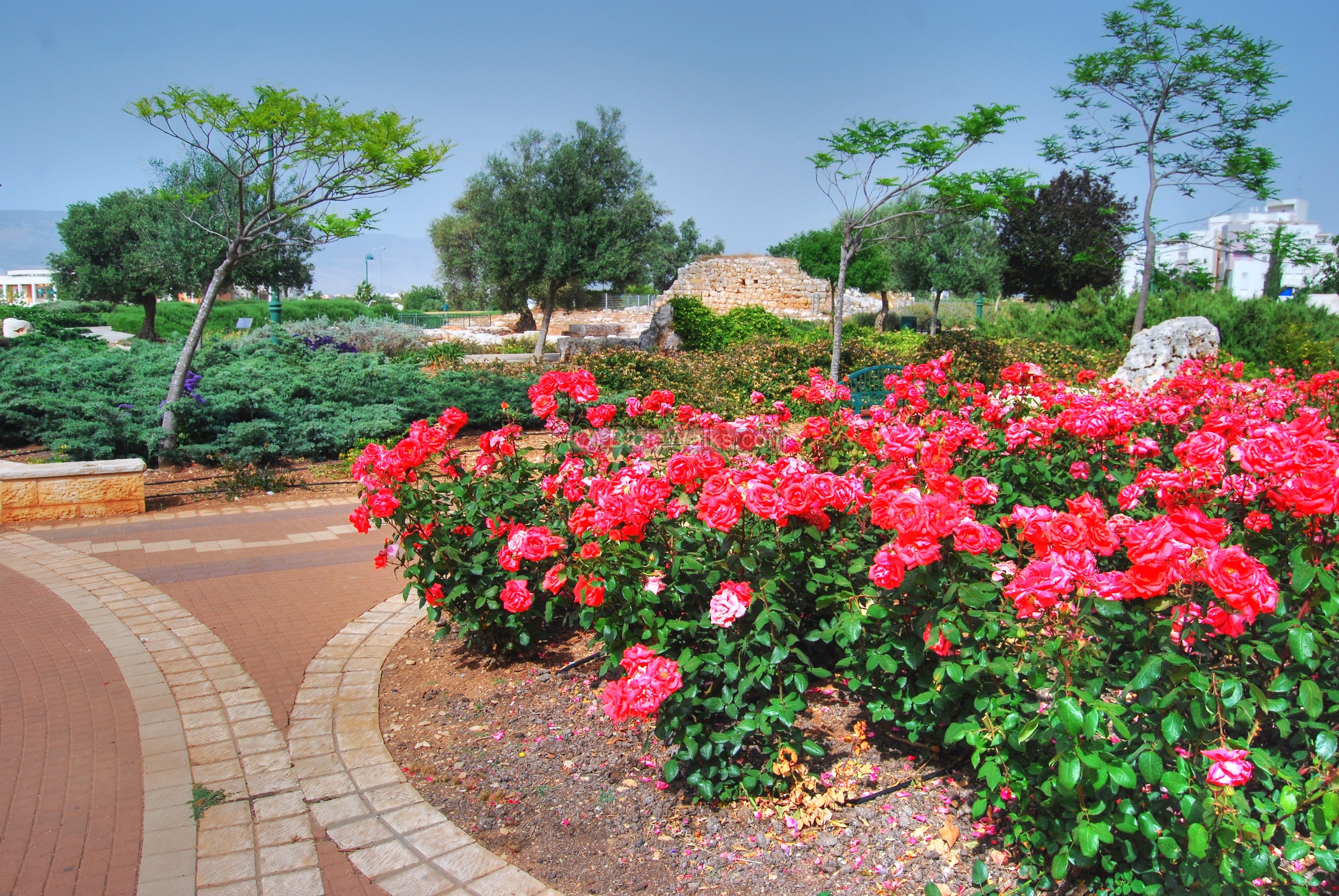
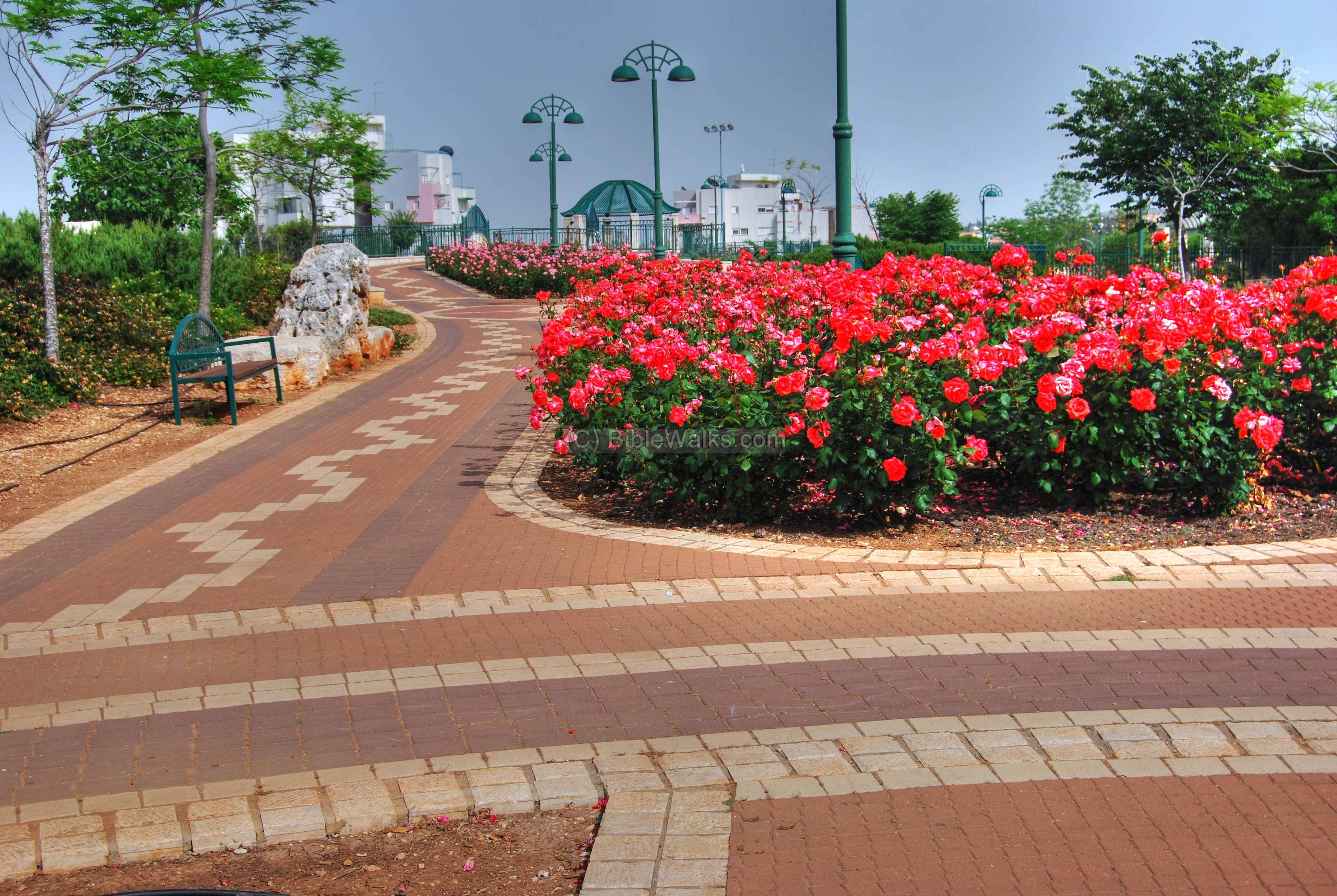
Rabin Neighborhood
Park Rabin is a beautiful planned garden, with rows of roses between concrete-brick tiled pathways. Stylized gazebos, lamps and chairs add beauty to the landscape. The park was part of a conservation project, which incorporated Khirbet Kav (Kab) within the garden.
Click on the photos to view in higher resolution…
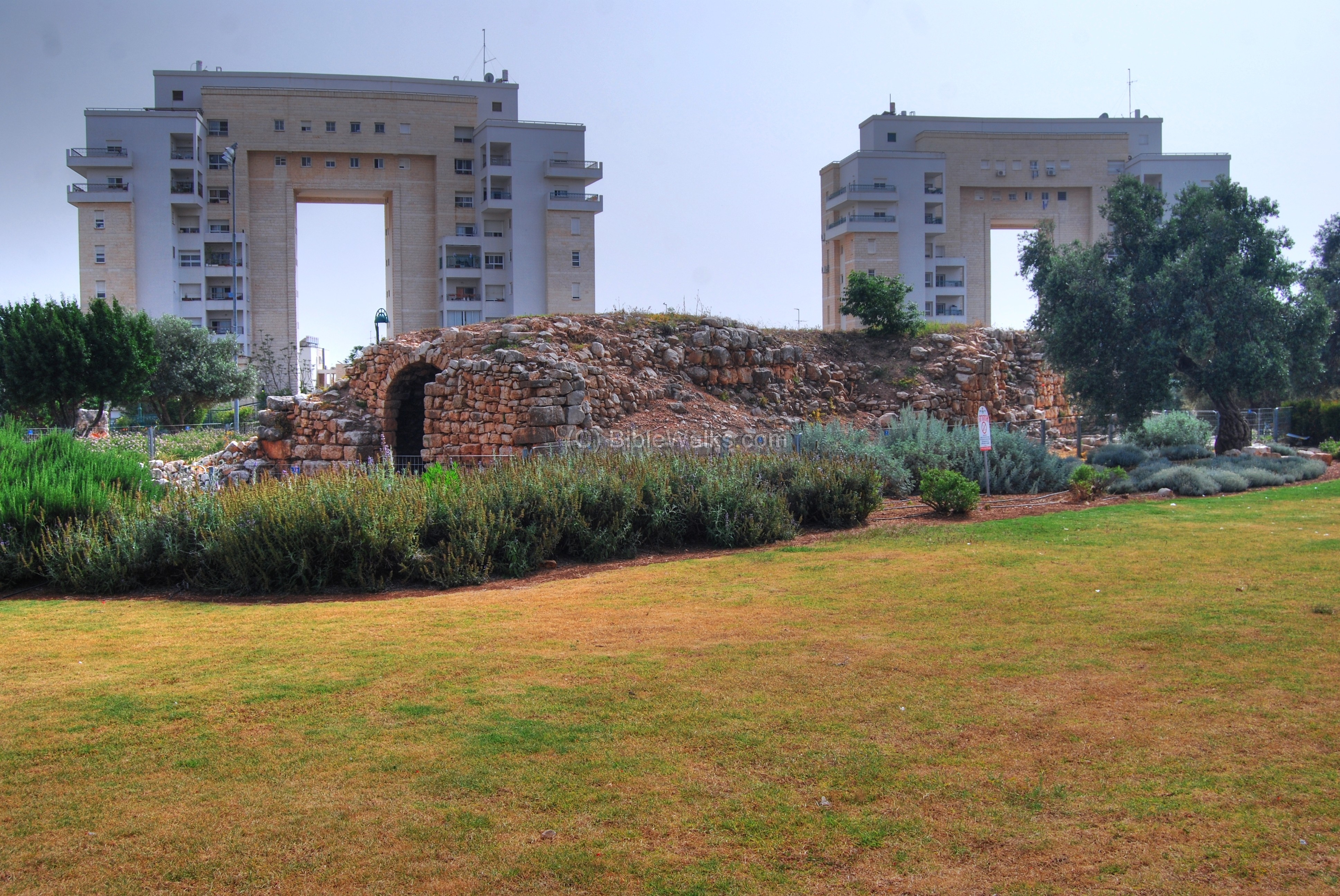
New & Old arches:
The photo below shows the modern residential buildings in Rabin neighborhood, built in the late 20th century, with the ancient Ottoman period structure in the foreground. Although both use the arch as a dominant element in their design, there is a large leap between the architectures.
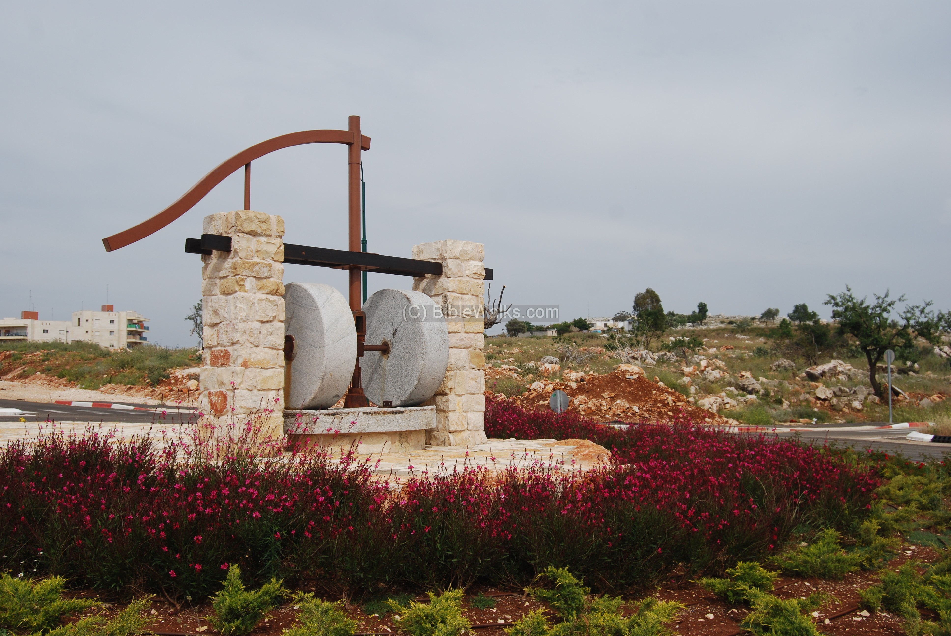
An ancient pair of mill stones are seen in a roundabout on the south side of the neighborhood, near Telalim park.
- East Neighborhoods
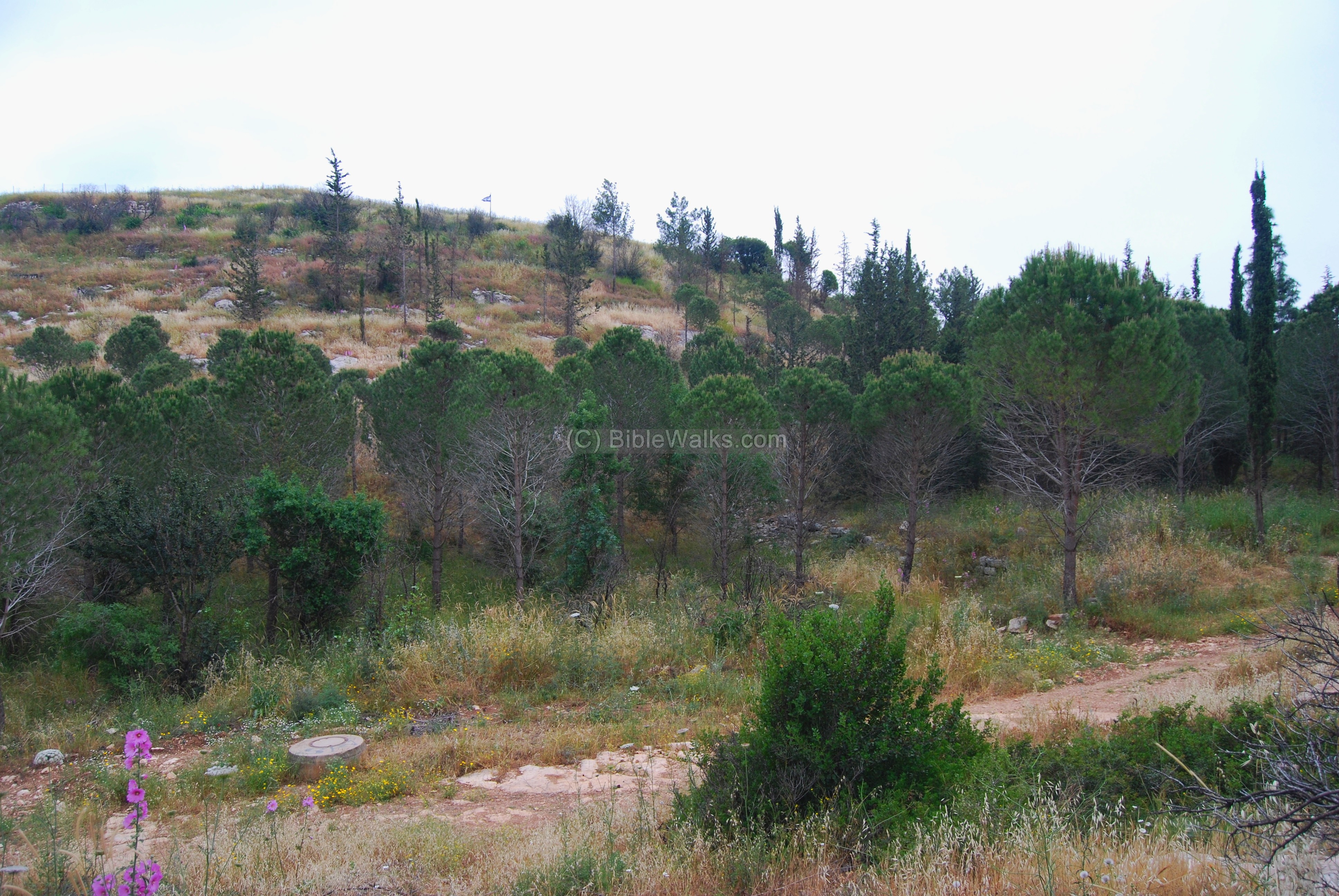
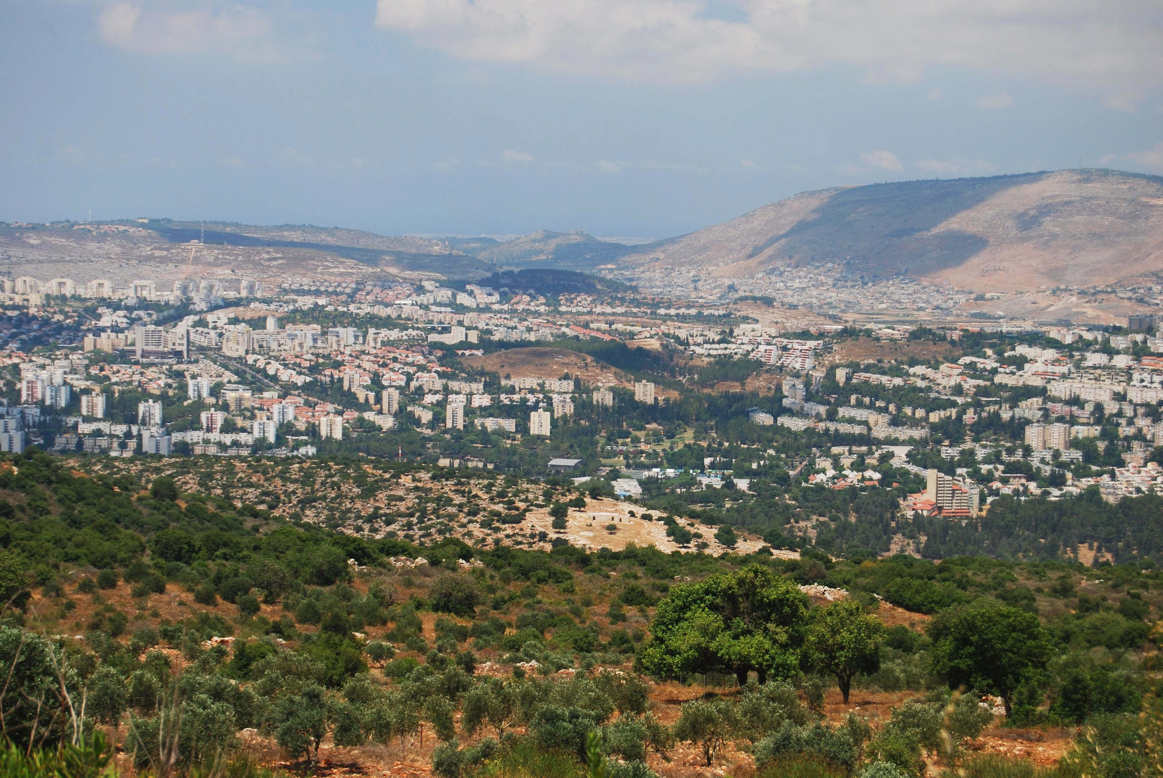
A panoramic view of the valley of Beit-Kerem is seen from the eastern edge of Khirbet Bata.
A view from Mt Kamon, a hill on the south-east side of Karmiel, provides a great view of Karmiel and its ancient sites. Khirbet Bata is seen in the center, and behind it in the far background is Har Gamal.
- Givat Ram
On the west side of Karmiel is the Givat Ram (“the high hill”) neighborhood, with two ancient sites on its northern side: Khirbet Madrasah and Kabra. The latter is seen in the photo below, behind a modern garden – one of many beautifully designed landscapes in the city.
Links and references:
* Archaeological links:
- Conservation in Urban areas – Karmiel as a test case (English)
- Conservation in Urban areas – Karmiel as a test case (Hebrew)
- Aviam M. 2004: Jews, Pagans and Christians in the Galilee (Land of Galilee 1). Rochester. Pp. 181-204.
- Yeivin Z. 1991. Excavations at Carmiel (Khirbet Bata) `Atiqot 21:109128.
- Hurvat Bata – The village and its Monasteries (Hebrew pdf; Cathedra 147, M. Aviam and J. Ashkenazi; 2013)
* Other Links:
- Karmiel Municipality web site
- Kalanit route – Tour guide to the city’s sites (Word document)
- Karmiel Dance festival
* Internal links:
Etymology (behind the name):
- Karmi’el (Carmiel) – Hebrew: Olive grove (Kerem) of God (-EL). Kerem means also vineyard, so the name also can mean “Vineyard of God”. The city’s name was based on the name of the valley – Beit-Kerem.
- Beit Kerem (Beth Cerem) – Hebrew: House of the vineyard (or olive grove). In Jeremiah 6:1 there is reference to another site near Jerusalem with the same name”… and set up a sign of fire in Beth Haccerem: for evil appeareth out of the north, and great destruction”.
BibleWalks.com – Experience the Bible by foot
Kh. Kenes<<<–previous site—<<<All Sites>>>—next Beit-Kerem site—->>> El-Khader
This page was last updated on Mar 22, 2024 (change pano)
Sponsored links: