This page summarizes the sites that are reviewed in the region of Yizreel and Beit She’an valleys in the southern Galilee.
Home > Sites > Yizreel & Beit She’an Valleys > Sites Gallery
On each site below you can:
- read a short summary (above the picture)
- read the biblical reference (below the picture)
- click on the title to get to the review of that site.
- click on the photo to see the picture at full resolution.
You can also see the list of sites on a map of the region, and use it to navigate among the places.
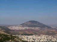
- Mount Tabor is a steep round hill on the north-east side of Yizreel valley. It played an important role in the biblical history, and traditions link it to transfiguration of Jesus. The hill is strategically located on the main north-south ancient road, and was an important fortress during the First and Second Temple, Greek and Roman times.
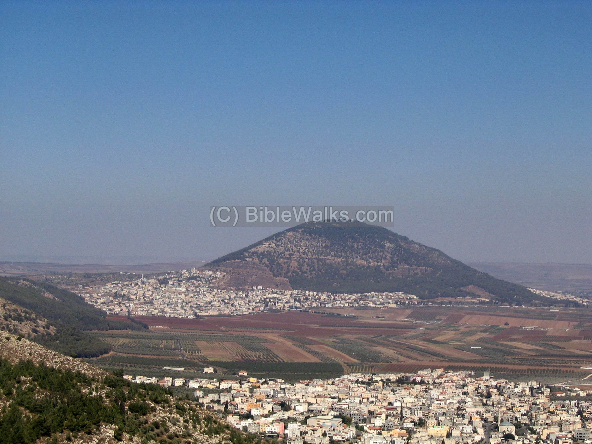
- Jeremiah 46:18: “…as Tabor is among the mountains…”
- The site is situated on the gateway on the road linking North and South of Israel, about 30 Km south-east of Haifa. The archeologists uncovered 26 layers of ancient cities, starting from the bronze age until the Greeks.
- Kings 1: 9:15:”And this is the reason of the levy which king Solomon raised; for to build the house of the LORD, and his own house, and Millo, and the wall of Jerusalem, and Hazor, and Megiddo, and Gezer.”
- This site, according to Revelation, is where the final battle will be between the forces of good and evil. The name may originate from the Hebrew name “mountain of Megiddo”.
- Revelation 16 :16: ” And he gathered them together at a place called in the Hebrew tongue, Armageddon”.
- Shimron is a Tel (mound) near Nahallal and Timrat, at a junction of major ancient crossroads, including the road to Nazareth.
![]()
- Joshua 11: 1: “And it came to pass, when Jabin king of Hazor heard thereof, that he sent to Jobab king of Madon, and to the king of Shimron, and to the king of Achshaph,…
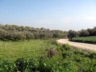
- In the lower northern slopes of Migdal Haemek are the ruins of an ancient village, from the Bronze age to the Roman period. This village is located on the old road from Yizrael Valley to Yafia, Nazareth and Sipphoris.
- Sarid is one of Zebulun cities, and located in the Jezreel valley. Near the Tell (in Arabic, Sadud, which preserved the name) is the Kibbutz by the same name, Sarid.
- Joshua 19:10: And the third lot came up for the children of Zebulun according to their families; and the border of their inheritance was unto Sarid.
- Yokneam stands in the entrance of a mountain pass through Mount Carmel, and was an important city in Biblical times and later periods.
- Joshua 12: 22: “…the king of Kedesh, one; the king of Jokneam in Carmel, one;
- Tel (mound) Kassis is a biblical city on the east of mount carmel. It is identified with Khelkat, the southern city in the region of Asher.
- This village is located south of Mount Tabor, and built on the ruins of a Roman village, where according to Luke Jesus performed a miracle, bringing the widow’s son back to life.
- Luke 7:14: “And he said, Young man, I say unto thee, Arise”
- This village is located south of Mount Tabor. EinDor’s fame is from the visit of King Saul to the witch from EinDor. There are 2 sites – an ancient Biblical Tell, and a Roman village that was continued until the last century.
- Samuel 1- 28: 7:“…And his servants said to him, Behold, there is a woman that hath a familiar spirit at Endor”.
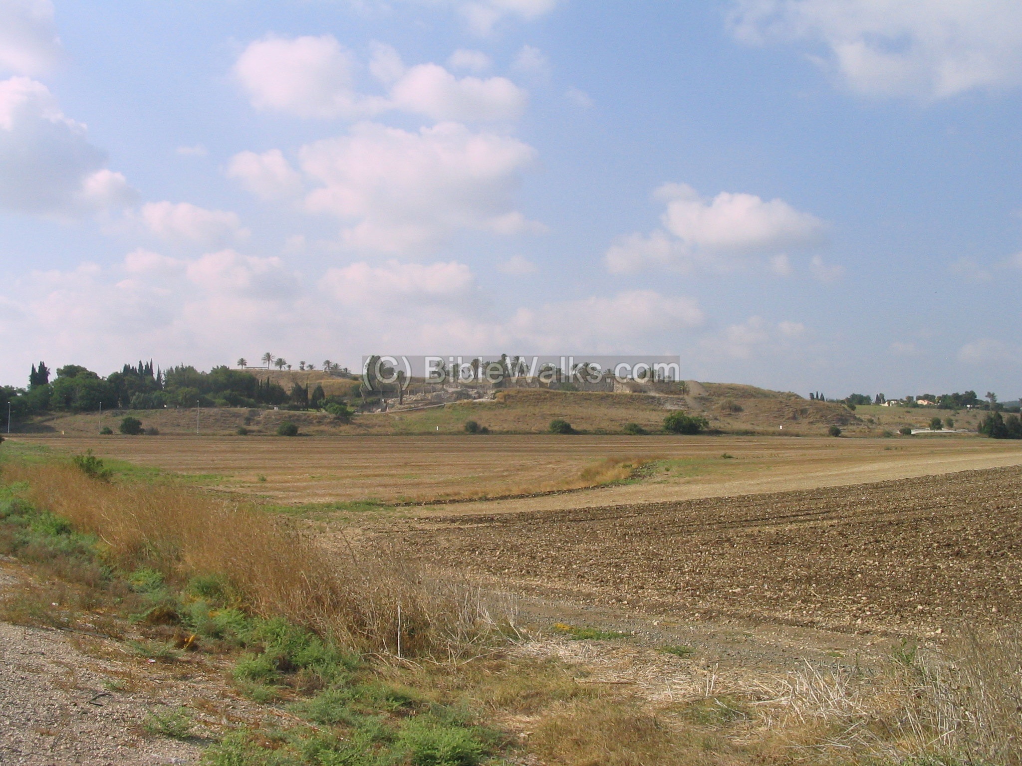
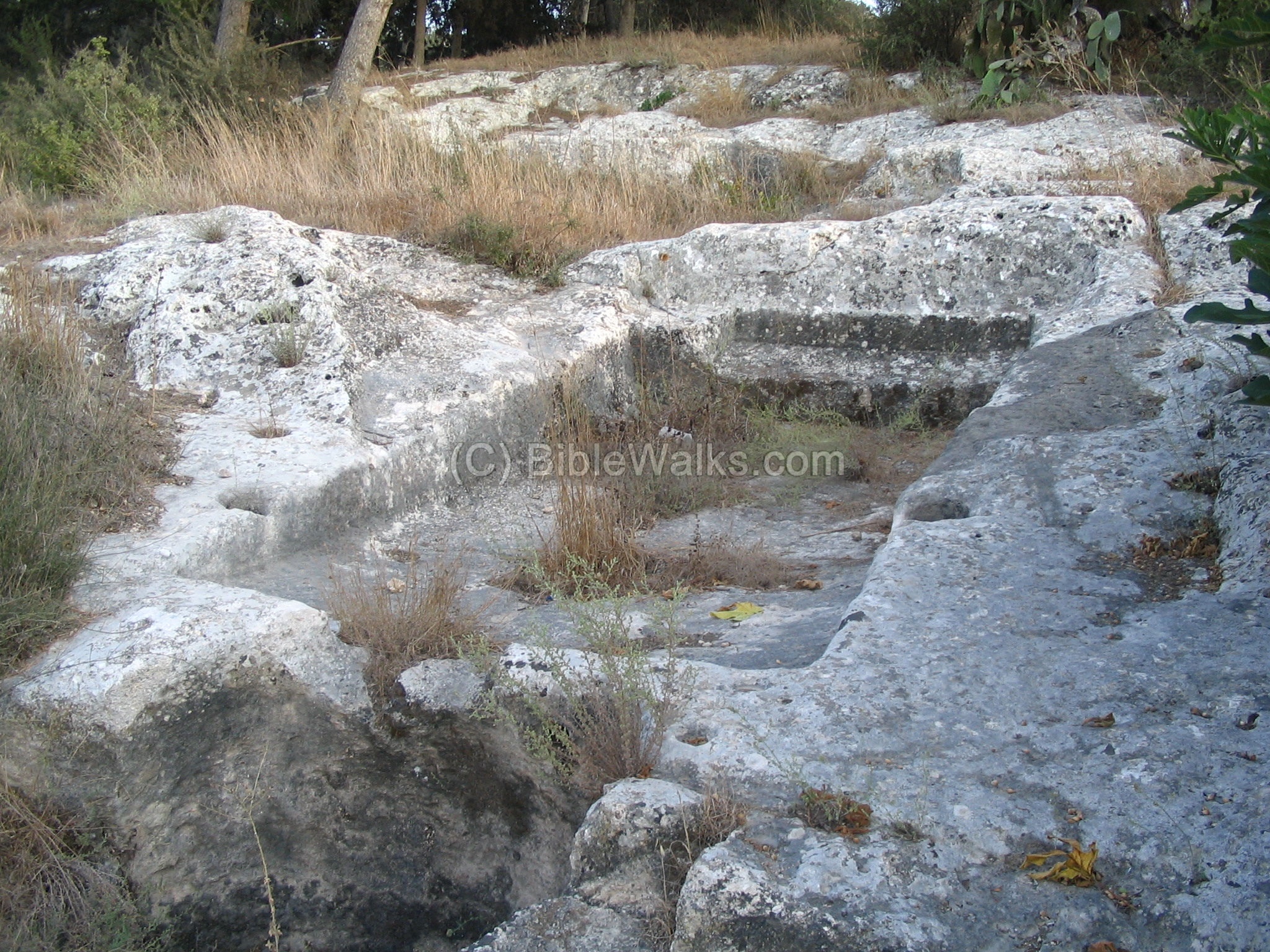
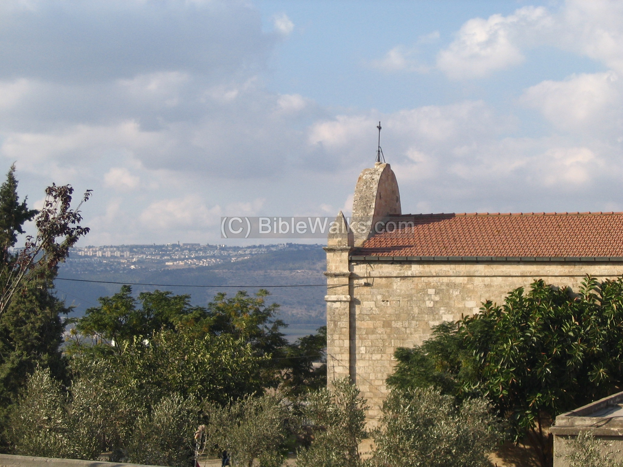
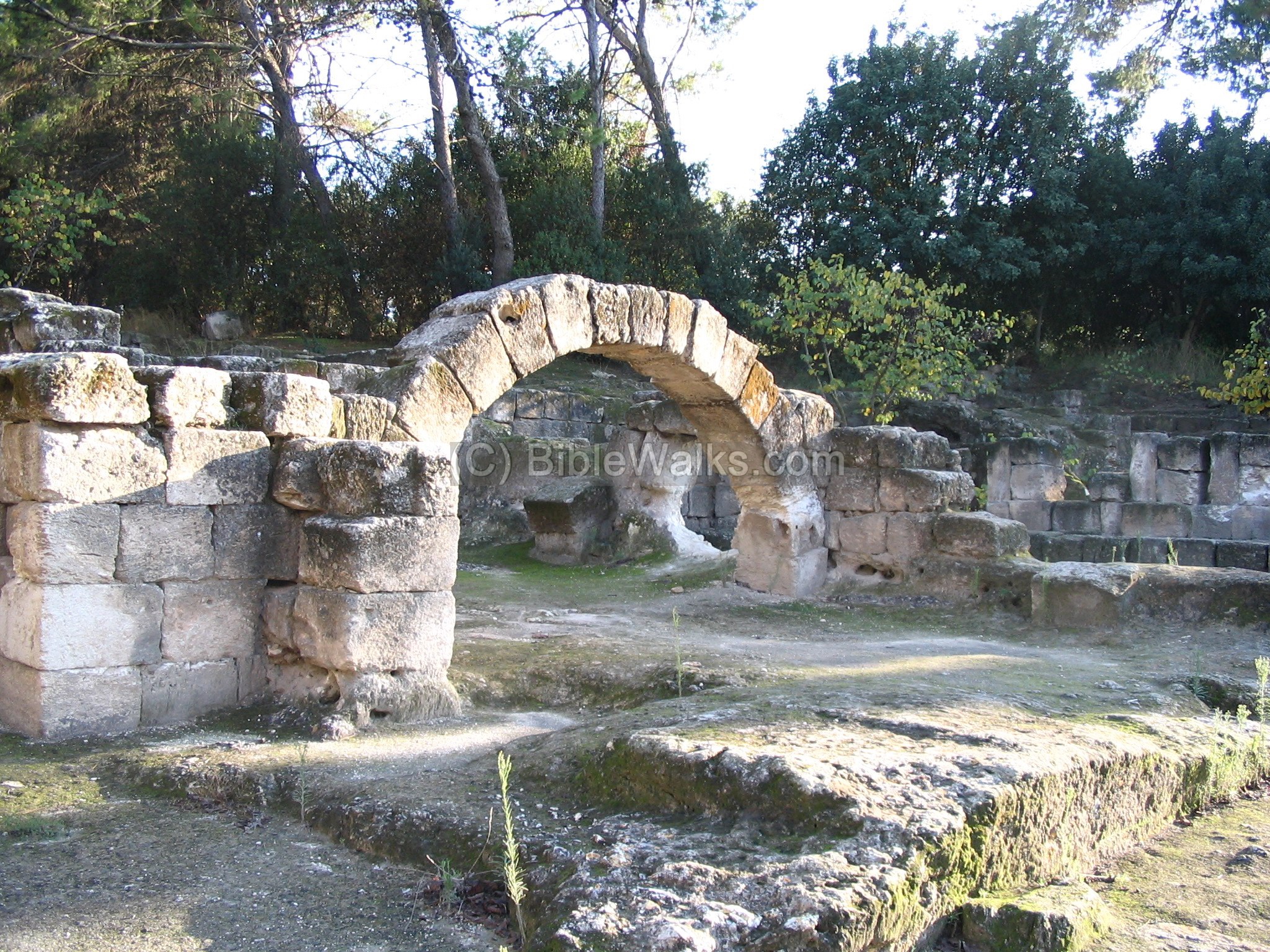
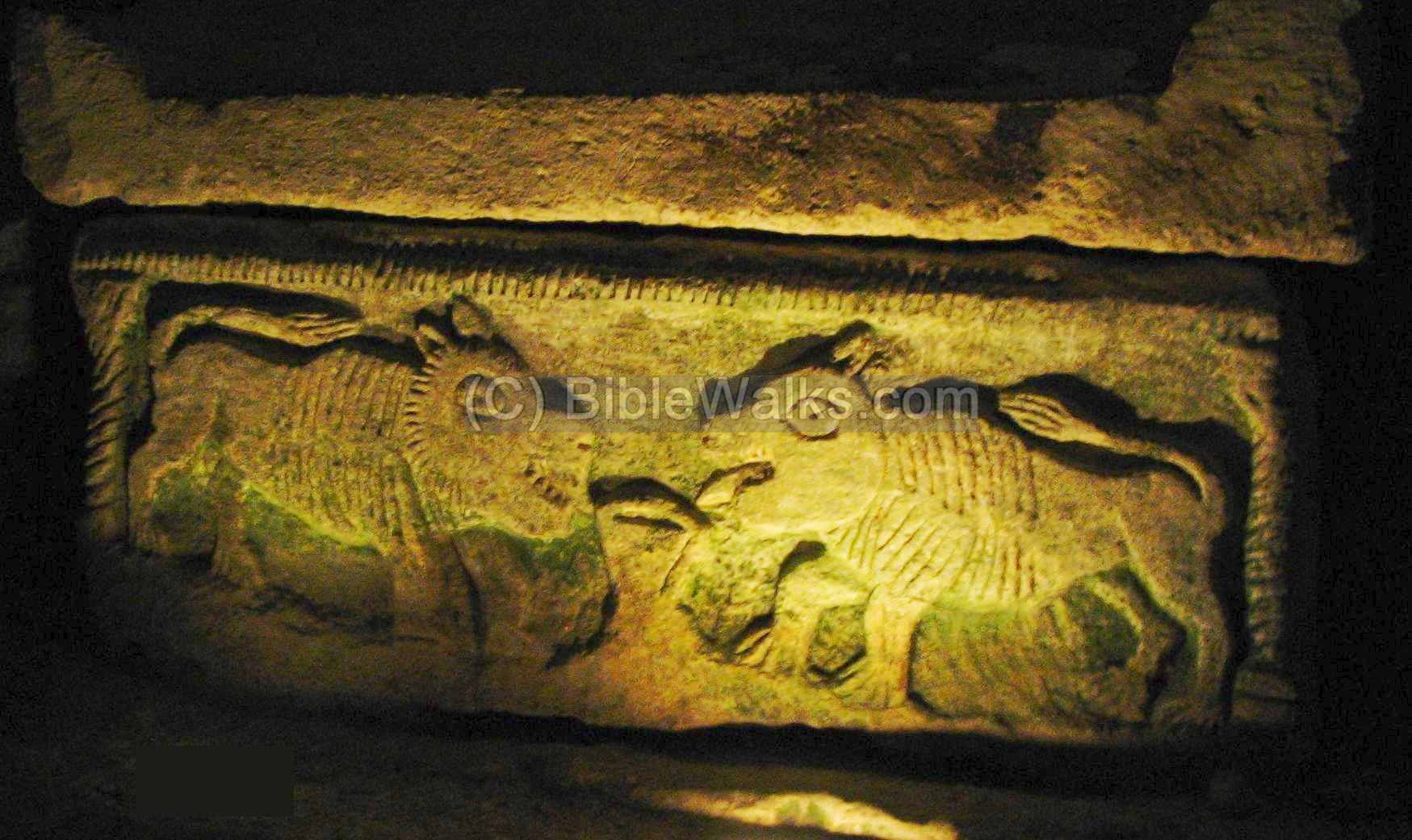
- Beit Shearim is one of the most famous sites in Israel, due to its remarkable necropolis, where a series of catacombs were excavated in the hill side .
- Josephus Flavius (Life : 24): “…and when I was at the city Besara, that lay in the confines of Ptolemais, but twenty furlongs from Gibea…”
- This web page focuses on the necropolis of Beit Shearim – its maze of underground tunnels, filled with remarkable coffins and tombs.
- A Roman/Byzantine village which was resettled in the 19th century by the Templars and later became a Moshav.
- Joshua 19: 14: “And the border turned about … and Beth-lehem; twelve cities with their villages. This is the inheritance of the children of Zebulun…”.
- Yizreel was a major Biblical city, located on the ancient trade route. It was the northern capital of the Kingdom of Israel. The Bible tells about events around and inside the city.
- 1 Kings 21:23: “The dogs shall eat Jezebel by the wall of Jezreel”.
- Ruins of an Arabic village, which was built over the earlier city of Biblical Nahalal and Roman Mahalul. In modern times the Biblical name was given to Moshav Nahalal, which was built nearby.

- Judges 1: 30: “Neither did Zebulun drive out the inhabitants of Kitron, nor the inhabitants of Nahalol; but the Canaanites dwelt among them, and became tributaries”.
Mount Tabor – Franciscan Monastery
- The tradition links mount Tabor to the Transfiguration of Jesus. On top of the hill is a Franciscan Monastery with a magnificent basilica.
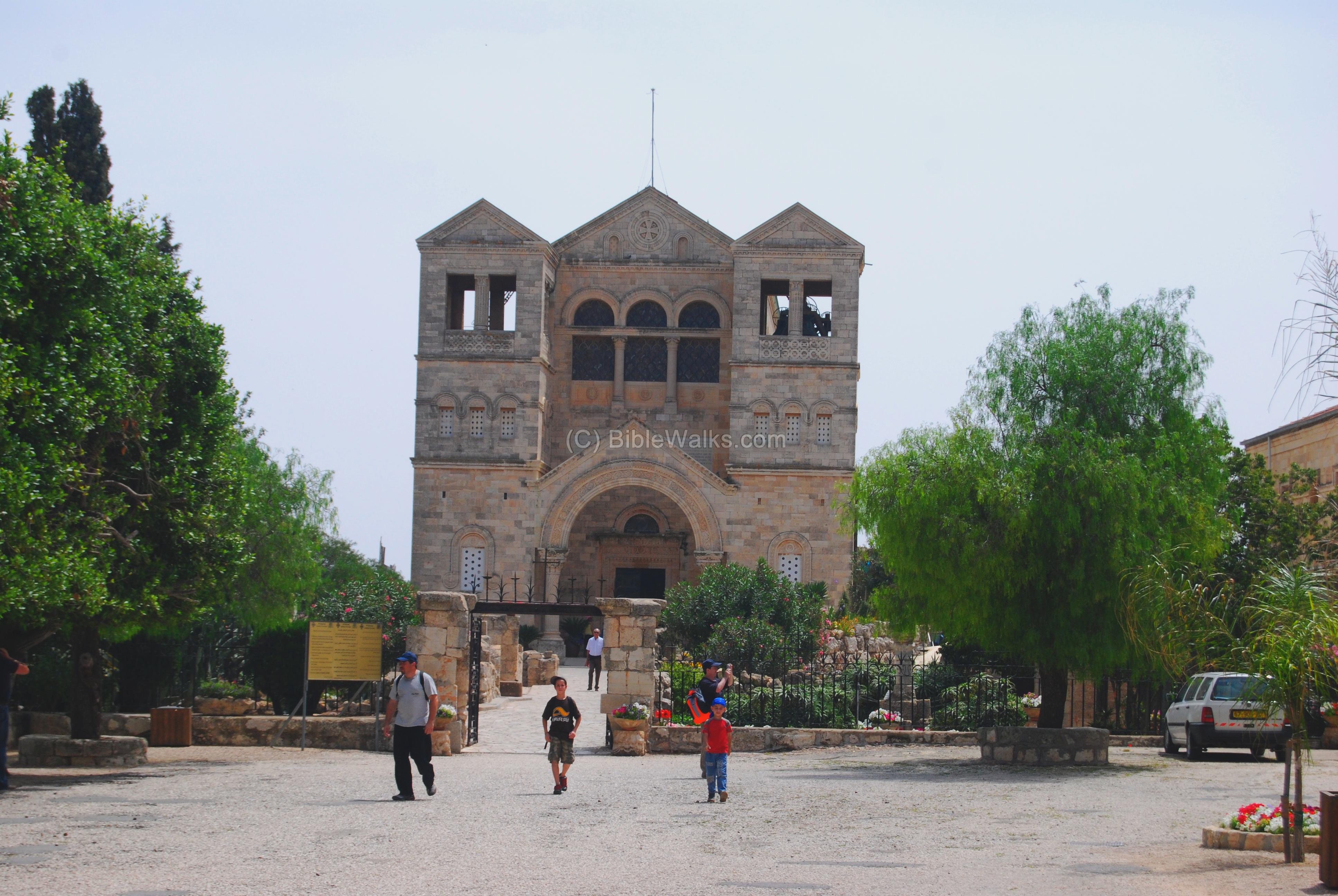
- Matthew 17:1: “…and bringeth them up into an high mountain apart, And was transfigured before them.”
Mount Tabor – Greek Orthodox Monastery
- On top of Mount Tabor is a Greek Orthodox Monastery- St. Elias.
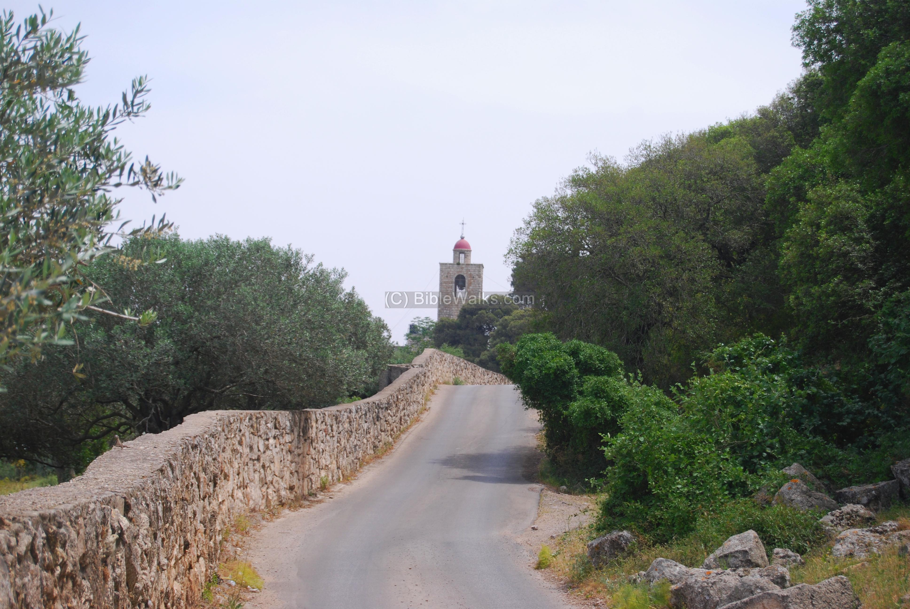
- Matthew 17 1-2: “…there appeared unto them Moses and Elias talking with him”
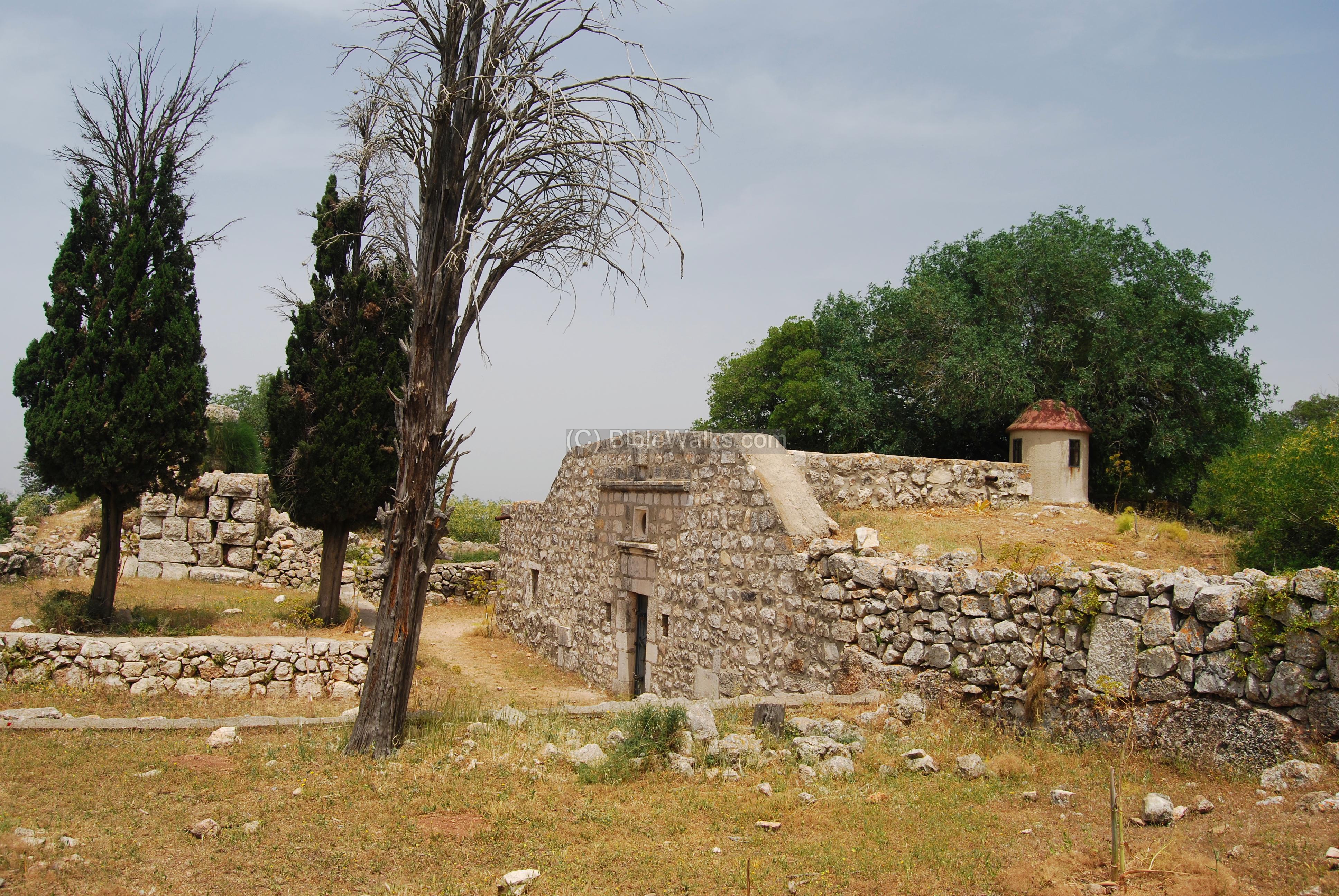
- On top of Mount Tabor are ruins of the Crusaders/Ayoubi fortress, ancient chapels and churches, and other structures.
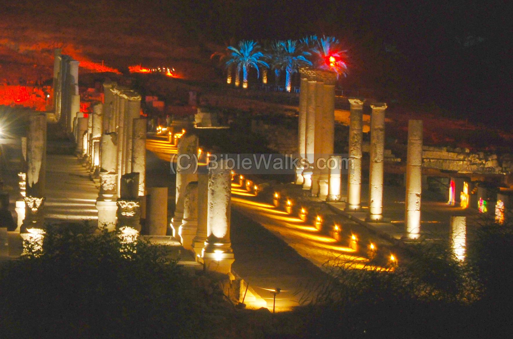
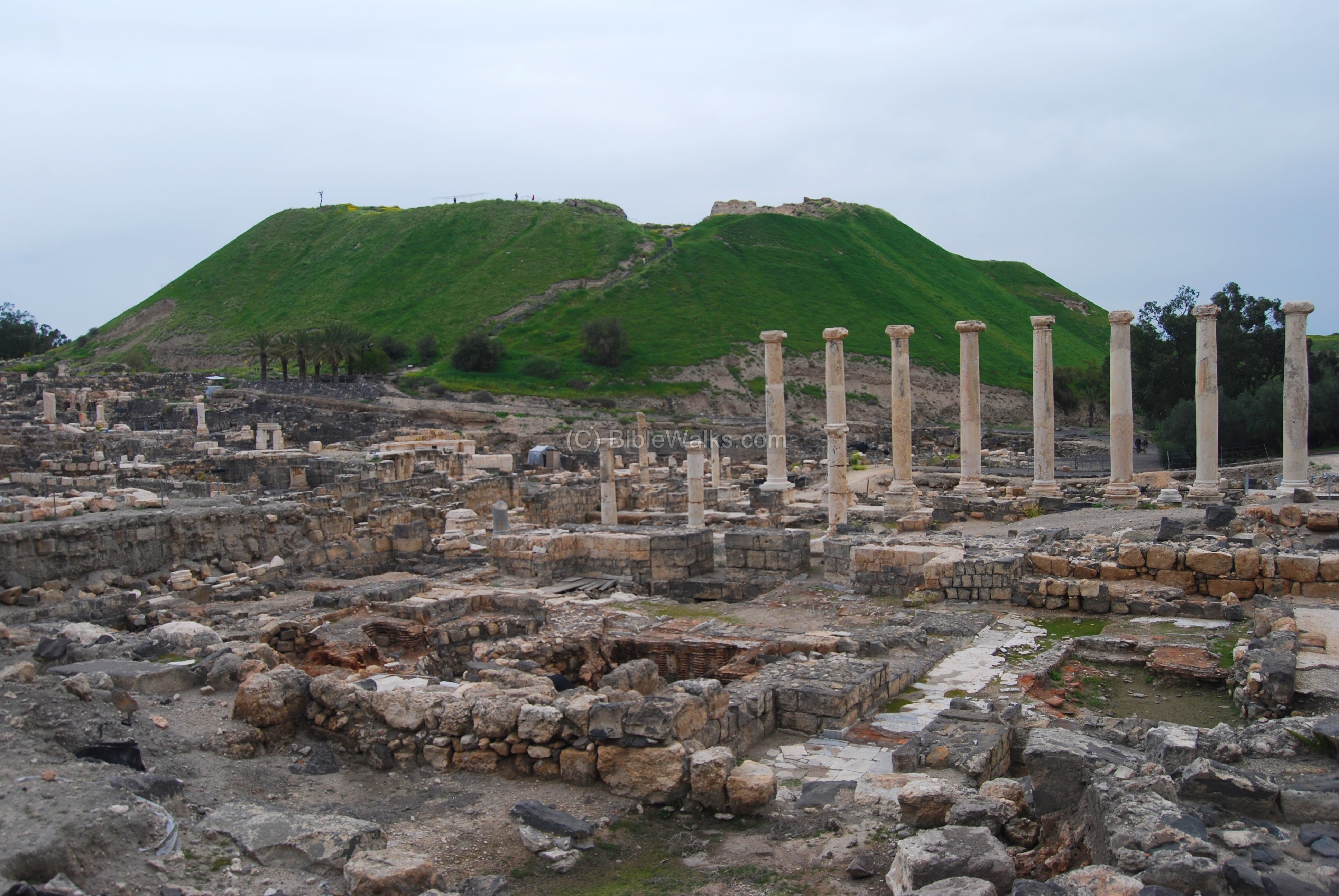
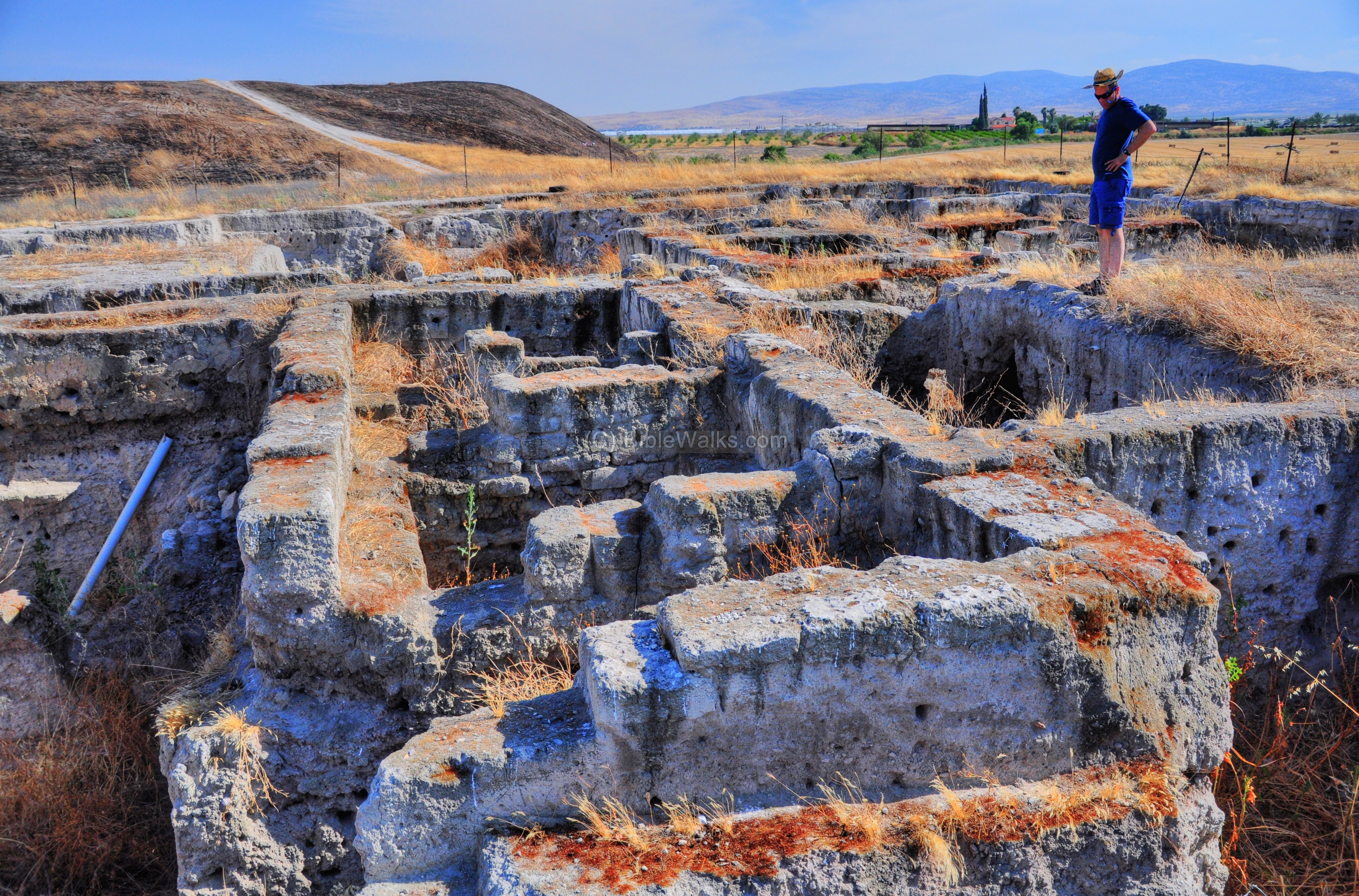
- Beit Shean was a major Biblical city, located on the ancient trade route. Adjacent to the its ruins, a new Hellenistic city, Scythopolis, was established and became a major city until its destruction in the 8th C. A new amazing state of the art multi-sensory night show has transformed the excavated site into a unique world class experience.
- 1 Kings 4 7-12: “And Solomon had twelve officers over all Israel… Baana the son of Ahilud; to him pertained … all Bethshean, which is by Zartanah beneath Jezreel”
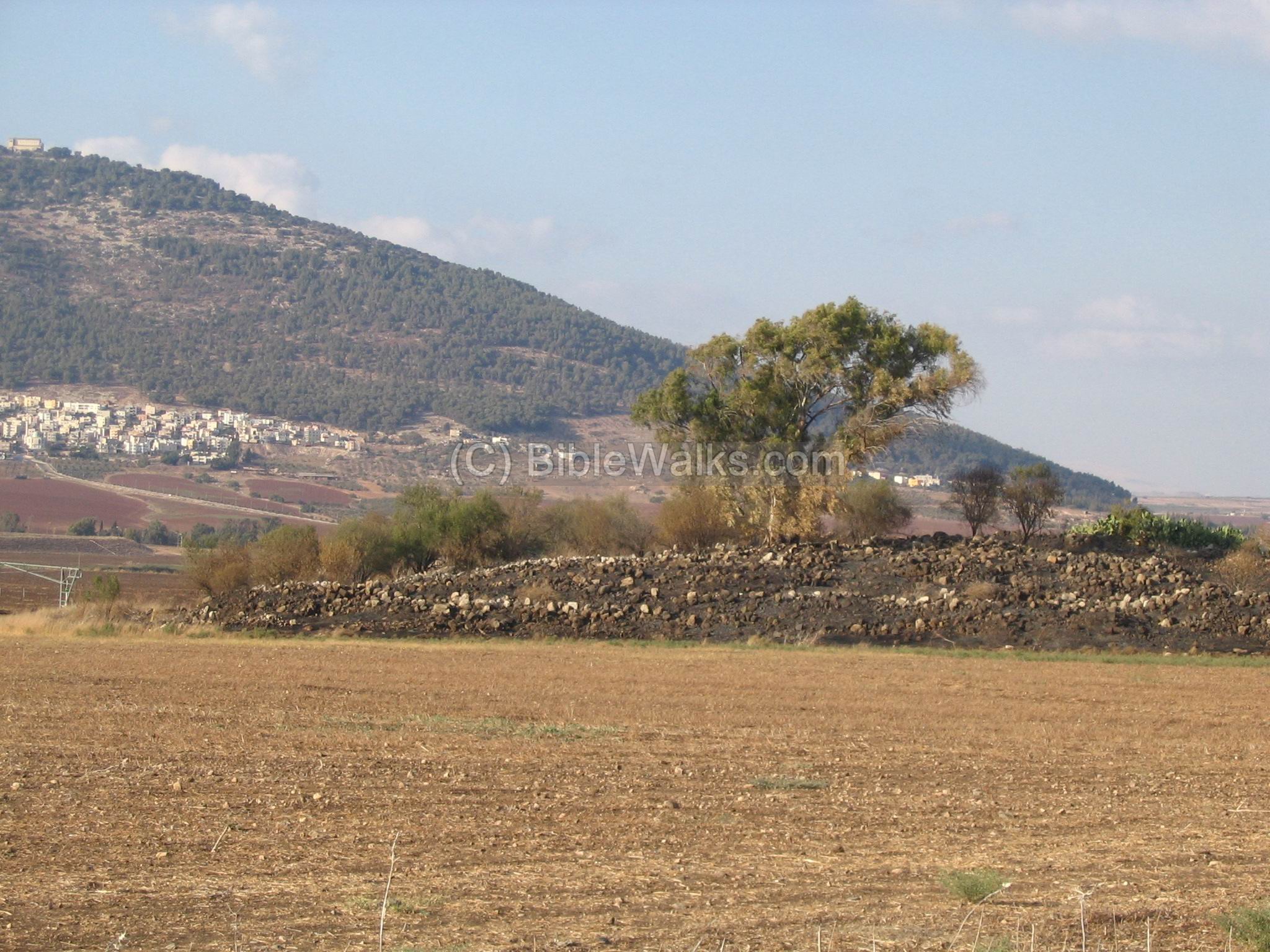
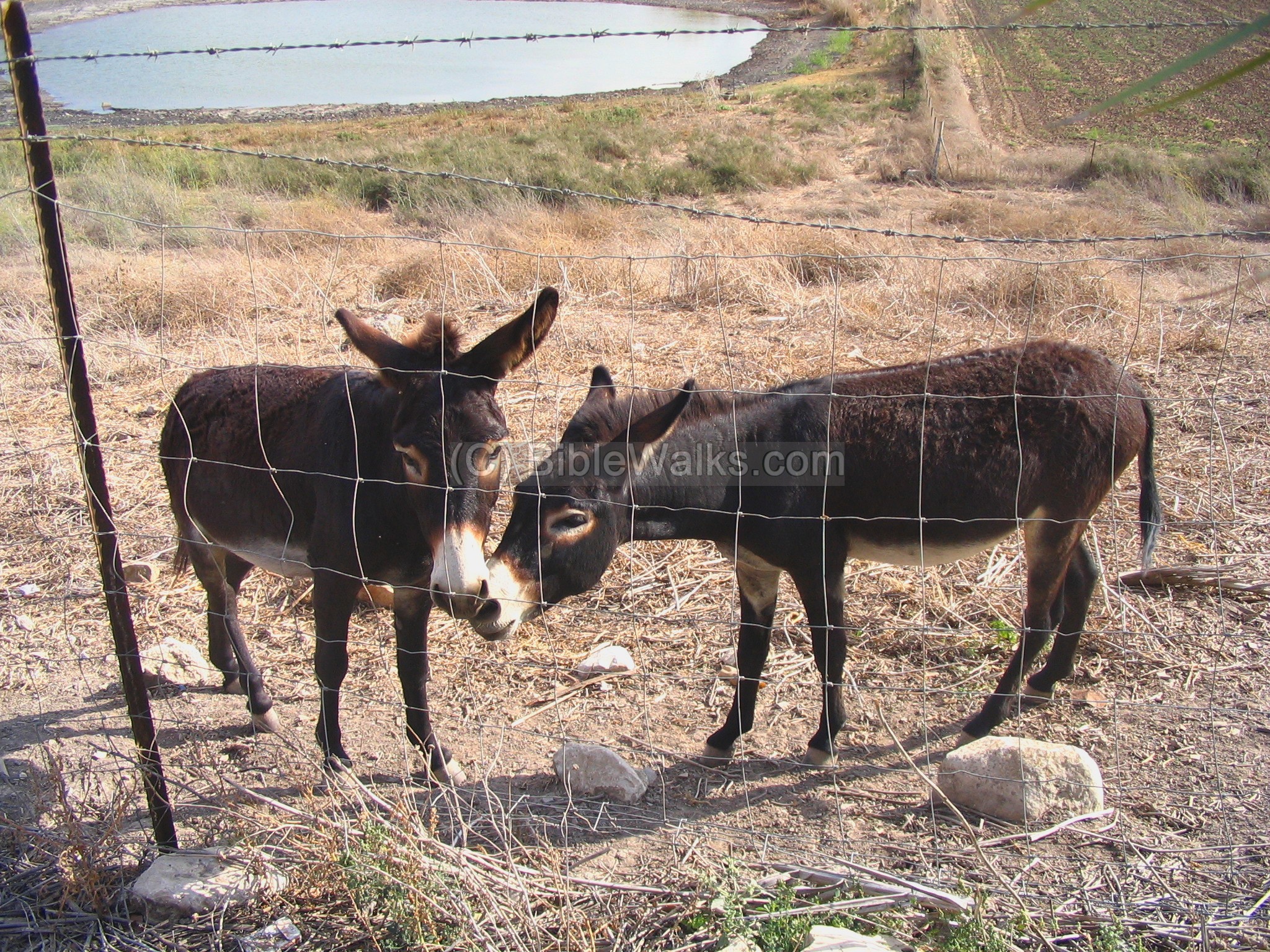
- Tel Yifar, a nature reserve, was a Biblical site located near ancient crossroads. The springs around the site are one of the sources of the Kishon creek. Water buffalos and donkeys graze in the swap.
- Judges 5 13: “Then he made him that remaineth have dominion over the nobles among the people” (inscription on the monument on the top of the hill)
- Beit Shean was a major Biblical city, located on the ancient trade route. Adjacent to the its ruins, the Hellenistic city, Scythopolis, was established and became a major city until its destruction in the 8th C.

- 1 Kings 4 7-12: “And Solomon had twelve officers over all Israel… Baana the son of Ahilud; to him pertained … all Bethshean, which is by Zartanah beneath Jezreel”
- This web page focuses on the older section of Beit Shean archaeological park. This was a major Biblical city, located on the ancient trade route. The ancient city thrived from the third millennium BC until the Hellenistic period in the 3rd C BC.
- 1 Samuel 31 6-13: “So Saul died, and his three sons,…and they fastened his body to the wall of Bethshan”.
- A large mound located in the Beit She’an valley, with remains from the Canaanite and Israelite periods. This is an active archaeological dig which continues to shed light on the Biblical period.
- An ancient synagogue from the Byzantine period, where a beautiful mosaic floor was found, illustrating a Zodiac, the Ark, and the binding of Isaac.

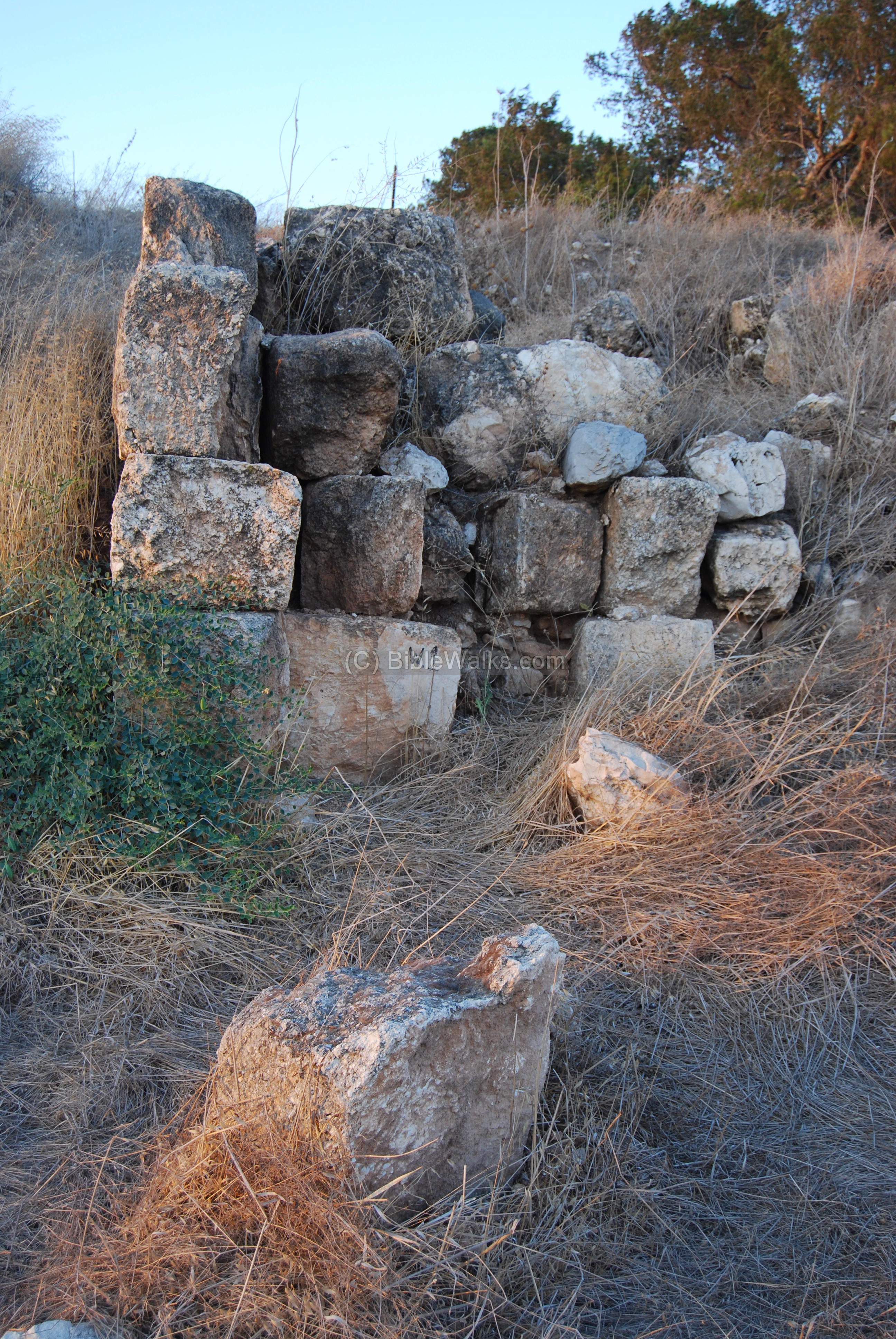
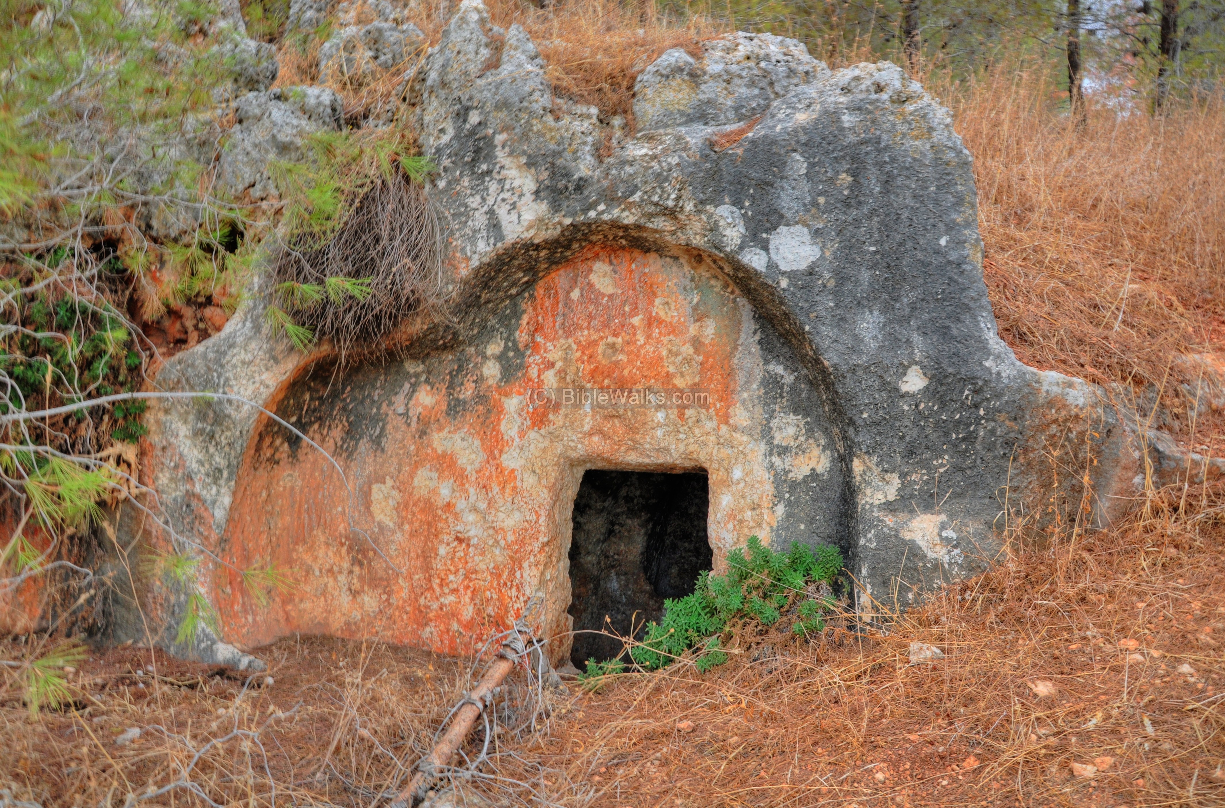
- Ruins of a large Roman and Byzantine village. A large cemetery is located on its west side, with many rock-hewn burial caves, cist graves and sarcophagi. Other rock cuttings are located near the ruins.
- Tarbenet was a Roman & Byzantine village in the Jezreel valley. A statue of Hercules was found in the salvage excavations during the construction of the new railway.

Statue of Hercules found in the bathhouse
- Remains of a Crusader fortified farmhouse, in the center of et-Taiyibe in the Jezreel valley.

- Sabbath boundary marker found in Timrat, with 3 letters in Hebrew. The marker was dated to the Roman period.

- Ruins of a roman period settlement, with agriculture installations, cisterns and hiding complexes. Perhaps this site is related to the Timrat Sabbath stone.

The largest Biblical mound in the lower Galilee, with remains of multi-period Canaanite and Israelite cities.
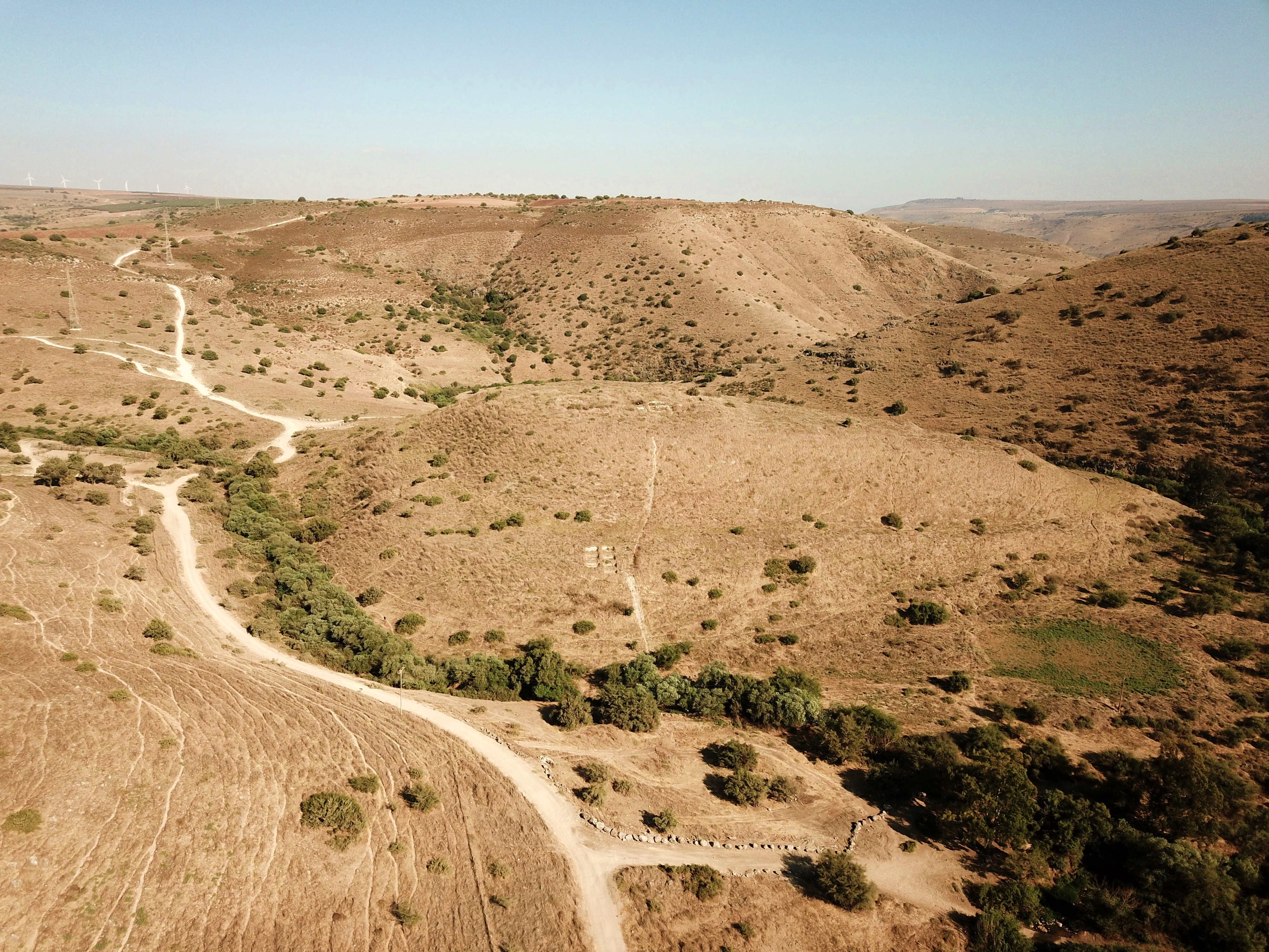
A multi-period archaeological site located on the plateau above Yavne’el, named after its spring (Ein Haddah).
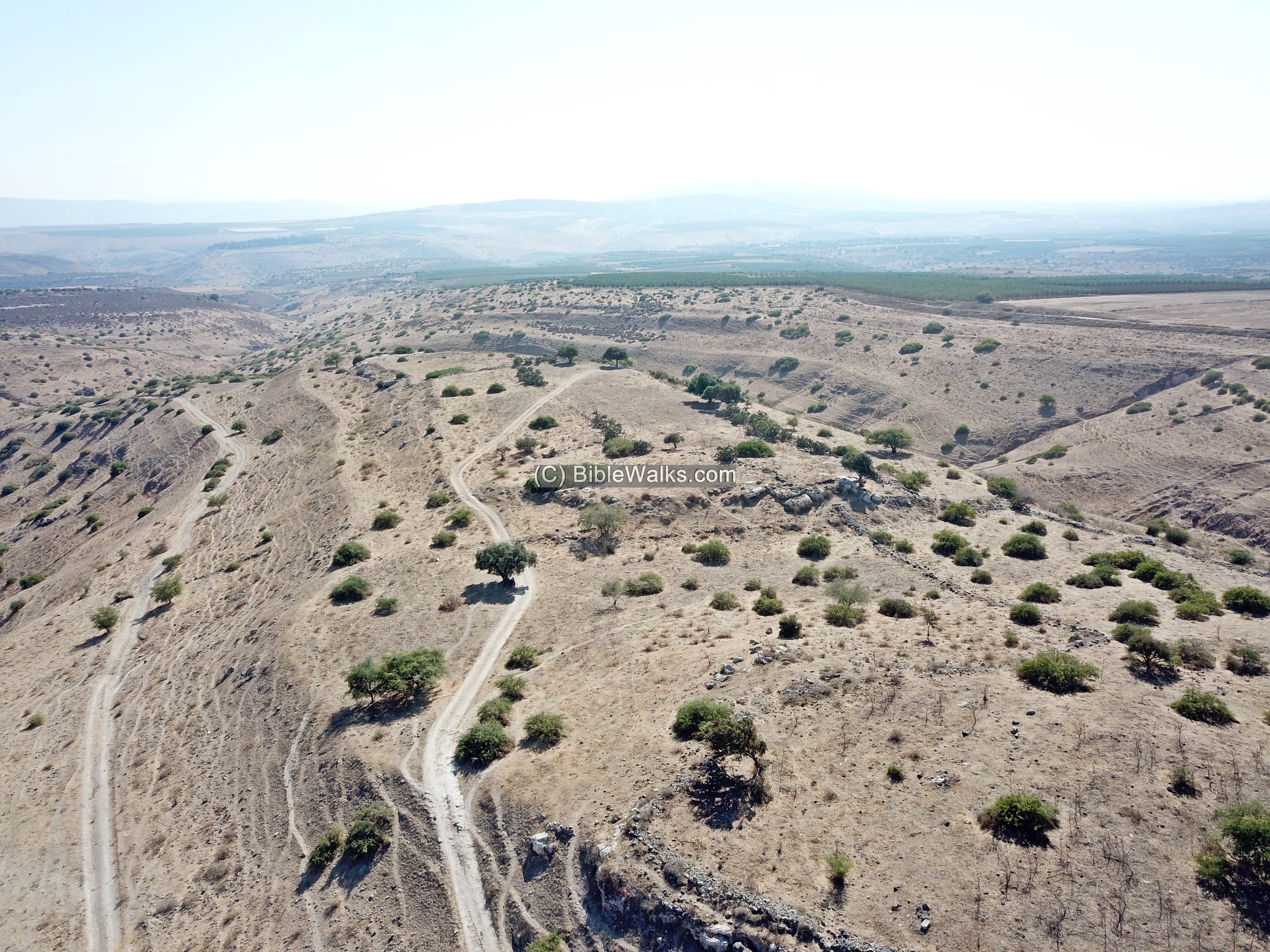
A spring, park and historic site on the foothills of Mt. Gilboa.
(Judges 7:1): “Gideon… pitched beside the well of Harod”.
A spring, park and multi-period archaeological mound on the foothills of Mt. Gilboa.
Tel Iztabba was the northern extension of ancient city of Beit Shean during the Byzantine period, and the main area of the Hellenistic city, Scythopolis.

Ruins of a Persian/Hellenistic period settlement, where an important Hellenistic stele were found .
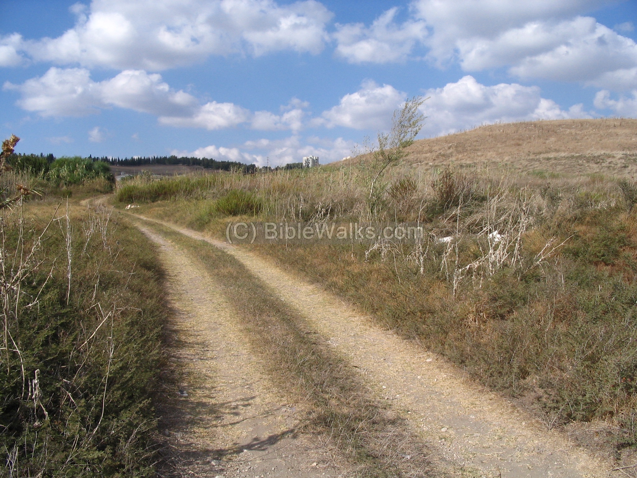
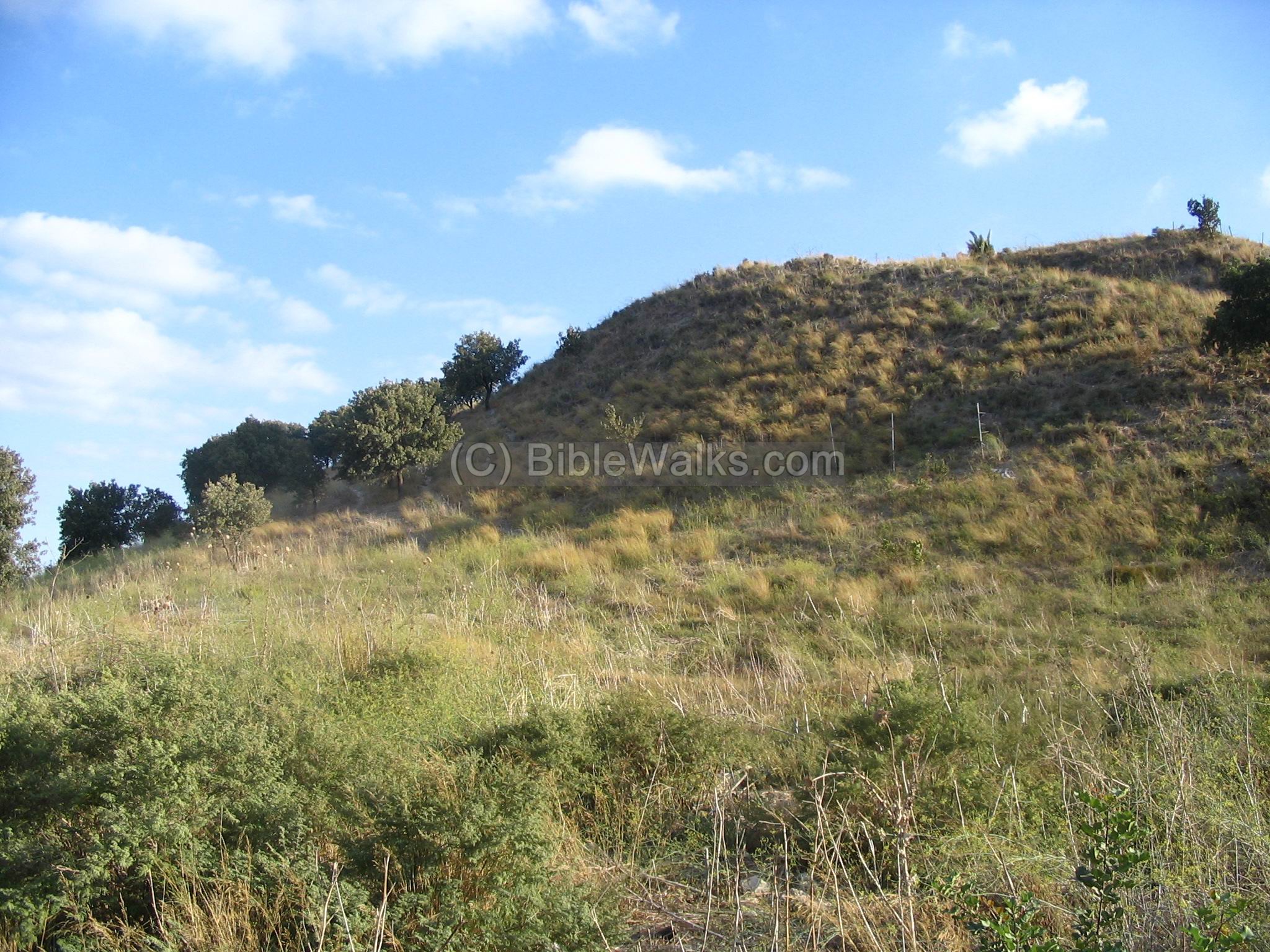
more sites to come…
Aerial View:
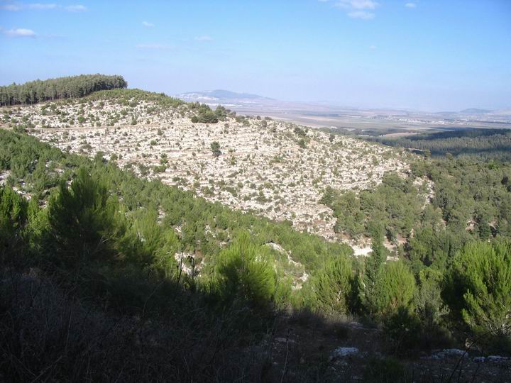
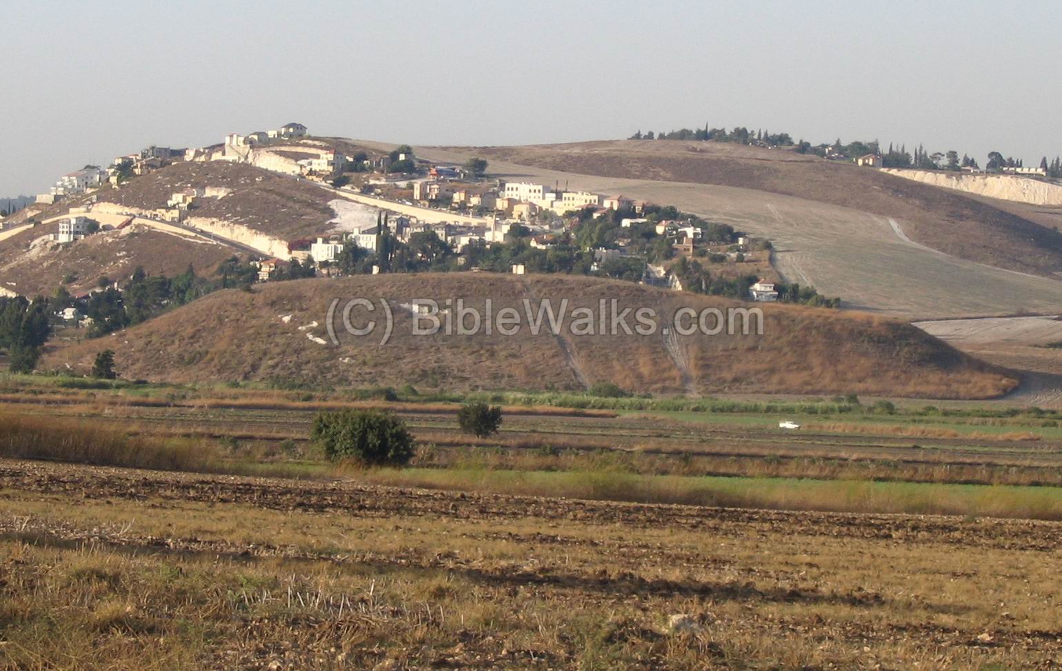
A view of the western side of Jezreel valley is shown in the following photo. On the left is mount Carmel, with the port city of Haifa and its western slopes. In the center-right is Beit Shearim with its famous catacombs, and the city of Tivon. In the right background is the area of western Galilee.

Panoramic View:
A Panoramic view of the center of the Jezreel valley is shown below. It was created from pictures taken from a point above Ginegar, looking towards the east-south-west.
If you press on this picture, a panoramic viewer will pop up. Using this flash-based panoramic viewer, you can move around left and right, zooming in and out, and view the site in full screen mode. Points of interest are indicated in the view. The viewer automatically rotates slowly around. Due to its large size, it may take minutes to upload… but its worth the view!
To open the viewer, simply click on the photo:
Panoramic view of Jezreel valley seen from Ginegar – Dated Feb, 2012
See the list of sites on a map of the region, and use it to navigate among the places.
BibleWalks.com – walk with us through the sites of the Holy Land
Sites Navigation: On all featured sites, you can use the navigation aid at the end of the page for proceeding to the next site. The navigation bar takes you through a tour of the sites. At the bottom of each site you can navigate forward or backward, or return back to a full list of all sites in all regions of Israel.
<<<All Sites>>>—next Yizreel Valley site—>>> Mount Tabor
This page was last updated on Sep 25, 2025 (add Shamot)