Ruins of a Roman/Byzantine village on the western edge of Kziv creek. In the site are ruins of a Crusaders fortified farm complex, including a sugar processing factory.
Home > Sites > Upper Galilee > Khirbet Manot (Manueth)
Contents:
Background
Location
Aerial map
History
Photos
* Aerial Views
* Sugar factory
* Press
* Quarry
* Winepress
* Aqueduct
Sugar history
Etymology
Links
Background:
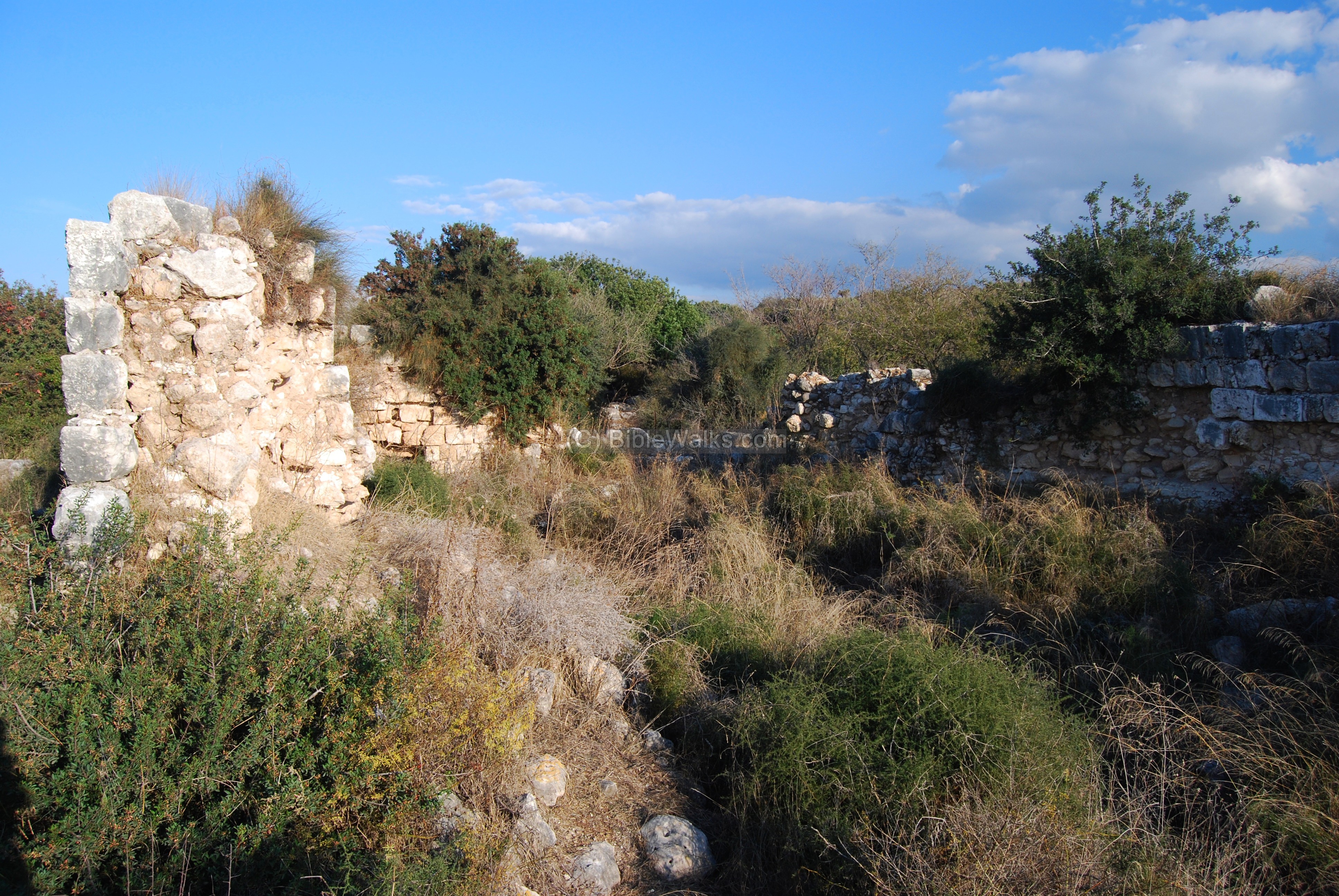
Khirbet Manot is the ruins of a Roman and Crusaders period village located on the west end of the Kziv creek in the upper Galilee. The village is located on two areas on the western hillside: an upper side, where the Crusaders fortified farm complex used to be, and a lower side where the sugar processing factory was located.
Location:
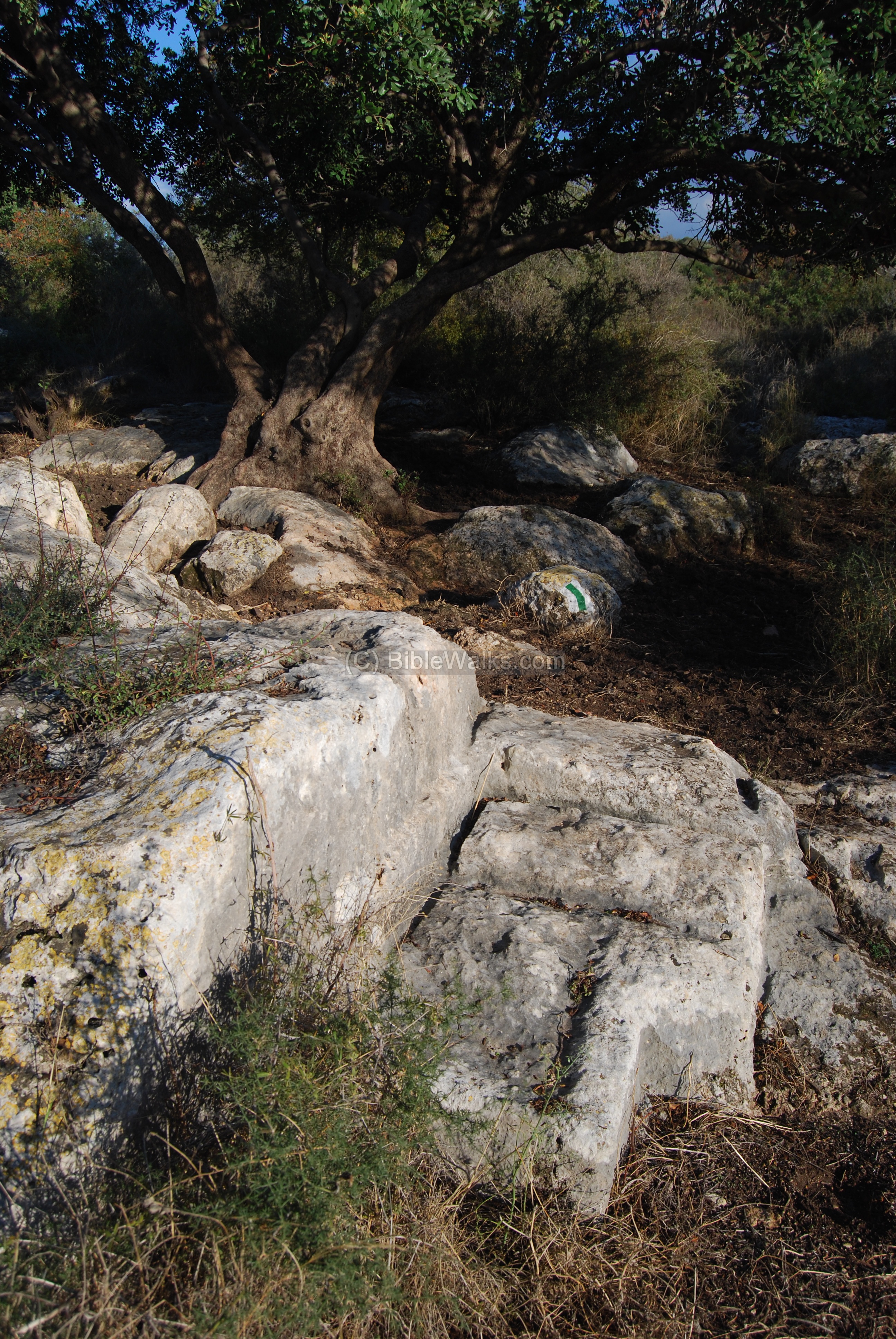
The site is located near the Cabri-Shlomi road (highway #70). There are trails that provide an access through the site. The entrance to the trail is located near the turn to New Manot, 100M east to the main road. A closer trail to the sugar factory is from an entrance on the main road, south of the junction.
An ancient stone quarry is located on the side of the road that continues along the creek to New Avdon. Among its walls are Roman/Byzantine rock-cut tombs.
An aerial map of Khirbet Manot and the area around it is shown below, indicating the major points of interest.

History:
- Prehistory and Biblical
Along the Kziv creek, about 1KM east, are many findings starting from from the Neolithic period (83rd – 45th century BC).
At Abu edh Dhahab, 200M to the west of lower Manot site, are traces of a settlement from the Early Bronze to Iron and Persian periods (~30 thru 4th century BC).
The ancient site relocated to the new hillside villages (Manot and Suggar) during or after the Hellenistic period. Today the Biblical site is completely razed and only pottery fragments scattered on the surface can attest to the existence of the earlier site.
- Roman/Byzantine
The village was established at the Roman period. There are few remains from that period and the Byzantine period located mainly on the lower side of the hill.
Other Roman/Byzantine villages are located nearby: Khirbet Suggar (800M east), Khirbet Hamsin (1KM north-west), Khirbet Emed (1.2KM west) and Khirbet Shakof (2KM west). This density of villages shows that the area was heavily populated during this period – due to the fertile lands and supply of water along the creek, the strategic location near a port and trade road, and the prosperity during these periods.
- Crusaders
The Crusaders established one of their important fortified farms in the area, calling it Manueth. The lands of the farm were leased in 1169 and the houses were built on the higher foothills – “upper” Manot.
In the nearby valley of Kziv the farmers grew sugar canes. The canes require plenty of water which the creek provided. They also built a large sugar processing factory on the lower side of the farm, close to the modern road. The sugar production was one of the Crusaders industries, and other sites in the Holy Land had similar factories, such as Gilgal in the Sharon.
Manueth’s military purpose was the protection of the entrance to the creek, where a road led to the Montfort castle and farm. The farm was part of the Crusaders alerting network: it kept a visible communication line with other posts – using fire signals at night and smoke signals at bright days, alerting each other on approaching enemies. On the east side it communicated with Montfort (7KM), via relay stations along the creek (such as Avdon). On the west side it had a direct visible line to the coastal Castle Imbert (Achziv, 5KM).
In 1187 the farm was taken for a short time by Saladin’s forces, but returned back to the Crusaders shortly after. In 1212 the farm was sold by its owner to the Templars order, who held it until 1260.
- Mamlukes/Ottomans
The Mamlukes, under Baybars, captured the village in 1260 and held a headquarter in the farm. It was later given to the order of Hospitalars, who leased it to the knights of Montfort. The sugar factory continued to function several centuries later, being a lucrative source of income.
- Modern times
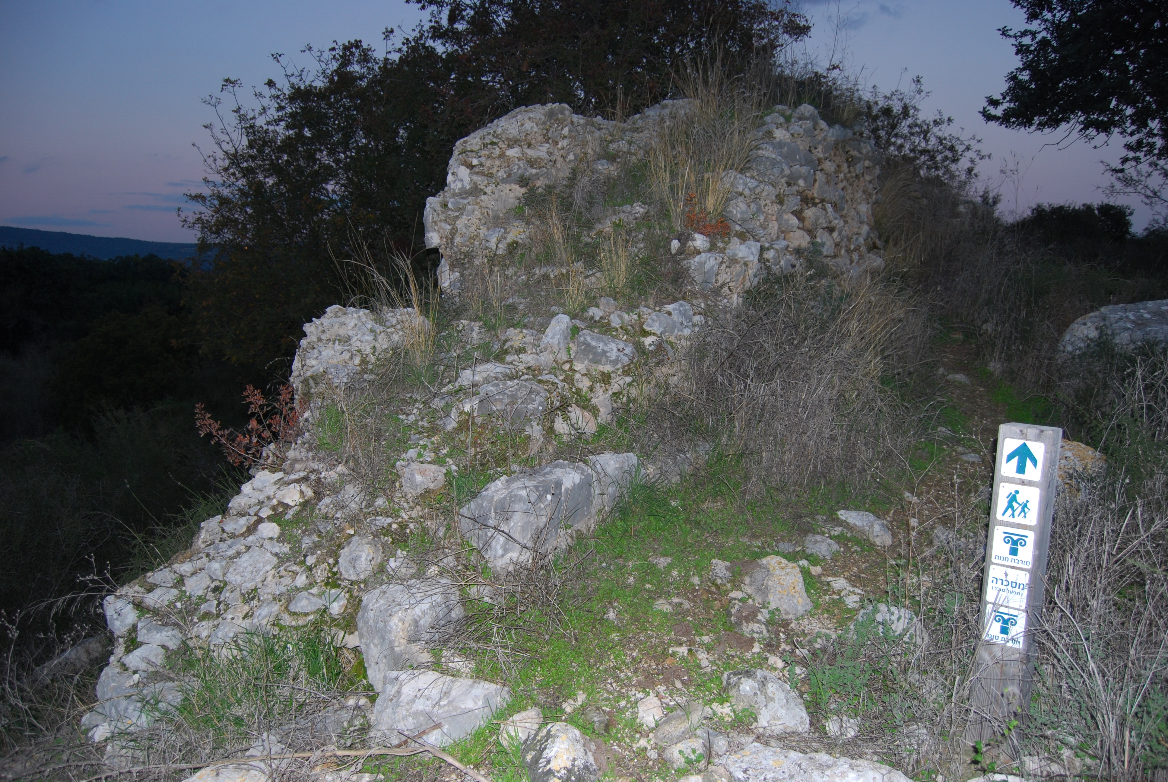
The site is in ruins today, but there are good trails to ease the passage through the bushes. There are plans to reconstruct the sugar factory and the area around it.
A new settlement, Moshav Manot, was established in 1980 and named after Khirbet Manot.
Photos
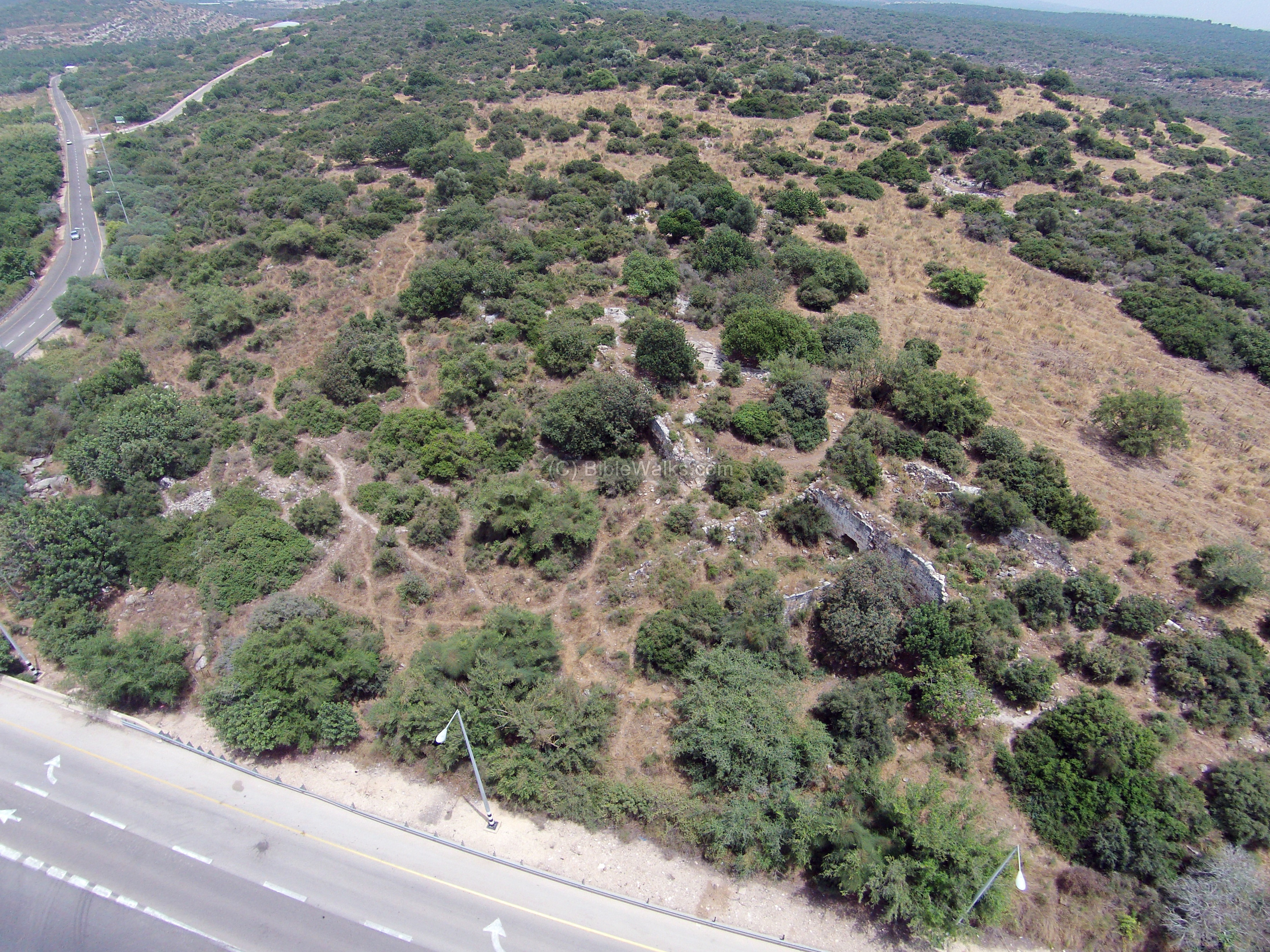
(a) Aerial Views
This aerial view shows the site from the west side. The ruins of the village spread over the whole hill, and few of its structures can be seen among the bushes. The Crusader sugar factory is located close to the road, while the Roman/Byzantine period ruins are located on the foothills behind it.
Click on the photos to view in higher resolution…
![]() A flight over the site, with a 360 degrees view around it, can be seen in this drone video:
A flight over the site, with a 360 degrees view around it, can be seen in this drone video:
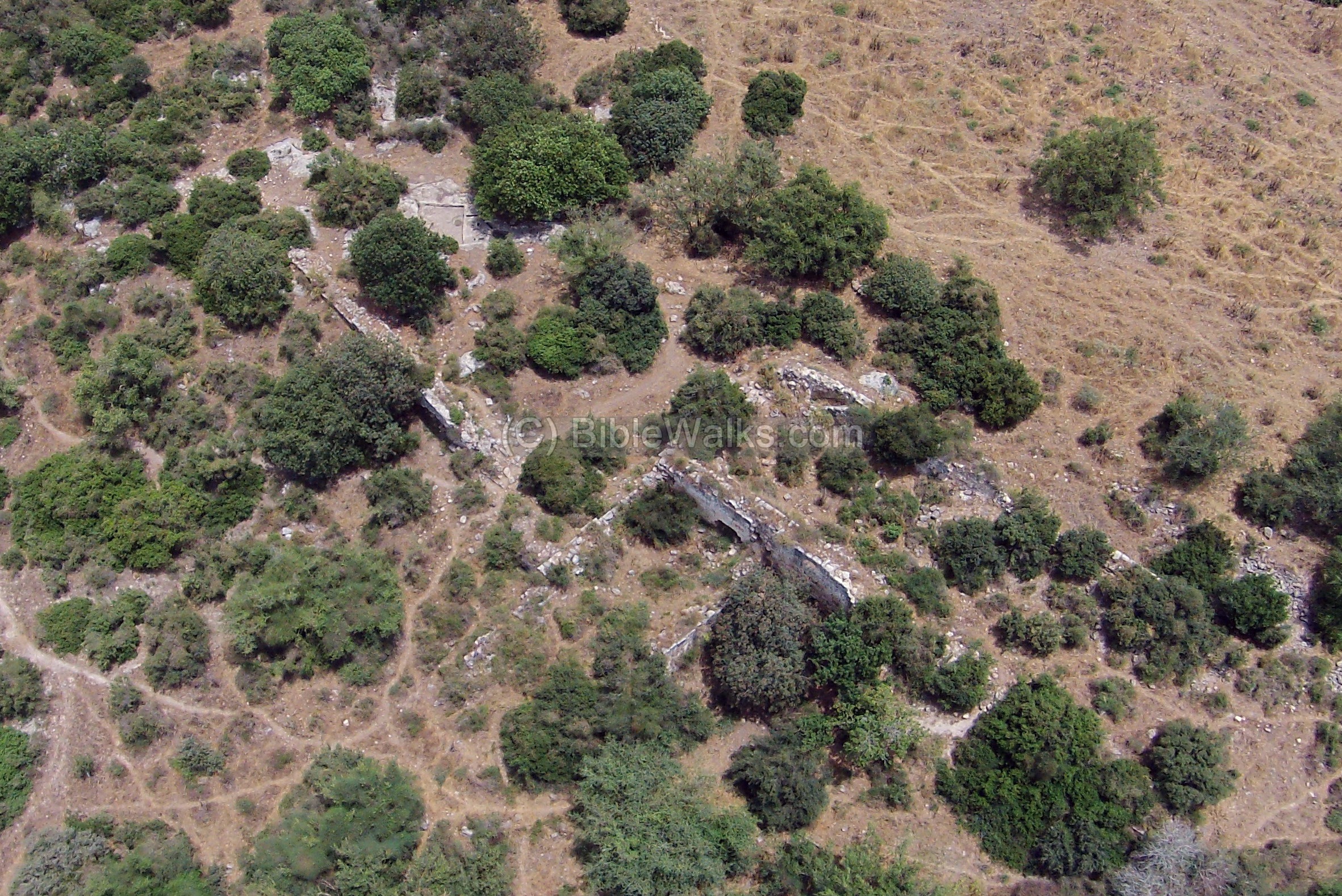
(b) Sugar factory
The Crusaders manufactured sugar in a building and installations that are located close to the road on the west side. Its ruins are seen in this aerial view.
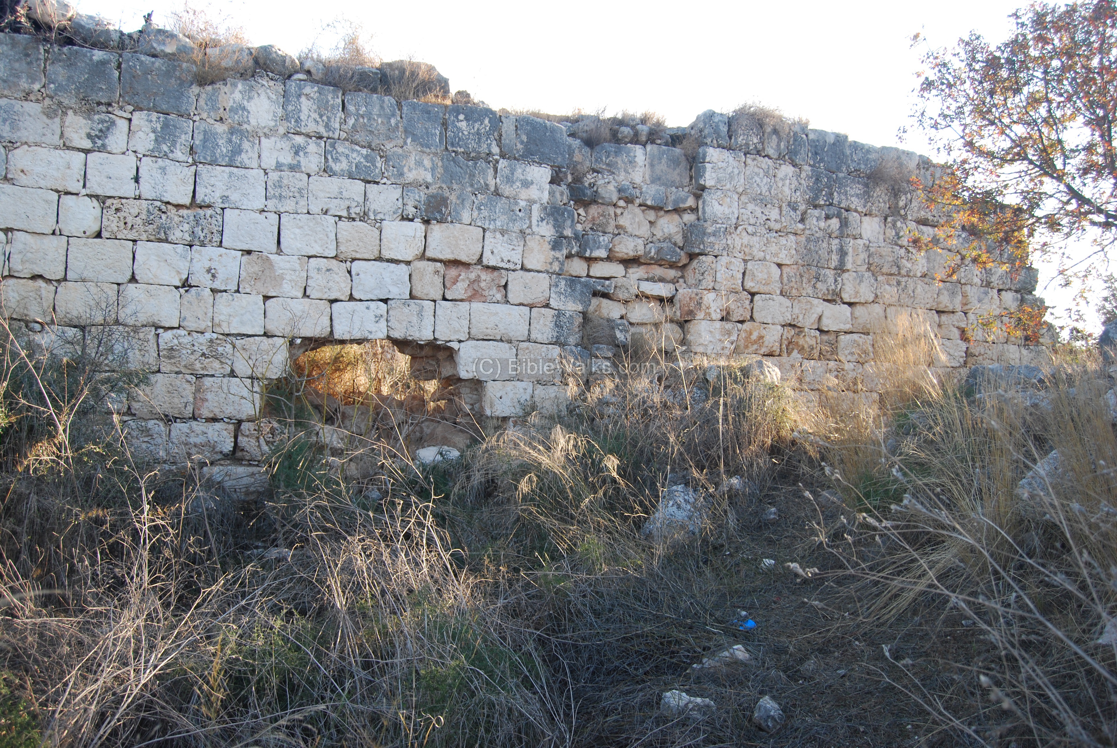
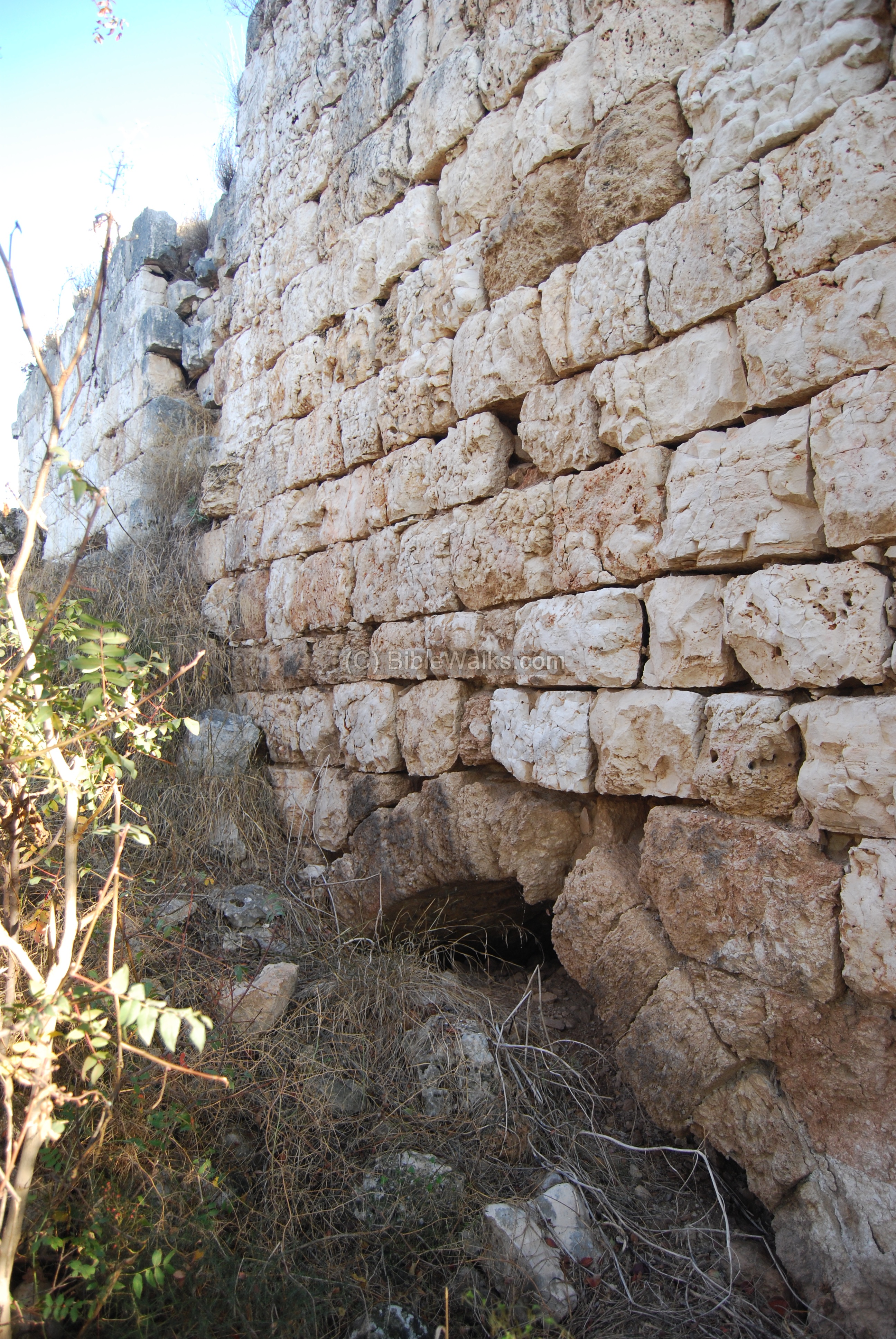
A ground view of a section of the factory is in the following photo. The long (35 x 8M) hall behind the high walls – about 10M above the original surface – contained a number of furnaces that boiled the water together with the sugar cane juice.
The sugar canes were grown in the valley of the Kziv creek and brought to the factory. Then they were chopped, smashed, boiled, then poured into ceramic cones. During the cooling the juice would crystallize into sugar, and then packaged and sold.
This is one of the arches that lead to a furnace, located on the north side. It was used to keep the fire boiling the water.
This is a view from the west, where the furnaces were located.
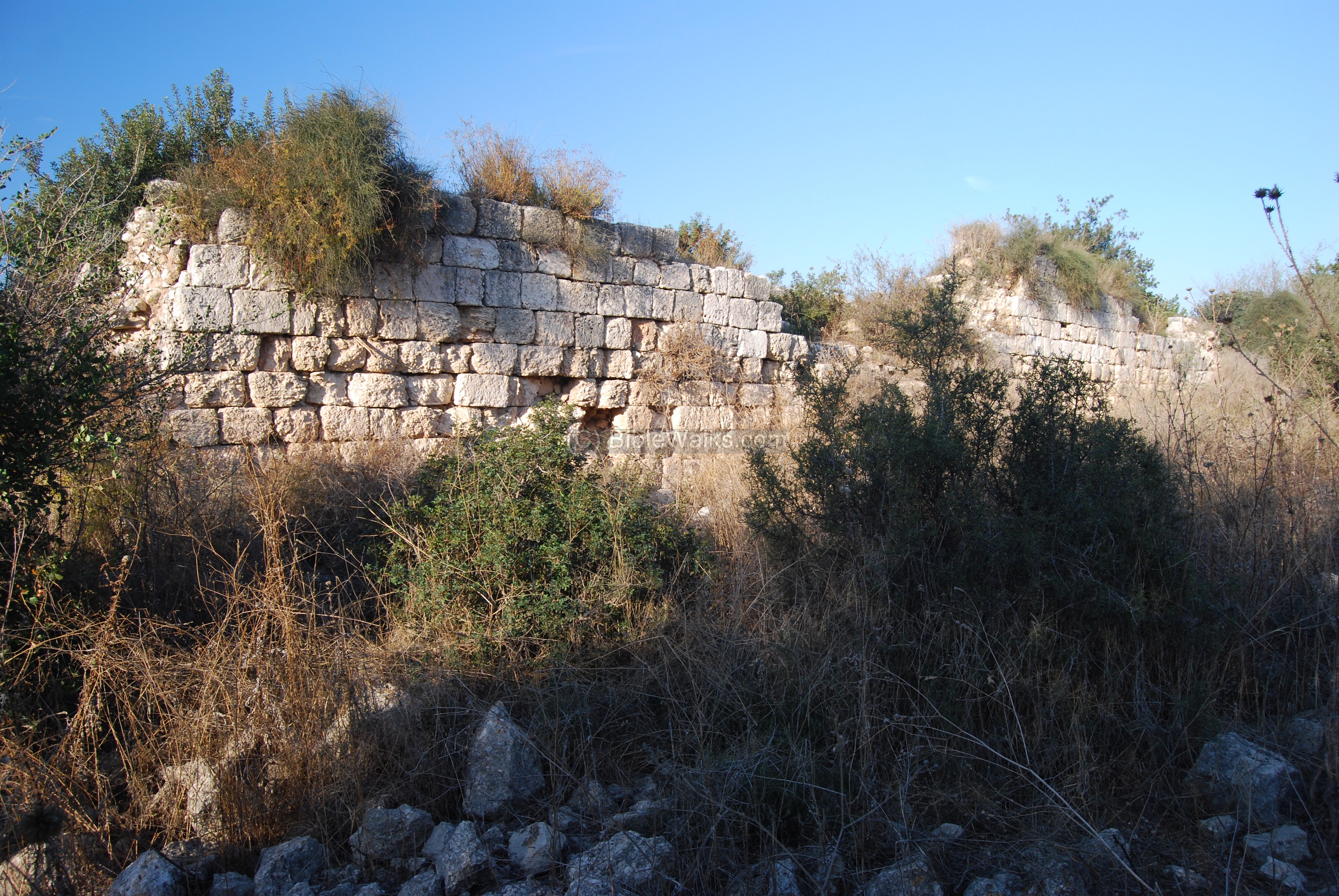
A view of the southern wall. Before the wall is an underground cellar.
The water used in the sugar production process was fetched from an aqueduct that entered on the side of the north wall – which extends 5M from the main hall. The photo below shows the base of the aqueduct close to its entrance to the north wall.
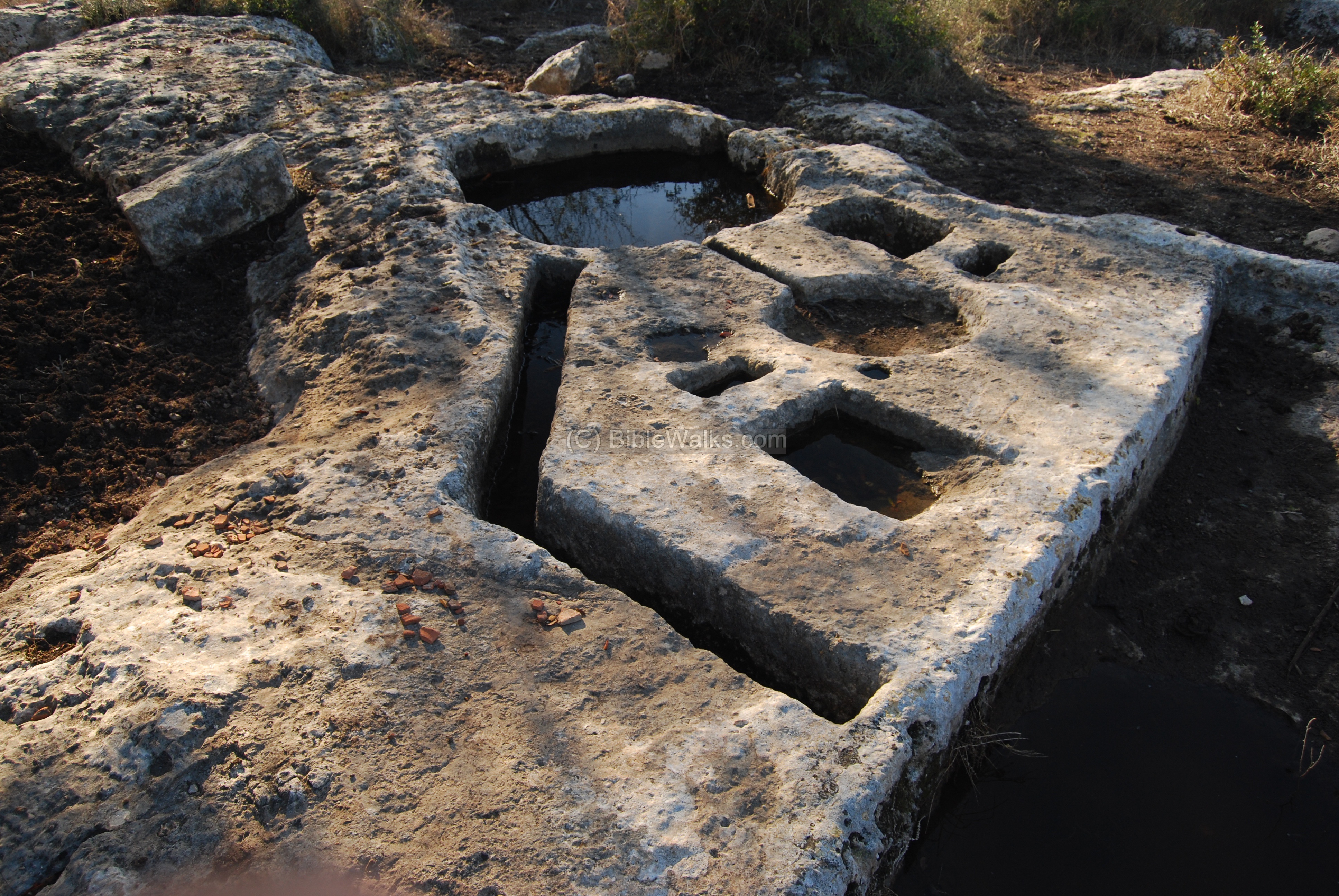
(c) Press base
Part of the sugar factory process was a secondary crushing installation, where the crushed canes were brought for further extraction of the juice. It included a square shallow pool (7cm deep, 0.9 x 1M) and a base for the lever and screw behind the pool. The pool held the extracted juice after it was pressed out of the crushed cranes.

At the side of the pool is the central press-bed, which was used to crush the sugar canes and extract their juice. The installation was based on a lever and screw direct pressure device. The base of the device, called the Manot-type press, was cut into the rock. The central press base leads via a channel (10cm wide ) to a collecting vat (60cm diameter). Two square holes (25cm wide, 45cm deep) are cut on each side and were bases for the wooden beams.
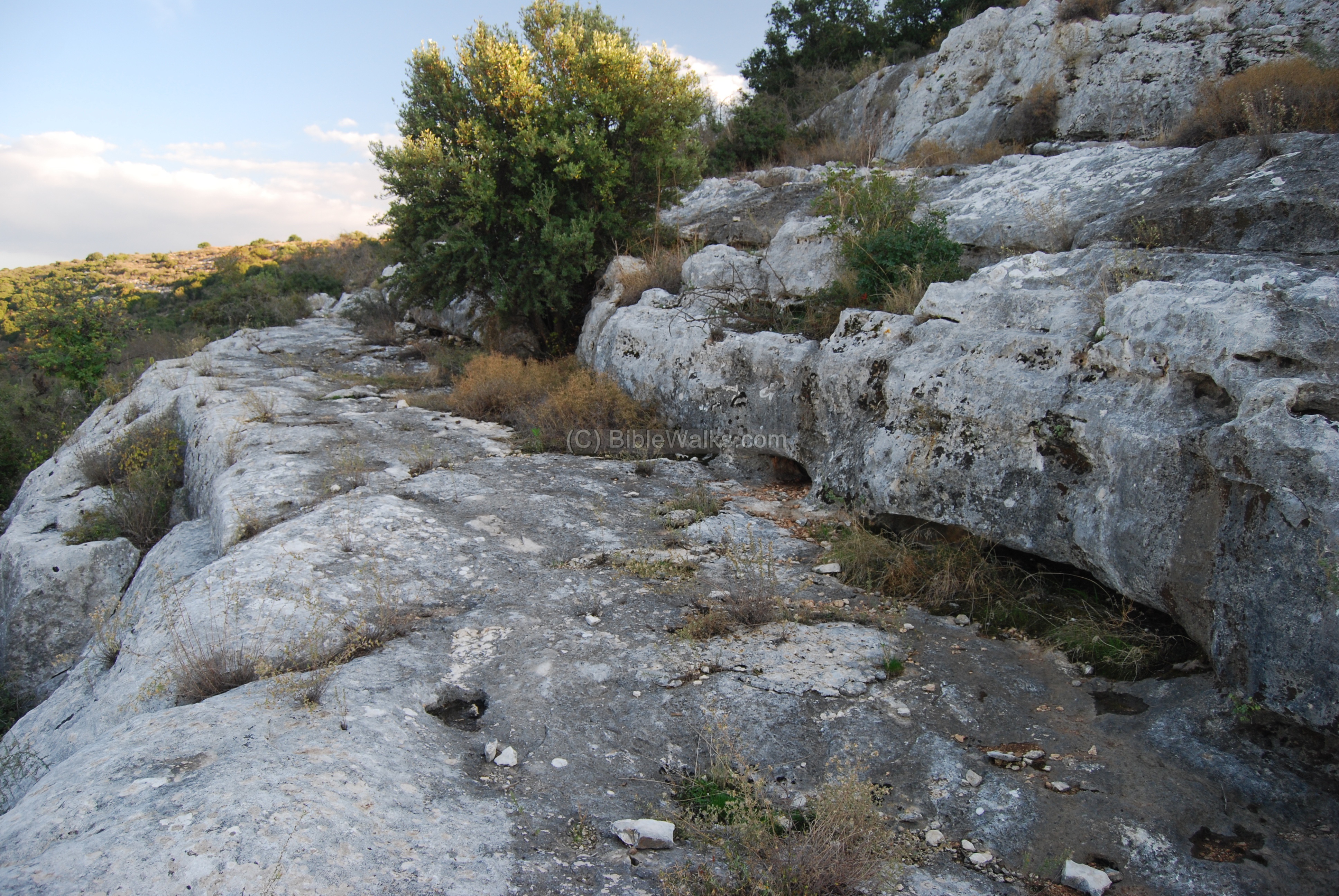
Nearby are remains of an ancient stone quarry, as seen in the foreground of the photo below.
Most of the site is hidden in a dense bush area.
(d) Quarry and tomb
North-east to lower Manot, along the south side of the Kziv creek, is an ancient stone quarry. This may have been one of the occupations of the residents of Manot. In this quarry there are agriculture installations cut into the rock, such as a winepress.
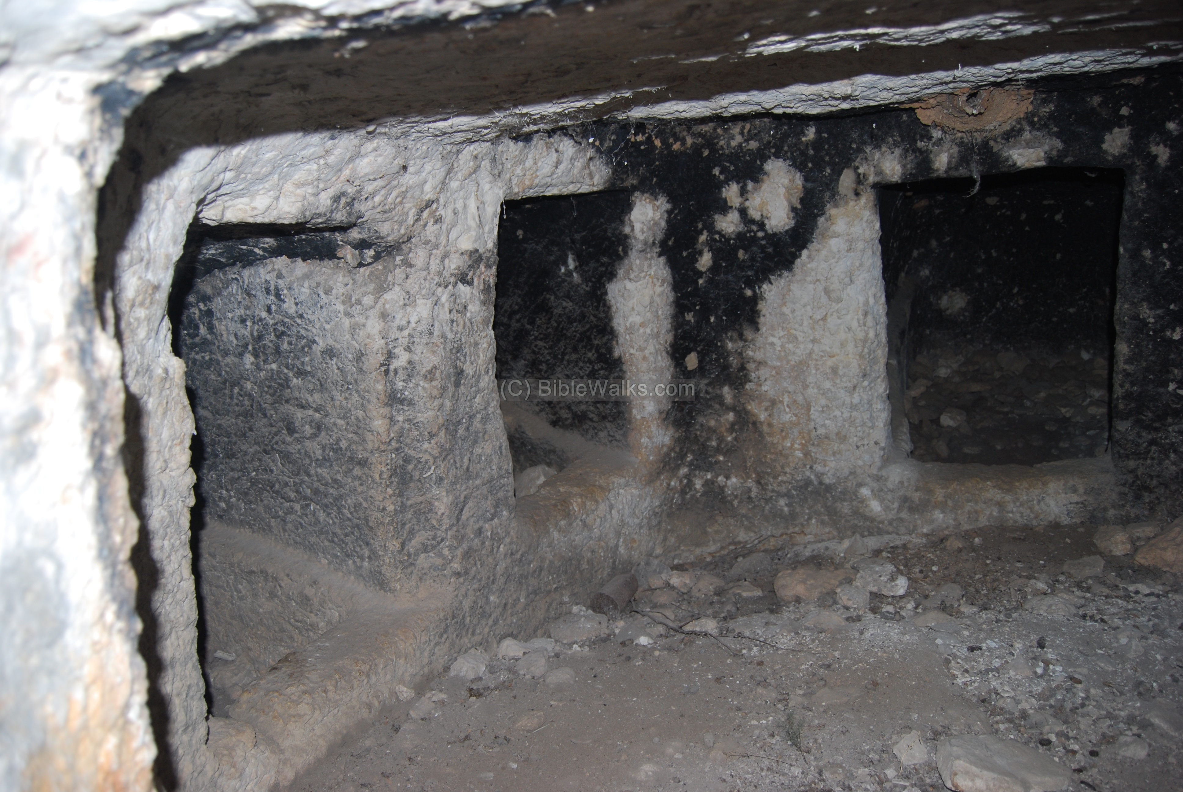
There are also rock-hewn tombs located in some parts of the quarry, some of them yet unexcavated – such as these ones seen on the right side.
One of the tombs are seen in the photo below. It has a square entrance with a arched recess around it.

Three steps lead into the square burial chamber. Inside are 5 burial cells.
Another set of caves are located closer to the road, near the ancient winepress (which is located in the top right side). One of these caves is seen below, hidden in the center below the bush. The grooves in the rock, on both sides of the cave shaft, were used as a diversion channel to prevent the rainwater from flooding the cave.

(e) Winepress
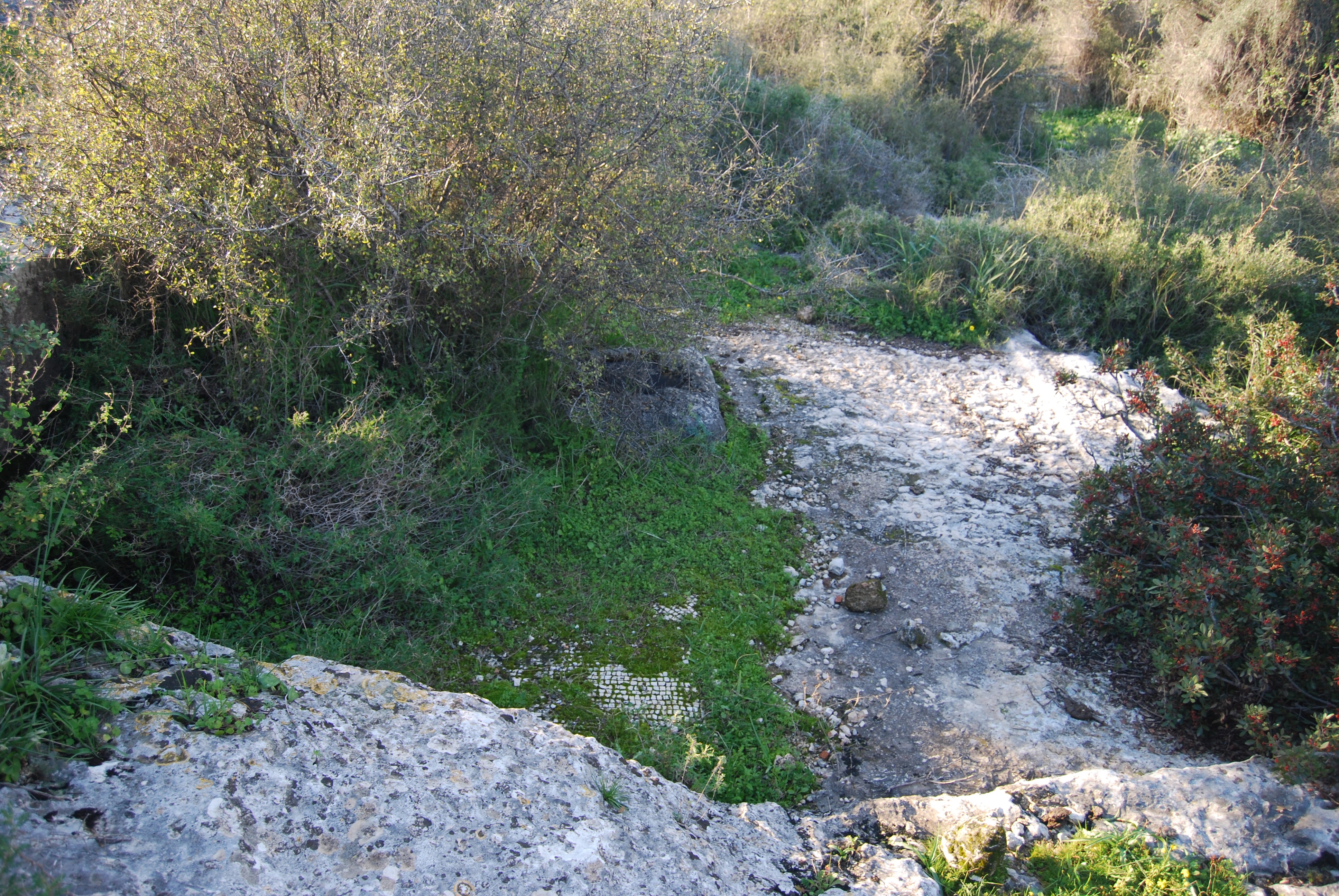
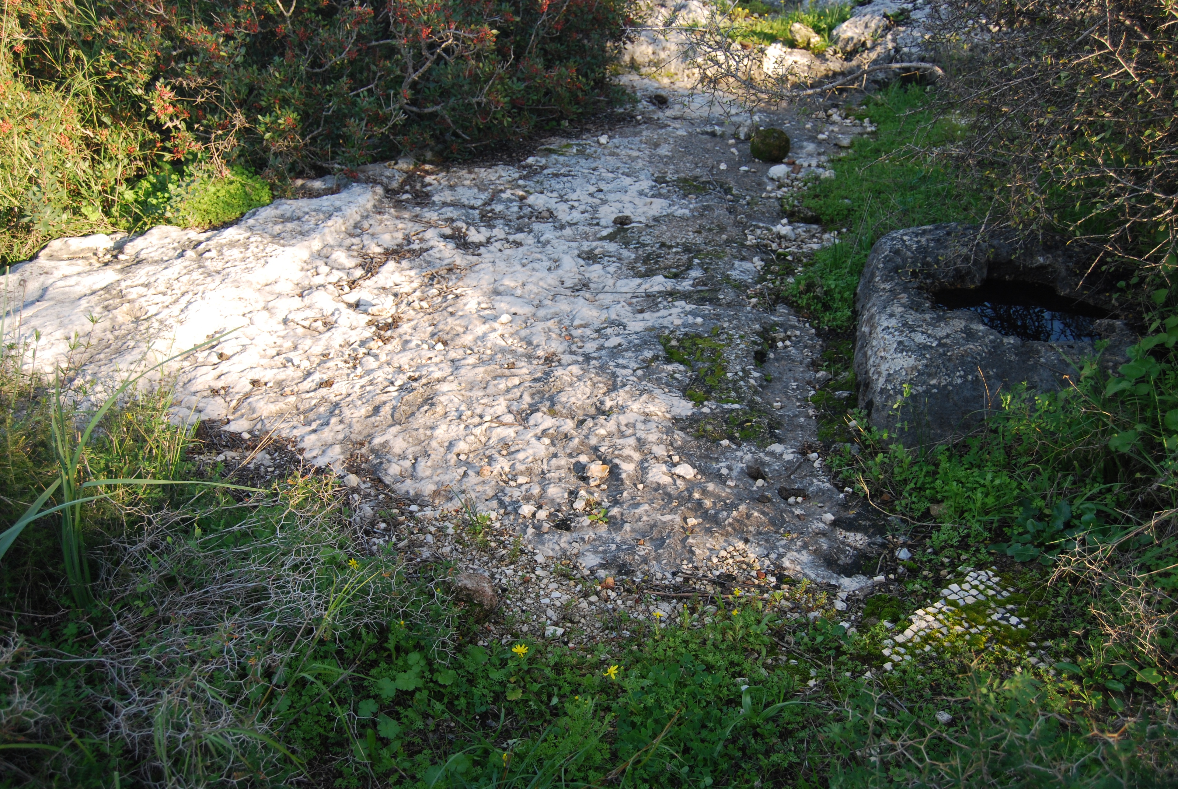
Just south to the road to new Avdon, and 50M west of the ancient aqueduct and tombs, is a large rock-hewn winepress. The treading floor (pressing platform of the winery) is a 4x4m cavity cut into the rock, and covered with mosaic stones, as seen below. There is also a square collecting vat (2.6m x 2.6m) with wide ledge cut into the side of the collecting vat.
Another view of the winepress, from the west side, is seen below.
(f) Aqueduct
Through the quarry, 0.5KM north-east to the site of lower Manot and just above the road to Avdon, is a long groove which is cut in the rock along the edge of the cliff.
This was part of an ancient aqueduct, which may be related to the water mill that was located at its edge. It may have also been a part of the water supply for the Manot – either for the village or for the sugar factory.
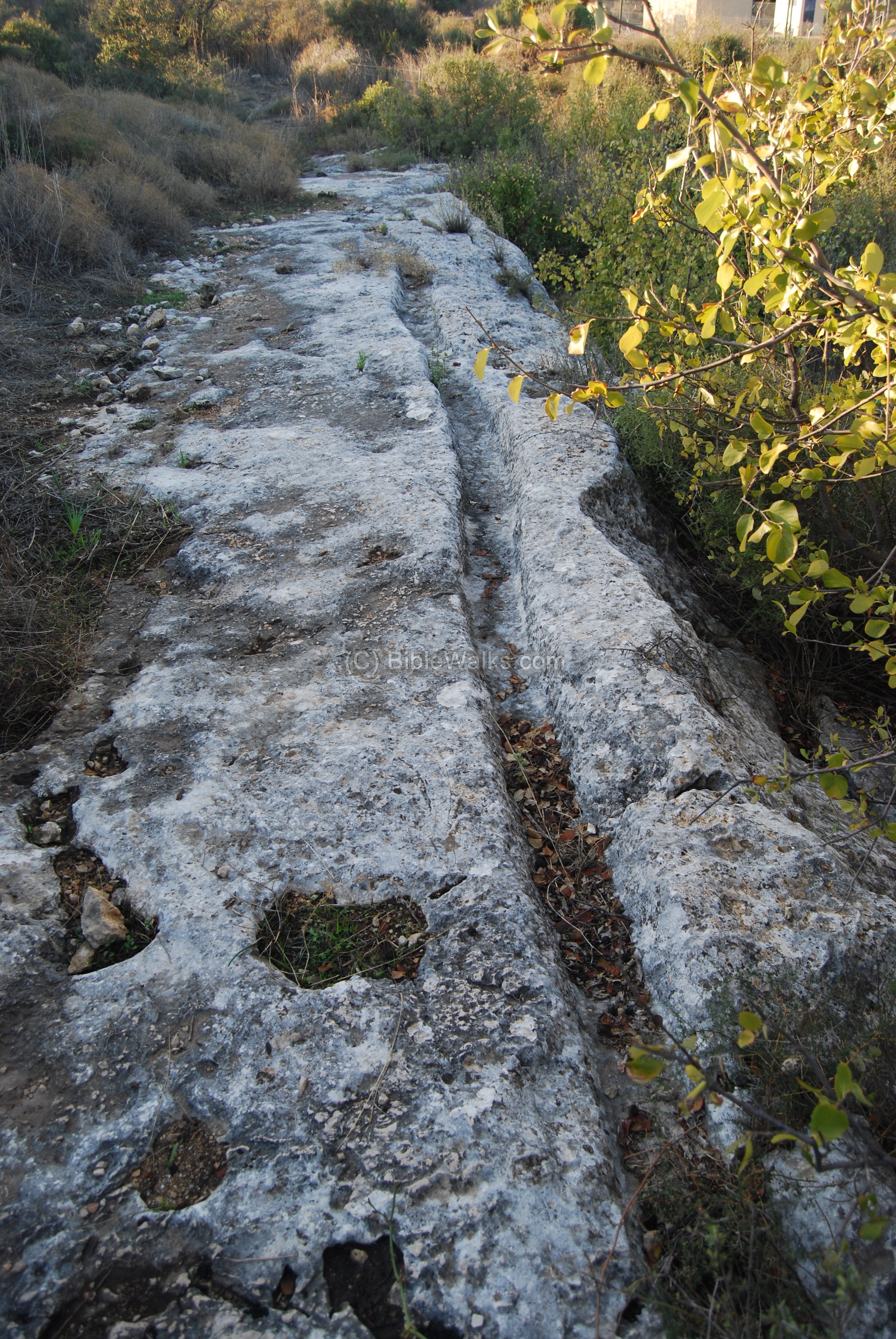
Another section of the aqueduct is seen in the photo below. There are other parts of the aqueduct further east – 1.2KM upstream the Kziv creek.
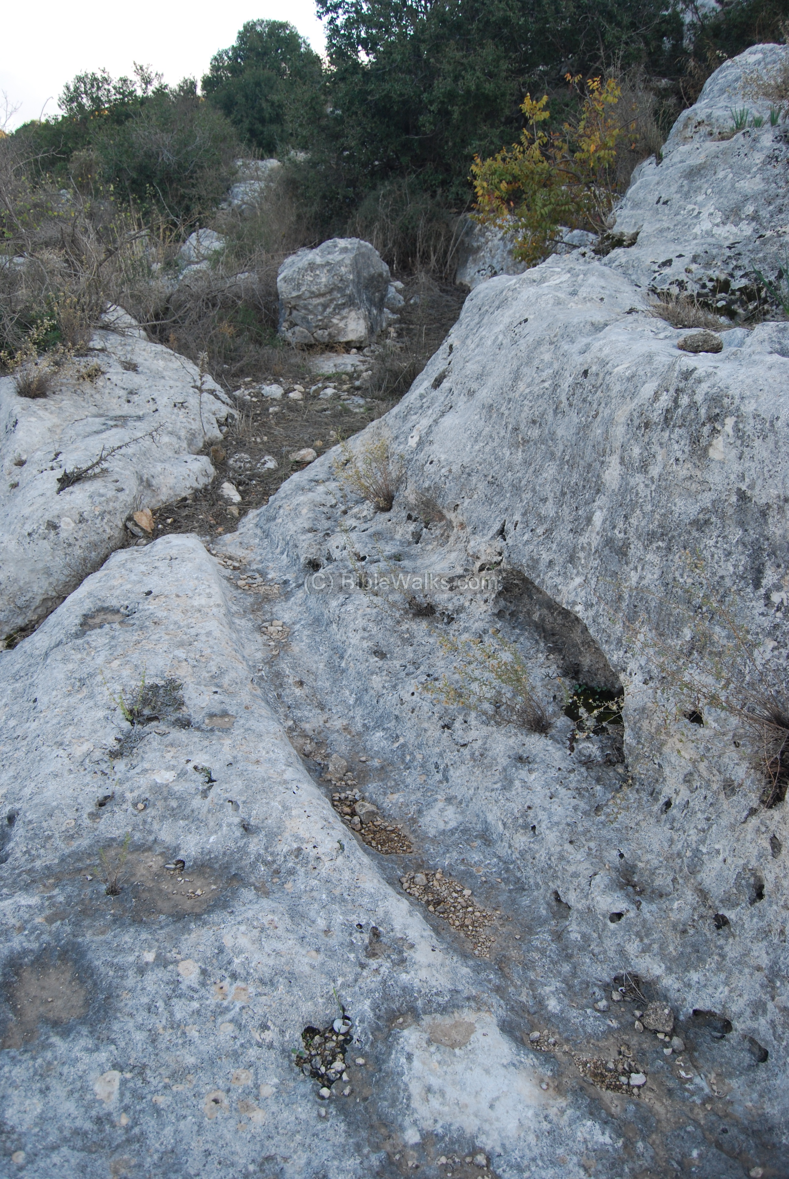
An aerial quadcopter view from the north side is seen in the following photo. The route of the aqueduct can be seen following the slope of the rocks towards the right (west) side.

History of Sugar:
Sugar was not known in the Biblical world. At those times honey was the major sweetener, and is mentioned in many places in the Bible.
Sugar was imported from the east only starting at the 8th century AD by Arab merchants. The Crusaders learnt about the sugar canes and the production secrets in the 11th century in Lebanon, and started to produce it themselves as a source of income. The sugar industry was mainly managed by the Knights order of Hospitallers, while the Knights order of Templars managed the flour business in the Holy land. The products were shipped from the port of Acre to Europe. In the excavations of Acre a collection of sugar instruments and vessels were exposed in one of the rooms.
Following the fall of the Crusaders Kingdom, sugar plants were also operated by the Mamelukes. One sugar processing was unearthed in the Crusader citadel in Beit Shean, and in Manot. Edna Stern has listed at least 43 sites in Israel that may have been sugar factories during the Crusaders/Mameluke periods.
The import of sugar to Europe made it popular, but it was yet a luxury product due to its high prices. Only within several centuries it expanded to mass production, becoming more affordable.
* Reference: History of sugar.
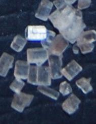
Sugar crystals
Etymology (behind the name):
- Manot – modern name, based on the Crusaders name. In Hebrew it means “servings”, but in this case it was a Hebraization of the Crusader name in order to preserve the ancient name.
- Manueth, Manuet – the Crusader’s name of the fortified farm.
- Boubarieh, Baubariehm Bobriyeh – other names, but they probably refer to Khirbet Suggar which is located near Manot.
- Khirbet (Arabic) , Khurvah /Horvah/ Horbah (Hebrew)- a ruined site. Biblical references: Leviticus 26,31: “And I will make your cities waste,…”. Isaiah 44, 26: “…and I will raise up the decayed places thereof.
References:
Arch. Survey of Israel – Hanita Map (2) – R. Frankel & N. Getzov [1997] ,
-
-
site # 160.2: H. Manot Tachtit
-
site: #161.2: H. Manot
-
site #140.2: Ashlar Quarries and rock-hewn tombs
-
site #159.2: Abu edh Dhabab – traces of a settlement Early Bronze to Persian period (20 dunam)
-
-
Burial caves excavation – Khirbet Manawat, Avi’am and Stern [1991]
-
Manot Sugar factory conservation project
-
References in BibleWalks pages:
-
Crusaders sugar industry – IAA article
- A Note on Archaeological Evidence for Sugar Production in the Middle Islamic Periods in Bilad al-Sham (MSR VIII.2, 2004)-Burke, Katherine Strange
-
GilGal in the Sharon – another Crusaders sugar factory
-
Winepresses – BibleWalks info page
* Internal:
-
Quadcopter Aerial views – collection of Biblical sites from the air
BibleWalks.com – walk with us through the sites of the Holy Land
Khirbet Masref <<<–previous Upper Galilee site—<<<All Sites>>>—next—>>> Khirbet Suggar
This page was last updated on Dec 28, 2024 (add sugar industry links)
Sponsored links: