Ruins of a late Roman village, located near the upper Jordan river in the fertile valley of BethSaida (Bettiha).
Home > Sites > Golan > Khirbet e-Dikke (ed-Dikke, Dakka, H. Dakar)
Contents:
Background
Location
History
Photos
* Aerial
* Visit
* Mill
* Houses
* Tools
* Jordan
* Horses
* HadNess
Etymology
Links
Background:
Ruins of a late Roman village, located near the upper Jordan river in the fertile valley of BethSaida (Bettiha). A Byzantine period synagogue (dated to the 5th century AD) was excavated here in 1905. Between the ruins is a water-powered flour mill.
Location:
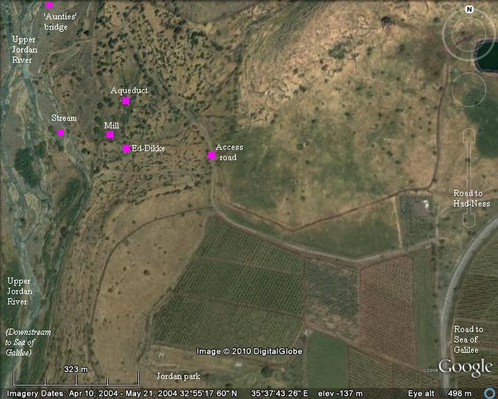
An Google view is shown in the following picture. The site is located on the eastern bank of the upper Jordan river, at a height of -170m (the minus indicates a height under sea level). As seen on the left side, the Jordan river splits here to a dozen smaller streams, which merge at a lower location downstream.
An access road passes near the site, but due to its lousy condition you may consider walking. The road starts from the junction with road #888, 500m north of the Jordan park entrance.
The major points of interest are indicated here on the map.
History:
-
Roman period
During the late Roman period (3rd century AD), a Jewish Synagogue was constructed in the site. The structure was a 2 story Basilica, with an entrance on the west side, and dimensions 15.3 X 11.92M. Its ruins were excavated in 1905 but most of its few remaining stones were relocated in 1968 to the museum in Ein-Gev.
-
Ottoman period
A water-powered flour mill (gristmill) was built in the site, reusing the ancient stones. It was powered by water that were channeled by an aqueduct from a higher point along the river. The type used here was identical to the mills in the nearby Jordan park and in Tell Dan. The water was channeled to a slide, which with its force turned a horizontal wheel turned around a vertical axle. Note that this is not the common vertical-wheel mill in the Holy Land, were the water fell vertically unto a vertical wheel which turned around a horizontal axle.
-
Discovery
In the book titled “Haifa, or Life in Modern Palestine” Laurence Oliphant writes about his tours in the Holy Land. His article was published on February 2, 1885 in the New York “Sun”, with the title “Discovery of an ancient Synagogue”. He tells his readers about reaching the site of e-Dikke with the help of a local Bedouin Sheik, during his quest to find BethSaida. After crossing the Jordan river on his horse, he finds himself standing in front of the ruins of a large structure which initially looked like a Roman temple. The eastern wall of the structure was standing at a height of 9 feet. Inside the structure, around the walls, were benches. Around the ruins he found fragments of lintels and monumental stones which were similar to the grand ancient ruins of Bar’am. The ruins of the village houses covered a small area, but is was nested in a picturesque area (as it is today). Laurence realized it was an ancient Synagogue, and he challenged the archaeologists to come and explore this newly discovered site.
Gottlieb Schumacher, one of the important members of the PEF (Palestine Exploration Fund) survey in the 1880s, indeed researched the site, following up Laurence’s report. After the survey in this site and other nearby ruins, the PEF funded archaeological expeditions and started the actual digging in the sites.
The excavations in e-Dikke were conducted in 1905 by the Germans Heinrich Kohl and Carl Watzinger. They also excavated the nearby sites of Capernaum and Em-Hakshatot.
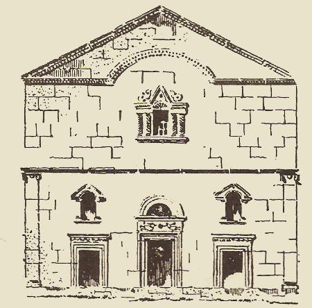
Reconstruction of the ancient Synagogue by Kohl & Watzinger, dated to the 5th century AD
-
Modern times
Since the 1905 excavations, most of the stones in the synagogue were stolen. Some of the stones were transferred to the museum at Ein-Gev, while others are on display at the Biblical garden in Yad Hashmona (credit: Adam Fochte), as seen here:
Remains of the ancient Synagogue, on display in Yad Hashmona (photo by Adam Fochte)
The small Syrian village at E-Dikke was evacuated after the 6 day war (1967), and since then the area around the ruins is a grazing pasture. The site is open to the public although it is not easily accessible. It is located inside a nature reserve (Jordan Park).
Photos :
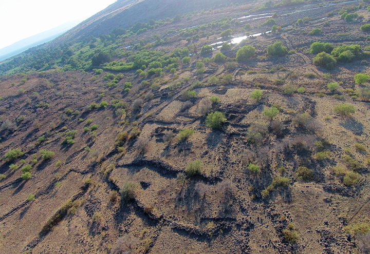
(a) Aerial view:
An aerial view above the site, as captured from a quad copter, is seen here from the east side. The upper Jordan river passes on the west side of the site, and flows to the Sea of Galilee which is seen in the far left background.
Click on the photos to view in higher resolution…
(b) Visit the site:
The site is located on the western foothills of the Golan, along the valley of the upper Jordan river.
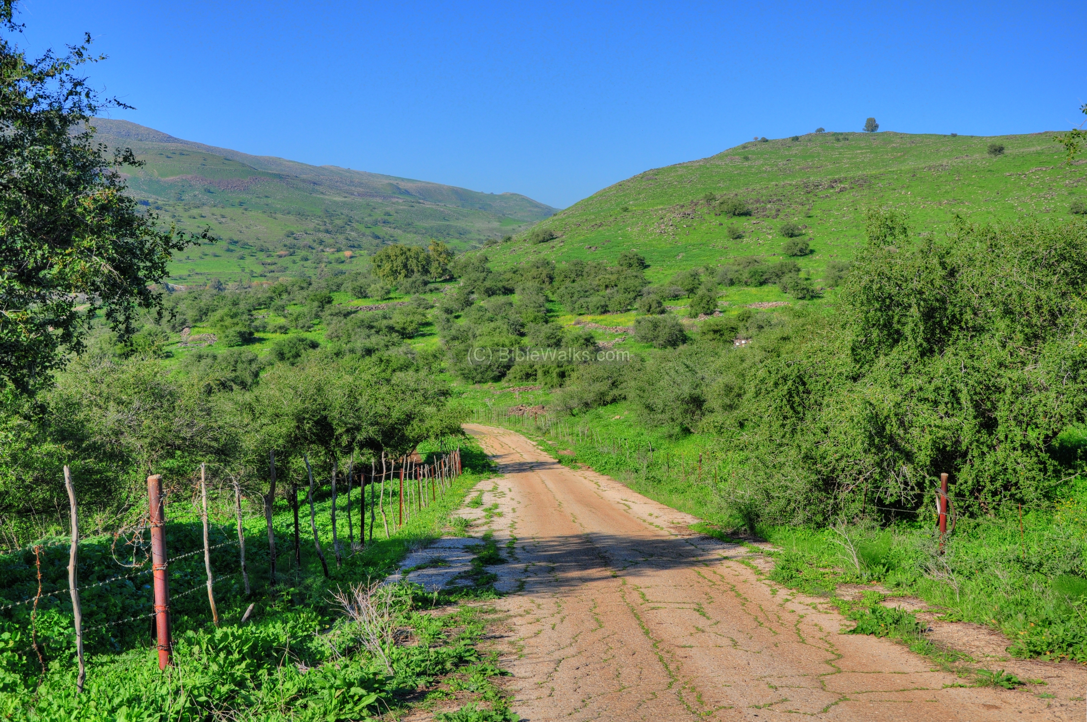
The next picture shows the paved road which passes the site on its eastern side. It is pocketed and uneven, and not recommended for low vehicles. Its only a 10 minute walk from the main road, so why not walk?…
The road continues to the river 1KM north of e-Dikke, where the ruins of an old bridge (“Hadodot” – the aunties) once was used to cross the river to the western bank and then up to Moshav Almagor, located on the high hill 200m above the river. Al-magor (=”without fear”) is a former Nahal settlement which was established in 1965. It is located on Tel el-Motila (Muttila, also “Givat Kela”), where in May 1951 a bloody battle between the Syrians and the IDF resulted in 41 dead Israeli soldiers.
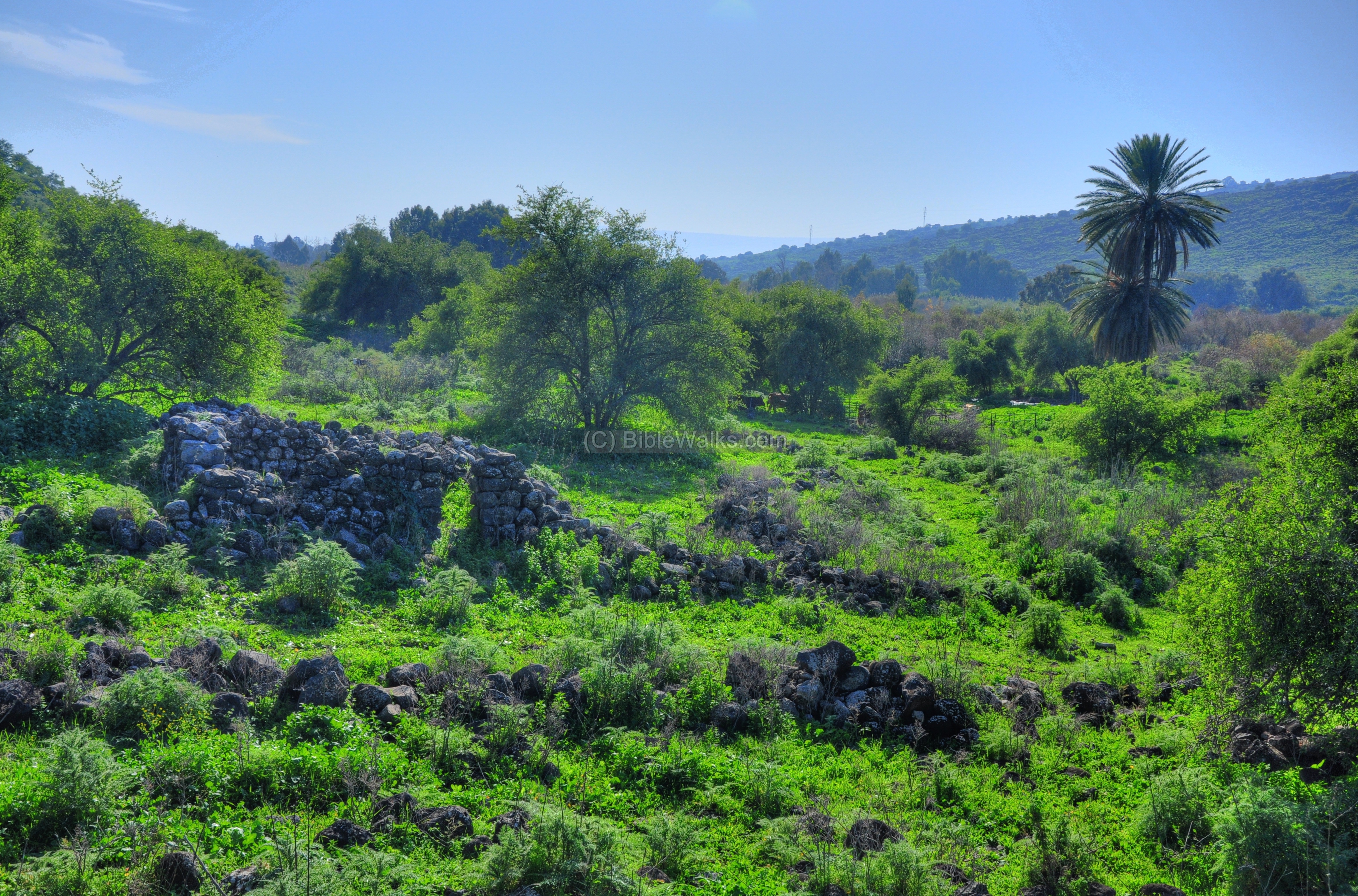
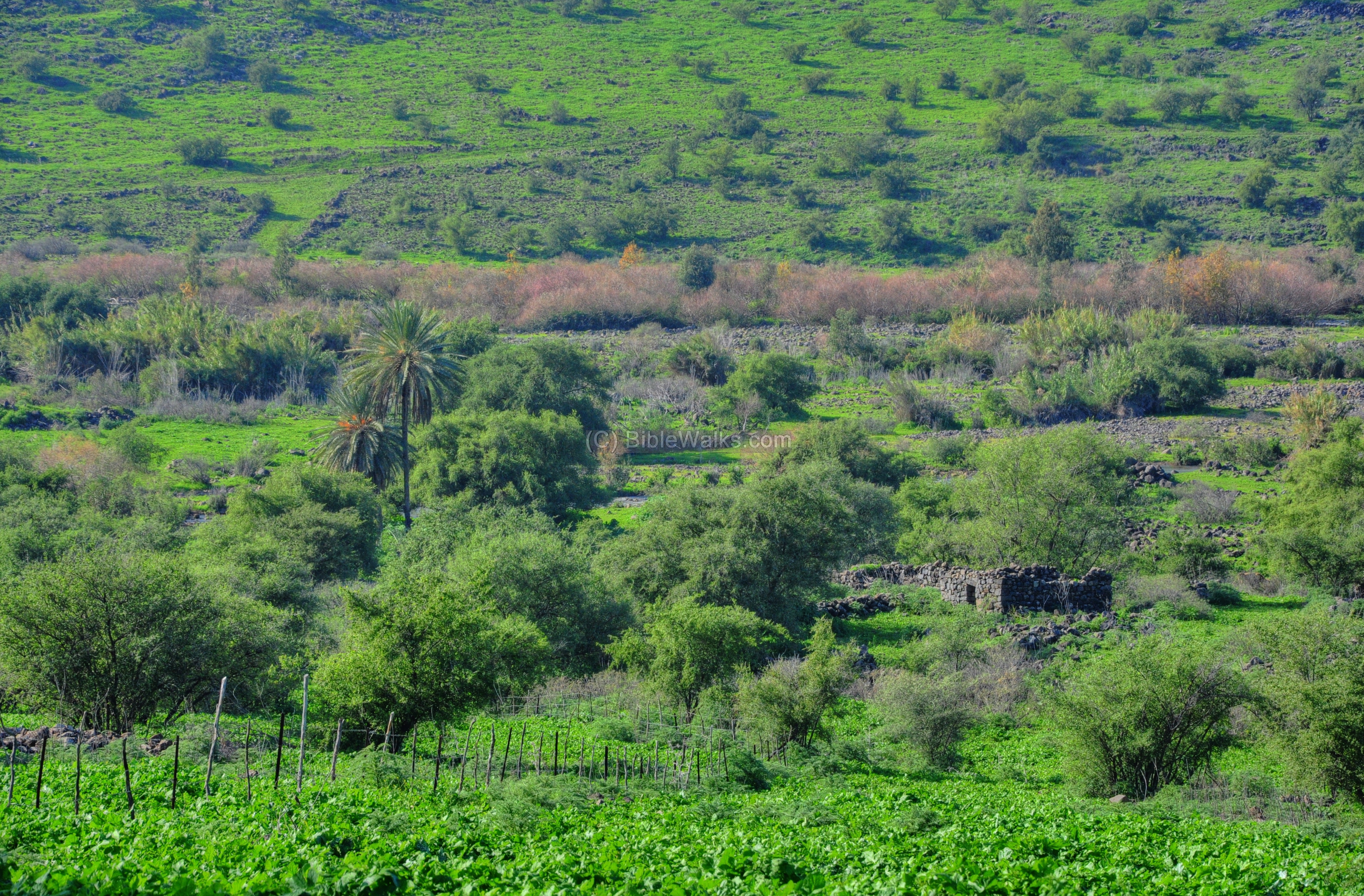
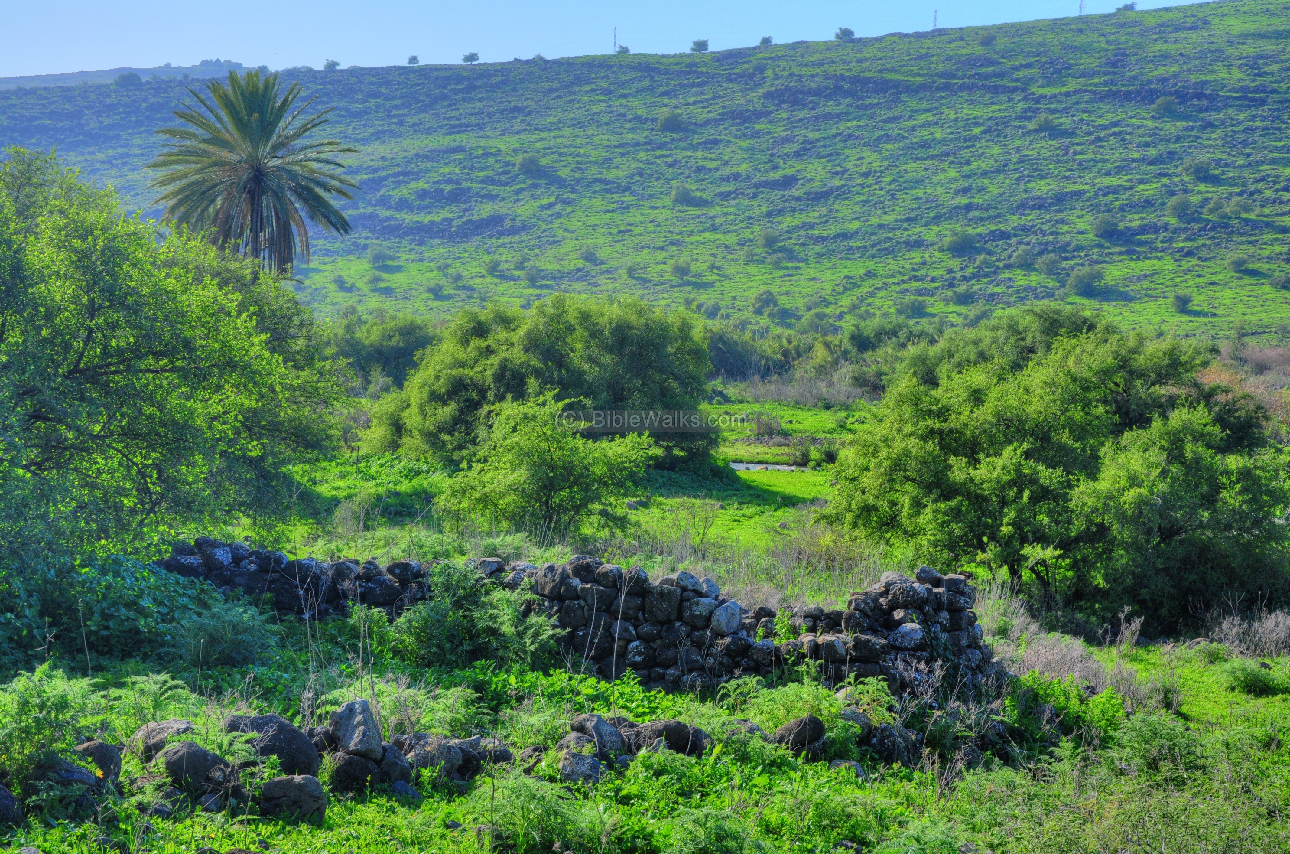
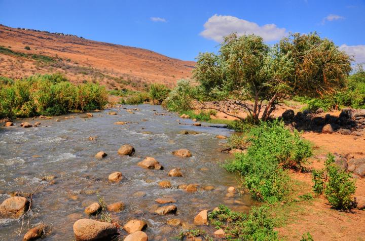
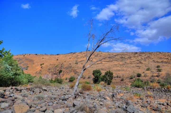
The view below is observed from the access road. In the background, flowing right to left, is the narrow stream of the Jordan river – 4KM before it reaches the Sea of Galilee. A palm tree and one of the ruined houses is in the center of the frame.
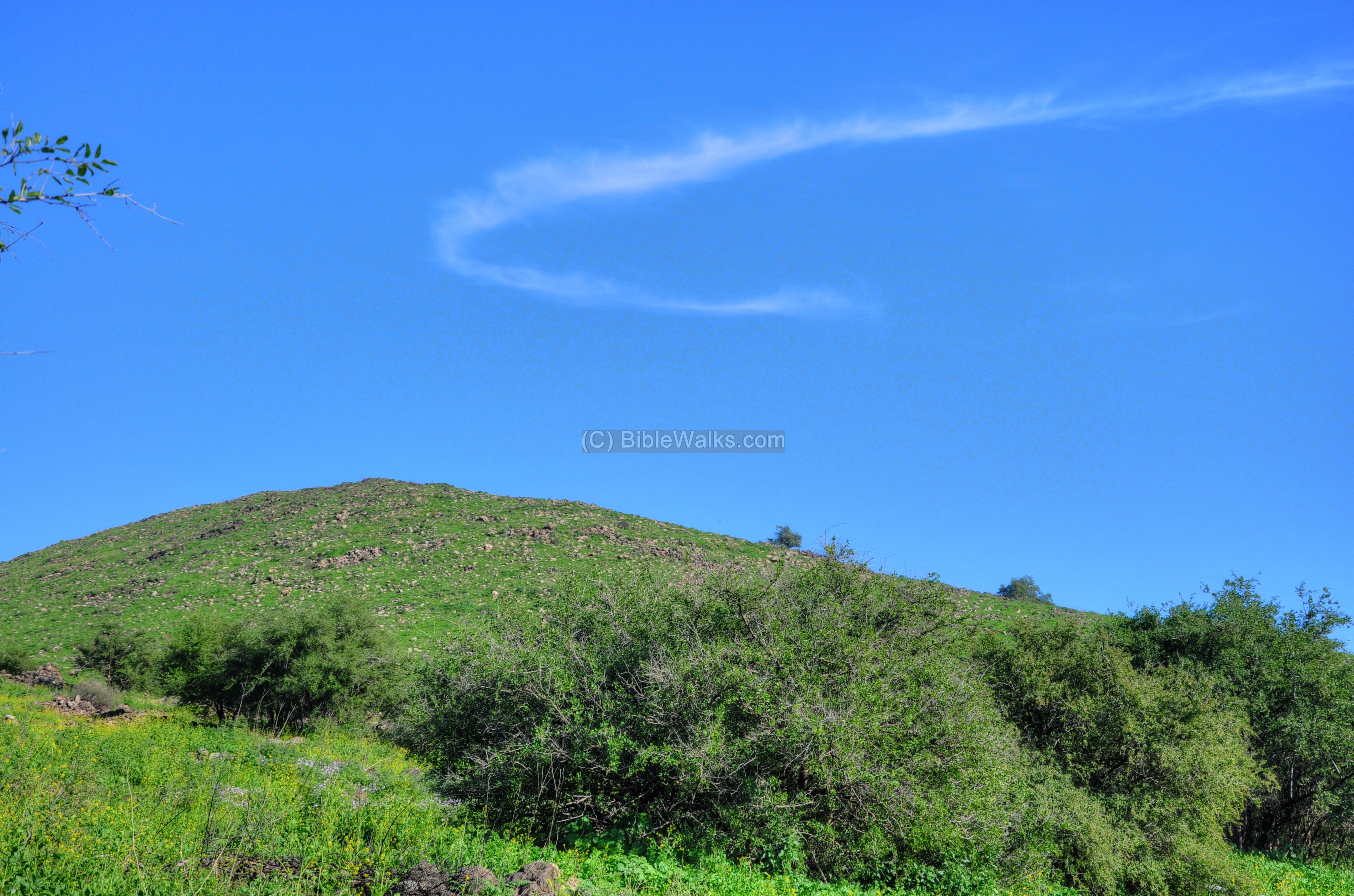
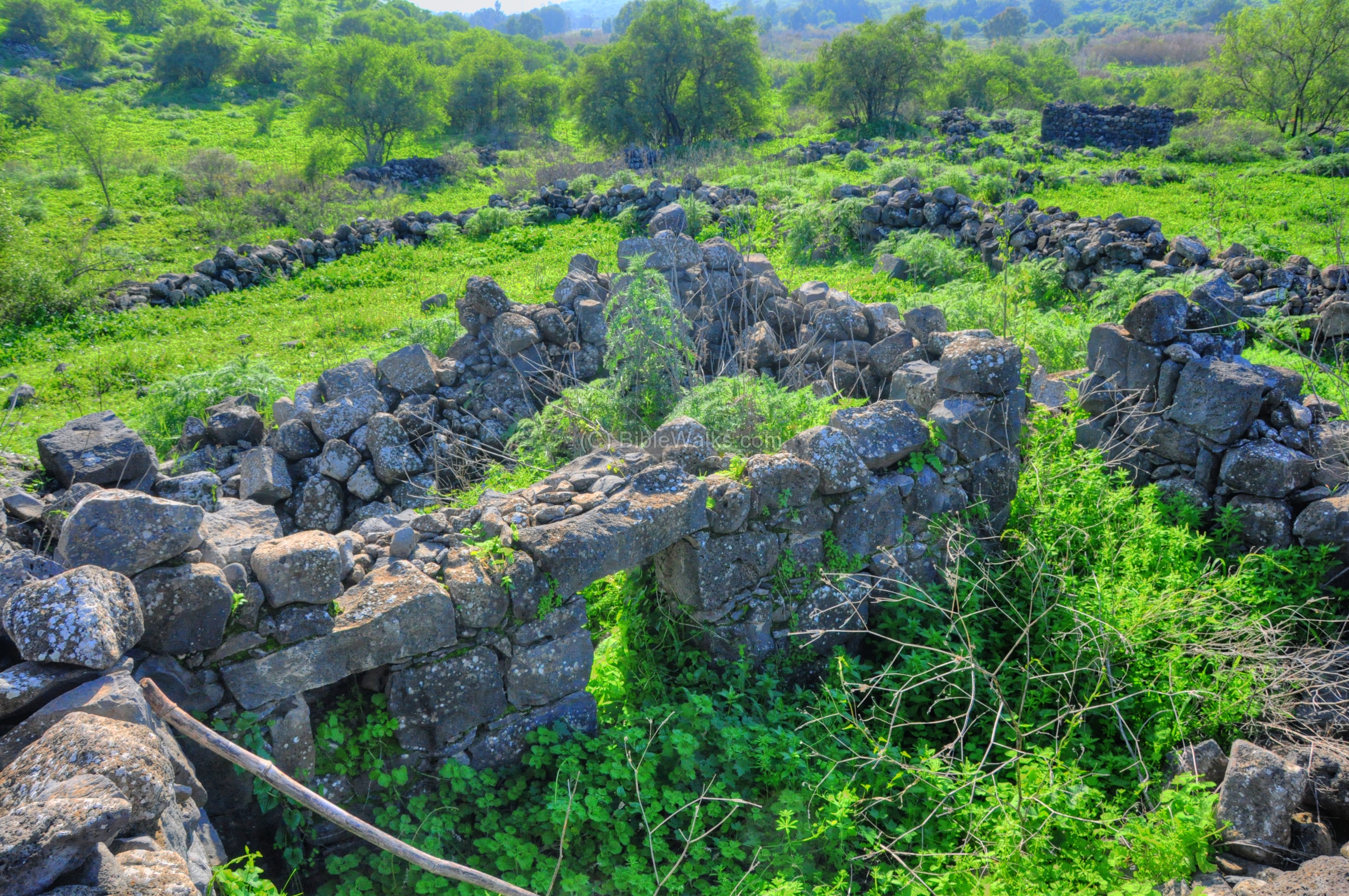
The next photo shows a north view of the valley inside the area of e-Dikke. Traces of its ruins can be seen between the grass and the bushes.
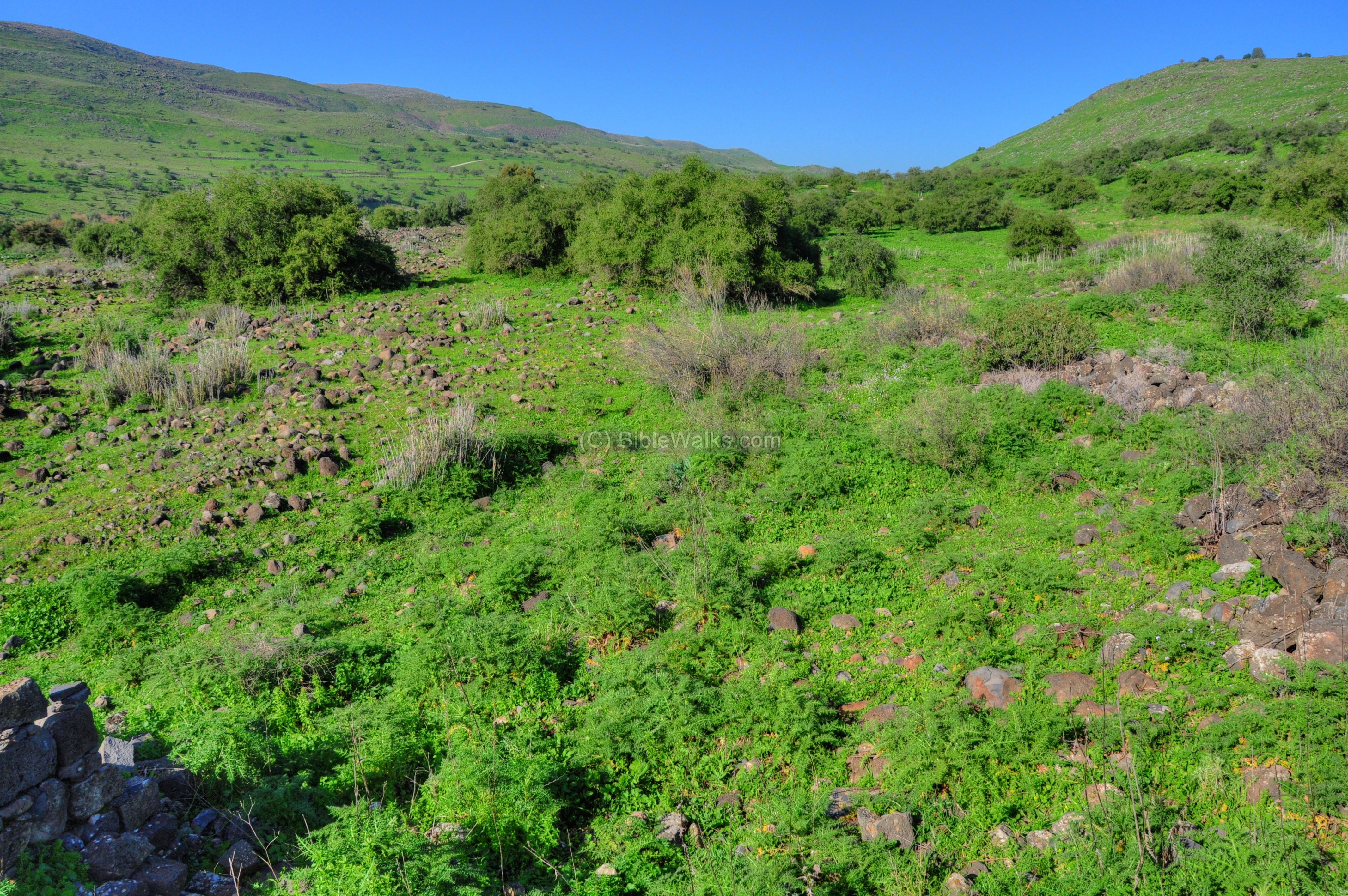
More traces of ruins are visible in the southern view of the site.
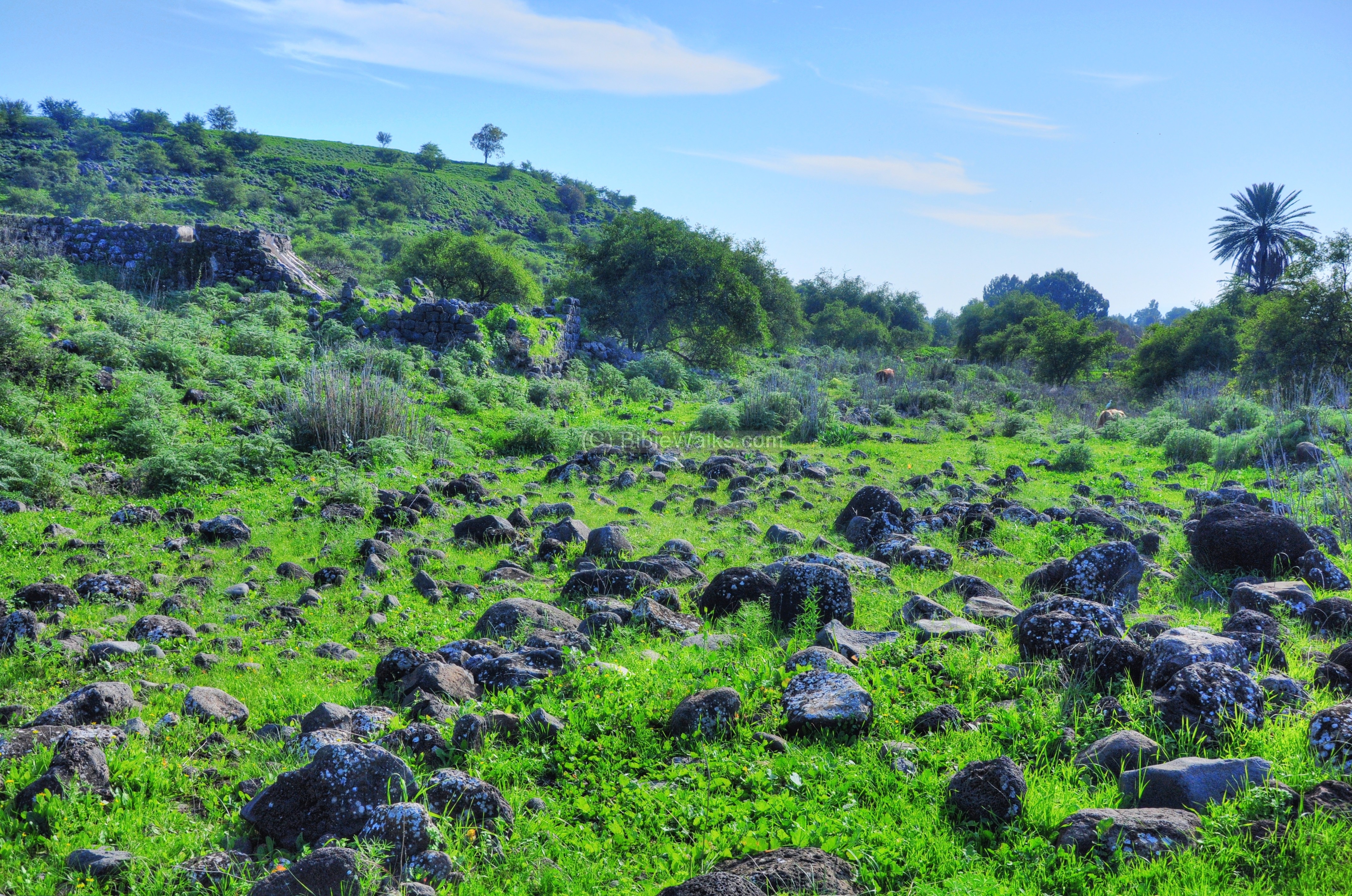
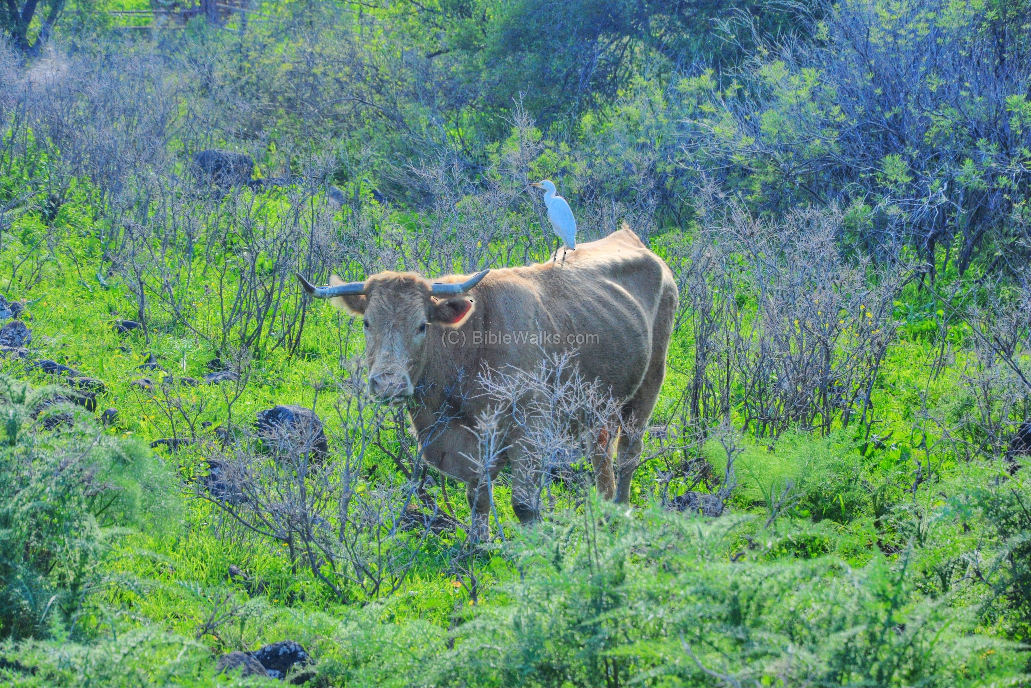
The area around the ruins is a grazing pasture.
(c) Mill:
A water-powered flour mill (gristmill) was built in the site, reusing the ancient stones. It was powered by water that were channeled by an aqueduct from a higher point along the river. The type used here was identical to the mills in the nearby Jordan park and in Tell Dan. The water was channeled to two slides which received water from the pool at the edge of the channel. In each of the slides the force of the water turned a horizontal wheel turned around a vertical axle.
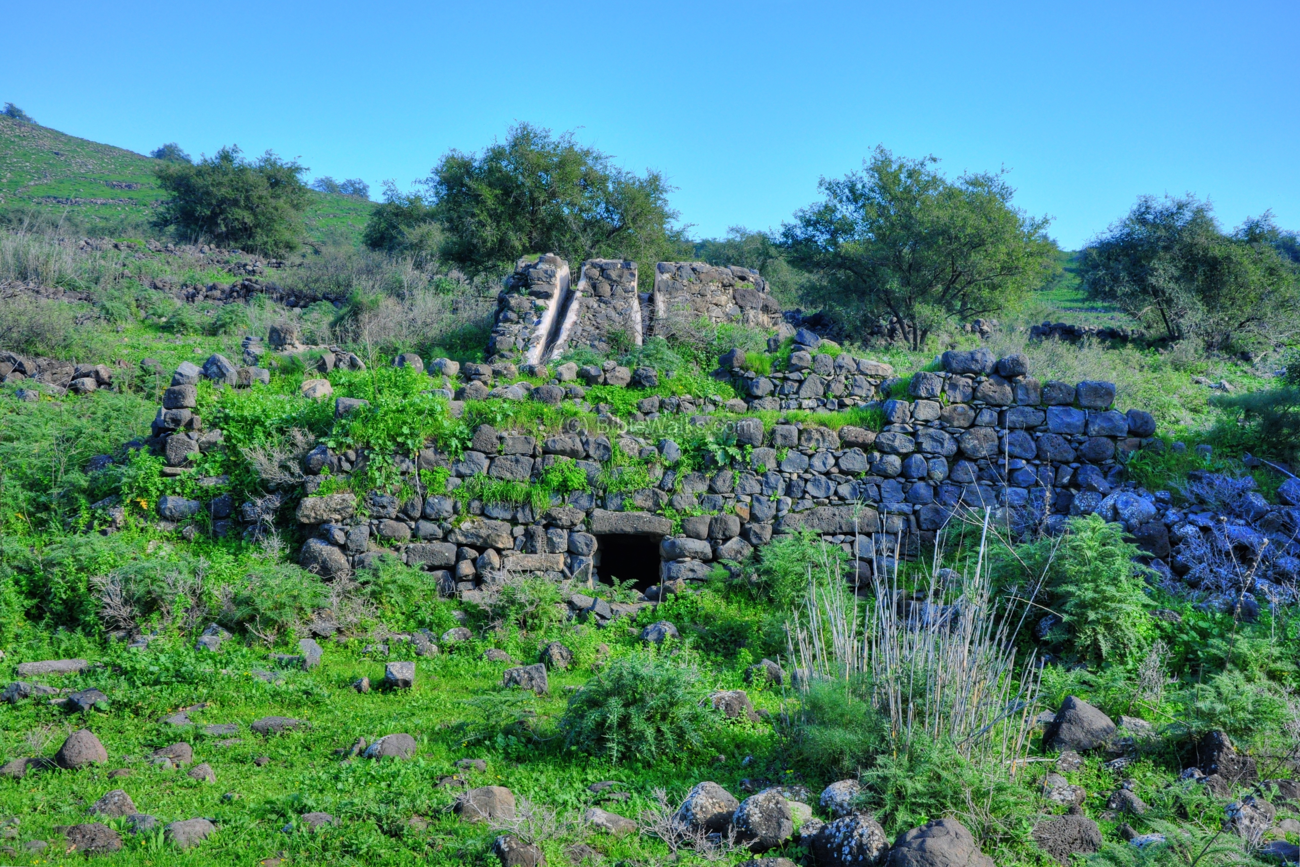
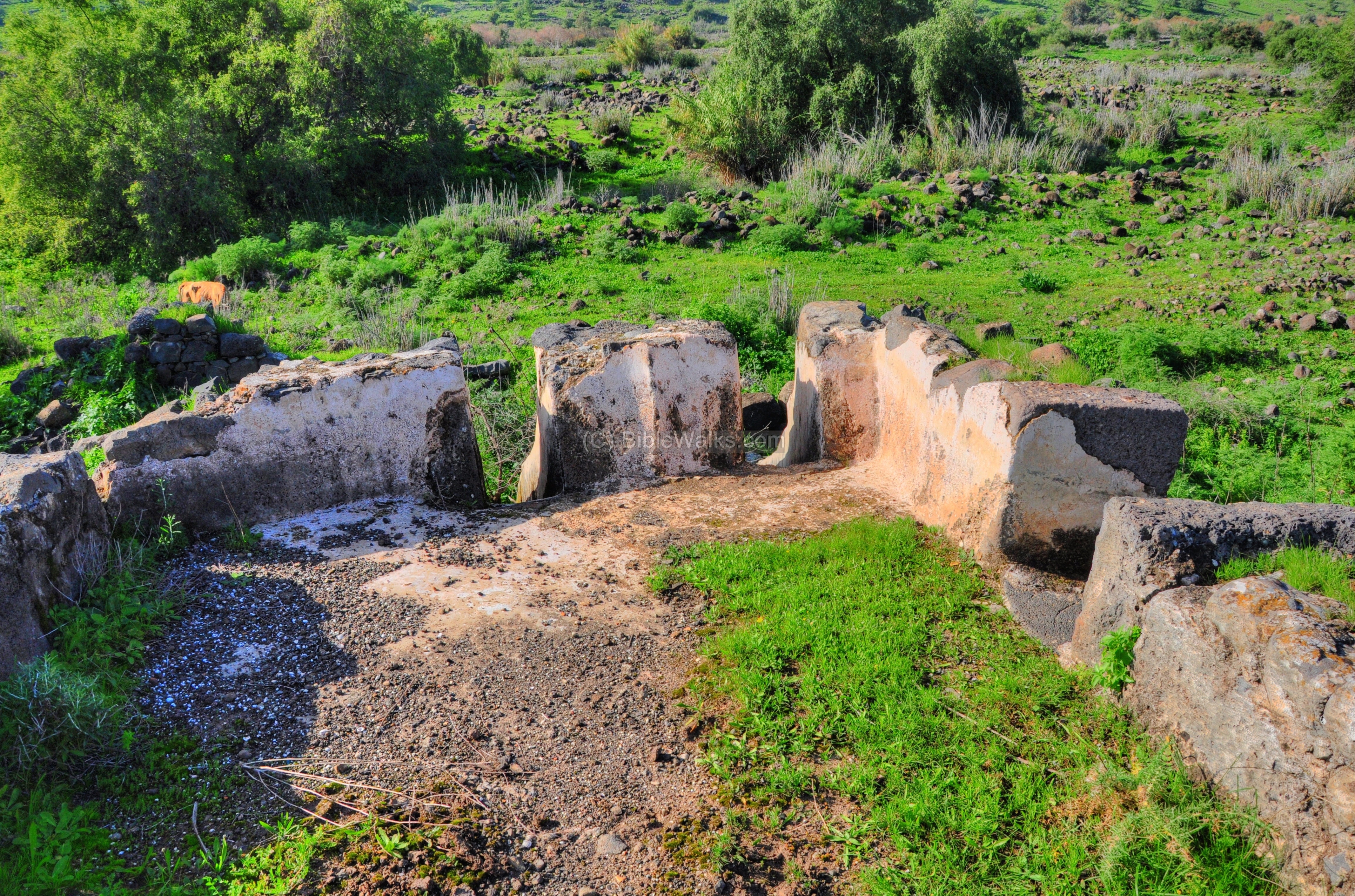
The structure that housed the pair of wheels is shown below. This Ottoman period structure reused the ancient stones. On one of these stones is a relief of the Greek goddess Nike (“victory”), although we couldn’t find it.
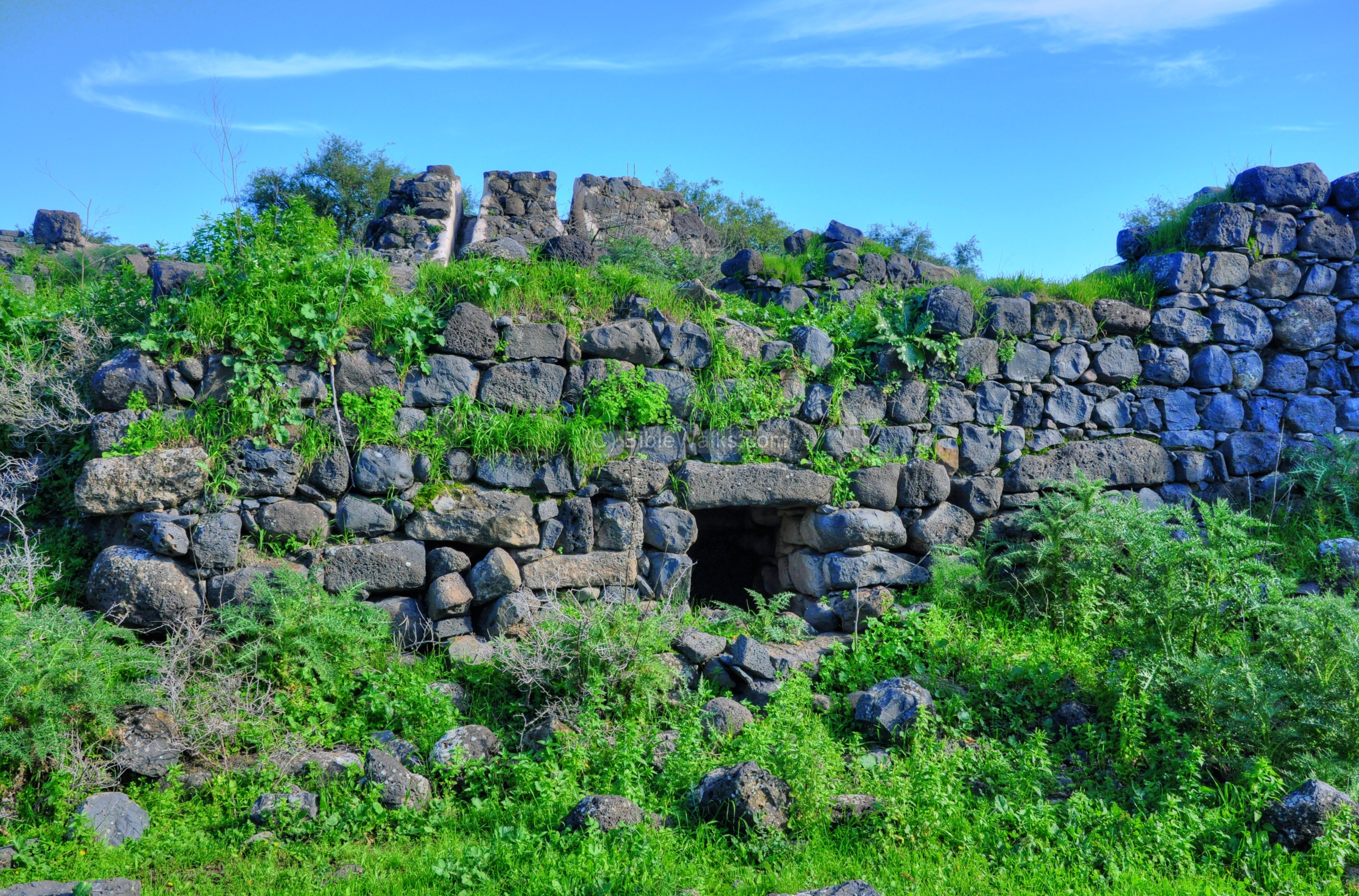
A closer view of the chamber where the two mill wheels were located:
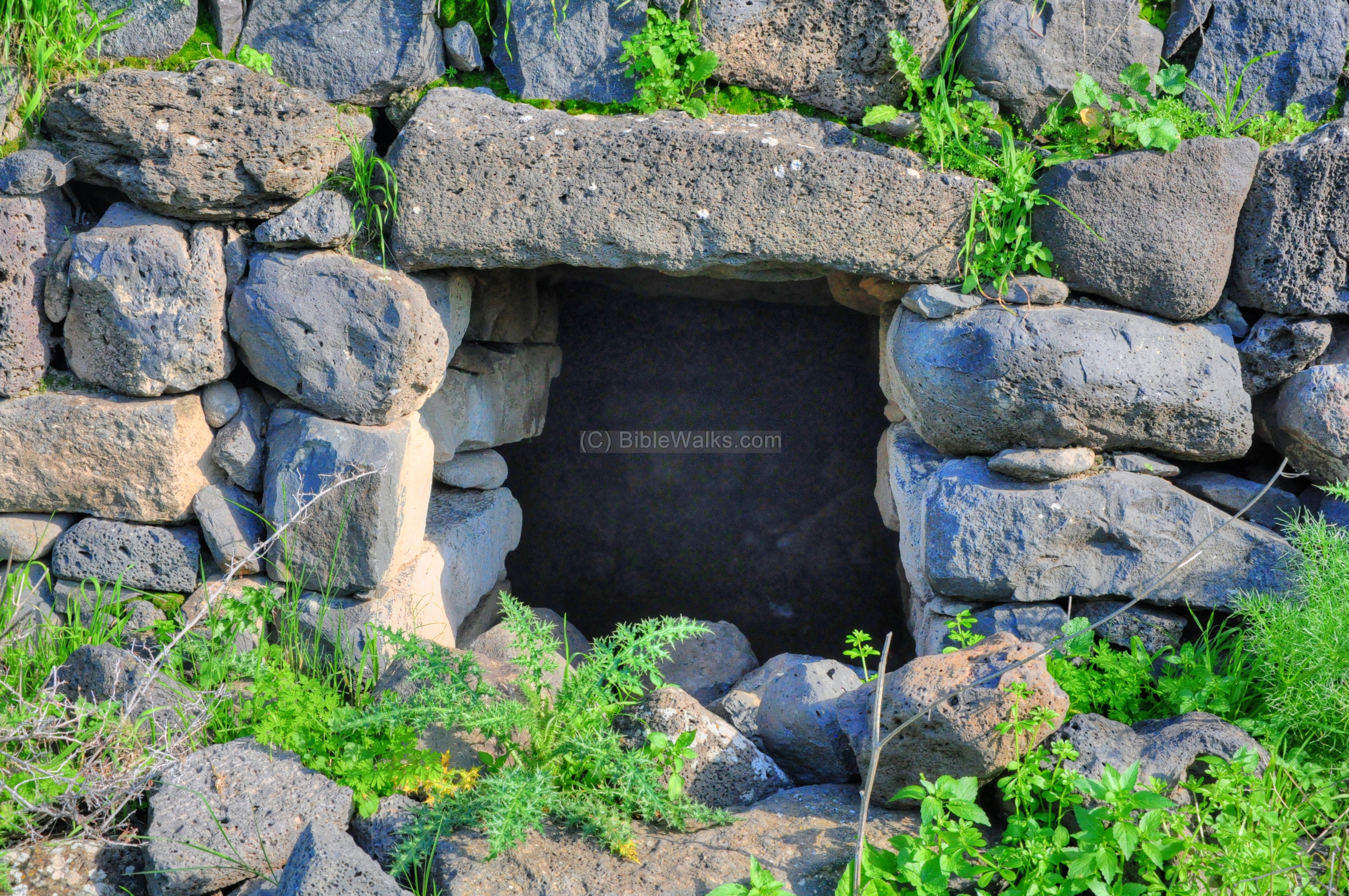
The inner side of the cavity, where the water turned the mill wheels:
The water reached here via a channel, then slid down unto the pair of wheels, turning them around by the force of the water. The wheels then turned a grinding stone around, crushing the grains into flour.
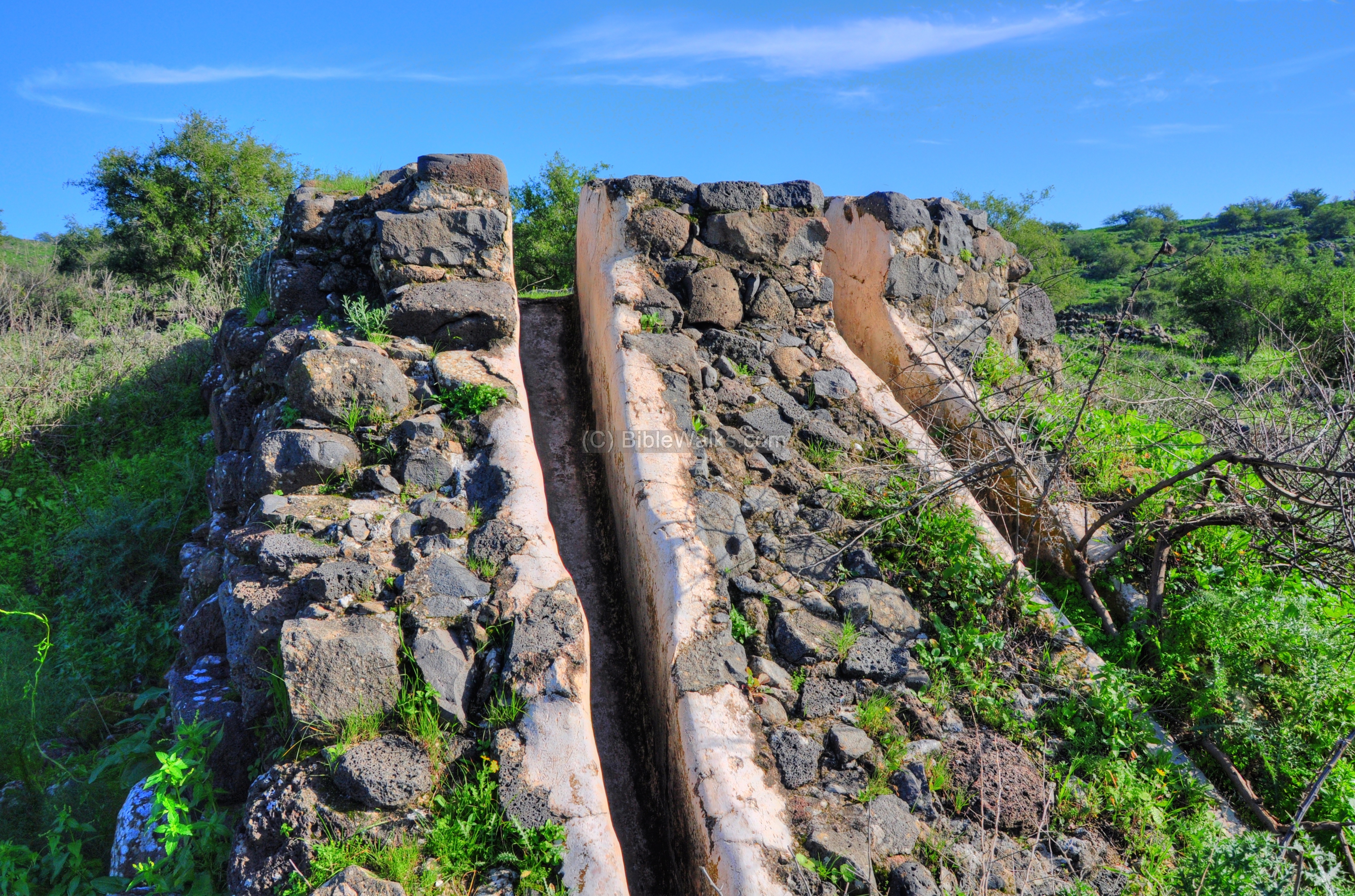
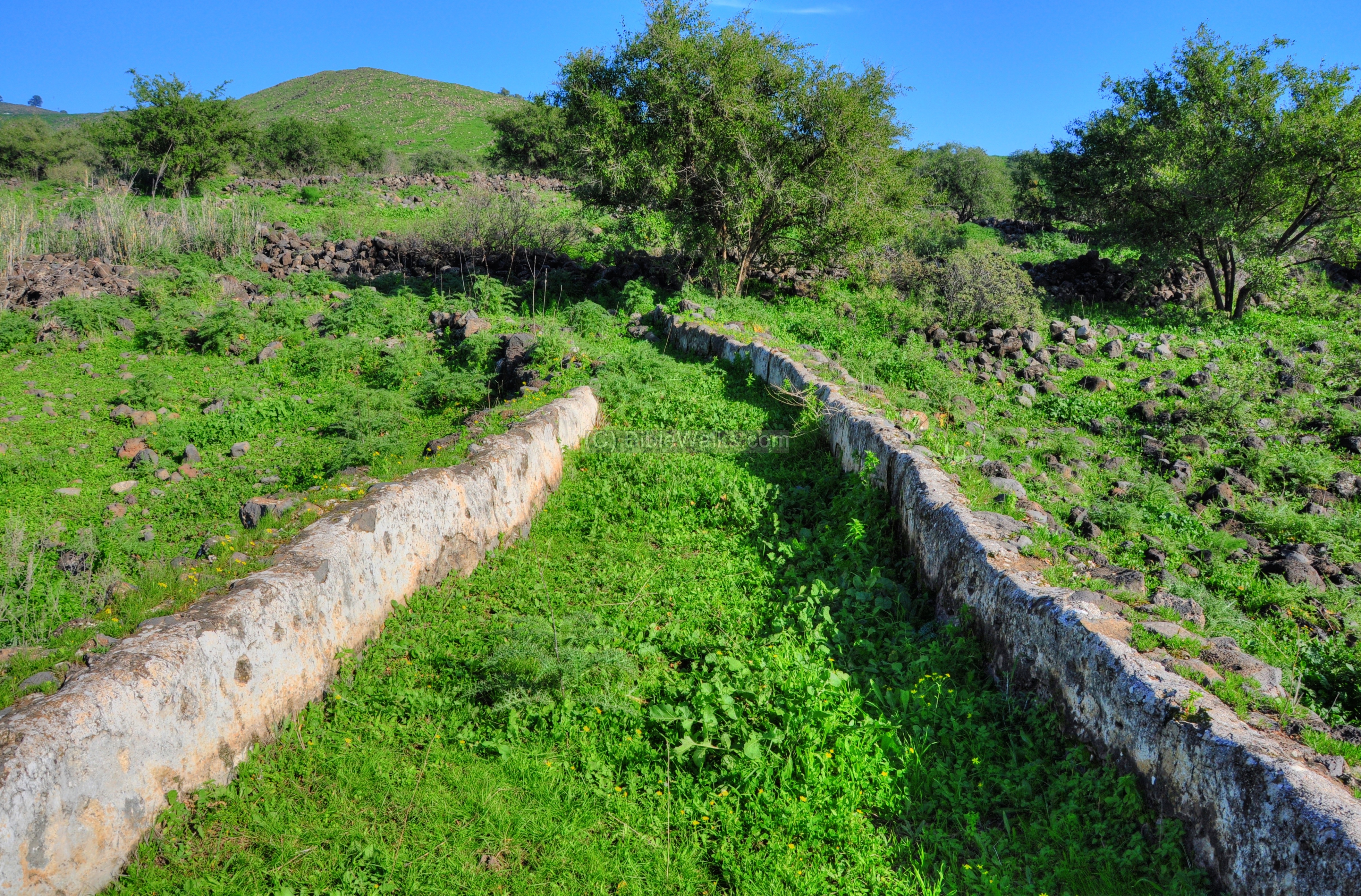
The outlet to the two slides are seen below at the edge of the water channel. Another outlet was located on the right side for overflow, cleaning and water supply for other purposes.
The water channel received its waters from an aqueduct which entered from the left (north side). The aqueduct diverted the water from an upstream location, at a point located several hundred meters to the north of the mill.
This end of the aqueduct is seen on the following picture from its southern side. On the far left background are the houses of Moshav Almagor.
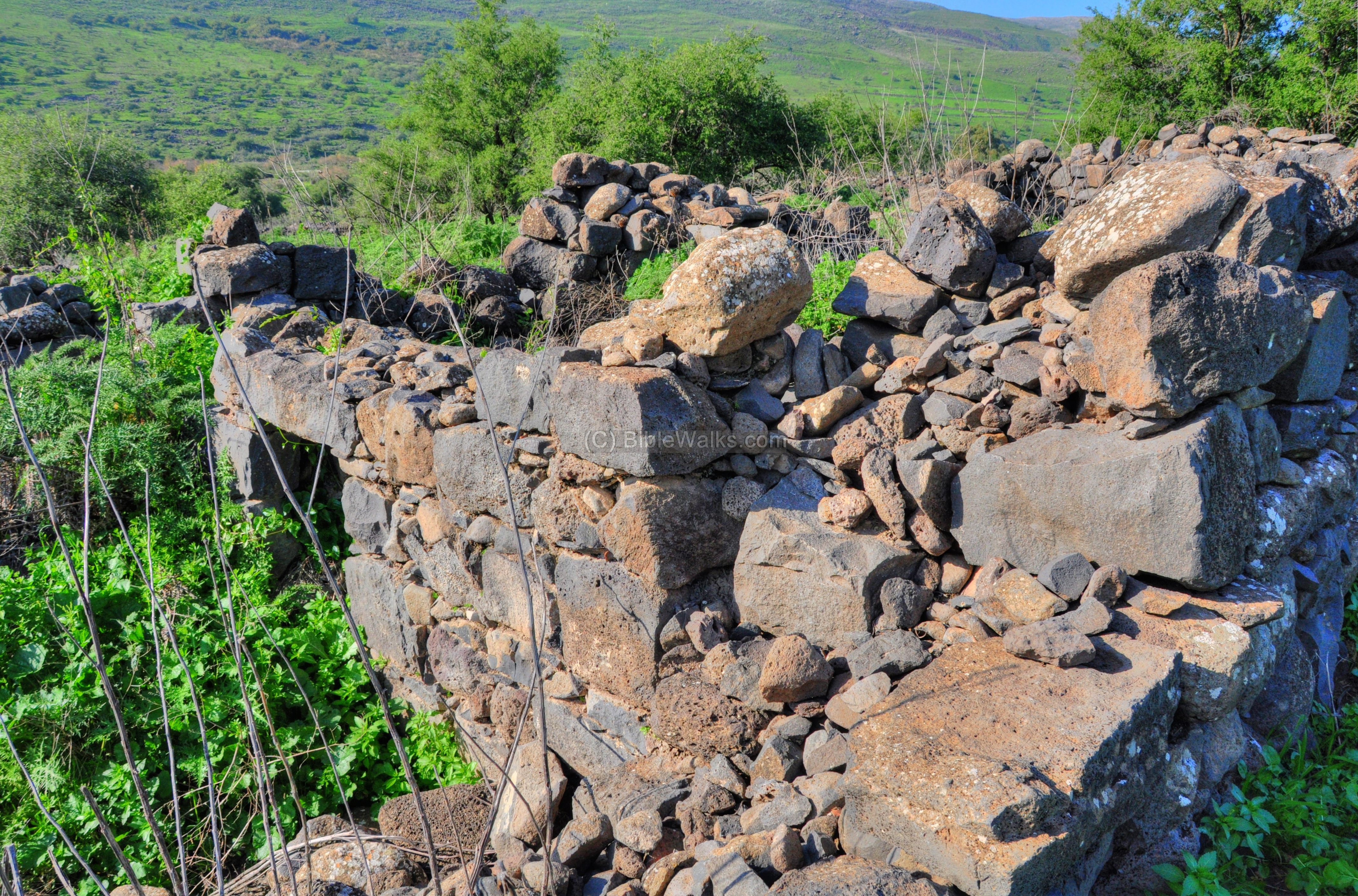
(d) Houses:
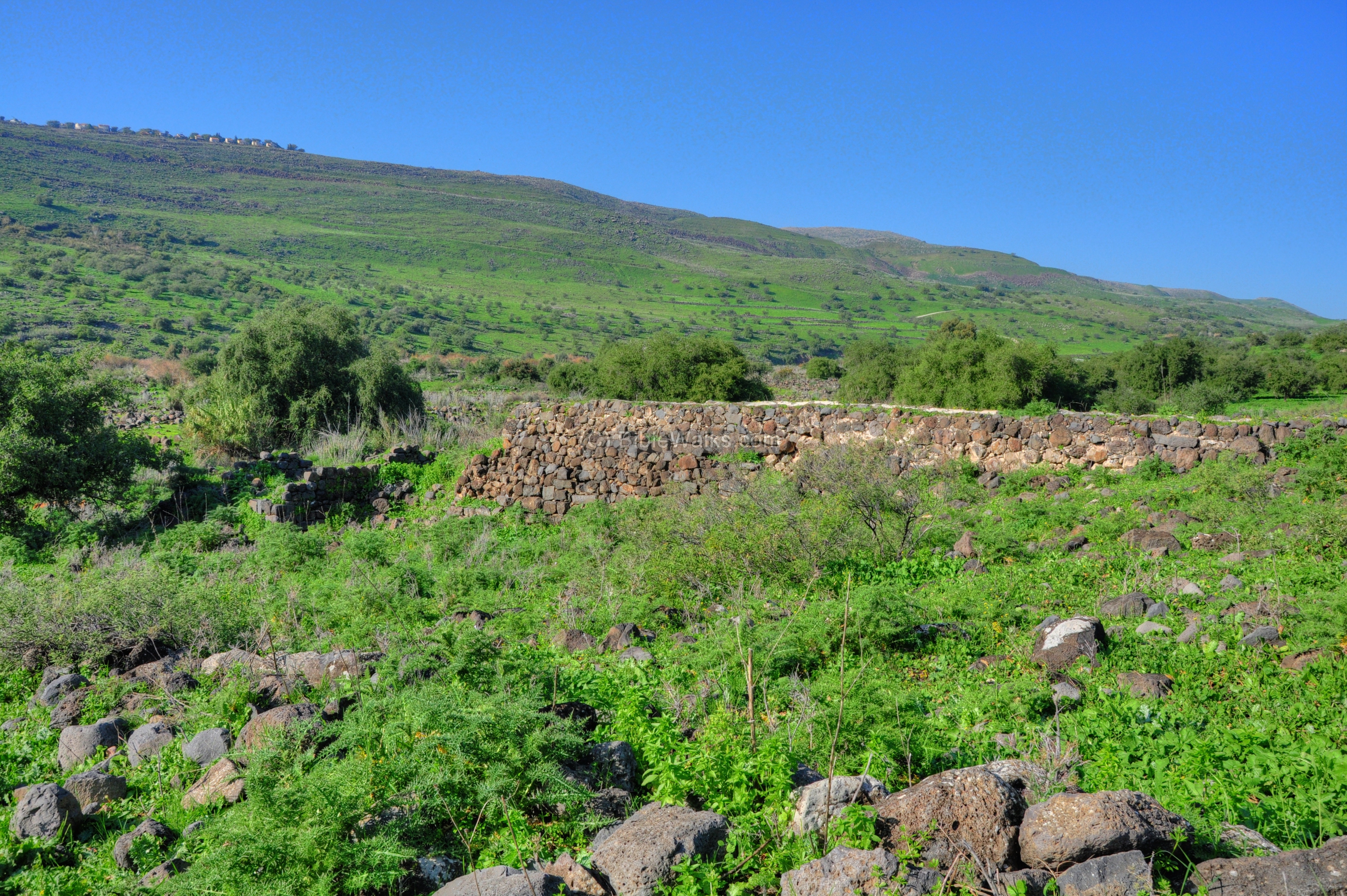
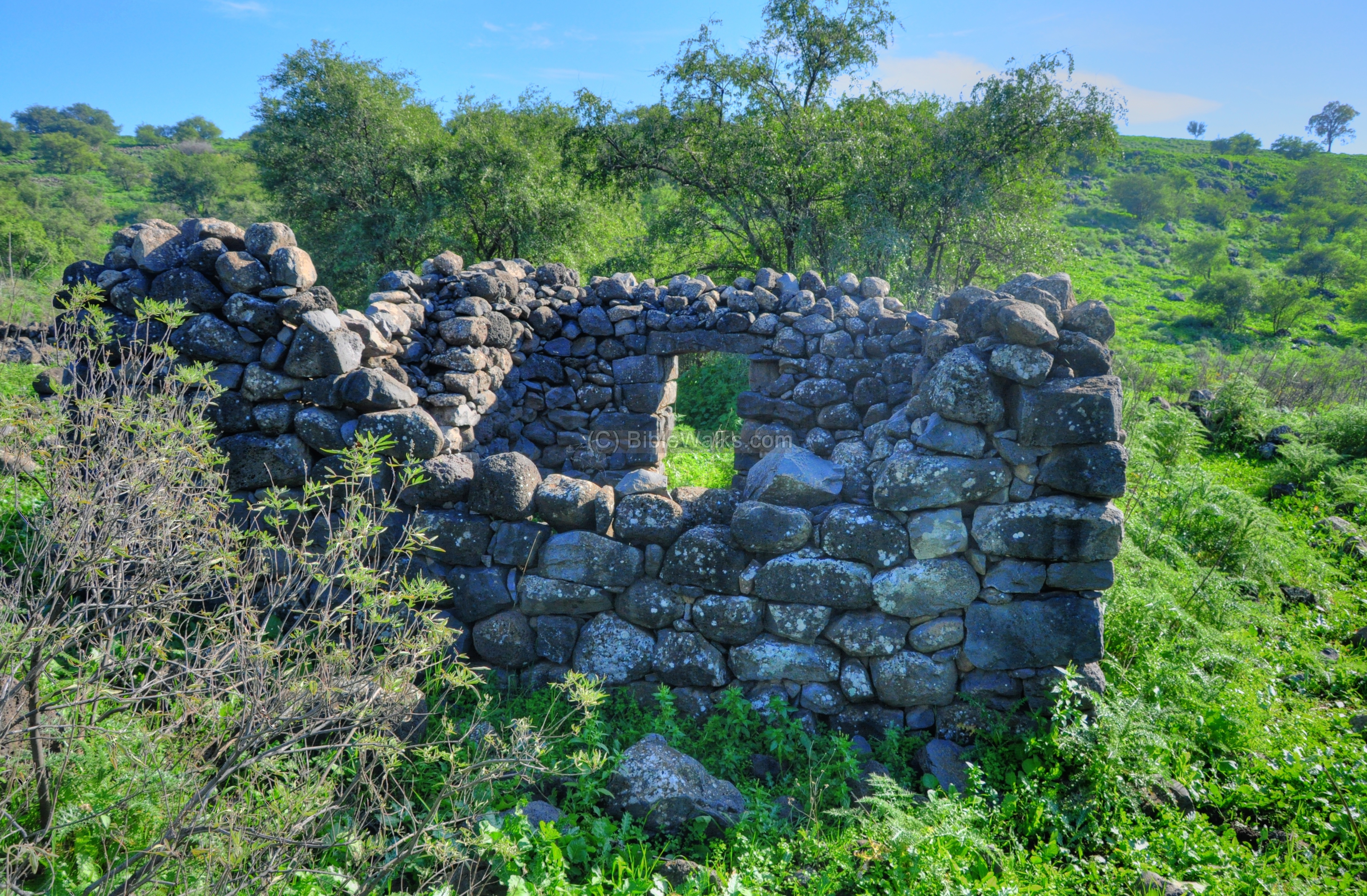
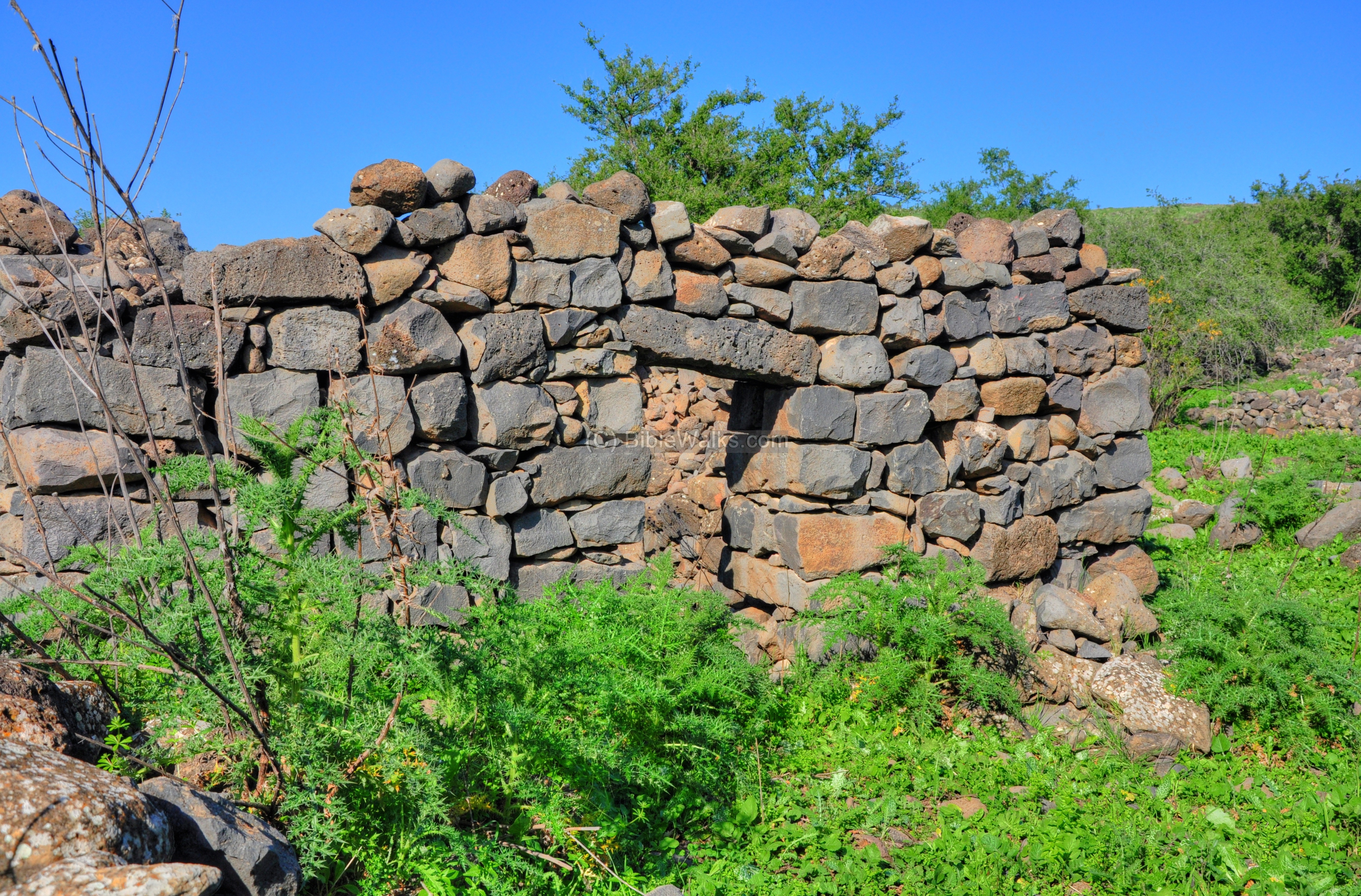
Ruins of the stone houses are located all around the site. Most of the houses are in a bad shape, with grass and bushes covering most of the stones.
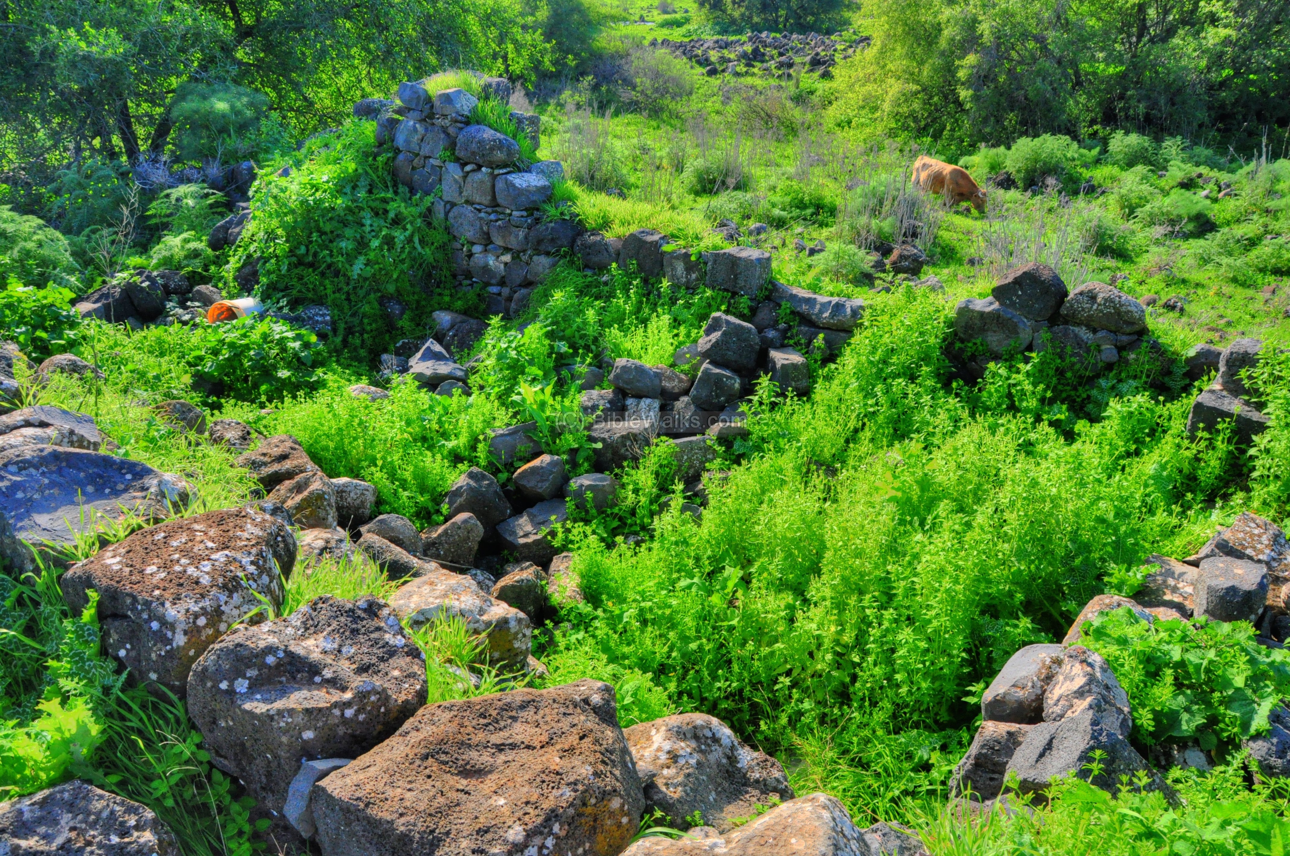
From 1948 until 1967 this was a war zone, located on the fragile border between Syria and Israel. The houses were probably in actual use only until 1948 and then abandoned. The houses were built on the ruins of the Roman-period houses and reused their old basalt building blocks.
Another view of the ruins, with one of the streams of the Jordan river passing from right (north) to left (south). At this point the Jordan river flows in several small and shallow streams, and only later it joins into a single channel that enters the Sea of Galilee.
A closer detail of one of the ruined houses is shown below. These houses are very simple, four walled rooms, with a stove and window embedded into its walls.
A view from the other side:
Yet another view of the house:
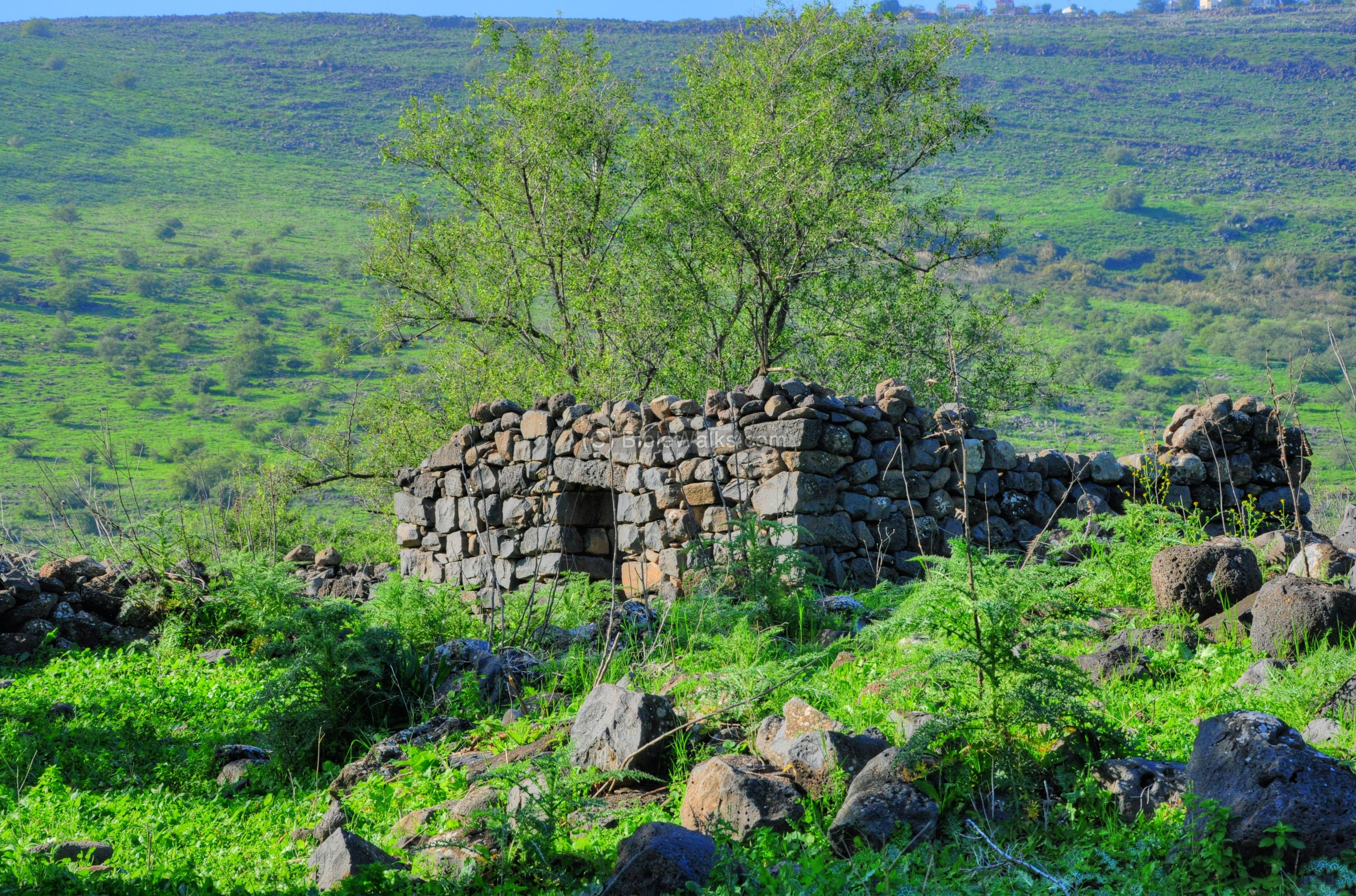
Another stone house is located on the higher side of the ruined village:
The same house is seen in the following photo, from the north-west side.
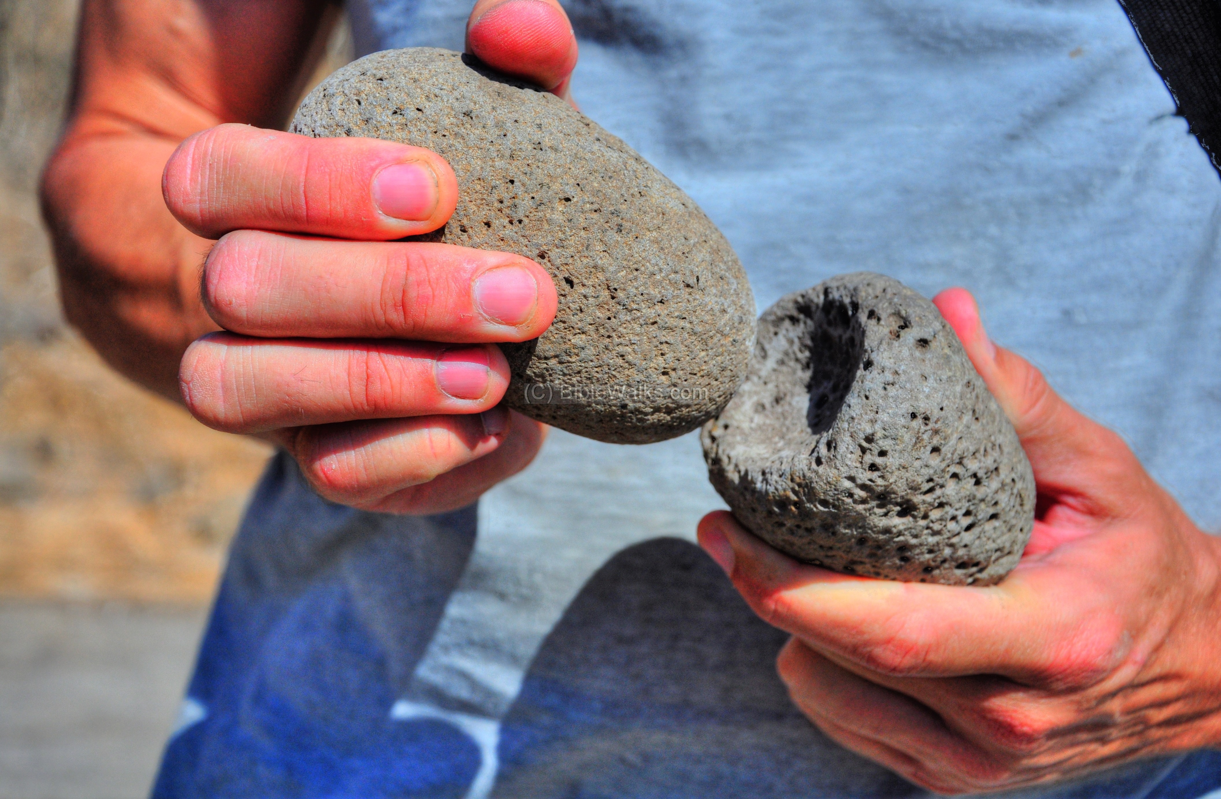
(e) Tools:
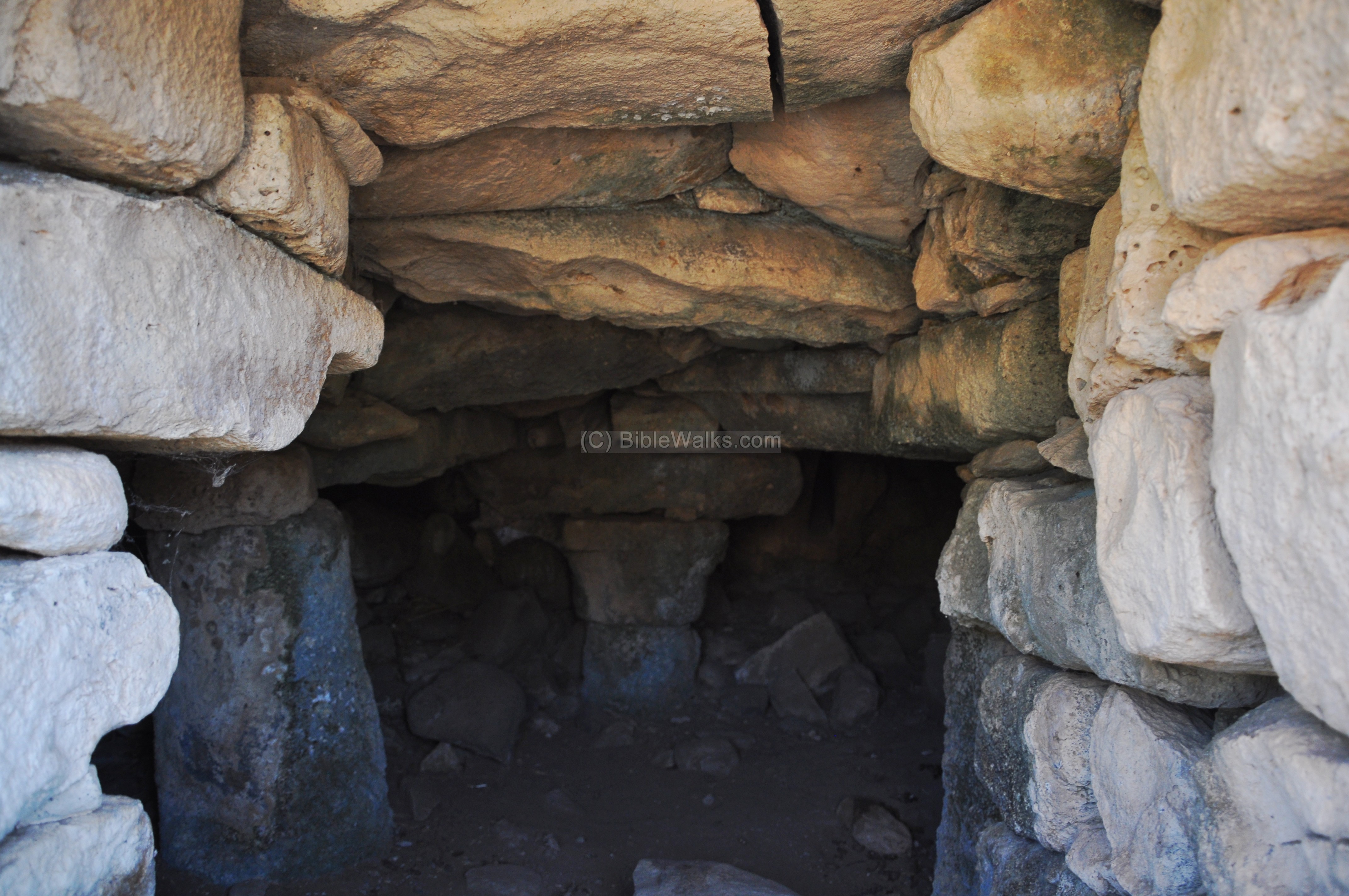
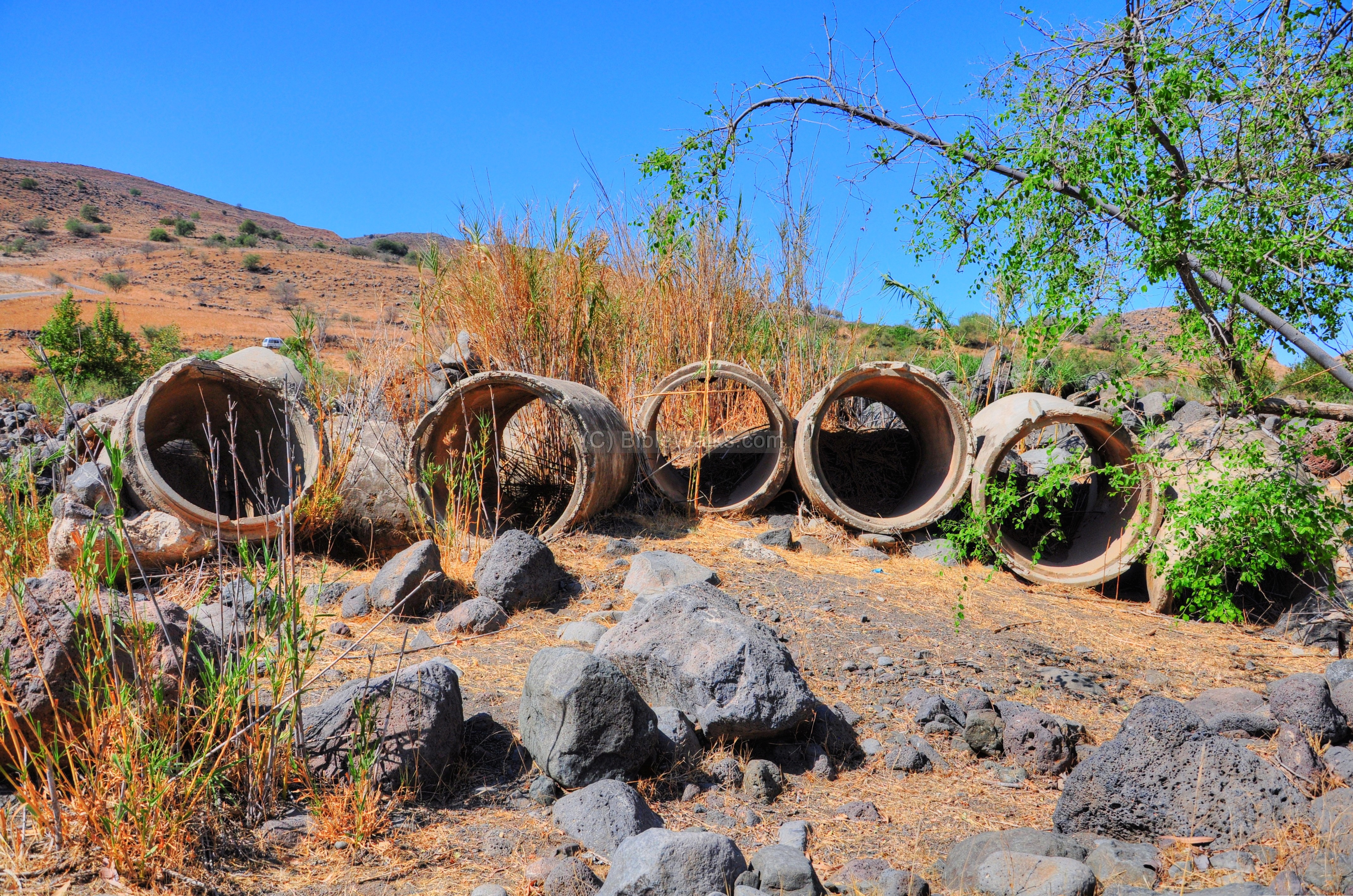
A section of a basalt grinding stone was found near the mill:
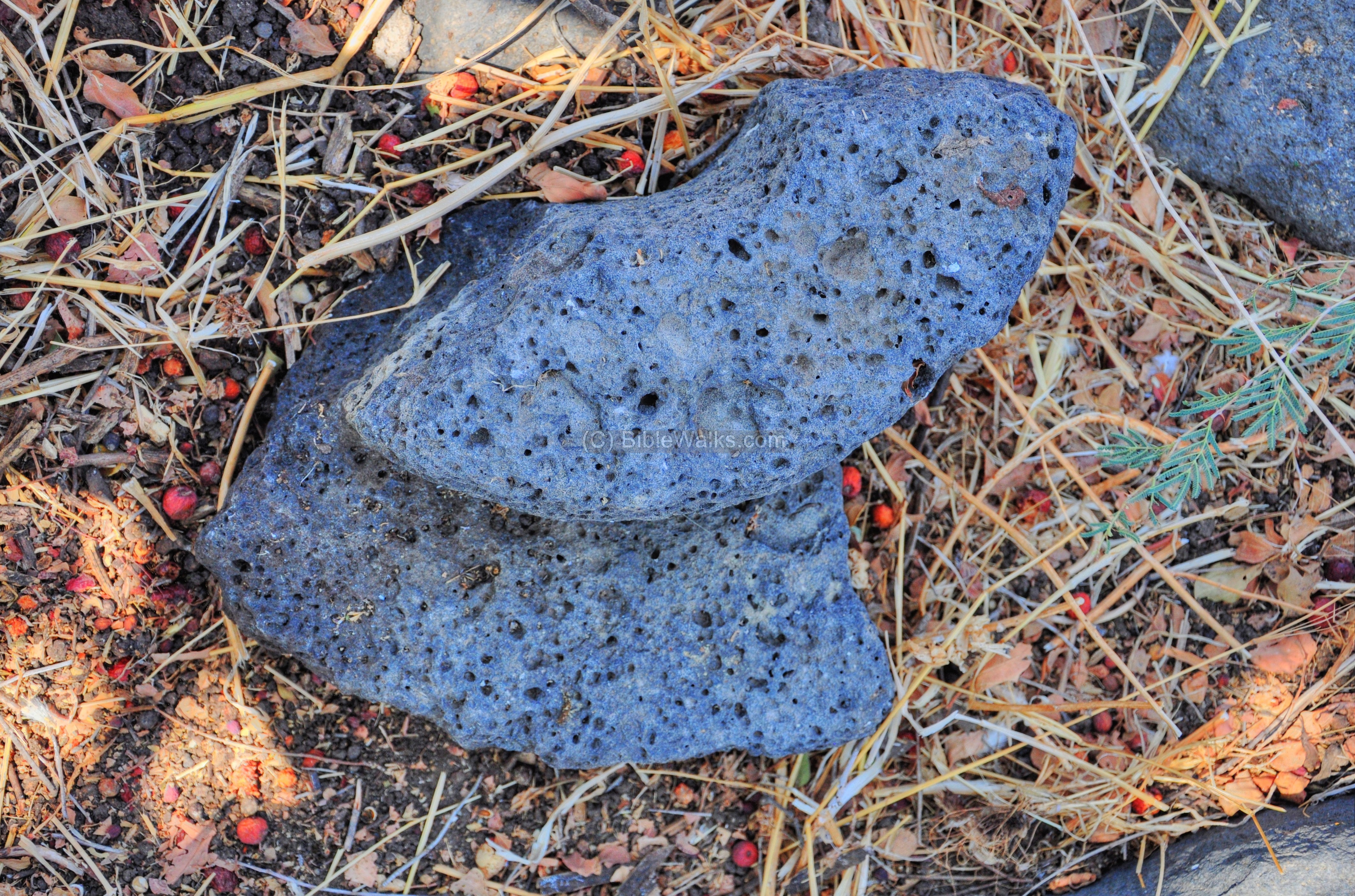
Another, smaller, grinding stone and its base was found in another section of the village:
(f) Jordan River:
Several streams of the “upper” Jordan river pass along the western side of the ruins, and flow into the direction of the Sea of Galilee.
Notice that the green grass of the previous photographs – taken during the rainy winter season – has completely dried out in this photograph – taken at the end of the summer. Although the Jordan river flows here, the hills around it are very dry during the summer and fall.
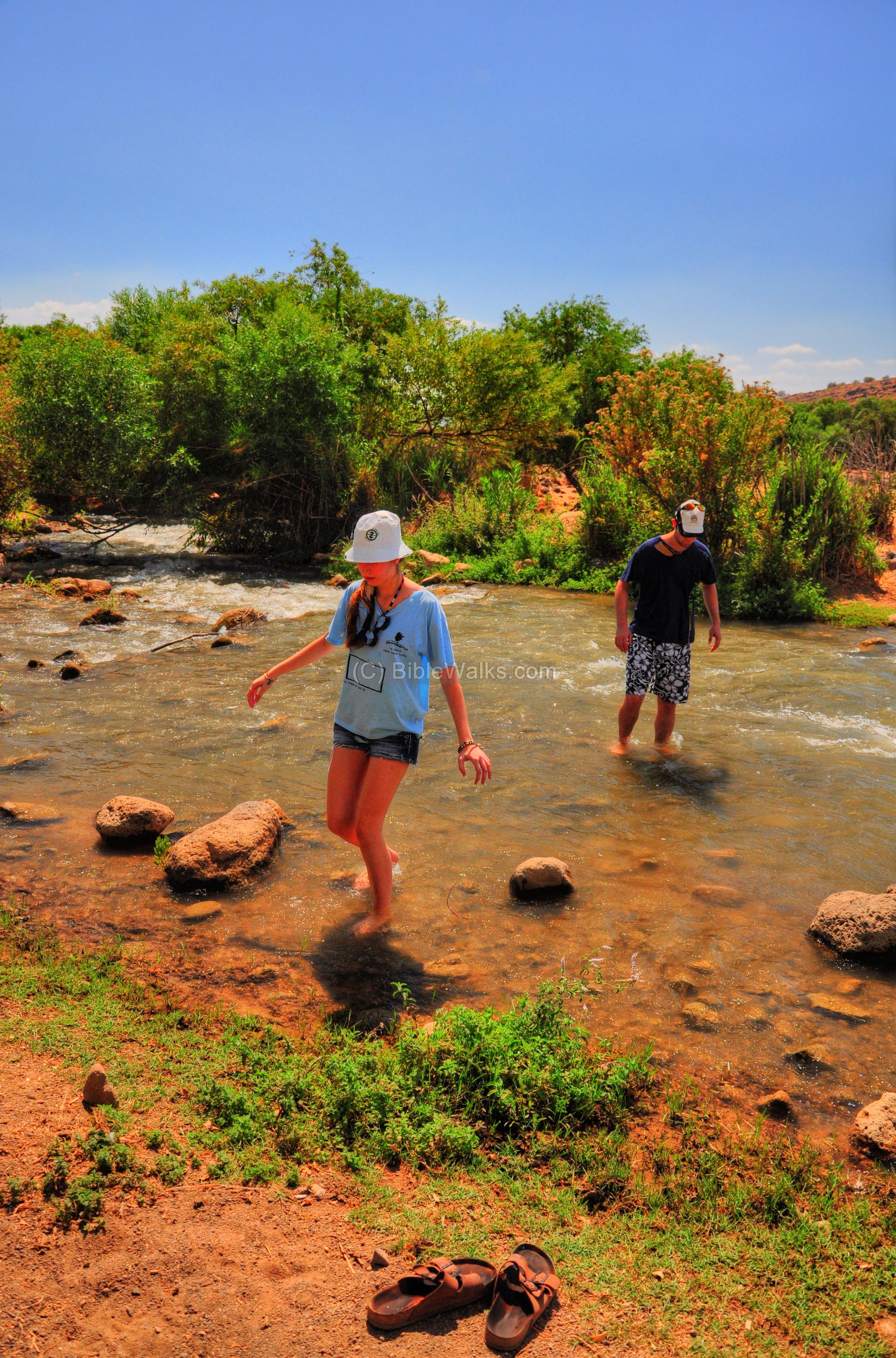
The stream is shallow and its waters are refreshing, especially when it is so hot outside. Here, Amit and Ohad try to cross the stream, focusing on standing upright in the forceful stream of water.
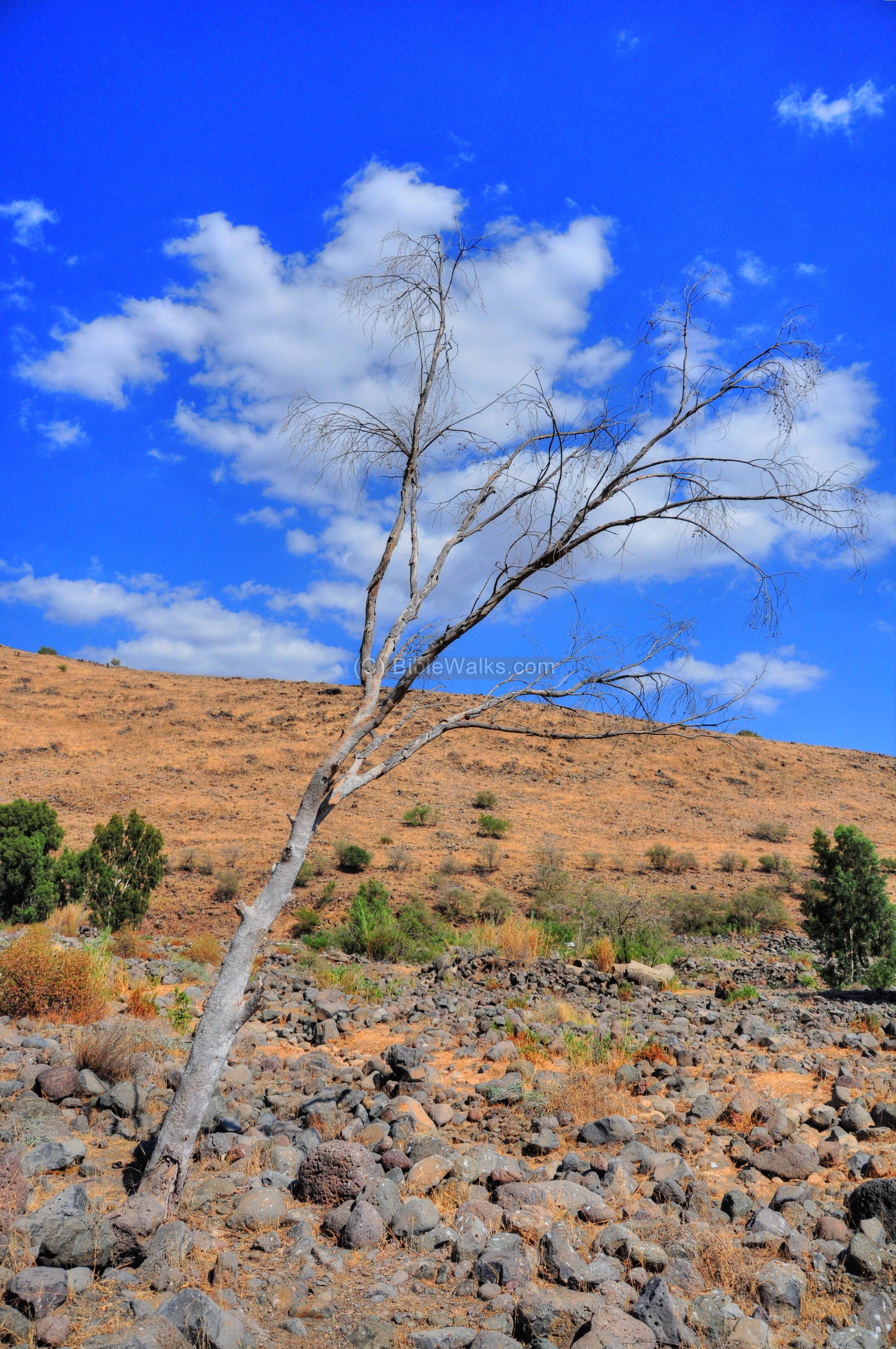
A bridge over the Jordan river was once located 500m upstream. Tragically, the force of the water caused a bus to crash into the river during the winter of 1975 , killing two of its passengers – elder women volunteers to the army. Ever since the bridge was abandoned, and it is named after the women volunteers (nicknamed “Aunties“, or “Ha-Dodot” in Hebrew).
Around the ruins of the bridge are great views of the river and the hills around it. This dead tree below, with the clouds behind it, looks like a cotton candy:
Another view of this section:
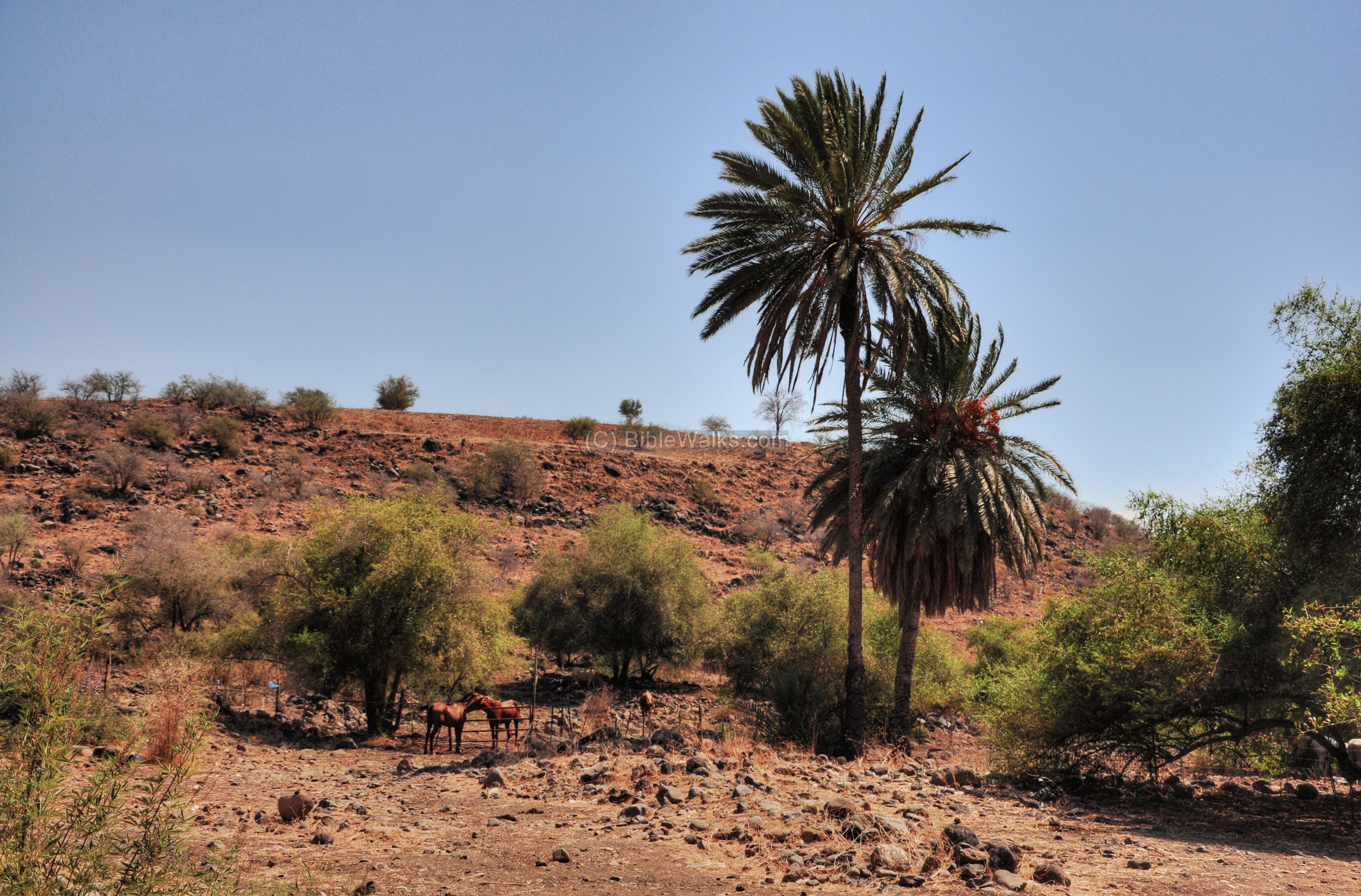
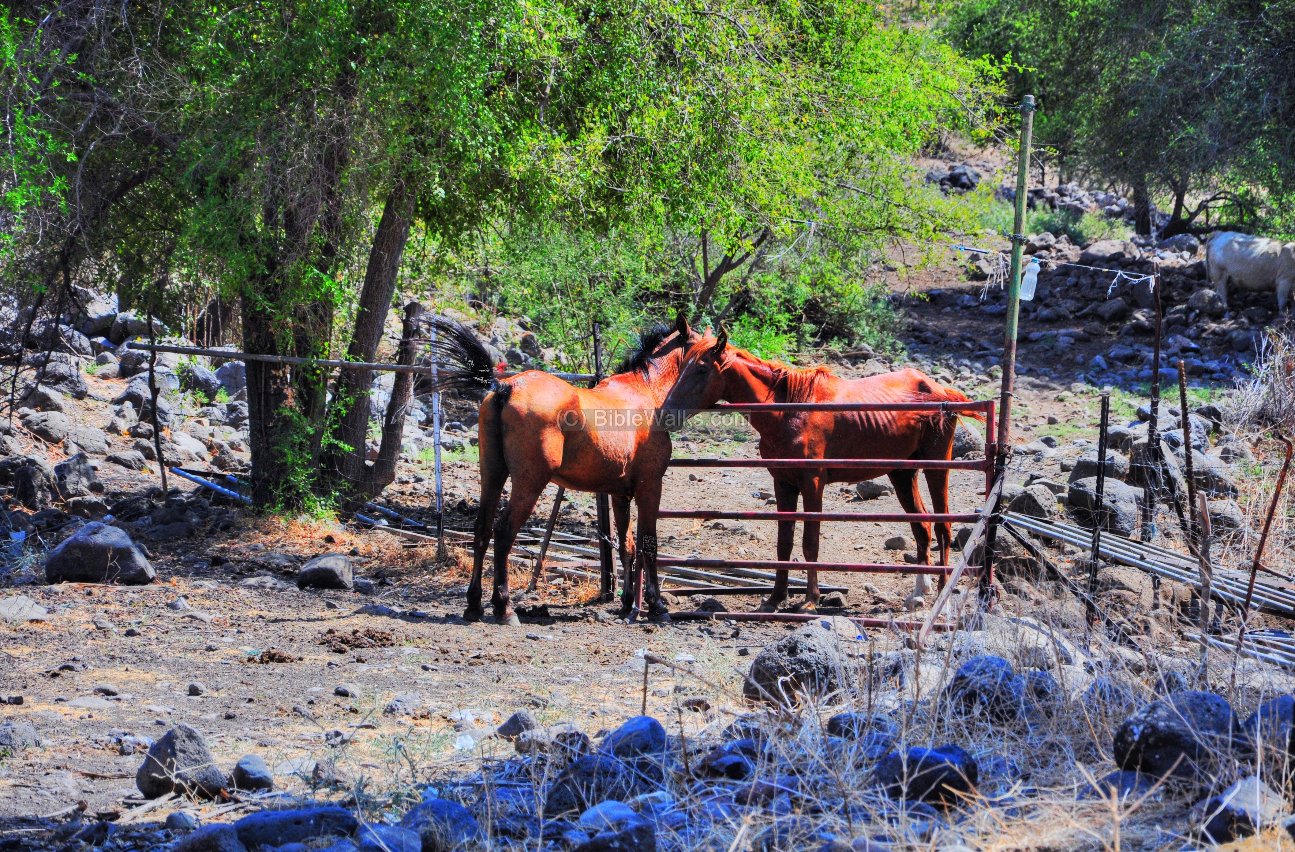
(g) Horses:
A pair of horses are seen near the ruins of E-Dikke.
A closer view of the pair of horses – seeming to like each other:
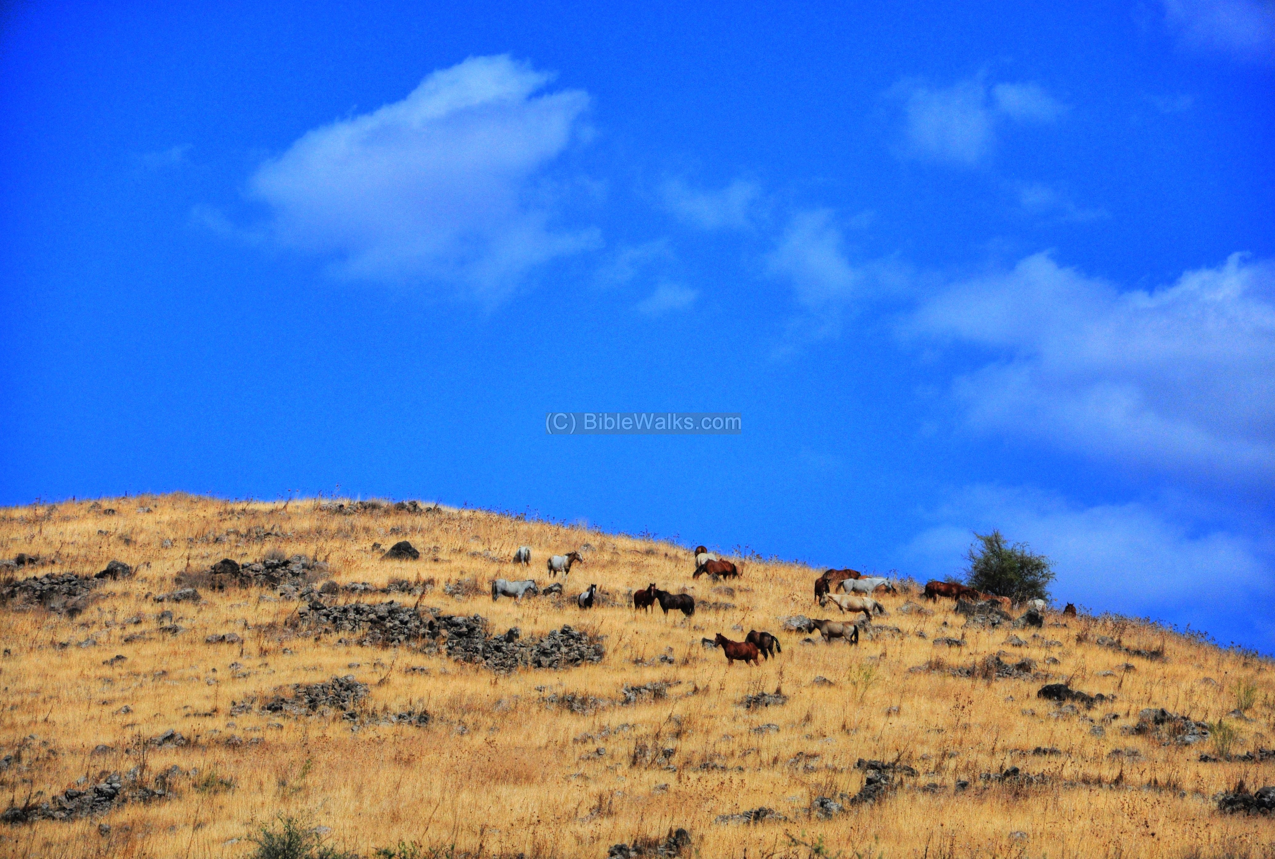
Another open field horse ranch is located on the hills above the road, amid other ruins of the ancient village.
(h) Had-Ness:
Behind the hill is the settlement called Had-Ness – which was established in 1987 by settlers who were evacuated from the Sinai desert after the peace treaty with Egypt.
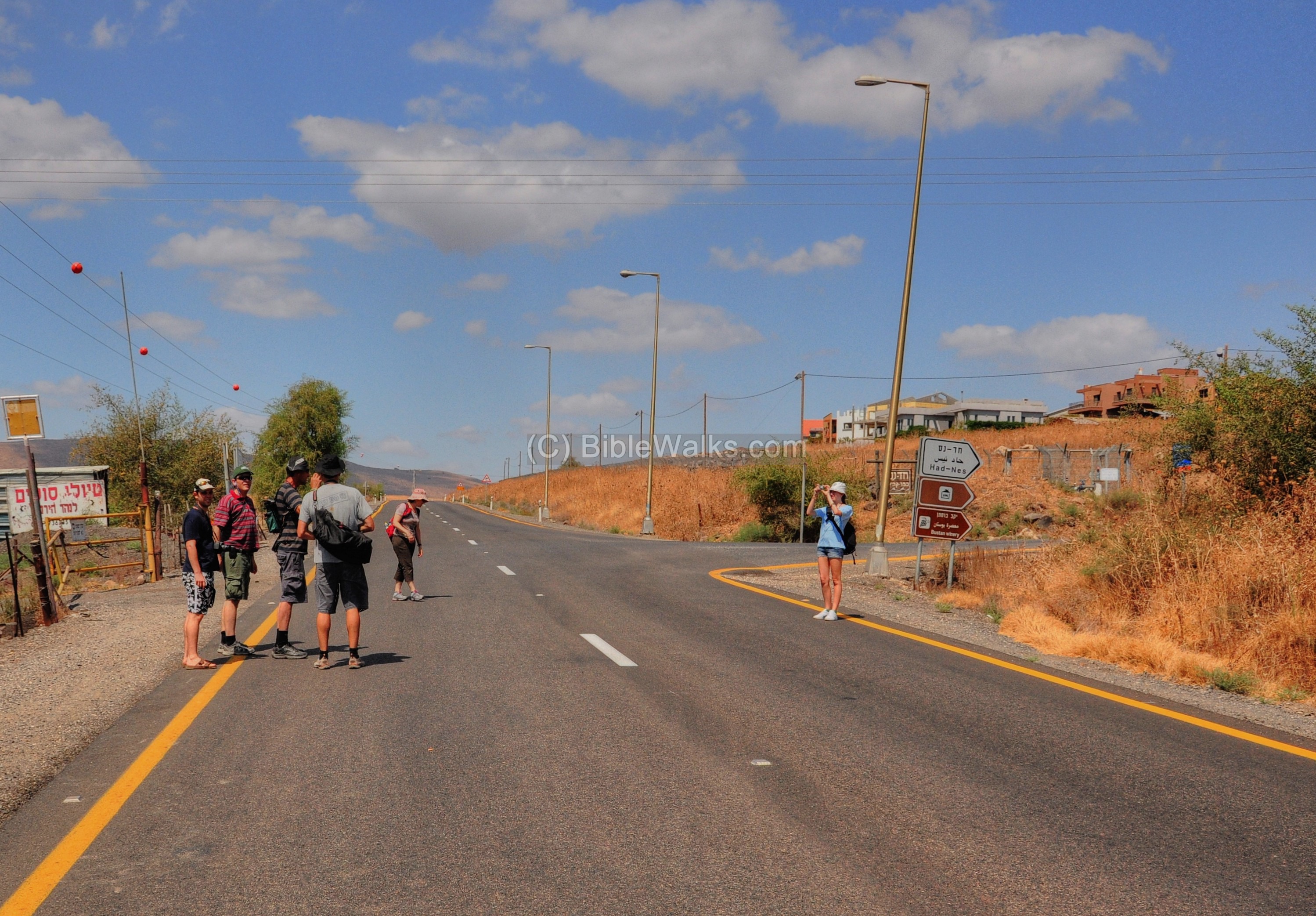
The settlement’s income is focused on renting cabins for vacations (“Zimmer” units). In a large recent real-estate development project, 150 new homes were added, each equipped with 2 zimmer units which are the basis of the home-owner’s income from tourism. The village offers additional excursions, such as horse-riding to the Jordan river (as posted on the sign on the left), jeep tours in the area, and access to the sites in the Golan and Sea of Galilee.
The sign below spells “Had-Ness” in Hebrew, which was composed of the names of 3 settlements that were demolished after the peace treaty with Egypt.
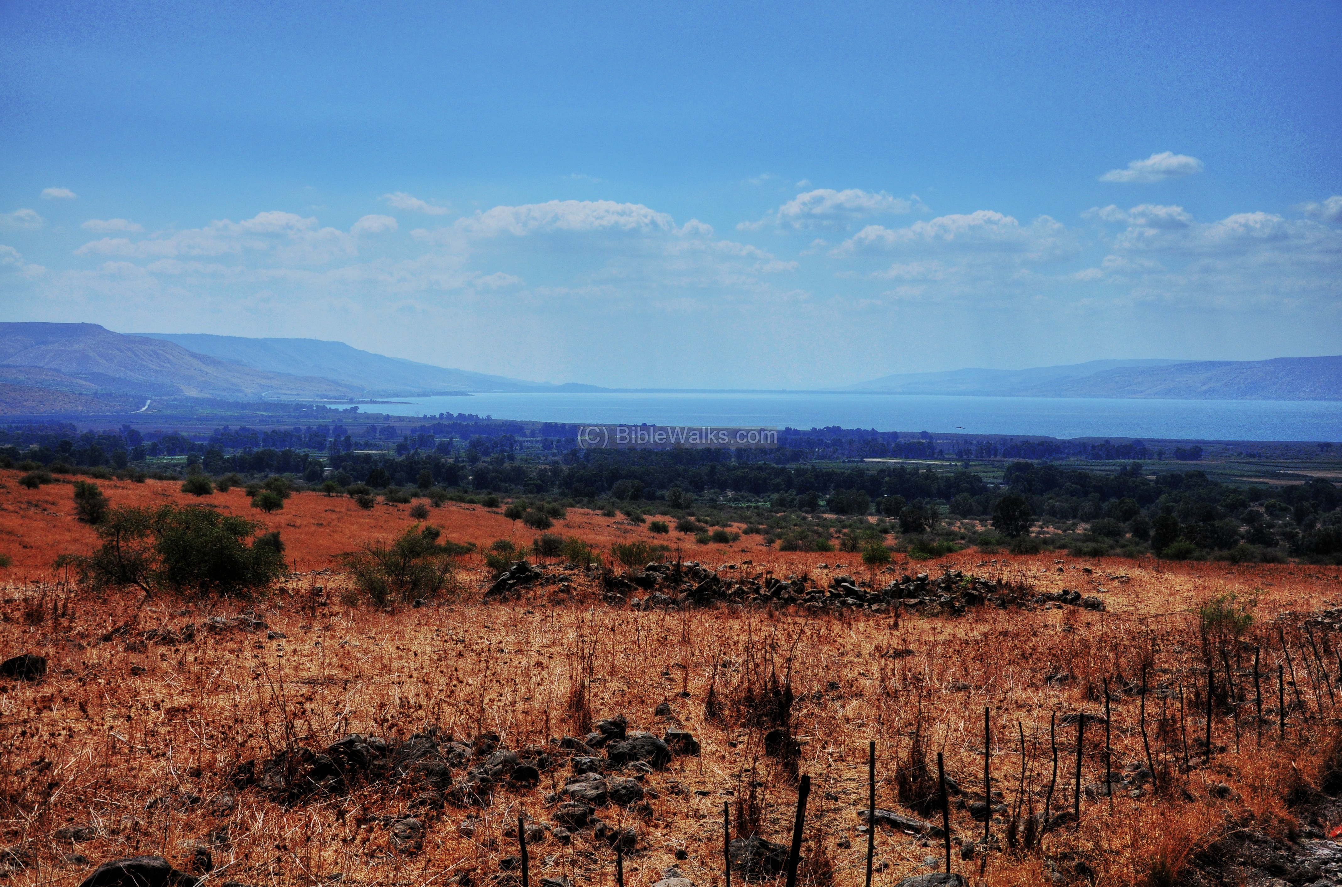
From Had-Ness is a beautiful view of the north side of the Sea of Galilee.
Etymology (behind the name):
-
Dikka – Arabic: a raised bench or seat, usually built along an external wall
-
Ed-Dikke – Arabic name of the ruins (the ruins of the “raised bench”, perhaps named after the mill)
-
Dakka, Dakar – other names of the site (Hebrew modern names)
-
Khirbet (Arabic), Hurvah, Harvat (Hebrew) – means: ruins. Based on the root Hebrew word “Harev” – ruined. Example of a Biblical verse (Jeremiah 27 17):”…wherefore should this city be laid waste?”.
-
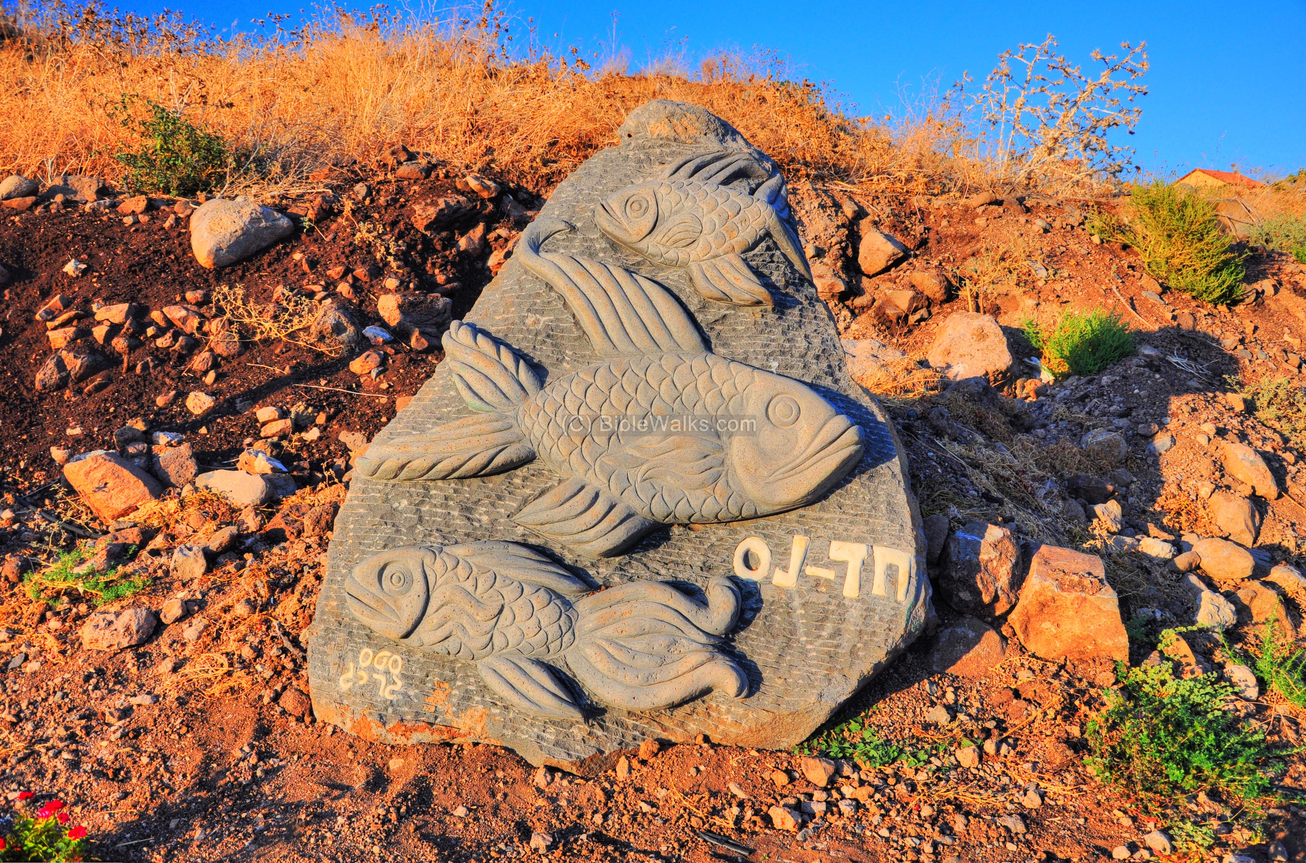
Bettiha (Betikha, Putaha) – the fertile valley around the mouth of the upper Jordan river. It covers an area of 5KM along the shore and 4KM to the north. This Arabic name was in use during the Crusaders period, and is still in use to describe the region.
- Had-Ness: A Golan community nearby, established in 1987. Its name is composed of the names of 3 settlements ( Holit, Dekla and Neot Sinai) that were demolished after the peace treaty with Egypt.
Links:
* External links:
- Jordan Park – nearby site (1 KM to the south)
- Yad Hashmona Biblical Garden
* Internal links:
- BethSaida – nearby site (2km to the south-east)
- Quadcopter Aerial views – collection of Biblical sites from the air
BibleWalks.com – witnessing the Biblical places
BethSaida Coins <<<–previous site—<<<All Sites>>>—>>>— next Golan site—>>> Gamla
This page was last updated on Mar 6, 2022 (added Yad Hashmona garden)
Sponsored links: